Elevation of 32 Dockery Rd, Russell Springs, KY, USA
Location: United States > Kentucky > Russell County > Russell Springs >
Longitude: -84.992847
Latitude: 37.0058188
Elevation: 296m / 971feet
Barometric Pressure: 98KPa
Elevation Map:
Satellite Map:
Related Photos:
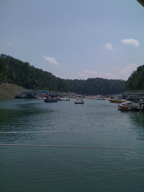
View of Lake Cumberland

Harbor View

View of Lake Cumberland

SP37_0002.JPG

Cumberland Lake

lake cumberland select-1-5

lake cumberland select-1
Lake Cumberland Lodge
Bye bye Lake Cumberland
Wild Kentucky

Eadsville, Aug 2, 2008
Eadsville, Aug 2, 2008
SP37_0006.JPG
Topographic Map of 32 Dockery Rd, Russell Springs, KY, USA
Find elevation by address:

Places near 32 Dockery Rd, Russell Springs, KY, USA:
State Hwy, Russell Springs, KY, USA
56 Vebb Smith Rd, Russell Springs, KY, USA
48 Alligator Cove, Russell Springs, KY, USA
163 Tall Timbers Dr
Jamestown
Russell County
1080 N Main St
125 Antle Dr
N Main St, Russell Springs, KY, USA
Russell Springs
Mark Bernard Lane
Russell St, Russell Springs, KY, USA
US-, Russell Springs, KY, USA
KY-80, Russell Springs, KY, USA
KY-55, Jamestown, KY, USA
Basil Roy Spur Rd, Windsor, KY, USA
Windsor
Dickerson Ridge Road
2326 Ky-55
KY-, Jamestown, KY, USA
Recent Searches:
- Elevation of Congressional Dr, Stevensville, MD, USA
- Elevation of Bellview Rd, McLean, VA, USA
- Elevation of Stage Island Rd, Chatham, MA, USA
- Elevation of Shibuya Scramble Crossing, 21 Udagawacho, Shibuya City, Tokyo -, Japan
- Elevation of Jadagoniai, Kaunas District Municipality, Lithuania
- Elevation of Pagonija rock, Kranto 7-oji g. 8"N, Kaunas, Lithuania
- Elevation of Co Rd 87, Jamestown, CO, USA
- Elevation of Tenjo, Cundinamarca, Colombia
- Elevation of Côte-des-Neiges, Montreal, QC H4A 3J6, Canada
- Elevation of Bobcat Dr, Helena, MT, USA