Elevation of 56 Vebb Smith Rd, Russell Springs, KY, USA
Location: United States > Kentucky > Russell County > Russell Springs >
Longitude: -84.971635
Latitude: 37.0422991
Elevation: 320m / 1050feet
Barometric Pressure: 98KPa
Elevation Map:
Satellite Map:
Related Photos:

_MG_1524_edited-1
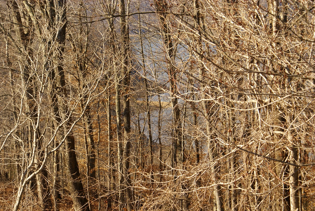
View of Lake Cumberland

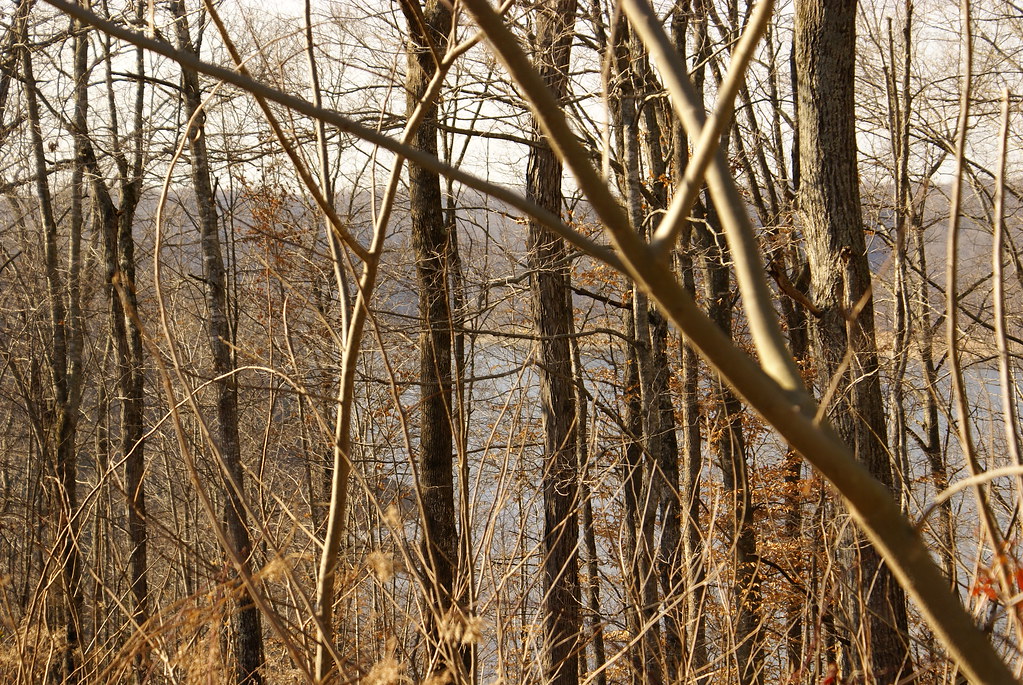
View of Lake Cumberland

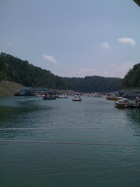
Cumberland Lake
Bye bye Lake Cumberland
Wild Kentucky
Lake Cumberland Lodge

Lake Cumberland Sunset
Lake Cumberland
Lake Cumberland

Eadsville, Aug 2, 2008
Eadsville, Aug 2, 2008
Topographic Map of 56 Vebb Smith Rd, Russell Springs, KY, USA
Find elevation by address:

Places near 56 Vebb Smith Rd, Russell Springs, KY, USA:
State Hwy, Russell Springs, KY, USA
32 Dockery Rd
48 Alligator Cove, Russell Springs, KY, USA
Basil Roy Spur Rd, Windsor, KY, USA
Windsor
Mark Bernard Lane
N Main St, Russell Springs, KY, USA
Jamestown
US-, Russell Springs, KY, USA
Russell St, Russell Springs, KY, USA
1080 N Main St
125 Antle Dr
Russell County
163 Tall Timbers Dr
Russell Springs
Dickerson Ridge Road
KY-80, Russell Springs, KY, USA
KY-55, Jamestown, KY, USA
Rayborn Hill Rd, Liberty, KY, USA
R Grider Rd, Russell Springs, KY, USA
Recent Searches:
- Elevation of Corso Fratelli Cairoli, 35, Macerata MC, Italy
- Elevation of Tallevast Rd, Sarasota, FL, USA
- Elevation of 4th St E, Sonoma, CA, USA
- Elevation of Black Hollow Rd, Pennsdale, PA, USA
- Elevation of Oakland Ave, Williamsport, PA, USA
- Elevation of Pedrógão Grande, Portugal
- Elevation of Klee Dr, Martinsburg, WV, USA
- Elevation of Via Roma, Pieranica CR, Italy
- Elevation of Tavkvetili Mountain, Georgia
- Elevation of Hartfords Bluff Cir, Mt Pleasant, SC, USA