Elevation of N Main St, Russell Springs, KY, USA
Location: United States > Kentucky > Russell County > Russell Springs >
Longitude: -85.076606
Latitude: 37.0183624
Elevation: 304m / 997feet
Barometric Pressure: 98KPa
Elevation Map:
Satellite Map:
Related Photos:

_MG_1524_edited-1

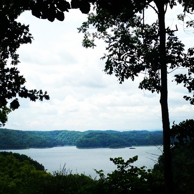
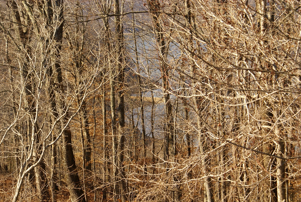
View of Lake Cumberland

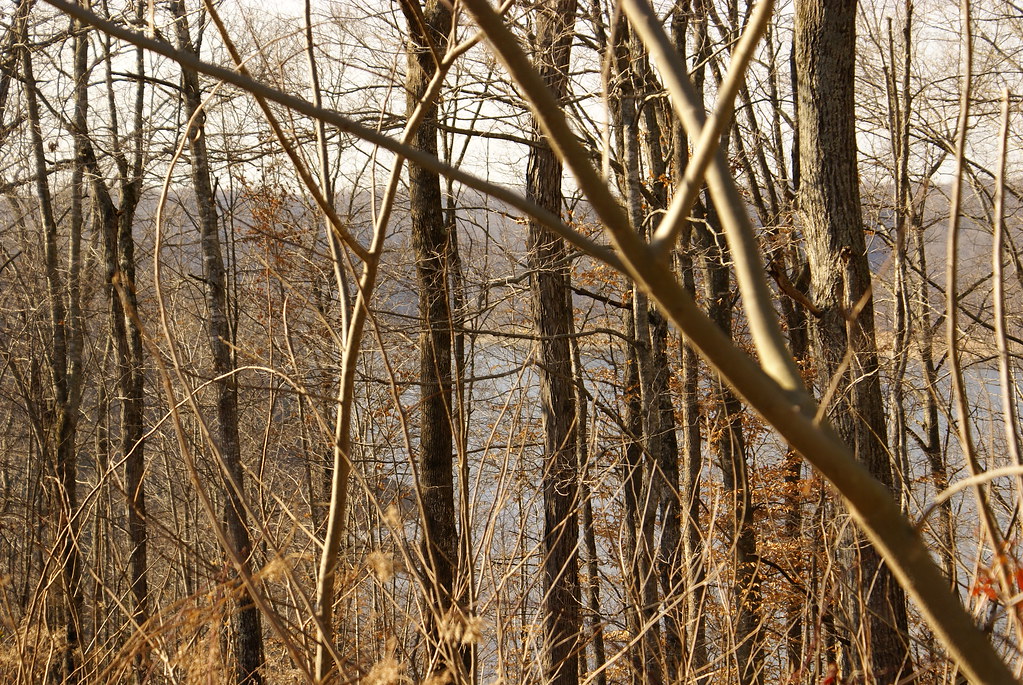
View of Lake Cumberland

Cumberland Lake
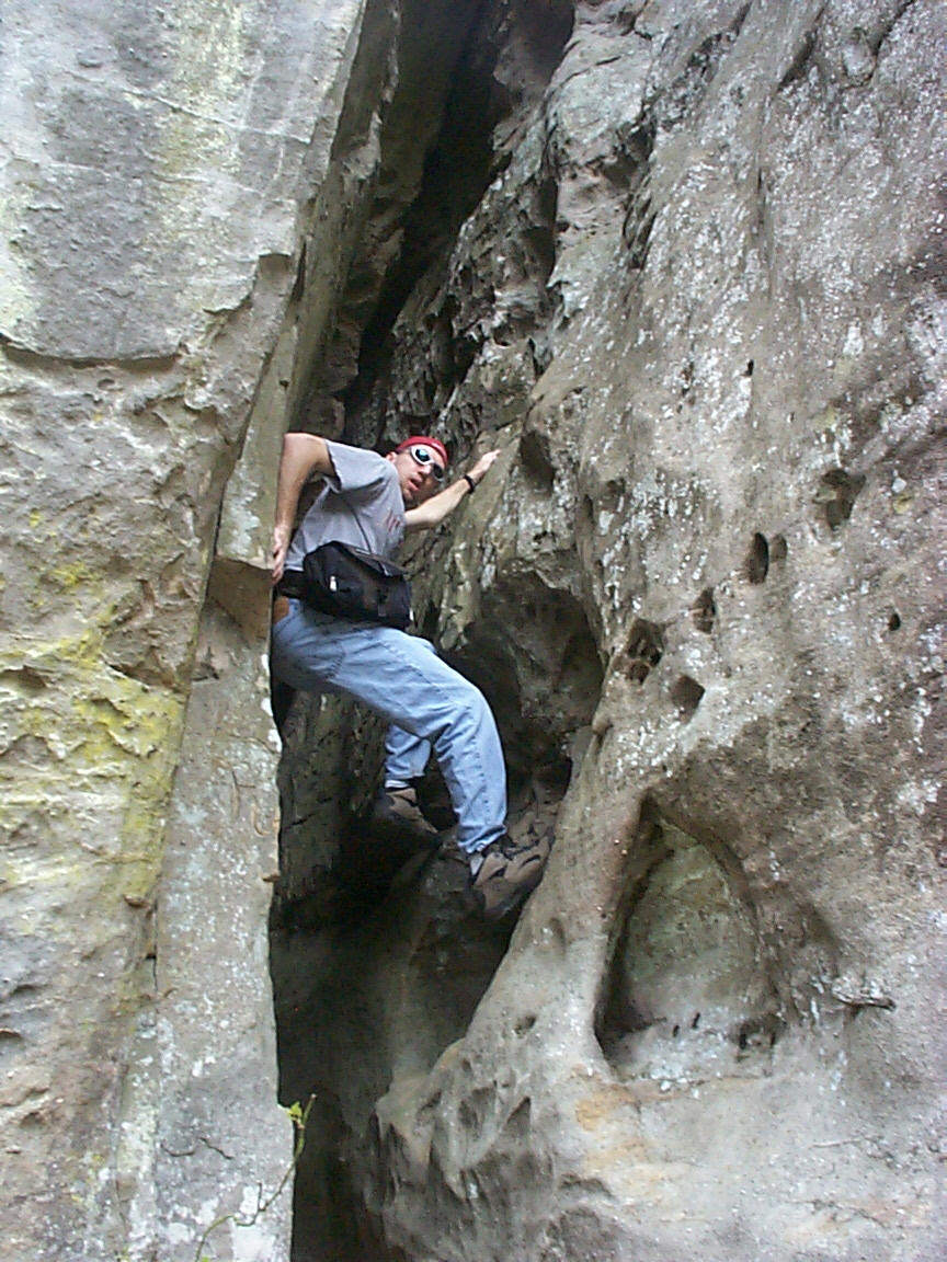
Scaling a cliff
Bye bye Lake Cumberland
Lake Cumberland Lodge
Wild Kentucky

Lake Cumberland Sunset
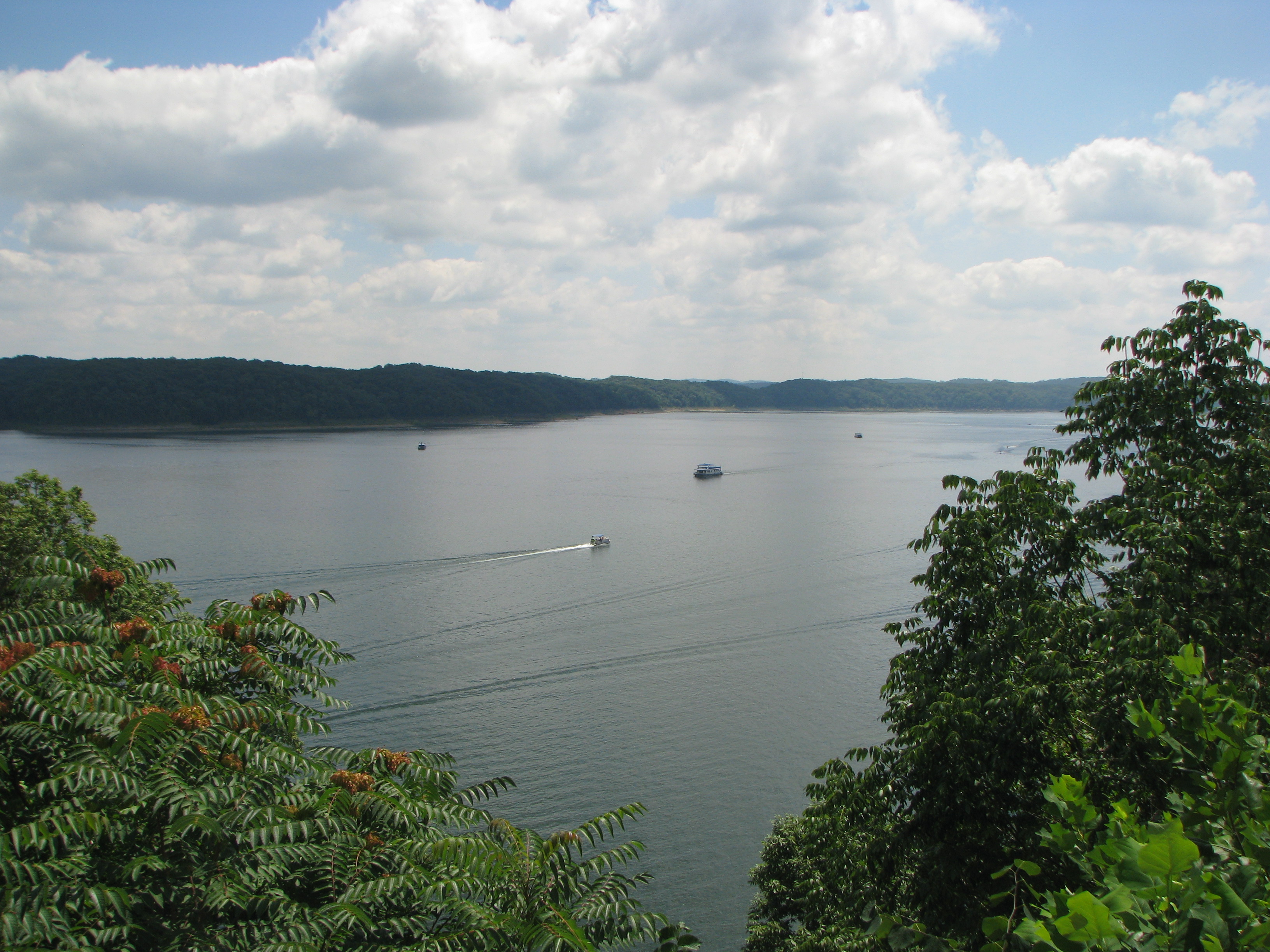
Lake Cumberland
Lake Cumberland
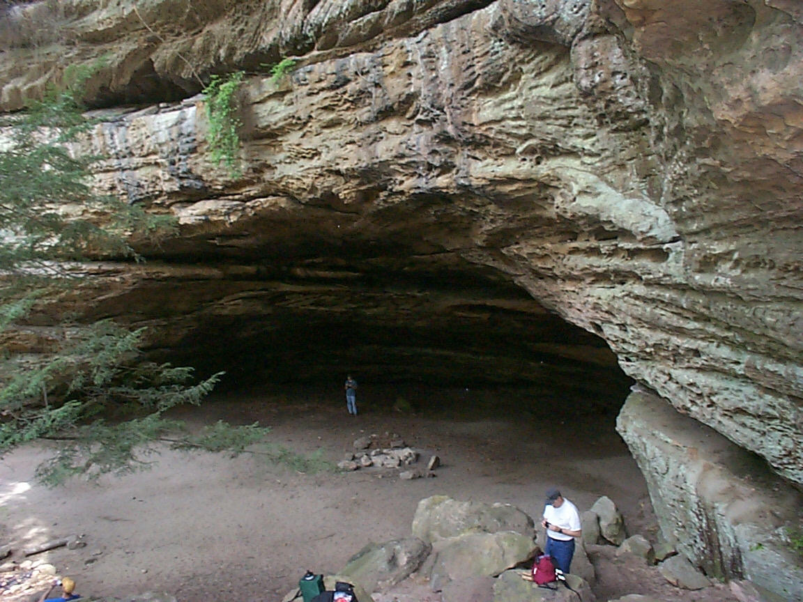
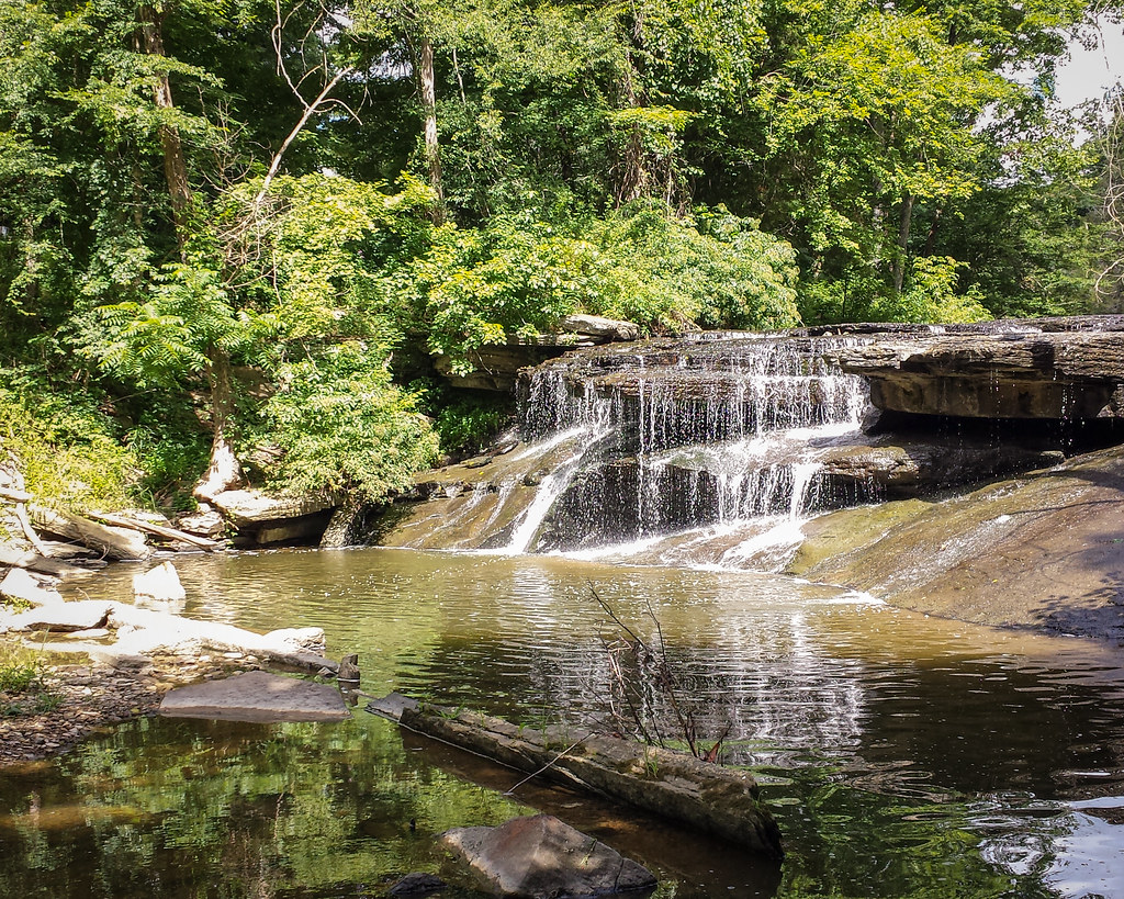
Indian Rock House
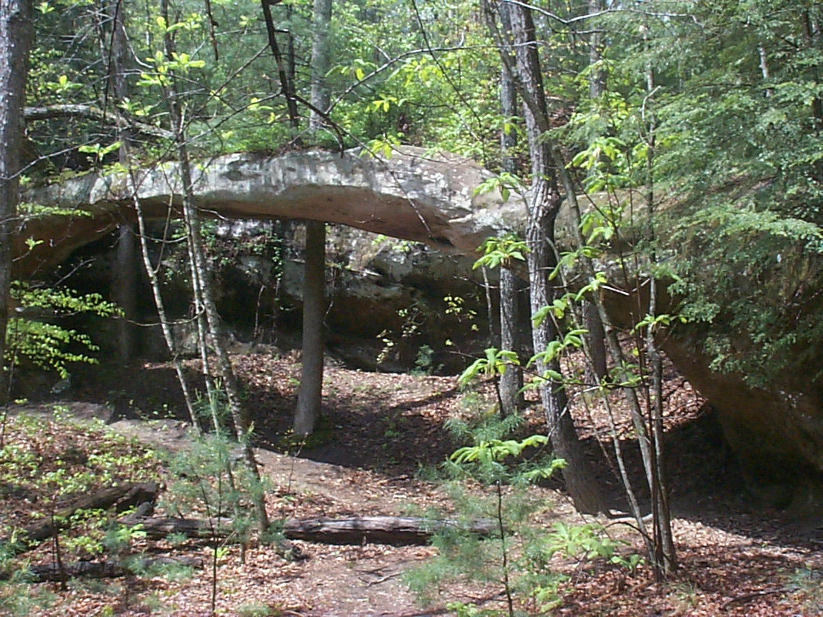
Needle Arch
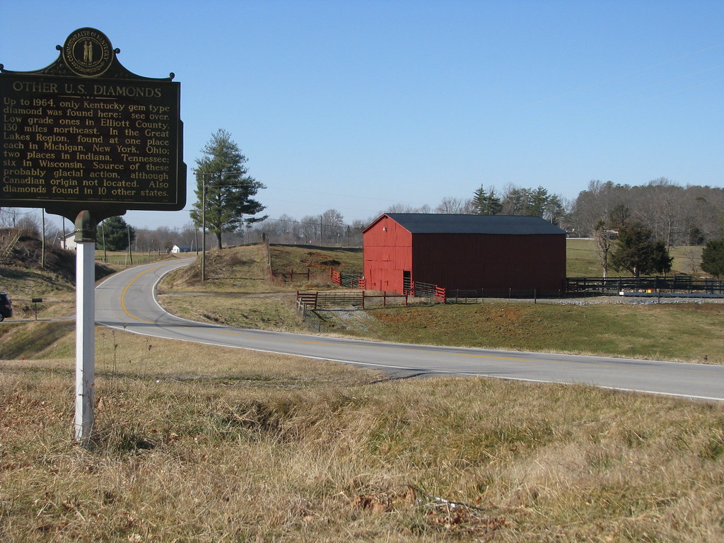
Diamonds in Kentucky
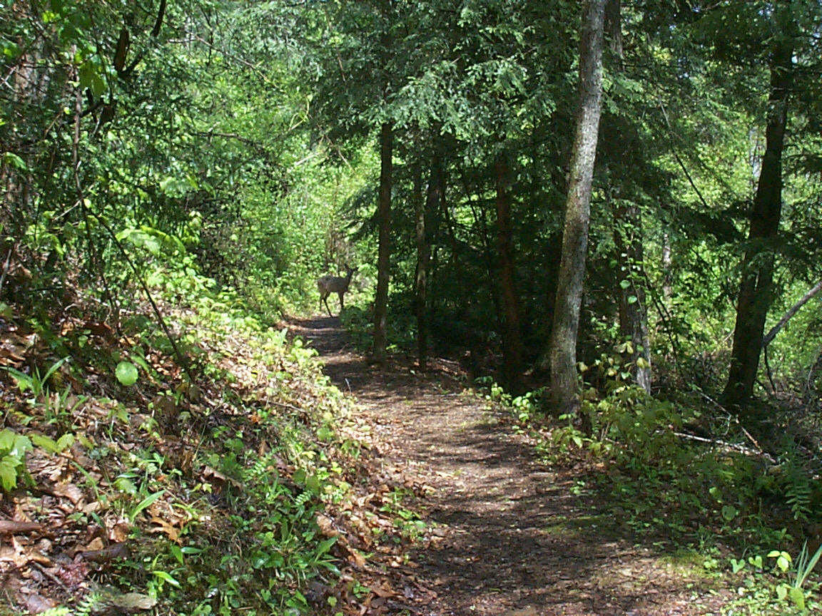
Doe, a Deer
Topographic Map of N Main St, Russell Springs, KY, USA
Find elevation by address:

Places near N Main St, Russell Springs, KY, USA:
1080 N Main St
125 Antle Dr
Jamestown
Russell County
Russell Springs
KY-80, Russell Springs, KY, USA
Mark Bernard Lane
163 Tall Timbers Dr
32 Dockery Rd
KY-55, Jamestown, KY, USA
R Grider Rd, Russell Springs, KY, USA
Russell St, Russell Springs, KY, USA
US-, Russell Springs, KY, USA
KY-, Jamestown, KY, USA
56 Vebb Smith Rd, Russell Springs, KY, USA
2326 Ky-55
State Hwy, Russell Springs, KY, USA
Dickerson Ridge Road
1877 Ky-768
48 Alligator Cove, Russell Springs, KY, USA
Recent Searches:
- Elevation of Côte-des-Neiges, Montreal, QC H4A 3J6, Canada
- Elevation of Bobcat Dr, Helena, MT, USA
- Elevation of Zu den Ihlowbergen, Althüttendorf, Germany
- Elevation of Badaber, Peshawar, Khyber Pakhtunkhwa, Pakistan
- Elevation of SE Heron Loop, Lincoln City, OR, USA
- Elevation of Slanický ostrov, 01 Námestovo, Slovakia
- Elevation of Spaceport America, Co Rd A, Truth or Consequences, NM, USA
- Elevation of Warwick, RI, USA
- Elevation of Fern Rd, Whitmore, CA, USA
- Elevation of 62 Abbey St, Marshfield, MA, USA