Elevation of State Hwy, Russell Springs, KY, USA
Location: United States > Kentucky > Russell County > Russell Springs >
Longitude: -84.961321
Latitude: 37.026358
Elevation: 317m / 1040feet
Barometric Pressure: 98KPa
Elevation Map:
Satellite Map:
Related Photos:

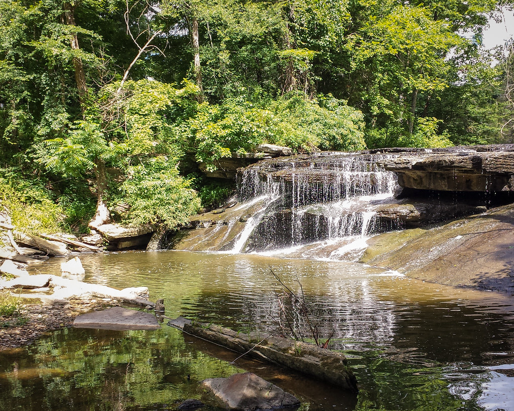
_MG_1524_edited-1
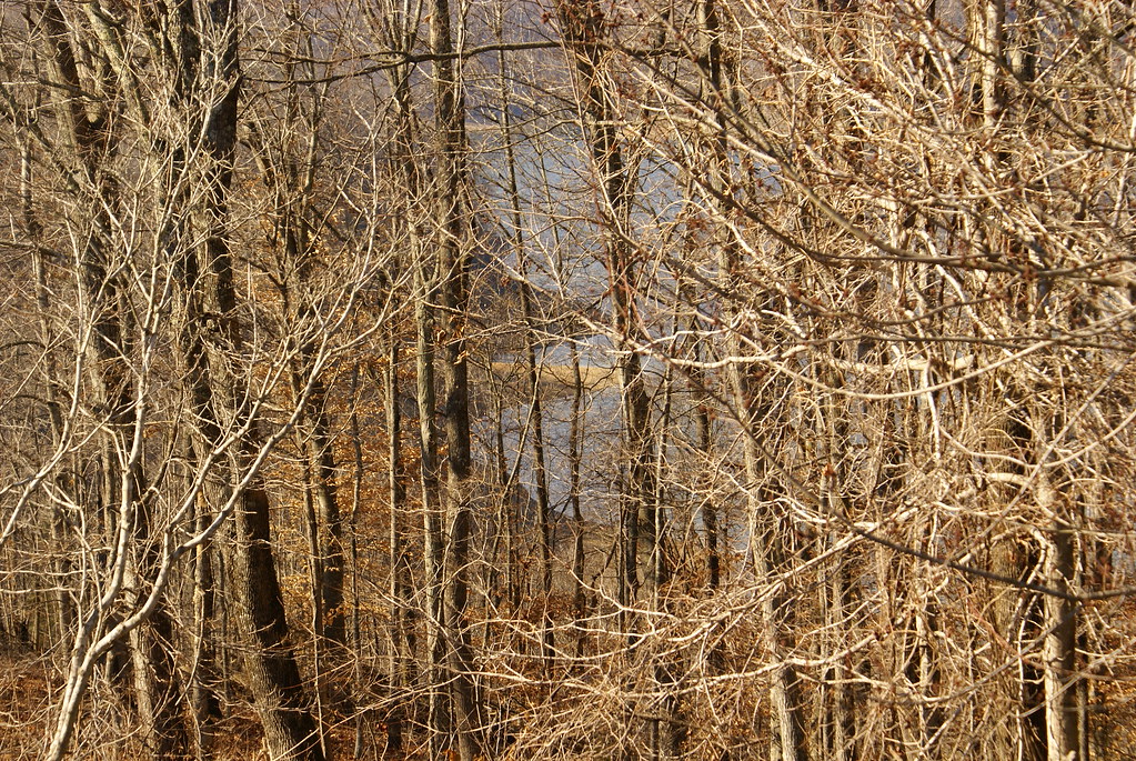
View of Lake Cumberland

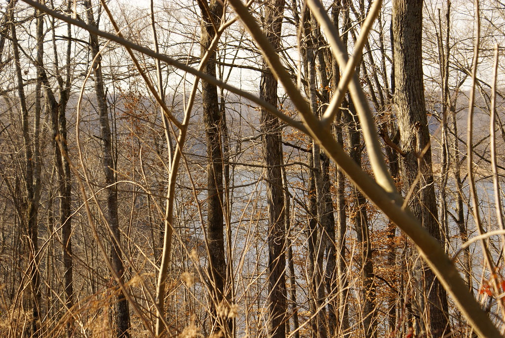
View of Lake Cumberland

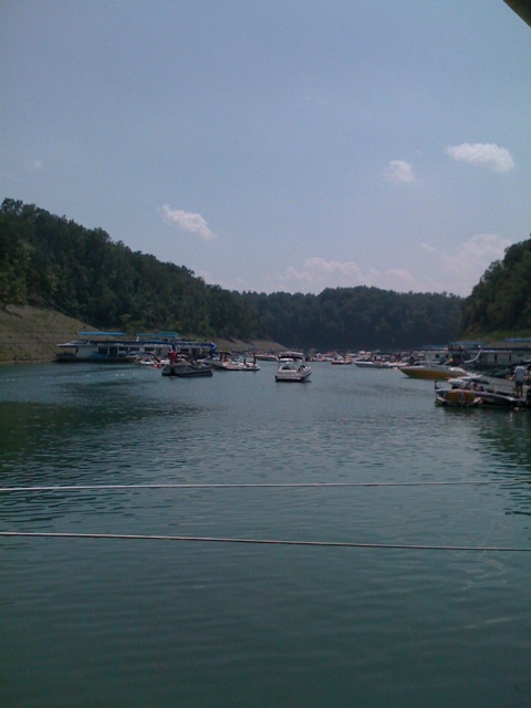
Cumberland Lake
Storm's-a-brewin'
Bye bye Lake Cumberland
Lake Cumberland Lodge
Wild Kentucky

Lake Cumberland Sunset
Lake Cumberland
Lake Cumberland

Eadsville, Aug 2, 2008
Eadsville, Aug 2, 2008
Topographic Map of State Hwy, Russell Springs, KY, USA
Find elevation by address:

Places near State Hwy, Russell Springs, KY, USA:
56 Vebb Smith Rd, Russell Springs, KY, USA
32 Dockery Rd
48 Alligator Cove, Russell Springs, KY, USA
163 Tall Timbers Dr
Jamestown
Windsor
Basil Roy Spur Rd, Windsor, KY, USA
Russell County
1080 N Main St
125 Antle Dr
N Main St, Russell Springs, KY, USA
Mark Bernard Lane
US-, Russell Springs, KY, USA
Russell St, Russell Springs, KY, USA
Russell Springs
Dickerson Ridge Road
KY-80, Russell Springs, KY, USA
KY-55, Jamestown, KY, USA
15 Dawn Ct
Old Mill Springs Rd, Monticello, KY, USA
Recent Searches:
- Elevation of Tenjo, Cundinamarca, Colombia
- Elevation of Côte-des-Neiges, Montreal, QC H4A 3J6, Canada
- Elevation of Bobcat Dr, Helena, MT, USA
- Elevation of Zu den Ihlowbergen, Althüttendorf, Germany
- Elevation of Badaber, Peshawar, Khyber Pakhtunkhwa, Pakistan
- Elevation of SE Heron Loop, Lincoln City, OR, USA
- Elevation of Slanický ostrov, 01 Námestovo, Slovakia
- Elevation of Spaceport America, Co Rd A, Truth or Consequences, NM, USA
- Elevation of Warwick, RI, USA
- Elevation of Fern Rd, Whitmore, CA, USA