Elevation of R Grider Rd, Russell Springs, KY, USA
Location: United States > Kentucky > Russell County > Russell Springs >
Longitude: -85.166735
Latitude: 37.0715245
Elevation: 299m / 981feet
Barometric Pressure: 98KPa
Elevation Map:
Satellite Map:
Related Photos:

Drove out to Columbia, Ky and had a fabulous engagement session with Alayna and Tyler. They also had a pretty epic view of the sunset!! #engaged #engagement #engagementphotos #instapic #instalove #gettingmarried #couple #love #picoftheday #photooftheday #
View from here.
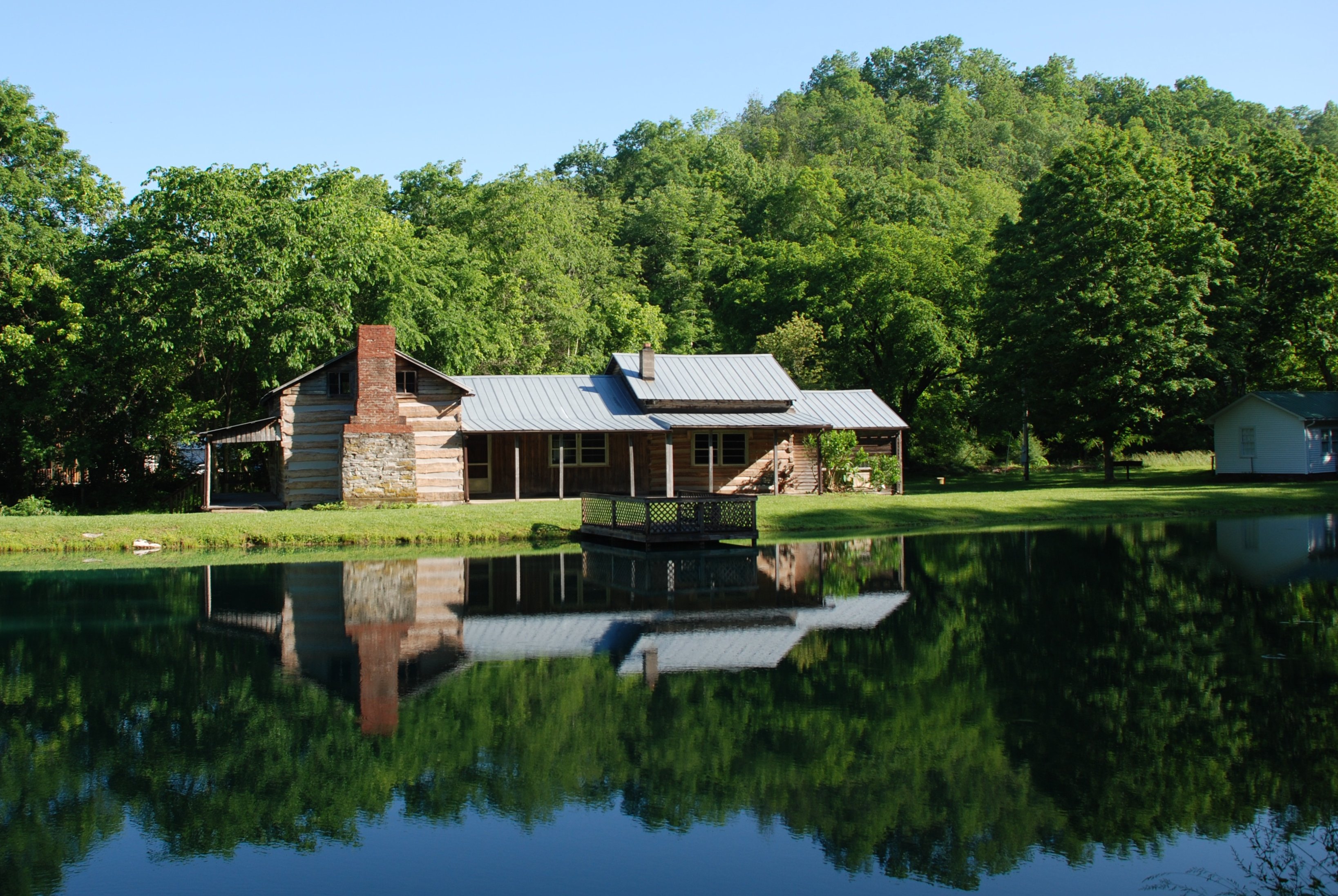
Janice Holt Giles Restored Home

_MG_1524_edited-1
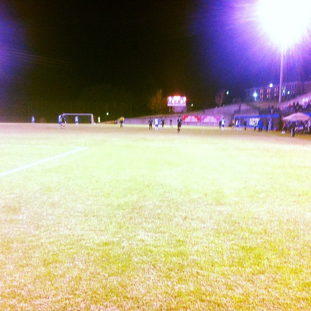
@LWCAthletics men's #soccer in @MidSouthSports semis. @Play_NAIA

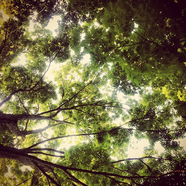
Far Away in Tucker Woods
Wild Kentucky
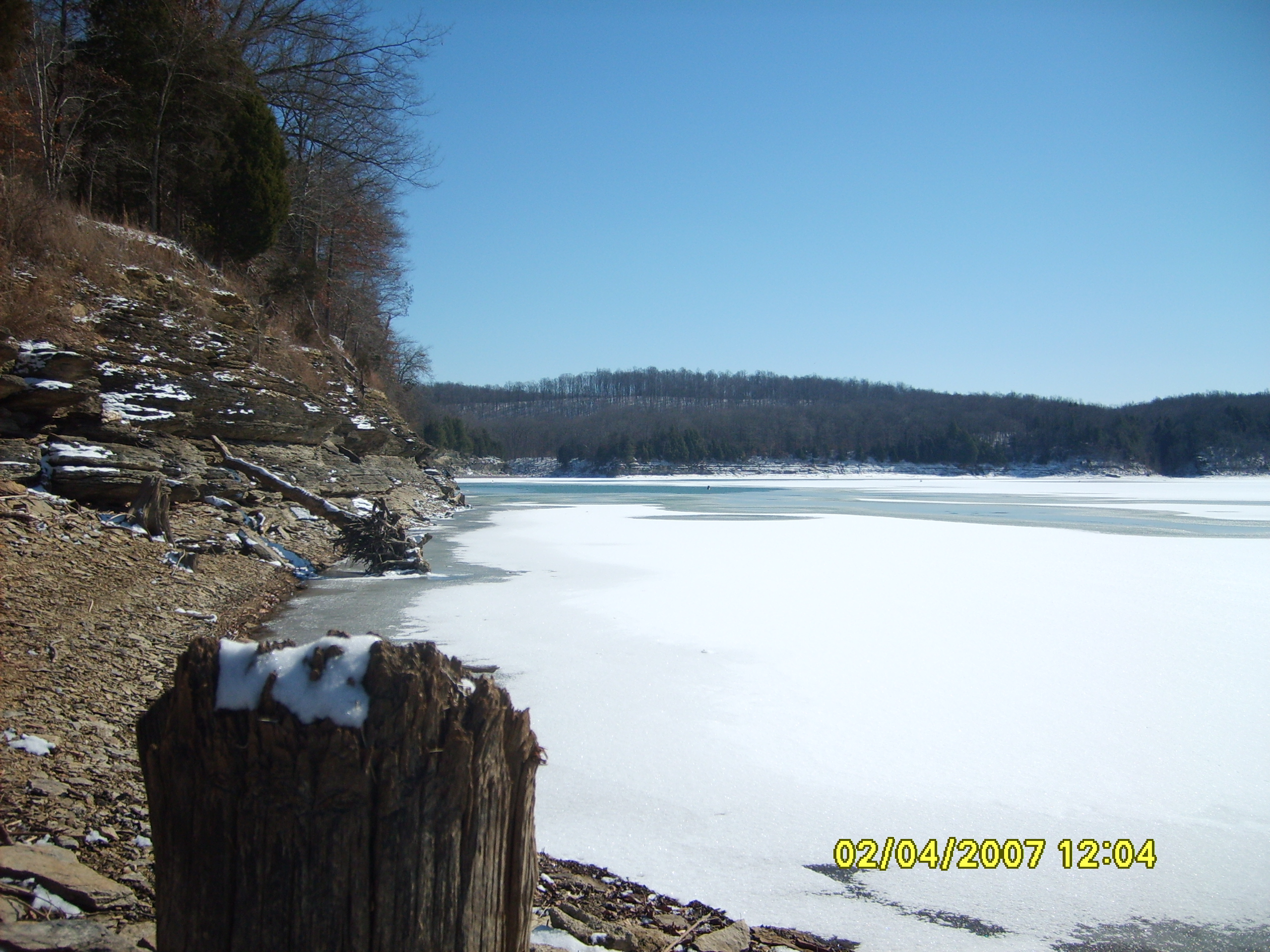
Frozen Lake
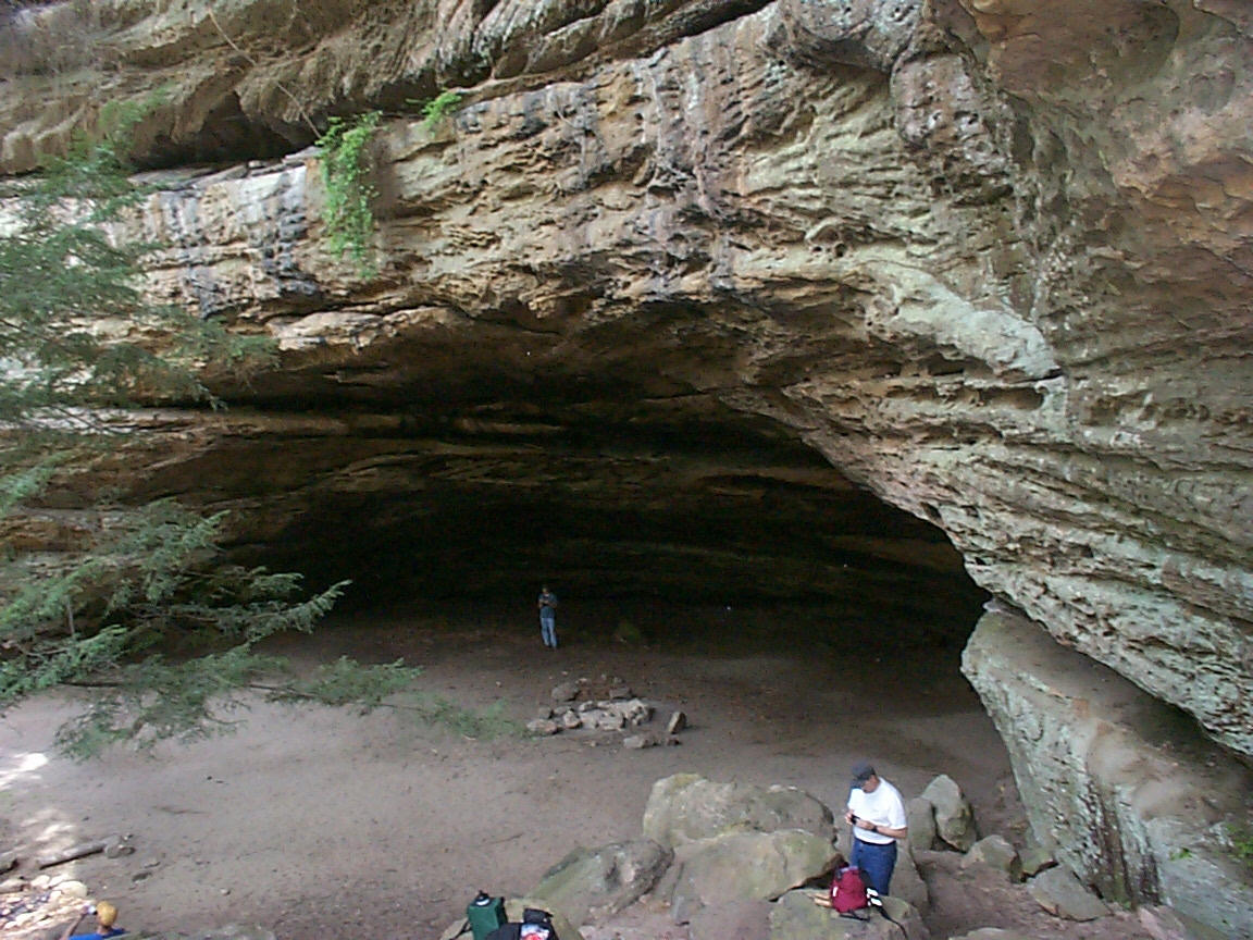
Indian Rock House
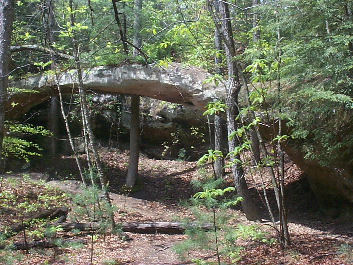
Needle Arch
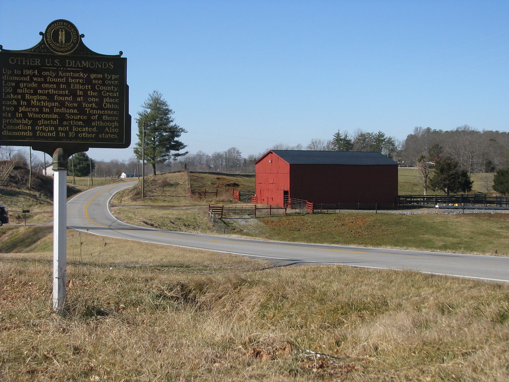
Diamonds in Kentucky
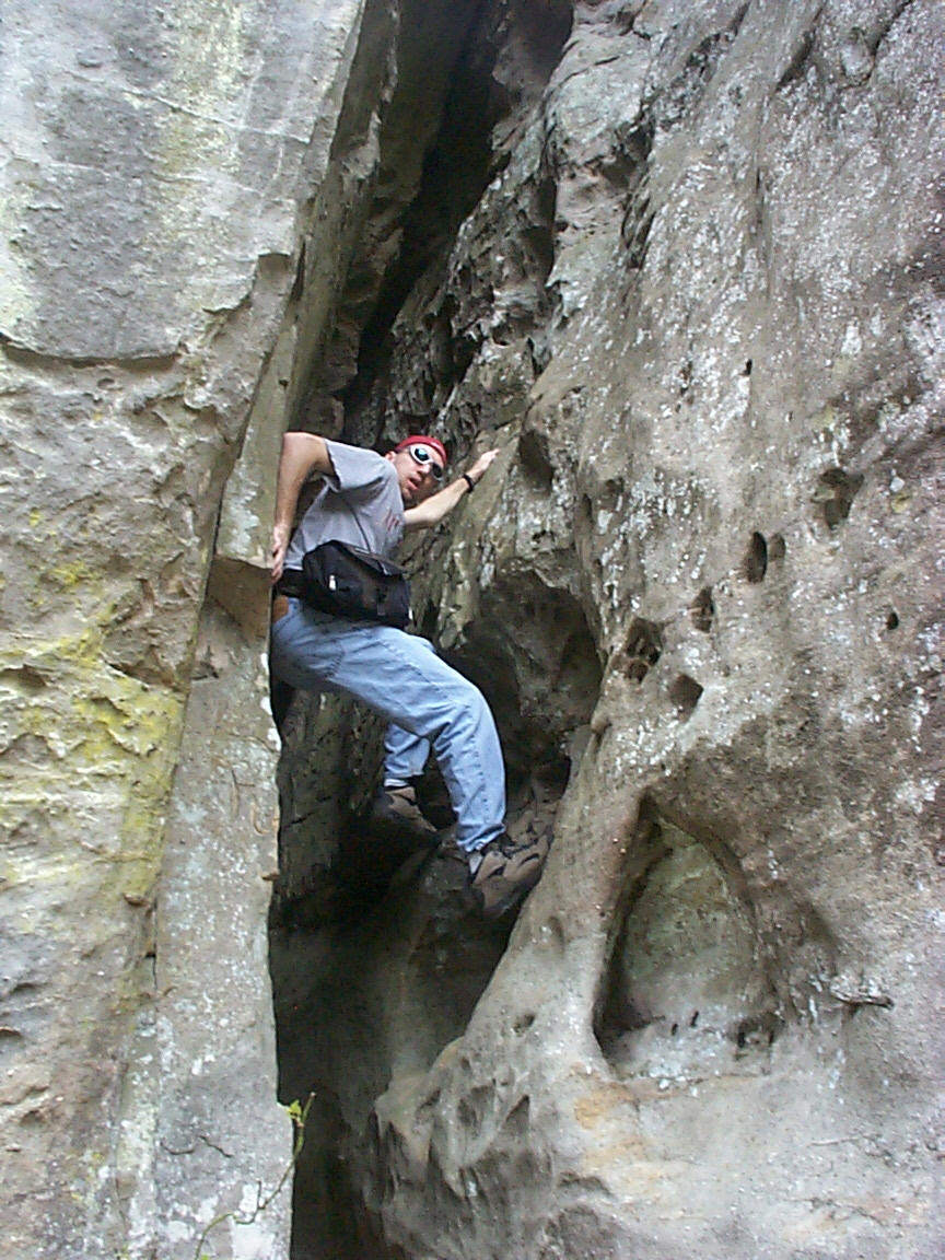
Scaling a cliff
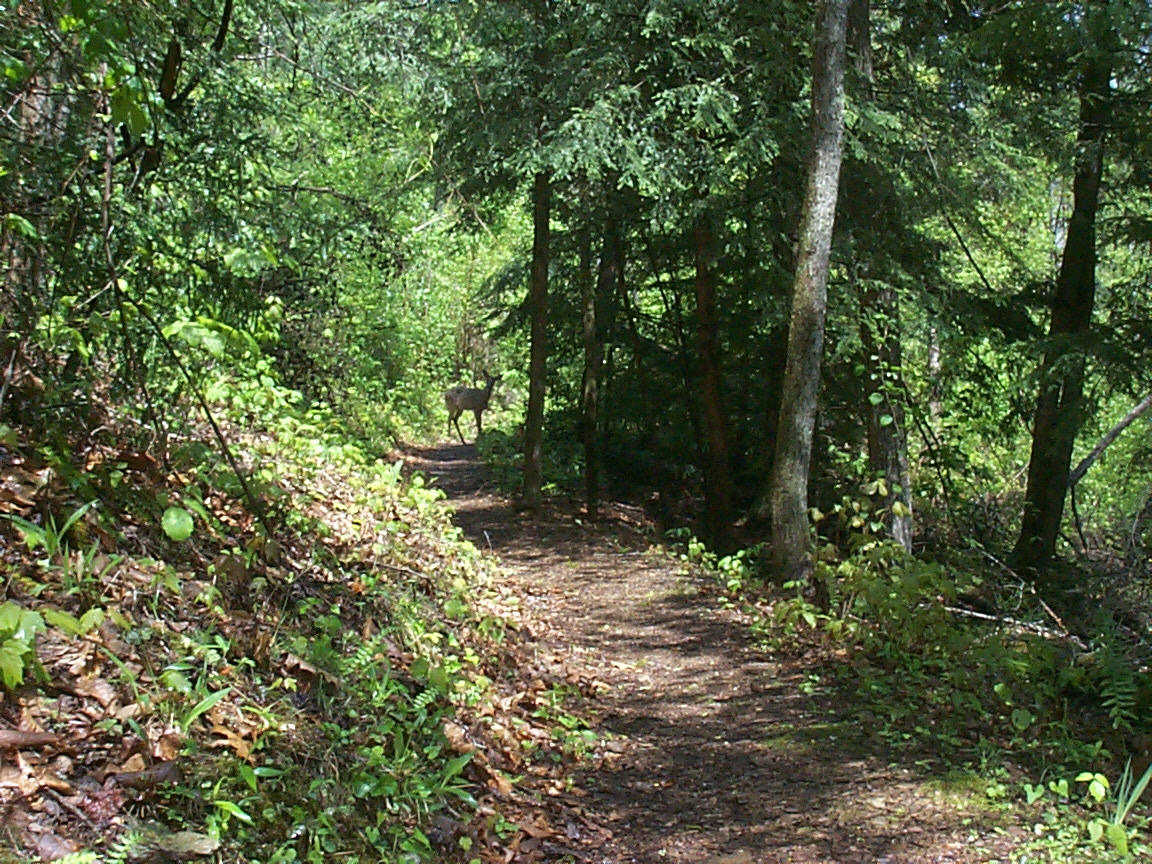
Doe, a Deer
Topographic Map of R Grider Rd, Russell Springs, KY, USA
Find elevation by address:

Places near R Grider Rd, Russell Springs, KY, USA:
KY-80, Russell Springs, KY, USA
Taylor Ford Road
1877 Ky-768
Montpelier Rd, Columbia, KY, USA
Russell Springs
Mark Bernard Lane
N Main St, Russell Springs, KY, USA
946 Old Glensfork Rd
1080 N Main St
KY-, Jamestown, KY, USA
125 Antle Dr
Russell St, Russell Springs, KY, USA
US-, Russell Springs, KY, USA
Jamestown
1135 Crocus Rd
Russell County
Public Square, Columbia, KY, USA
Columbia
Acapulco Mexican Grill #2
2326 Ky-55
Recent Searches:
- Elevation of Norfolk, NY, USA
- Elevation of - San Marcos Pass Rd, Santa Barbara, CA, USA
- Elevation of th Pl SE, Issaquah, WA, USA
- Elevation of 82- D Rd, Captain Cook, HI, USA
- Elevation of Harlow CM20 2PR, UK
- Elevation of Shenyang Agricultural University, Dong Ling Lu, Shen He Qu, Shen Yang Shi, Liao Ning Sheng, China
- Elevation of Alpha Dr, Melbourne, FL, USA
- Elevation of Hiroshima University, 1-chōme-3-2 Kagamiyama, Higashihiroshima, Hiroshima -, Japan
- Elevation of Bernina Dr, Lake Arrowhead, CA, USA
- Elevation of N 82nd Pl, Mesa, AZ, USA