Elevation of 86 Pine St, Monticello, KY, USA
Location: United States > Kentucky > Wayne County > Monticello >
Longitude: -84.836629
Latitude: 36.8347066
Elevation: 292m / 958feet
Barometric Pressure: 98KPa
Elevation Map:
Satellite Map:
Related Photos:

SP37_0002.JPG
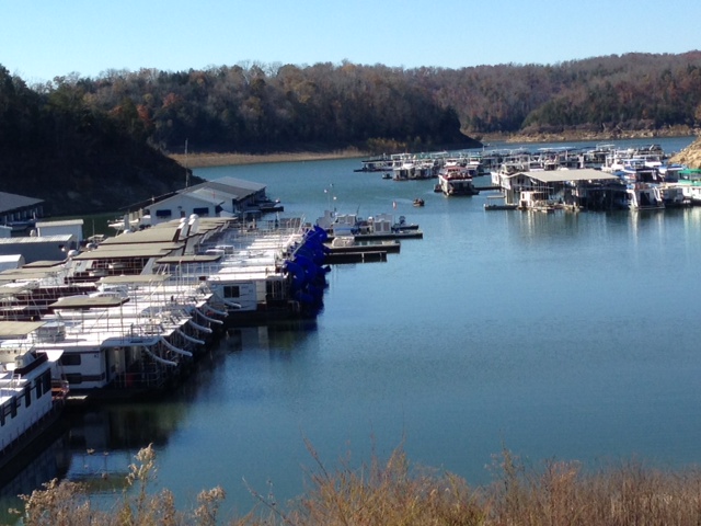
Harbor View

104-0414_IMG

Rushing waters

As the lake dries up at 76 Falls

Mill Springs Mill

Mill Springs Falls, Kentucky

Sunset on Pier 9 (I)

134-3463_IMG

146-4636_IMG

104-0420_IMG

2012-07-07 12.40.14.jpg

145-4566_IMG
SP37_0006.JPG

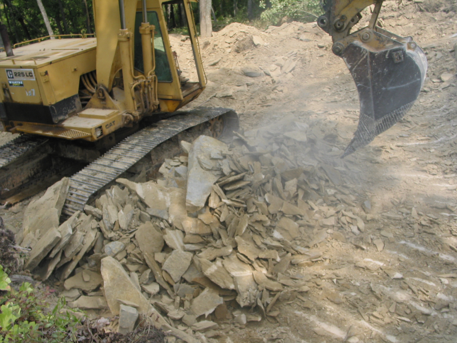
2010-11-15_Sandstone005

2010-11-15_Sandstone003

Mill Springs Mill

Mill Springs Mill

Mill Springs Mill

Mill Springs Mill
Topographic Map of 86 Pine St, Monticello, KY, USA
Find elevation by address:

Places near 86 Pine St, Monticello, KY, USA:
Monticello
15 Dawn Ct
State Hwy, Monticello, KY, USA
Burnett Hollow Rd, Monticello, KY, USA
Wayne County
Sloan Hollow Rd, Monticello, KY, USA
Old Mill Springs Rd, Monticello, KY, USA
Ky-, Monticello, KY, USA
KY-90, Monticello, KY, USA
Ky-, Monticello, KY, USA
Jennings Hollow Road
48 Alligator Cove, Russell Springs, KY, USA
235 Taylor Cir
Lizzie Sharp Road
165 Lake Walk Dr
166 Lake Walk Dr
163 Lake Walk Dr
145 Lake Walk Dr
Kentucky 90
95 Ky-, Monticello, KY, USA
Recent Searches:
- Elevation of Beall Road, Beall Rd, Florida, USA
- Elevation of Leguwa, Nepal
- Elevation of County Rd, Enterprise, AL, USA
- Elevation of Kolchuginsky District, Vladimir Oblast, Russia
- Elevation of Shustino, Vladimir Oblast, Russia
- Elevation of Lampiasi St, Sarasota, FL, USA
- Elevation of Elwyn Dr, Roanoke Rapids, NC, USA
- Elevation of Congressional Dr, Stevensville, MD, USA
- Elevation of Bellview Rd, McLean, VA, USA
- Elevation of Stage Island Rd, Chatham, MA, USA