Elevation of State Hwy, Monticello, KY, USA
Location: United States > Kentucky > Wayne County > Monticello >
Longitude: -84.842845
Latitude: 36.763831
Elevation: 325m / 1066feet
Barometric Pressure: 97KPa
Elevation Map:
Satellite Map:
Related Photos:
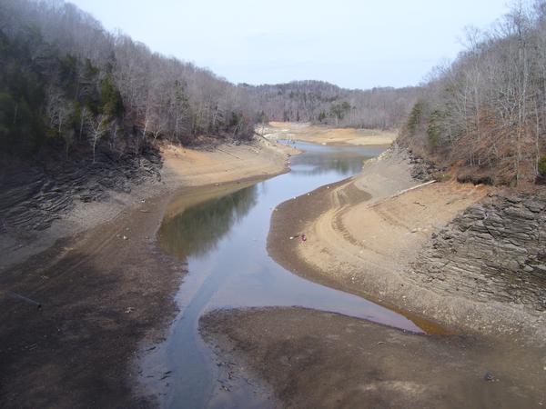
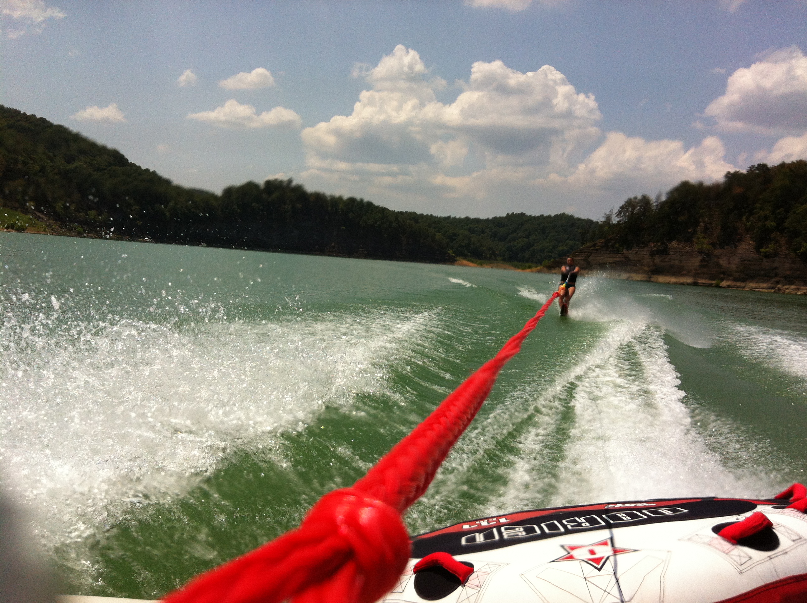
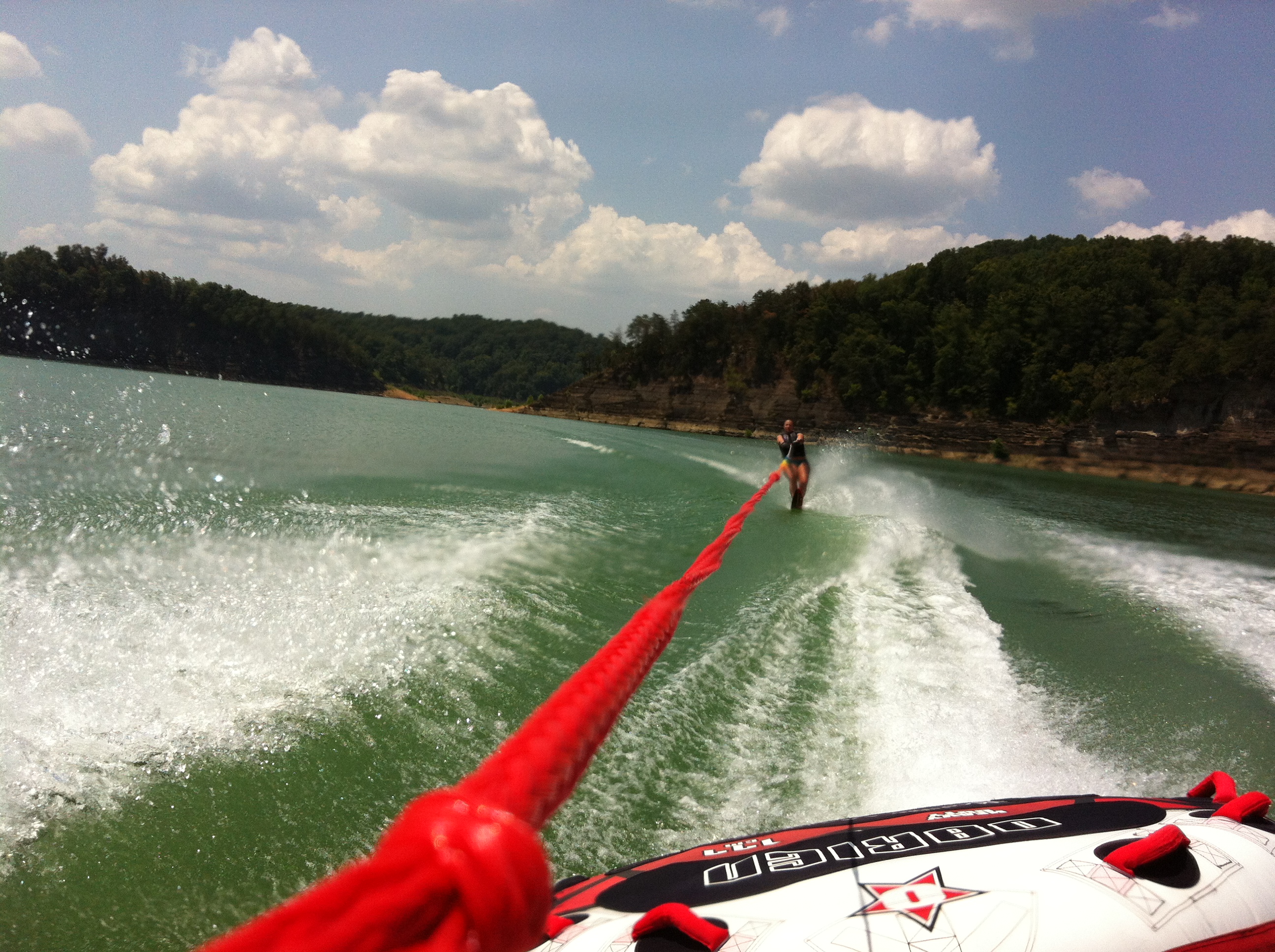
As the lake dries up at 76 Falls

2012-07-07 12.40.14.jpg

146-4636_IMG

134-3463_IMG

Post Office 42603 (Alpha, Kentucky)
Amélie -

Amélie -
Amélie -
Amélie -

Amélie -

2012-07-07 12.40.21.jpg
2012-07-07 12.40.52.jpg
2012-07-07 12.40.55.jpg

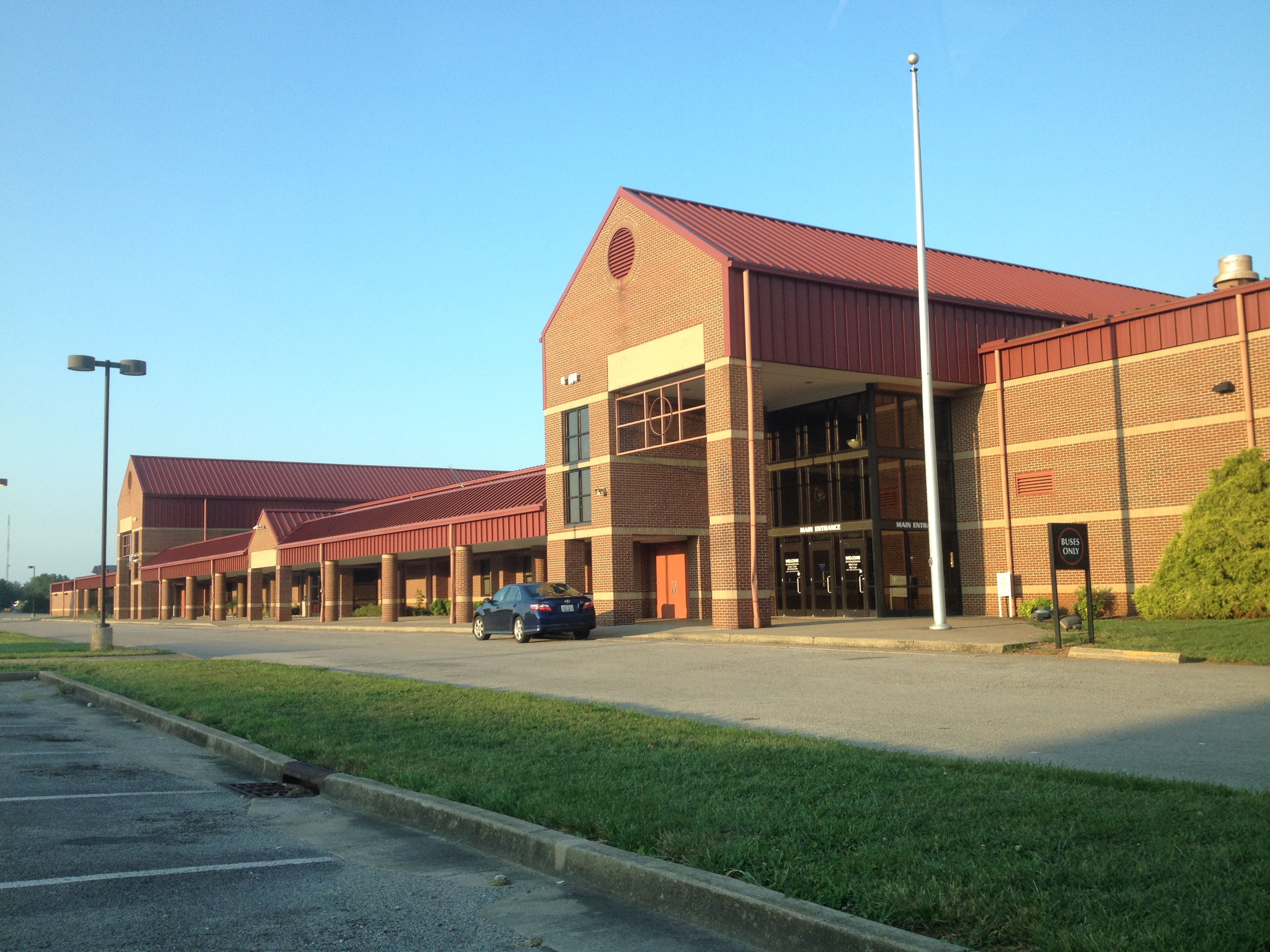
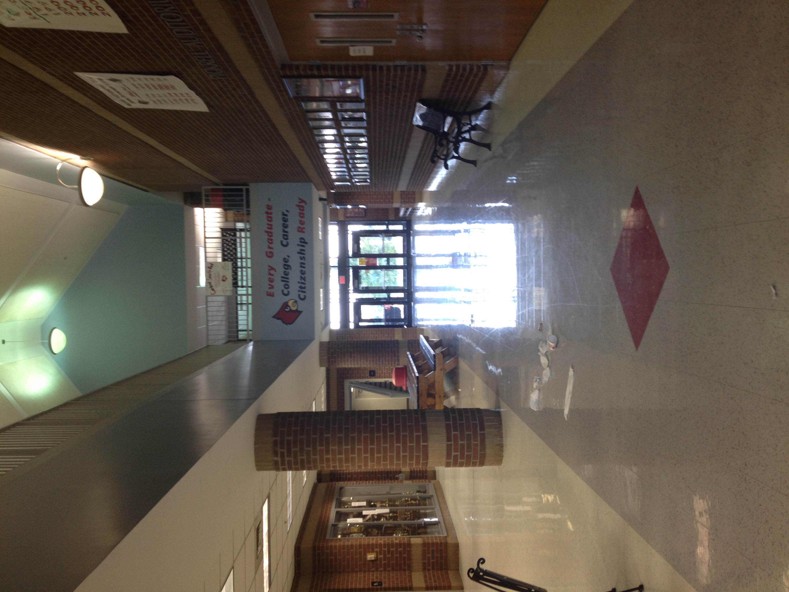
120217_BasketballatWayneCounty_071.jpg

120217_BasketballatWayneCounty_065.jpg

120217_BasketballatWayneCounty_028.jpg

120217_BasketballatWayneCounty_025.jpg
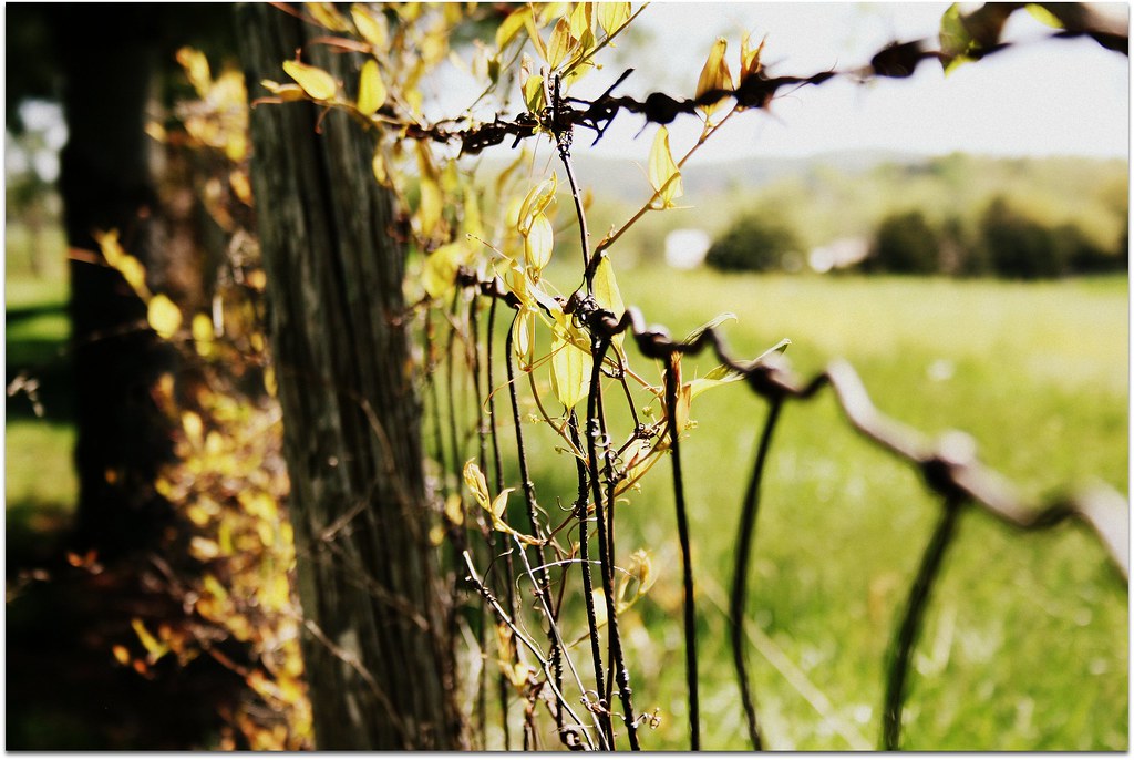
(rural) Fence Friday

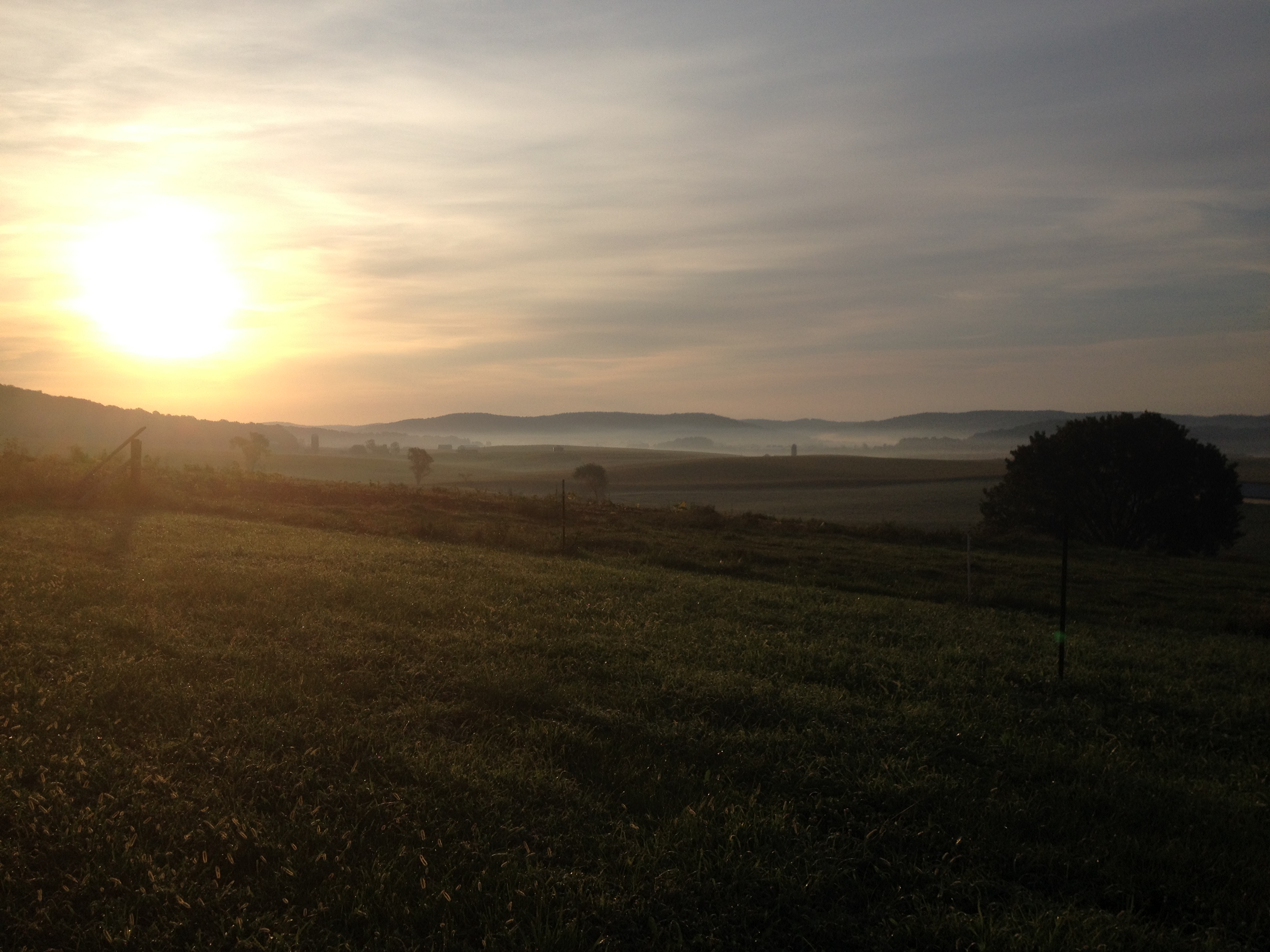
Triumph of the corn
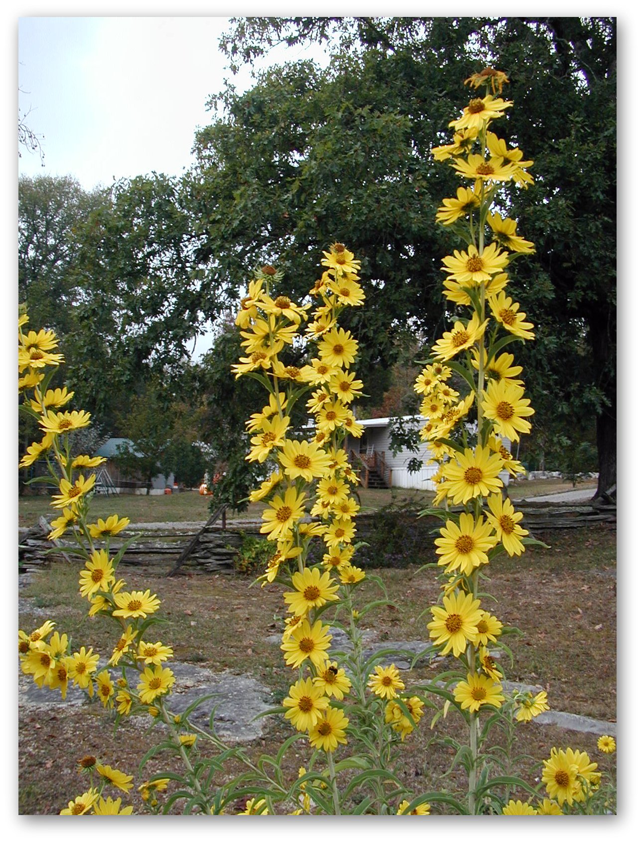
Kentucky flora

Monticello Kentucky, Wayne County KY
Topographic Map of State Hwy, Monticello, KY, USA
Find elevation by address:

Places near State Hwy, Monticello, KY, USA:
Wayne County
Burnett Hollow Rd, Monticello, KY, USA
Monticello
86 Pine St
KY-90, Monticello, KY, USA
15 Dawn Ct
Ky-, Monticello, KY, USA
Ky-, Monticello, KY, USA
Jennings Hollow Road
Lizzie Sharp Road
Lizzie Sharp
Sloan Hollow Rd, Monticello, KY, USA
95 Ky-, Monticello, KY, USA
Old Mill Springs Rd, Monticello, KY, USA
Ky-, Monticello, KY, USA
Kentucky 90
State Hwy, Albany, KY, USA
Crabtree Rd, Pall Mall, TN, USA
48 Alligator Cove, Russell Springs, KY, USA
State Hwy, Albany, KY, USA
Recent Searches:
- Elevation of Chesaw Rd, Oroville, WA, USA
- Elevation of N, Mt Pleasant, UT, USA
- Elevation of 6 Rue Jules Ferry, Beausoleil, France
- Elevation of Sattva Horizon, 4JC6+G9P, Vinayak Nagar, Kattigenahalli, Bengaluru, Karnataka, India
- Elevation of Great Brook Sports, Gold Star Hwy, Groton, CT, USA
- Elevation of 10 Mountain Laurels Dr, Nashua, NH, USA
- Elevation of 16 Gilboa Ln, Nashua, NH, USA
- Elevation of Laurel Rd, Townsend, TN, USA
- Elevation of 3 Nestling Wood Dr, Long Valley, NJ, USA
- Elevation of Ilungu, Tanzania