Elevation of Ky-, Monticello, KY, USA
Location: United States > Kentucky > Wayne County > Monticello >
Longitude: -84.985633
Latitude: 36.6358246
Elevation: 365m / 1198feet
Barometric Pressure: 97KPa
Elevation Map:
Satellite Map:
Related Photos:
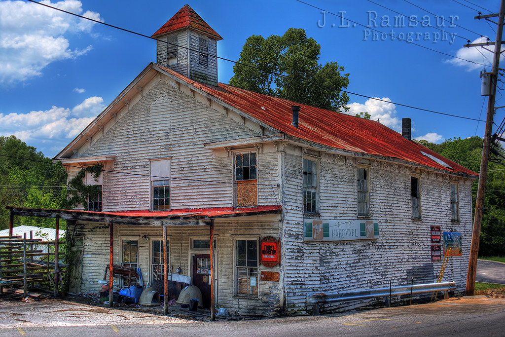
Crouch's Hardware - Byrdstown, TN

Pickett County, TN Courthouse - Byrdstown, TN
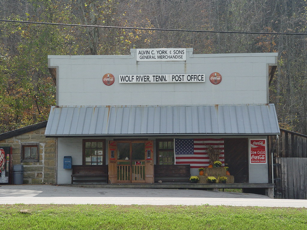
THE YORK GENERAL STORE
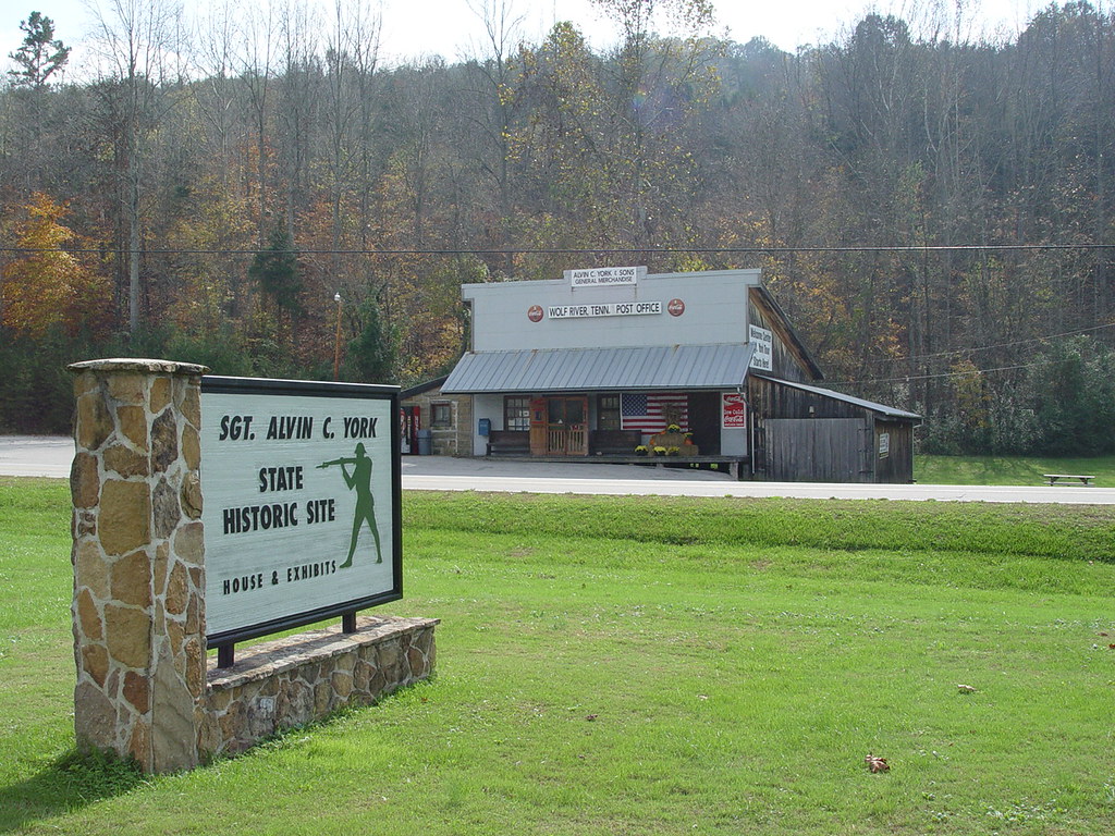
SGT. YORK HISTORIC SITE
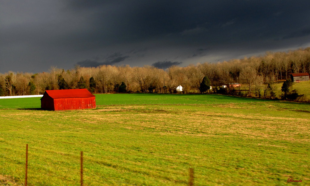
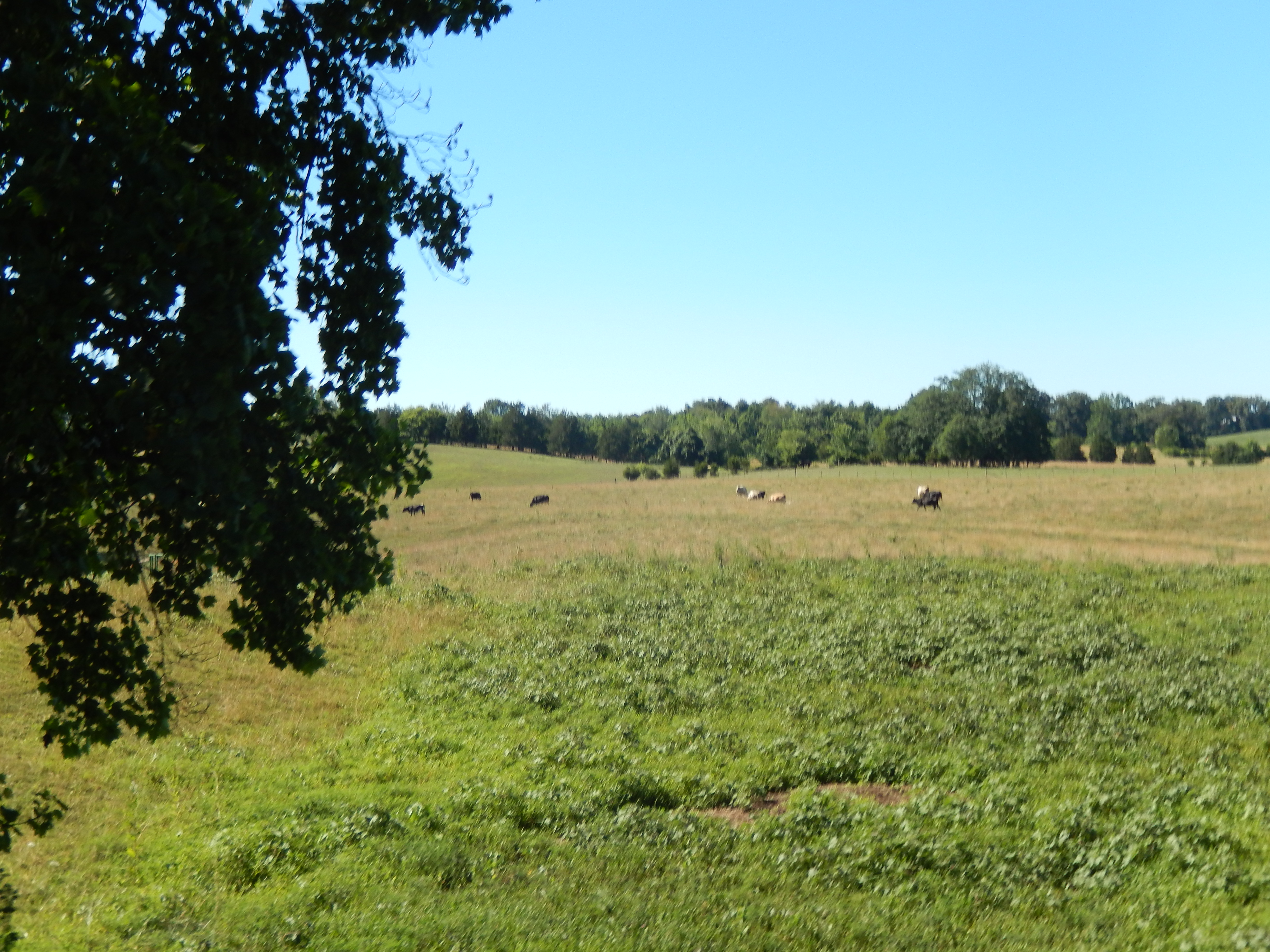
A Storm Is Brewing

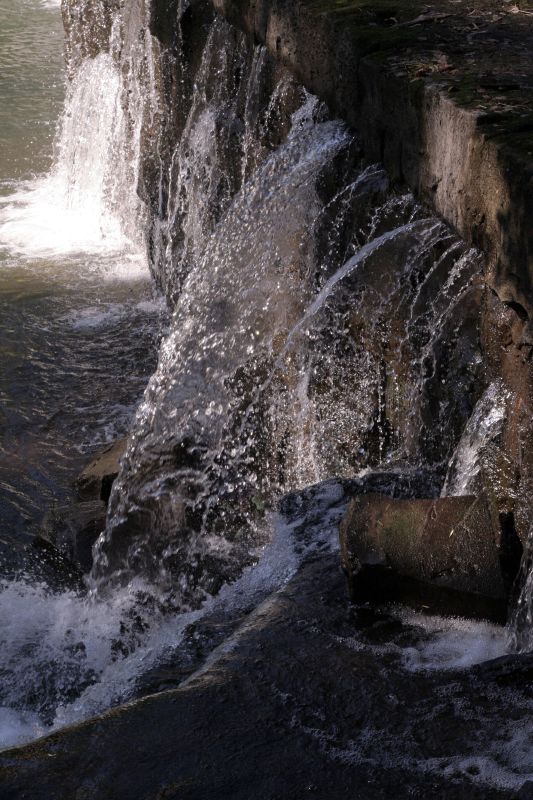
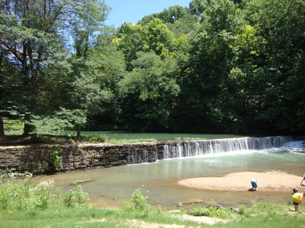
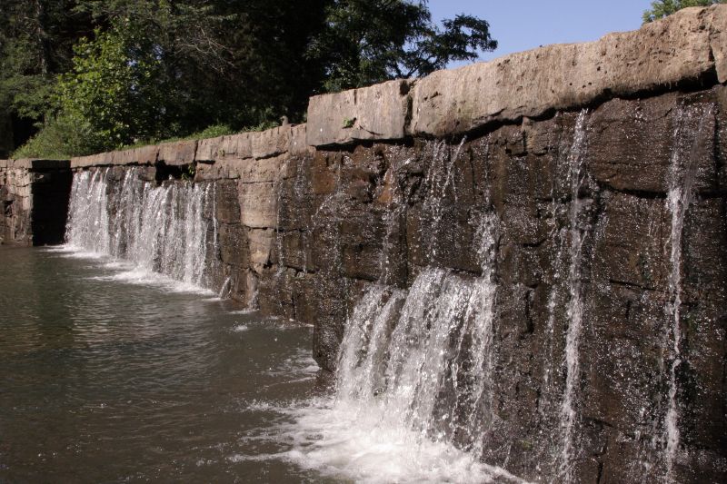
Alvin C York Dam
Pictures 2014 063
On my lunchbreak... 76 Falls #kentucky #nature #lunchbreak #waterfalls
York Grist Mill 075
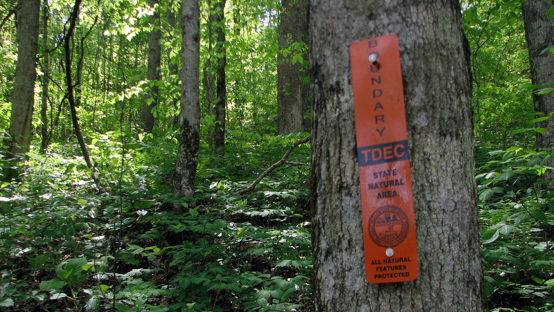
Natural Area
Sargent Alvin C. York State Historic Site (Pall Mall, Tennessee)
York Grist Mill 084
CLIFFS OF THE WOLF RIVER VALLEY
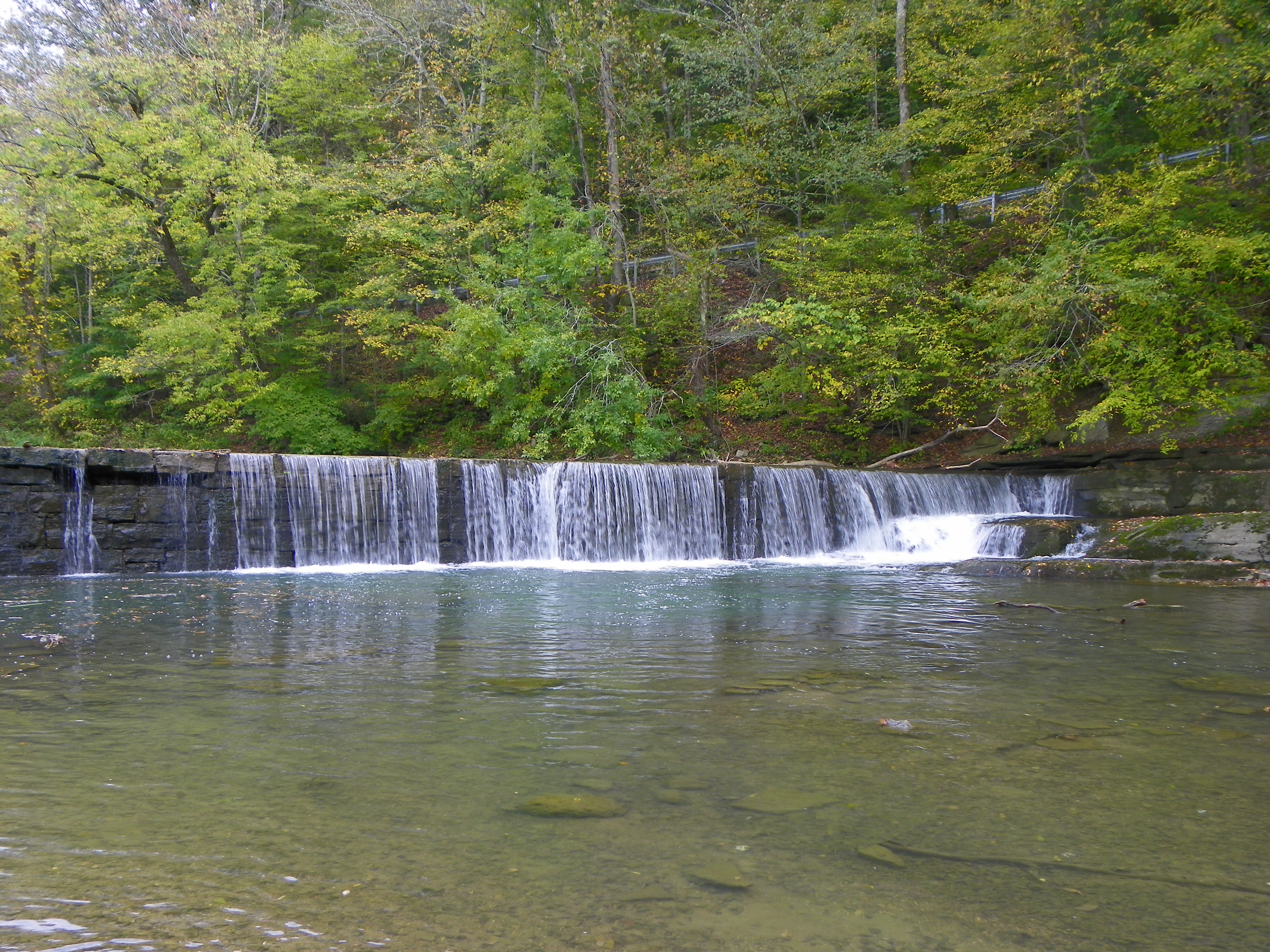
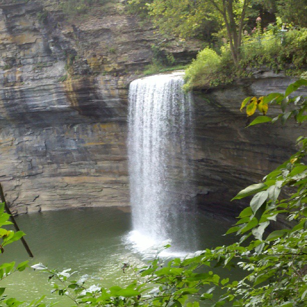
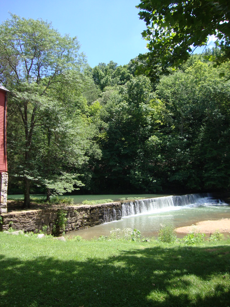
Wolf Creek Falls at the York Grist Mill
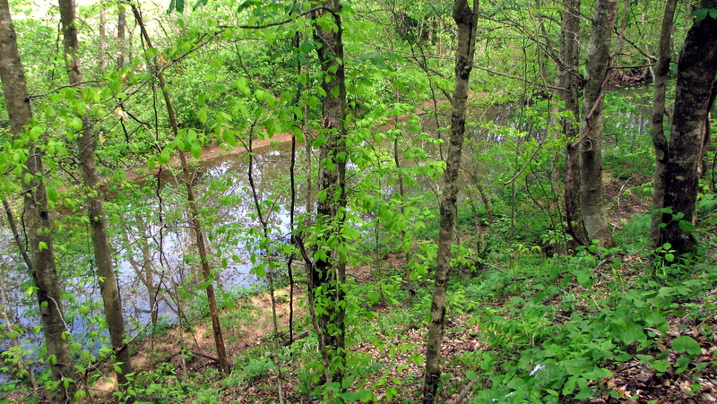
Pogue Creek
Sargent Alvin C. York State Historic Site (Pall Mall, Tennessee)
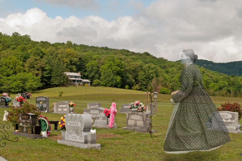
Pall Mall TN Woman
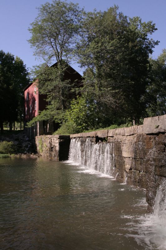
York Grist Mill 087
Topographic Map of Ky-, Monticello, KY, USA
Find elevation by address:

Places near Ky-, Monticello, KY, USA:
95 Ky-, Monticello, KY, USA
Crabtree Rd, Pall Mall, TN, USA
N York Hwy, Pall Mall, TN, USA
2609 N York Hwy
Jennings Hollow Road
N York Hwy, Byrdstown, TN, USA
Ky-, Monticello, KY, USA
Red Hill Rd, Byrdstown, TN, USA
Kentucky 90
KY-90, Monticello, KY, USA
Greenbrier Rd, Byrdstown, TN, USA
Byrdstown
918 Rainbow Dr
Lizzie Sharp
105 S Main St
Albany
1016 Woodlawn Dr
1109 Olympus Dr
Lizzie Sharp Road
State Hwy, Albany, KY, USA
Recent Searches:
- Elevation of 6 Rue Jules Ferry, Beausoleil, France
- Elevation of Sattva Horizon, 4JC6+G9P, Vinayak Nagar, Kattigenahalli, Bengaluru, Karnataka, India
- Elevation of Great Brook Sports, Gold Star Hwy, Groton, CT, USA
- Elevation of 10 Mountain Laurels Dr, Nashua, NH, USA
- Elevation of 16 Gilboa Ln, Nashua, NH, USA
- Elevation of Laurel Rd, Townsend, TN, USA
- Elevation of 3 Nestling Wood Dr, Long Valley, NJ, USA
- Elevation of Ilungu, Tanzania
- Elevation of Yellow Springs Road, Yellow Springs Rd, Chester Springs, PA, USA
- Elevation of Rēzekne Municipality, Latvia