Elevation of Lake Sherry Homes Drive, Lake Sherry Homes Dr, Washington, USA
Location: United States > Washington > Colville >
Longitude: -117.54641
Latitude: 48.6100546
Elevation: -10000m / -32808feet
Barometric Pressure: 295KPa
Elevation Map:
Satellite Map:
Related Photos:

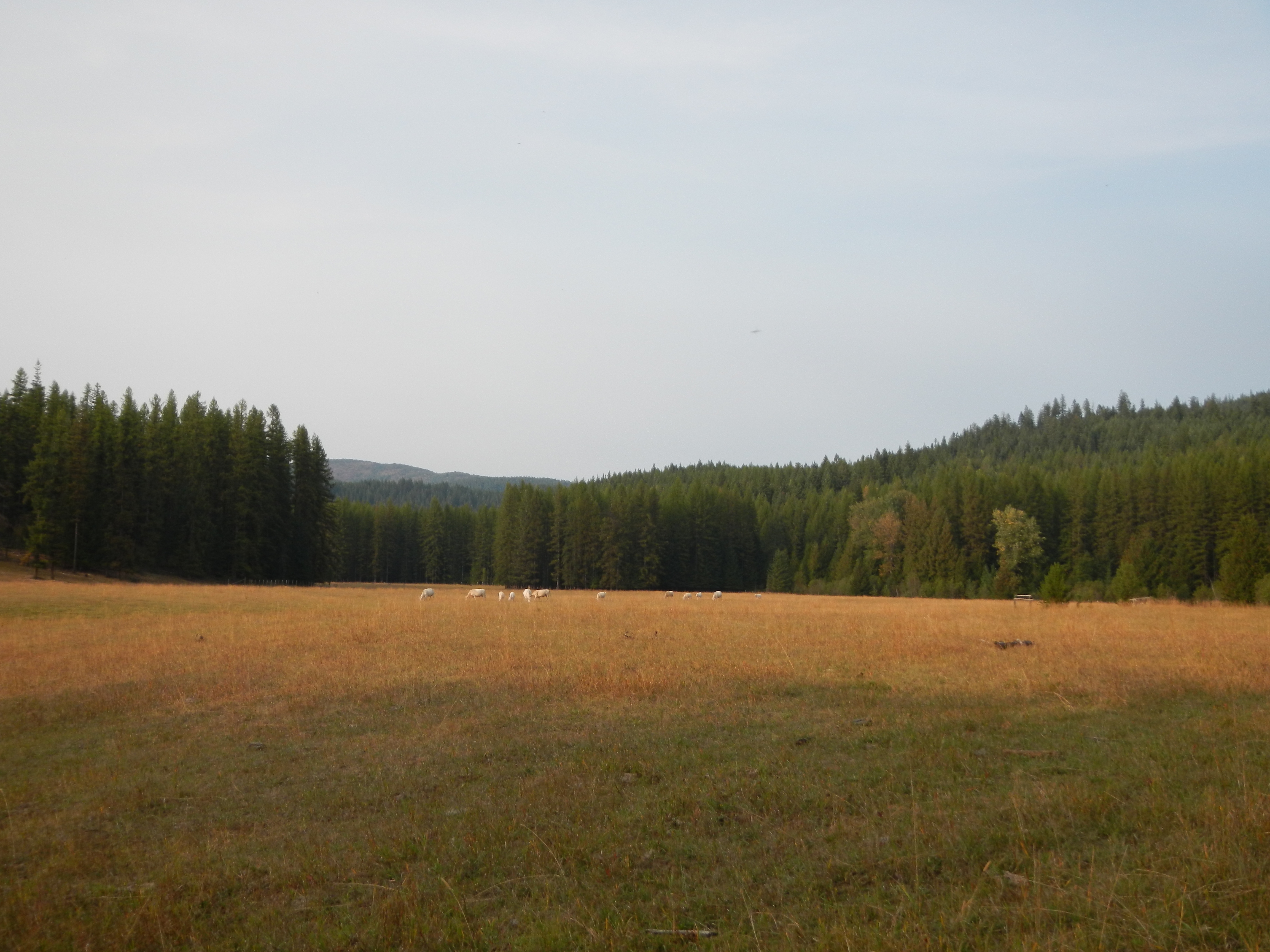
Meadow view with Reg and Clay

Valley view

Original Spans (Vintage Edition)

nature shots (41)

nature shots (40)

Common Mergansers. Pend Oreille River (12)

Common Mergansers. Pend Oreille River (6)

Lake Leo- Colville National Forest- Pend Oreille County WA (2)

Crystal Falls- Stevens County WA (3)
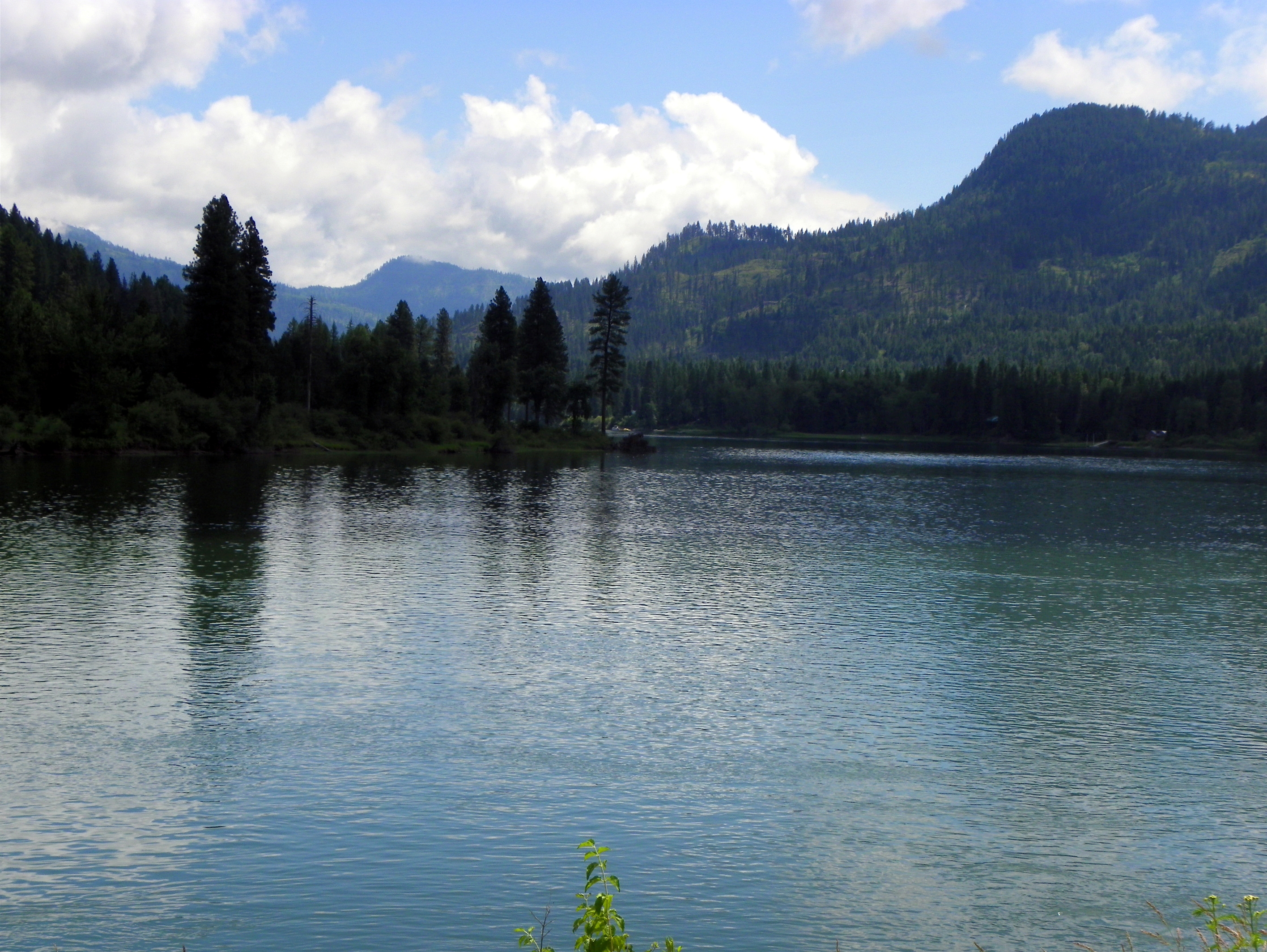
Pend Oreille River

Autumn in Pend Oreille County

Pend Oreille River

Towards New Heights

Lake Gillette

Crystal Falls
Meadow at "Not a Cabin" cache
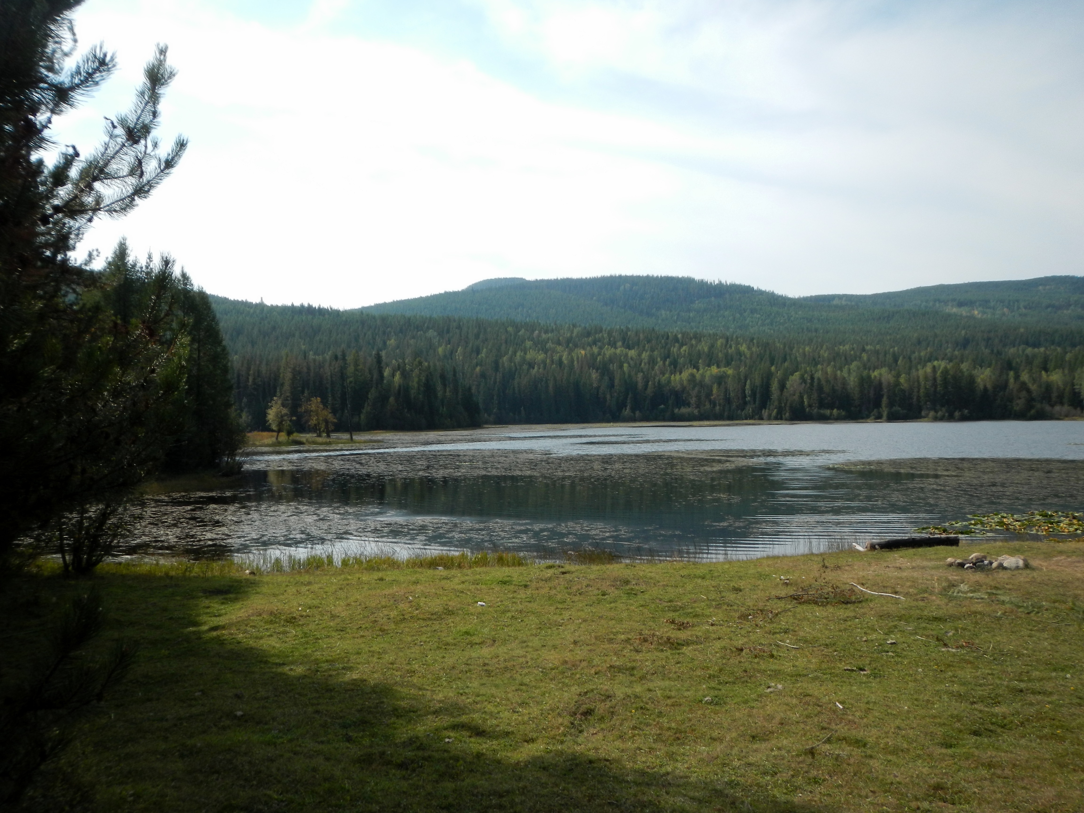
Big Meadow Lake

Simply Sophisticated: Unveiling Crystal Falls (Part 5)

...Over the Railroad Trestle

Toasting toes, drinking beer, telling tall tales

Entering Your Destiny

2016.05.28 - Northeast Washington

Crystal Falls
Topographic Map of Lake Sherry Homes Drive, Lake Sherry Homes Dr, Washington, USA
Find elevation by address:

Places near Lake Sherry Homes Drive, Lake Sherry Homes Dr, Washington, USA:
2447 Wa-20
Nat for Dev Rd, Ione, WA, USA
Northstar Road
Cedar Creek Road
Ione
2268 Aladdin Rd
WA-20, Cusick, WA, USA
957 Kitt-narcisse Rd
222 N Shadow Dr
Pend Oreille County
1781 Tacoma Creek Rd
Nelson Creek
Metaline Falls
2763 Highline Rd
Highline Rd, Chewelah, WA, USA
Abercrombie Mountain
Aladdin Rd, Colville, WA, USA
786 Arden Butte Rd
Red Top Mountain
110 Richmond Ln
Recent Searches:
- Elevation of Kambingan Sa Pansol Atbp., Purok 7 Pansol, Candaba, Pampanga, Philippines
- Elevation of Pinewood Dr, New Bern, NC, USA
- Elevation of Mountain View, CA, USA
- Elevation of Foligno, Province of Perugia, Italy
- Elevation of Blauwestad, Netherlands
- Elevation of Bella Terra Blvd, Estero, FL, USA
- Elevation of Estates Loop, Priest River, ID, USA
- Elevation of Woodland Oak Pl, Thousand Oaks, CA, USA
- Elevation of Brownsdale Rd, Renfrew, PA, USA
- Elevation of Corcoran Ln, Suffolk, VA, USA