Elevation of Tacoma Creek Rd, Cusick, WA, USA
Location: United States > Washington > Pend Oreille County > Cusick >
Longitude: -117.33707
Latitude: 48.4057662
Elevation: 653m / 2142feet
Barometric Pressure: 94KPa
Elevation Map:
Satellite Map:
Related Photos:

Eastern Phoebe-Calispell Lake, WA-5-21-2013

Eastern Phoebe-Calispell Lake, WA-5-21-2013

Hummingbirds-Calispell Lake, WA-5-28-2013

American Redstart-Calispell Lake, WA-5-28-2013
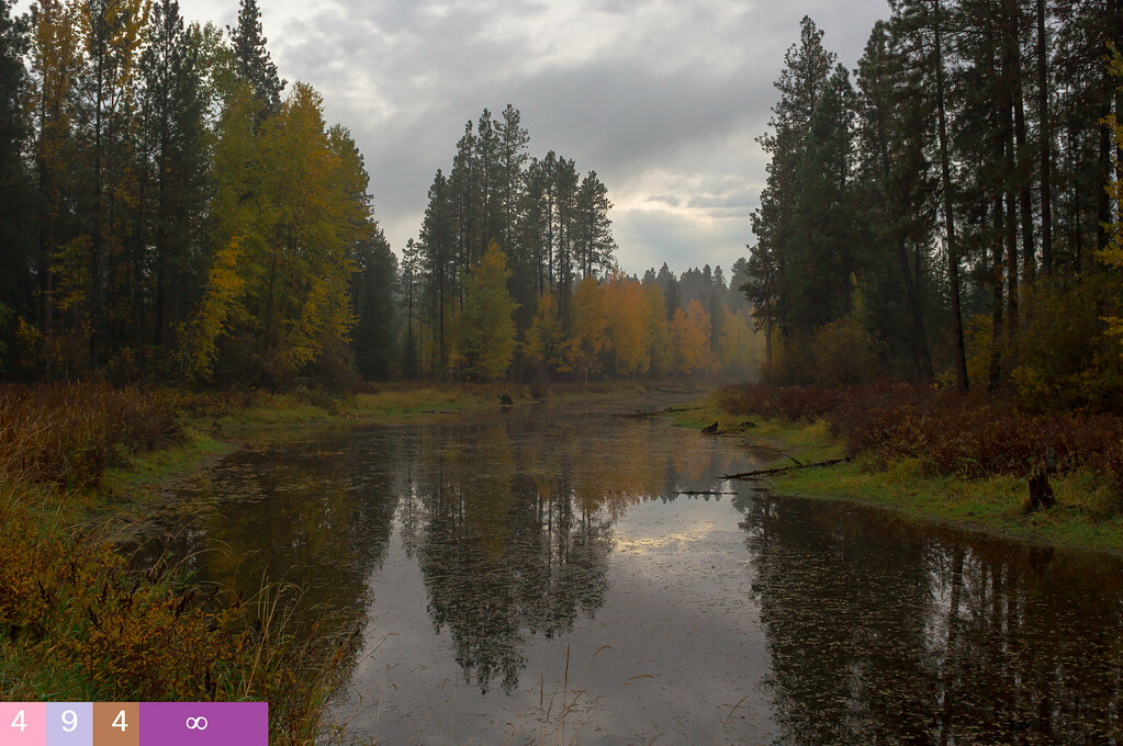
Returns and Reconnections - (Explored)

Frozen Over Pend Oreille River 1-2-16 PO Co, Wa
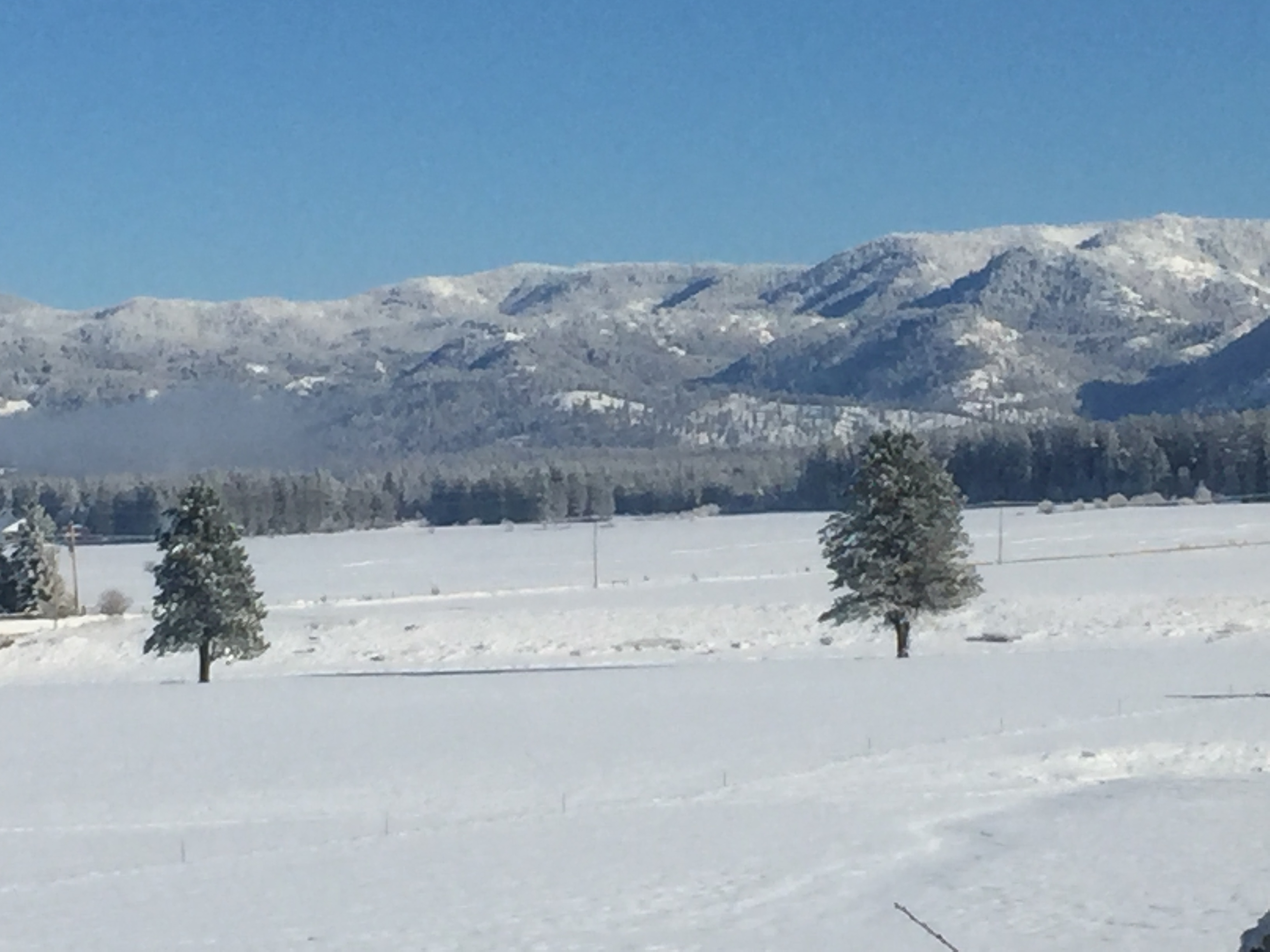
Calispell Lake 1-2-16 PO Co, Wa
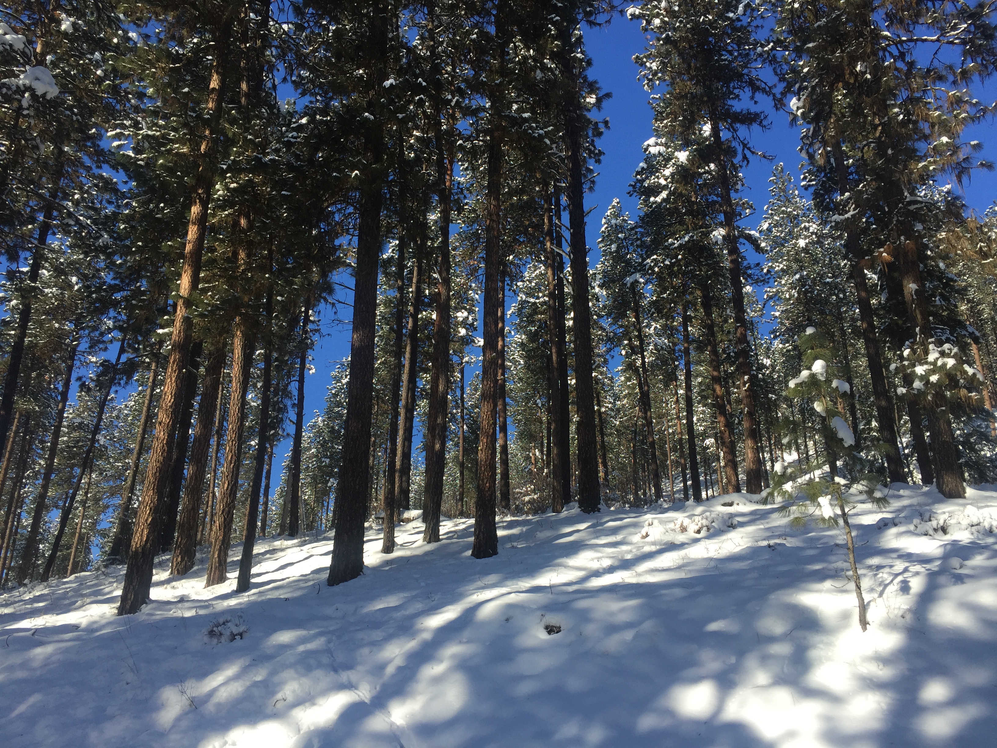
Winter among the Pines 1-2-15 Calispell Lk, PO Co, Wa
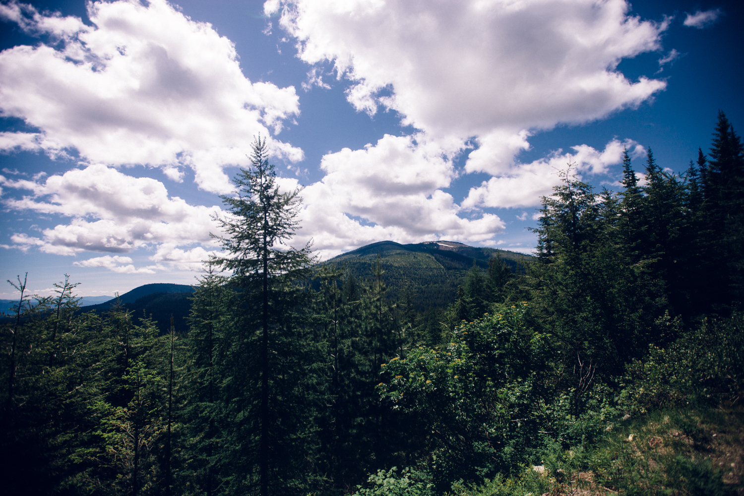
2016.05.28 - Northeast Washington
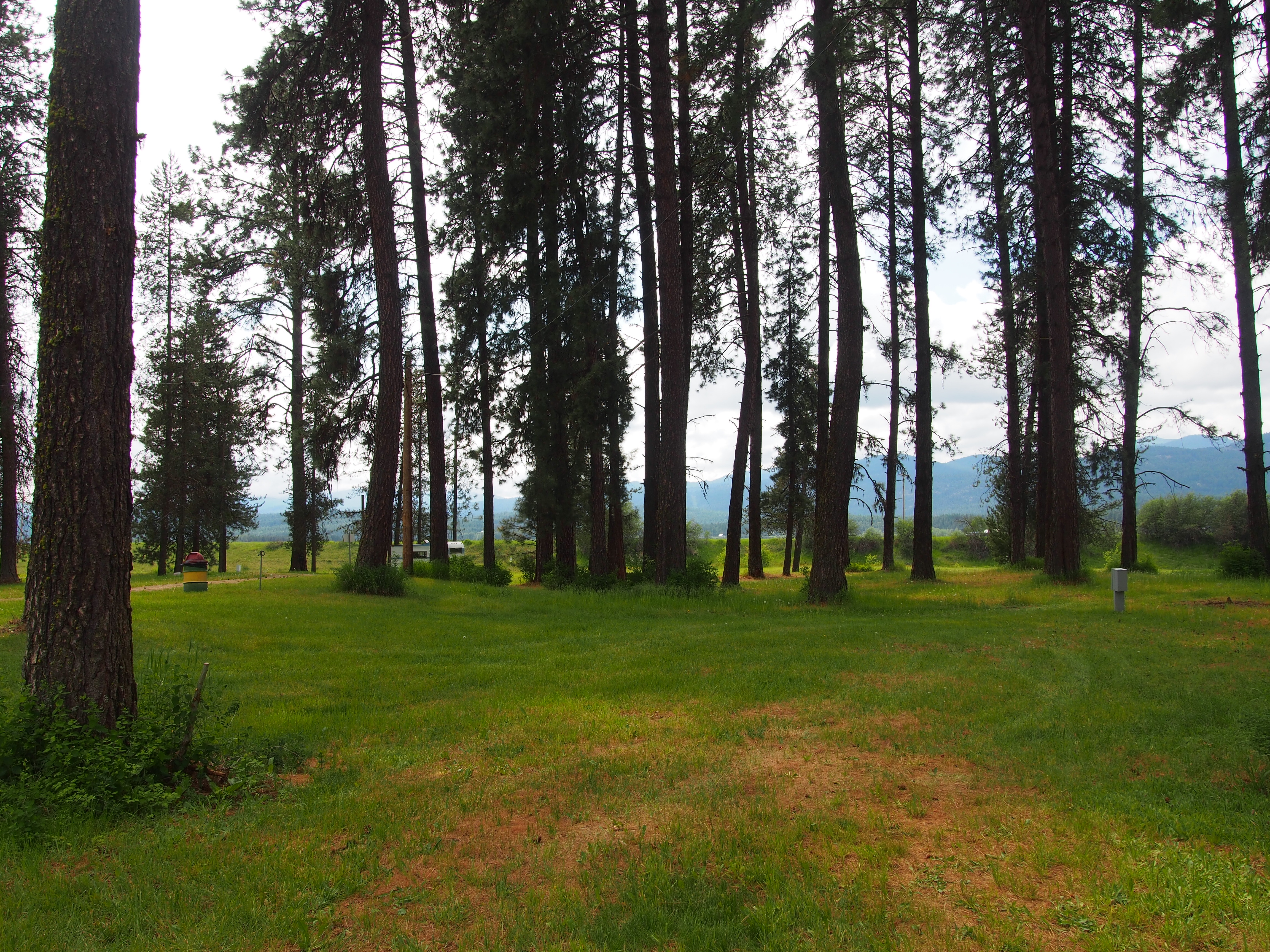
Pend Oreille County Fairground R/V Park
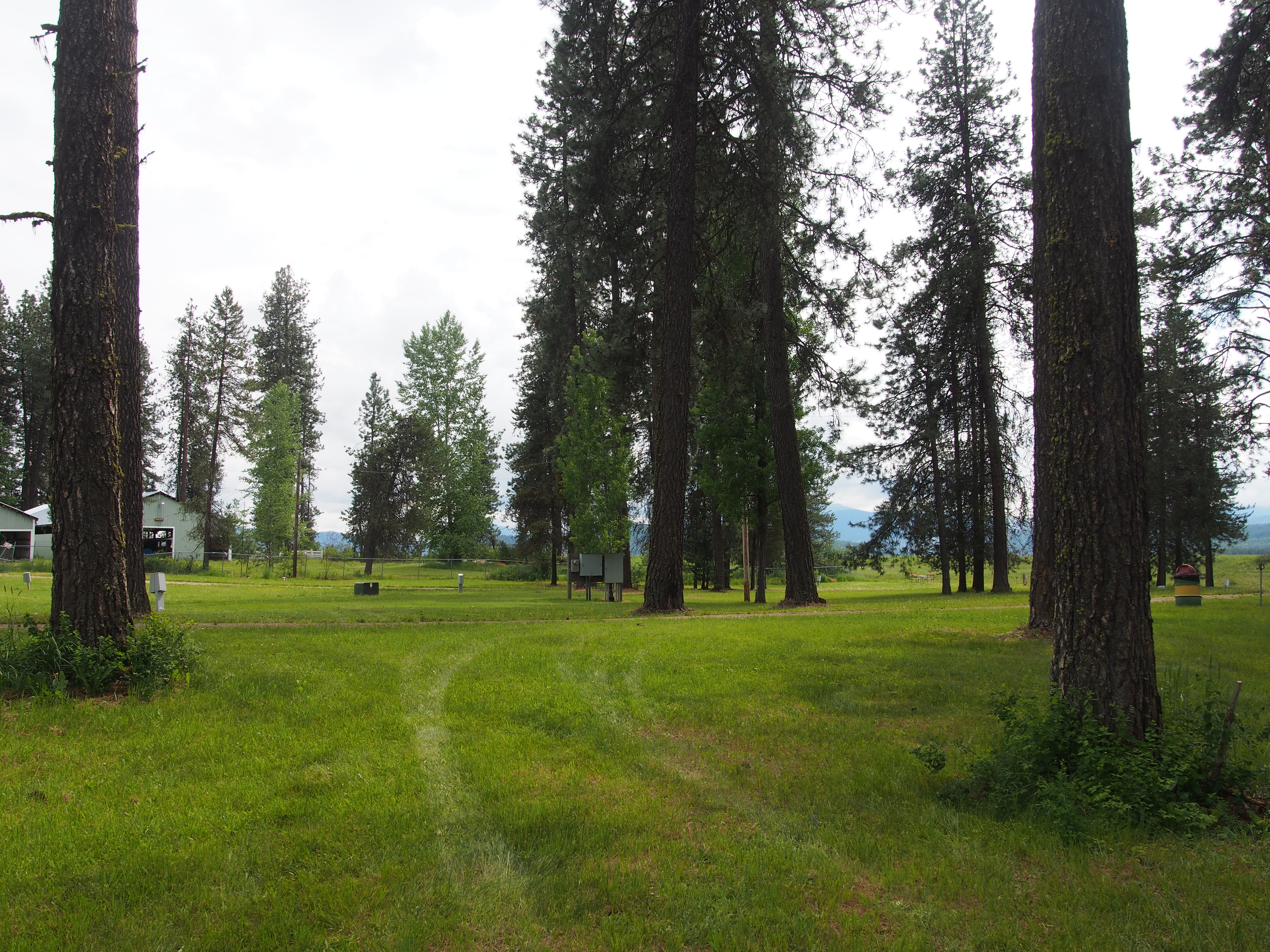
Pend Oreille County Fairground R/V Park
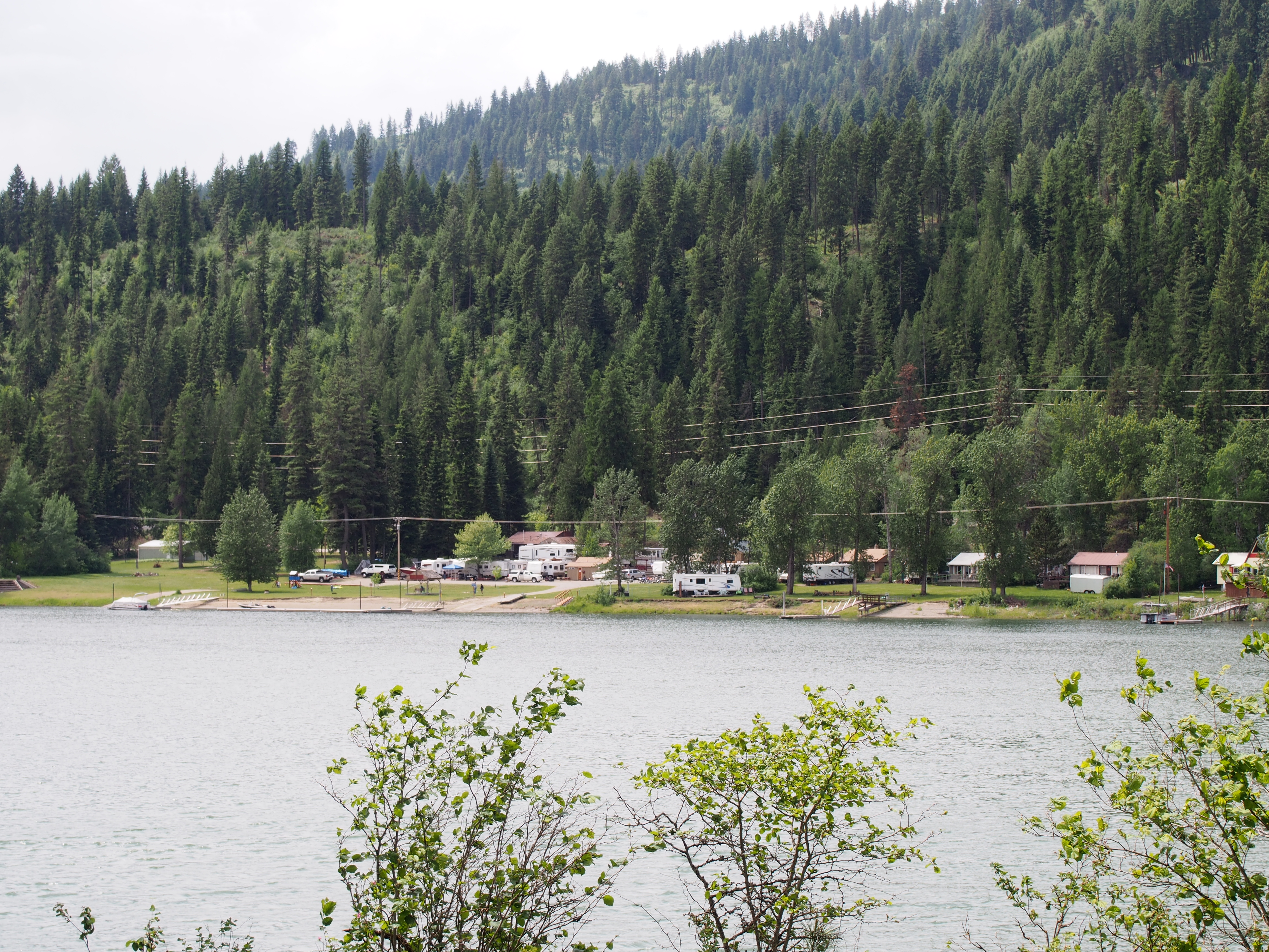
Pend Oreille River
Topographic Map of Tacoma Creek Rd, Cusick, WA, USA
Find elevation by address:

Places near Tacoma Creek Rd, Cusick, WA, USA:
Pend Oreille County
222 N Shadow Dr
Calispell
113 5th Ave
Cusick
Timber St, Cusick, WA, USA
Usk
99 Guinevere Dr
WA-20, Cusick, WA, USA
3971 Rocky Gorge Rd
3971 Rocky Gorge Rd
3971 Rocky Gorge Rd
3971 Co Hwy 1219
3971 Co Hwy 1219
Nelson Creek
612 Levitch Rd
611 Levitch Rd
Sacheen Lake
Nat for Dev Rd, Ione, WA, USA
223 Antler Ln
Recent Searches:
- Elevation of Congressional Dr, Stevensville, MD, USA
- Elevation of Bellview Rd, McLean, VA, USA
- Elevation of Stage Island Rd, Chatham, MA, USA
- Elevation of Shibuya Scramble Crossing, 21 Udagawacho, Shibuya City, Tokyo -, Japan
- Elevation of Jadagoniai, Kaunas District Municipality, Lithuania
- Elevation of Pagonija rock, Kranto 7-oji g. 8"N, Kaunas, Lithuania
- Elevation of Co Rd 87, Jamestown, CO, USA
- Elevation of Tenjo, Cundinamarca, Colombia
- Elevation of Côte-des-Neiges, Montreal, QC H4A 3J6, Canada
- Elevation of Bobcat Dr, Helena, MT, USA