Elevation of WA-20, Cusick, WA, USA
Location: United States > Washington > Pend Oreille County > Cusick >
Longitude: -117.34461
Latitude: 48.5556088
Elevation: 626m / 2054feet
Barometric Pressure: 94KPa
Elevation Map:
Satellite Map:
Related Photos:
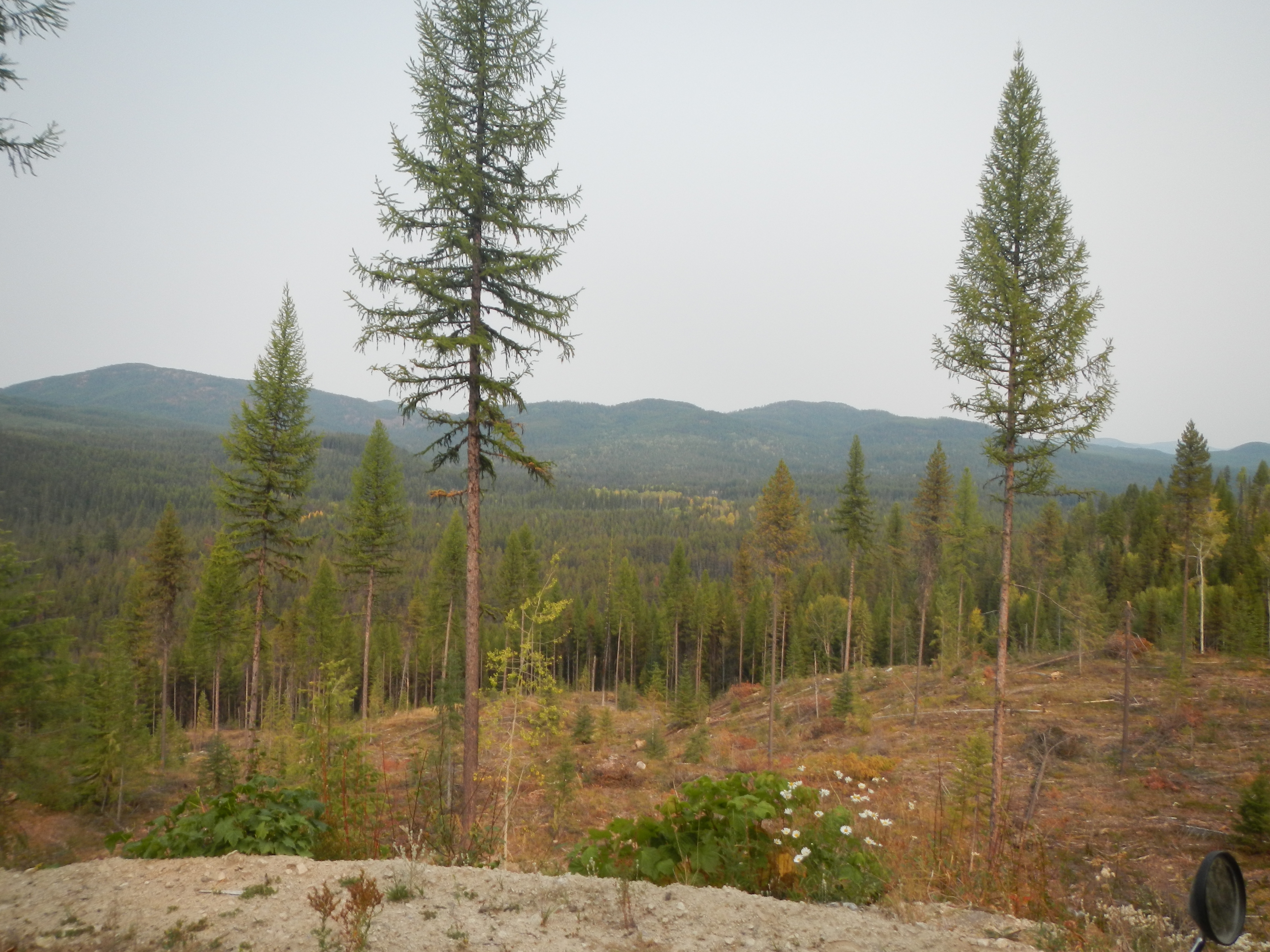
Valley view
Towards New Heights
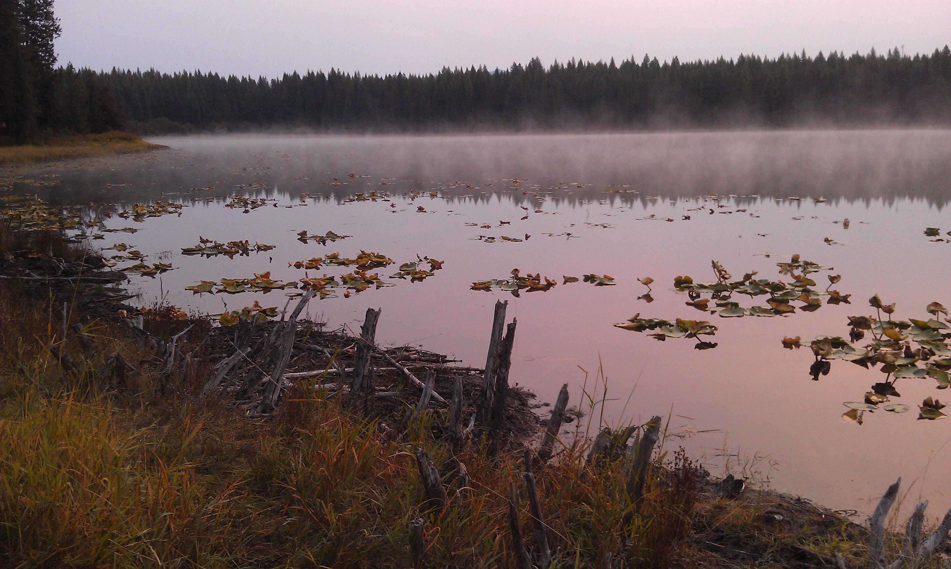
Lake Leo- Colville National Forest- Pend Oreille County WA (1)
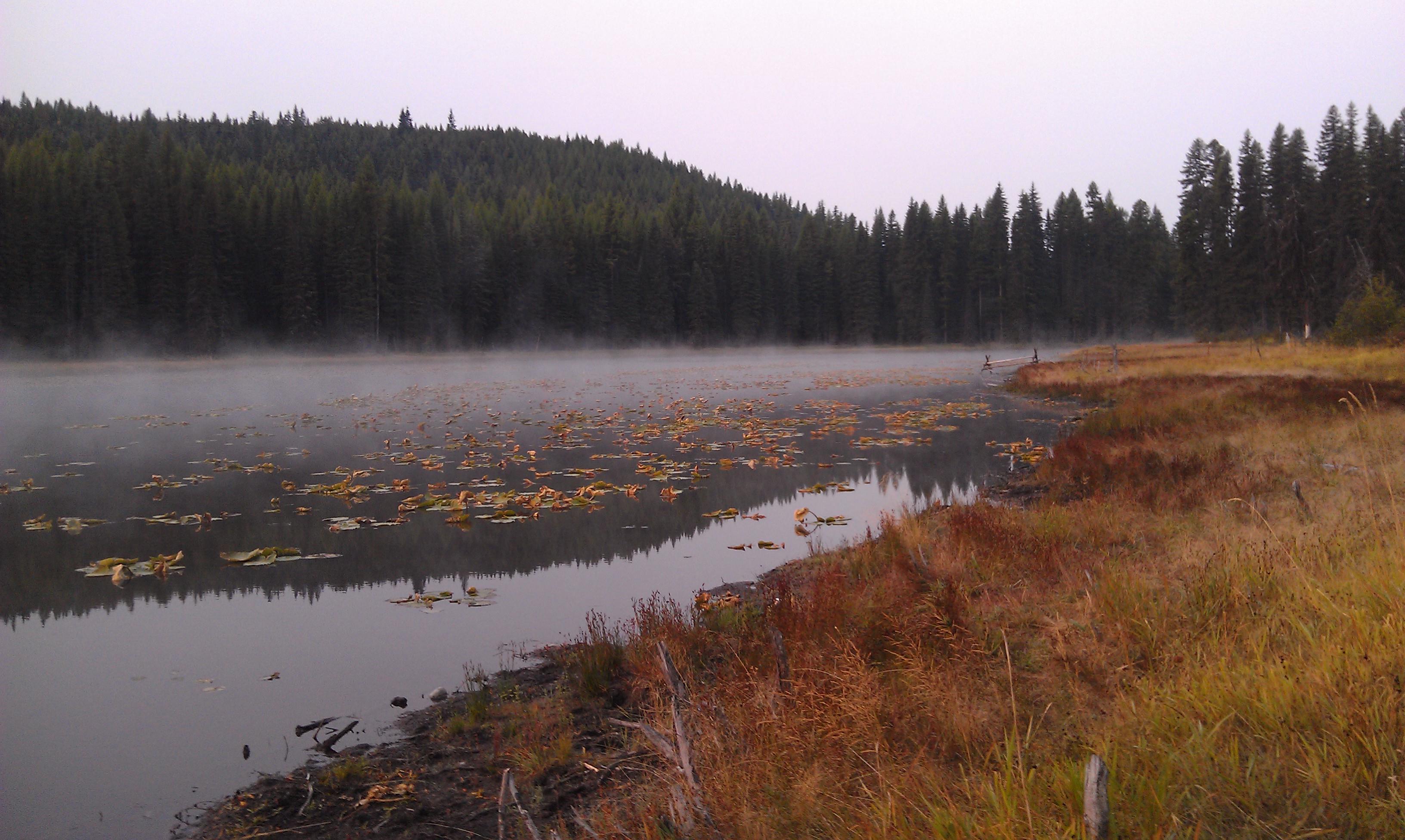
Lake Leo- Colville National Forest- Pend Oreille County WA (2)
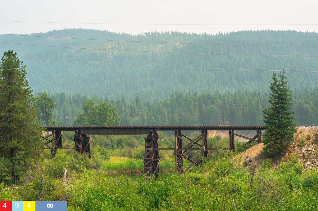
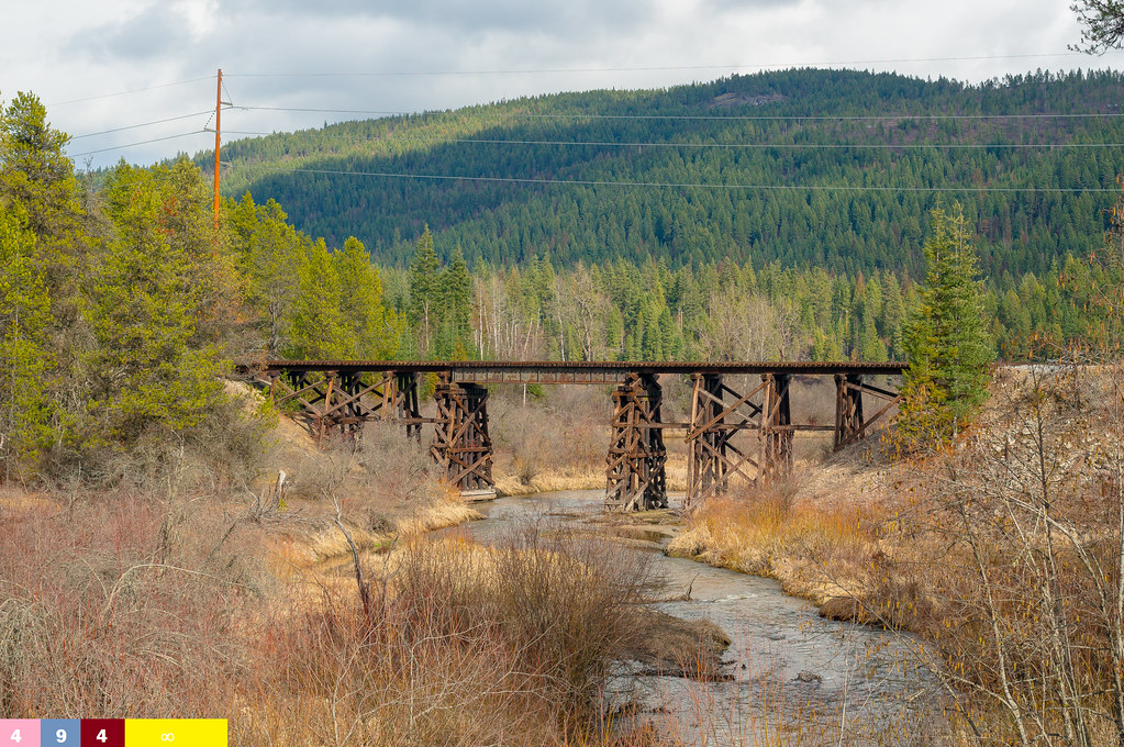
...Over the Railroad Trestle
nature shots (40)
nature shots (41)
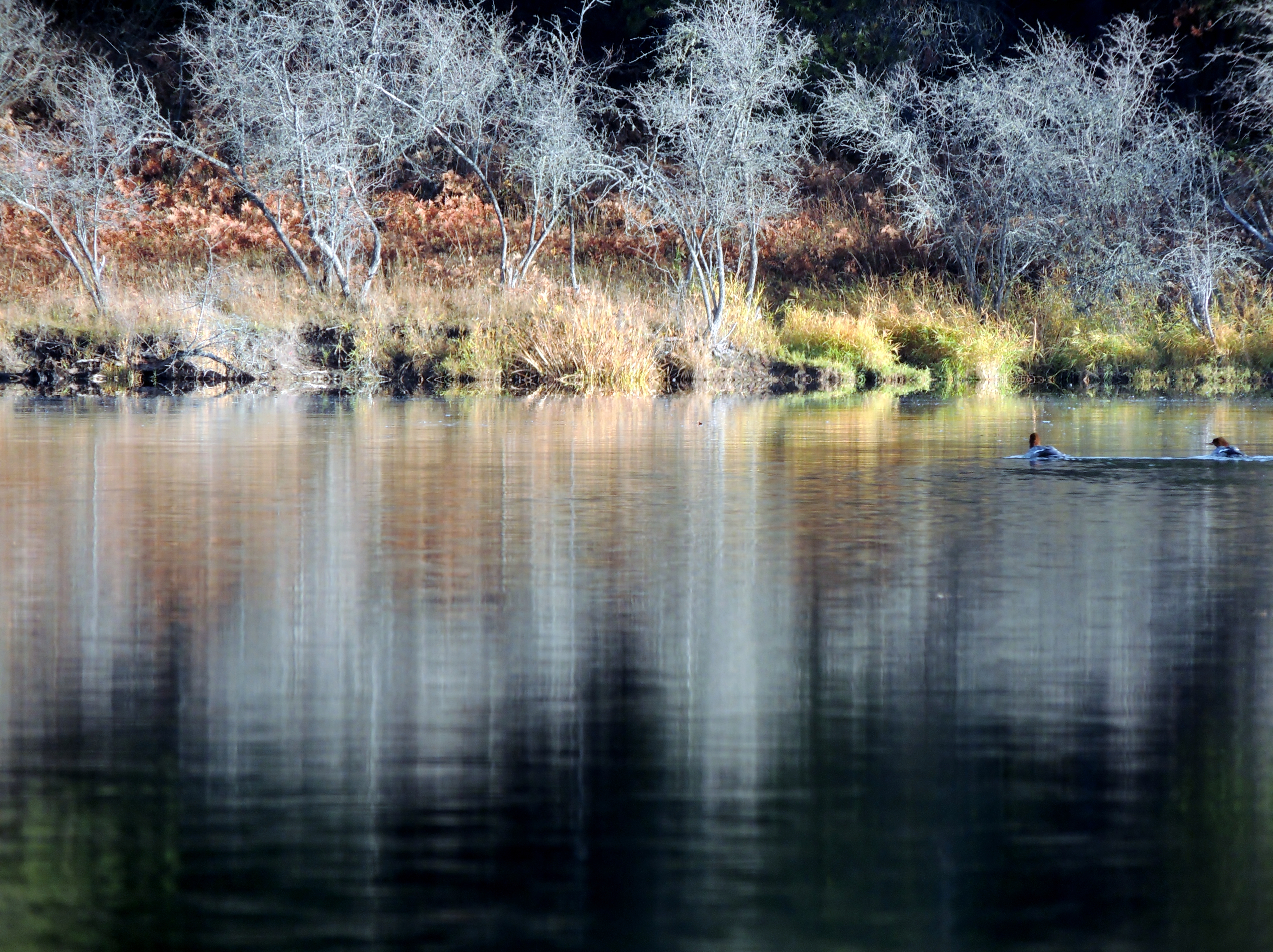
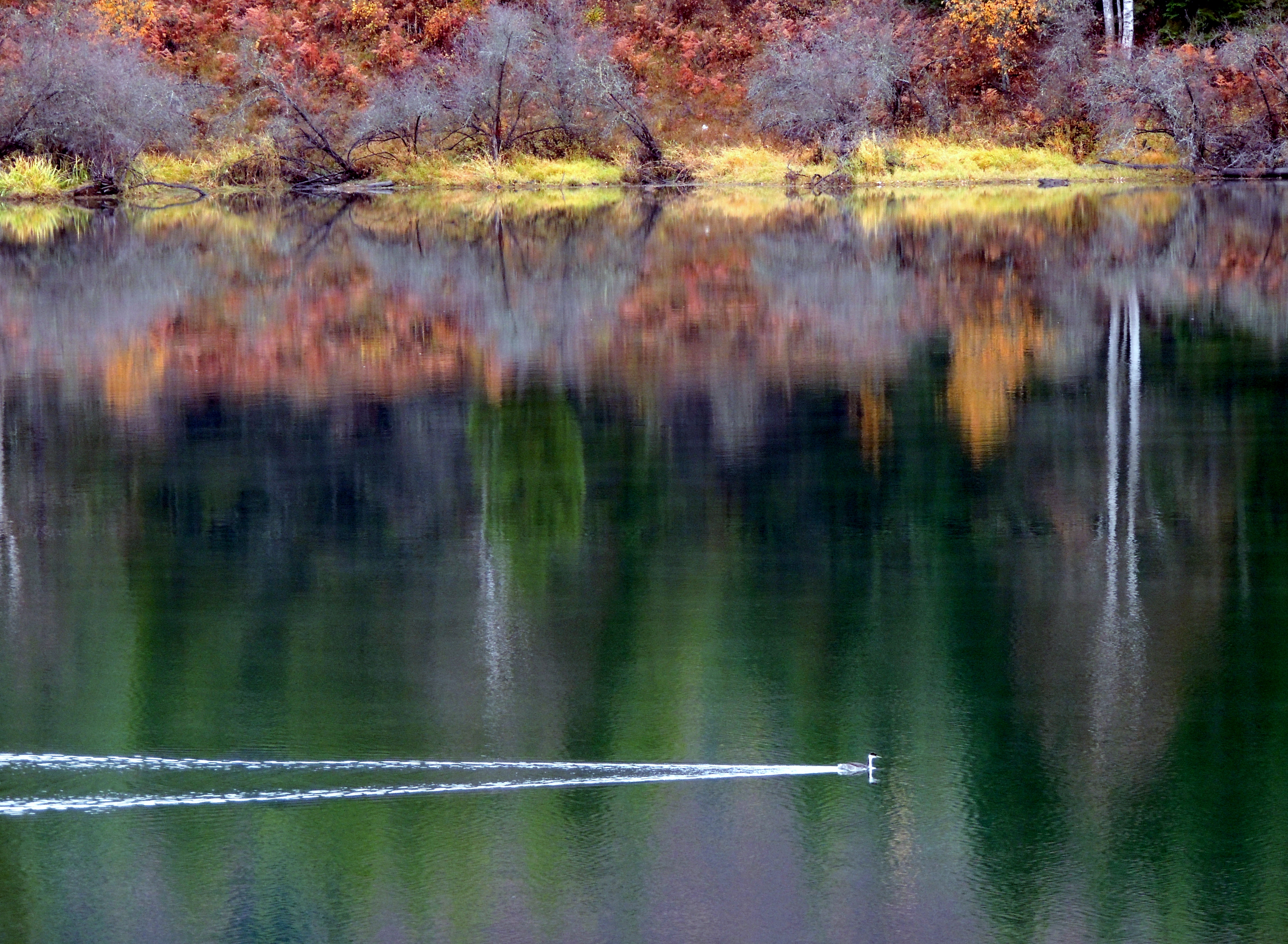
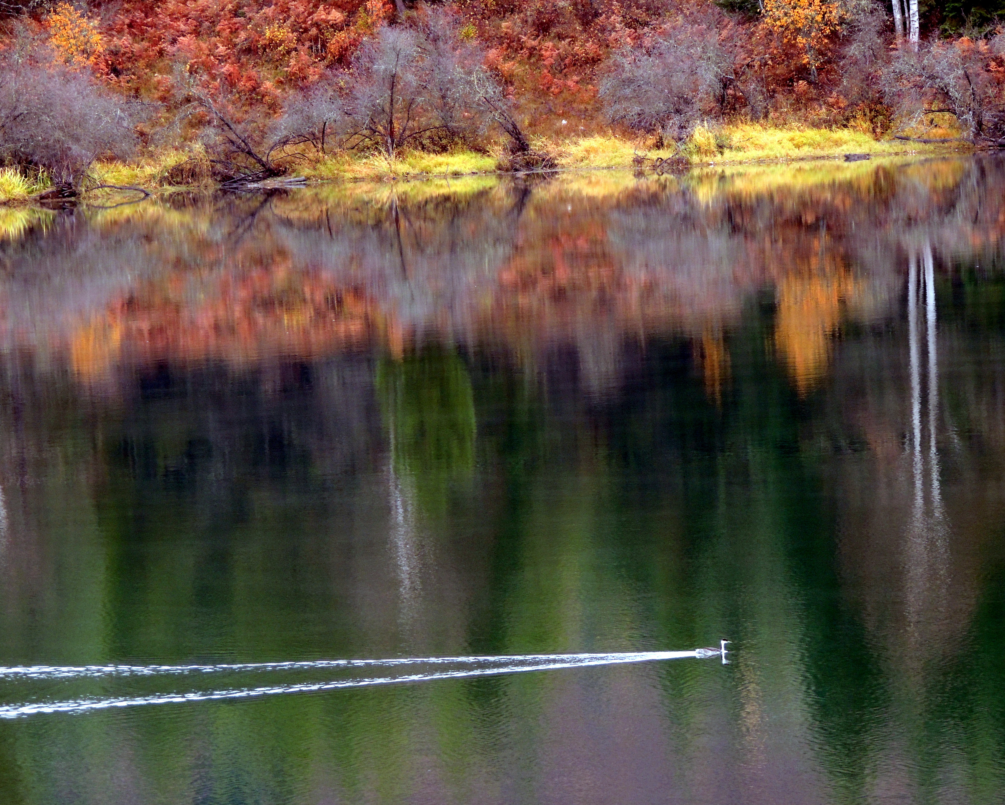
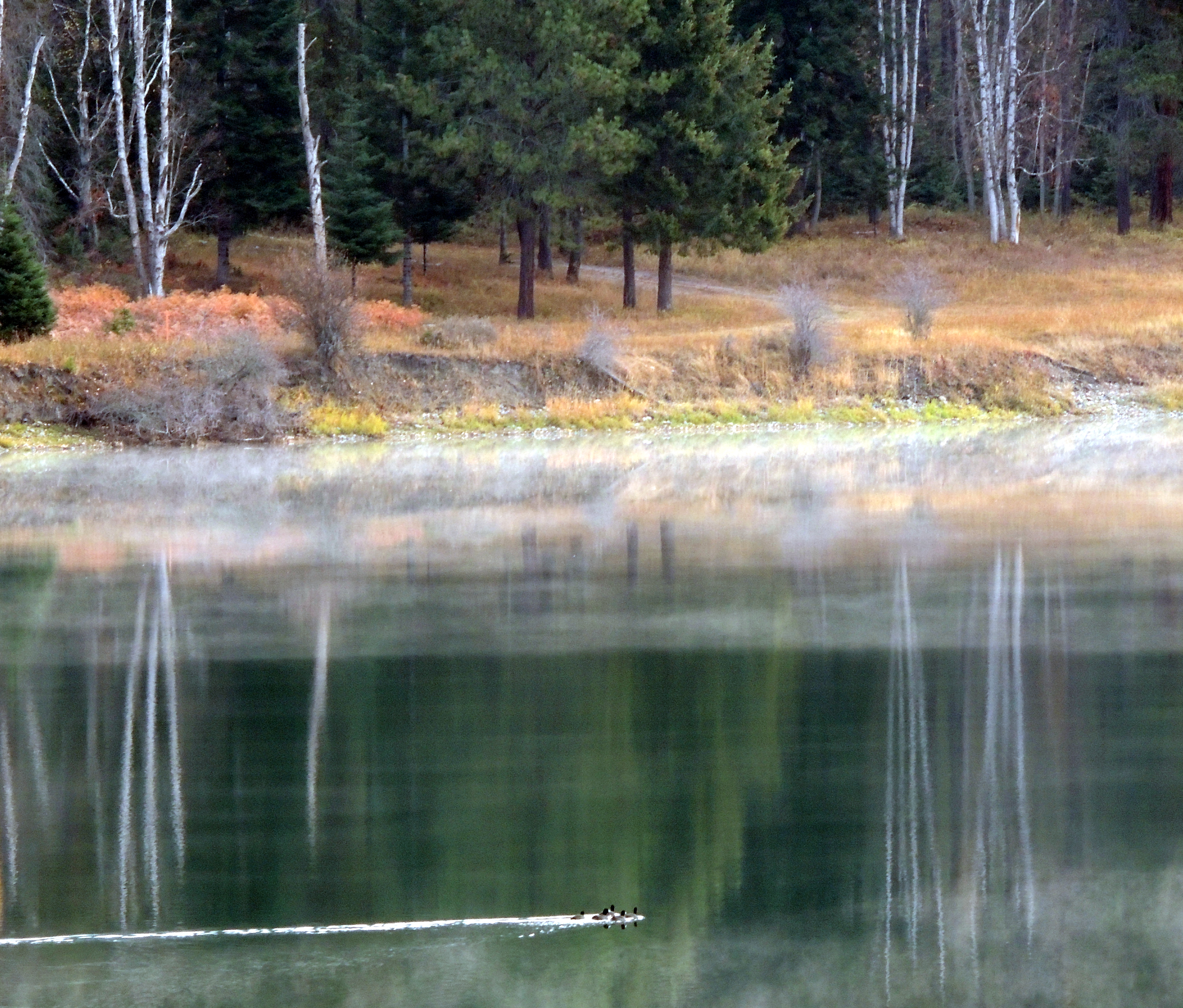
Common Mergansers. Pend Oreille River (12)
nature shots (27)

Common Mergansers. Pend Oreille River (6)
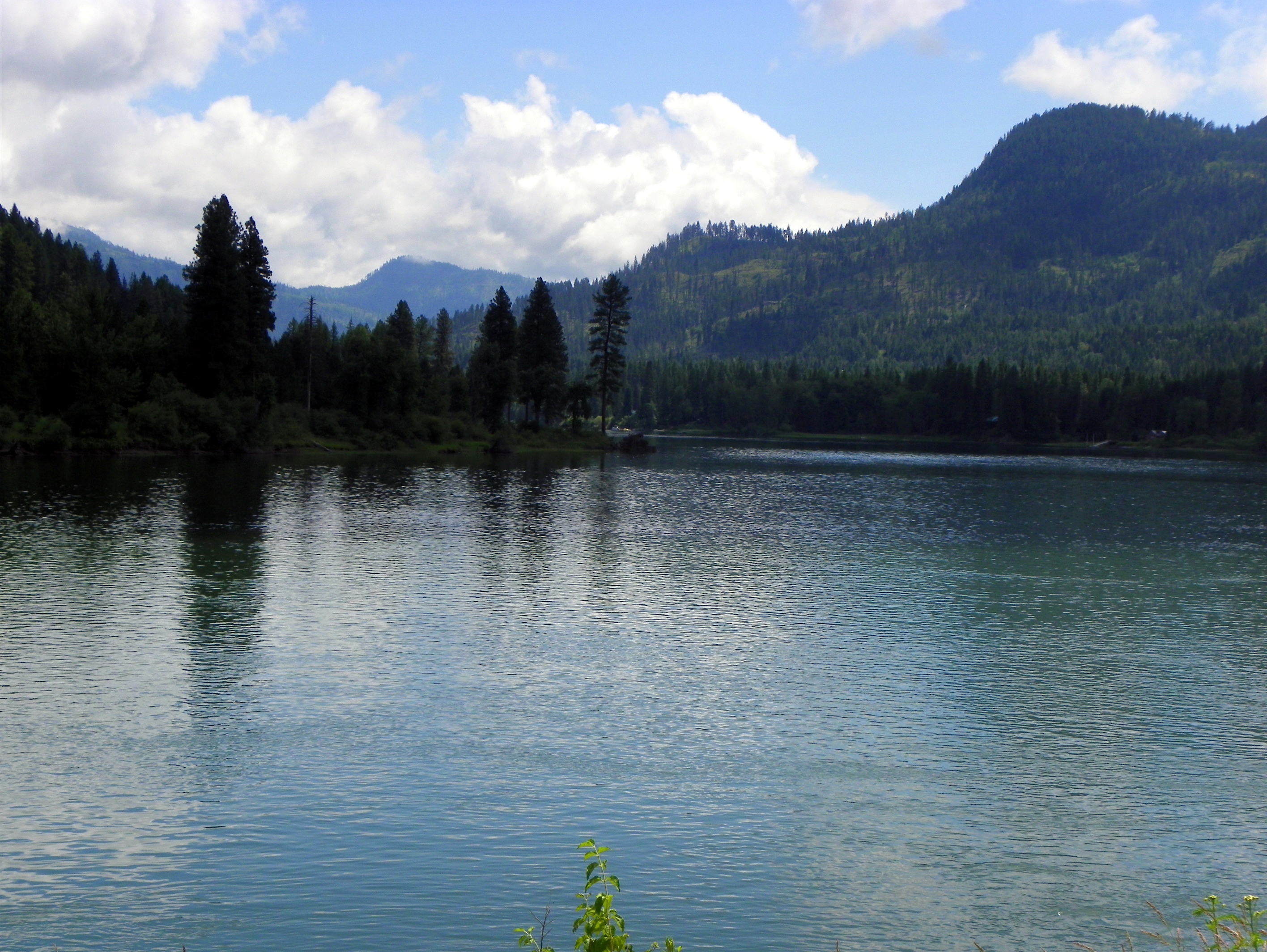
Pend Oreille River
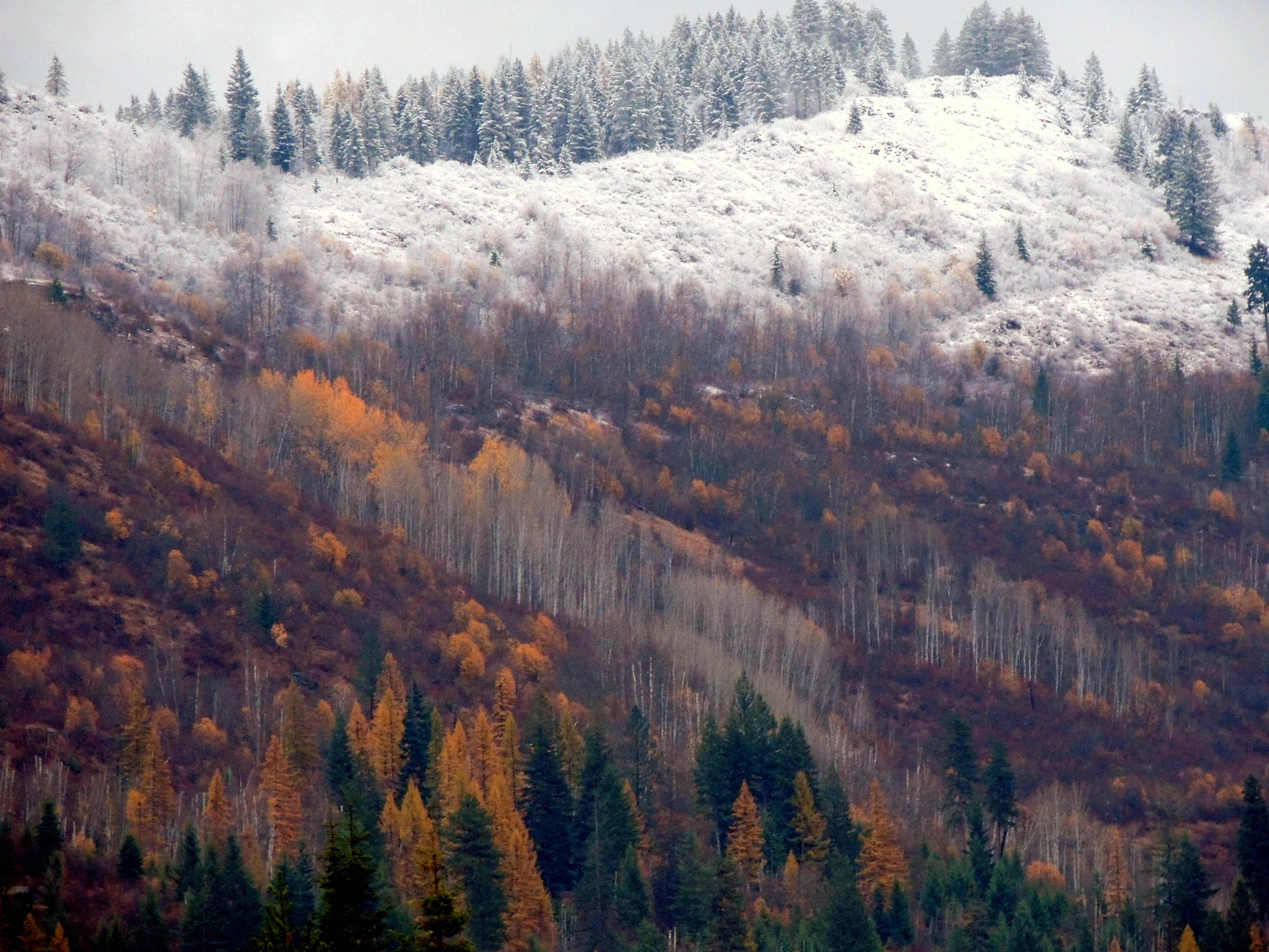
Autumn in Pend Oreille County
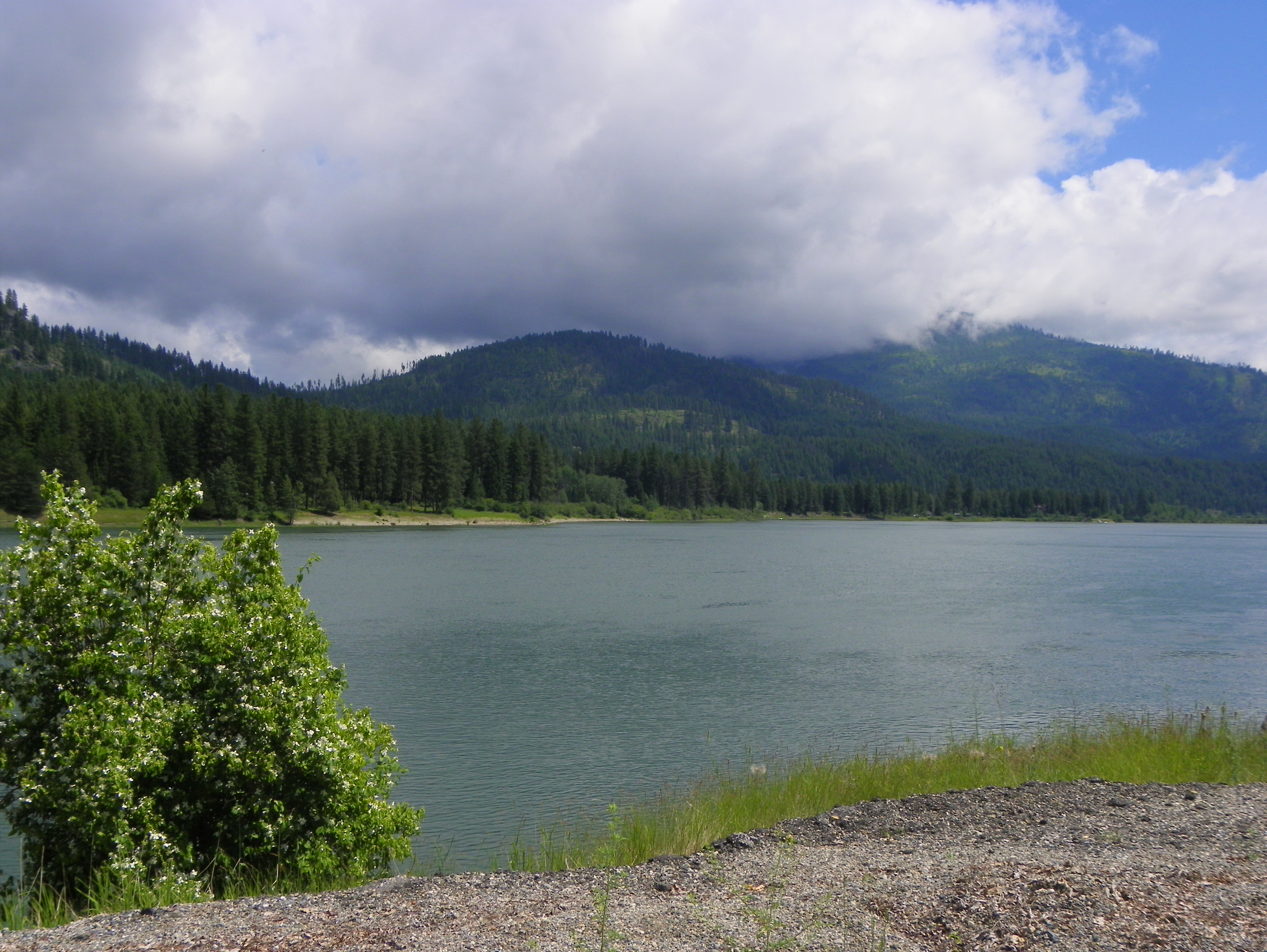
Pend Oreille River
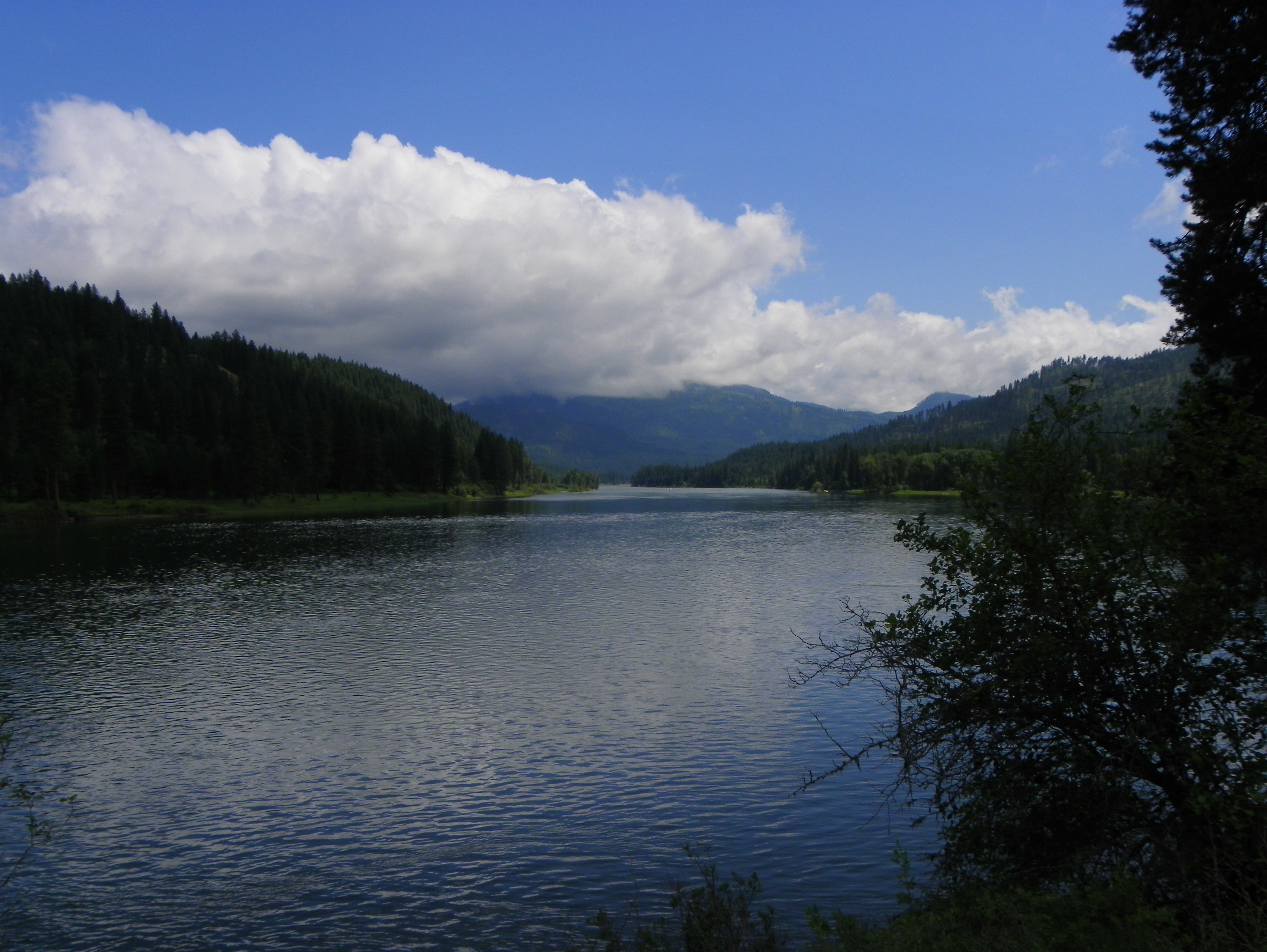
Pend Oreille River

Frozen Over Pend Oreille River 1-2-16 PO Co, Wa
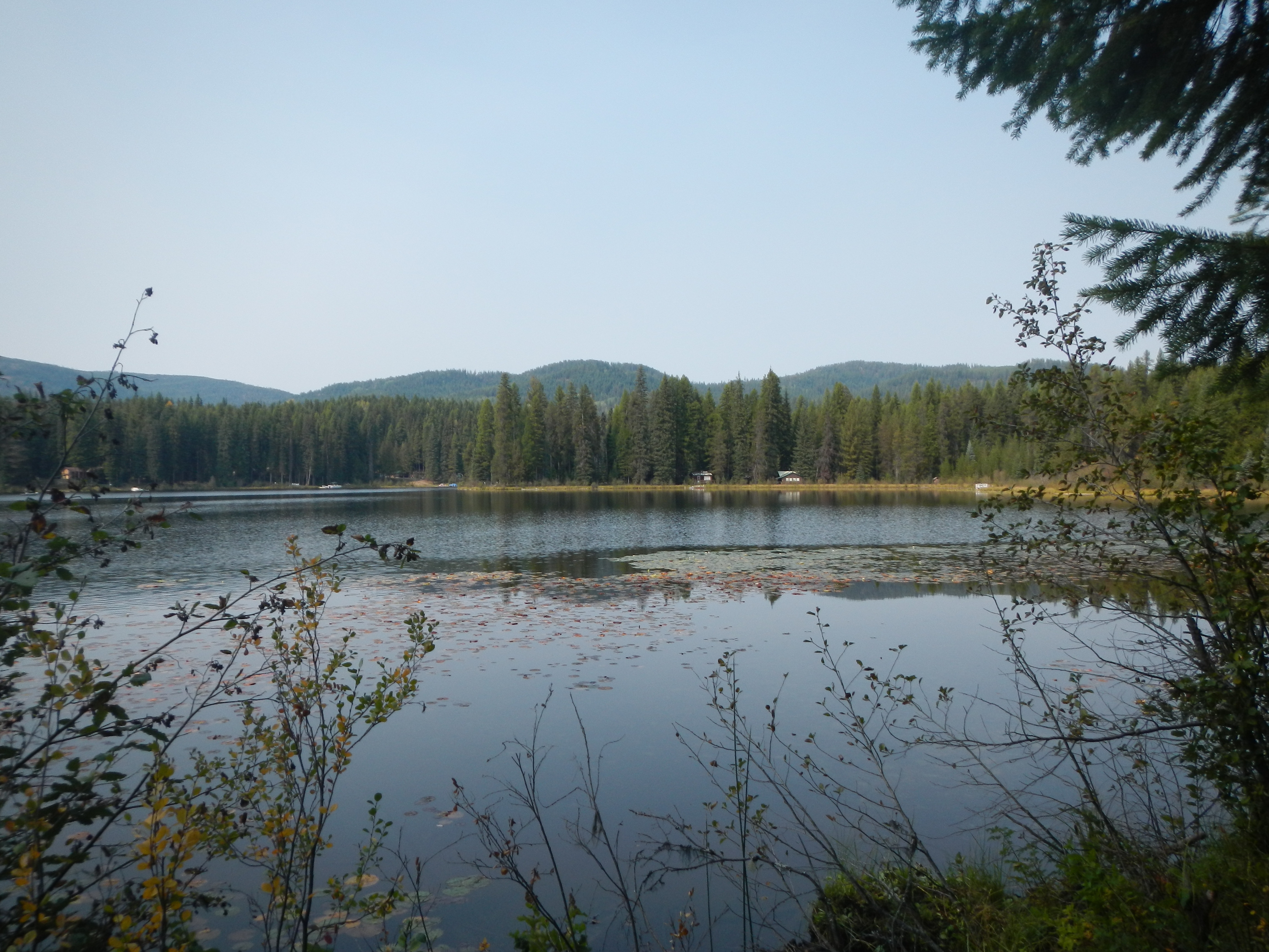
Lake Gillette
Pend Oreille River
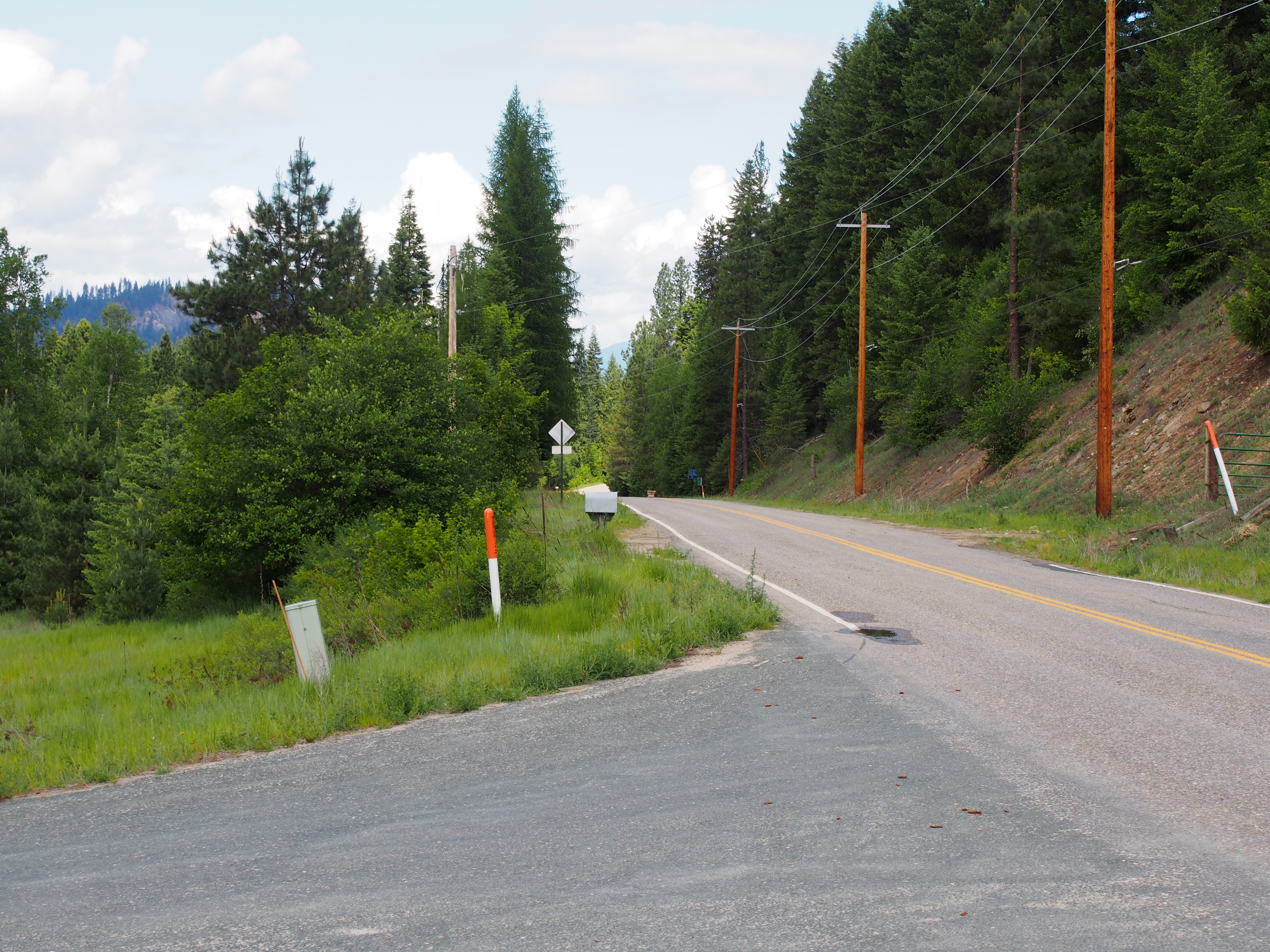
Le Clerc Road
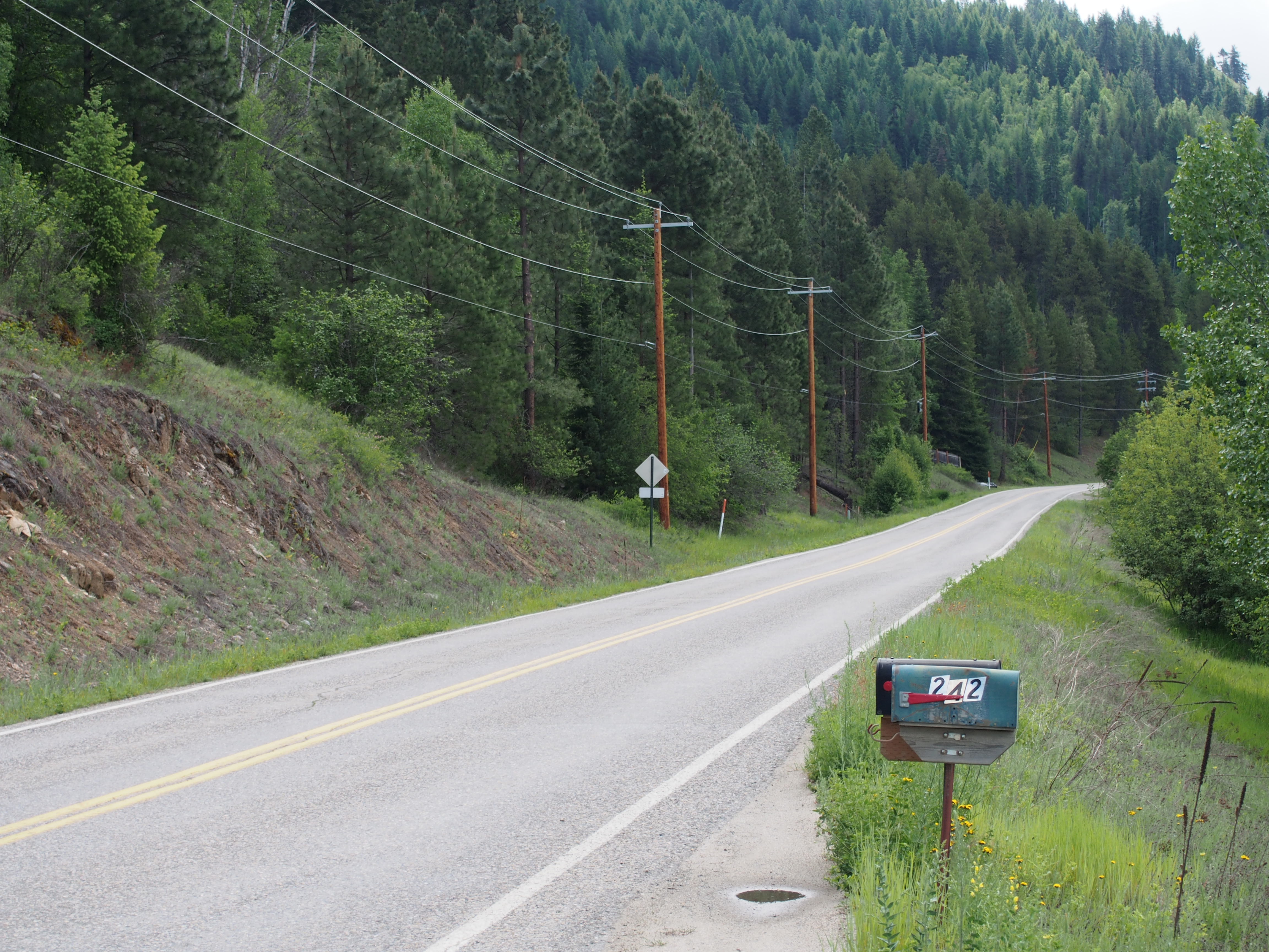
Le Clerc Road
Topographic Map of WA-20, Cusick, WA, USA
Find elevation by address:

Places near WA-20, Cusick, WA, USA:
222 N Shadow Dr
Nat for Dev Rd, Ione, WA, USA
Pend Oreille County
1781 Tacoma Creek Rd
Northstar Road
Ione
Cedar Creek Road
Lake Sherry Homes Drive
2447 Wa-20
Calispell
113 5th Ave
Cusick
Timber St, Cusick, WA, USA
Usk
99 Guinevere Dr
Metaline Falls
Nelson Creek
3971 Rocky Gorge Rd
3971 Rocky Gorge Rd
3971 Rocky Gorge Rd
Recent Searches:
- Elevation of Corso Fratelli Cairoli, 35, Macerata MC, Italy
- Elevation of Tallevast Rd, Sarasota, FL, USA
- Elevation of 4th St E, Sonoma, CA, USA
- Elevation of Black Hollow Rd, Pennsdale, PA, USA
- Elevation of Oakland Ave, Williamsport, PA, USA
- Elevation of Pedrógão Grande, Portugal
- Elevation of Klee Dr, Martinsburg, WV, USA
- Elevation of Via Roma, Pieranica CR, Italy
- Elevation of Tavkvetili Mountain, Georgia
- Elevation of Hartfords Bluff Cir, Mt Pleasant, SC, USA