Elevation of Metaline Falls, WA, USA
Location: United States > Washington > Pend Oreille County >
Longitude: -117.37246
Latitude: 48.8638091
Elevation: 637m / 2090feet
Barometric Pressure: 94KPa
Elevation Map:
Satellite Map:
Related Photos:

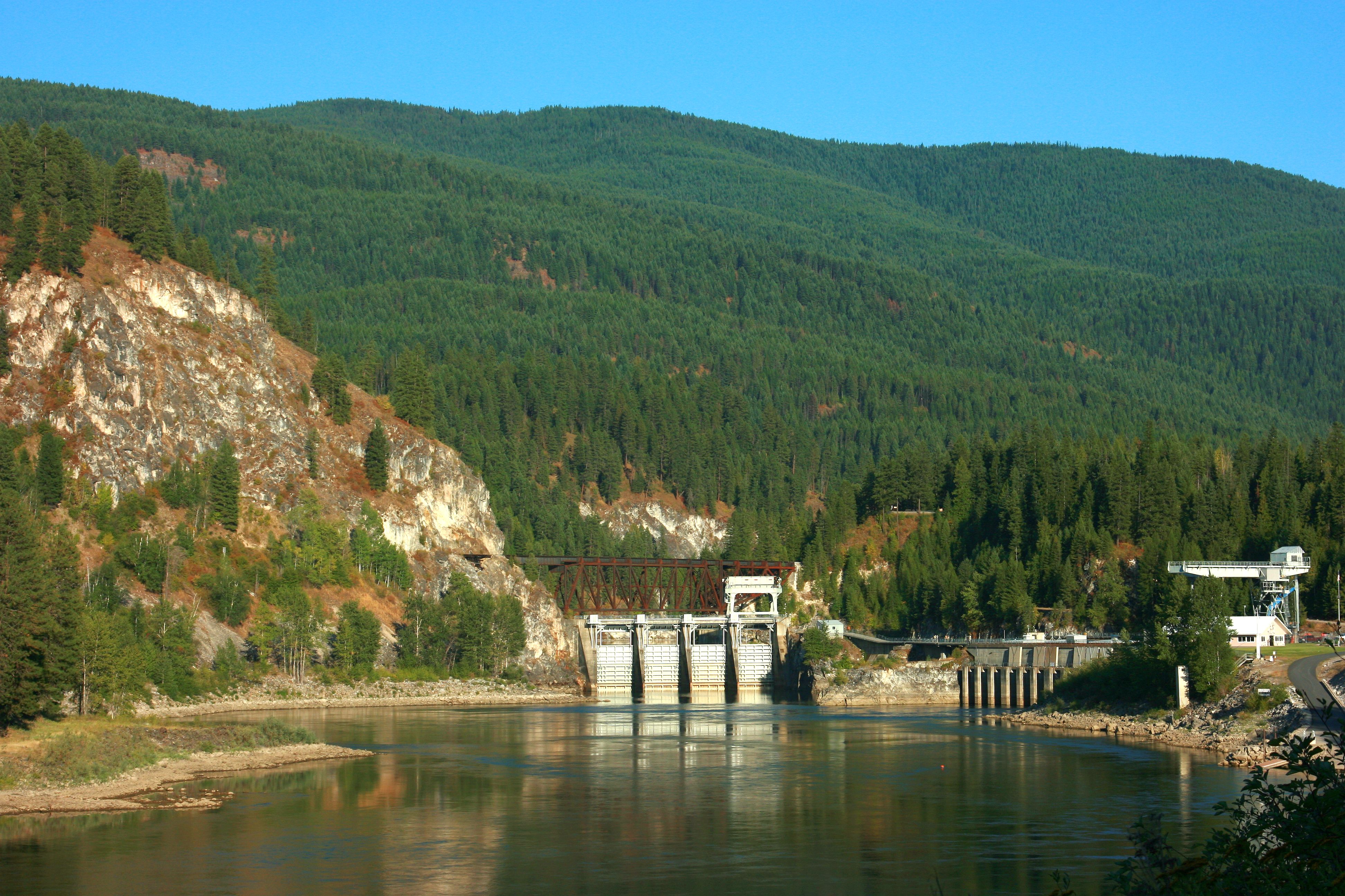
Box Canyon Dam
BOX CANYON DAM, IONE, WA 8-7-15

View from room at Hume Hotel
Topographic Map of Metaline Falls, WA, USA
Find elevation by address:

Places in Metaline Falls, WA, USA:
Places near Metaline Falls, WA, USA:
Hooknose Mountain
Abercrombie Mountain
Boundary Access Road
Boundary Dam
Ione
Crawford State Park
Cedar Creek Road
Nelway
Northstar Road
Pend D'Oreille Rd, Fruitvale, BC V0G 1L1, Canada
250 Rosebud Lake Rd
350 Bear Rd
Red Top Mountain
Nat for Dev Rd, Ione, WA, USA
3918 Cedar Creek Rd
Gypsy Peak
Kootenay Boundary A
Salmo River Ranch Campground
Leola Peak
Mcleod Road
Recent Searches:
- Elevation of Corso Fratelli Cairoli, 35, Macerata MC, Italy
- Elevation of Tallevast Rd, Sarasota, FL, USA
- Elevation of 4th St E, Sonoma, CA, USA
- Elevation of Black Hollow Rd, Pennsdale, PA, USA
- Elevation of Oakland Ave, Williamsport, PA, USA
- Elevation of Pedrógão Grande, Portugal
- Elevation of Klee Dr, Martinsburg, WV, USA
- Elevation of Via Roma, Pieranica CR, Italy
- Elevation of Tavkvetili Mountain, Georgia
- Elevation of Hartfords Bluff Cir, Mt Pleasant, SC, USA