Elevation of Red Top Mountain, Washington, USA
Location: United States > Washington > Colville >
Longitude: -117.53997
Latitude: 48.9613068
Elevation: 903m / 2963feet
Barometric Pressure: 91KPa
Elevation Map:
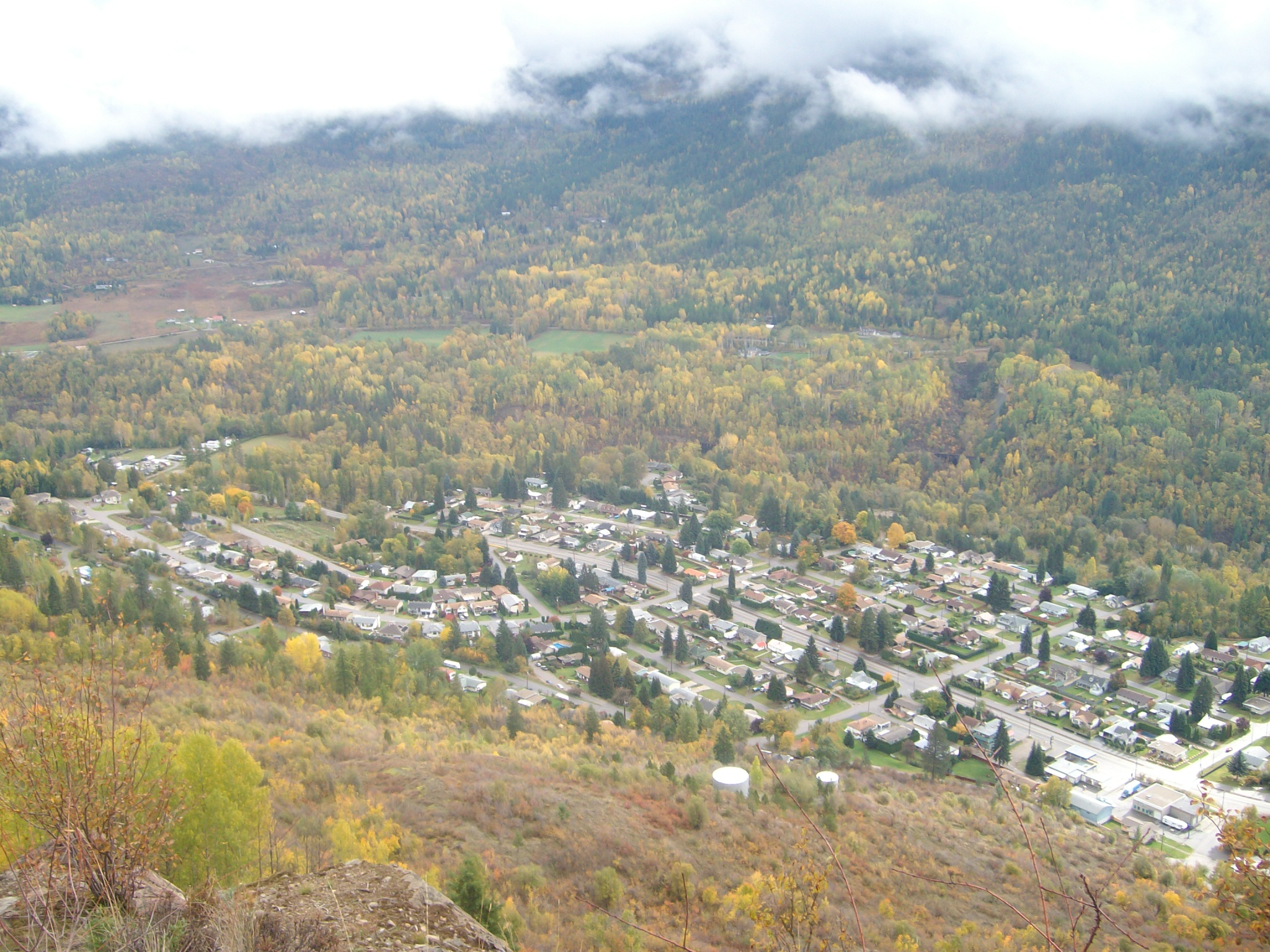
Satellite Map:
Related Photos:

View from room at Hume Hotel
Montrose view
Topographic Map of Red Top Mountain, Washington, USA
Find elevation by address:

Places near Red Top Mountain, Washington, USA:
3918 Cedar Creek Rd
Kootenay Boundary A
Abercrombie Mountain
Hooknose Mountain
Mcleod Road
290 8th Ave
Montrose
1550 Bc-3b
1691 1 St
1807 Columbia Gardens Rd
1643 Mountain St
Fruitvale
4226 Casino Rd
4220 Casino Rd
Mountain St, Fruitvale, BC V0G 1L1, Canada
1922 Meadowlark Dr
2175 Caughlin Rd
Crawford State Park
Boundary Access Road
Metaline Falls
Recent Searches:
- Elevation of Corso Fratelli Cairoli, 35, Macerata MC, Italy
- Elevation of Tallevast Rd, Sarasota, FL, USA
- Elevation of 4th St E, Sonoma, CA, USA
- Elevation of Black Hollow Rd, Pennsdale, PA, USA
- Elevation of Oakland Ave, Williamsport, PA, USA
- Elevation of Pedrógão Grande, Portugal
- Elevation of Klee Dr, Martinsburg, WV, USA
- Elevation of Via Roma, Pieranica CR, Italy
- Elevation of Tavkvetili Mountain, Georgia
- Elevation of Hartfords Bluff Cir, Mt Pleasant, SC, USA