Elevation of Colville, WA, USA
Location: United States > Washington >
Longitude: -117.90095
Latitude: 48.5449971
Elevation: 495m / 1624feet
Barometric Pressure: 96KPa
Elevation Map:
Satellite Map:
Related Photos:

Show Case
Dam Morning

Remembering Evergreen

Tweaks Evil
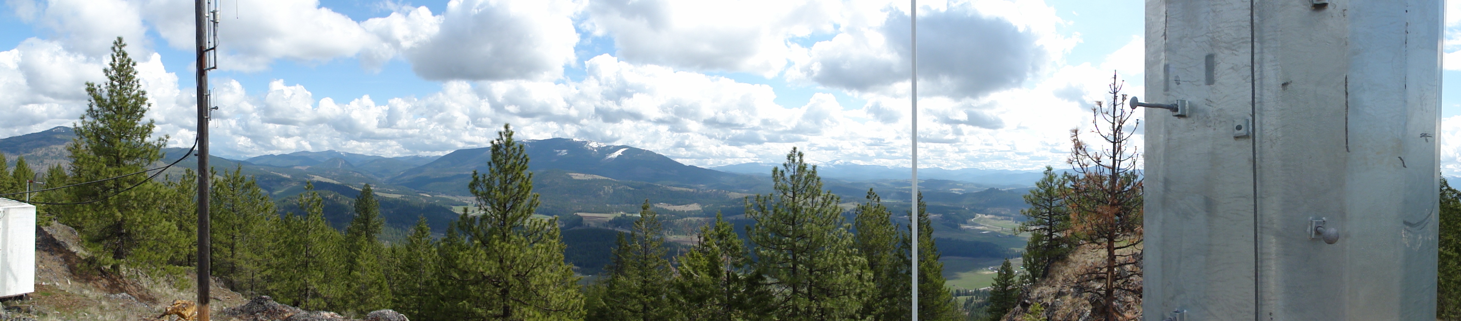
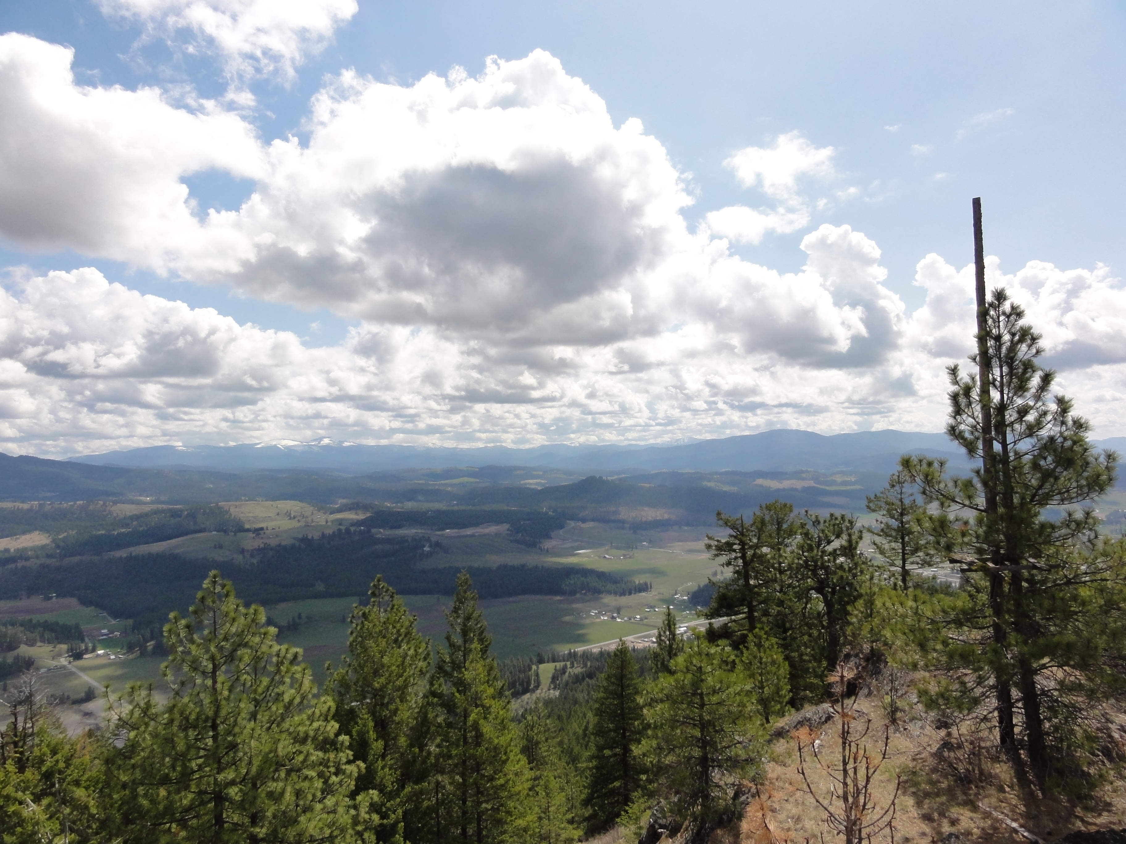
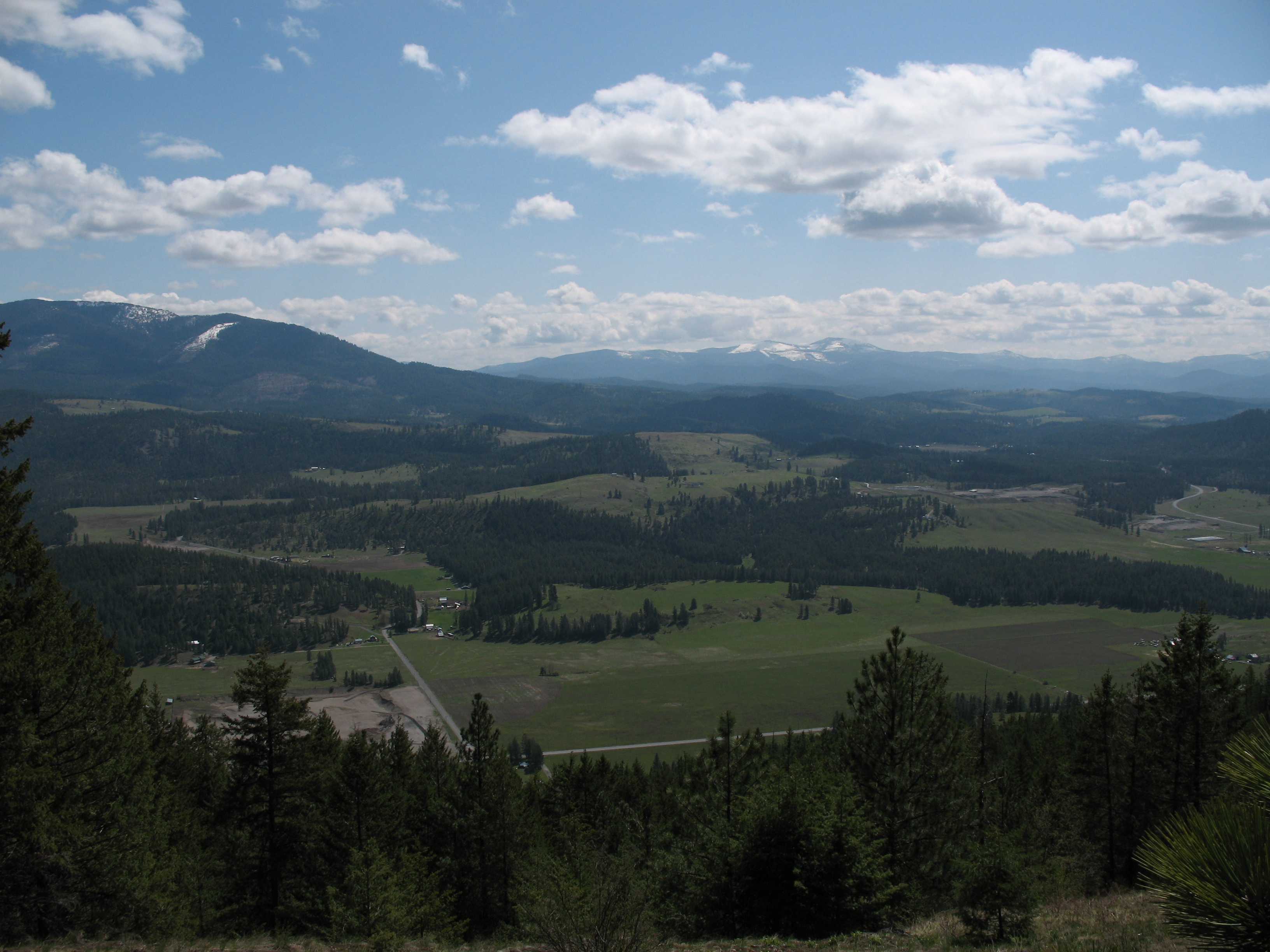
View from metal walkway
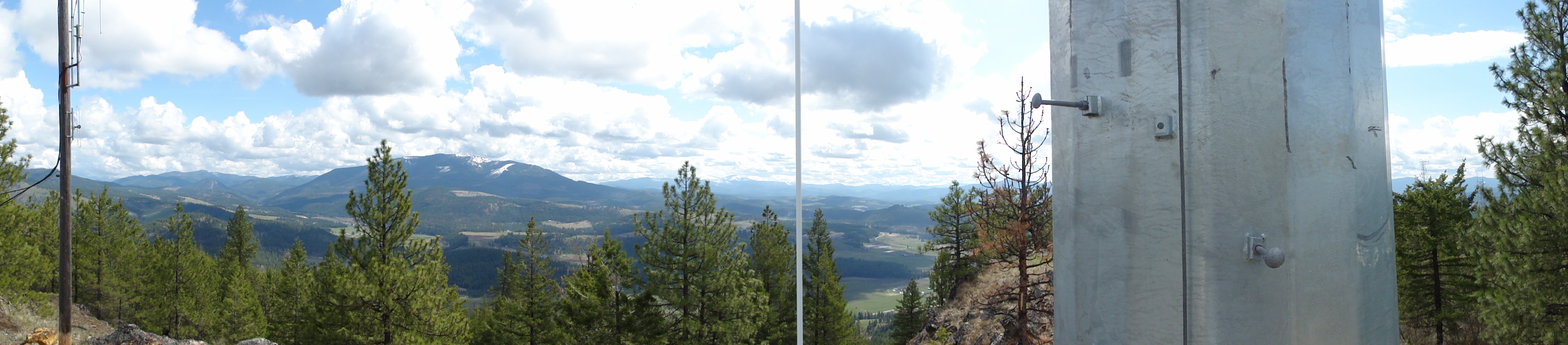
View from metal walkway
View from metal walkway
View from part way up array
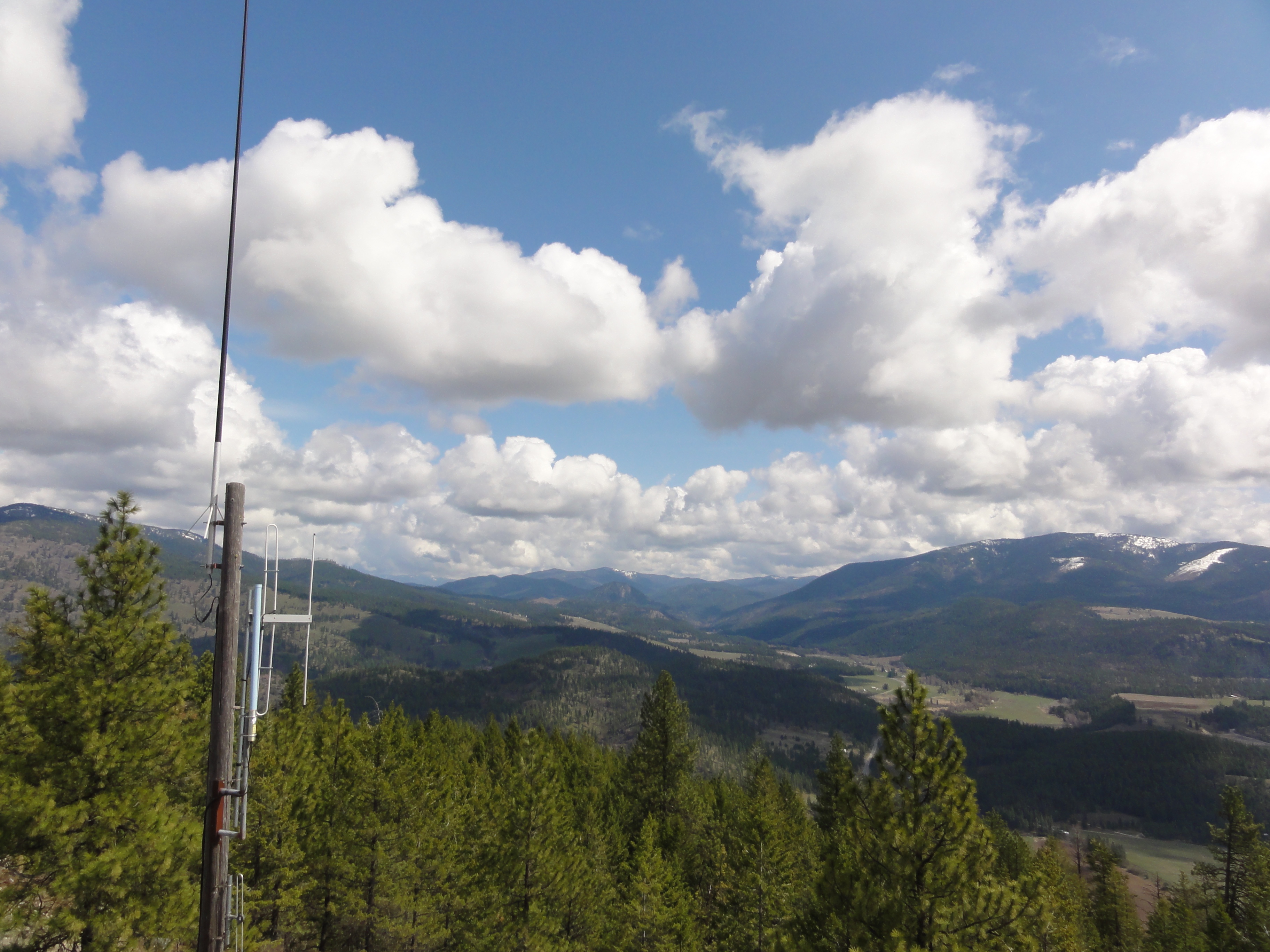
View from part way up array
View from part way up array
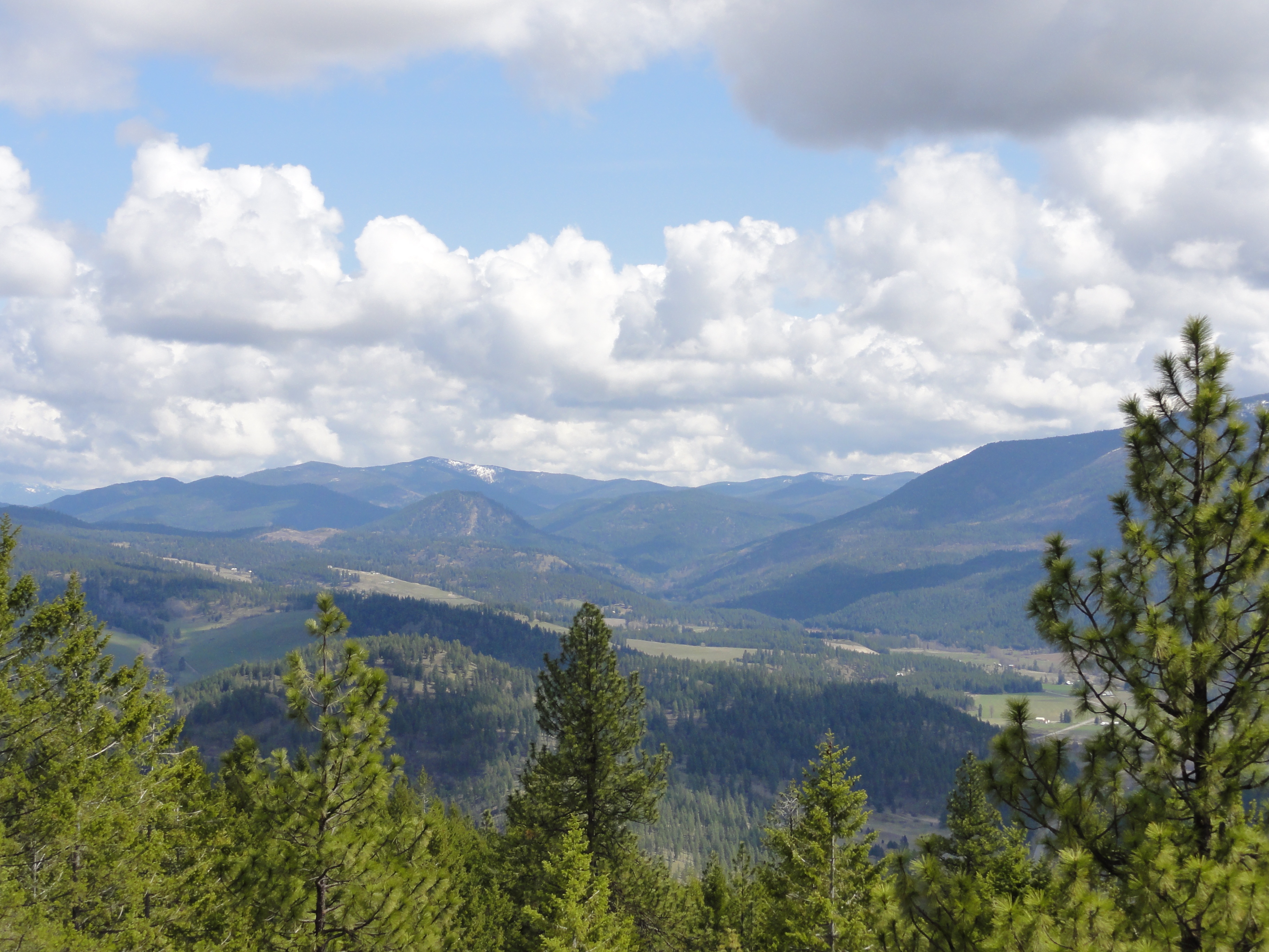
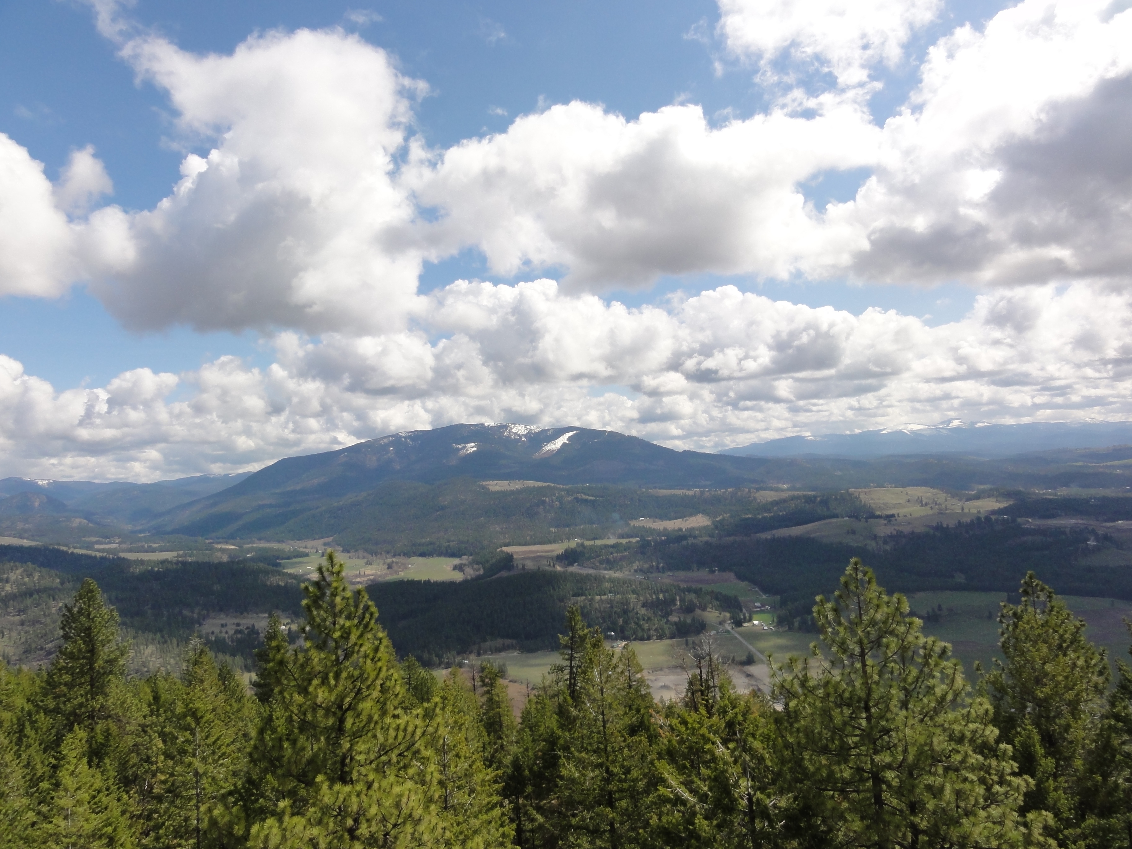
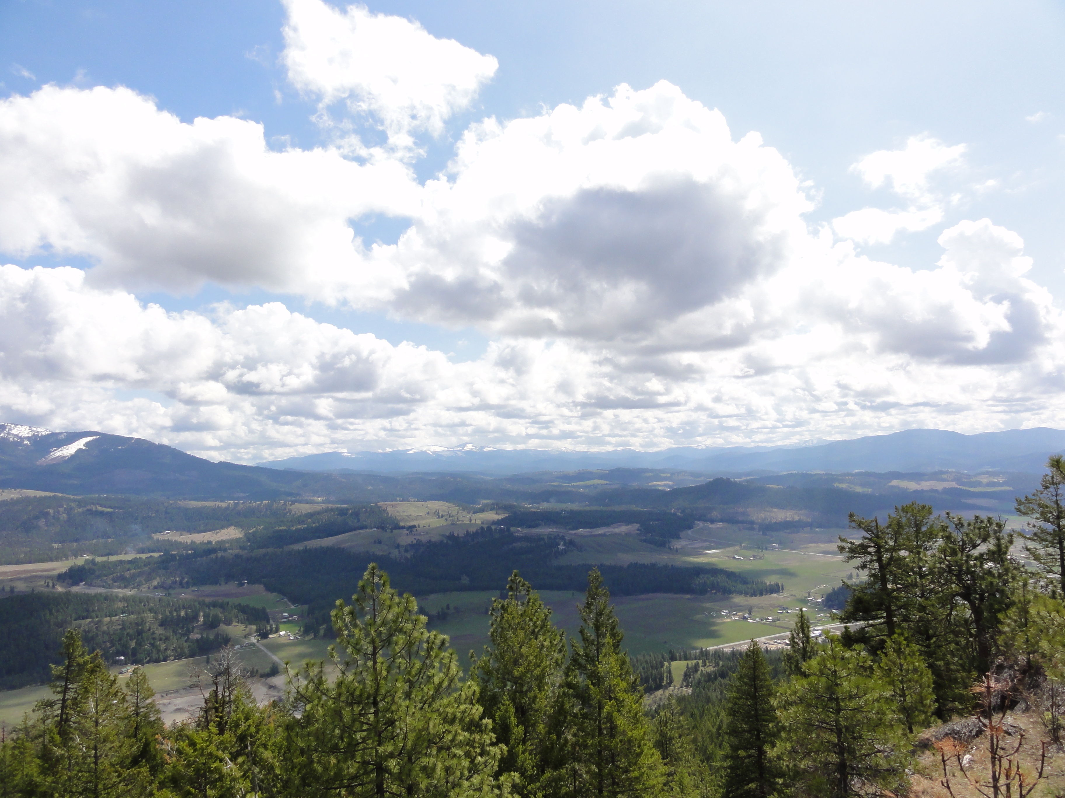
View East from Colville Mountain
View from part way up array
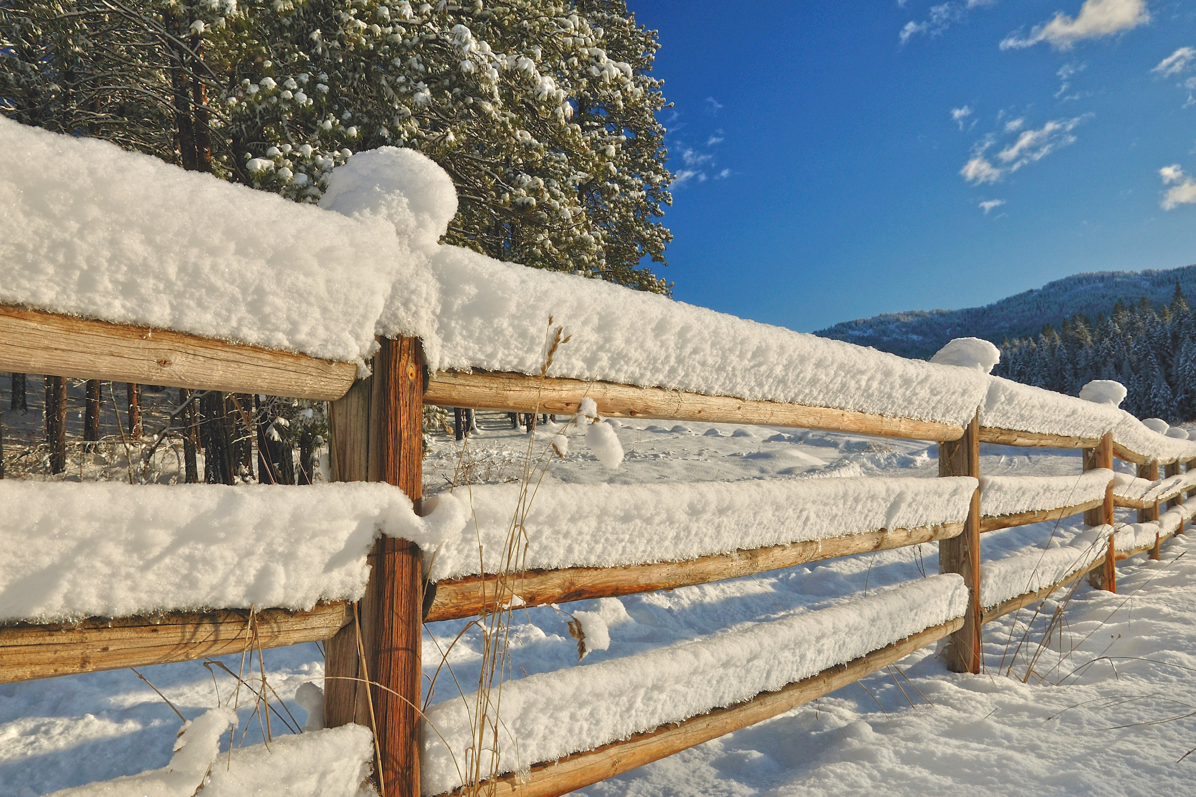
Frigid Caps
2007.07.27 Konica 004
View From Bacon Bicycle Hostel
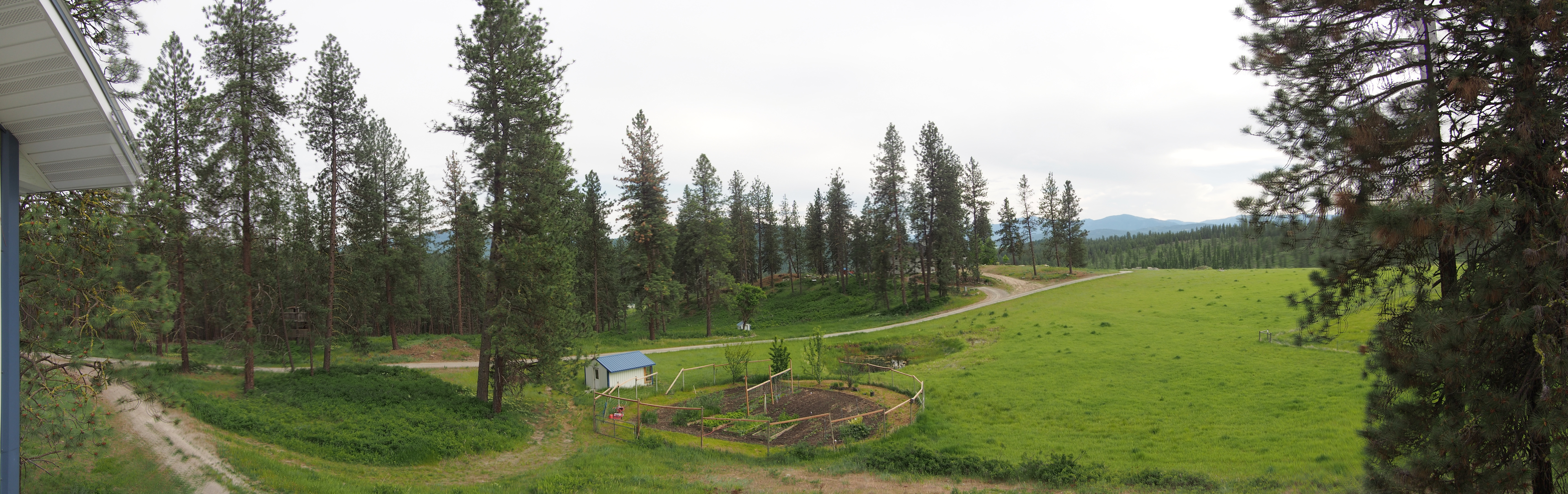
Up the hill
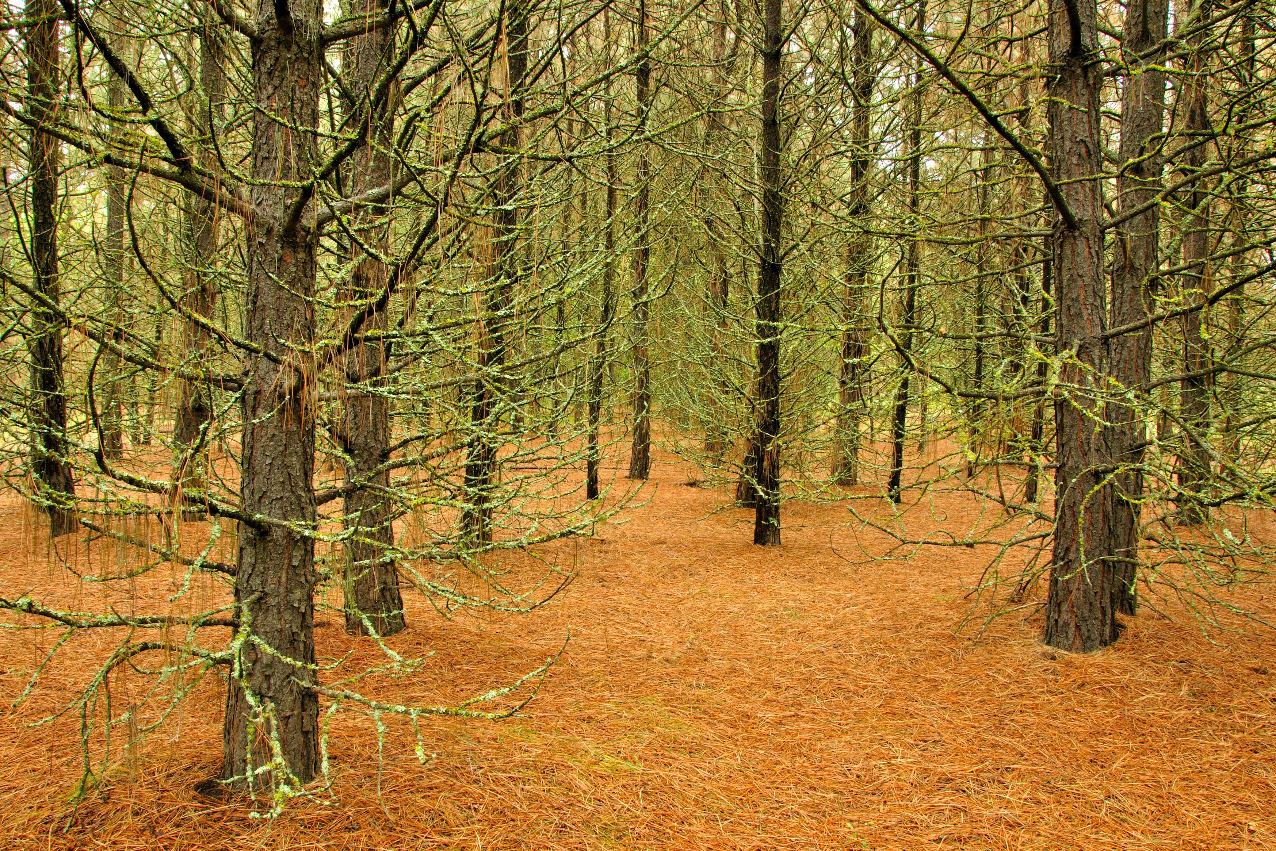
Pines ‘n’ Needles

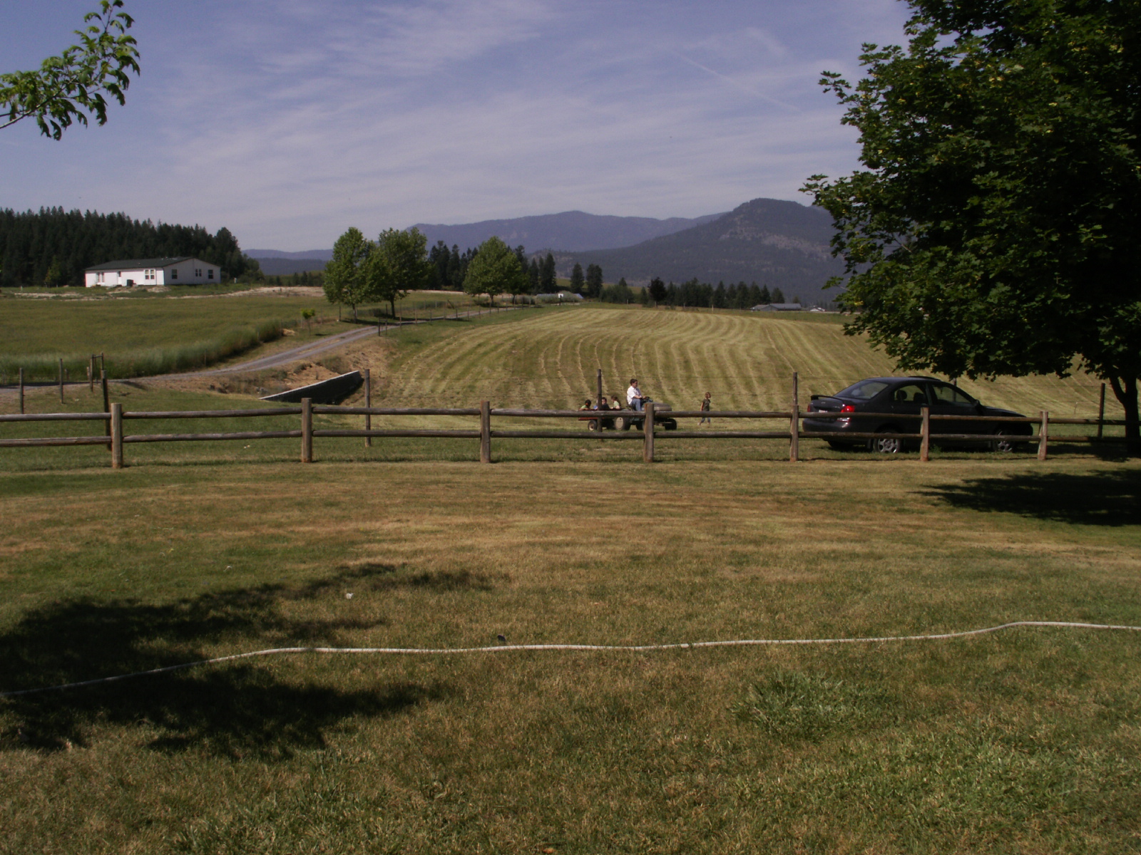
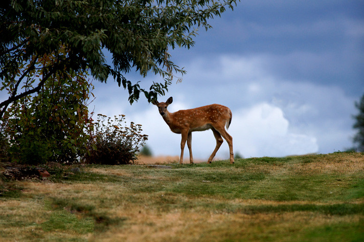
on Grass
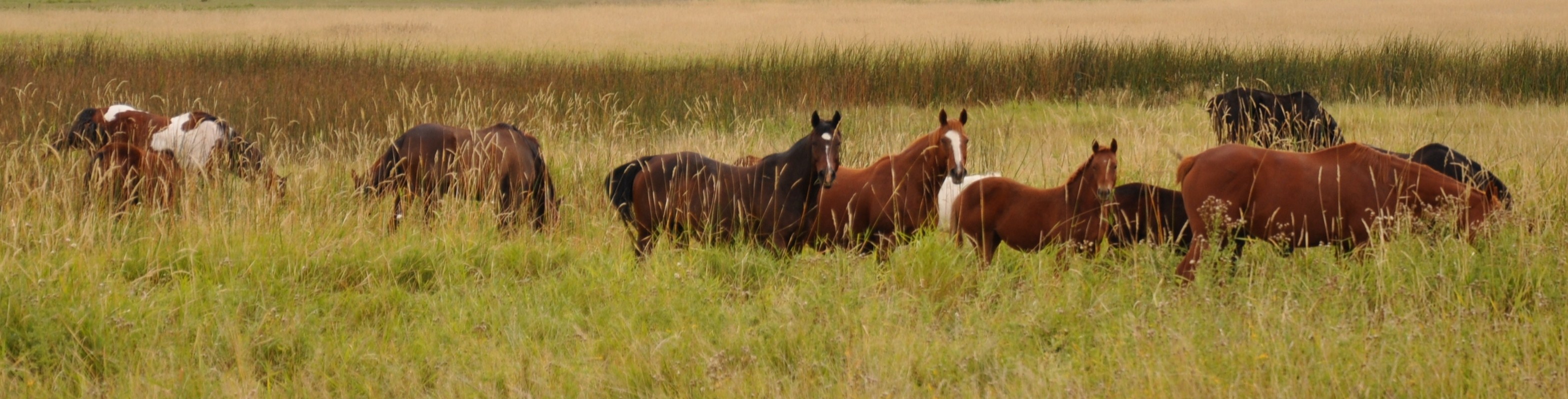
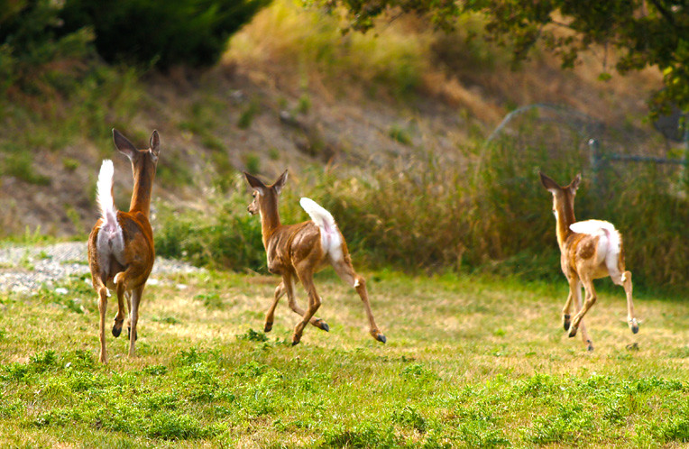
Grazing Interest
Highland Knoll

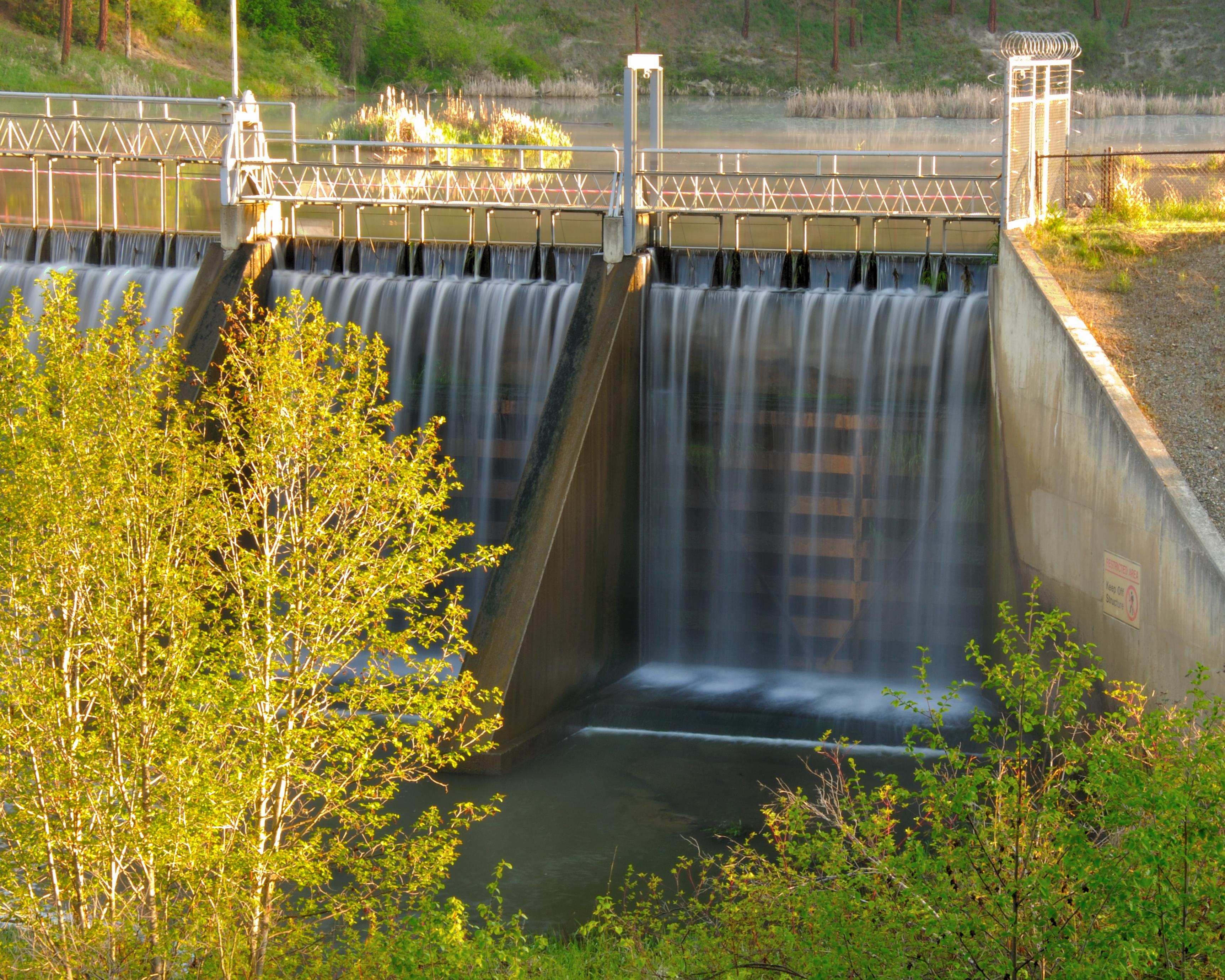
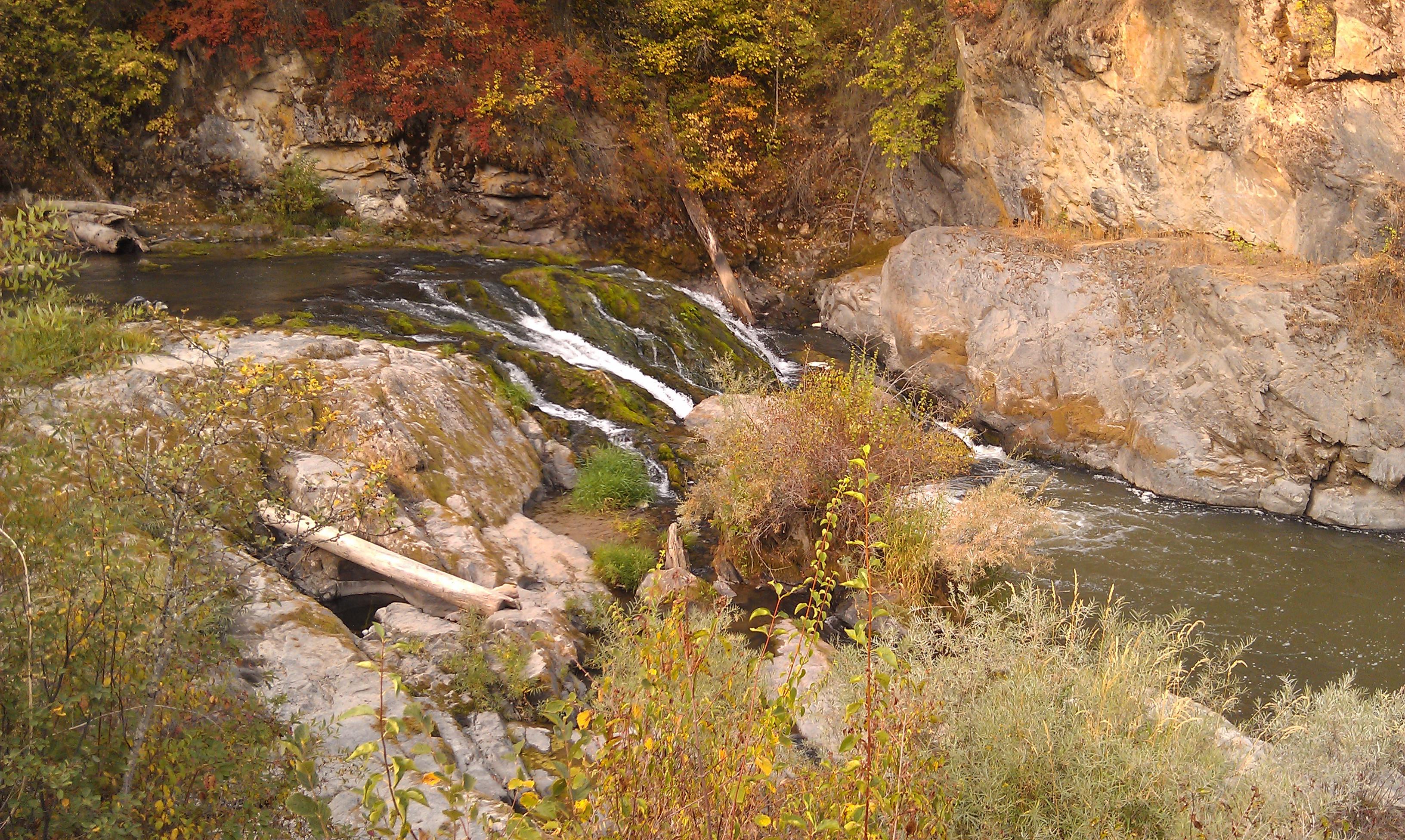
Moving Water
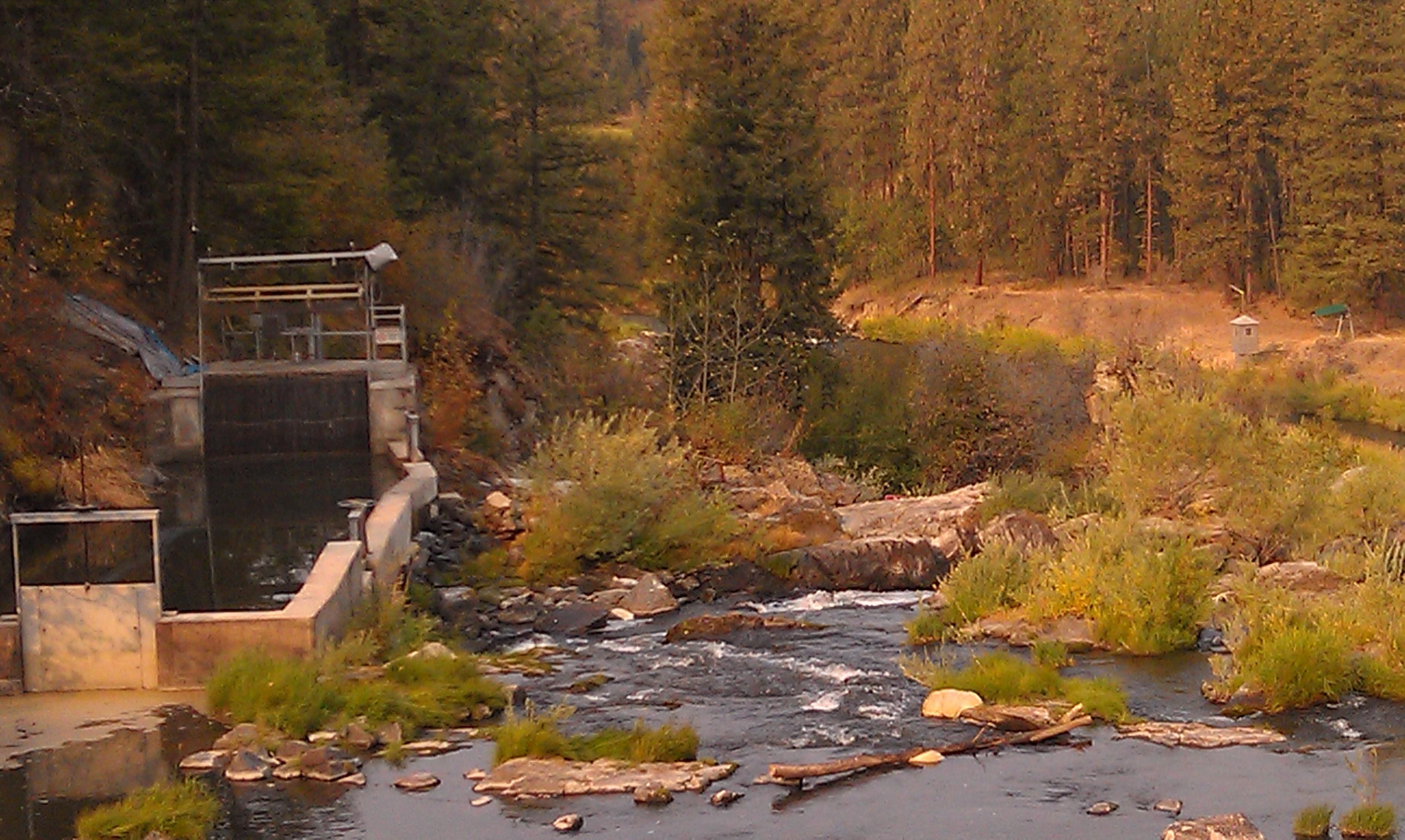
Meyers Falls Hydroelectric Development- Stevens County WA (6)
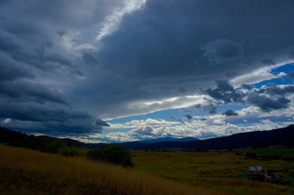
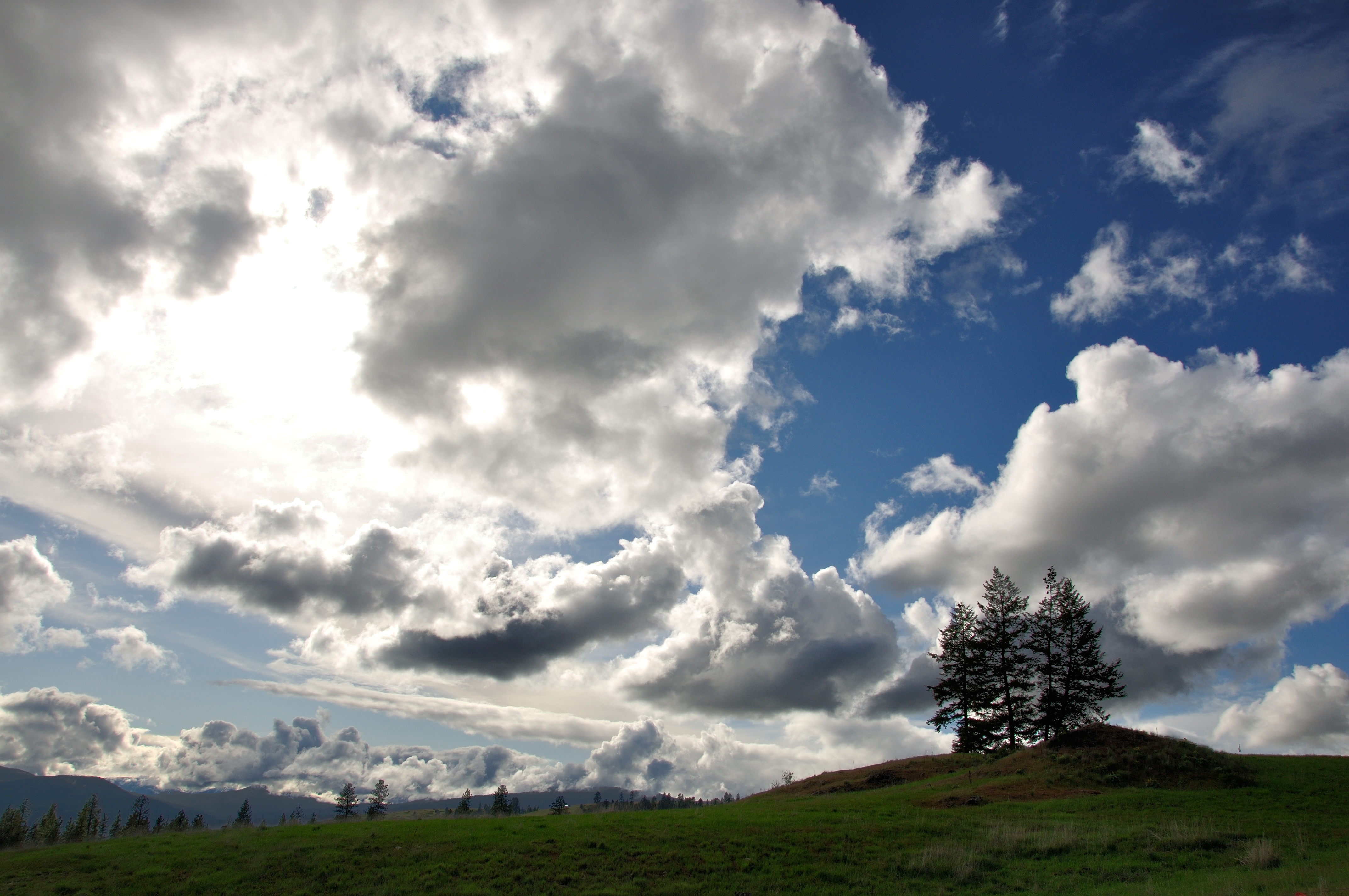
Parting Storms
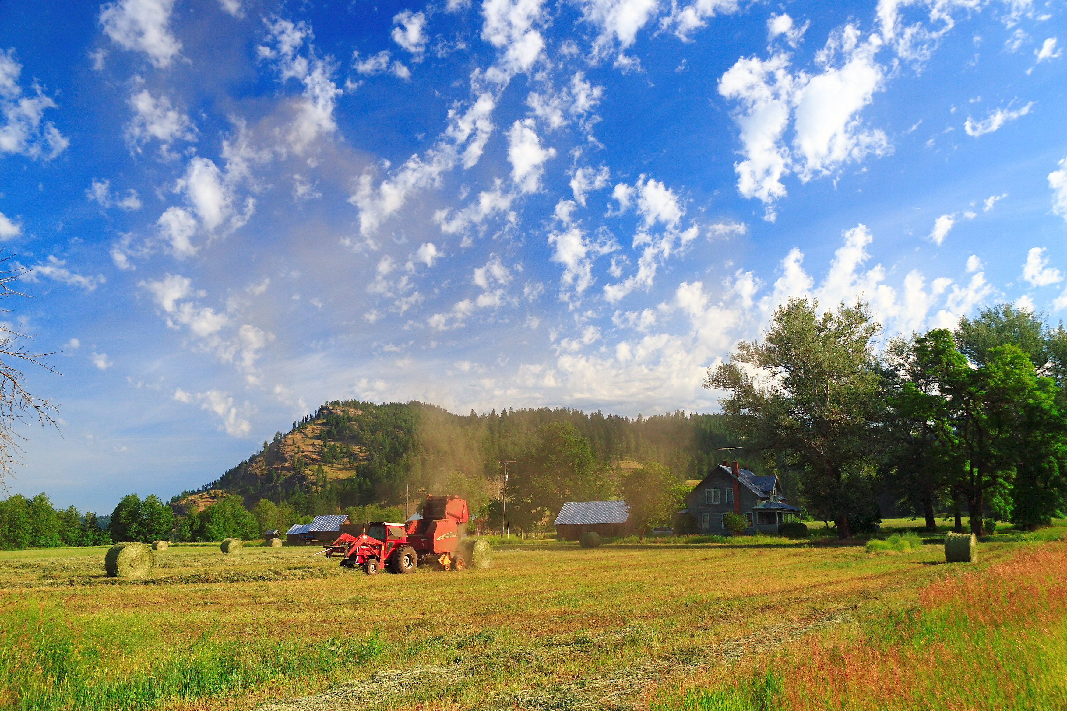
Dirty Work
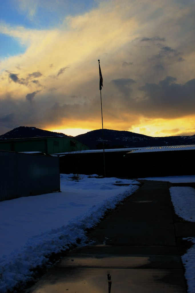
The Day's End

gbs_20100808_8846.jpg
Meyers Falls Hydroelectric Development- Stevens County WA (4)
Must be where the term.....

Perception is Reality
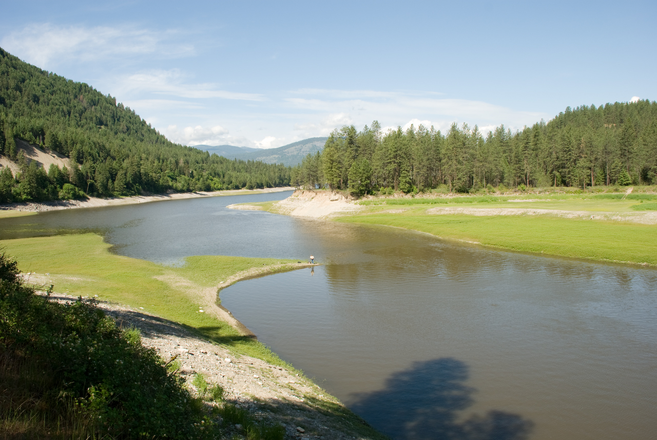
Colville River near Kettle Falls
Colville River near Kettle Falls
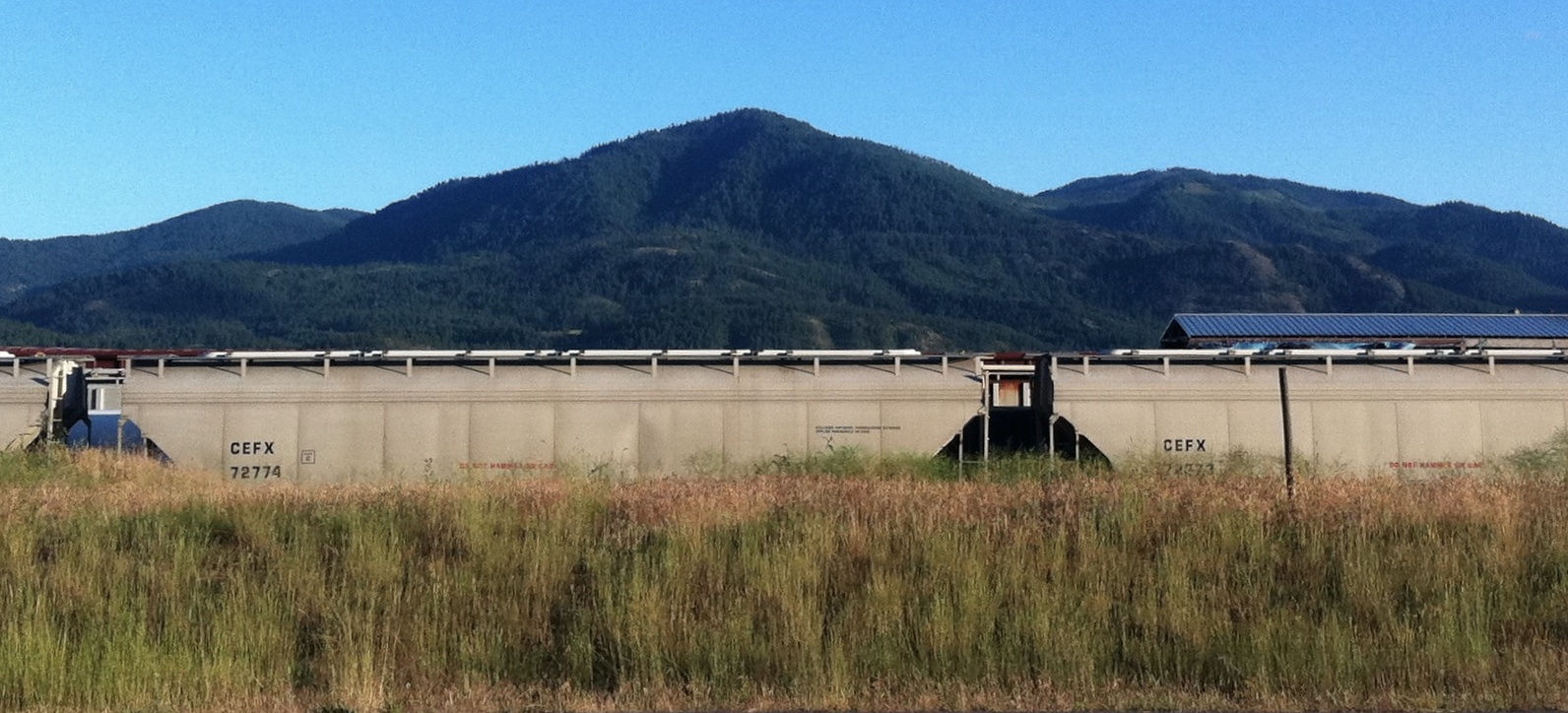
Trains in the Grass
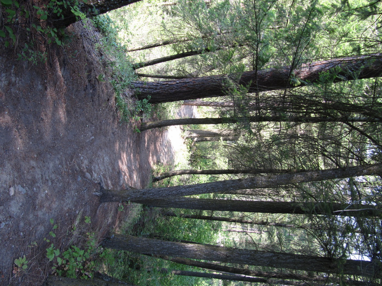
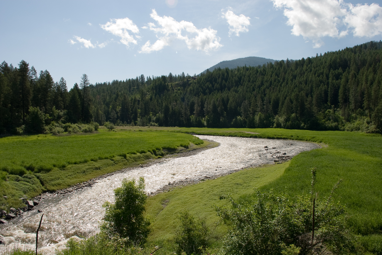
trail....
Topographic Map of Colville, WA, USA
Find elevation by address:

Places in Colville, WA, USA:
Red Top Mountain
Hooknose Mountain
Abercrombie Mountain
Aladdin Rd, Colville, WA, USA
Orin-Rice Rd, Colville, WA, USA
Washington 20
Gold Creek Loop Road
Lake Sherry Homes Drive
Places near Colville, WA, USA:
100 N Main St
839 Wa-20
256 N Wynne St
Washington 20
828 N Walnut St
259 N Wynne St
980 S Main St
Walmart Supercenter
Aladdin Rd, Colville, WA, USA
280 Corbett Creek Rd
Gold Creek Loop Road
751 Highland Loop Rd
958 Hockersmith Rd
Greenwood Loop Rd, Kettle Falls, WA, USA
Meyers Falls
Kettle Falls
1644 Bear Mountain Way B
Rickey Canyon Road
River Road
Recent Searches:
- Elevation of Corso Fratelli Cairoli, 35, Macerata MC, Italy
- Elevation of Tallevast Rd, Sarasota, FL, USA
- Elevation of 4th St E, Sonoma, CA, USA
- Elevation of Black Hollow Rd, Pennsdale, PA, USA
- Elevation of Oakland Ave, Williamsport, PA, USA
- Elevation of Pedrógão Grande, Portugal
- Elevation of Klee Dr, Martinsburg, WV, USA
- Elevation of Via Roma, Pieranica CR, Italy
- Elevation of Tavkvetili Mountain, Georgia
- Elevation of Hartfords Bluff Cir, Mt Pleasant, SC, USA