Elevation of Washington 20, WA-20, Colville, WA, USA
Location: United States > Washington > Colville >
Longitude: -117.90613
Latitude: 48.5485071
Elevation: 490m / 1608feet
Barometric Pressure: 96KPa
Elevation Map:
Satellite Map:
Related Photos:
Show Case
Remembering Evergreen
Frigid Caps
Tweaks Evil
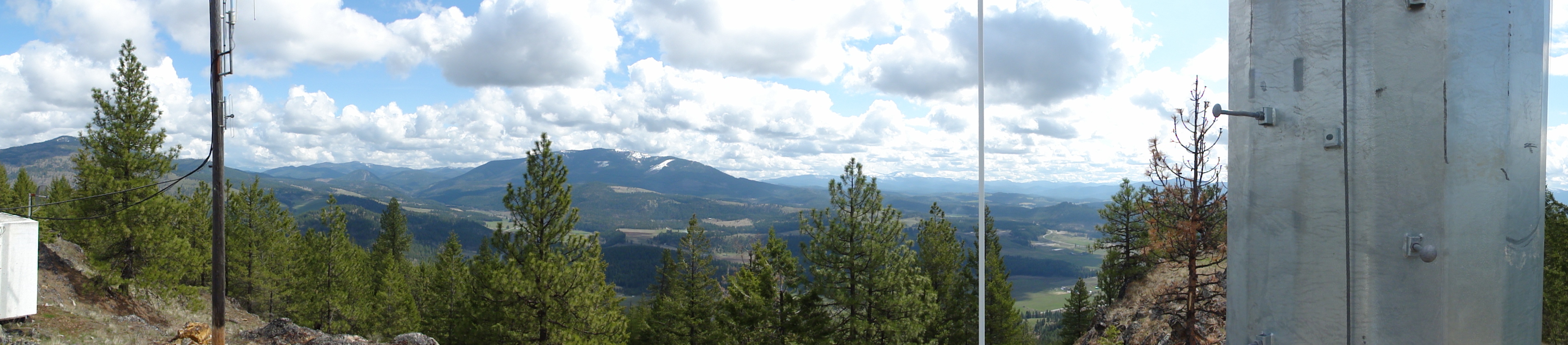
View from metal walkway
View from metal walkway
View from metal walkway
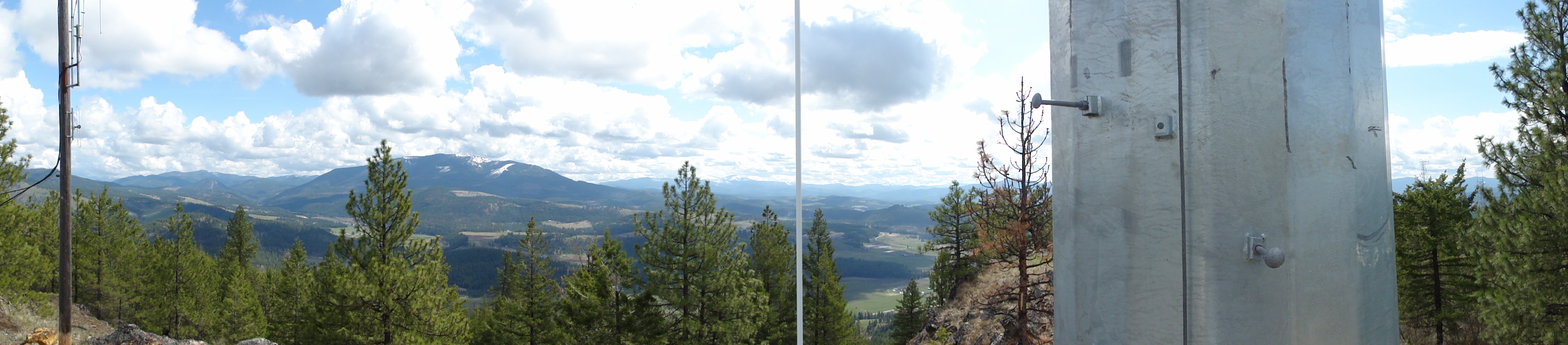
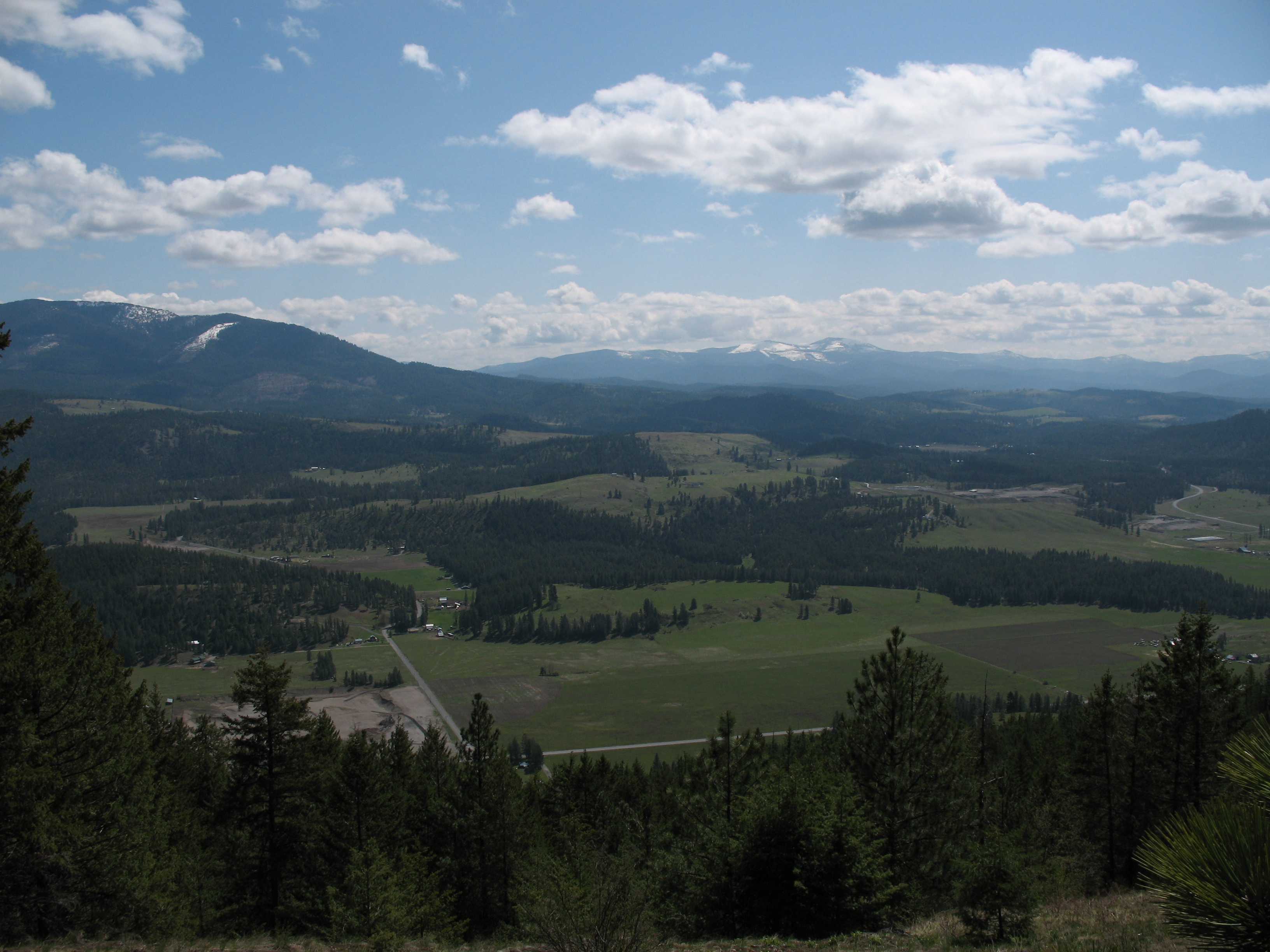
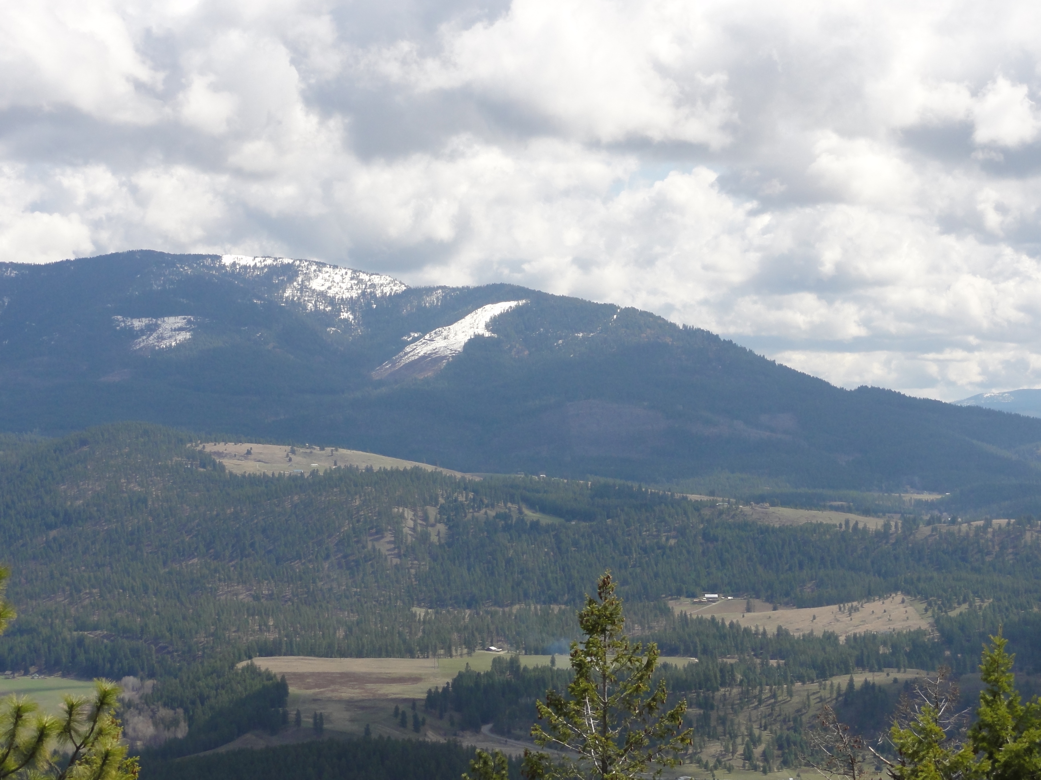
View from part way up array
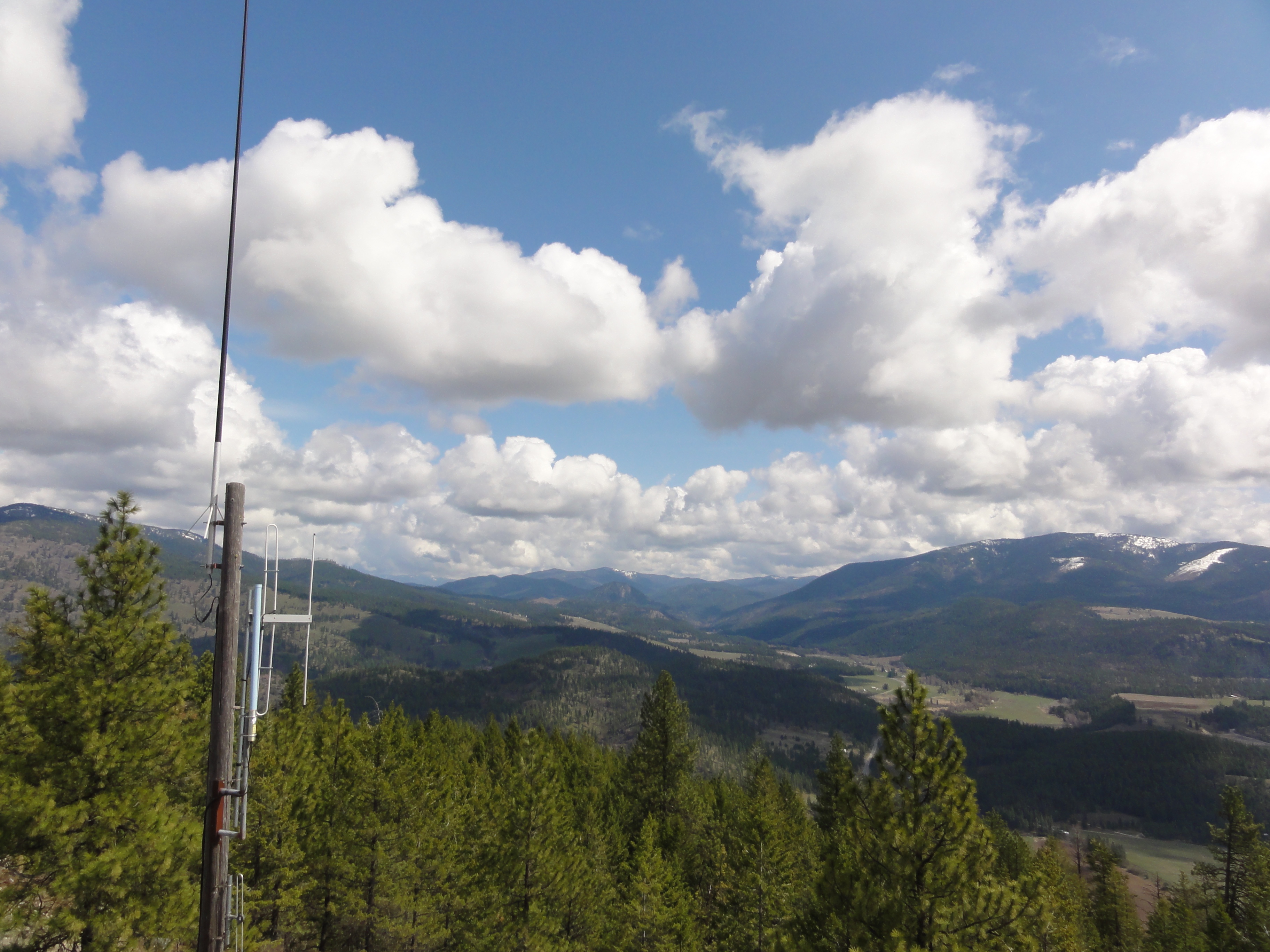
View from part way up array
View from part way up array
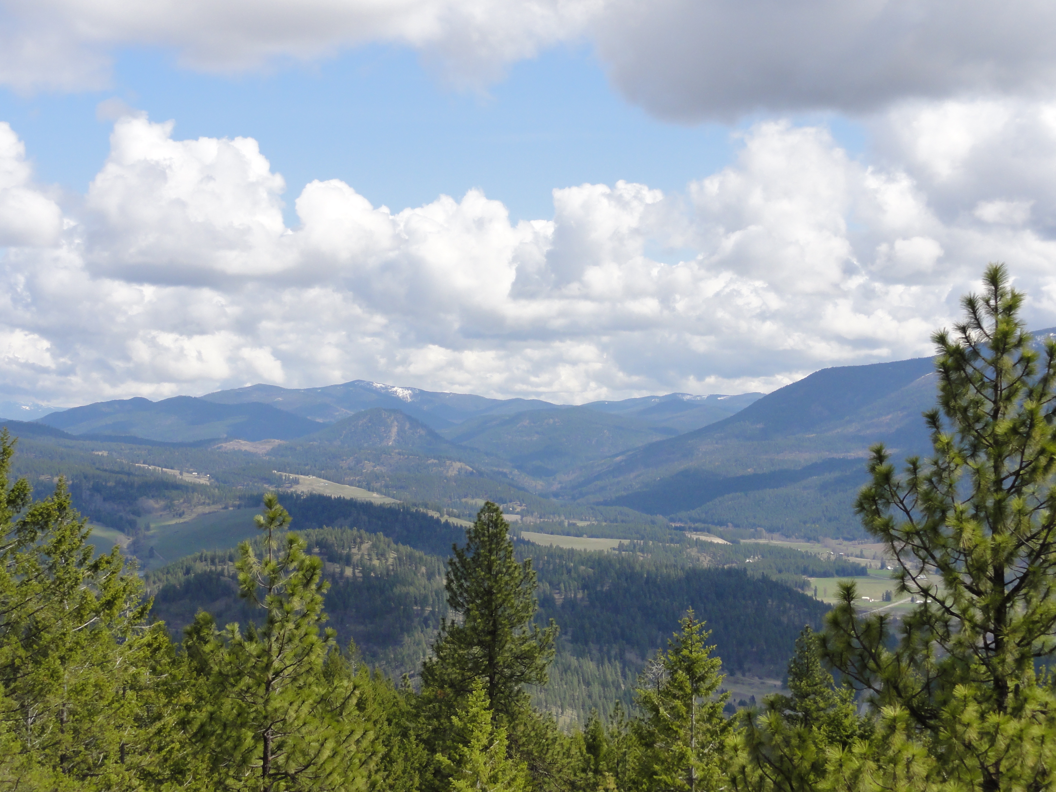
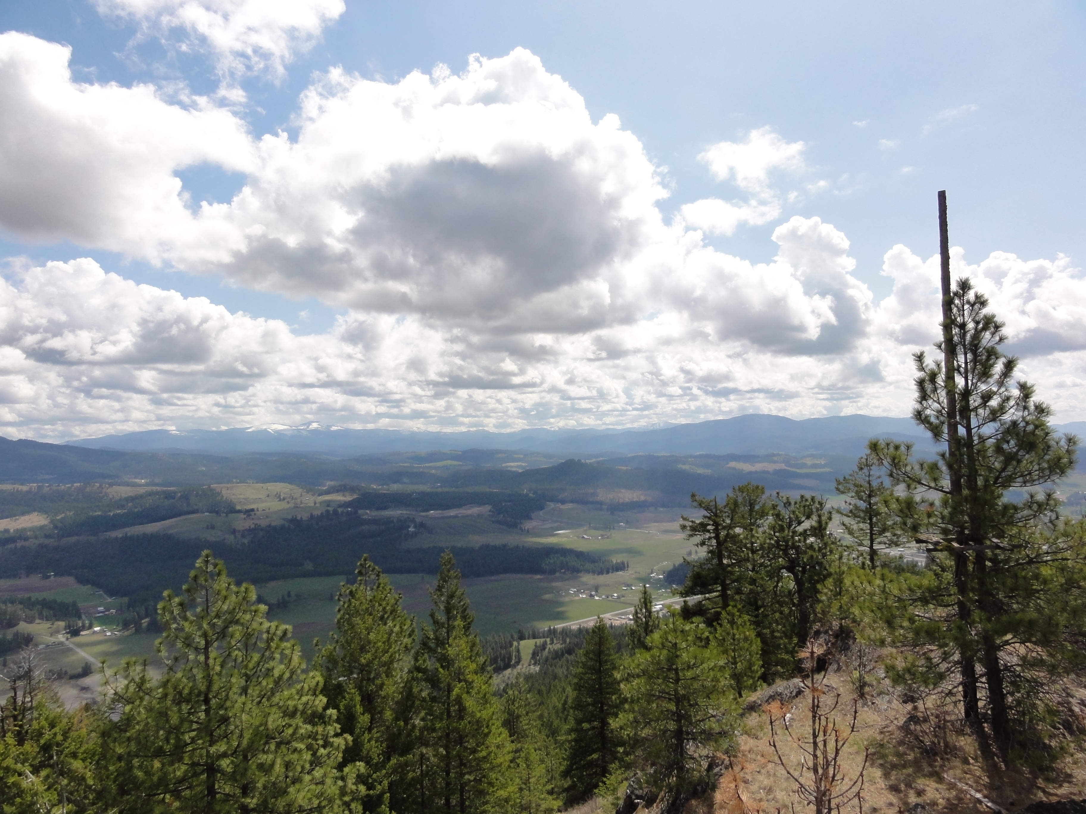
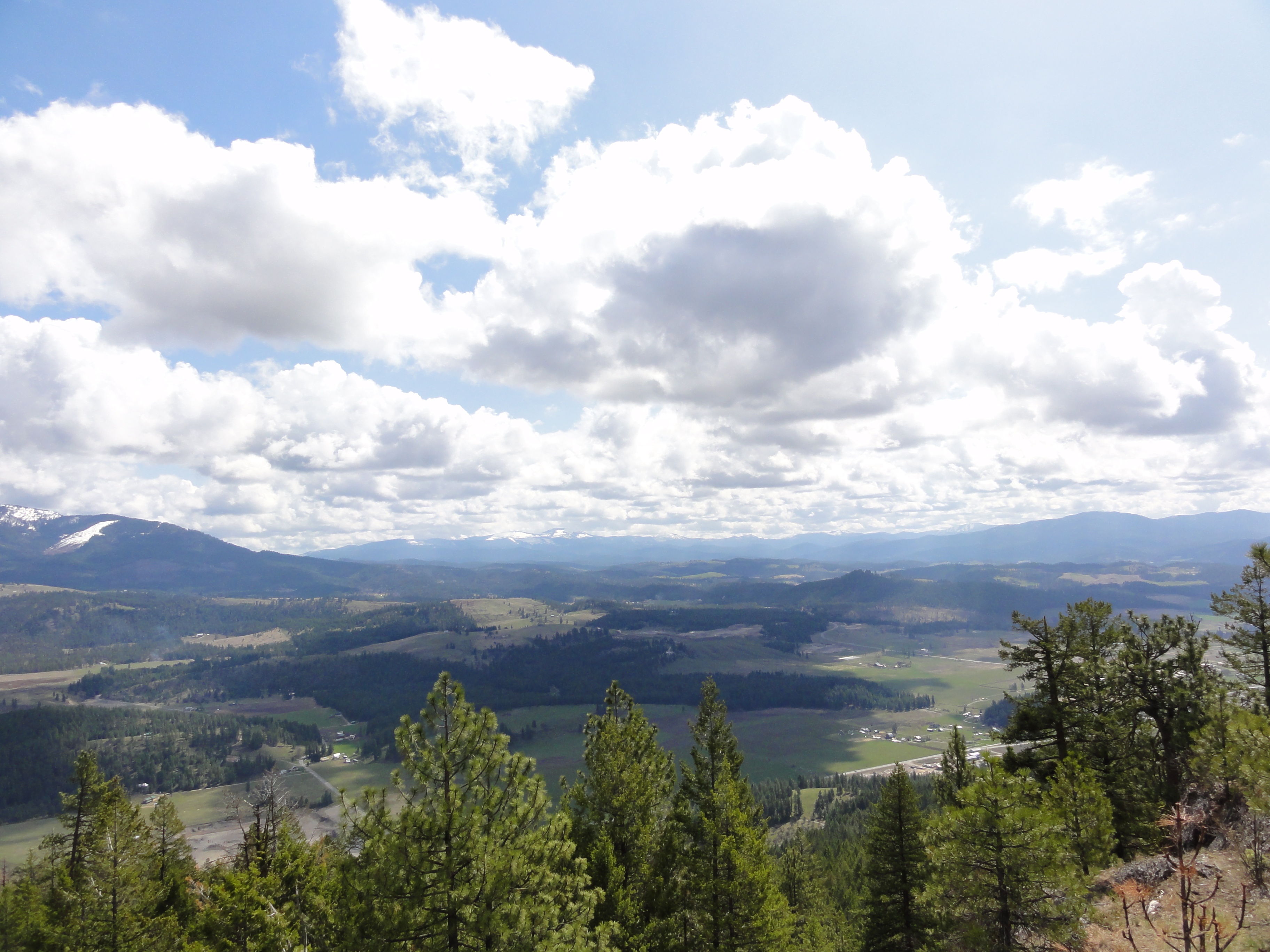
View East from Colville Mountain
View from part way up array
View from part way up array
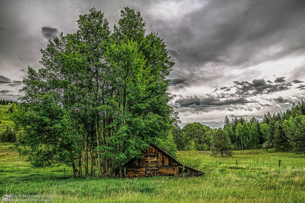
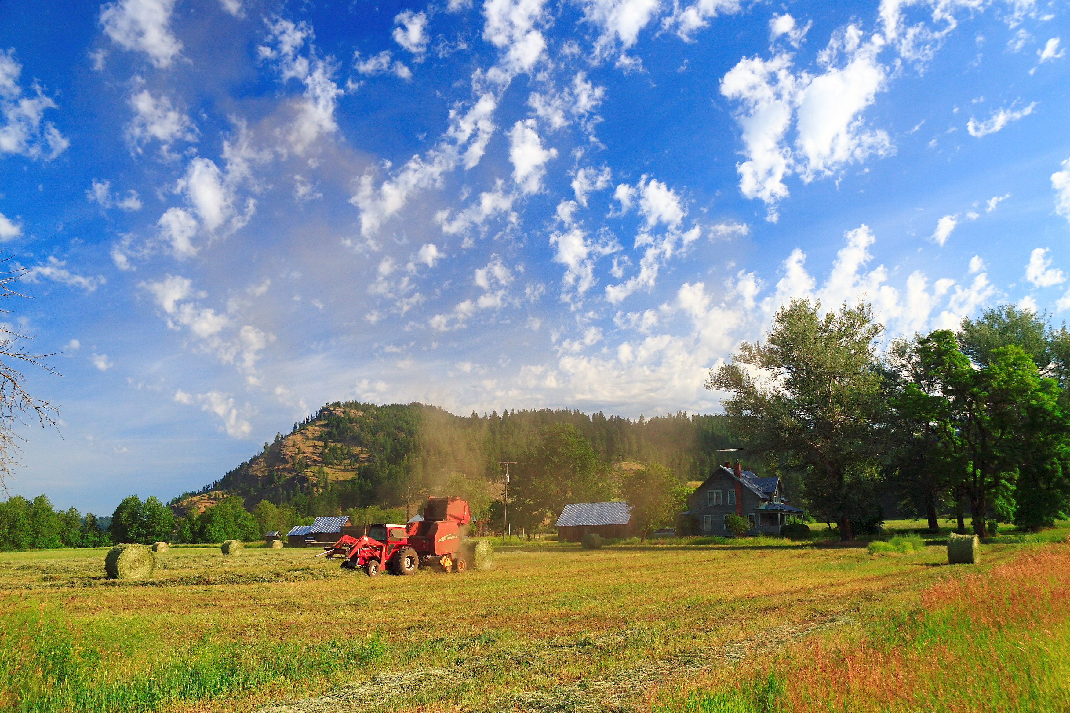
Barn - Colville, Washington
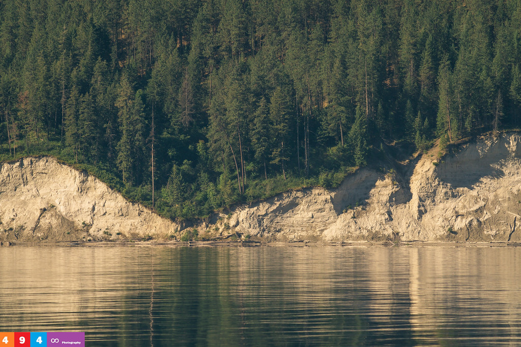
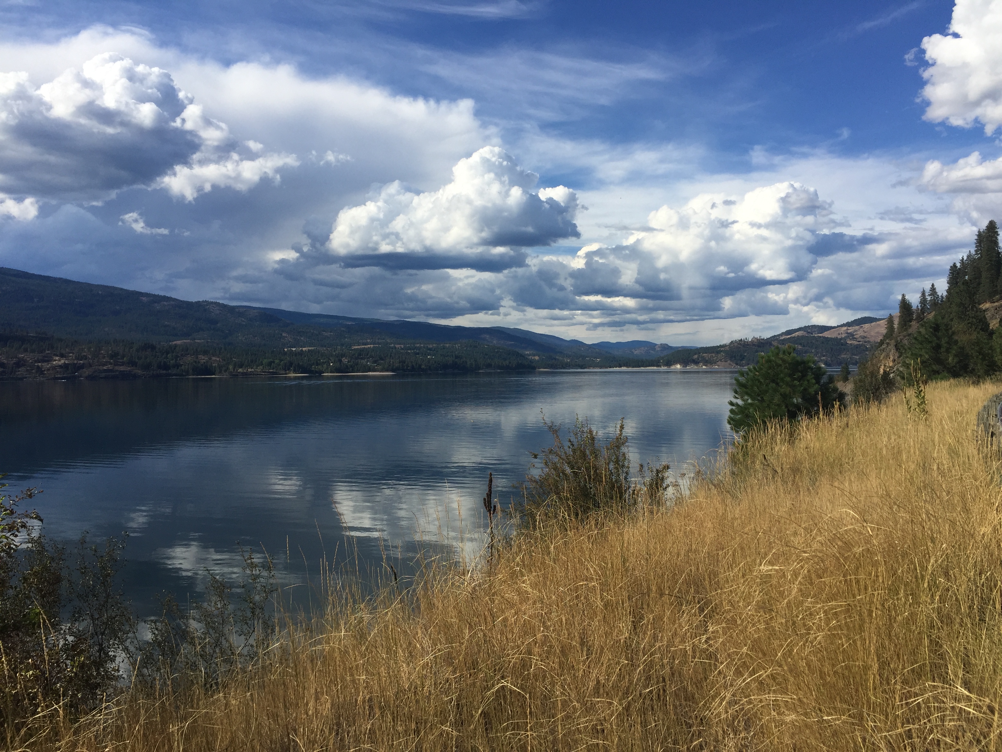
Gentle Ripples On The Lake
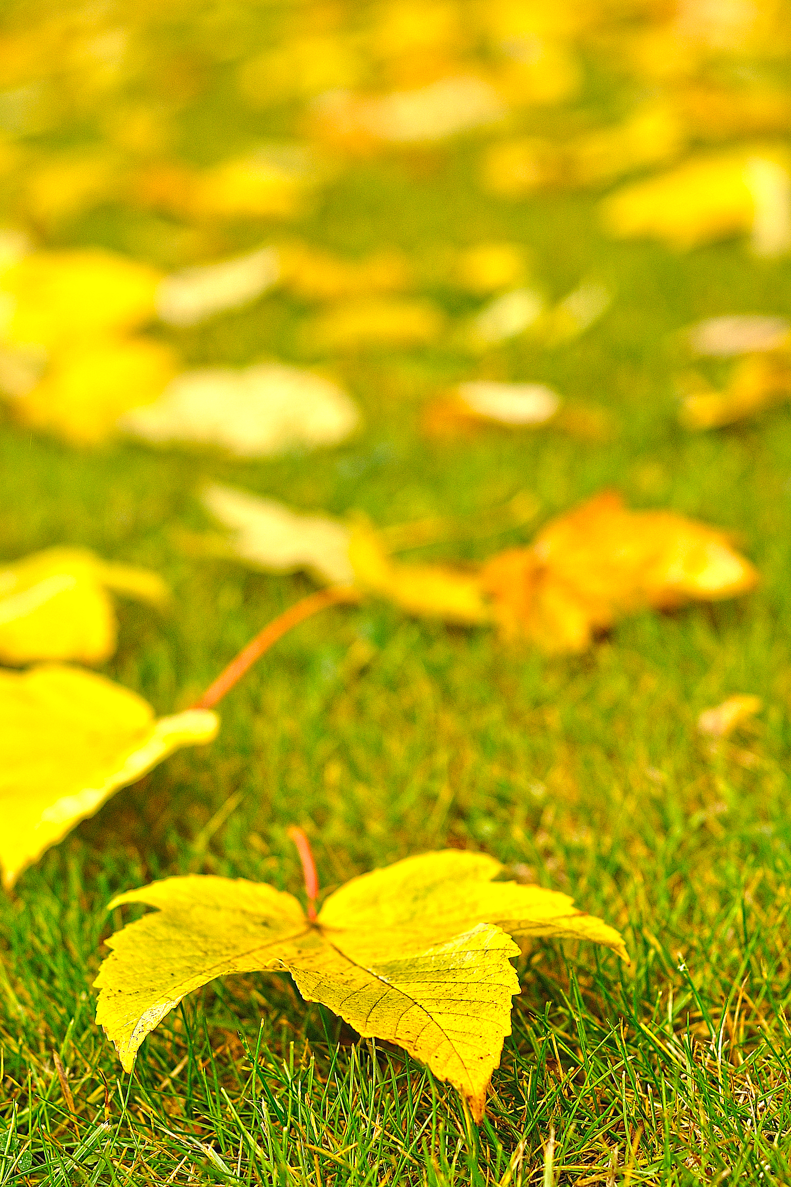
on Grass

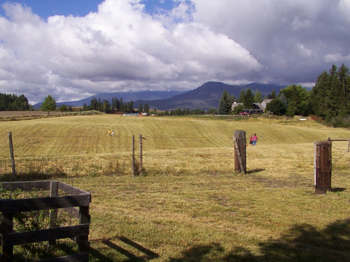
My Home
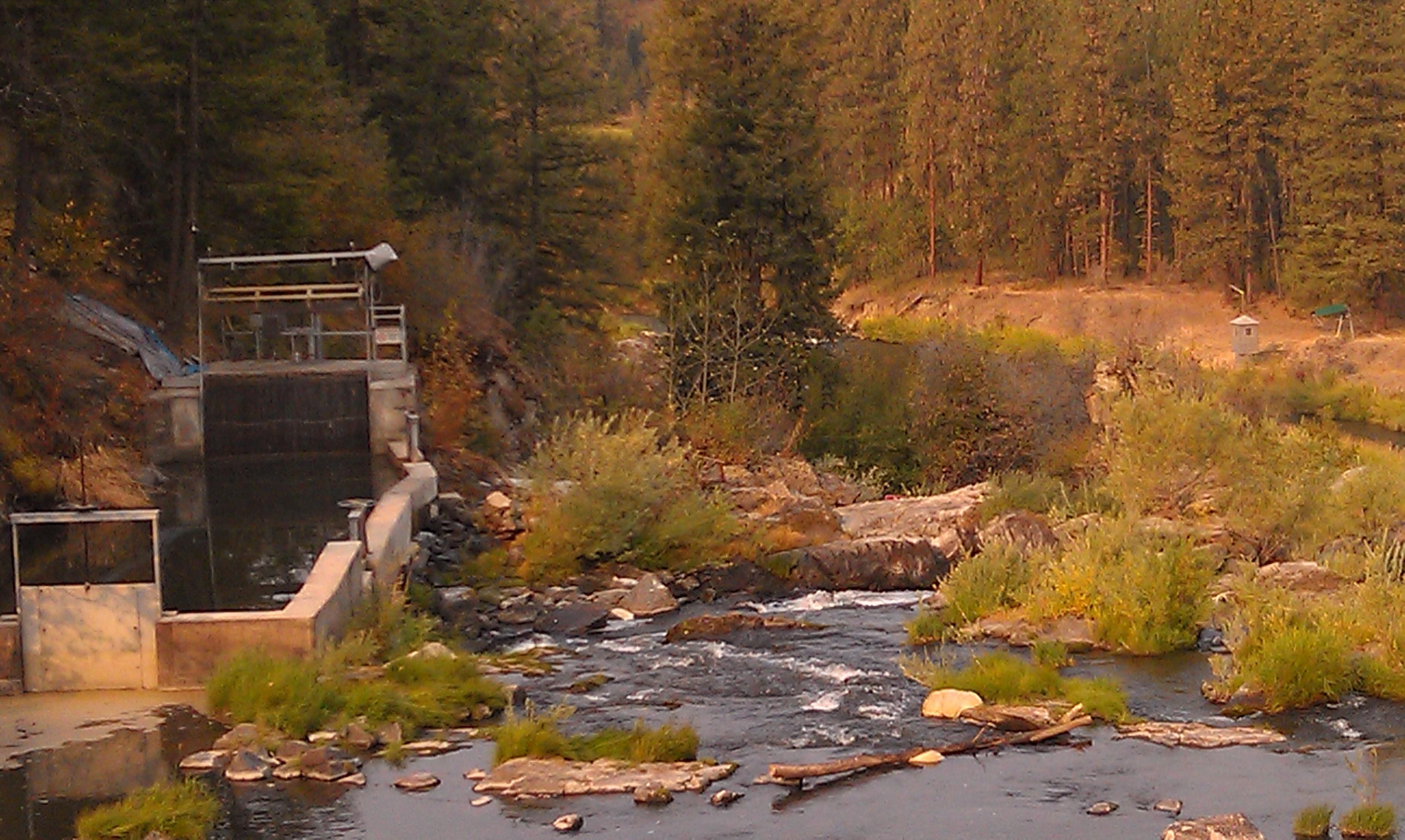
Meyers Falls Hydroelectric Development- Stevens County WA (6)
Up the hill
Meyers Falls Hydroelectric Development- Stevens County WA (4)
20040813 021
Kettle Falls, WA facing north up the Columbia River.
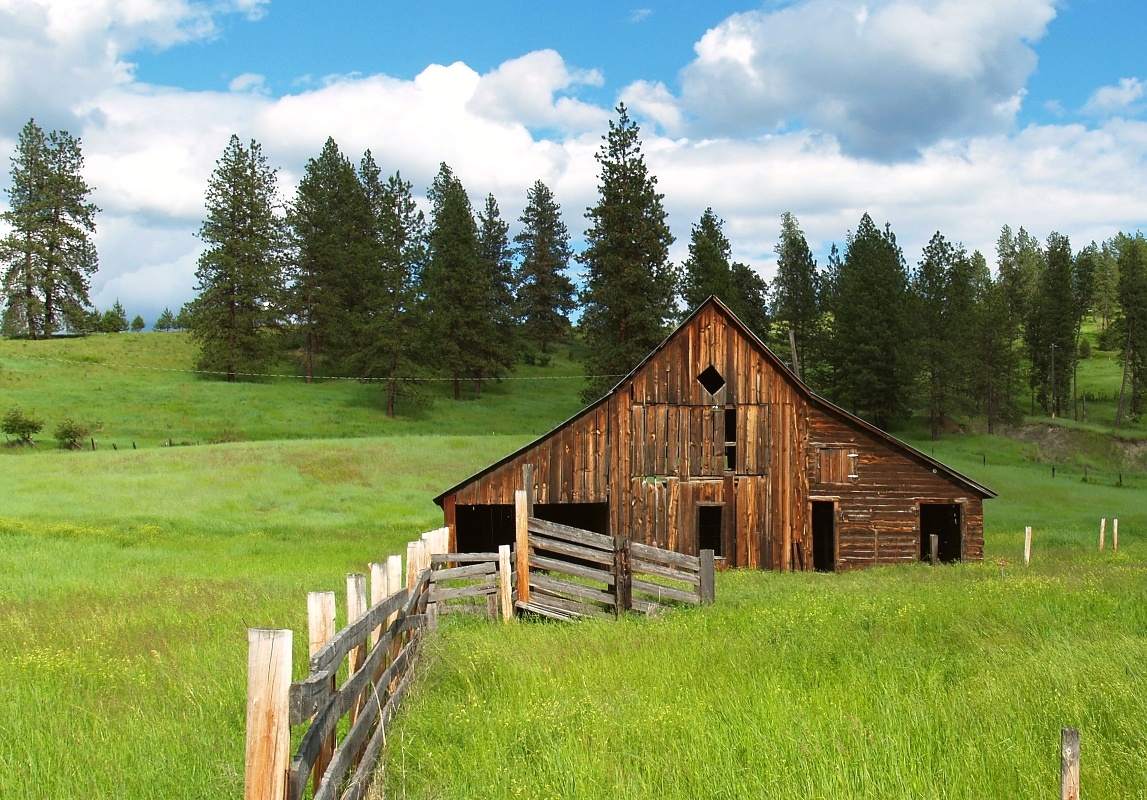
Country Barn
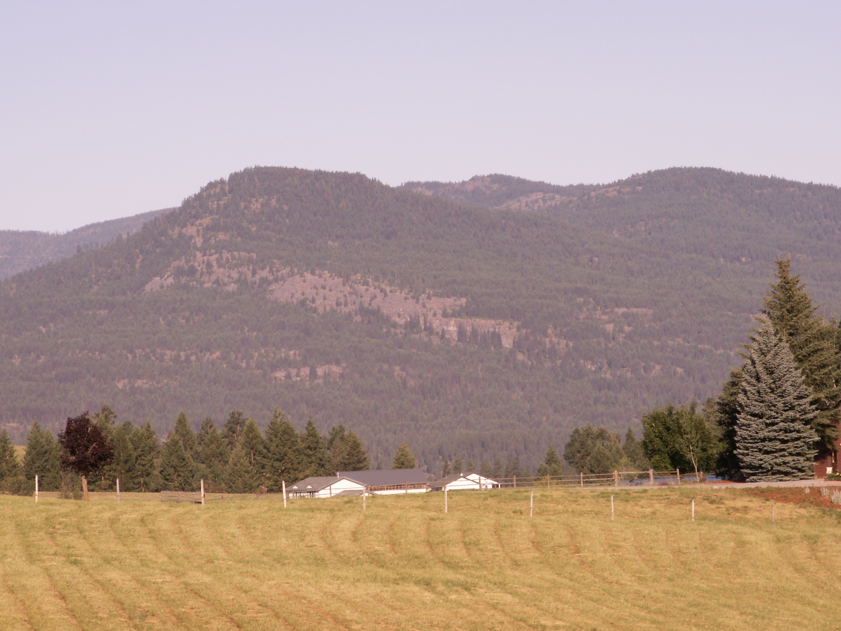
Highland Knoll
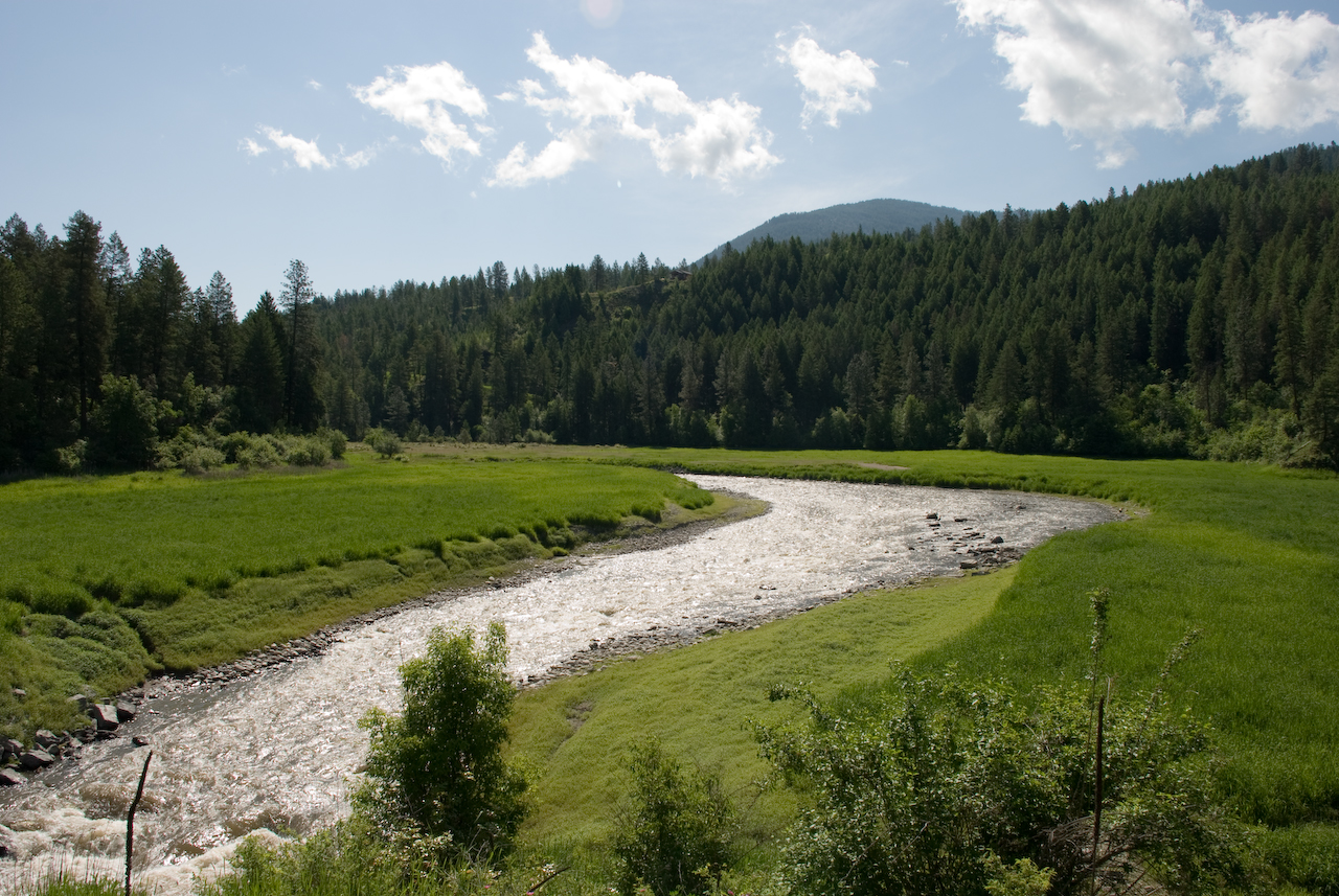
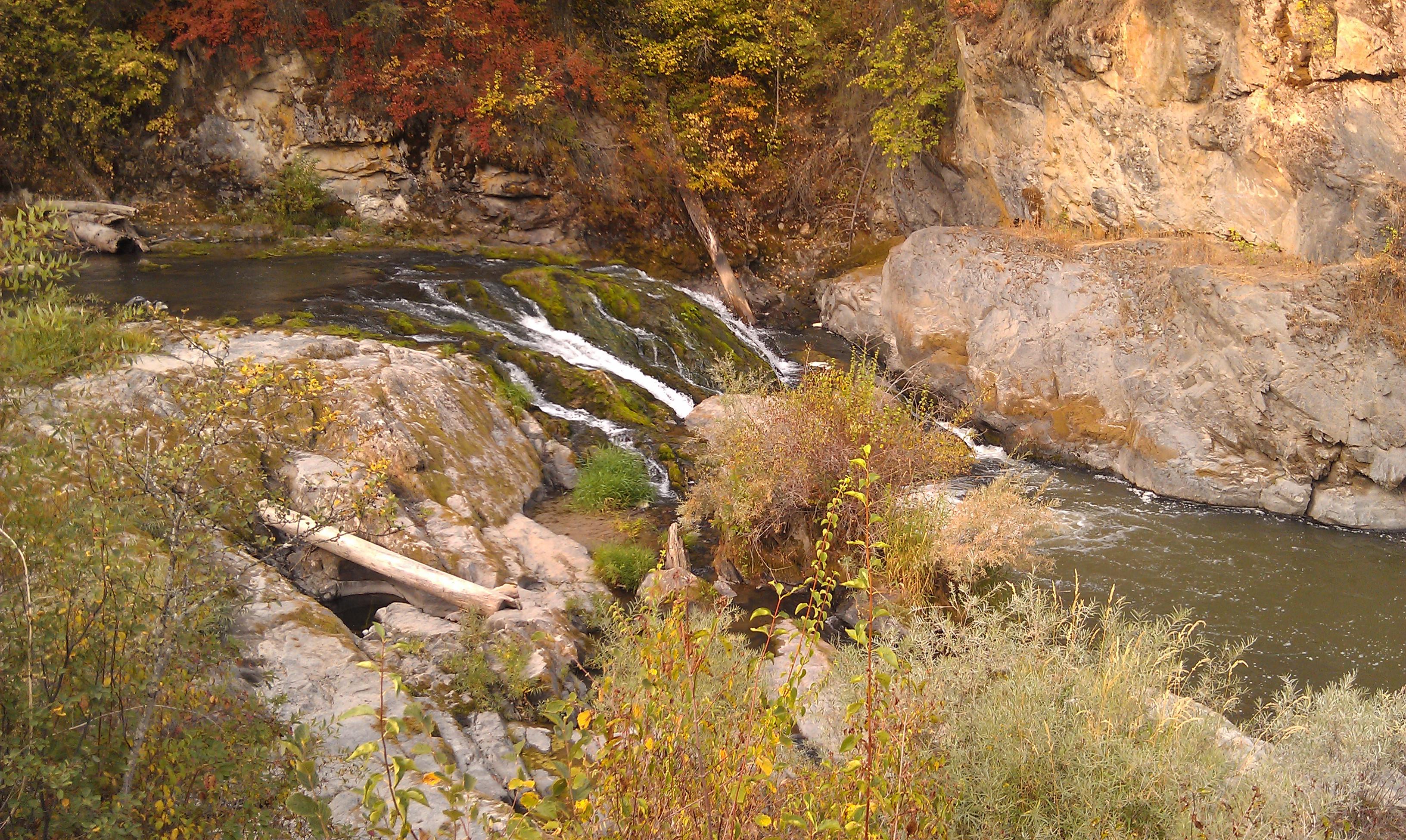
Colville River near Kettle Falls
20040813 019

Perception is Reality
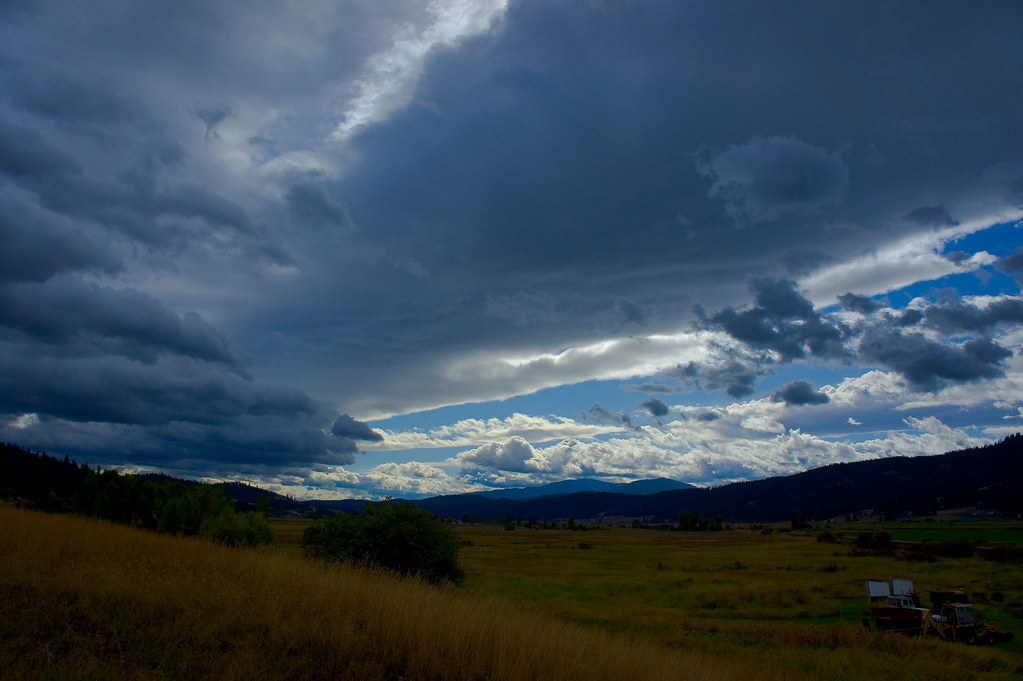
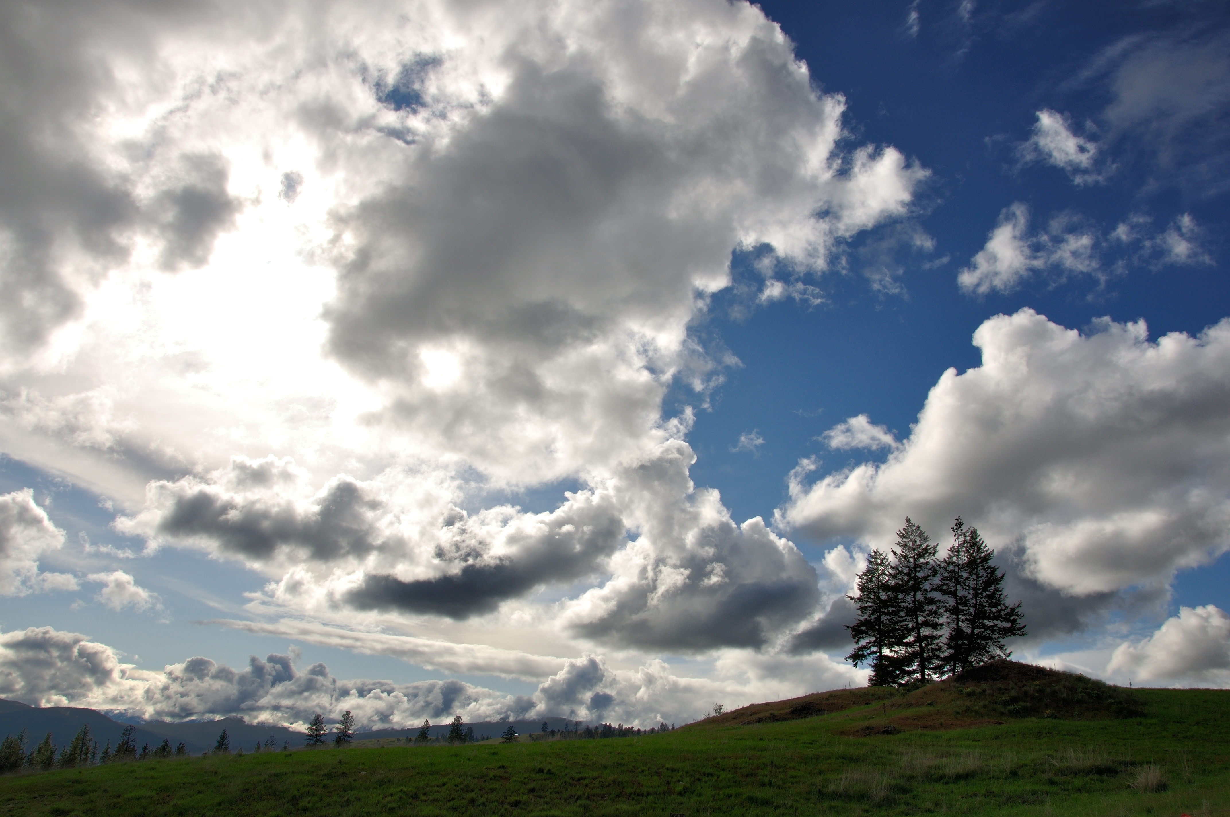
Parting Storms
20040813 020
2006.08.27 Konica 039

2016-04-20 08;22;17
Dirty Work
2006.08.27 Konica 025

2016-04-20 09;23;52
Topographic Map of Washington 20, WA-20, Colville, WA, USA
Find elevation by address:

Places near Washington 20, WA-20, Colville, WA, USA:
256 N Wynne St
259 N Wynne St
100 N Main St
Colville
828 N Walnut St
Walmart Supercenter
839 Wa-20
980 S Main St
Aladdin Rd, Colville, WA, USA
280 Corbett Creek Rd
Gold Creek Loop Road
751 Highland Loop Rd
958 Hockersmith Rd
Greenwood Loop Rd, Kettle Falls, WA, USA
Meyers Falls
Kettle Falls
1644 Bear Mountain Way B
Rickey Canyon Road
River Road
Recent Searches:
- Elevation of 62 Abbey St, Marshfield, MA, USA
- Elevation of Fernwood, Bradenton, FL, USA
- Elevation of Felindre, Swansea SA5 7LU, UK
- Elevation of Leyte Industrial Development Estate, Isabel, Leyte, Philippines
- Elevation of W Granada St, Tampa, FL, USA
- Elevation of Pykes Down, Ivybridge PL21 0BY, UK
- Elevation of Jalan Senandin, Lutong, Miri, Sarawak, Malaysia
- Elevation of Bilohirs'k
- Elevation of 30 Oak Lawn Dr, Barkhamsted, CT, USA
- Elevation of Luther Road, Luther Rd, Auburn, CA, USA