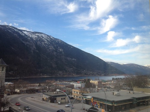
Elevation of Abercrombie Mountain, Washington, USA
Location: United States > Washington > Colville >
Longitude: -117.45913
Latitude: 48.9282528
Elevation: 2142m / 7028feet
Barometric Pressure: 78KPa
Related Photos:
Topographic Map of Abercrombie Mountain, Washington, USA
Find elevation by address:

Places near Abercrombie Mountain, Washington, USA:
Hooknose Mountain
Red Top Mountain
Metaline Falls
Crawford State Park
Boundary Access Road
3918 Cedar Creek Rd
Boundary Dam
Kootenay Boundary A
Nelway
Pend D'Oreille Rd, Fruitvale, BC V0G 1L1, Canada
Mcleod Road
Cedar Creek Road
Ione
1550 Bc-3b
1807 Columbia Gardens Rd
Montrose
290 8th Ave
1691 1 St
Fruitvale
250 Rosebud Lake Rd
Recent Searches:
- Elevation of Corso Fratelli Cairoli, 35, Macerata MC, Italy
- Elevation of Tallevast Rd, Sarasota, FL, USA
- Elevation of 4th St E, Sonoma, CA, USA
- Elevation of Black Hollow Rd, Pennsdale, PA, USA
- Elevation of Oakland Ave, Williamsport, PA, USA
- Elevation of Pedrógão Grande, Portugal
- Elevation of Klee Dr, Martinsburg, WV, USA
- Elevation of Via Roma, Pieranica CR, Italy
- Elevation of Tavkvetili Mountain, Georgia
- Elevation of Hartfords Bluff Cir, Mt Pleasant, SC, USA
