Elevation of Walmart Supercenter, N Hwy, Colville, WA, USA
Location: United States > Washington > Colville >
Longitude: -117.91519
Latitude: 48.553786
Elevation: 480m / 1575feet
Barometric Pressure: 96KPa
Elevation Map:
Satellite Map:
Related Photos:

Show Case
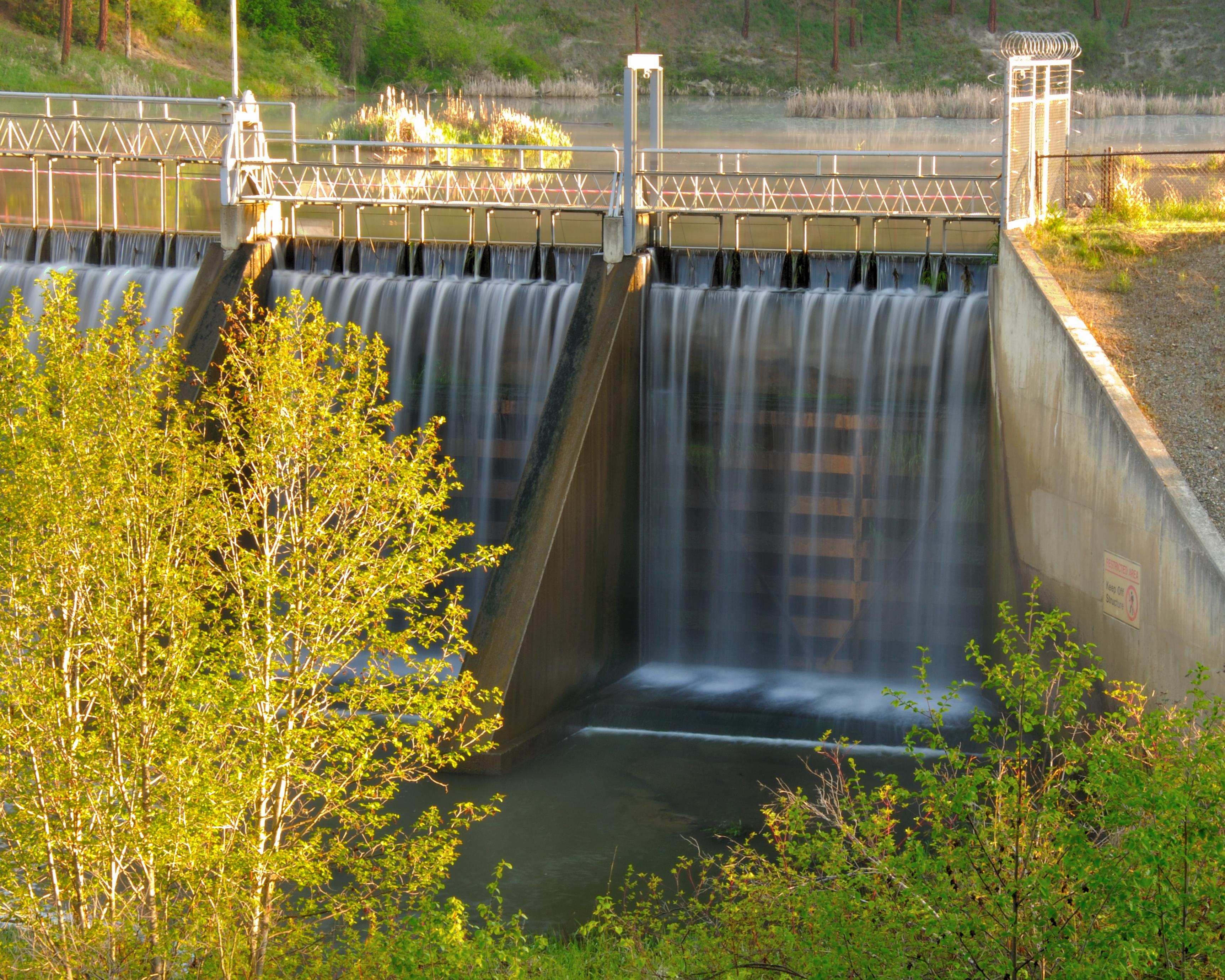
Dam Morning

Remembering Evergreen

Tweaks Evil
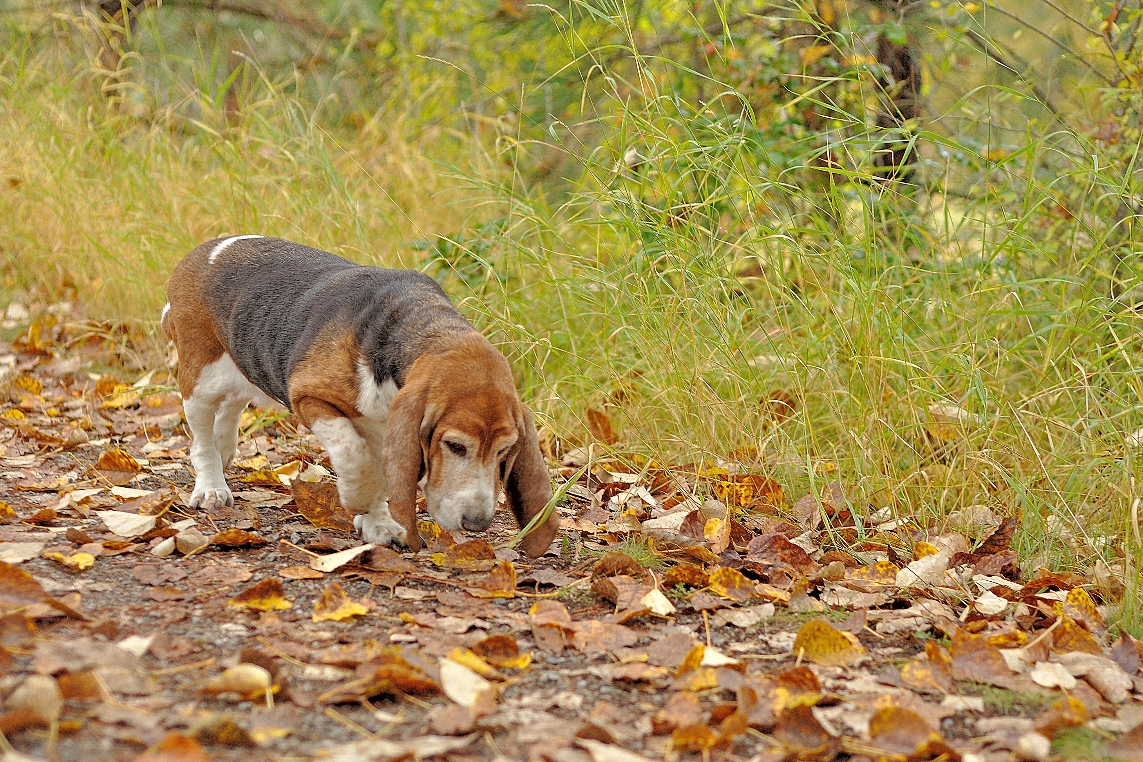
Season to Sniff
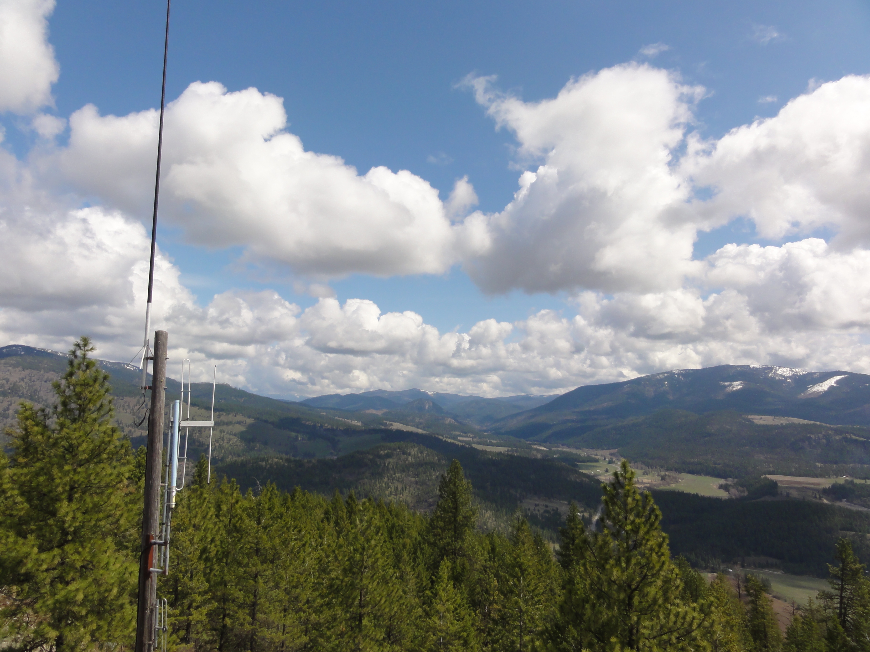
View from metal walkway
View from metal walkway
View from metal walkway
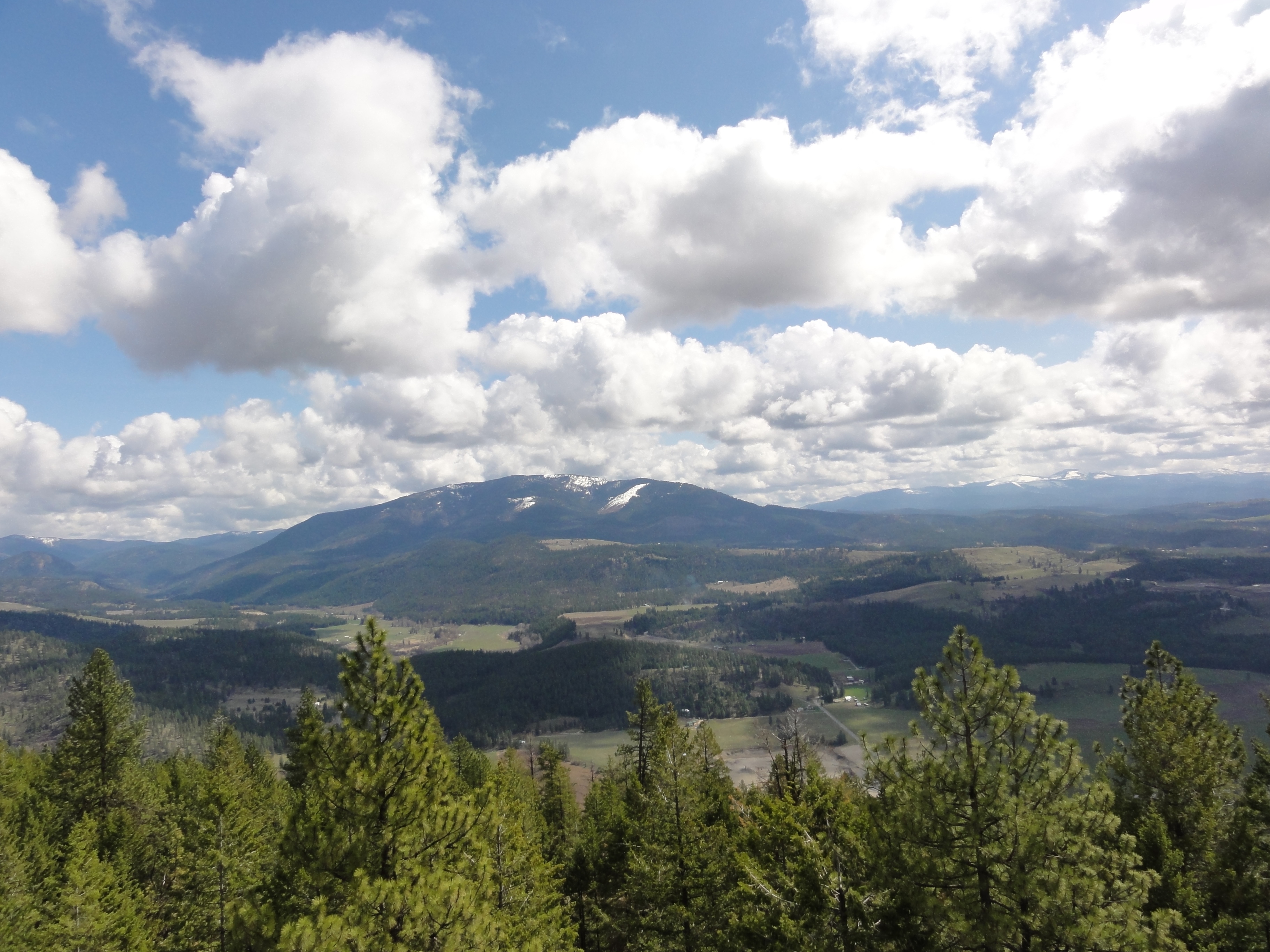
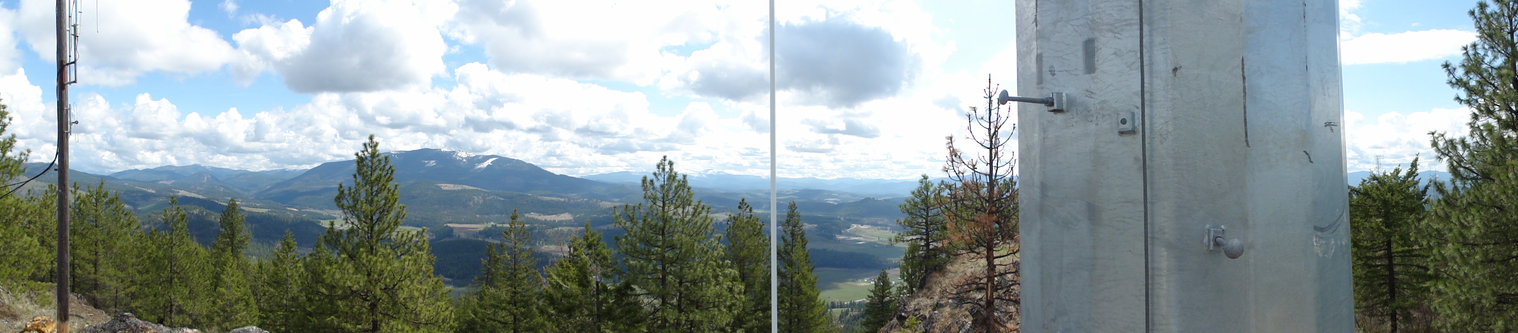
View from part way up array
View from part way up array
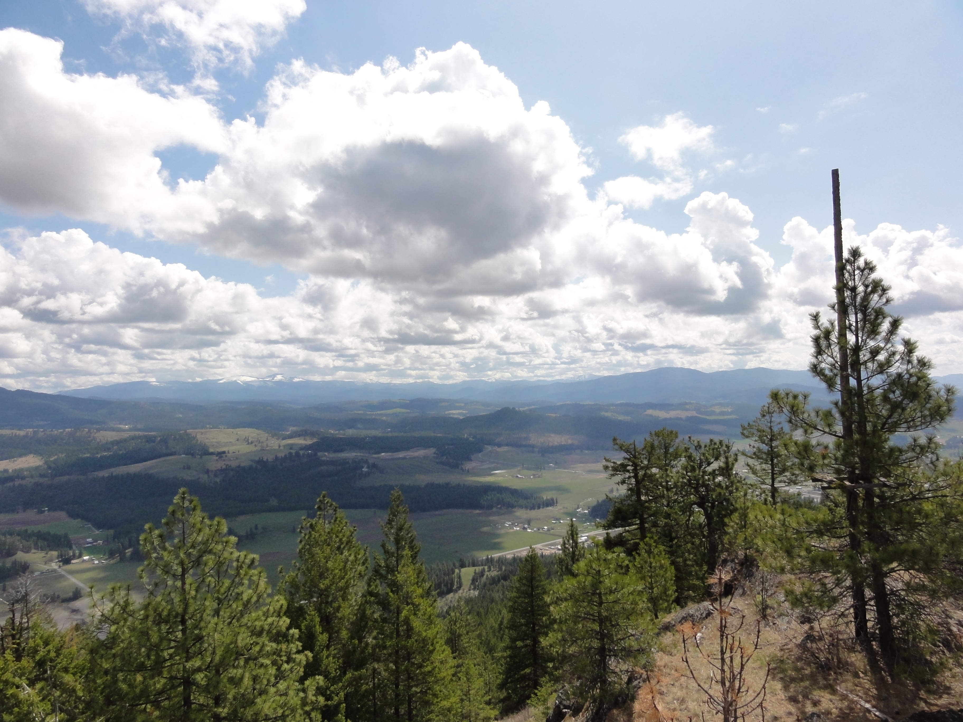
View from part way up array
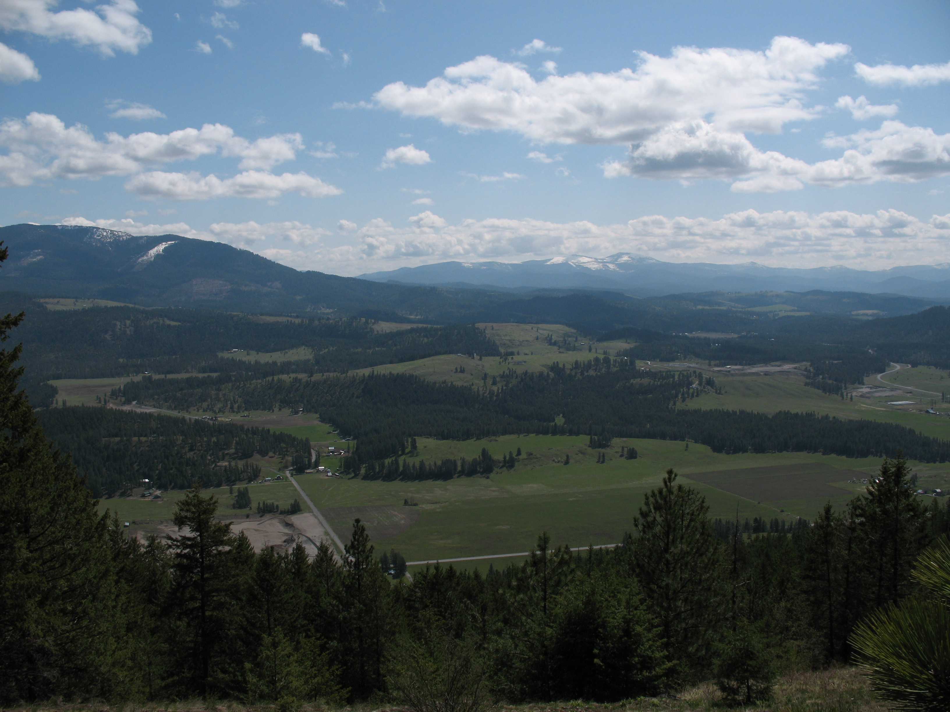
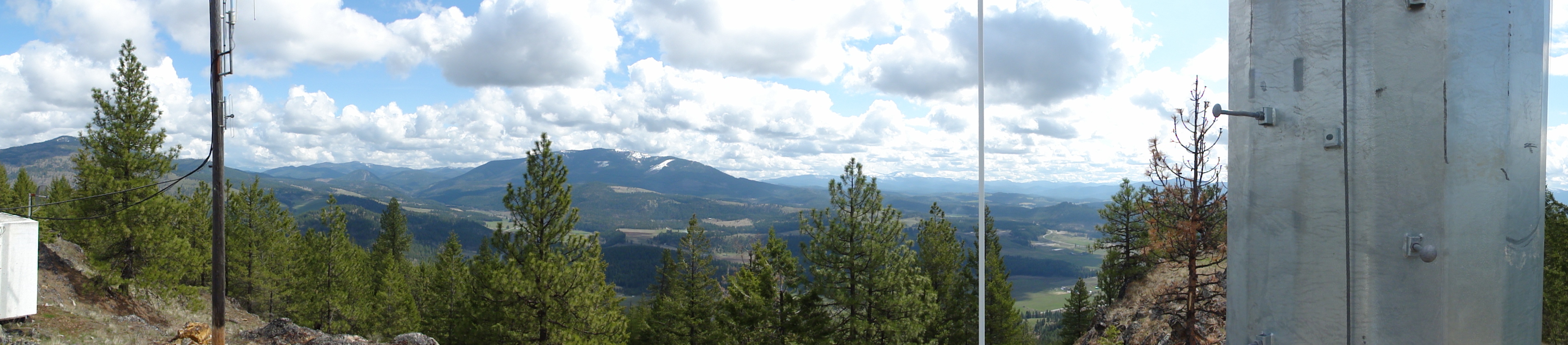
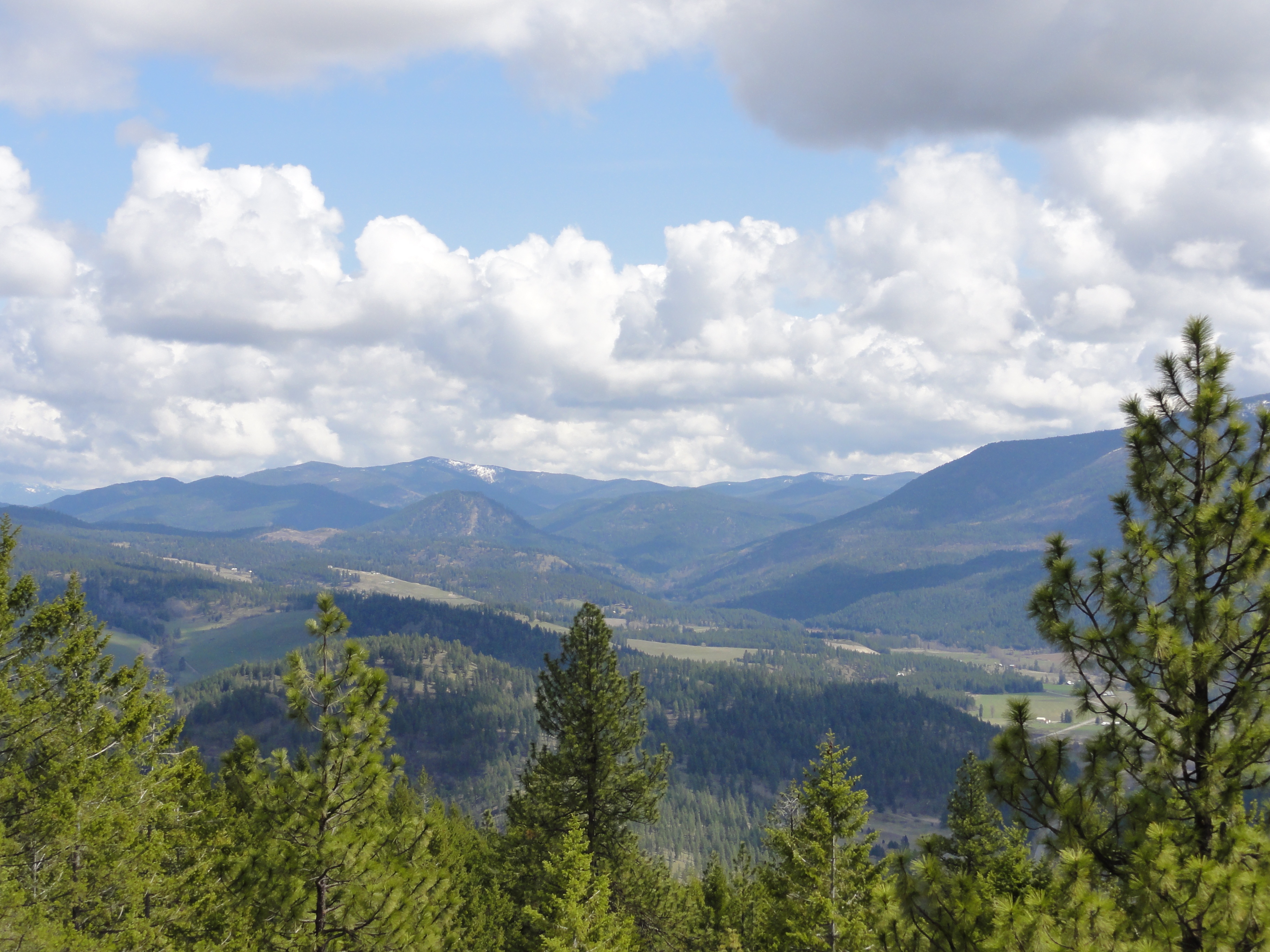
View East from Colville Mountain
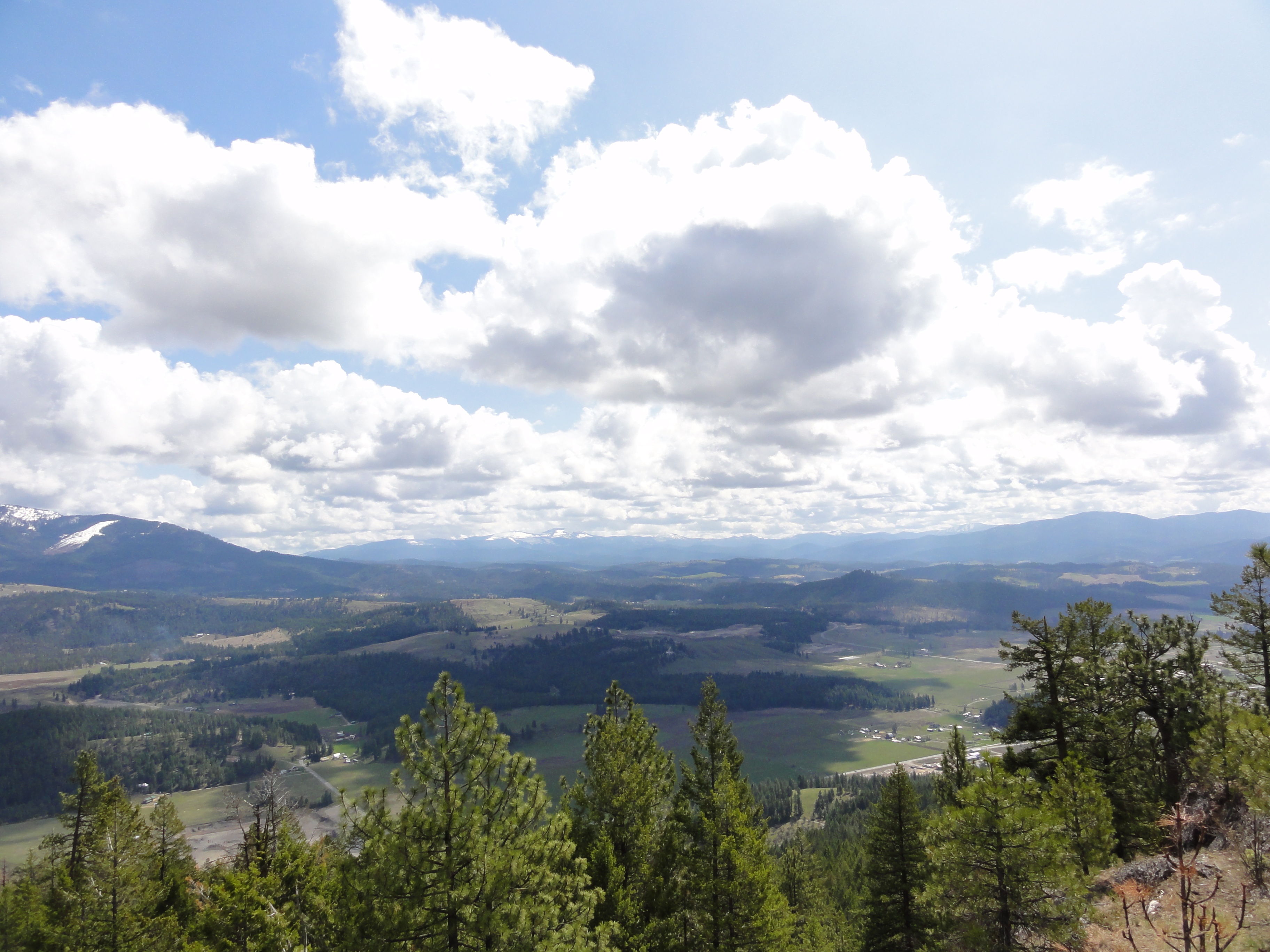
View from part way up array
2007.07.27 Konica 004
View From Bacon Bicycle Hostel
The Day's End
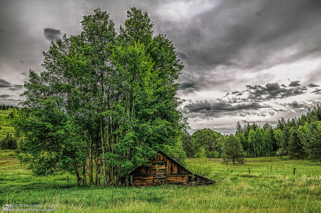
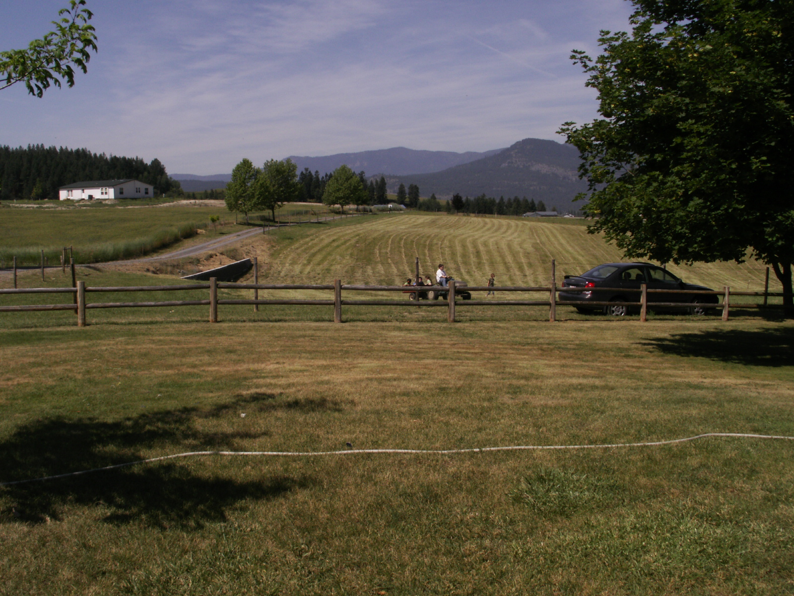
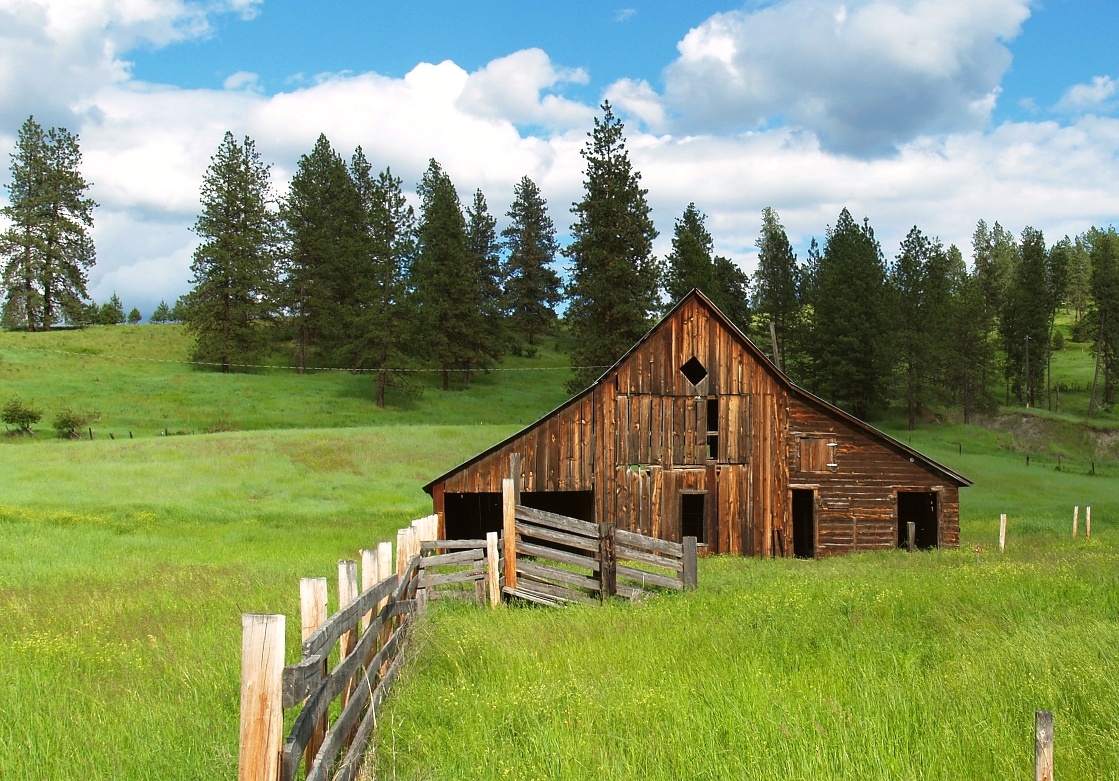
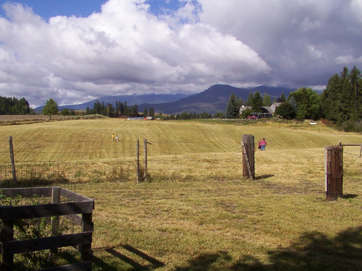
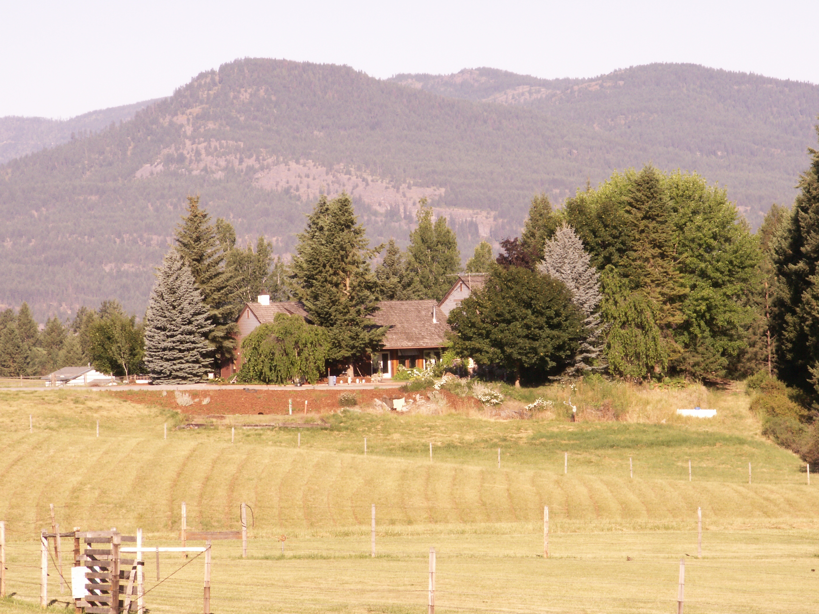
Barn - Colville, Washington
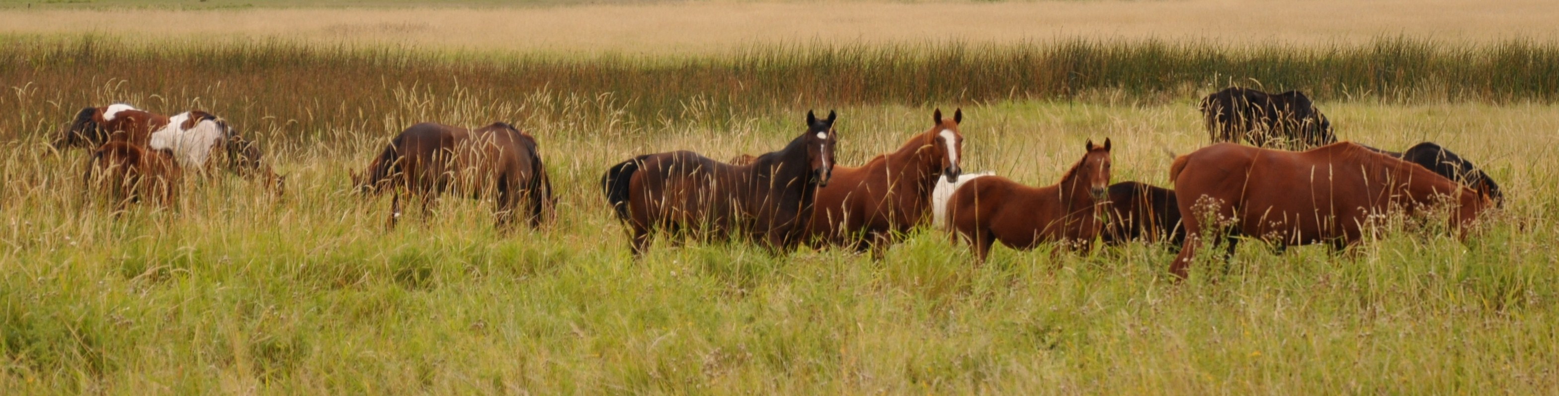
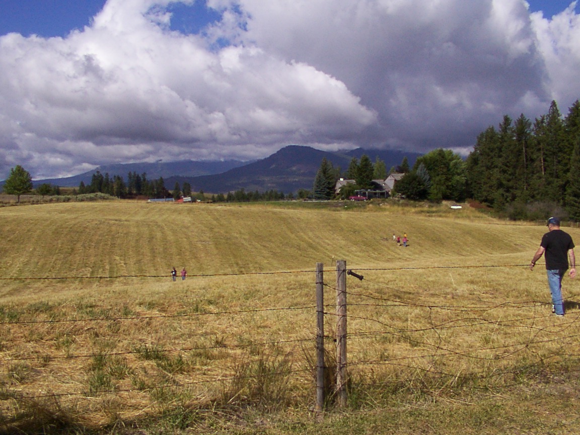
Grazing Interest
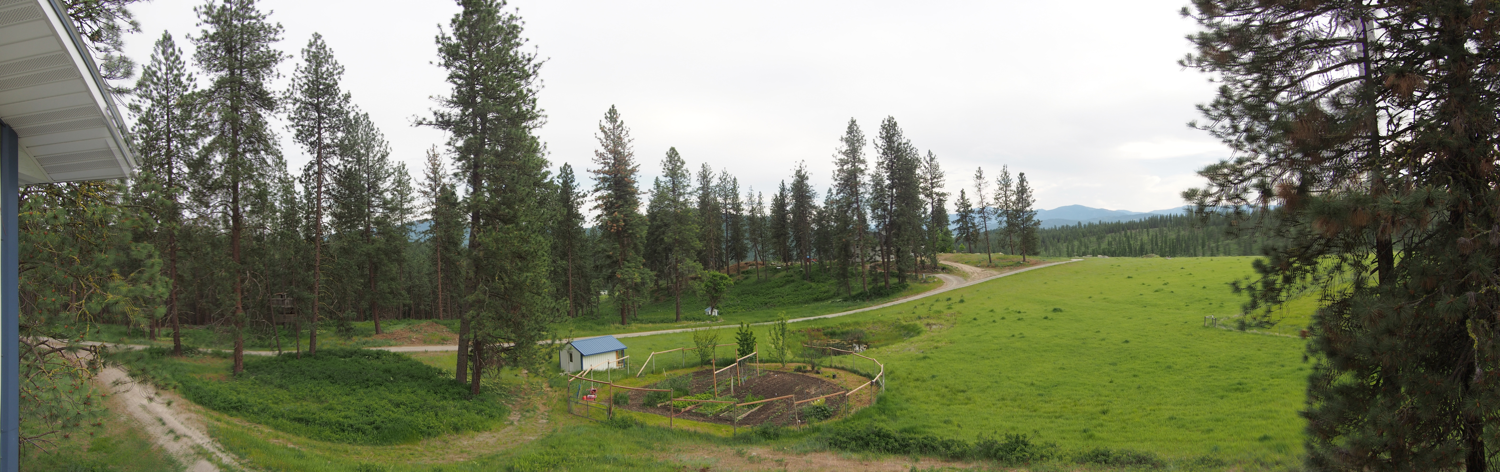
Up the hill
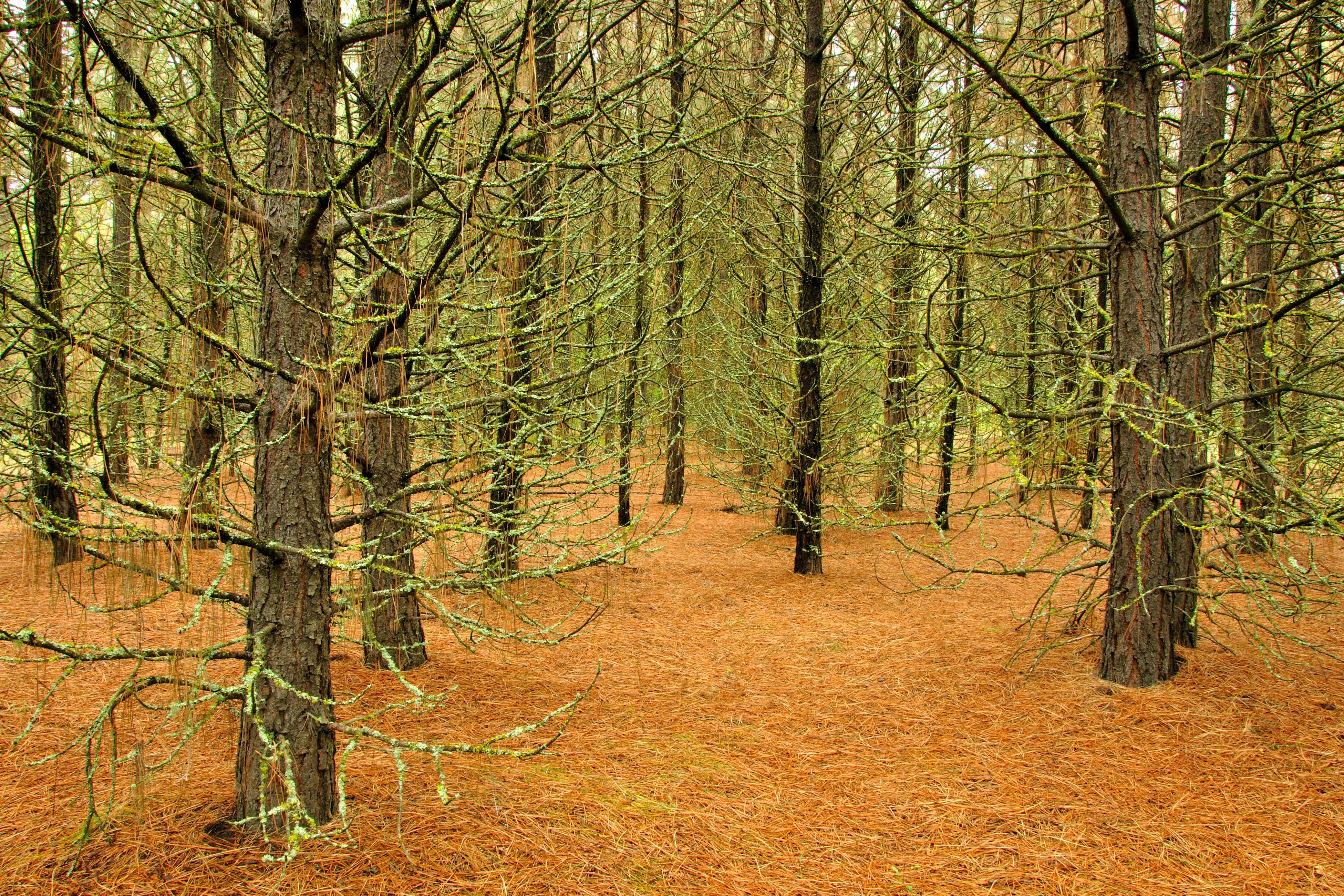
Pines ‘n’ Needles

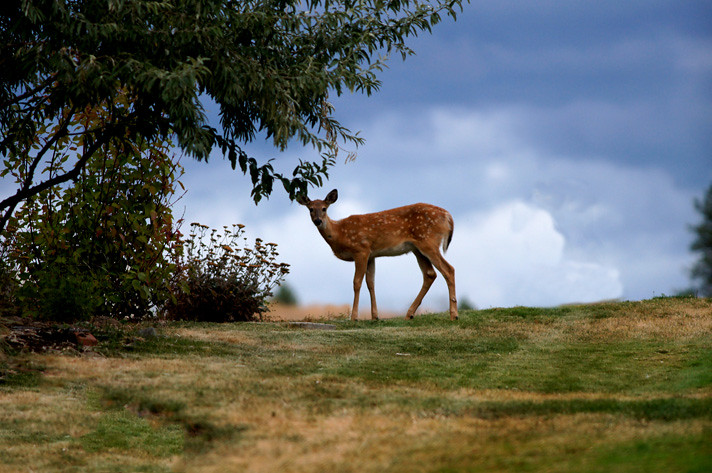
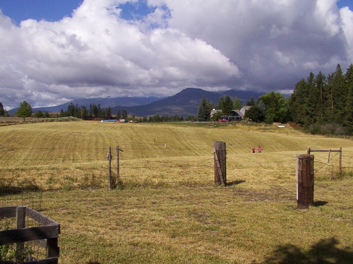
on Grass
Country Barn
Highland Knoll
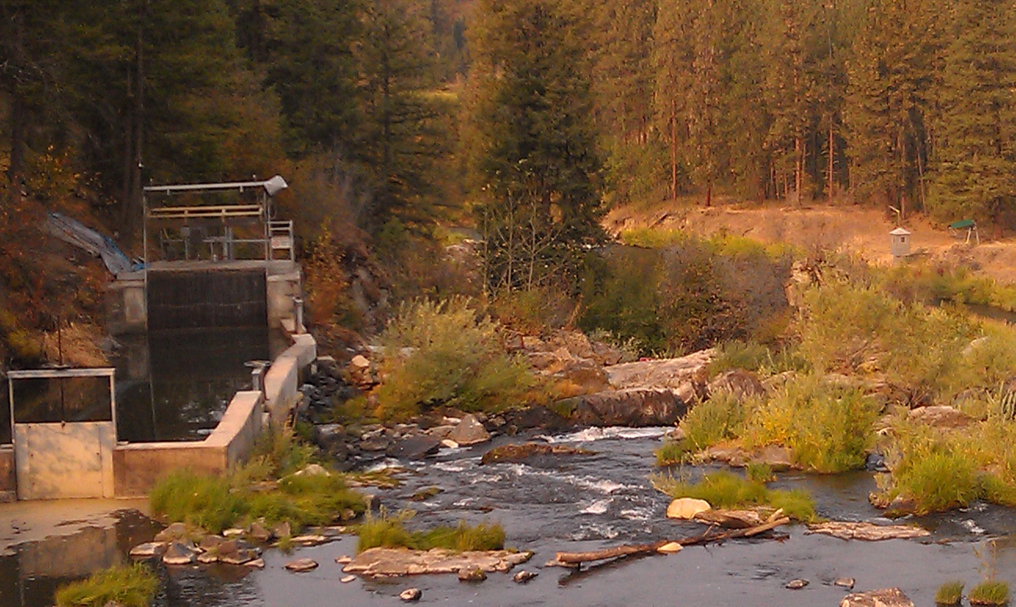
Meyers Falls Hydroelectric Development- Stevens County WA (6)

Moving Water
20040813 019
20040813 021
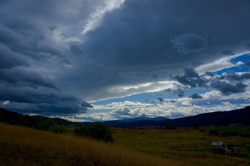
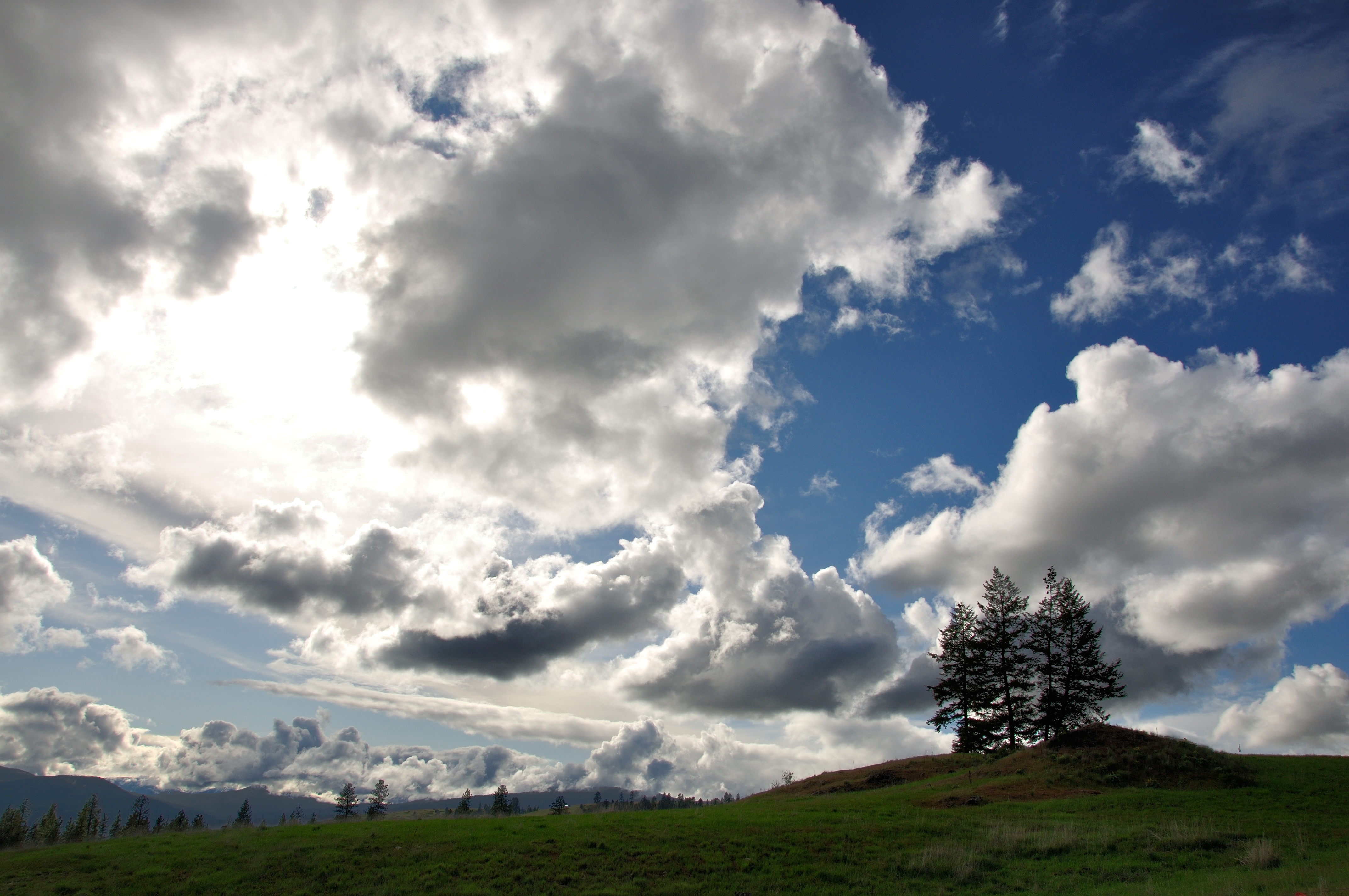
Parting Storms

Dirty Work

gbs_20100808_8846.jpg
20040813 020
2006.08.27 Konica 039
Topographic Map of Walmart Supercenter, N Hwy, Colville, WA, USA
Find elevation by address:

Places near Walmart Supercenter, N Hwy, Colville, WA, USA:
Washington 20
259 N Wynne St
256 N Wynne St
100 N Main St
828 N Walnut St
Colville
980 S Main St
839 Wa-20
Aladdin Rd, Colville, WA, USA
280 Corbett Creek Rd
Gold Creek Loop Road
751 Highland Loop Rd
958 Hockersmith Rd
Greenwood Loop Rd, Kettle Falls, WA, USA
Meyers Falls
Kettle Falls
1644 Bear Mountain Way B
Rickey Canyon Road
River Road
Recent Searches:
- Elevation of Congressional Dr, Stevensville, MD, USA
- Elevation of Bellview Rd, McLean, VA, USA
- Elevation of Stage Island Rd, Chatham, MA, USA
- Elevation of Shibuya Scramble Crossing, 21 Udagawacho, Shibuya City, Tokyo -, Japan
- Elevation of Jadagoniai, Kaunas District Municipality, Lithuania
- Elevation of Pagonija rock, Kranto 7-oji g. 8"N, Kaunas, Lithuania
- Elevation of Co Rd 87, Jamestown, CO, USA
- Elevation of Tenjo, Cundinamarca, Colombia
- Elevation of Côte-des-Neiges, Montreal, QC H4A 3J6, Canada
- Elevation of Bobcat Dr, Helena, MT, USA