Elevation of Bear Mountain Way B, Kettle Falls, WA, USA
Location: United States > Washington > Kettle Falls >
Longitude: -118.04982
Latitude: 48.6606551
Elevation: 638m / 2093feet
Barometric Pressure: 94KPa
Elevation Map:
Satellite Map:
Related Photos:

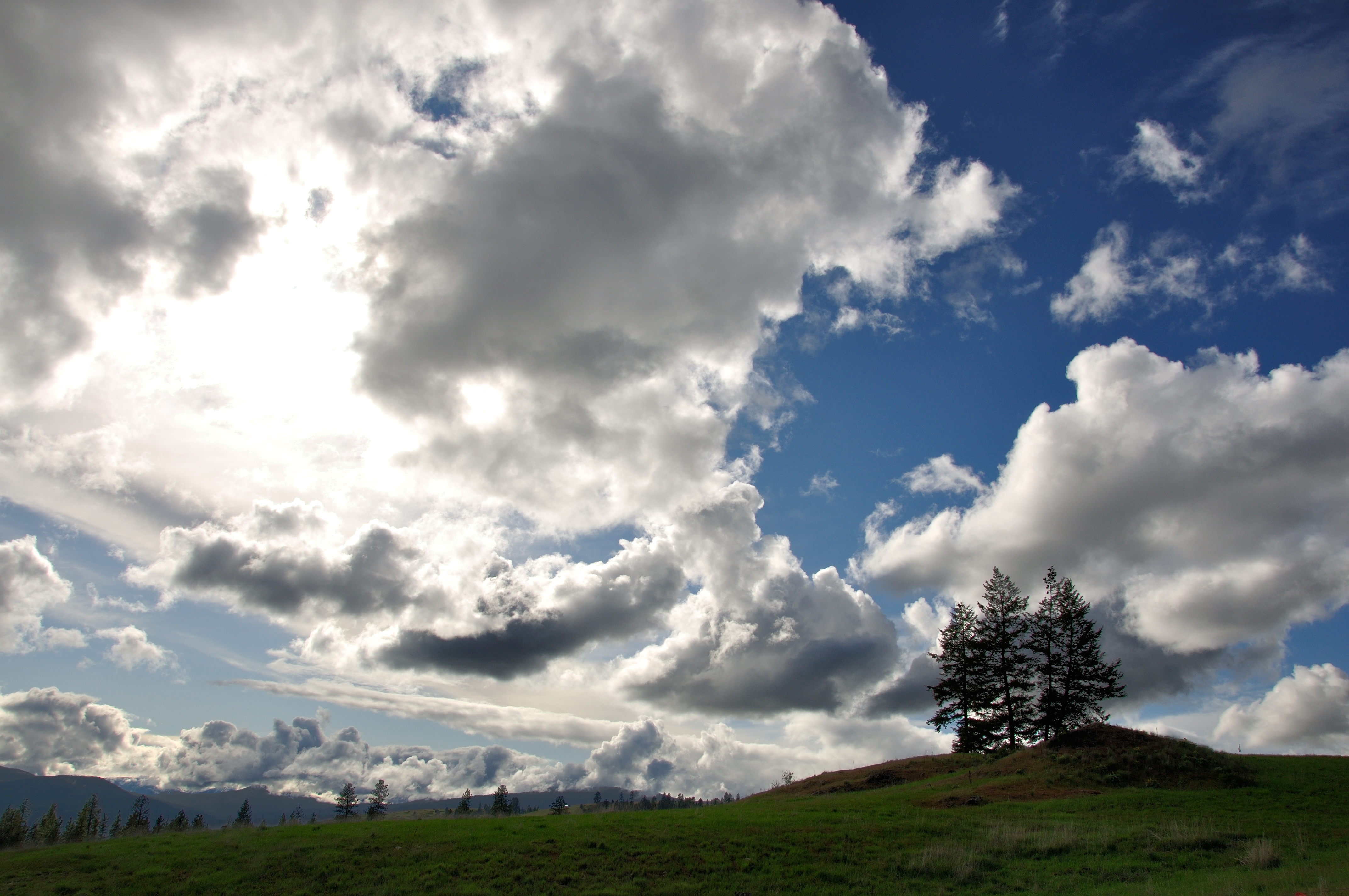
Remembering Evergreen
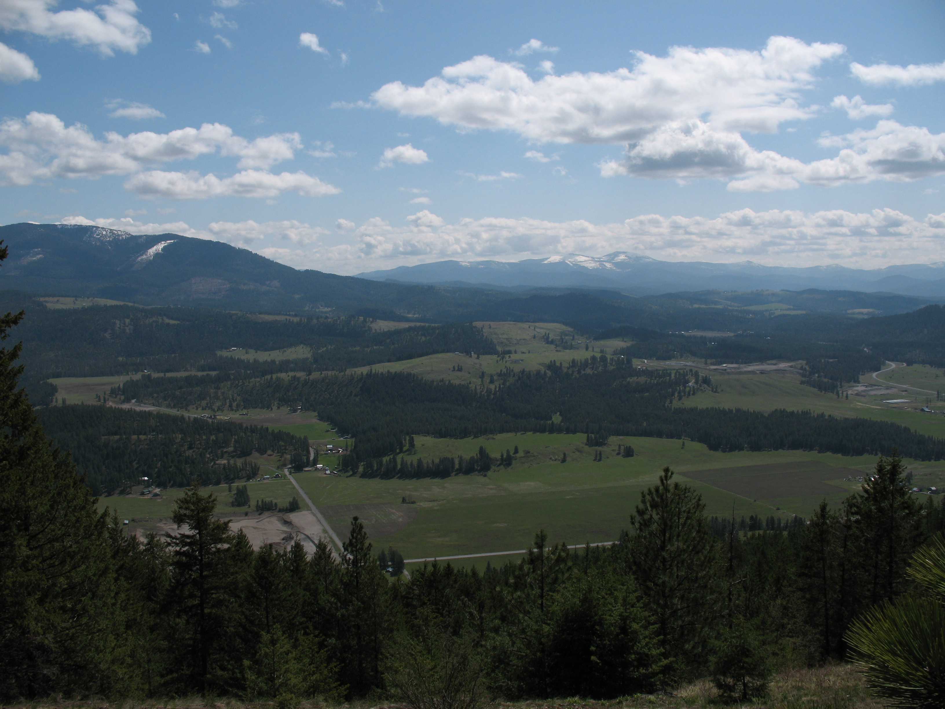
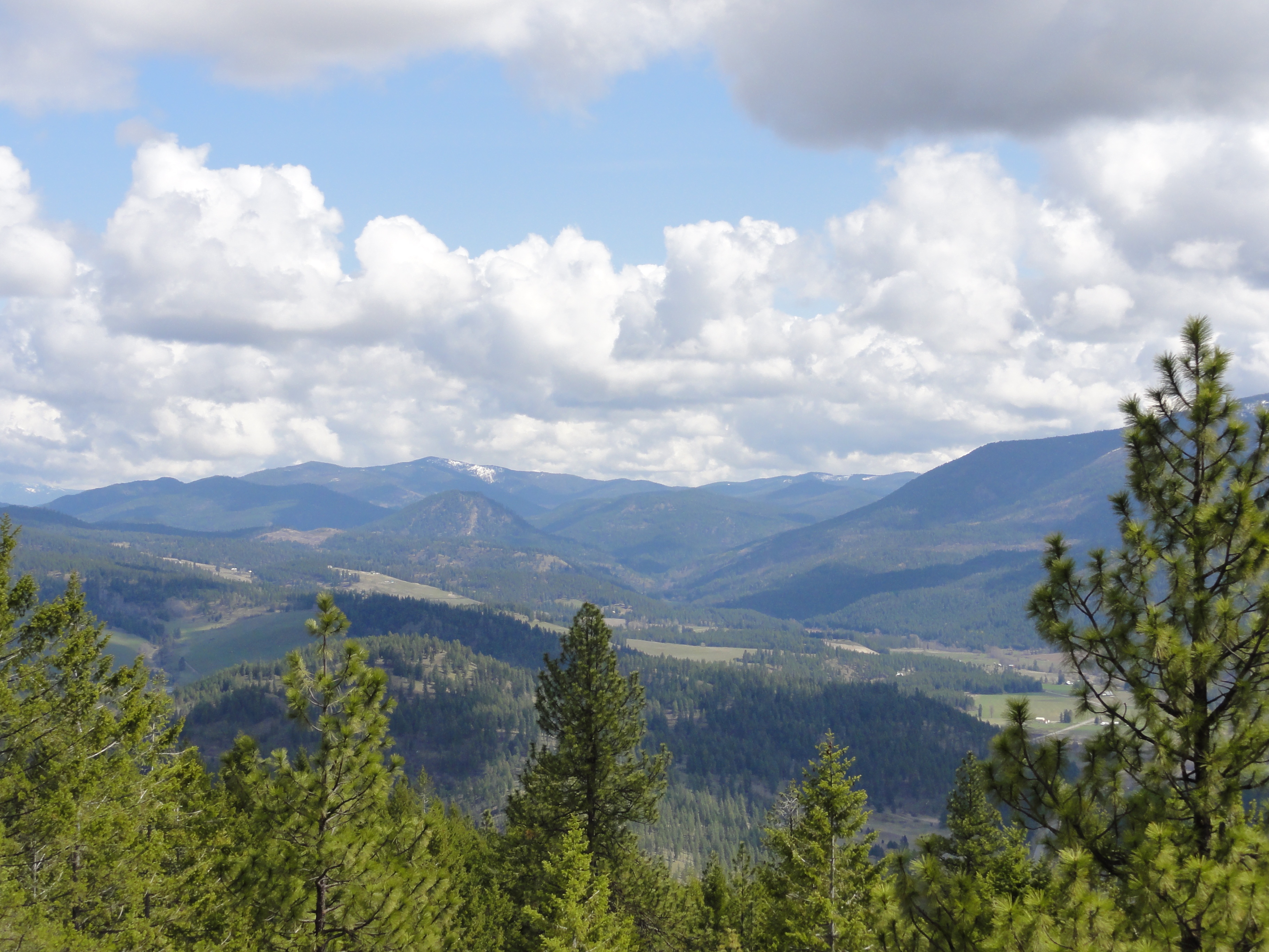
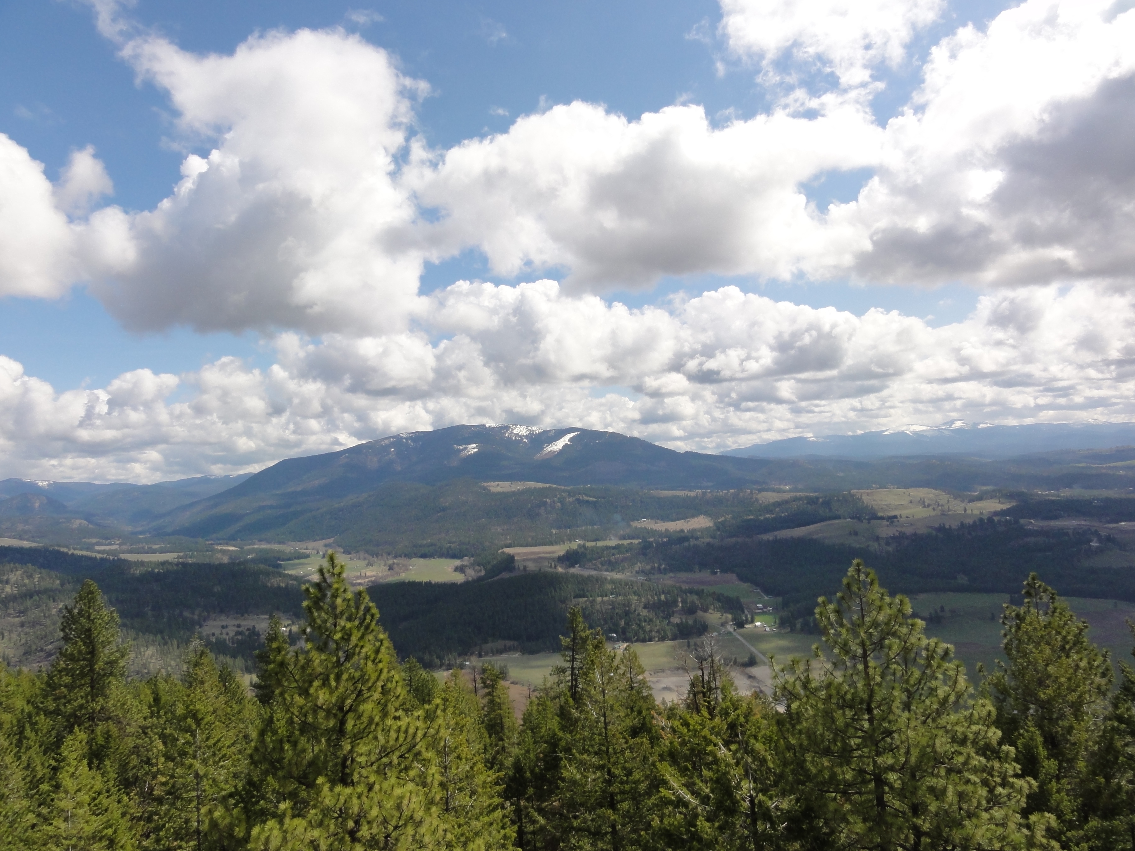
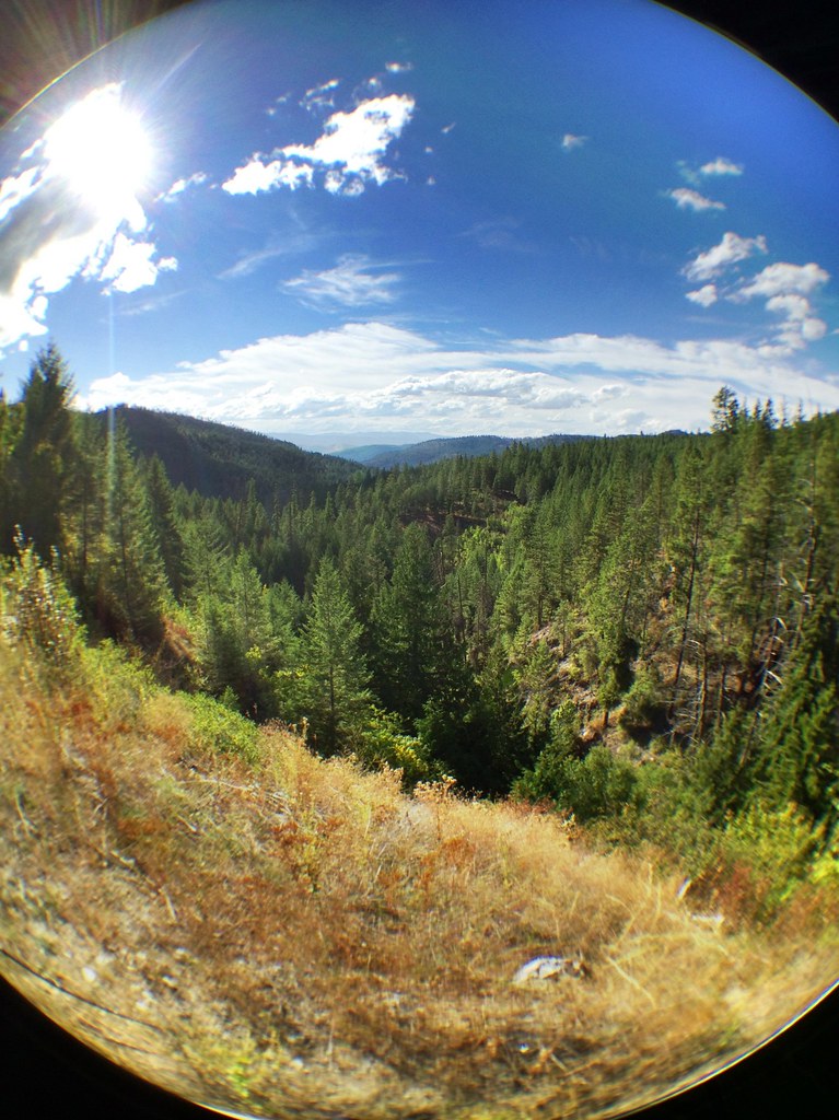
View East from Colville Mountain
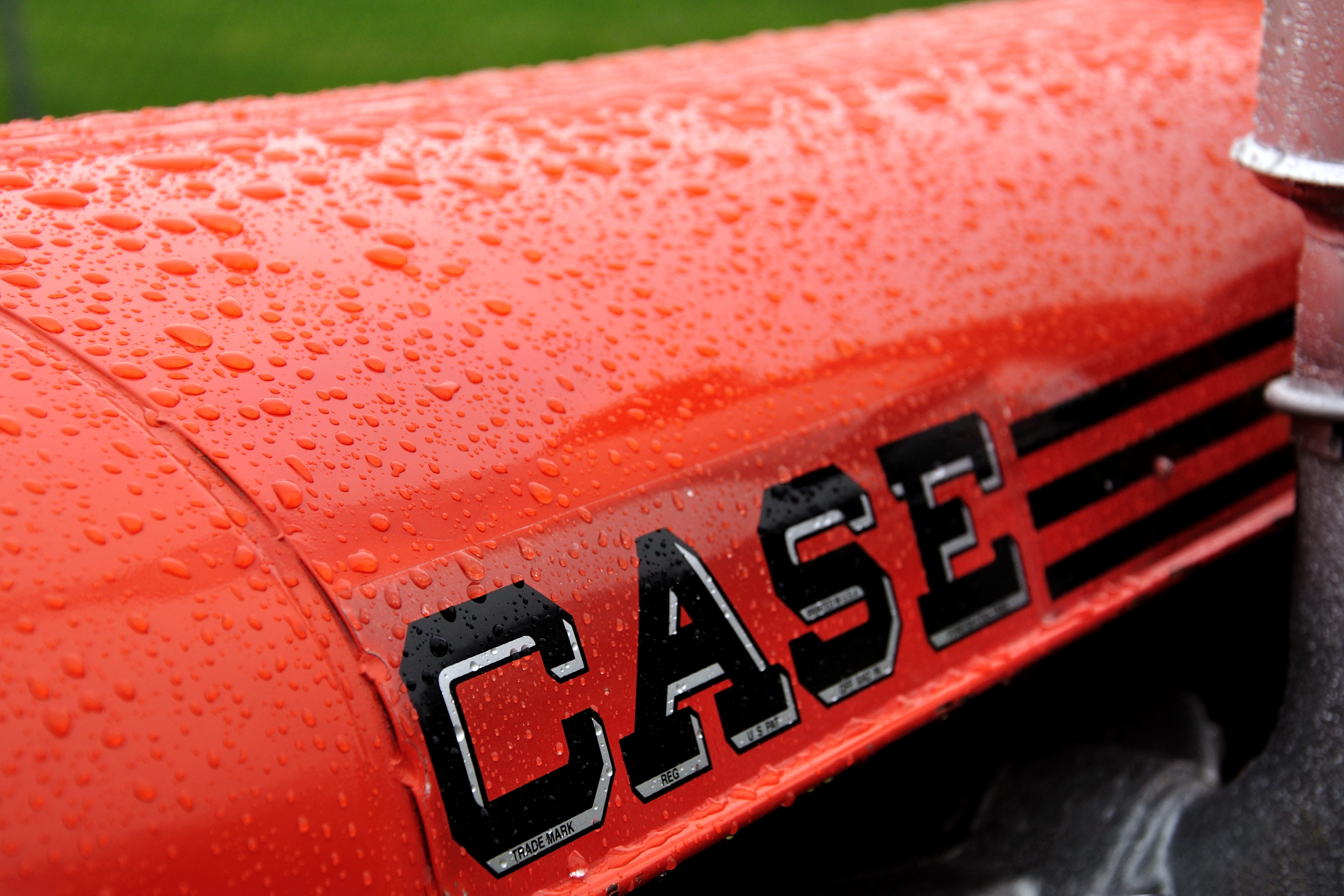
Show Case
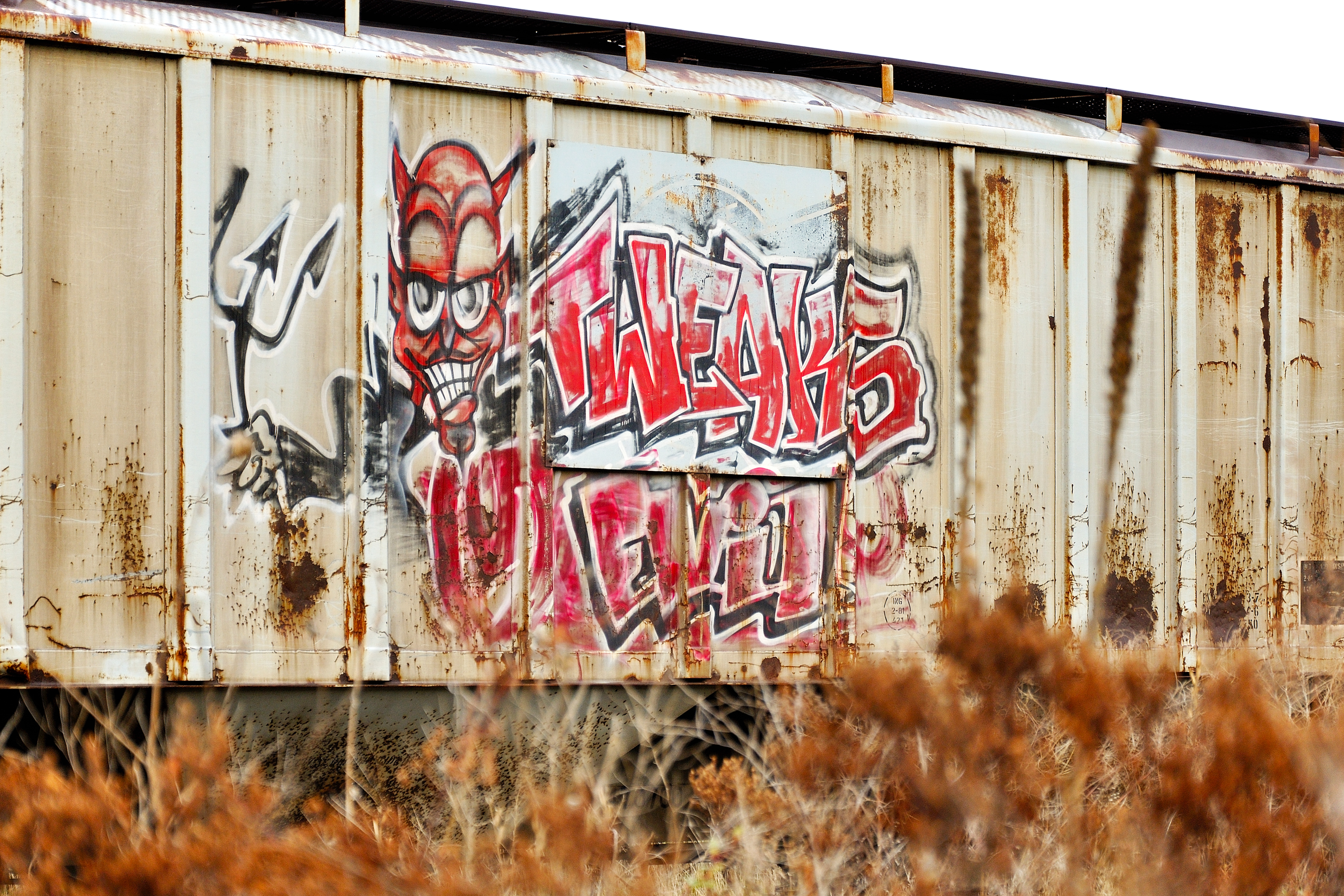
Tweaks Evil
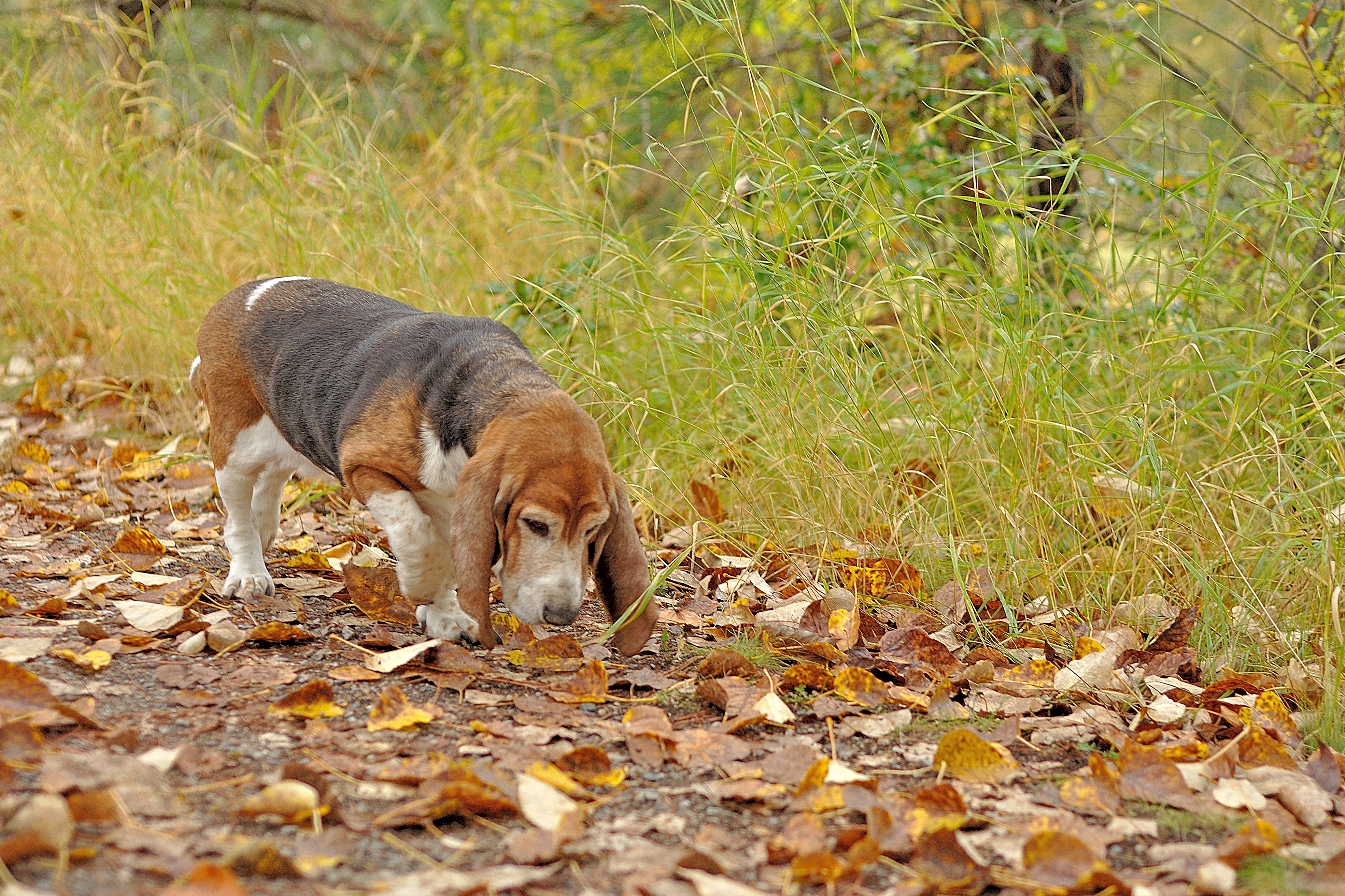
Season to Sniff
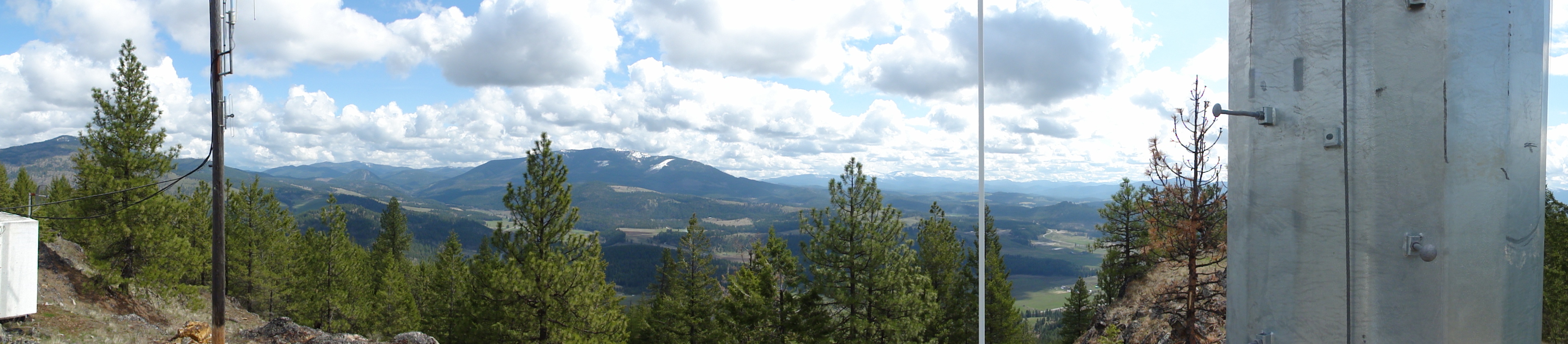
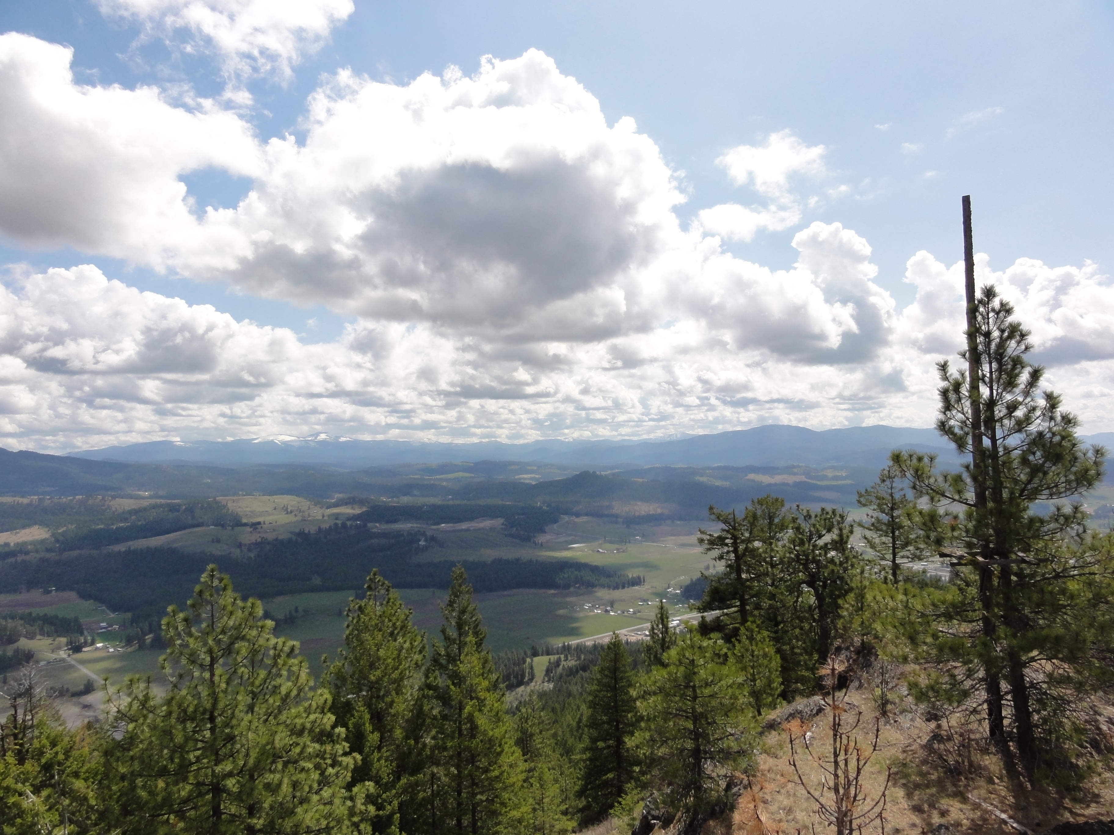
View from metal walkway
View from metal walkway
View from metal walkway
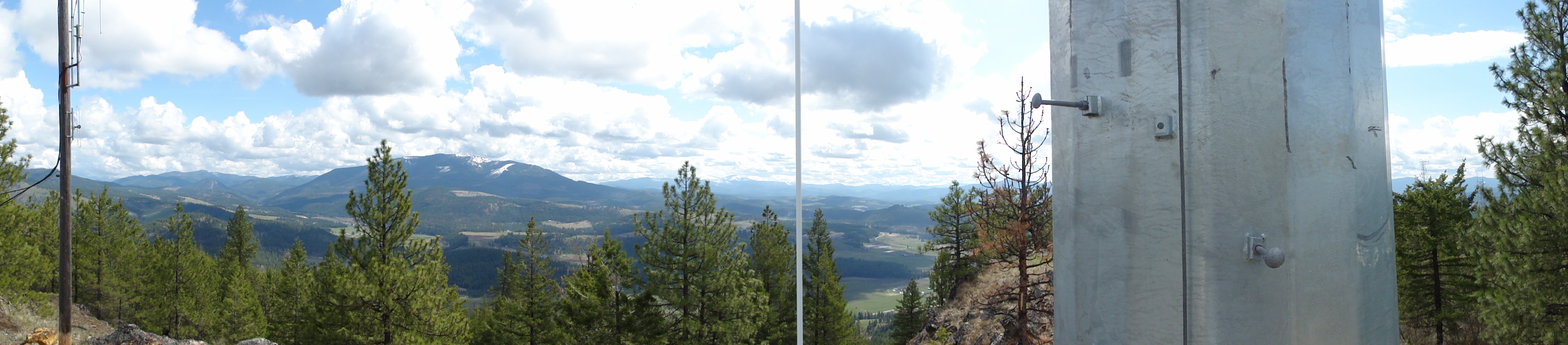
View from part way up array
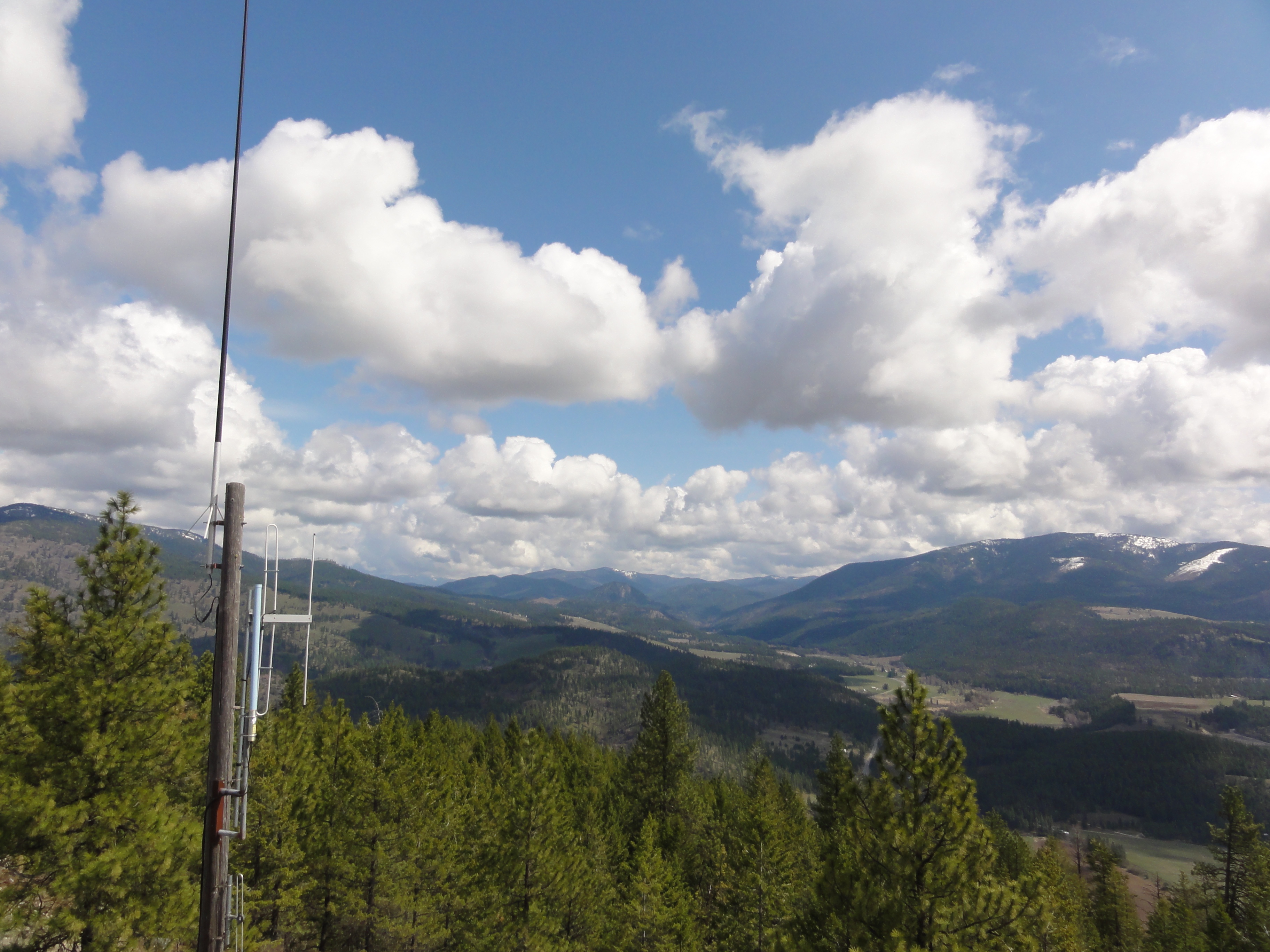
View from part way up array
View from part way up array
View from part way up array
View from part way up array
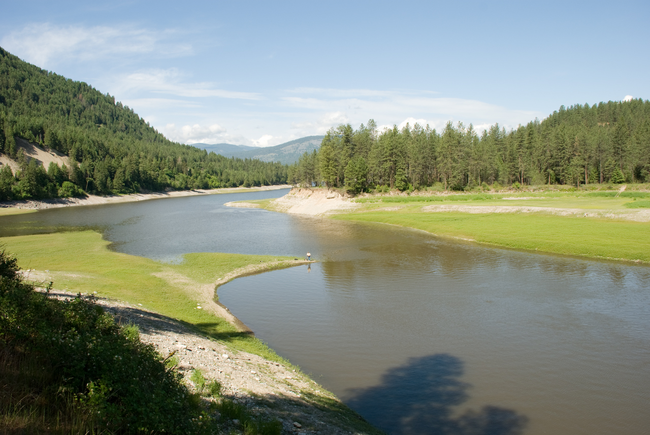
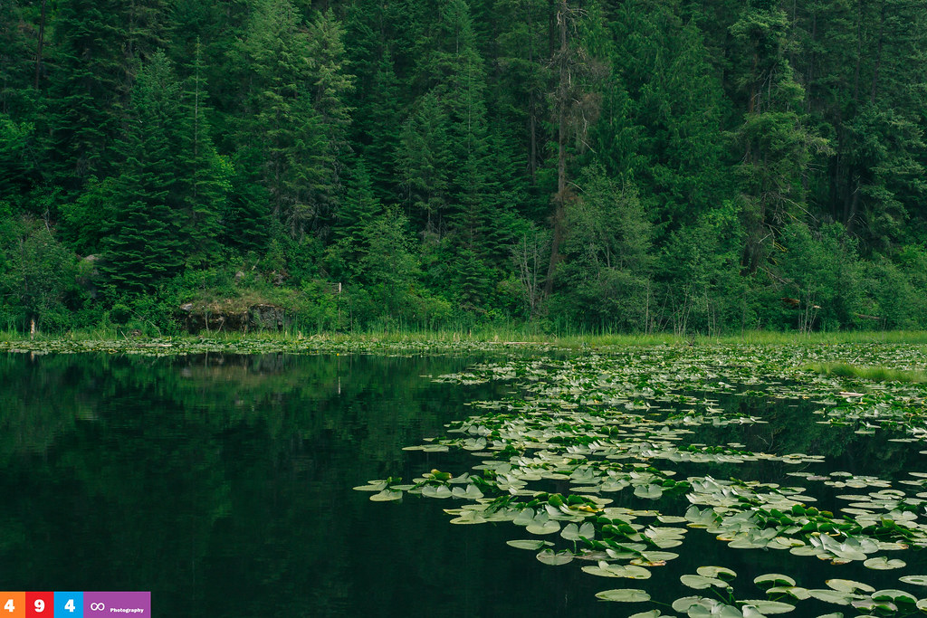
Colville River near Kettle Falls
Gentle Ripples On The Lake
on Grass

My Home
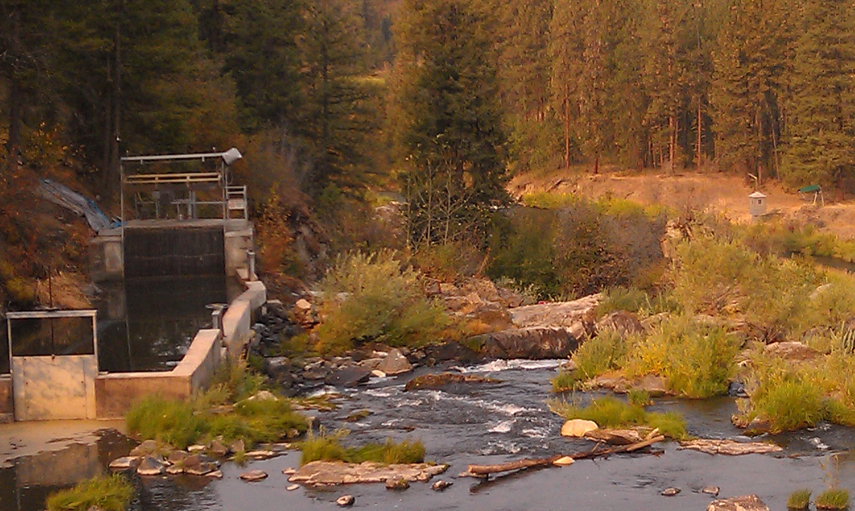
Meyers Falls Hydroelectric Development- Stevens County WA (6)
Lakeside Calmness

Afternoon Delight On A Lakeside T.I.P.

Serenity Is Only A Few [More] Steps Away
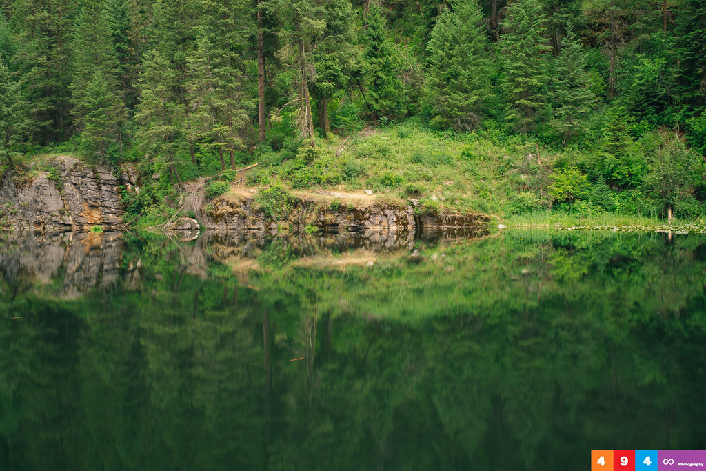
Flawless Reflections - (Explored)
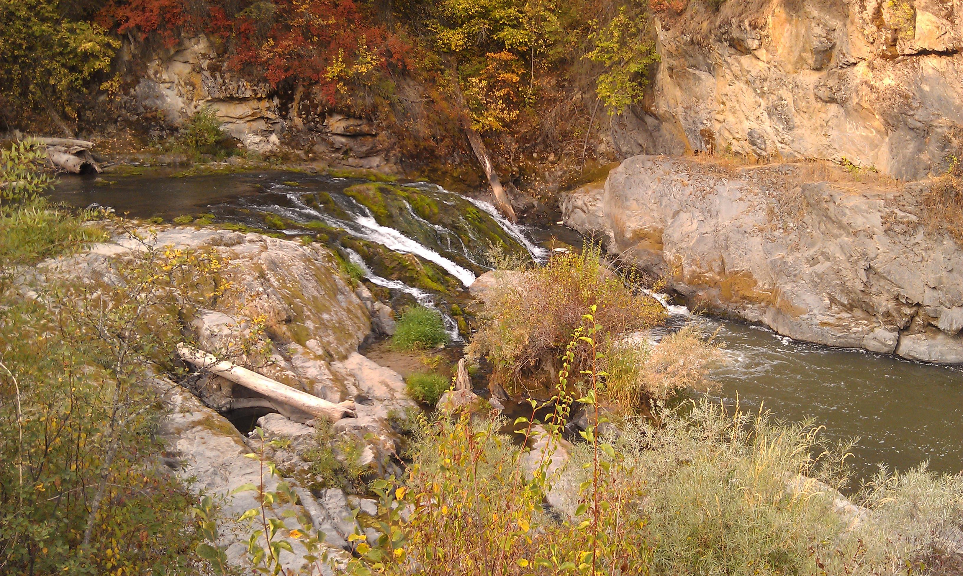
Meyers Falls Hydroelectric Development- Stevens County WA (4)
Kettle Falls, WA facing north up the Columbia River.

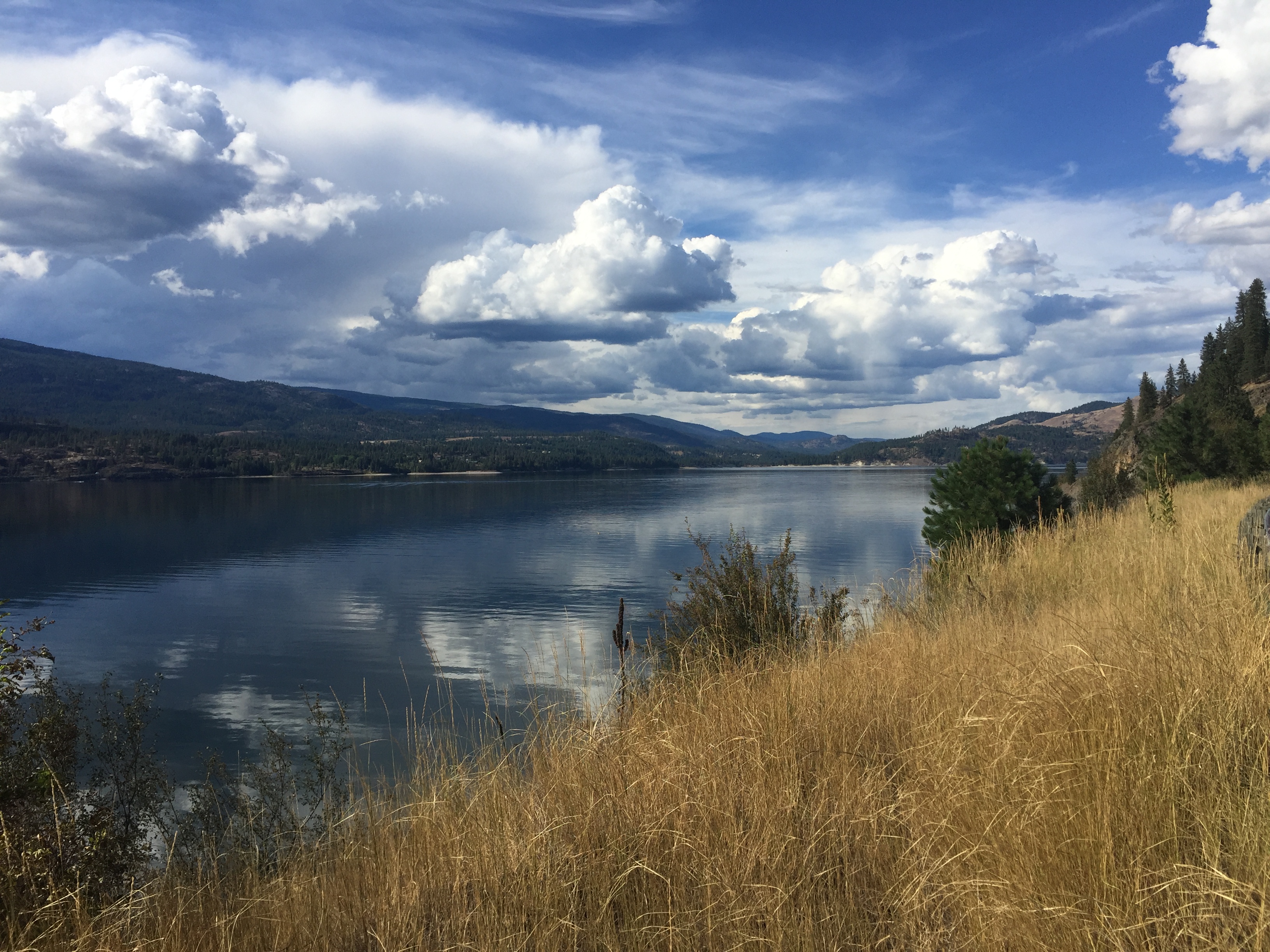
Columbia River- Lake Roosevelt- Stevens County WA (3)

The Sun Sets on the Columbia
Highland Knoll

2016-04-19 16;18;05

Perception is Reality

2016-04-20 08;22;17
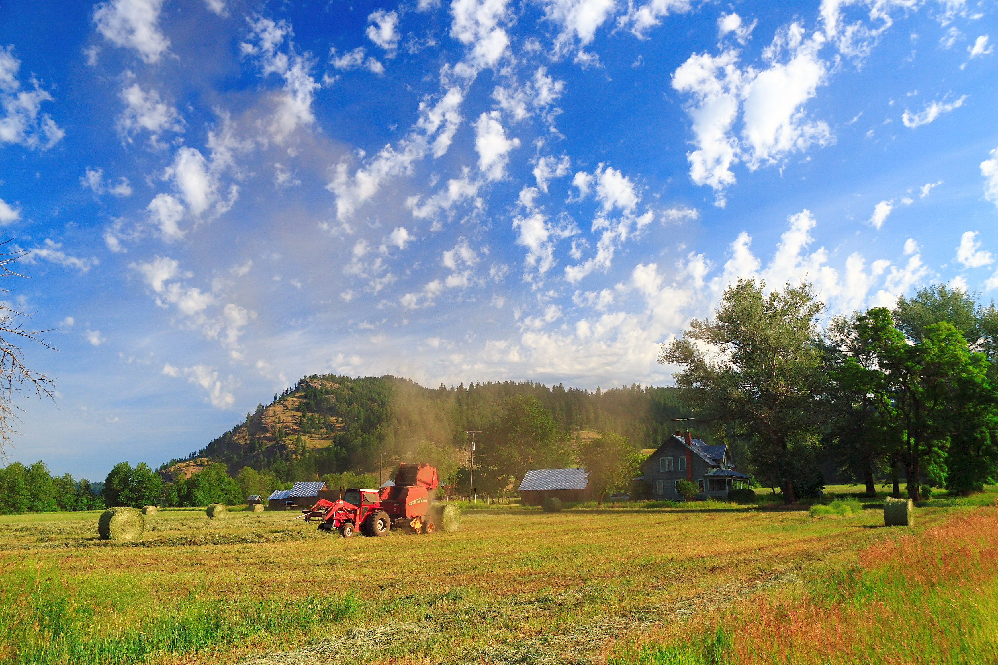
Dirty Work
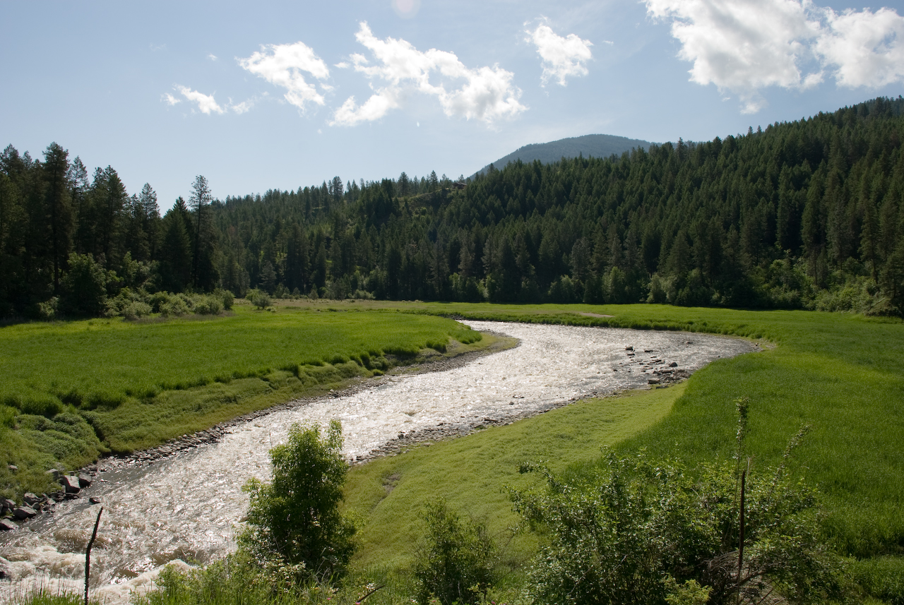
Colville River near Kettle Falls
Road Back to Spokane

2016-04-20 09;23;52
Topographic Map of Bear Mountain Way B, Kettle Falls, WA, USA
Find elevation by address:

Places near Bear Mountain Way B, Kettle Falls, WA, USA:
Kettle Falls
Meyers Falls
Greenwood Loop Rd, Kettle Falls, WA, USA
River Road
751 Highland Loop Rd
958 Hockersmith Rd
Gold Creek Loop Road
280 Corbett Creek Rd
Rickey Canyon Road
Walmart Supercenter
Washington 20
259 N Wynne St
256 N Wynne St
100 N Main St
828 N Walnut St
Colville
980 S Main St
Aladdin Rd, Colville, WA, USA
839 Wa-20
Recent Searches:
- Elevation of Shibuya Scramble Crossing, 21 Udagawacho, Shibuya City, Tokyo -, Japan
- Elevation of Jadagoniai, Kaunas District Municipality, Lithuania
- Elevation of Pagonija rock, Kranto 7-oji g. 8"N, Kaunas, Lithuania
- Elevation of Co Rd 87, Jamestown, CO, USA
- Elevation of Tenjo, Cundinamarca, Colombia
- Elevation of Côte-des-Neiges, Montreal, QC H4A 3J6, Canada
- Elevation of Bobcat Dr, Helena, MT, USA
- Elevation of Zu den Ihlowbergen, Althüttendorf, Germany
- Elevation of Badaber, Peshawar, Khyber Pakhtunkhwa, Pakistan
- Elevation of SE Heron Loop, Lincoln City, OR, USA