Elevation of Highline Rd, Chewelah, WA, USA
Location: United States > Washington > Stevens County > Chewelah >
Longitude: -117.71319
Latitude: 48.348718
Elevation: -10000m / -32808feet
Barometric Pressure: 295KPa
Elevation Map:
Satellite Map:
Related Photos:

Frigid Caps

NE view during break in snow

Chewelah Creek

01d897c59c23ee528c4959b5b04c2eb2cc8d90412c-2

Stevens County,WA

Marble Valley

Signs of Spring

Chewelah Fire Dept

Lone Tree in Yellow

06162012 163a Red-eyed Vireo - Vireo olivaceus

Wading Pool

2012-01-03_12-32-25_760.jpg
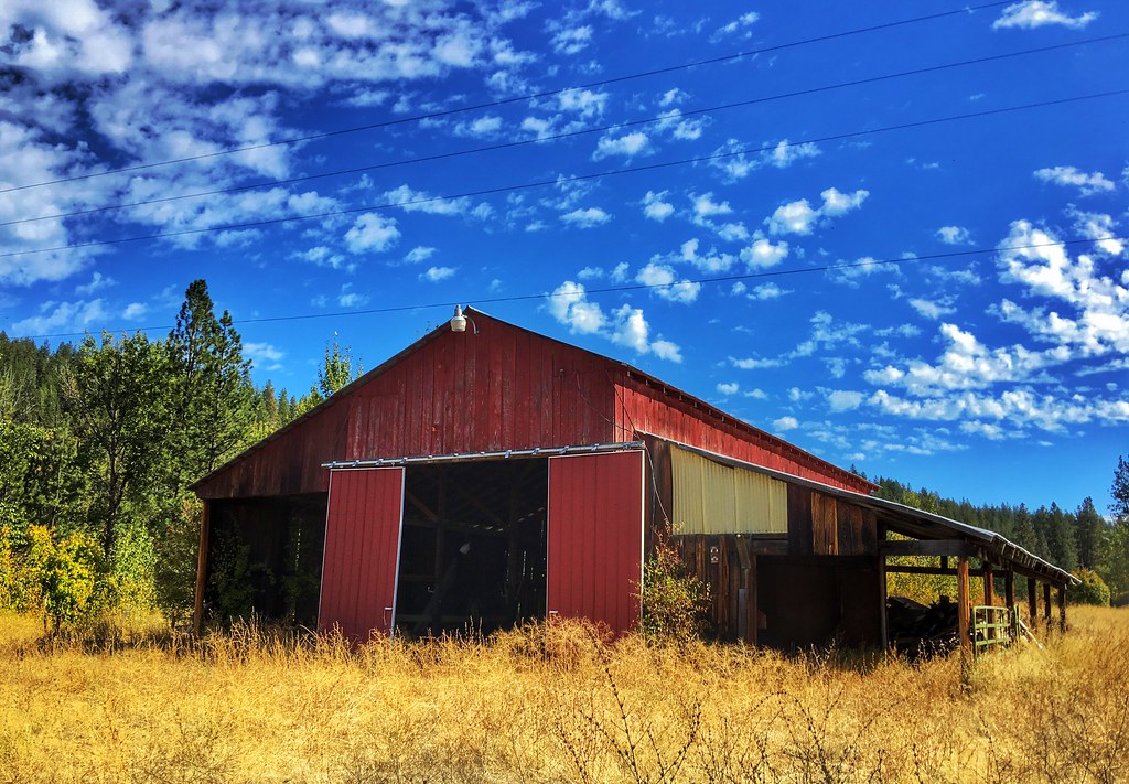
Barn HDR
Topographic Map of Highline Rd, Chewelah, WA, USA
Find elevation by address:

Places near Highline Rd, Chewelah, WA, USA:
Highline Rd, Chewelah, WA, USA
110 Richmond Ln
Sand Canyon Airport
2312 Burnt Valley Rd
U.s. 395
206 W Franklin Ave
Jenkins High School
Chewelah
Schmidlekofer Road
Addy
1167 Mclean Rd
957 Kitt-narcisse Rd
Nelson Creek
Valley
3157 Red Marble Rd
786 Arden Butte Rd
Stevens County
Orin-Rice Rd, Colville, WA, USA
980 S Main St
839 Wa-20
Recent Searches:
- Elevation of W Granada St, Tampa, FL, USA
- Elevation of Pykes Down, Ivybridge PL21 0BY, UK
- Elevation of Jalan Senandin, Lutong, Miri, Sarawak, Malaysia
- Elevation of Bilohirs'k
- Elevation of 30 Oak Lawn Dr, Barkhamsted, CT, USA
- Elevation of Luther Road, Luther Rd, Auburn, CA, USA
- Elevation of Unnamed Road, Respublika Severnaya Osetiya — Alaniya, Russia
- Elevation of Verkhny Fiagdon, North Ossetia–Alania Republic, Russia
- Elevation of F. Viola Hiway, San Rafael, Bulacan, Philippines
- Elevation of Herbage Dr, Gulfport, MS, USA