Elevation of Gladys, VA, USA
Location: United States > Virginia > Campbell County > Brookneal >
Longitude: -79.073630
Latitude: 37.1631988
Elevation: 237m / 778feet
Barometric Pressure: 99KPa
Elevation Map:
Satellite Map:
Related Photos:

Hat Creek Retreat Sunrise

Clear Cut View

My view

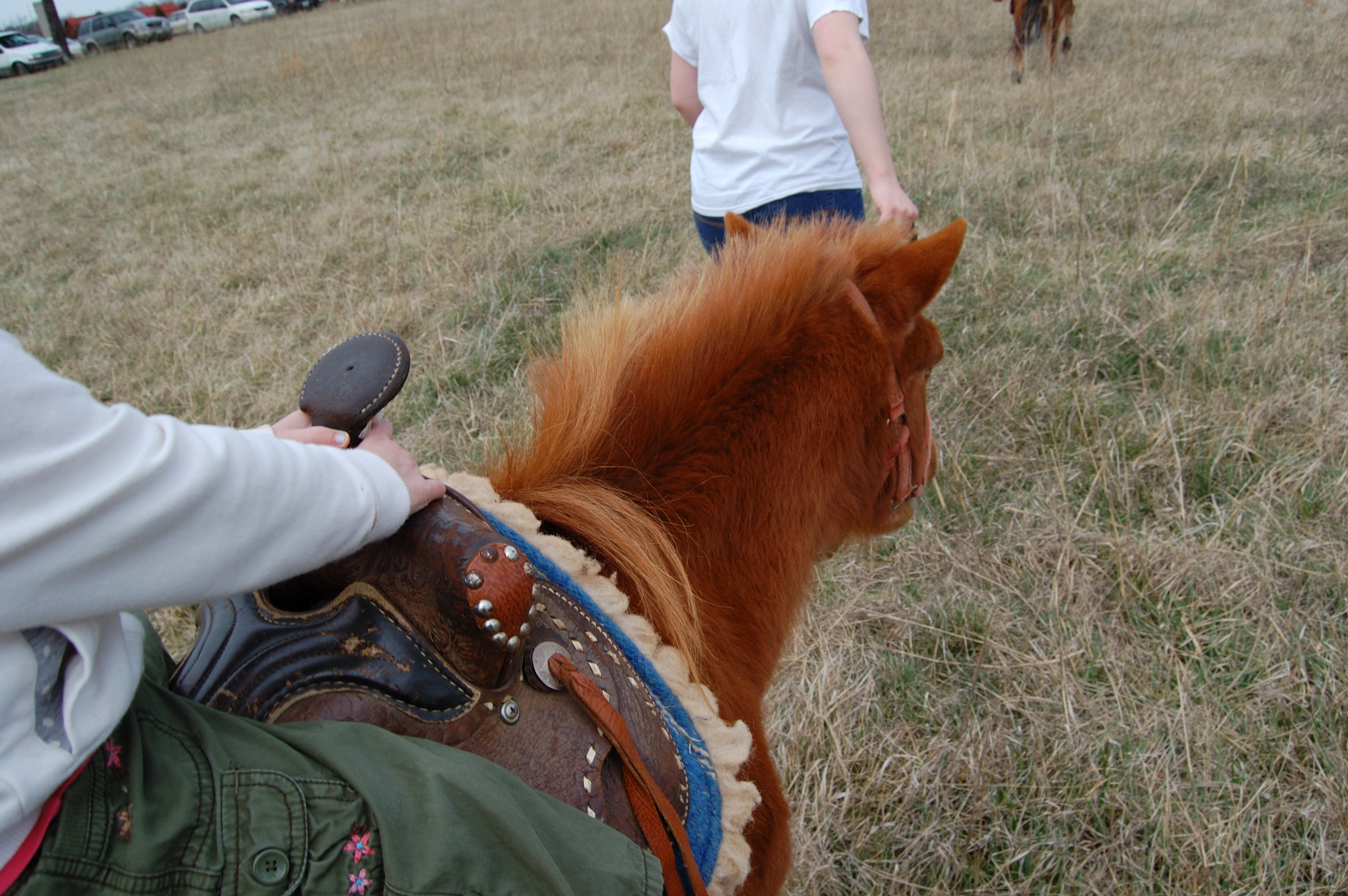
Over the shoulder view
Scout's view

From my view

The view from my window in Virginia tonight. #Sunset #Virginia #VA

View facing down the street

View from the side facing the street

A Virginia Sunset

It's Autumn, Virginia

Railroad Road

Walking the dogs

Mt. Zion Covered Bridge, Washington Co., KY

Staunton river near Altavista

Staunton River

Bare Apple Tree

Beautiful scene near staunton river

Creek near Seneca

Staunton River

staunton river

Clouds are Clearing

The "Lake"
Topographic Map of Gladys, VA, USA
Find elevation by address:

Places near Gladys, VA, USA:
8759 Brookneal Hwy
Mitchell Mill Rd, Gladys, VA, USA
Mollies Creek Rd, Gladys, VA, USA
Brookneal Hwy, Gladys, VA, USA
Campbell County
Goat Island Rd, Gladys, VA, USA
Brookneal
Rustburg
74 Peak Pl, Long Island, VA, USA
9469 Red House Rd
Long Mountain Grocery Inc
Rustburg
Seneca
98 Garland Dr, Lynchburg, VA, USA
New Chapel Road
Colonial Hwy, Rustburg, VA, USA
Staunton River Farm Road
Staunton River Farm Rd, Altavista, VA, USA
Willow Lake Way
1173 Cherry Creek Rd
Recent Searches:
- Elevation of Congressional Dr, Stevensville, MD, USA
- Elevation of Bellview Rd, McLean, VA, USA
- Elevation of Stage Island Rd, Chatham, MA, USA
- Elevation of Shibuya Scramble Crossing, 21 Udagawacho, Shibuya City, Tokyo -, Japan
- Elevation of Jadagoniai, Kaunas District Municipality, Lithuania
- Elevation of Pagonija rock, Kranto 7-oji g. 8"N, Kaunas, Lithuania
- Elevation of Co Rd 87, Jamestown, CO, USA
- Elevation of Tenjo, Cundinamarca, Colombia
- Elevation of Côte-des-Neiges, Montreal, QC H4A 3J6, Canada
- Elevation of Bobcat Dr, Helena, MT, USA