Elevation of Brookneal Hwy, Gladys, VA, USA
Location: United States > Virginia > Campbell County > Rustburg > Rustburg >
Longitude: -79.094846
Latitude: 37.226534
Elevation: 264m / 866feet
Barometric Pressure: 98KPa
Elevation Map:
Satellite Map:
Related Photos:
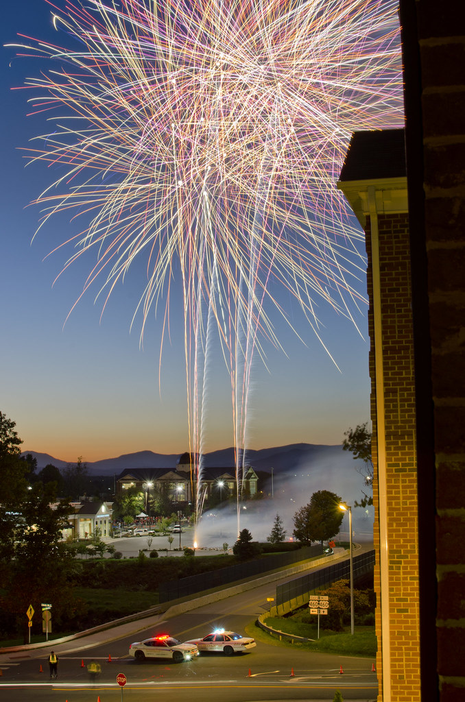
View from my room

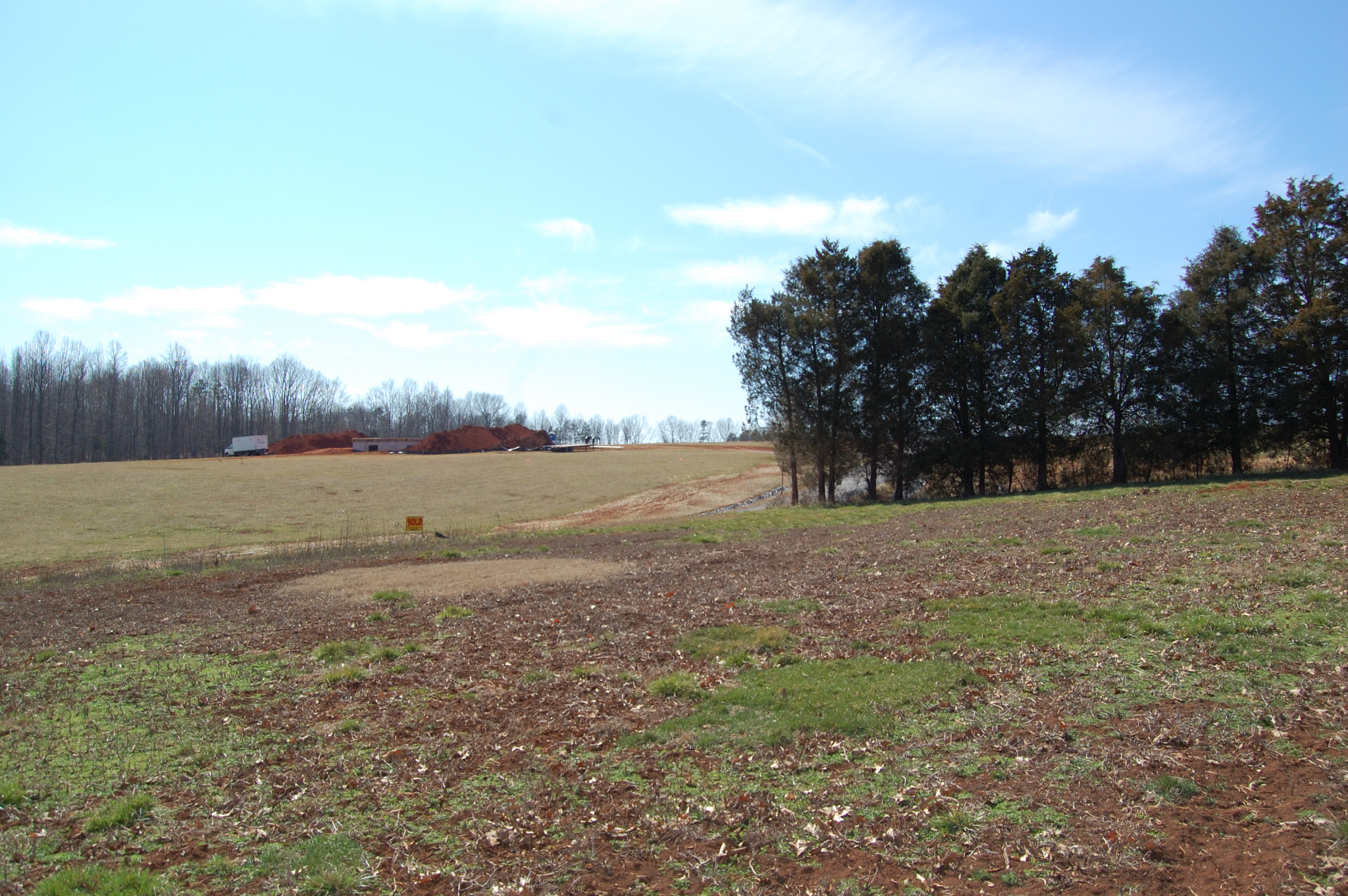
Clear Cut View
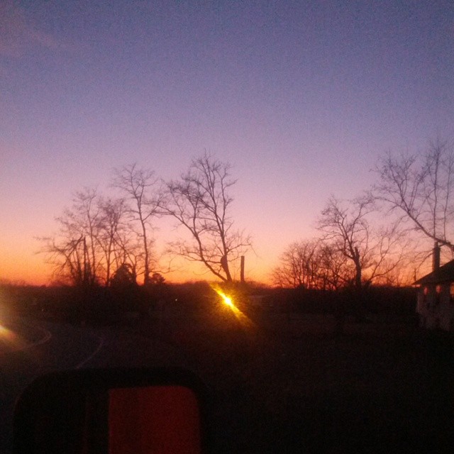
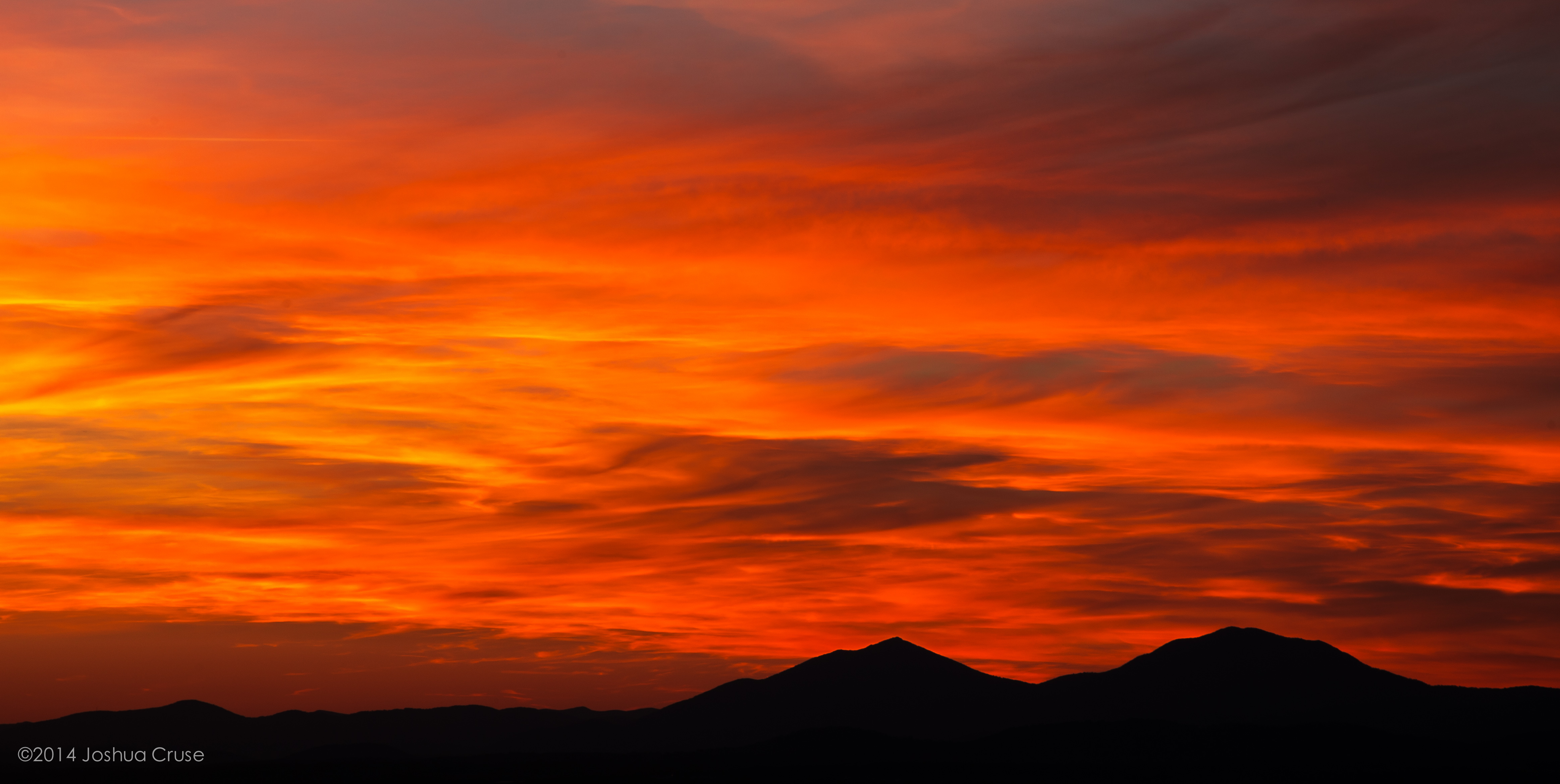
The view from my window in Virginia tonight. #Sunset #Virginia #VA
My view
From my view

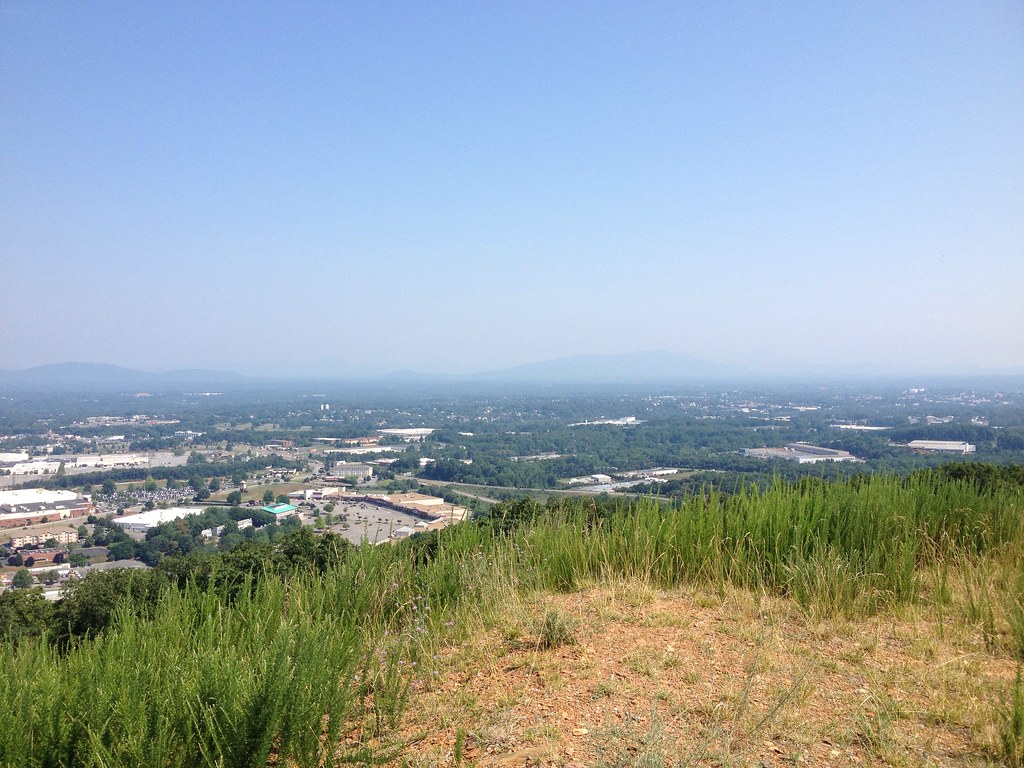
View of the Blue Ridge From Candler Mountain
Panned out view
Panned out view
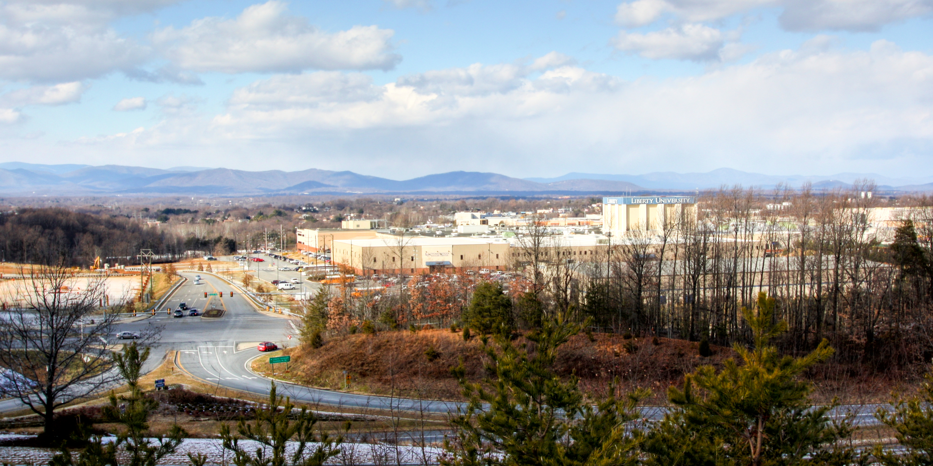
View of the Blue Ridge From Candler Mountain
View of the Blue Ridge From Candler Mountain

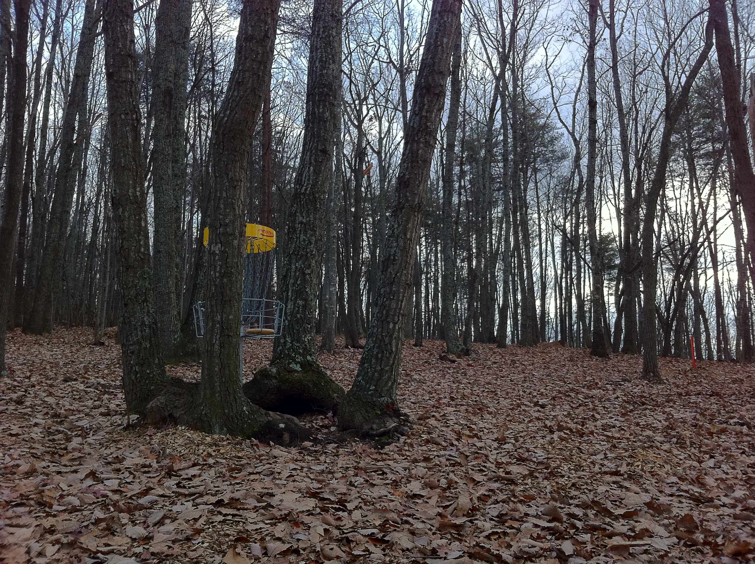
Hayline Ridge
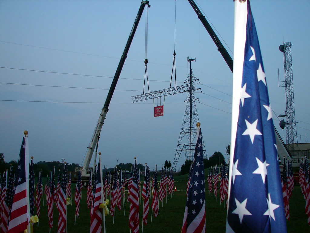
We cannot give enough thanks

Liberty University Defends Against Coastal Carolina Extra Point
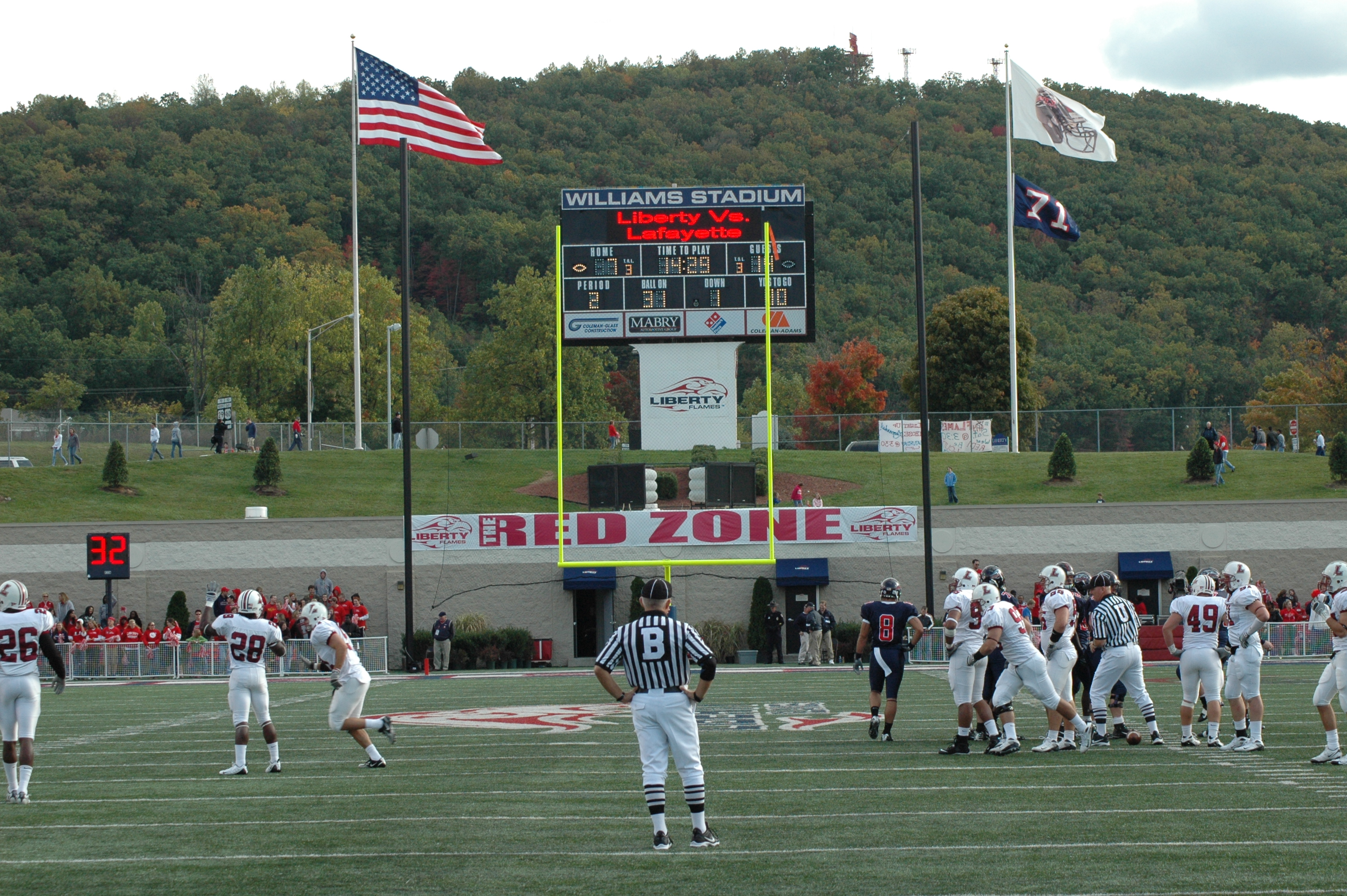
View From the End Zone
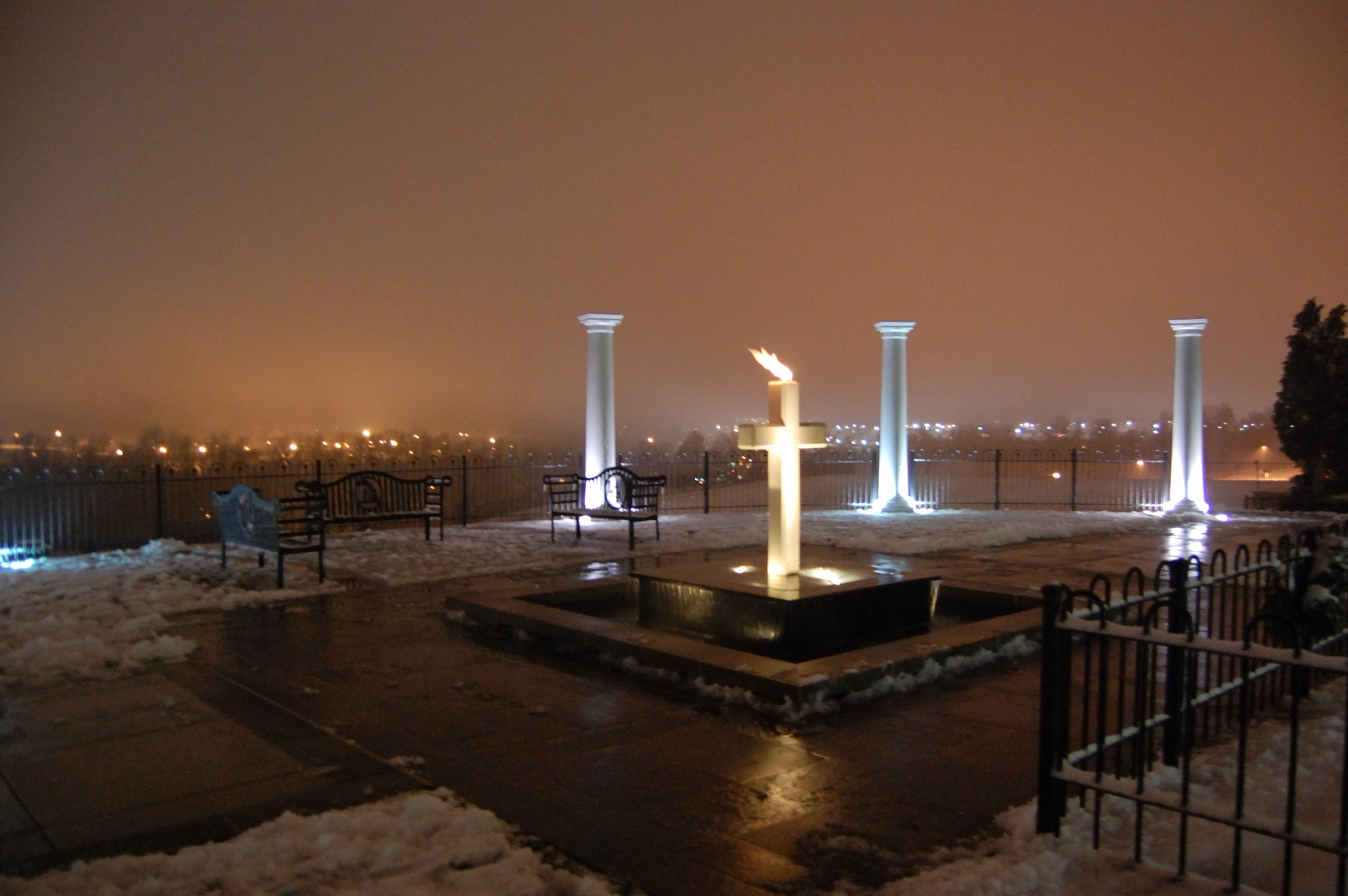
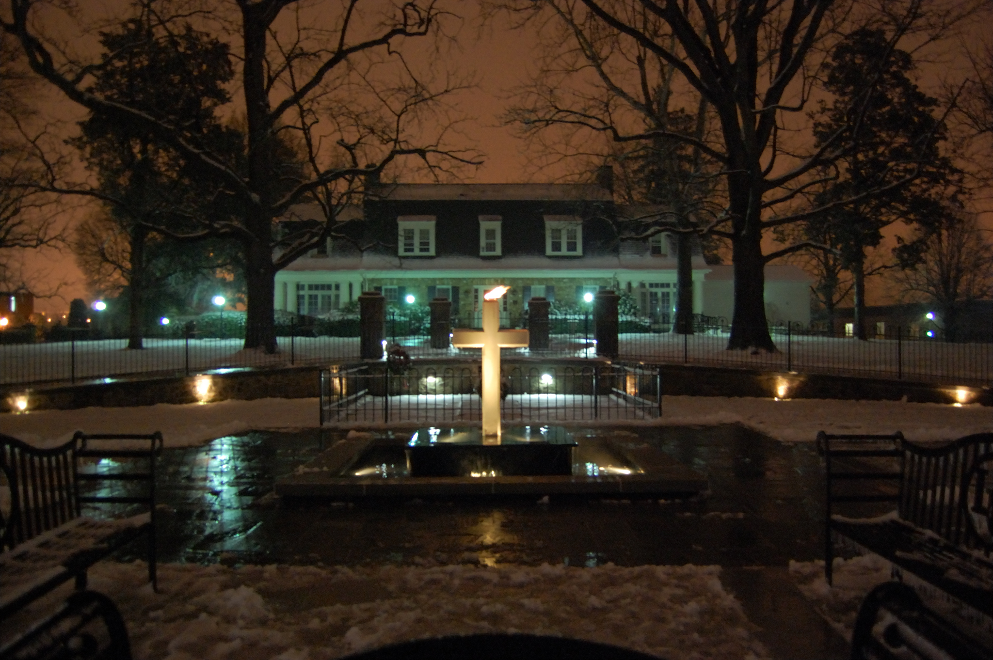
View of Lynchburg from Liberty Mountain
View facing down the street
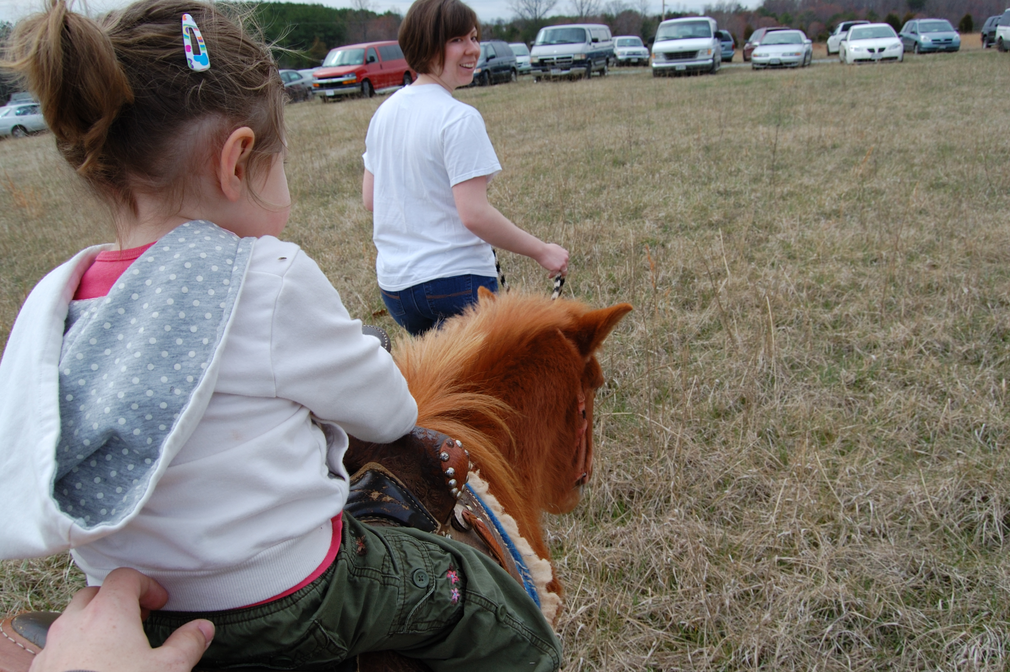
Over the shoulder view

Scout's view
View from the side facing the street
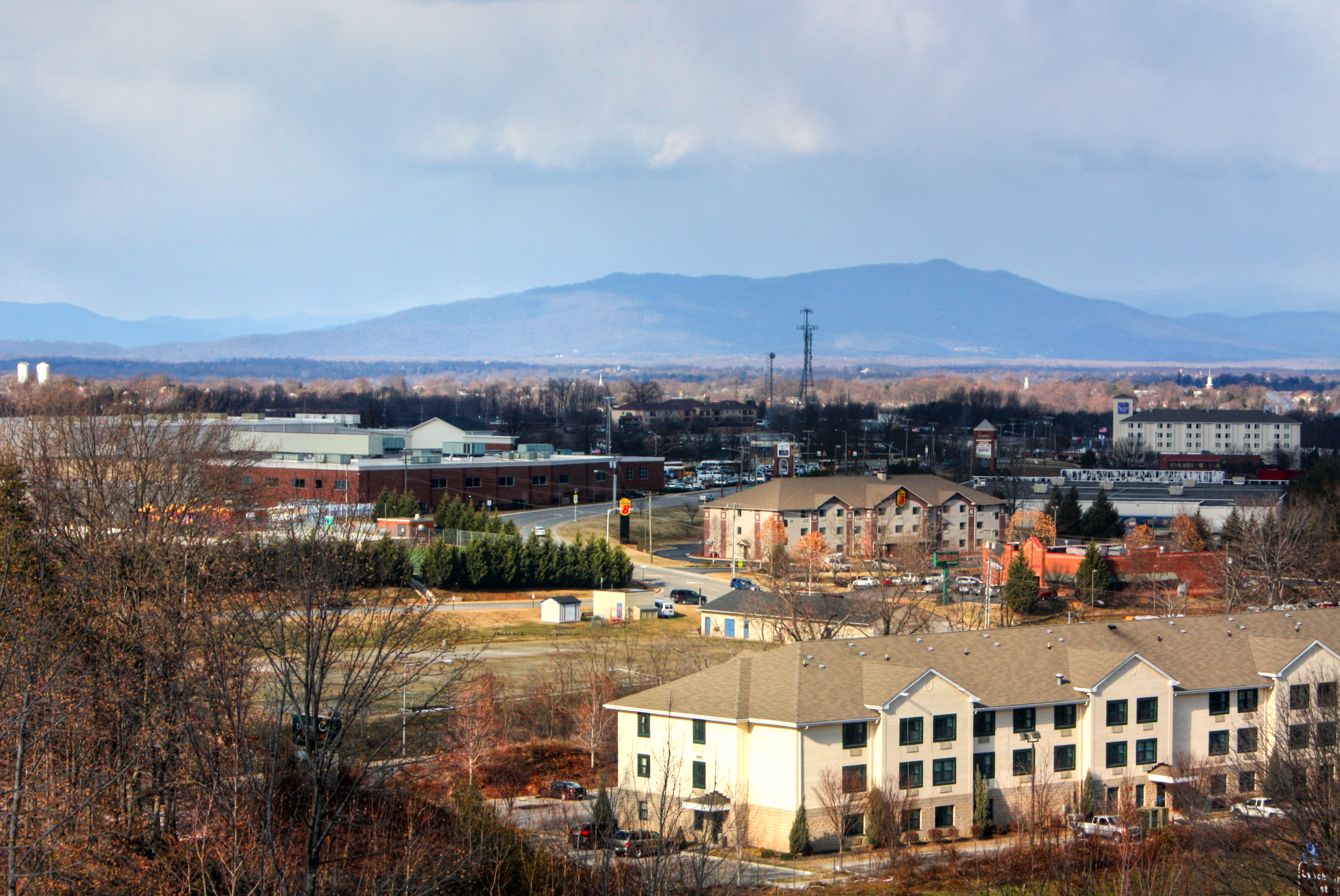
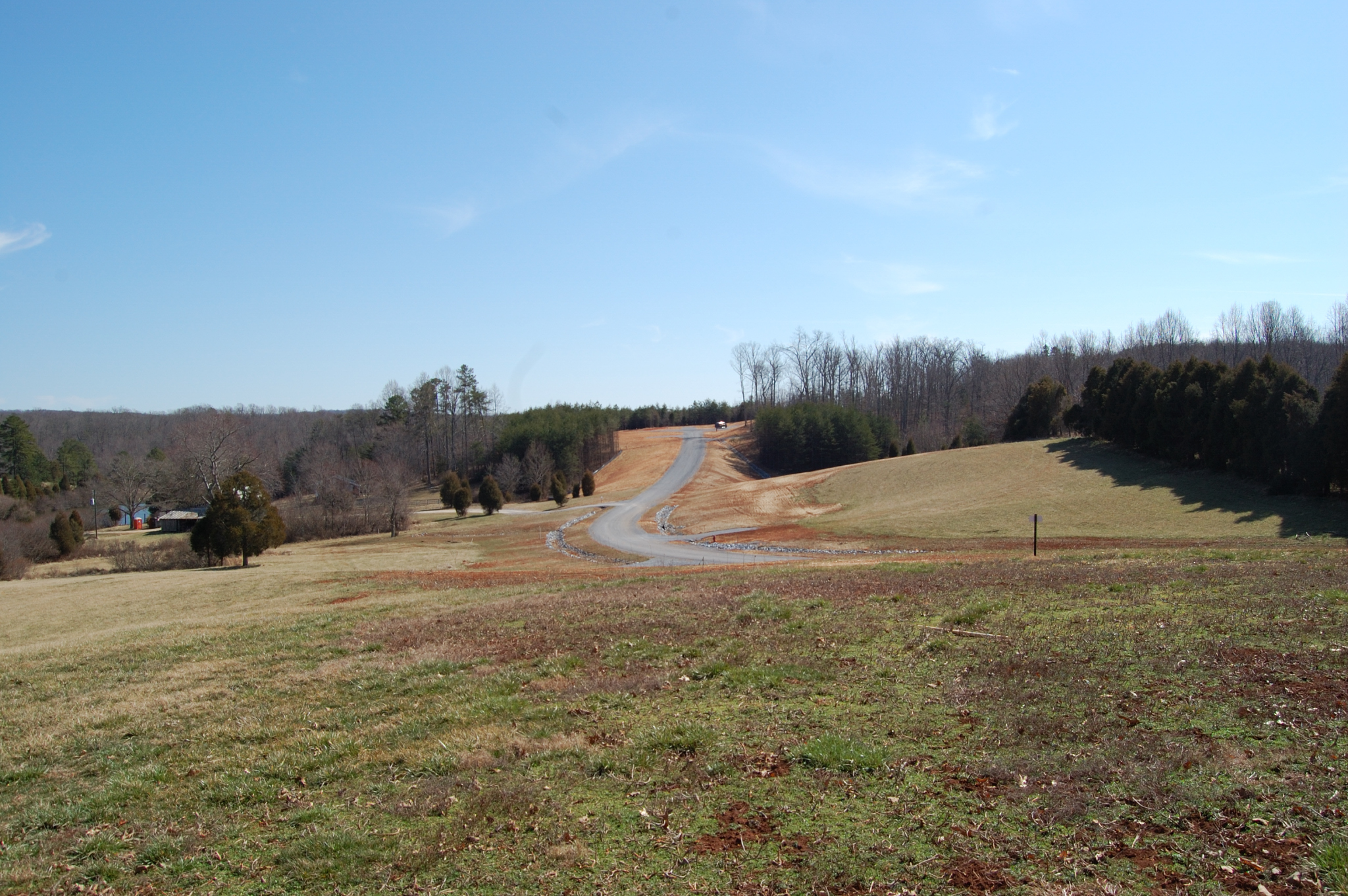
Distant Peaks

Another trip through Lynchburg, Va
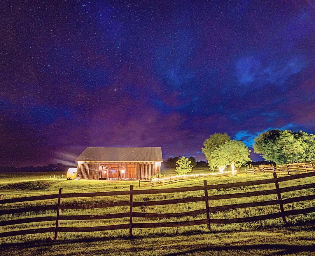
Headed to @sorellafarms today for a beautiful evening #wedding #Adammullinsphotography #sorella #weddingphotographer #farm #barn #stars #sky #weddingphotography #weddingplanning #weddinginsperation #weddingideas #engaged #engagedlife #theknot #vawedding

Mt. Zion Covered Bridge, Washington Co., KY

IMG_1711.JPG
Protected Pin

IMG_1767.JPG
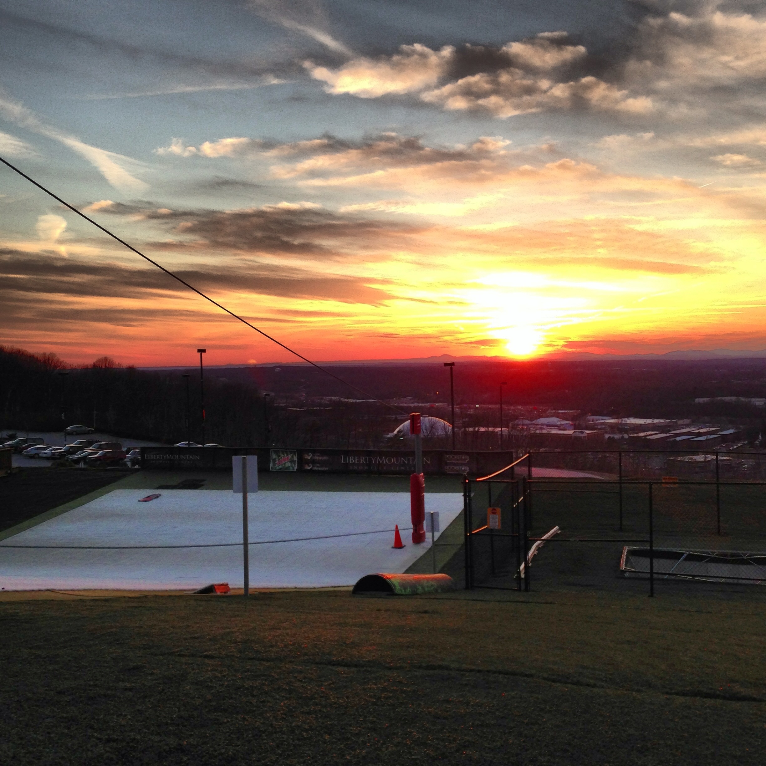
Sunset at Snowflex

IMG_1709.JPG
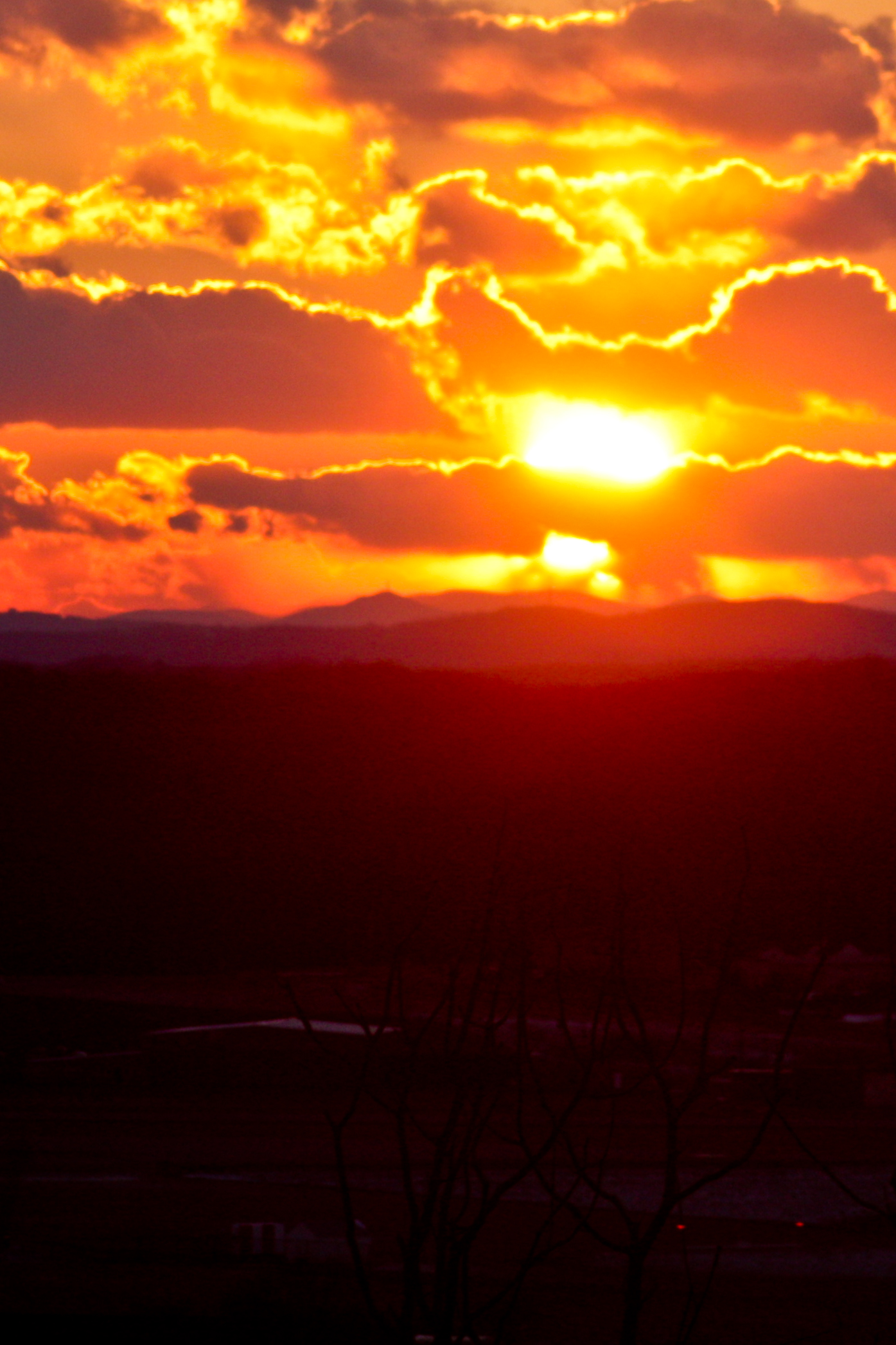
Sunset From Candler Mountain
Sunset at Sharp Top// Mornin' friends and Happy Saturday! Fall is coming and that brings much change: warm sweaters, leaf colors and Starbucks favors! Anyways, I hope your prepared for the change. Have a great day ;)

IMG_1706.JPG

IMG_1766.JPG

Lynchburg, Va....as seen from my hotel room window
back to basics

Lynchburg, Va....as seen from my hotel room window
Topographic Map of Brookneal Hwy, Gladys, VA, USA
Find elevation by address:

Places near Brookneal Hwy, Gladys, VA, USA:
Campbell County
Long Mountain Grocery Inc
Rustburg
Rustburg
Mollies Creek Rd, Gladys, VA, USA
Gladys
8759 Brookneal Hwy
Mitchell Mill Rd, Gladys, VA, USA
Colonial Hwy, Rustburg, VA, USA
Willow Lake Way
98 Garland Dr, Lynchburg, VA, USA
Seneca
English Tavern Rd, Rustburg, VA, USA
81 Pearson Dr
12171 Wards Rd N
Nighthawk Road
687 Shady Tree Ln
New Chapel Road
Long Mountain Drive
13260 Wards Rd
Recent Searches:
- Elevation of Côte-des-Neiges, Montreal, QC H4A 3J6, Canada
- Elevation of Bobcat Dr, Helena, MT, USA
- Elevation of Zu den Ihlowbergen, Althüttendorf, Germany
- Elevation of Badaber, Peshawar, Khyber Pakhtunkhwa, Pakistan
- Elevation of SE Heron Loop, Lincoln City, OR, USA
- Elevation of Slanický ostrov, 01 Námestovo, Slovakia
- Elevation of Spaceport America, Co Rd A, Truth or Consequences, NM, USA
- Elevation of Warwick, RI, USA
- Elevation of Fern Rd, Whitmore, CA, USA
- Elevation of 62 Abbey St, Marshfield, MA, USA