Elevation of Brookneal Hwy, Gladys, VA, USA
Location: United States > Virginia > Campbell County > Brookneal >
Longitude: -79.069827
Latitude: 37.156917
Elevation: 232m / 761feet
Barometric Pressure: 99KPa
Elevation Map:
Satellite Map:
Related Photos:
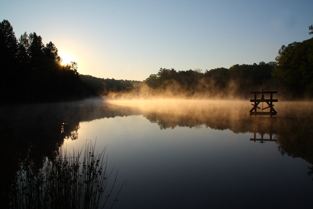
Hat Creek Retreat Sunrise

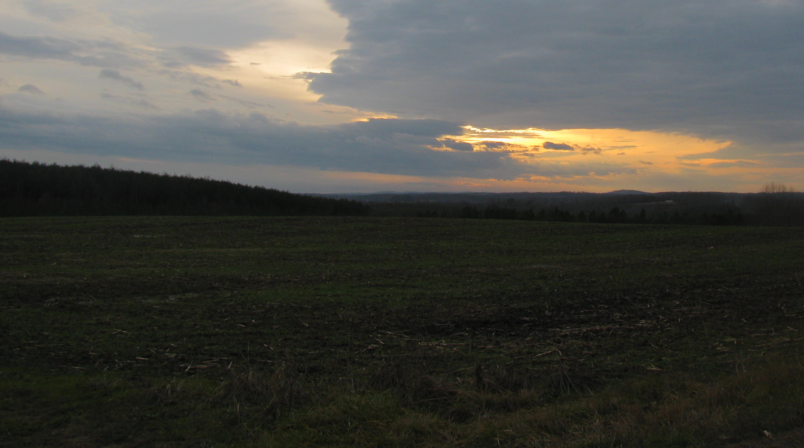
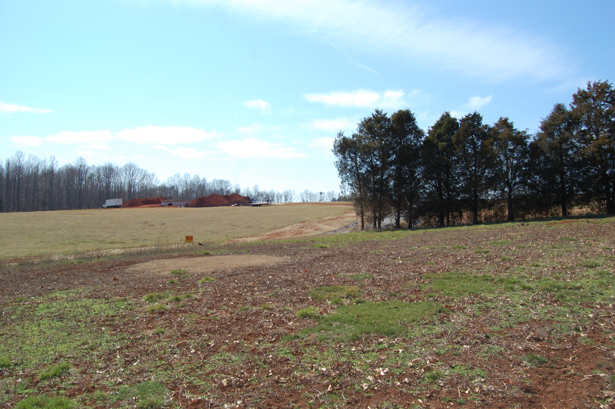
Clear Cut View

The view from my window in Virginia tonight. #Sunset #Virginia #VA
My view
From my view
View facing down the street
View from the side facing the street
Walking the dogs
It's Autumn, Virginia

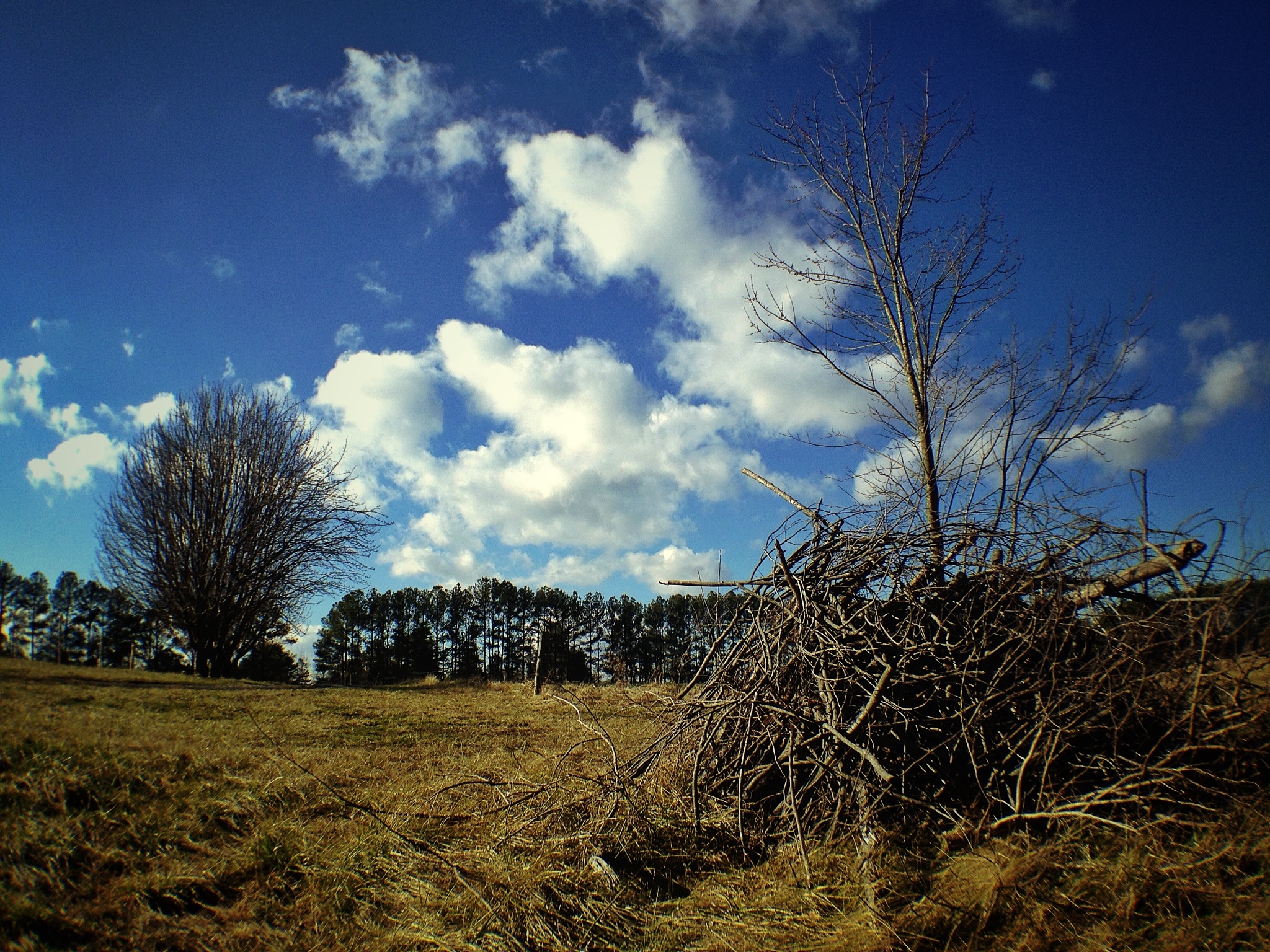
Bare Apple Tree
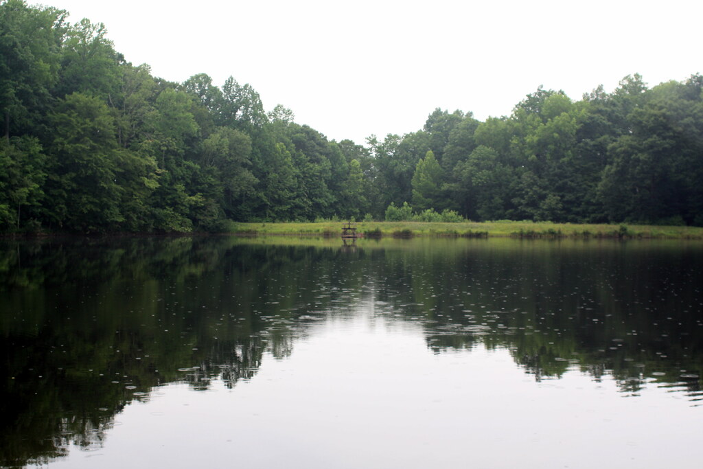
The "Lake"
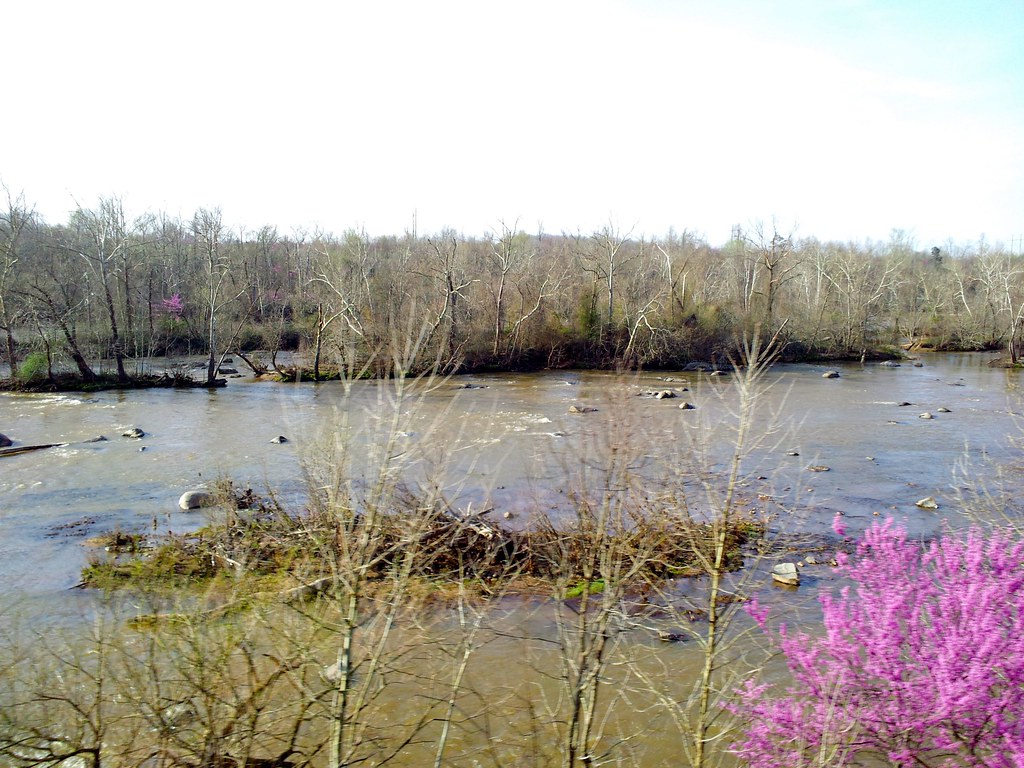
staunton river

Beautiful scene near staunton river
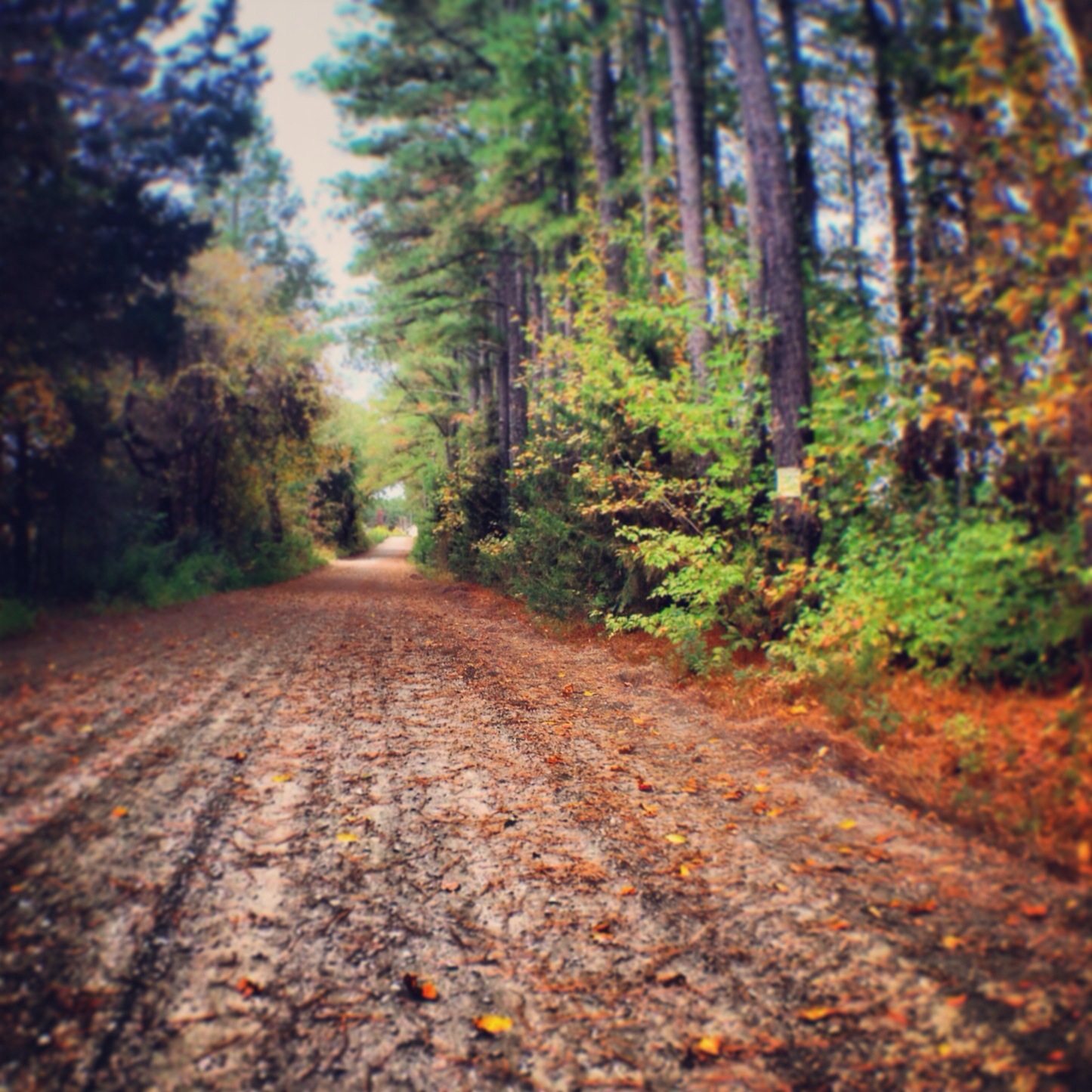
Railroad Road
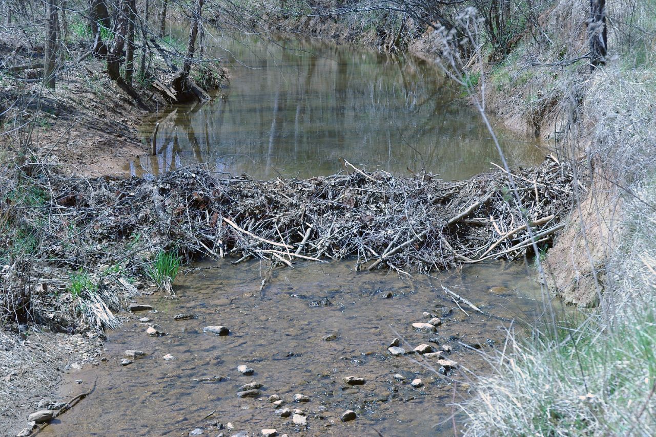
Dam Beavers
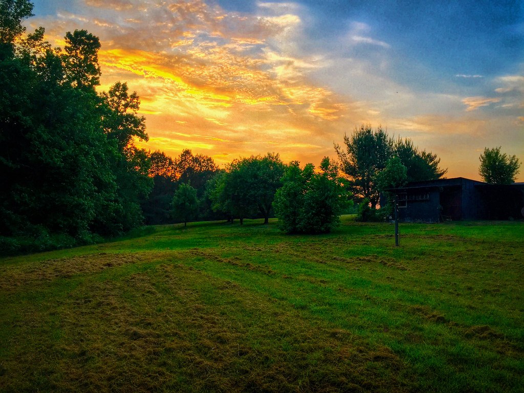
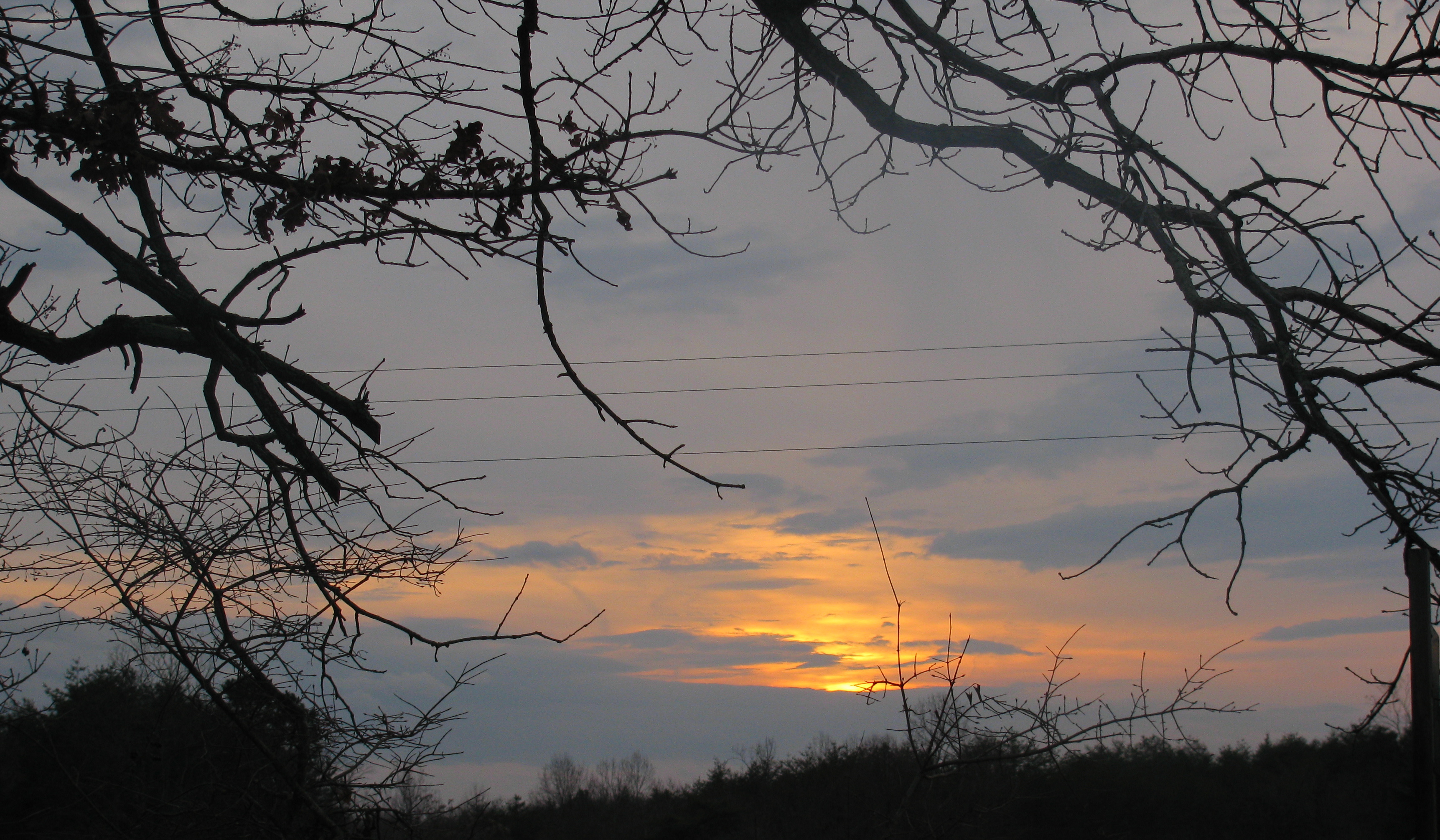
A Virginia Sunset
Topographic Map of Brookneal Hwy, Gladys, VA, USA
Find elevation by address:

Places near Brookneal Hwy, Gladys, VA, USA:
Gladys
Mitchell Mill Rd, Gladys, VA, USA
Mollies Creek Rd, Gladys, VA, USA
Goat Island Rd, Gladys, VA, USA
Brookneal
Brookneal Hwy, Gladys, VA, USA
Campbell County
74 Peak Pl, Long Island, VA, USA
Rustburg
9469 Red House Rd
Long Mountain Grocery Inc
Rustburg
Seneca
New Chapel Road
Staunton River Farm Road
Staunton River Farm Rd, Altavista, VA, USA
98 Garland Dr, Lynchburg, VA, USA
Colonial Hwy, Rustburg, VA, USA
Willow Lake Way
1173 Cherry Creek Rd
Recent Searches:
- Elevation of Spaceport America, Co Rd A, Truth or Consequences, NM, USA
- Elevation of Warwick, RI, USA
- Elevation of Fern Rd, Whitmore, CA, USA
- Elevation of 62 Abbey St, Marshfield, MA, USA
- Elevation of Fernwood, Bradenton, FL, USA
- Elevation of Felindre, Swansea SA5 7LU, UK
- Elevation of Leyte Industrial Development Estate, Isabel, Leyte, Philippines
- Elevation of W Granada St, Tampa, FL, USA
- Elevation of Pykes Down, Ivybridge PL21 0BY, UK
- Elevation of Jalan Senandin, Lutong, Miri, Sarawak, Malaysia