Elevation of 74 Peak Pl, Long Island, VA, USA
Location: United States > Virginia > Campbell County > Brookneal >
Longitude: -79.095176
Latitude: 37.0779719
Elevation: 161m / 528feet
Barometric Pressure: 99KPa
Elevation Map:
Satellite Map:
Related Photos:
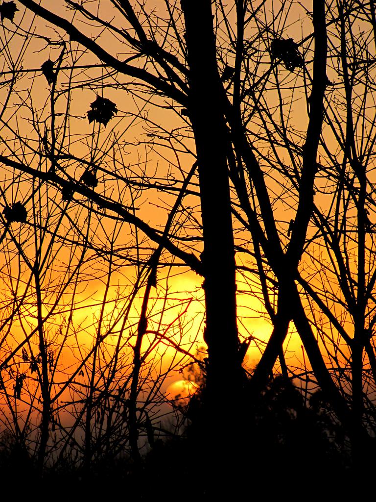
Golden Sunrise

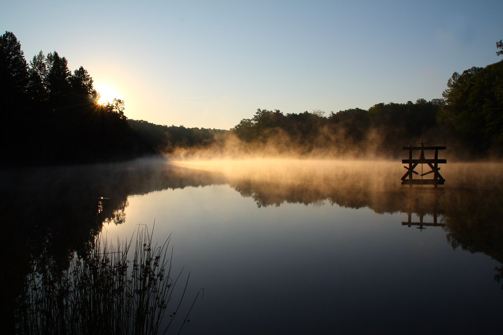
Fog and Sunrise on the Staunton

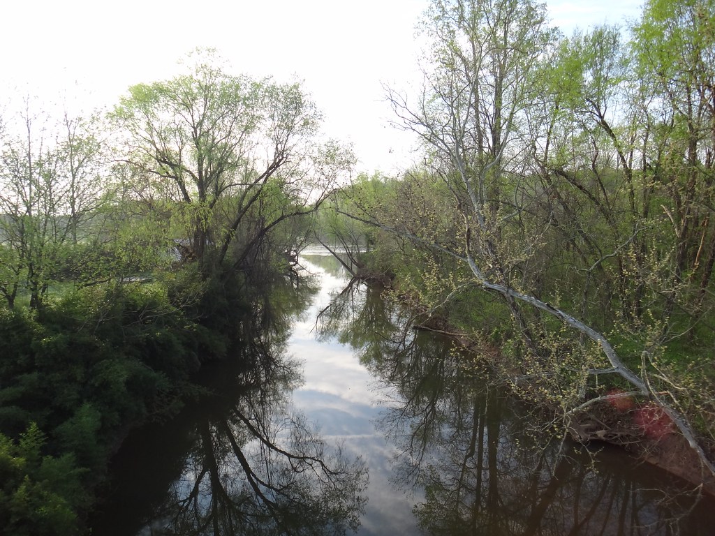
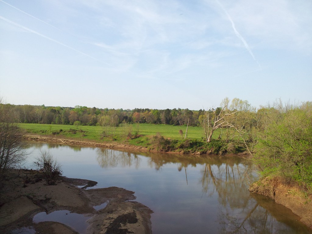
Along the Shore of the Staunton River
Brookneal Art Deco, 1945 3
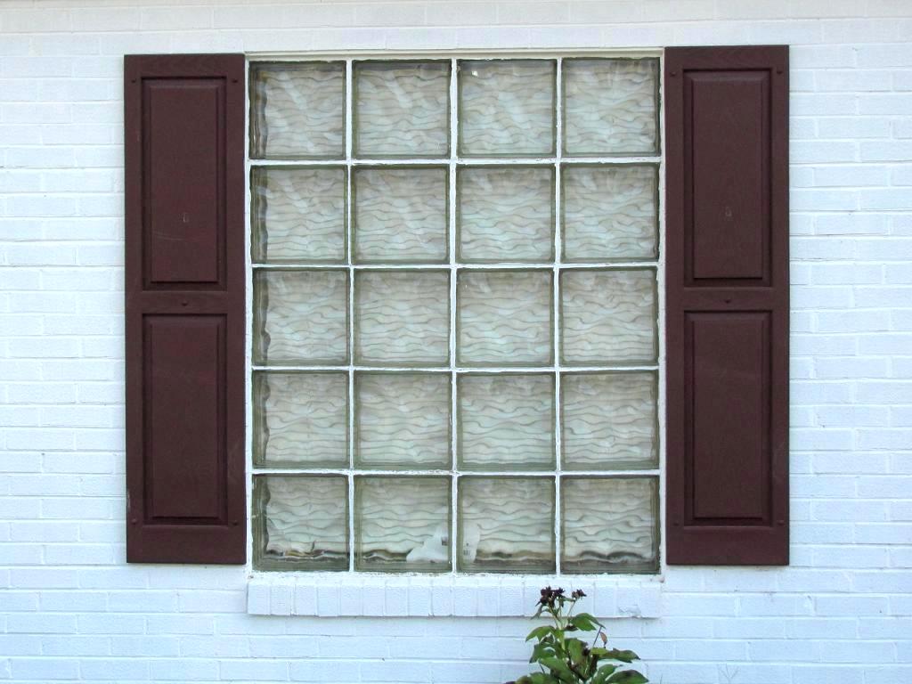
Brookneal Art Deco, 1945 (Glass Block) 4
Hat Creek Retreat Sunrise
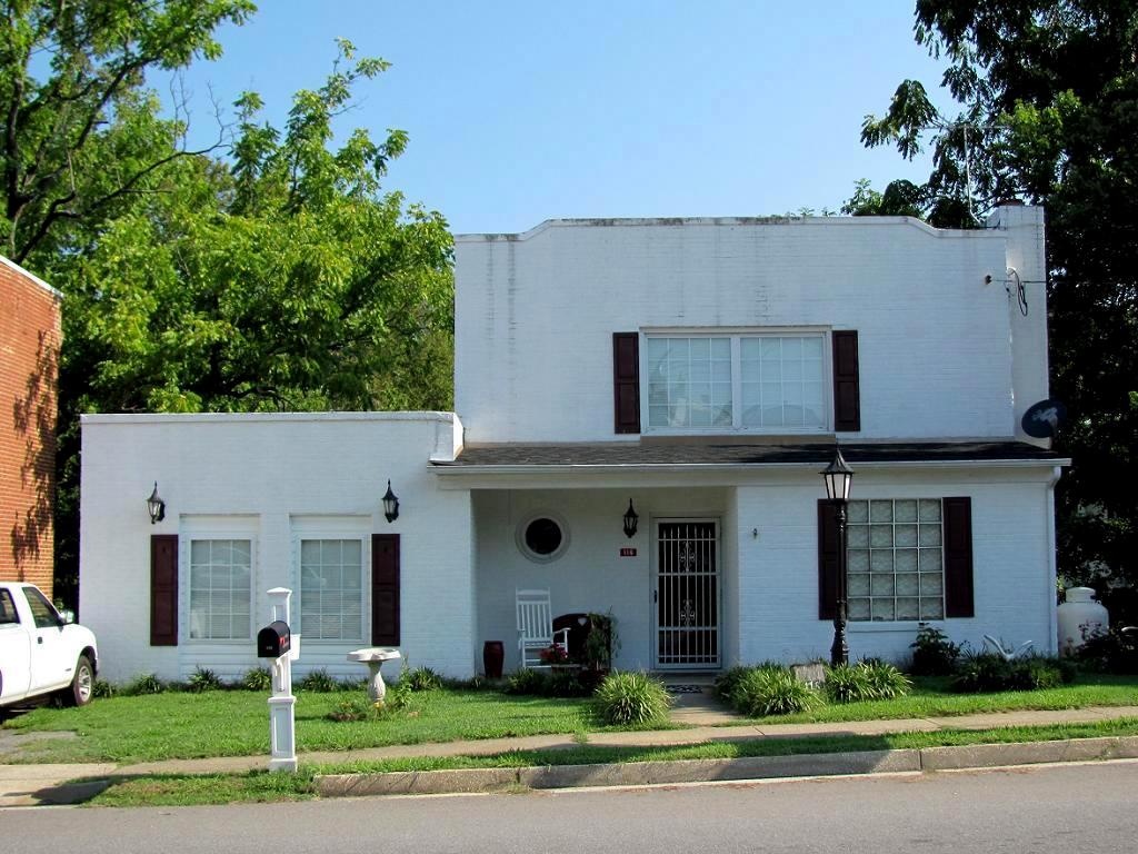
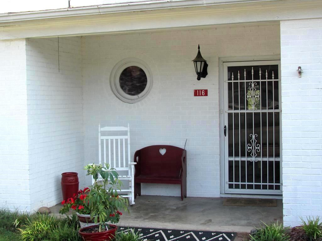
Brookneal Art Deco, 1945 1
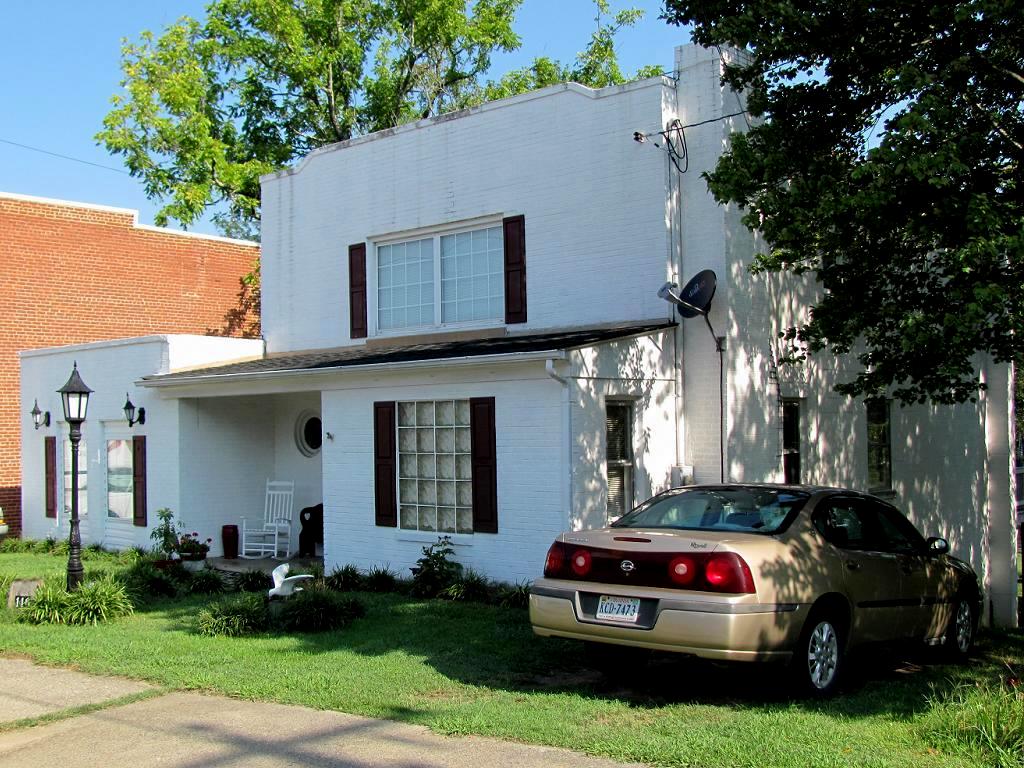
Brookneal Art Deco, 1945 2

River Bank
My view
From my view

Lost Bucket = Cool View

Mt. Zion Covered Bridge, Washington Co., KY

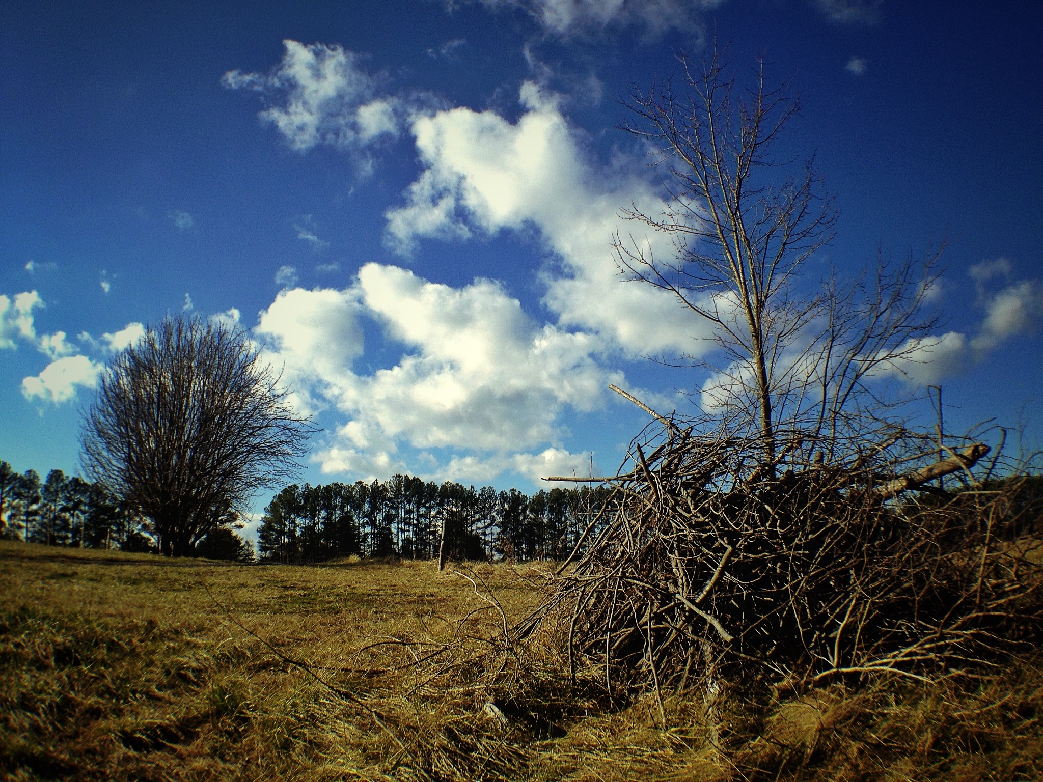
Bare Apple Tree
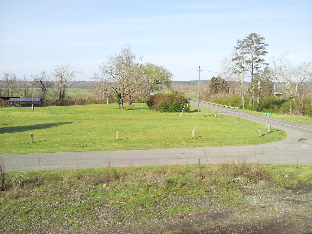
Walking the dogs

Staunton River
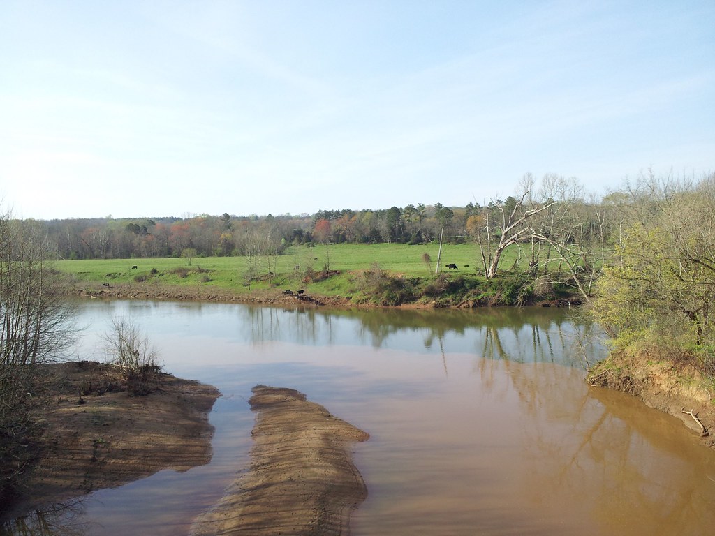
Staunton river near Altavista
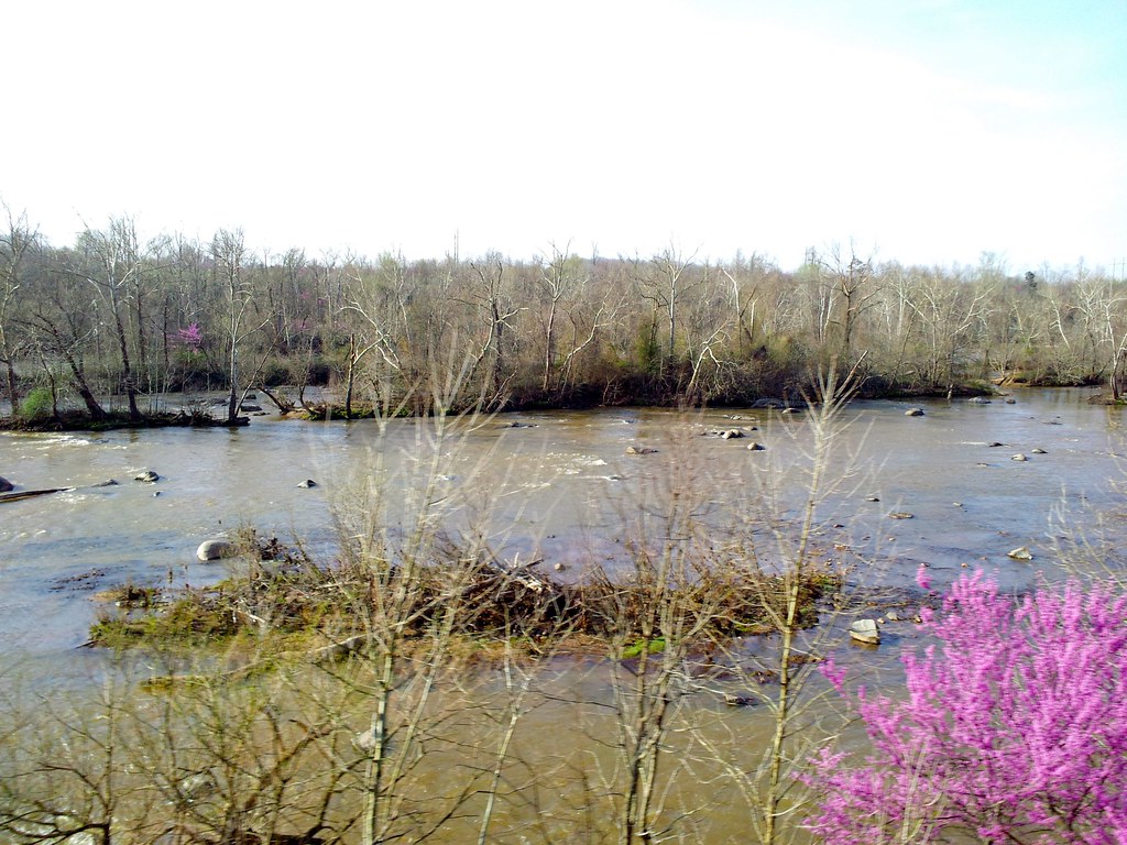
staunton river
Creek near Seneca

Clouds are Clearing
Staunton River

Beautiful scene near staunton river
Railroad Road
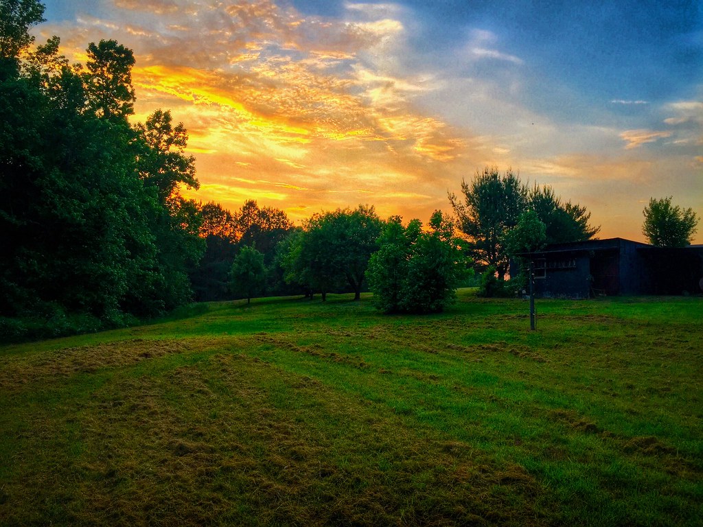
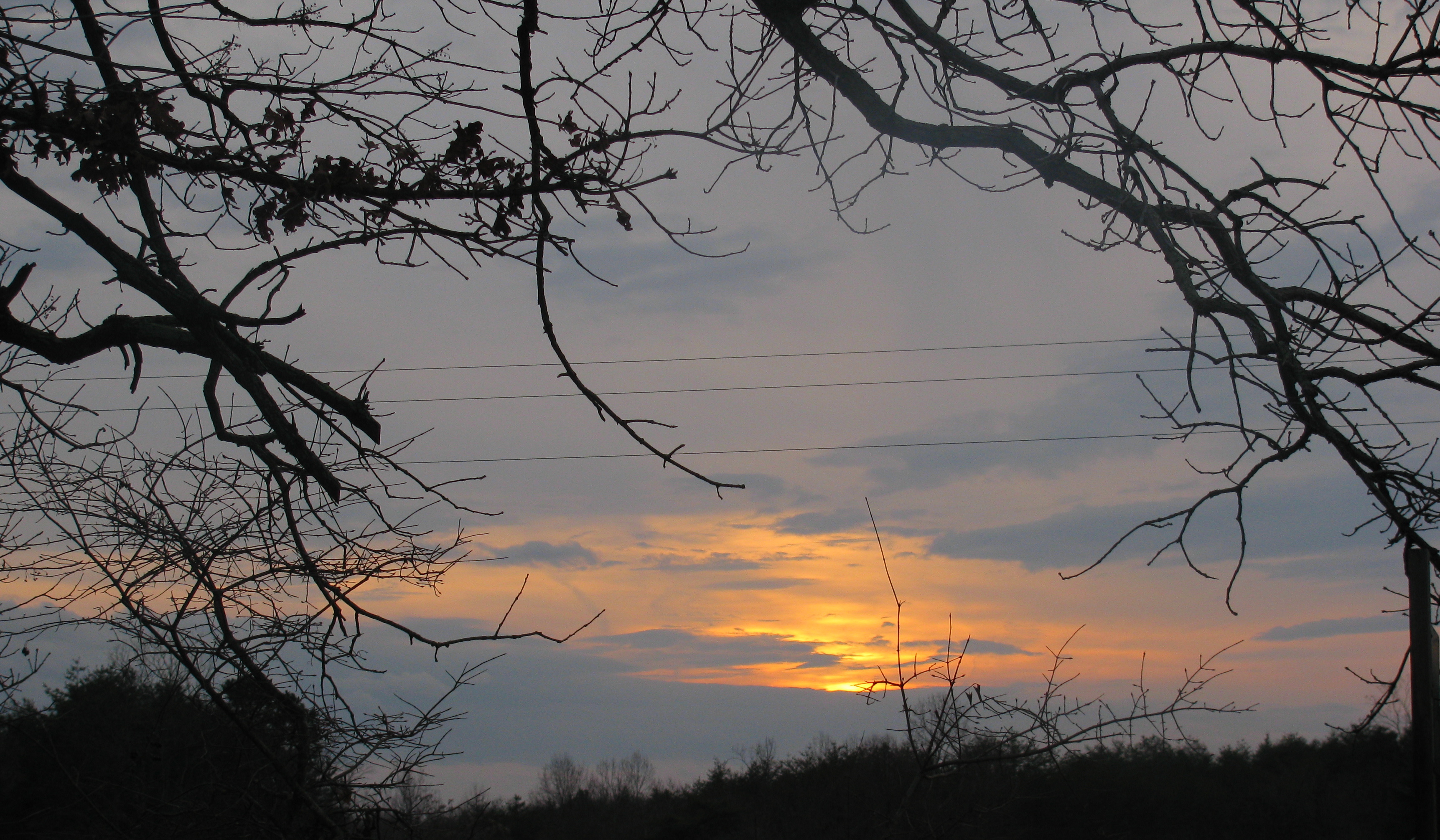
A Virginia Sunset
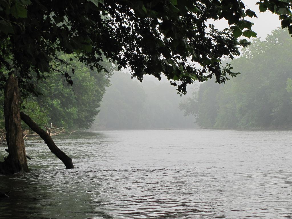
Moody River
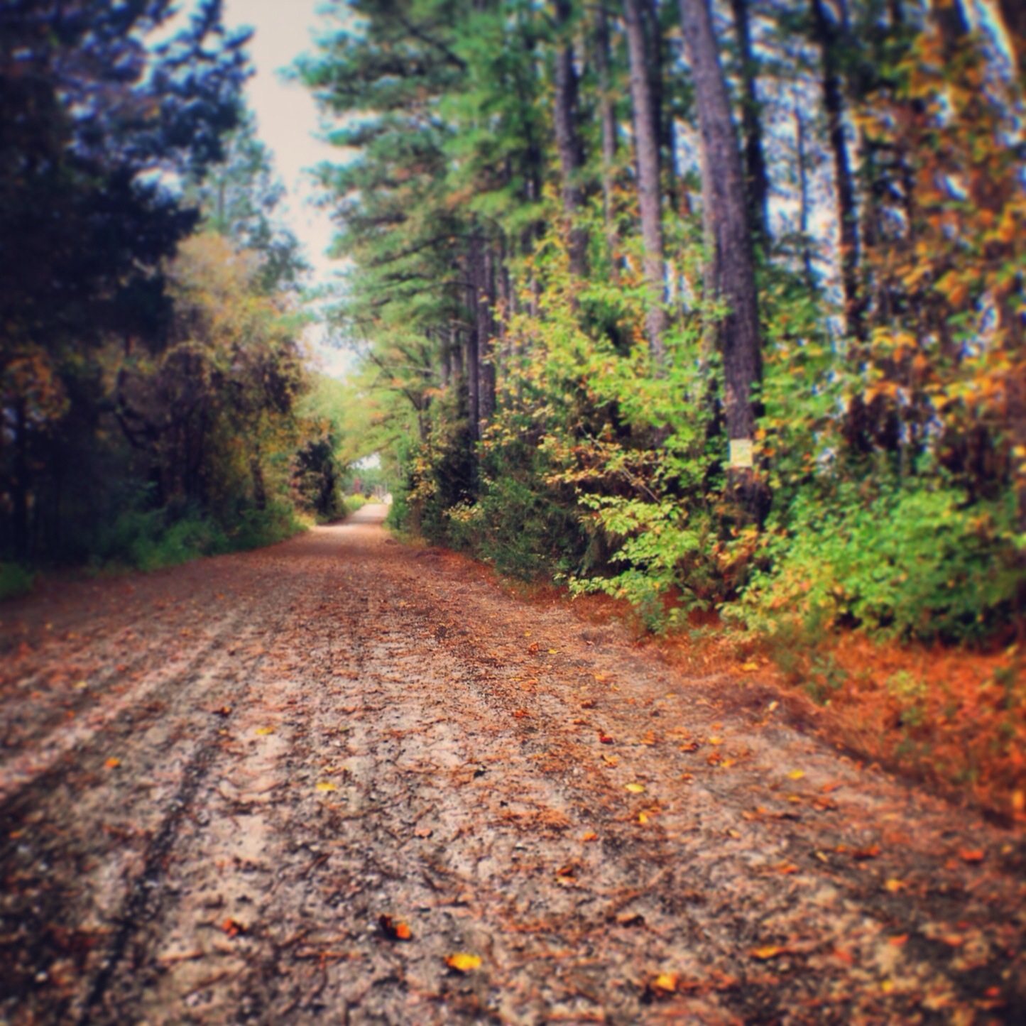
It's Autumn, Virginia
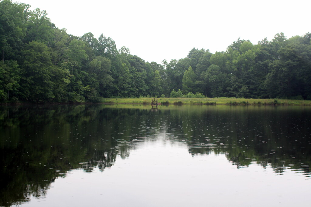
The "Lake"

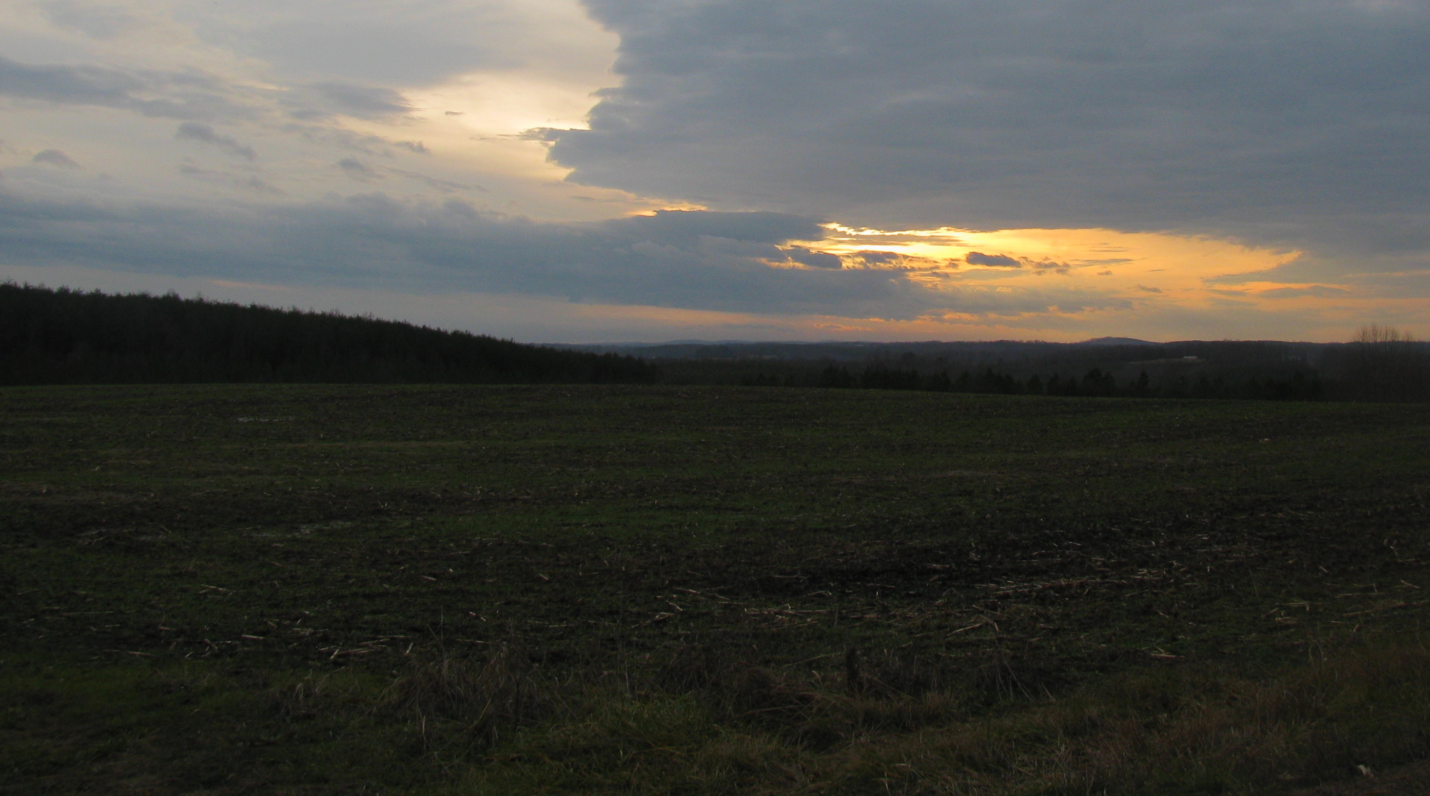
Woods at Daybreak
Topographic Map of 74 Peak Pl, Long Island, VA, USA
Find elevation by address:

Places near 74 Peak Pl, Long Island, VA, USA:
Goat Island Rd, Gladys, VA, USA
1173 Cherry Creek Rd
Mitchell Mill Rd, Gladys, VA, USA
8759 Brookneal Hwy
6856 Level Run Rd
Gladys
Staunton River Farm Rd, Altavista, VA, USA
Robertson Rd, Hurt, VA, USA
Staunton River Farm Road
3119 Stage Coach Rd
Brookneal
Mollies Creek Rd, Gladys, VA, USA
Hermosa Rd, Gretna, VA, USA
Campbell County
Brookneal Hwy, Gladys, VA, USA
Brookneal
246 The Main Cultural Arts Theatre
31 Bank Rd
Roark Mill Rd, Hurt, VA, USA
Rustburg
Recent Searches:
- Elevation of W Granada St, Tampa, FL, USA
- Elevation of Pykes Down, Ivybridge PL21 0BY, UK
- Elevation of Jalan Senandin, Lutong, Miri, Sarawak, Malaysia
- Elevation of Bilohirs'k
- Elevation of 30 Oak Lawn Dr, Barkhamsted, CT, USA
- Elevation of Luther Road, Luther Rd, Auburn, CA, USA
- Elevation of Unnamed Road, Respublika Severnaya Osetiya — Alaniya, Russia
- Elevation of Verkhny Fiagdon, North Ossetia–Alania Republic, Russia
- Elevation of F. Viola Hiway, San Rafael, Bulacan, Philippines
- Elevation of Herbage Dr, Gulfport, MS, USA