Elevation of New Chapel Road, New Chapel Rd, Virginia, USA
Location: United States > Virginia > Campbell County > Rustburg > Rustburg >
Longitude: -78.986205
Latitude: 37.2614735
Elevation: 220m / 722feet
Barometric Pressure: 99KPa
Elevation Map:
Satellite Map:
Related Photos:

2019 04-20 1426-5 UP-CNW SD70ACe-1995 E/B 188 Concord, VA

Over the shoulder view

view down the railroad tracks
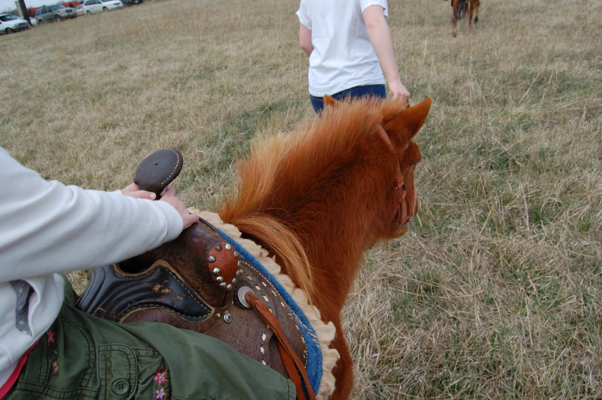
Scout's view
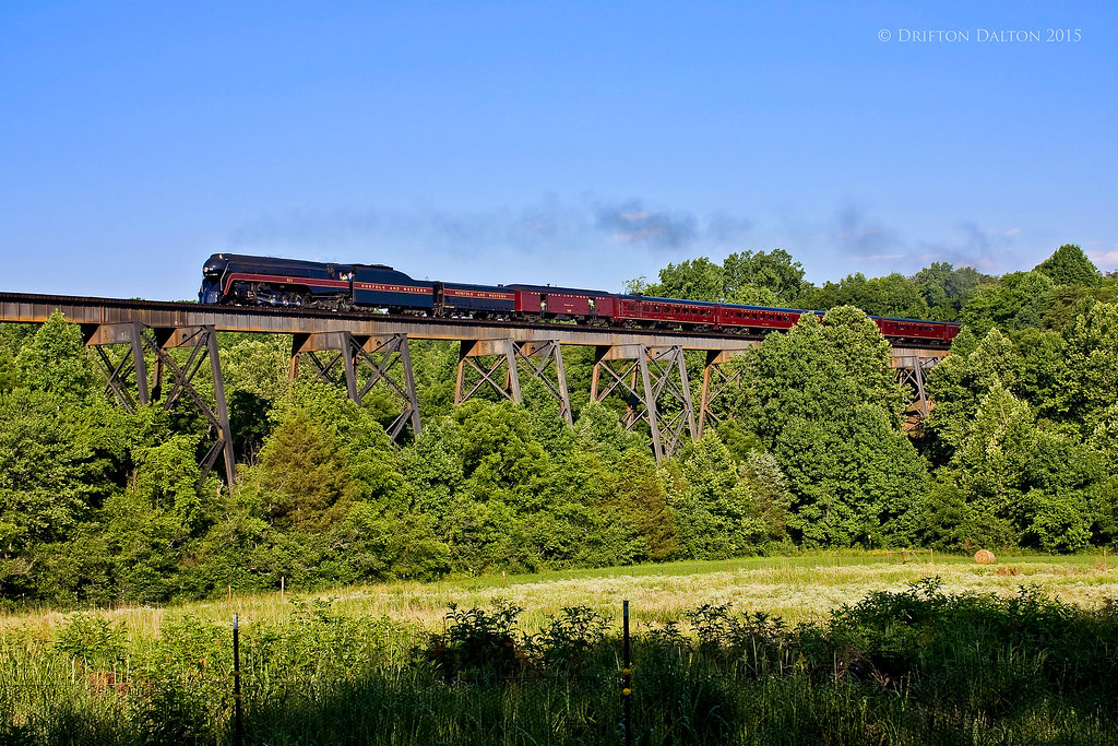
N&W 611 Over Possum Creek Trestle

Field near Appomattox

House near Appomattox

Pretty Scenery

2020 - 4 - 2 - L to R - MEG - FEATHER - HUCK - AYLA - GUS w mom - 4 days old

2020 - 4 - 2 - Top to Bottom - MEG - FEATHER - HUCK - AYLA - 3 days old

old house along Mt. Athos Rd. near Lynchburg

old tobacco barn at Oxford Furnace

Norfolk & Western Railway steam locomotive 611

abandoned house in Campbell County, Virginia

old tobacco barn at Oxford Furnace

Colt Police Positive. 38 Special. Reblued and made to look new

Krise Building in downtown Lynchburg

AR 15 - Old Style. Graphite Black

Colt, S&W & Webley. 45 Cal. Reblued.

Remington 700 - Reblued

Woodland Camo Cerakote Holster

Marlin 30 - Cerakote Graphite Black

FN FAL - Cerakote Graphite Black

.458 SOCOM KRYTEK

S&W 4” Barrel - Reblued

S&W reblued
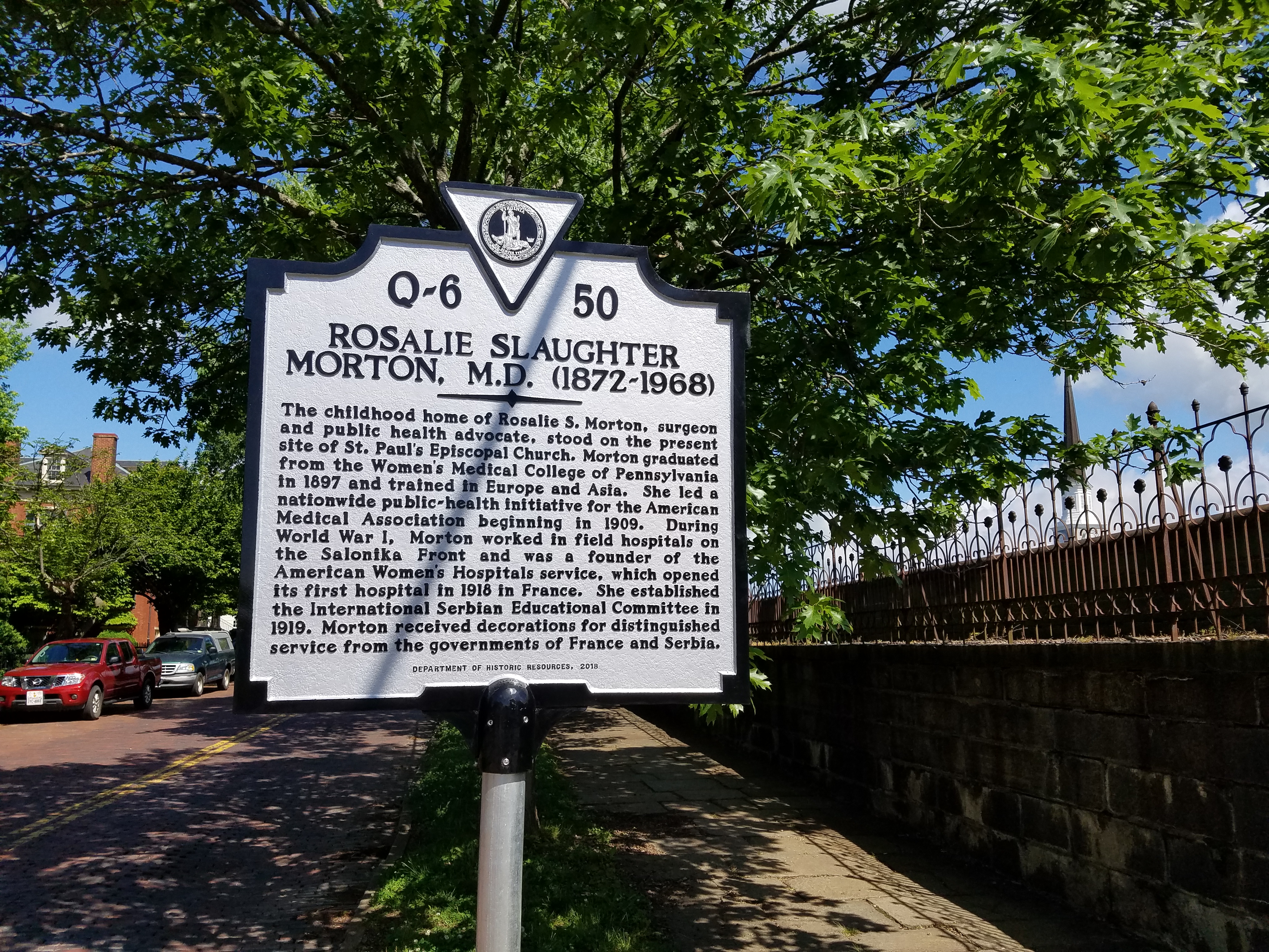
Virginia Historical Marker - Rosalie Slaughter Morton, M.D. (1872-1968)

Multi-Cam holsters
Topographic Map of New Chapel Road, New Chapel Rd, Virginia, USA
Find elevation by address:

Places near New Chapel Road, New Chapel Rd, Virginia, USA:
7470 New Chapel Rd
Rustburg
9469 Red House Rd
687 Shady Tree Ln
Spring Mill Rd, Concord, VA, USA
98 Garland Dr, Lynchburg, VA, USA
Concord
Mollies Creek Rd, Gladys, VA, USA
12987 Richmond Hwy
Long Mountain Drive
Richmond Highway
Richmond Highway
Long Mountain Grocery Inc
Double Bridges Road
Nighthawk Road
645 Crescent Dr
Brookneal Hwy, Gladys, VA, USA
Brookneal
Concord
Rustburg
Recent Searches:
- Elevation of Lampiasi St, Sarasota, FL, USA
- Elevation of Elwyn Dr, Roanoke Rapids, NC, USA
- Elevation of Congressional Dr, Stevensville, MD, USA
- Elevation of Bellview Rd, McLean, VA, USA
- Elevation of Stage Island Rd, Chatham, MA, USA
- Elevation of Shibuya Scramble Crossing, 21 Udagawacho, Shibuya City, Tokyo -, Japan
- Elevation of Jadagoniai, Kaunas District Municipality, Lithuania
- Elevation of Pagonija rock, Kranto 7-oji g. 8"N, Kaunas, Lithuania
- Elevation of Co Rd 87, Jamestown, CO, USA
- Elevation of Tenjo, Cundinamarca, Colombia