Elevation of West Topsham, Topsham, VT, USA
Location: United States > Vermont > Orange County > Topsham >
Longitude: -72.311763
Latitude: 44.1150637
Elevation: 371m / 1217feet
Barometric Pressure: 97KPa
Elevation Map:
Satellite Map:
Related Photos:
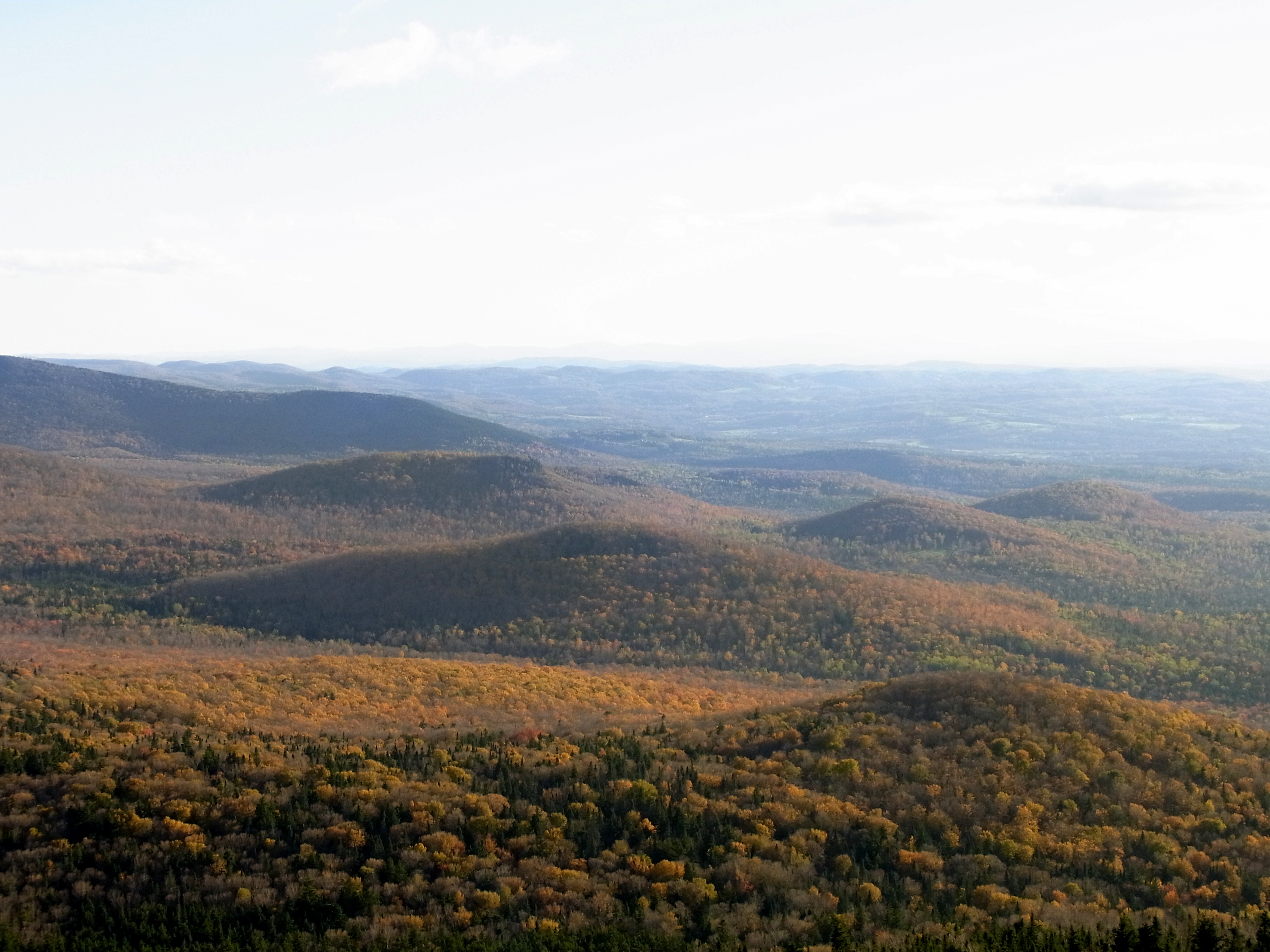
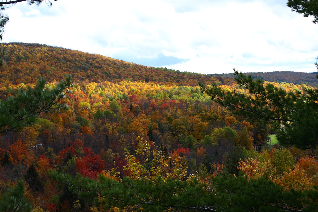
Spruce Mountain, Vermont
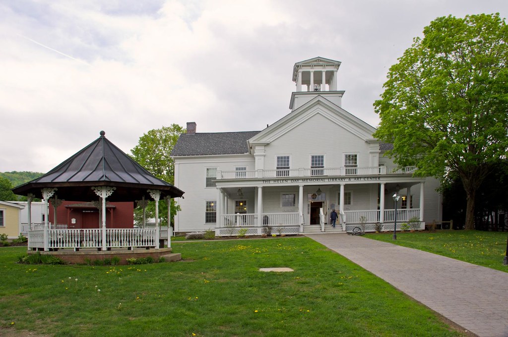
Stowe Free Library

Spruce Mountain, Vermont
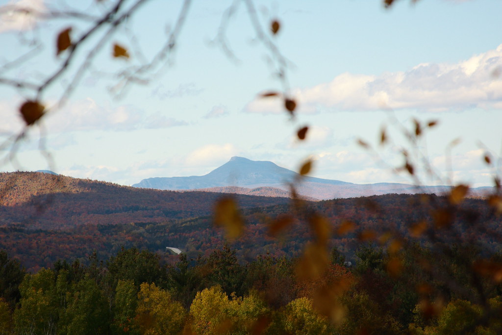
View of Camel's Hump

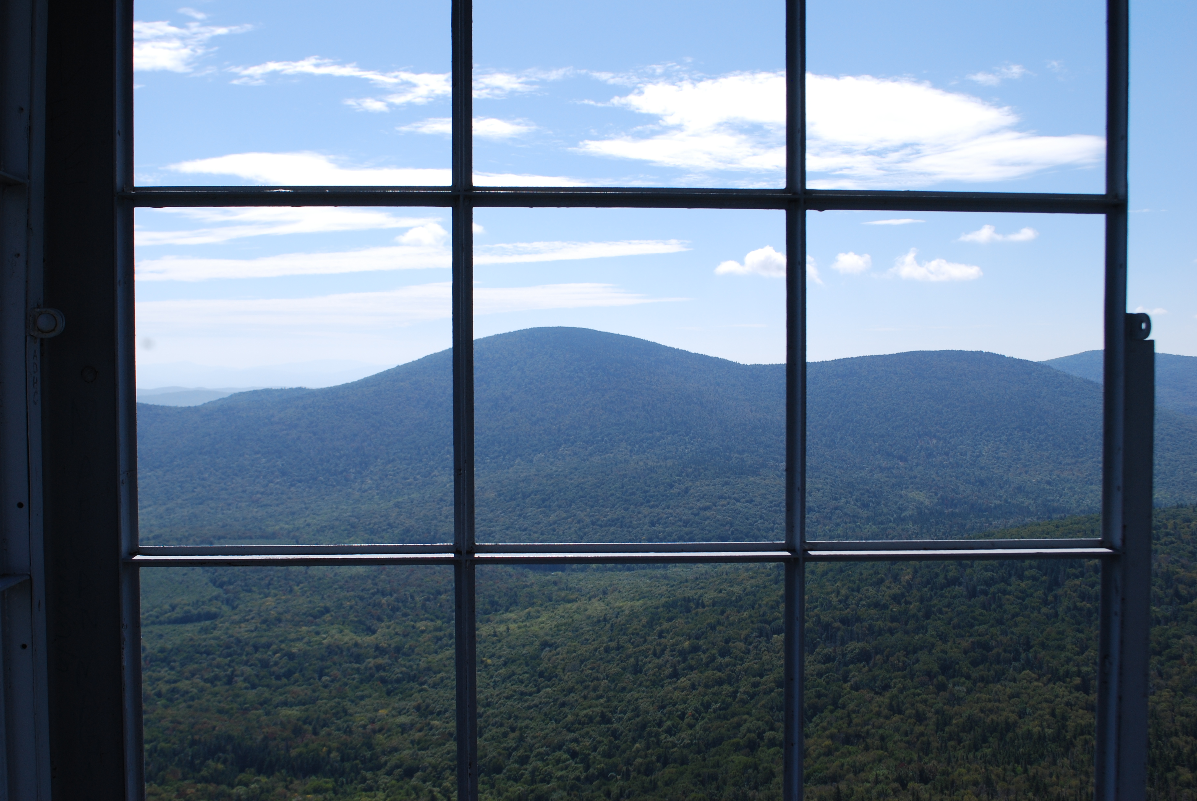
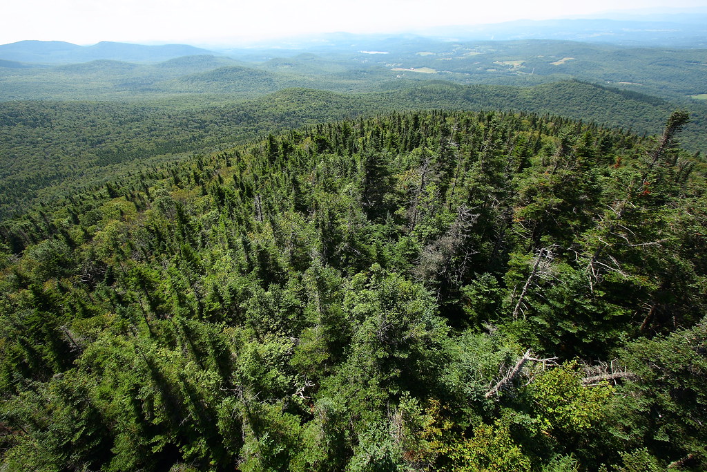
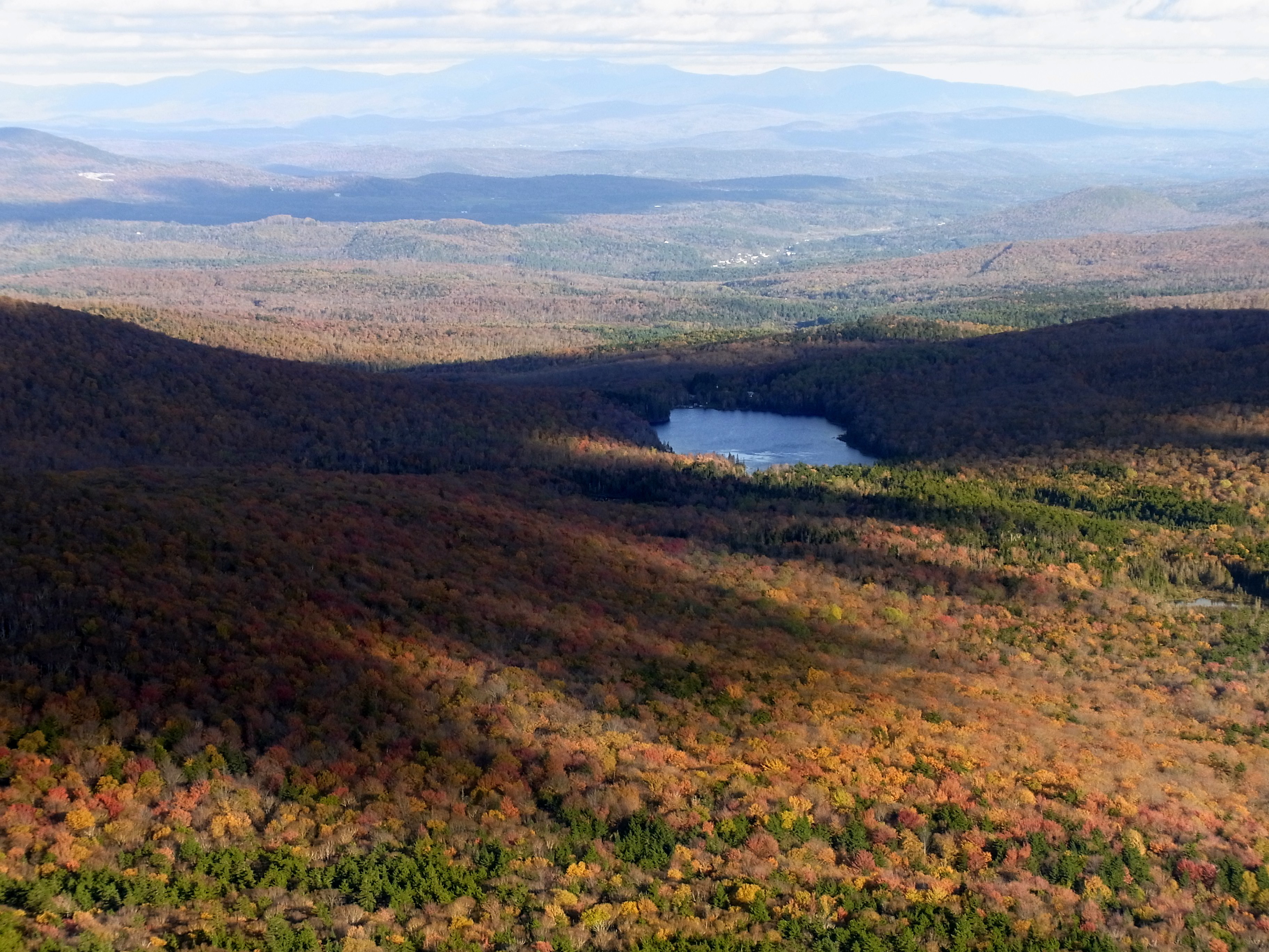
View from the Fire Tower
Fire Tower View (3)
Spruce Lookout View
Up On Spruce Mountain

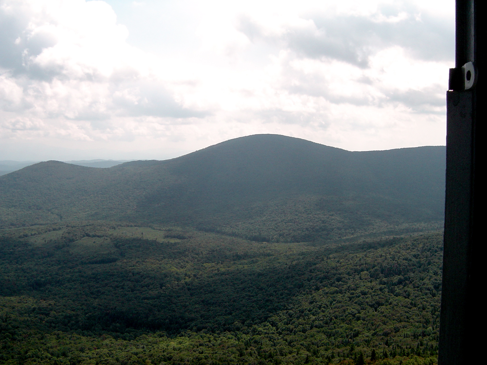
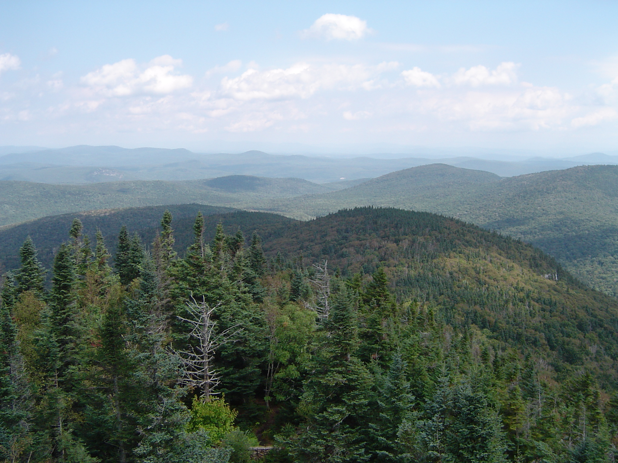
Fire Tower View (2)
Fire Tower View (1)
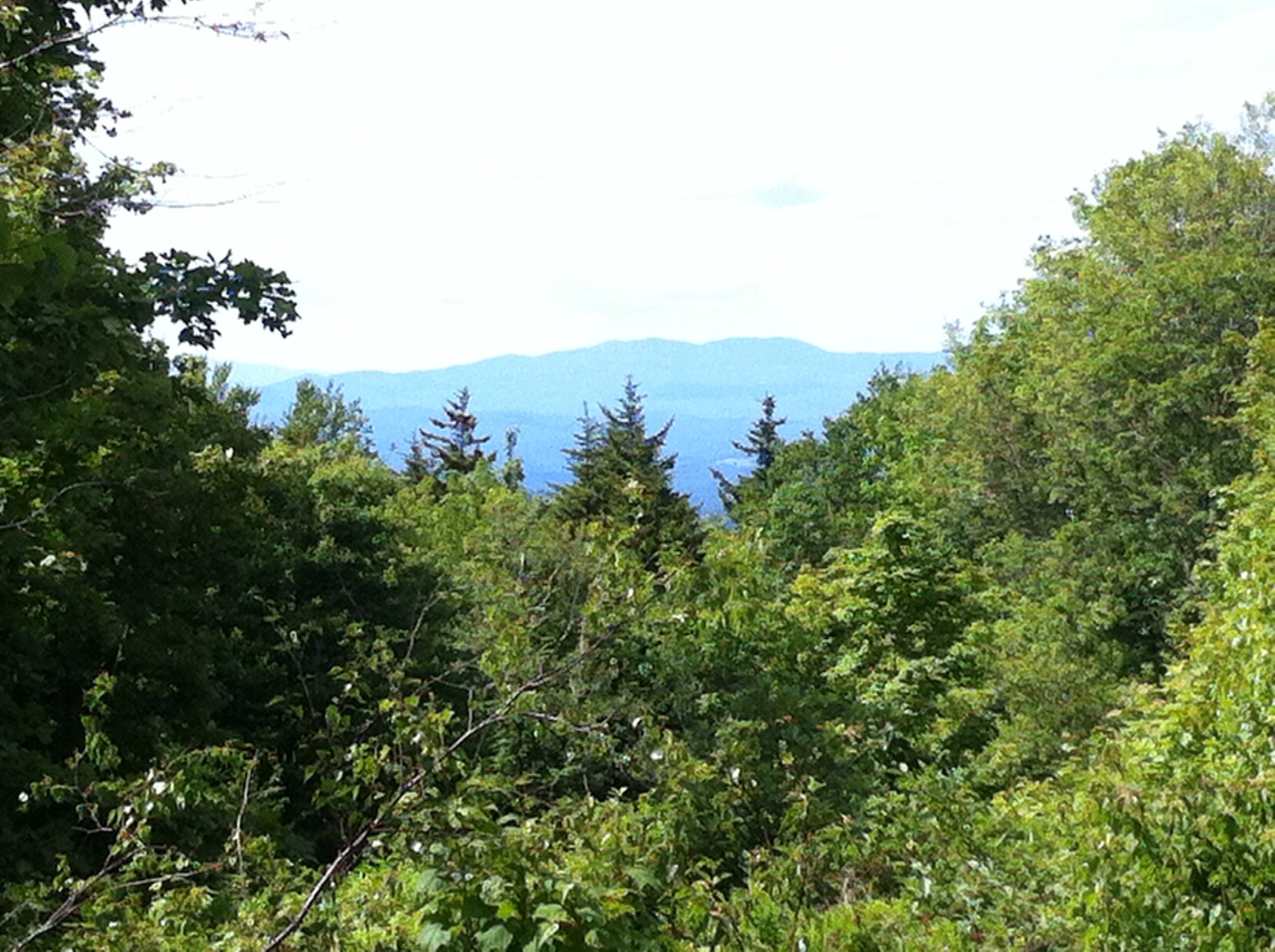
A little overgrown, but still a nice view!
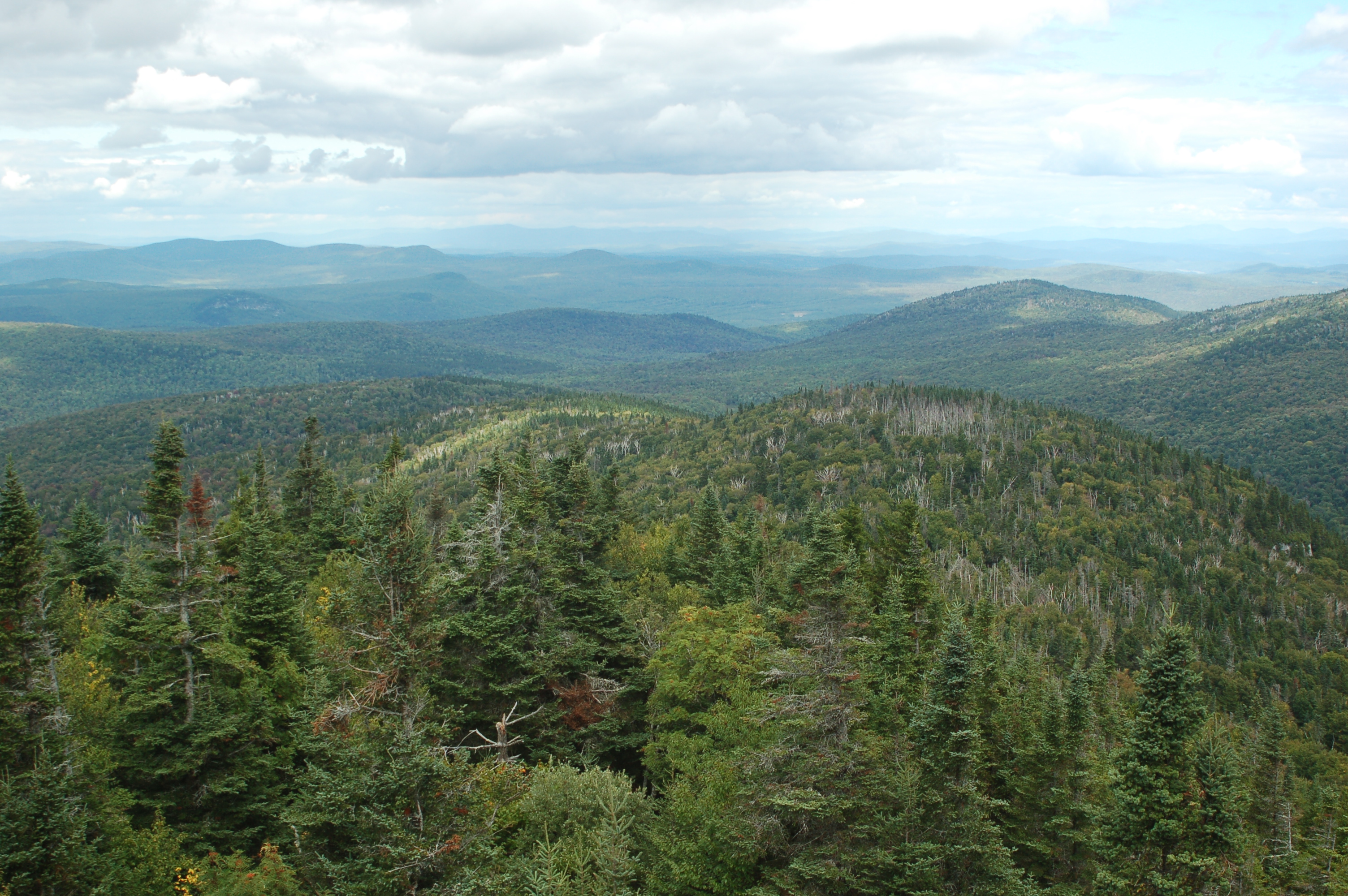
Spruce Mountain
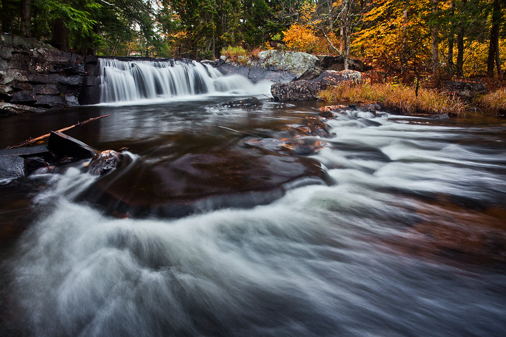
Little Unnamed Waterfall in Vermont
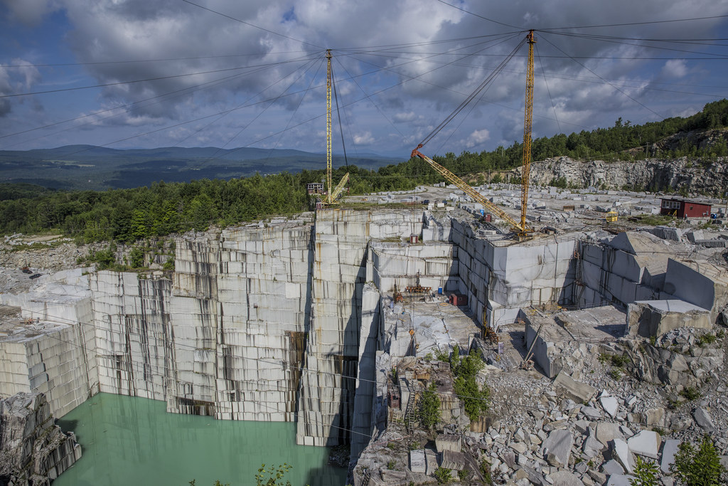
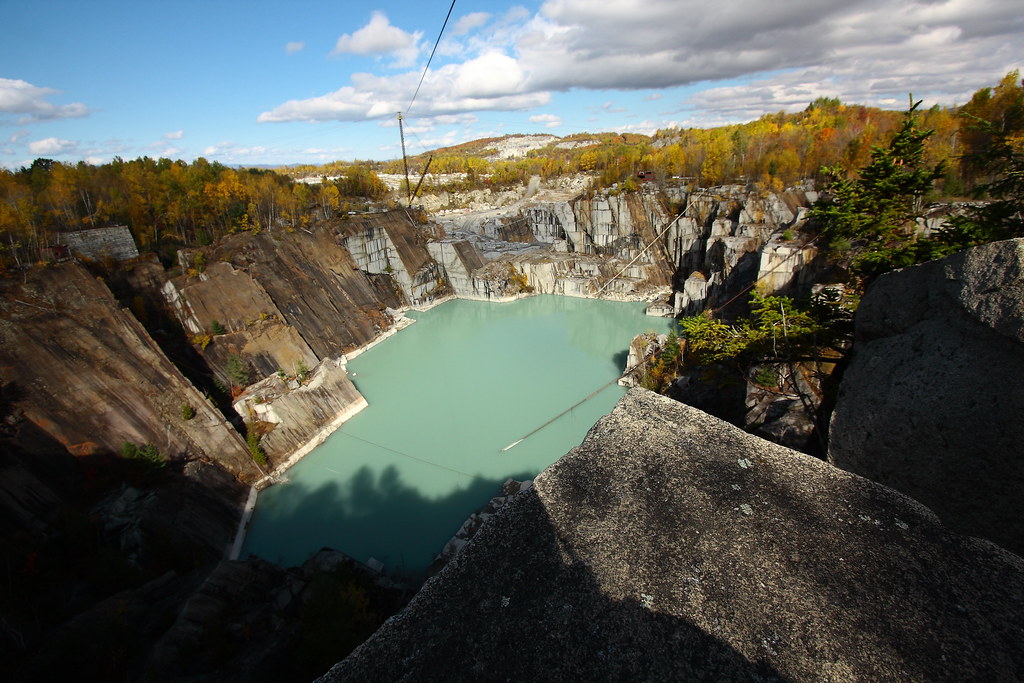
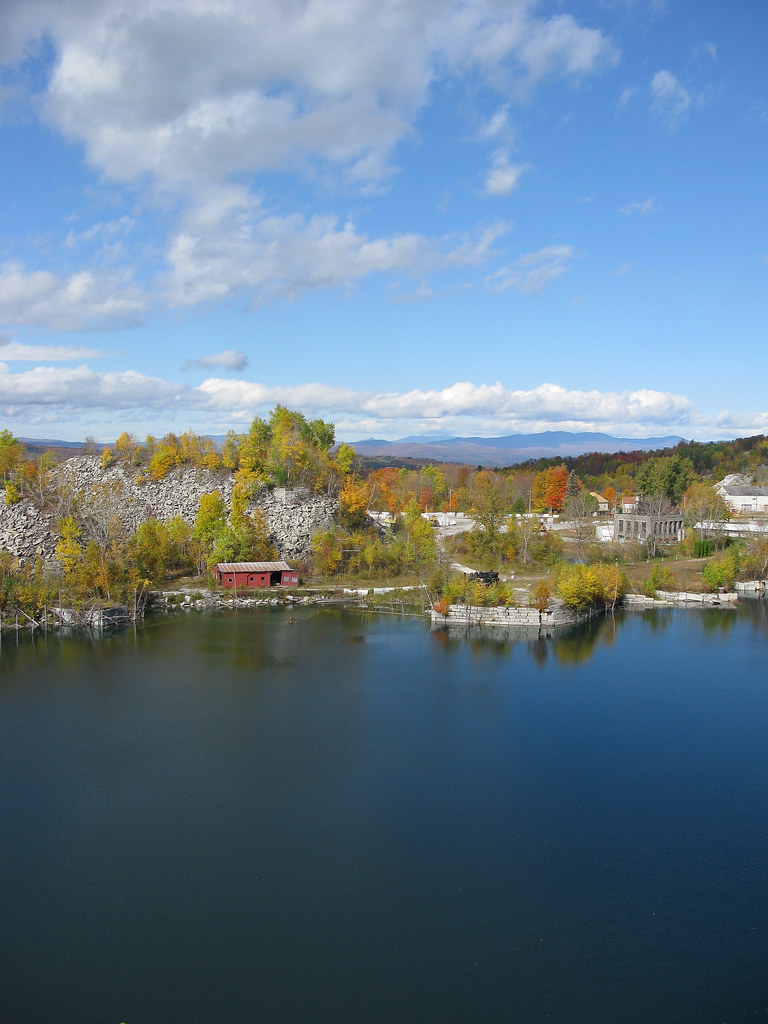
E.L. Smith Quarry - Barre, Vermont

IMGP2816 2009 sept b
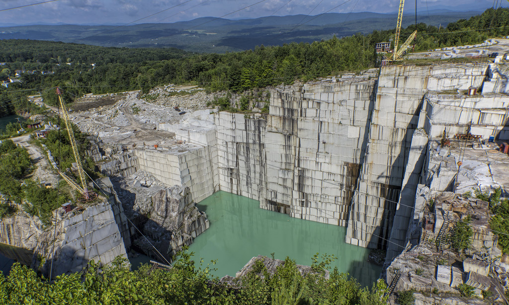
E.L. Smith Quarry - Barre, Vermont

Lake Groton Dam
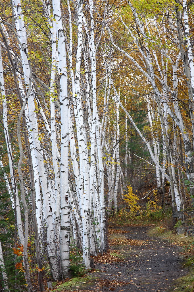
Birch Path

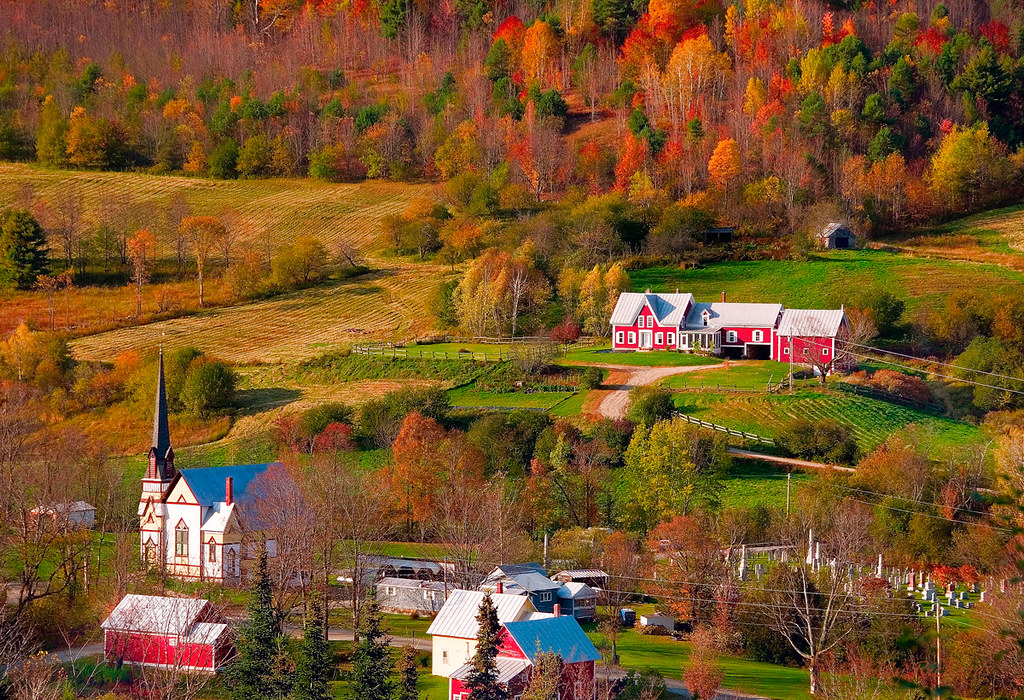
East Corinth, Vermont
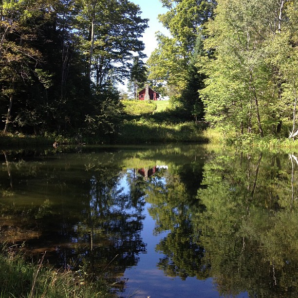
Perfect day for the classic cabin shot. #nofilter #ilovethecabin
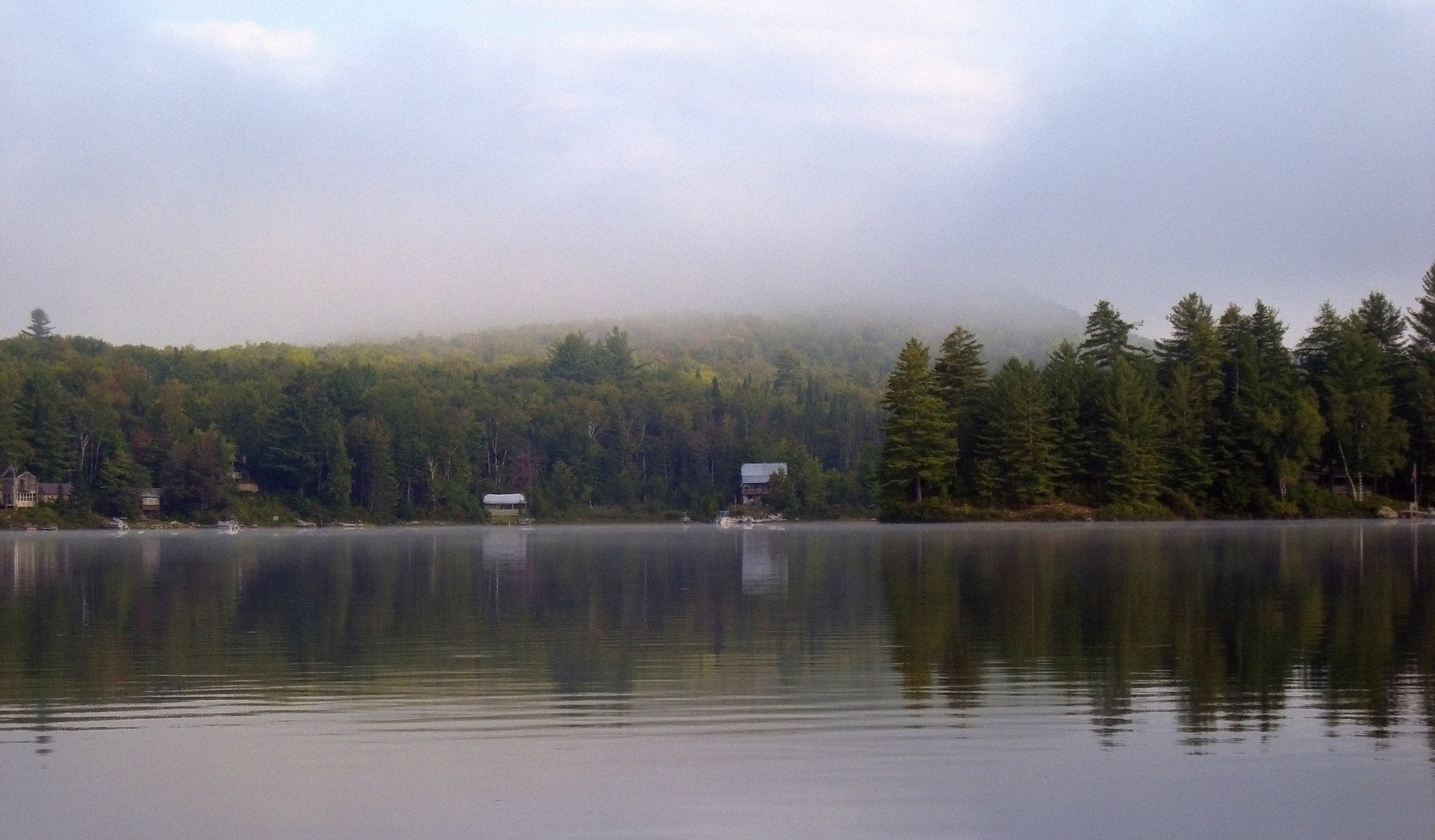
Morning fog over Ricker Pond
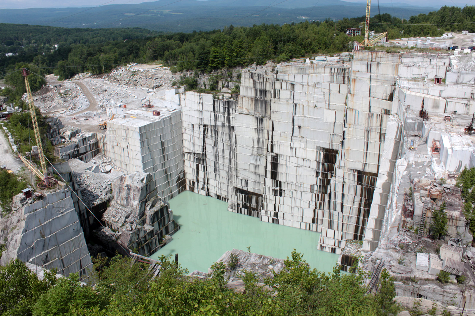
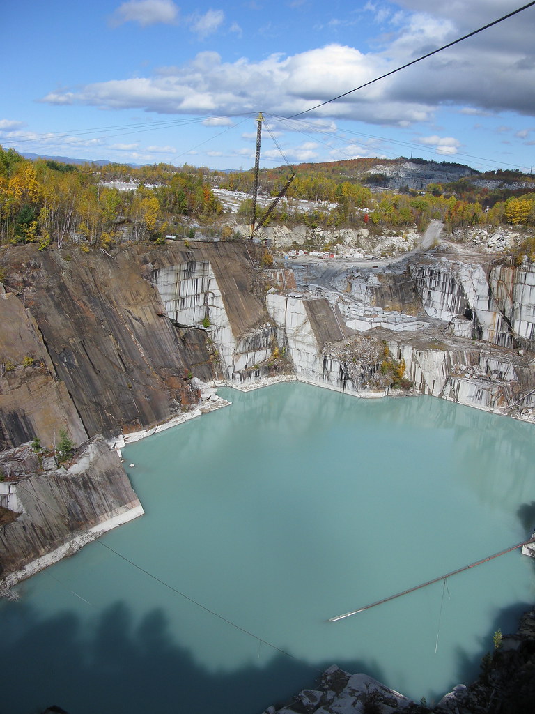
E. L. Smith Granite Quarry
East Orange
Foliage Punch
Autumn Quarry
Pidgeon Pond
Granite Lake
My husband use to have lunch at the top of that rock. #rockofages #granite #wheremyhubbygrewup
Turquois Quarry
Ricker Pond

Waits River
Inornate Ringlet

East Corinth, Vermont
Topographic Map of West Topsham, Topsham, VT, USA
Find elevation by address:

Places in West Topsham, Topsham, VT, USA:
Places near West Topsham, Topsham, VT, USA:
VT-25, West Topsham, VT, USA
474 Vt-25
261 Vt-25
E Orange Rd, Orange, VT, USA
121 Watson Hill Rd
2340 Richardson Rd
515 Tucker Pl
3306 Copper Mine Rd
10872 Vt-25
10872 Vt-25
1078 Pike Hill Rd
Cookeville Rd, Corinth, VT, USA
194 Miller Rd
Brook Road
203 Backway Rd
Corinth
East Corinth
1604 Taplin Hill Rd
383 Ryder Rd
4871 Chelsea Rd
Recent Searches:
- Elevation of Corso Fratelli Cairoli, 35, Macerata MC, Italy
- Elevation of Tallevast Rd, Sarasota, FL, USA
- Elevation of 4th St E, Sonoma, CA, USA
- Elevation of Black Hollow Rd, Pennsdale, PA, USA
- Elevation of Oakland Ave, Williamsport, PA, USA
- Elevation of Pedrógão Grande, Portugal
- Elevation of Klee Dr, Martinsburg, WV, USA
- Elevation of Via Roma, Pieranica CR, Italy
- Elevation of Tavkvetili Mountain, Georgia
- Elevation of Hartfords Bluff Cir, Mt Pleasant, SC, USA