Elevation of Miller Rd, Corinth, VT, USA
Location: United States > Vermont > Orange County > Corinth >
Longitude: -72.247161
Latitude: 44.0568624
Elevation: 289m / 948feet
Barometric Pressure: 98KPa
Elevation Map:
Satellite Map:
Related Photos:
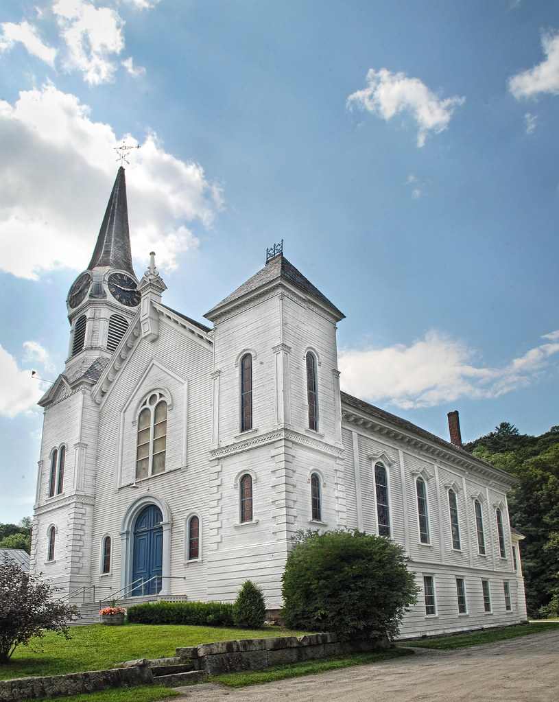
Congregational Church of Bradford, Vermont
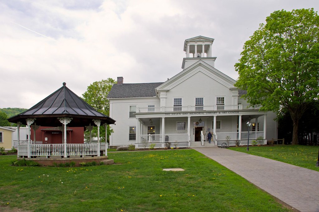
Stowe Free Library
Good morning, Cabin! (View from the outhouse) #nofilter #cabinlove
The view from Jack's dorm towards main campus
mountain school panorama

Another view

View from the bed. Somehow waking up early just doesn't hurt so much at the Cabin.
From the Green

A Beautiful View
Back view of the sun sail
Side view
Poles for Sun Sail

91NB-Exit16-17

2011-TO SD03-View from bridge
Another View of the Church

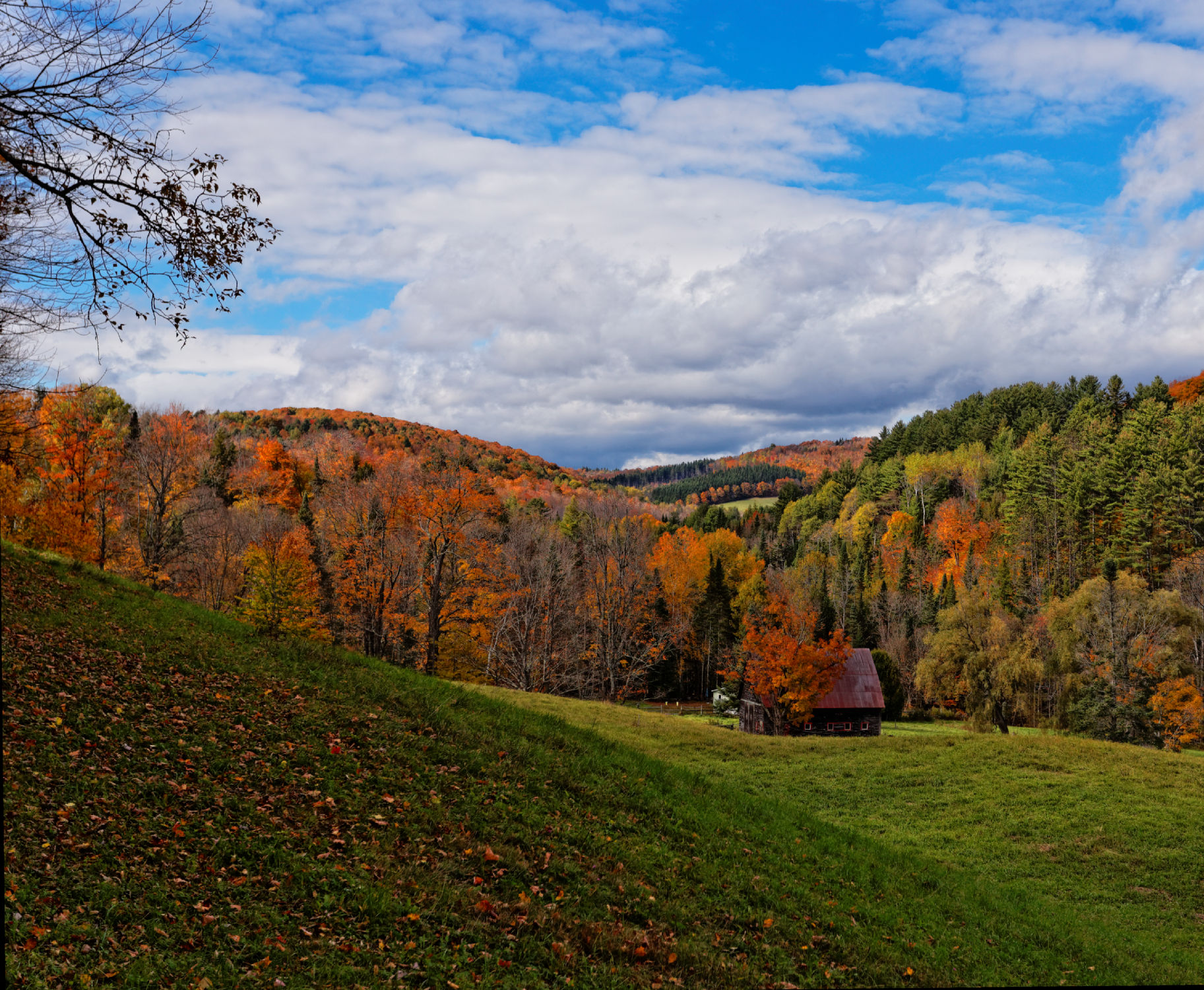
Autumn in Vermont
East Orange

Waits River

Vermont Country Road

East Corinth, Vermont
Lone Dead Tree
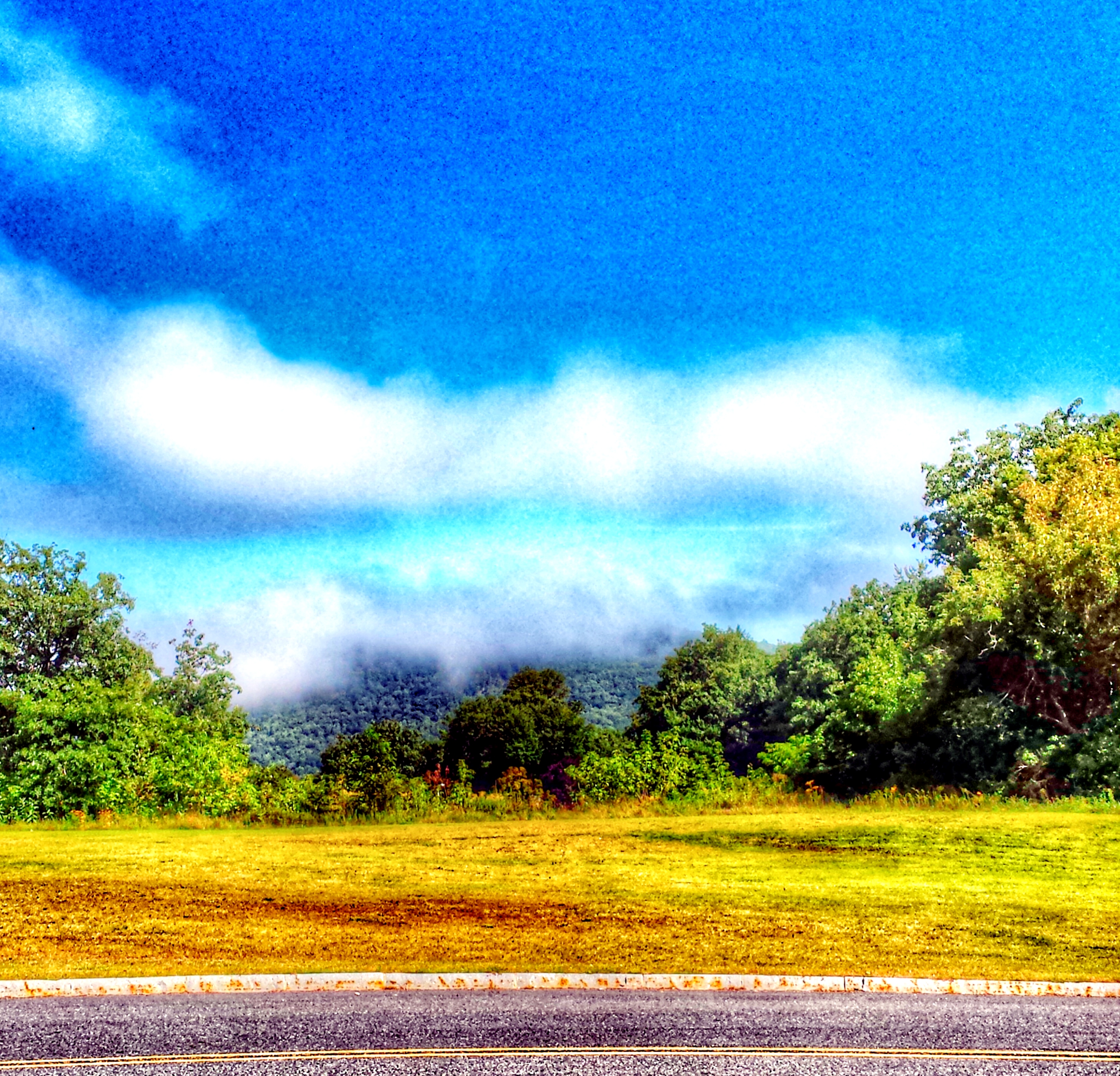
"LOW CLOUDS" Vermont
Vermont, Oct 2014

IMGP2816 2009 sept b

Glen Falls, Fairlee, VT

Ruby Throated Hummingbird
Vermont, Oct 2014
Vermont in the Fall
September - a photo a day of thankfulness. And I'm only a day late starting. . Day one - thankful to be able to take this picture almost every year.
IMG_4752.jpg

East Corinth, Vermont
Bradford Dam
Downstream from Glen Falls, VT 1
Downstream from Glen Falls, VT 2
Bradford Dam
Perfect day for the classic cabin shot. #nofilter #ilovethecabin
Topographic Map of Miller Rd, Corinth, VT, USA
Find elevation by address:

Places near Miller Rd, Corinth, VT, USA:
Brook Road
1078 Pike Hill Rd
10872 Vt-25
10872 Vt-25
1604 Taplin Hill Rd
East Corinth
3306 Copper Mine Rd
Corinth
121 Watson Hill Rd
2340 Richardson Rd
115 Sheep Meadow Ln
5786 Waits River Rd
285 Wrights Mountain Rd
300 Wrights Mountain Rd
280 Wrights Mountain Rd
250 Wrights Mountain Rd
220 Wrights Mountain Rd
200 Wrights Mountain Rd
110 Wrights Mountain Rd
1547 Chelsea Rd
Recent Searches:
- Elevation of Corso Fratelli Cairoli, 35, Macerata MC, Italy
- Elevation of Tallevast Rd, Sarasota, FL, USA
- Elevation of 4th St E, Sonoma, CA, USA
- Elevation of Black Hollow Rd, Pennsdale, PA, USA
- Elevation of Oakland Ave, Williamsport, PA, USA
- Elevation of Pedrógão Grande, Portugal
- Elevation of Klee Dr, Martinsburg, WV, USA
- Elevation of Via Roma, Pieranica CR, Italy
- Elevation of Tavkvetili Mountain, Georgia
- Elevation of Hartfords Bluff Cir, Mt Pleasant, SC, USA