Elevation of VT-25, East Corinth, VT, USA

Location: United States > Vermont > Orange County > Corinth > East Corinth >

Longitude: -72.255298

Latitude: 44.0751118

Elevation: 251m / 823feet

Barometric Pressure: 98KPa

Elevation Map:

elevation map of VT-25, East Corinth, VT, USA

Satellite Map:

Satellite map of VT-25, East Corinth, VT, USA

Related Photos:

firstdayofschool mountainschool 8252012
The view from Jack's dorm towards main campus
panorama vermont farm 15threunion tms mountainschool f93 themountainschool
mountain school panorama
firstdayofschool mountainschool 8252012
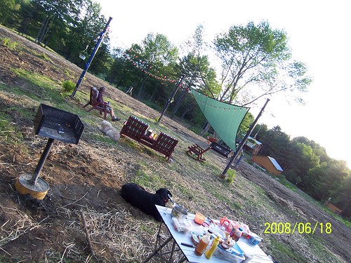
Another view
whatsnews
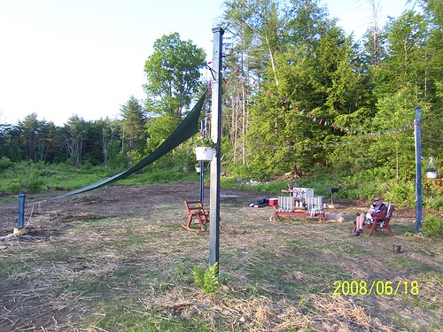
Back view of the sun sail
whatsnews
Side view
church mainstreet vermont bradford orangecounty vt congregationalchurch bradfordvermont vermontdreams
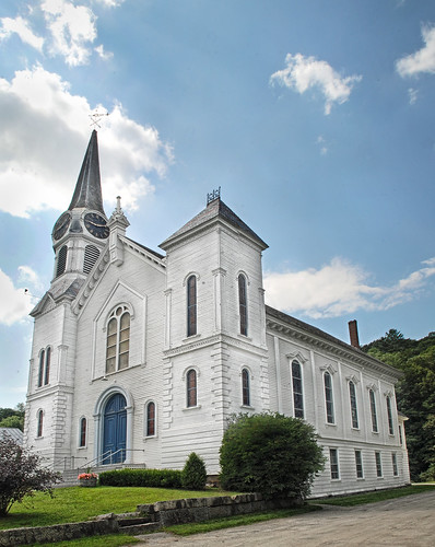
Congregational Church of Bradford, Vermont
square squareformat iphoneography instagramapp uploaded:by=instagram
Good morning, Cabin! (View from the outhouse) #nofilter #cabinlove
newbury vermont shapenotemusic connexionalldaysinging ingallsbicentenial 05051
From the Green
91NB-Exit16-17
roadtrip2011
2011-TO SD03-View from bridge
newbury vermont shapenotemusic connexionalldaysinging ingallsbicentenial 05051
Another View of the Church
creek canon store woodlands vermont village 1740mm hdr thetford vershire canon6d fairleee
Vermont, Oct 2014
creek store woodlands vermont village thetford vershire canon6d fairleee
Vermont, Oct 2014
creek store woodlands vermont village hdr thetford vershire canon6d canon25105mm fairleee
Vermont in the Fall
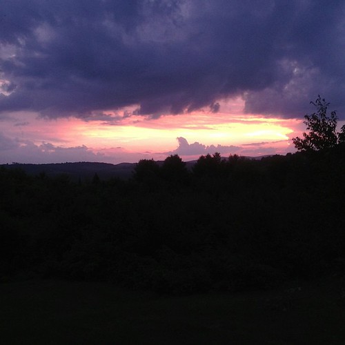
"LOW CLOUDS" Vermont
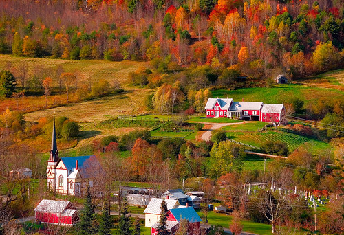
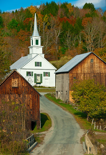
2018 canon canon5dmarkiv canonef2470mmf28liiusm davetrono newengland barn blue bluehour church fence field geotagged green hill iconic landscape rural shed steeple summer trees village eastcorinth vermont unitedstates us tree
Evening at East Corinth, Vermont
2016 beetlejuice canon canon6d canonef2470mmf28liiusm corinth davetrono eastcorinth newengland vt vermont villageroad autumn church fall fallcolors fallfoliage foliage geotagged landscape trees
East Corinth, Vermont
2017 canon canon5dmarkiv canonef2470mmf28liiusm davetrono eastorange maplewoodroad newengland vt vermont autumn fall fallcolors fallfoliage foliage geotagged trees landscape
Autumn in Vermont
square squareformat iphoneography instagramapp uploaded:by=instagram
Oh, wait! I think it's getting prettier! #ilovethecabin
church landscape vermont village fallfoliage eastorange
East Orange
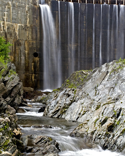
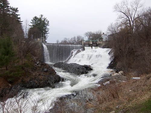
water electric waterfall vermont bradford dam hydro
Bradford Dam
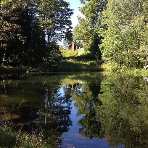
square squareformat iphoneography instagramapp uploaded:by=instagram foursquare:venue=4fef2d2de4b06418e1703649
Perfect day for the classic cabin shot. #nofilter #ilovethecabin
2016 canon canon6d canonef2470mmf28liiusm davetrono mciverroad newengland vt vermont vershire autumn countryroad fall fallcolors fallfoliage foliage geotagged landscape maplesap maplesyrup perspective trees unitedstates road
Vermont Country Road
church landscape vermont village waitsriver
Waits River
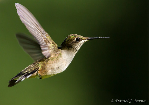
Ruby Throated Hummingbird
vermont newengland2010
New England 2010 125
tms mountainschool f93 themountainschool 15threuinion
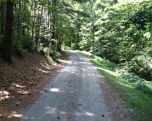
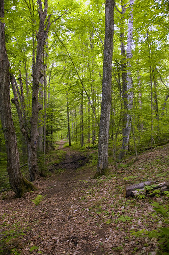
Woodsy Path
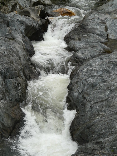
waterfall vermont bradford bradforddam
Bradford Dam
statepark bridge ruin newhampshire coveredbridge connecticutriver grafton nationalregister nationalregisterofhistoricplaces bedellcoveredbridge
Bedell Covered Bridge- Grafton County NH (3)
9/17/12