Elevation of VT-25, West Topsham, VT, USA

Location: United States > Vermont > Orange County > Topsham > West Topsham >

Longitude: -72.312367

Latitude: 44.115091

Elevation: 370m / 1214feet

Barometric Pressure: 97KPa

Elevation Map:

elevation map of VT-25, West Topsham, VT, USA

Satellite Map:

Satellite map of VT-25, West Topsham, VT, USA

Related Photos:

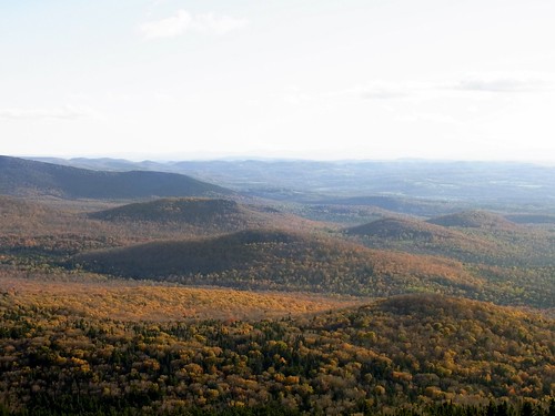
autumn landscape geotagged geo:lat=4423457692 geo:lon=7235516592
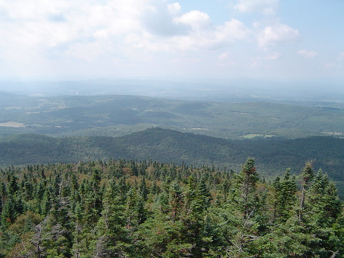
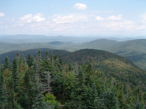
Spruce Lookout View
Spruce Mountain, Vermont
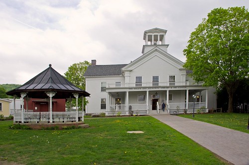
street usa one vermont view general library main off block about which grounds librarieslibrarians stowefreelibrary a
Stowe Free Library
Spruce Mountain, Vermont
autumn mountain fall vermont view foliage vt camelshump graniteville canon40d
View of Camel's Hump
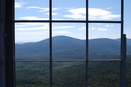
trees summer sky mountain clouds vermont view vista spruce forests plainfield
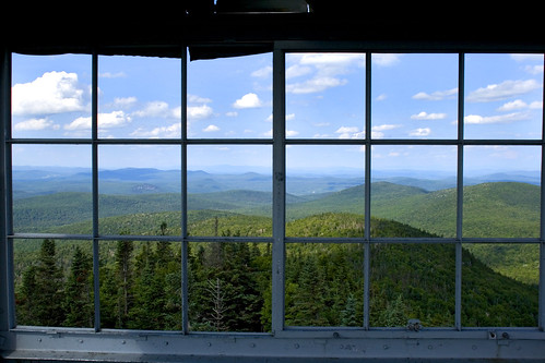
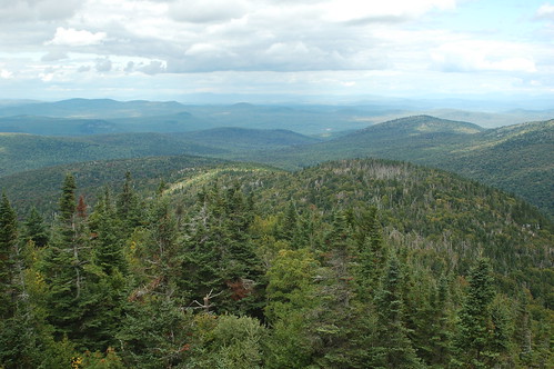
View from the Fire Tower
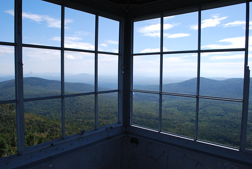
landscape vermont hiking vt firetower mtspruce
Fire Tower View (3)
trees mountain vermont view spruce vt greenmountains plainfield canon40d
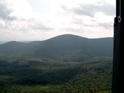
Up On Spruce Mountain
landscape vermont hiking vt firetower mtspruce
Fire Tower View (2)
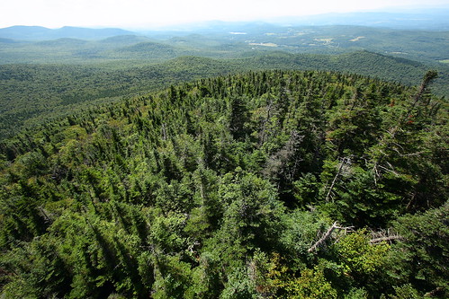
landscape vermont hiking vt firetower mtspruce
Fire Tower View (1)
A little overgrown, but still a nice view!
flickr
Spruce Mountain
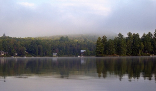
usa lake green public water geotagged nikon vermont newengland lac vert groton nouvelleangleterre rickerpond guillaumeboisseau coolpixs510 rickerpondstatepark geo:lat=44243569 geo:lon=72244119
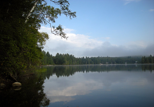
Morning fog over Ricker Pond
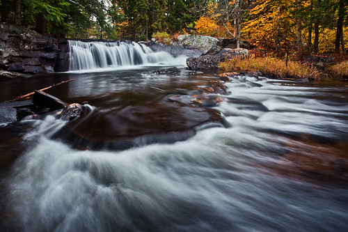
waterfall vermont fallfoliage groton canonef1740mmf4l bwcircularpolarizer 5dmarkii
Little Unnamed Waterfall in Vermont
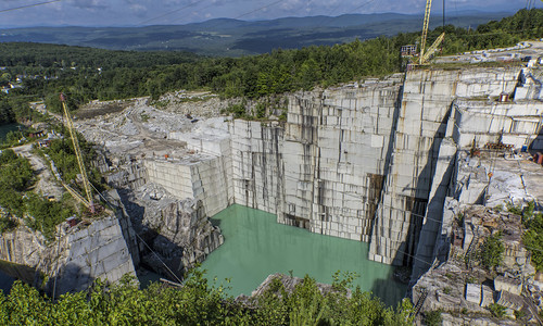
day cloudy newengland quarry rockofages barrevermont granitequarry elsmithquarry granitevillevermont pitquarry swensongranitecompany
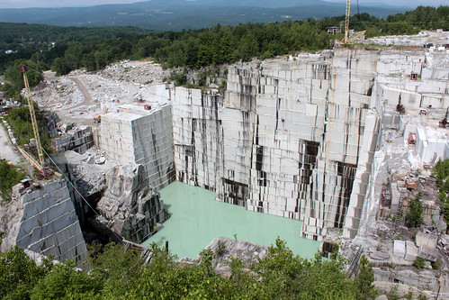
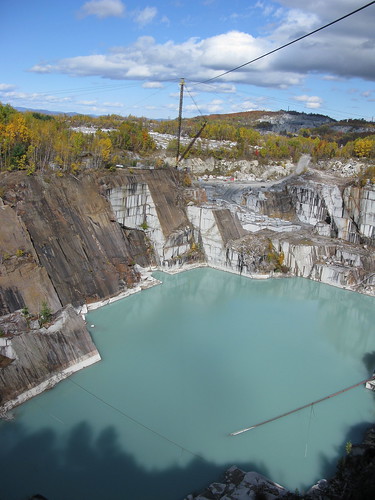
E.L. Smith Quarry - Barre, Vermont
IMGP2816 2009 sept b
newengland granite quarry barrevermont elsmithquarry
E.L. Smith Quarry - Barre, Vermont
blue sky lake vermont damn groton dphotogal vertorama
Lake Groton Dam
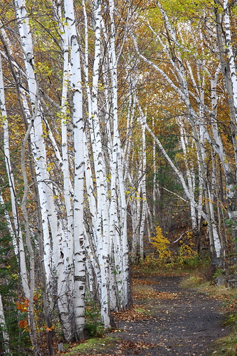
autumn fall vermont path foliage vt birchtrees graniteville whitebark canon40d
Birch Path
building church field barn landscape vermont village unitedstates corinth pasture
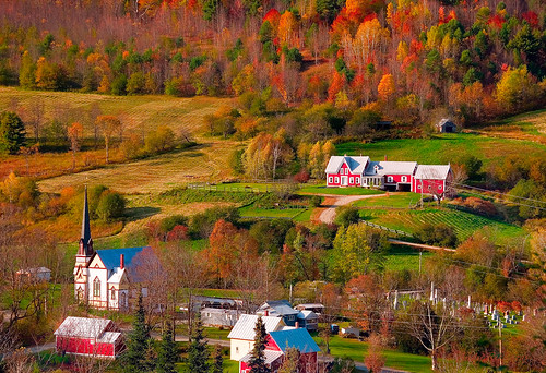
East Corinth, Vermont
square squareformat iphoneography instagramapp uploaded:by=instagram foursquare:venue=4fef2d2de4b06418e1703649
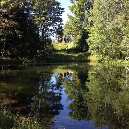
Perfect day for the classic cabin shot. #nofilter #ilovethecabin
vermont granite quarry rockofages eastbarre eastbarrevermont
E. L. Smith Granite Quarry
church landscape vermont village fallfoliage eastorange
East Orange
autumn trees fall colors colorful vermont sunny foliage vt graniteville canon40d
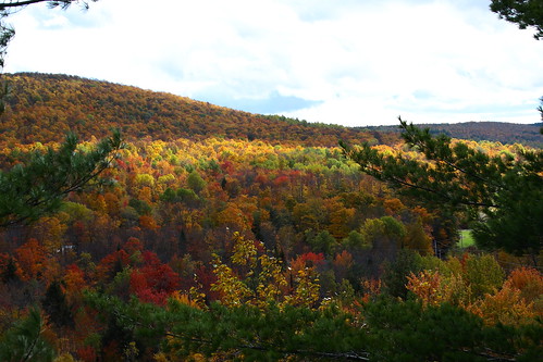
Foliage Punch
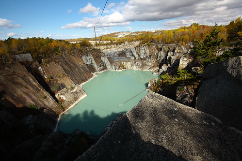
autumn fall vermont foliage vt graniteville granitequarry canon40d turqouiswater
Autumn Quarry
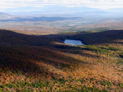
autumn colors landscape geotagged pond geo:lat=4423456650 geo:lon=7235516600
Pidgeon Pond
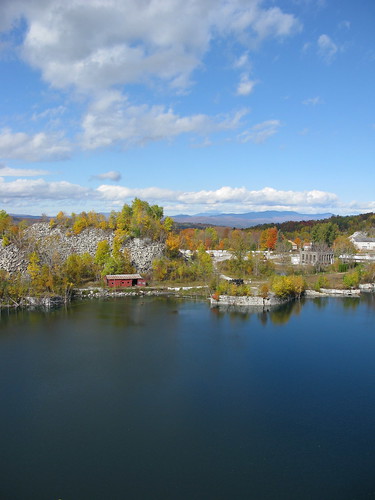
autumn fall water vermont foliage granite quarry vt graniteville canong9
Granite Lake
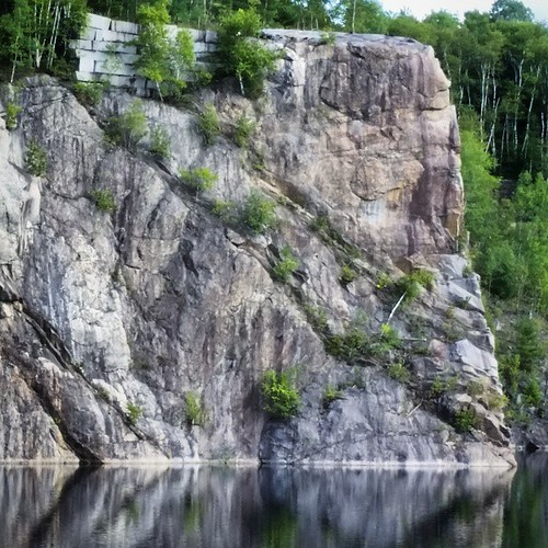
square squareformat iphoneography instagramapp uploaded:by=instagram
My husband use to have lunch at the top of that rock. #rockofages #granite #wheremyhubbygrewup
autumn fall vermont foliage granite quarry vt graniteville canong9 turqouiswater
Turquois Quarry
usa lake green public water geotagged nikon vermont newengland lac vert groton nouvelleangleterre rickerpond guillaumeboisseau coolpixs510 rickerpondstatepark geo:lat=44243661 geo:lon=7224472
Ricker Pond
church landscape vermont village waitsriver
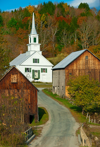
Waits River
Inornate Ringlet