Elevation of VT-25, West Topsham, VT, USA
Location: United States > Vermont > Orange County > Topsham > West Topsham >
Longitude: -72.301926
Latitude: 44.098553
Elevation: 297m / 974feet
Barometric Pressure: 98KPa
Elevation Map:
Satellite Map:
Related Photos:
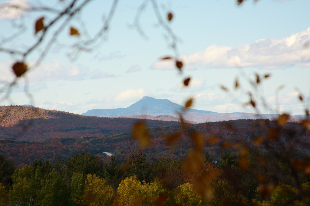
View of Camel's Hump
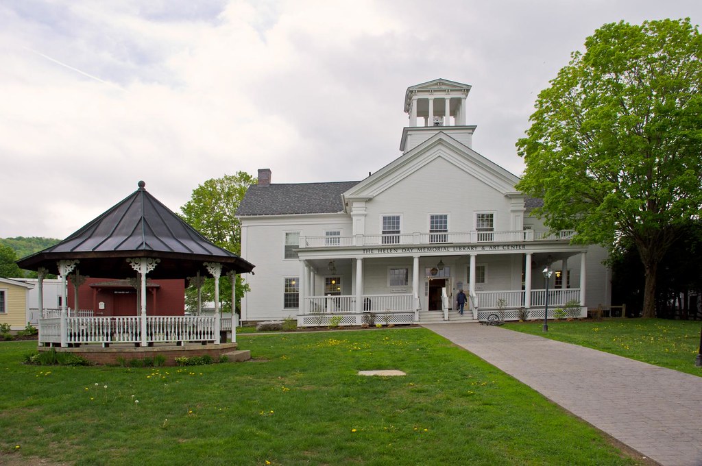
Stowe Free Library

Fire Tower View (3)

Fire Tower View (2)

Fire Tower View (1)

A little overgrown, but still a nice view!

Spruce Mountain

Up On Spruce Mountain

East Corinth, Vermont

In the Cabin

Evening at East Corinth, Vermont
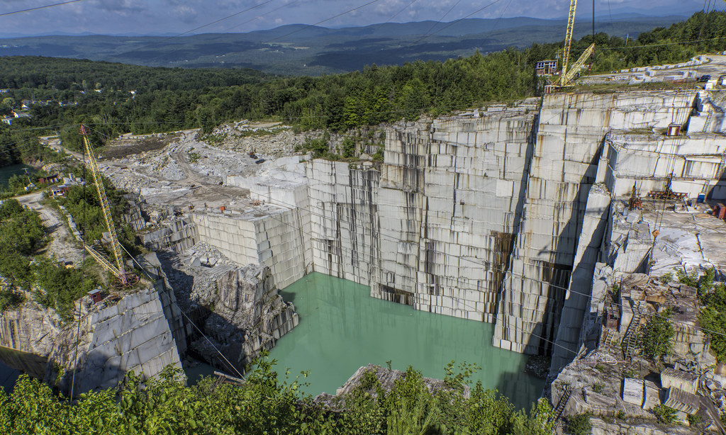
E.L. Smith Quarry - Barre, Vermont

Sunrise, Mt. Washington in the Distance

Sunrise from Spruce Mountain Fire Tower

Sunrise, Mt. Washington in the Distance(2)

Autumn in Vermont

Sunrise towards the White Mountains

Winooksi River Valley(2)

Vermont Country Road

Camel's Hump

Winooksi River Valley

Stitched Pano looking East / North - Winooski Valley and the Green Mountains

"LOW CLOUDS" Vermont

Little Unnamed Waterfall in Vermont

E.L. Smith Quarry - Barre, Vermont
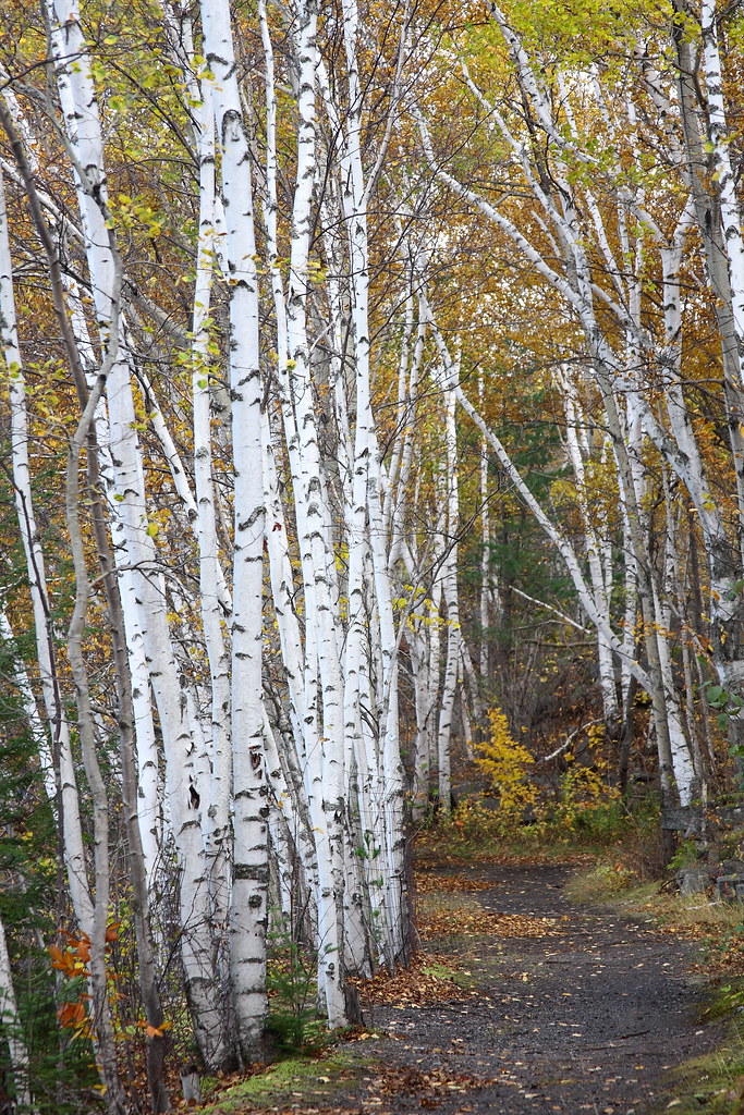
Birch Path
Topographic Map of VT-25, West Topsham, VT, USA
Find elevation by address:

Places near VT-25, West Topsham, VT, USA:
West Topsham
VT-25, West Topsham, VT, USA
474 Vt-25
121 Watson Hill Rd
2340 Richardson Rd
E Orange Rd, Orange, VT, USA
3306 Copper Mine Rd
515 Tucker Pl
10872 Vt-25
10872 Vt-25
1078 Pike Hill Rd
Cookeville Rd, Corinth, VT, USA
194 Miller Rd
Brook Road
Corinth
203 Backway Rd
East Corinth
1604 Taplin Hill Rd
383 Ryder Rd
4871 Chelsea Rd
Recent Searches:
- Elevation of Corso Fratelli Cairoli, 35, Macerata MC, Italy
- Elevation of Tallevast Rd, Sarasota, FL, USA
- Elevation of 4th St E, Sonoma, CA, USA
- Elevation of Black Hollow Rd, Pennsdale, PA, USA
- Elevation of Oakland Ave, Williamsport, PA, USA
- Elevation of Pedrógão Grande, Portugal
- Elevation of Klee Dr, Martinsburg, WV, USA
- Elevation of Via Roma, Pieranica CR, Italy
- Elevation of Tavkvetili Mountain, Georgia
- Elevation of Hartfords Bluff Cir, Mt Pleasant, SC, USA