Elevation of Topsham, VT, USA
Location: United States > Vermont > Orange County >
Longitude: -72.255095
Latitude: 44.1281193
Elevation: 366m / 1201feet
Barometric Pressure: 97KPa
Elevation Map:
Satellite Map:
Related Photos:
Spruce Mountain, Vermont

Stowe Free Library

Spruce Mountain, Vermont

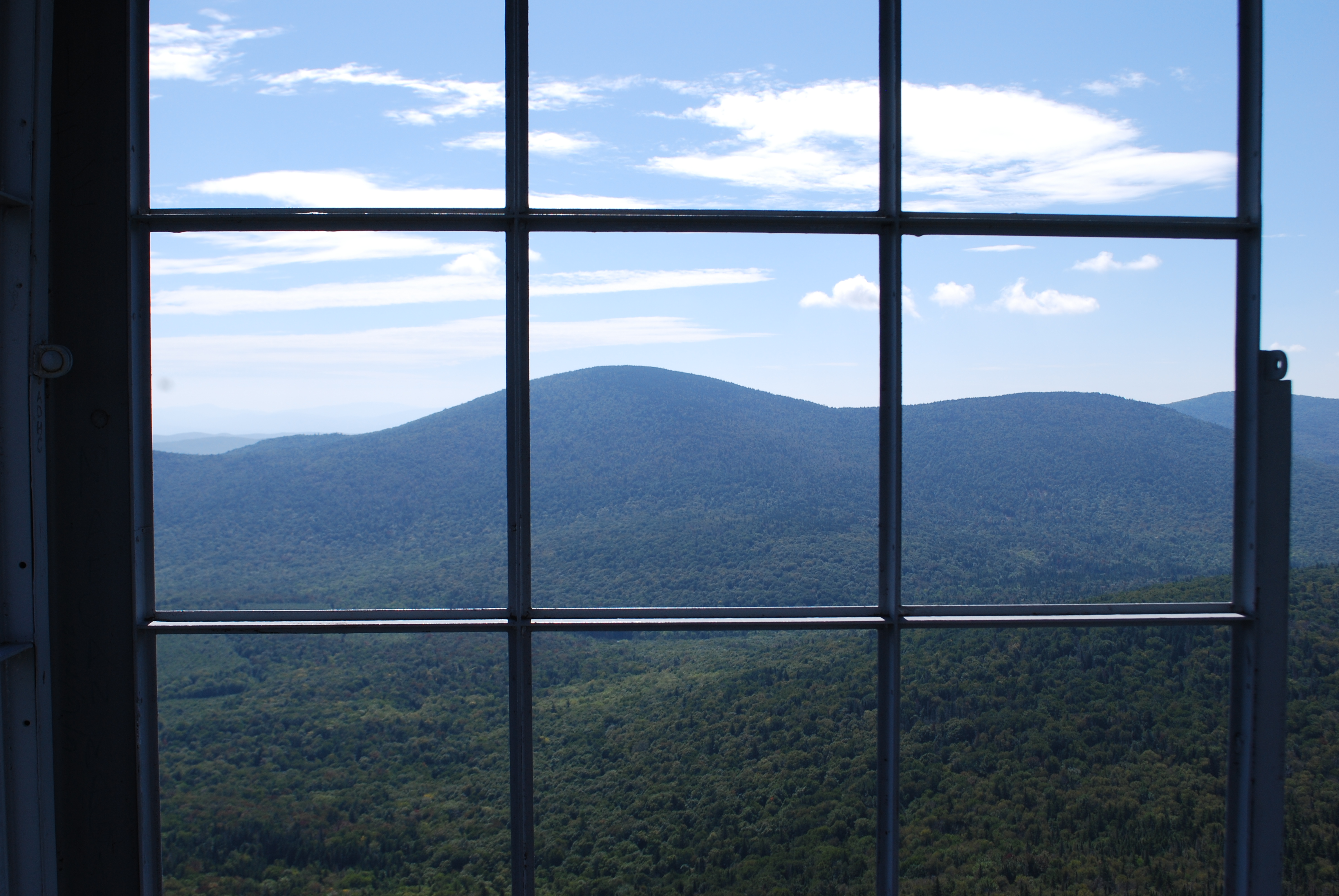
View from the Fire Tower
Fire Tower View (3)
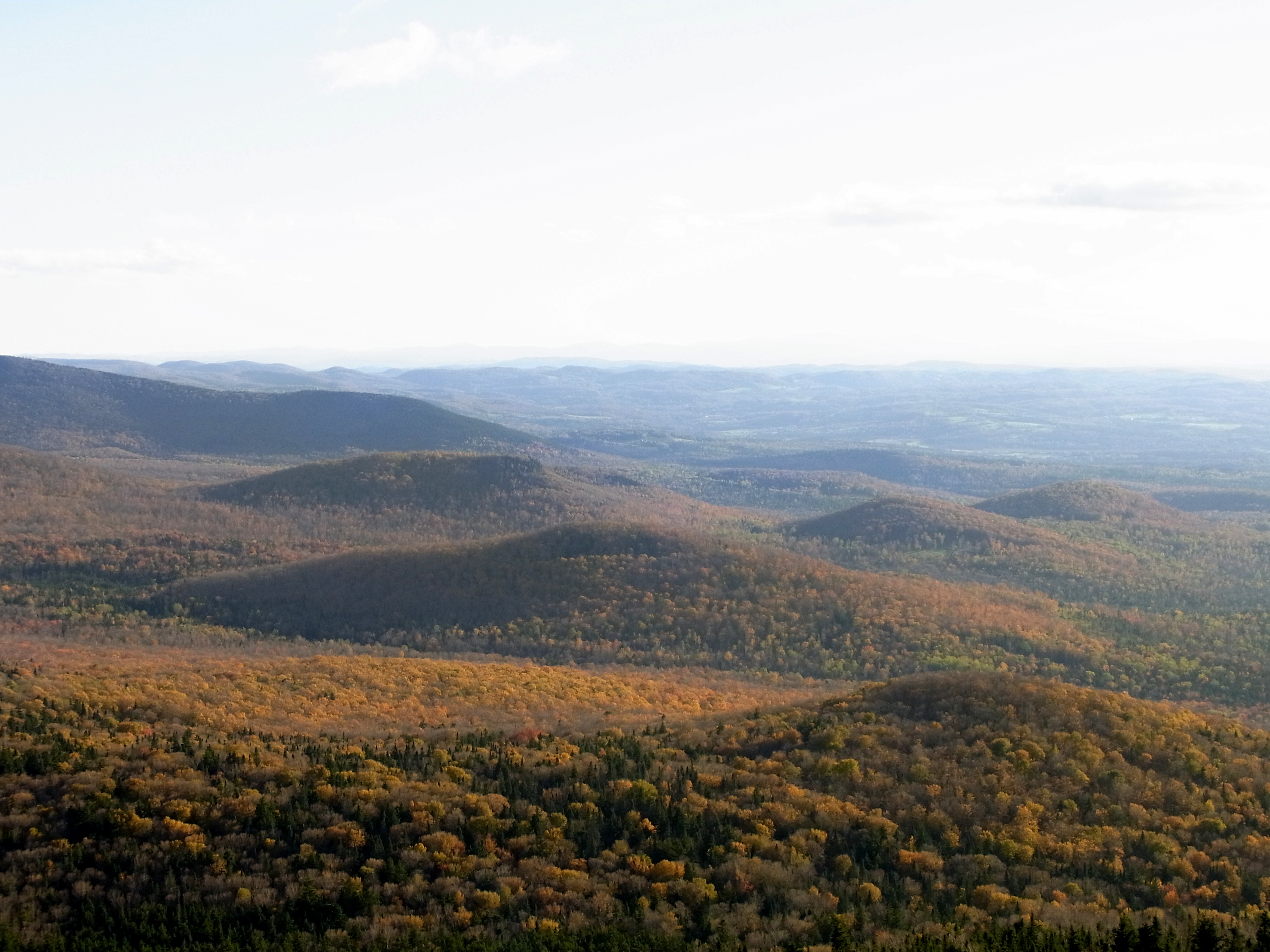
Spruce Lookout View
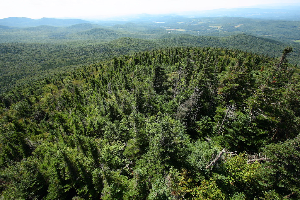
Up On Spruce Mountain

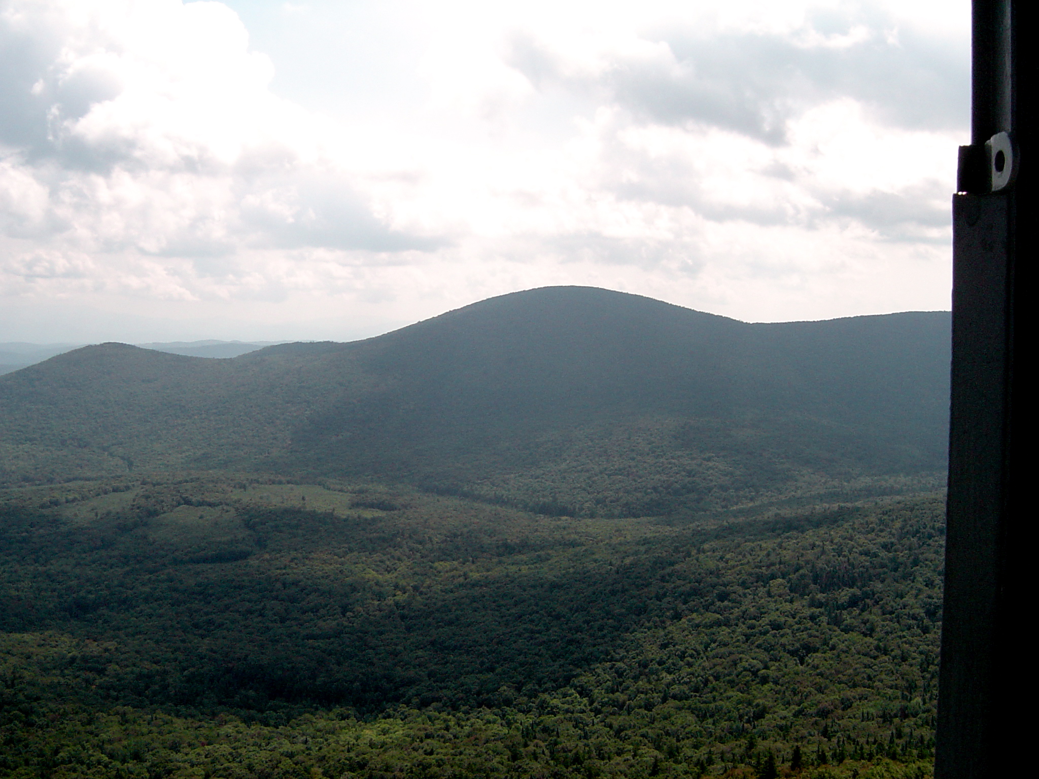
Fire Tower View (2)
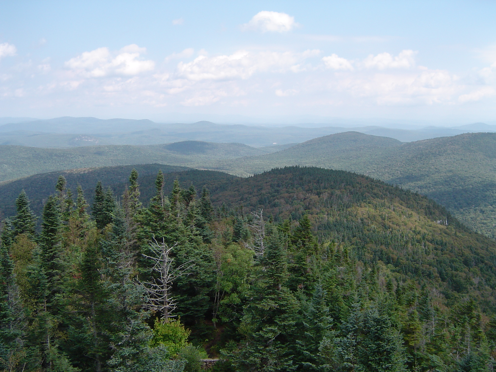
Fire Tower View (1)
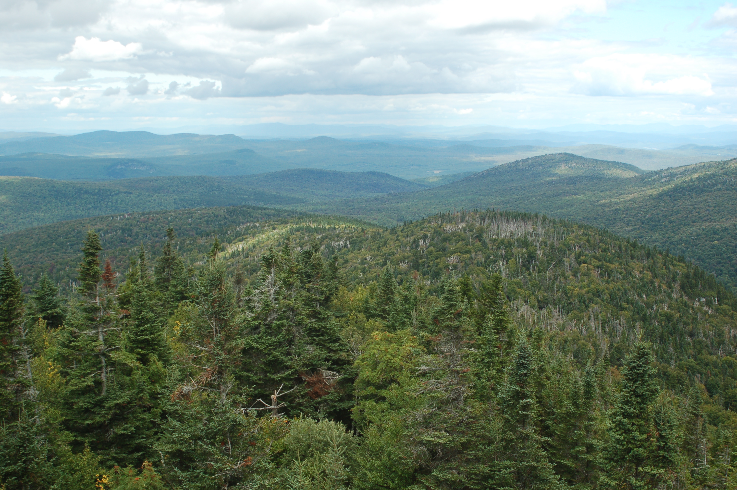
Spruce Mountain
Borders of NH
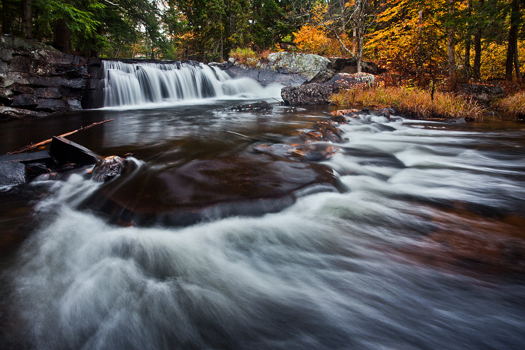
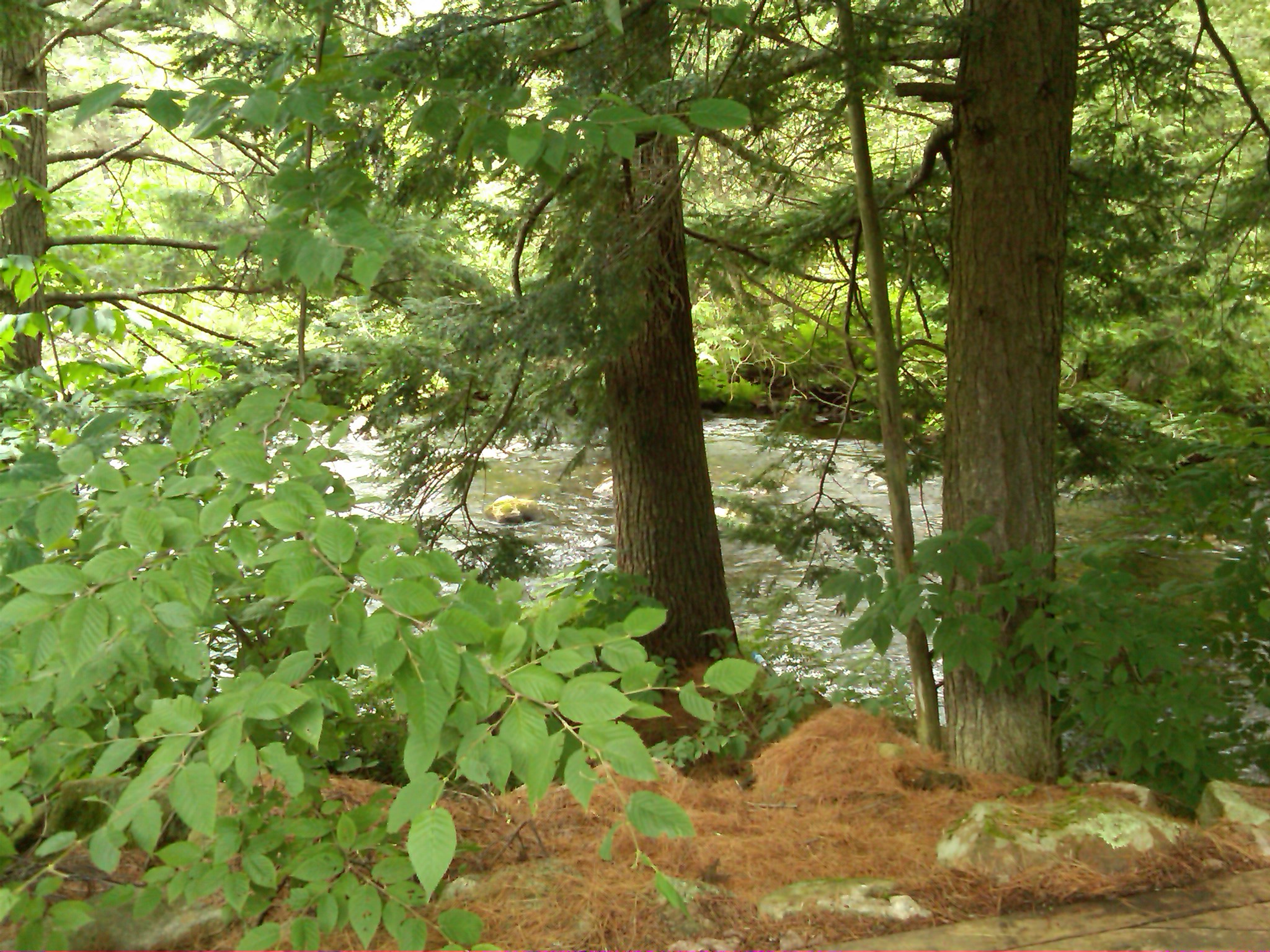
Little Unnamed Waterfall in Vermont

IMGP2816 2009 sept b

Lake Groton Dam

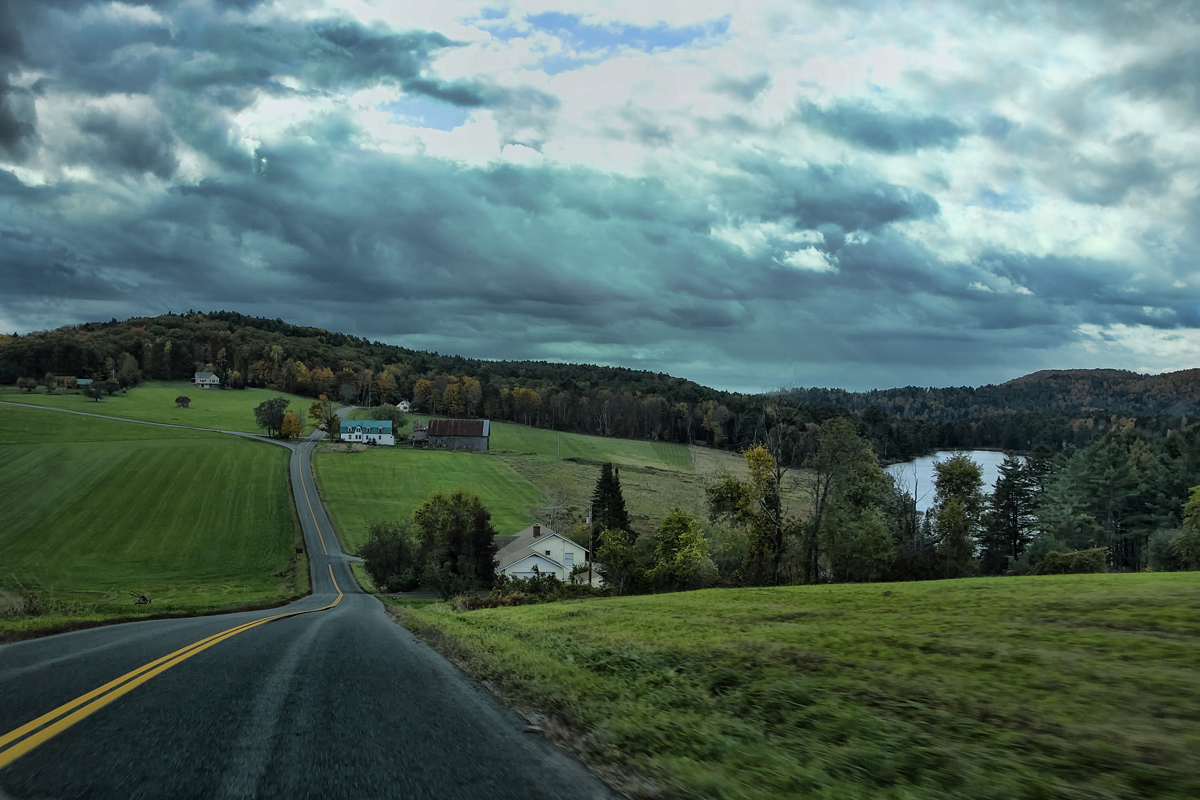
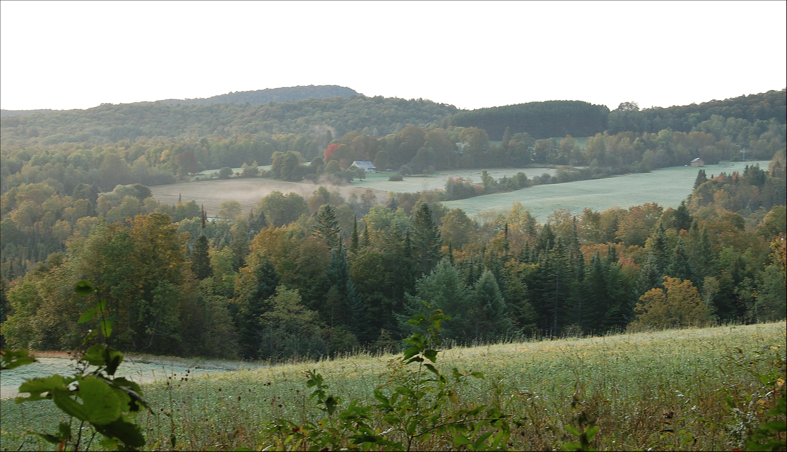
East Corinth, Vermont
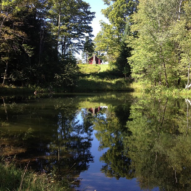
Perfect day for the classic cabin shot. #nofilter #ilovethecabin
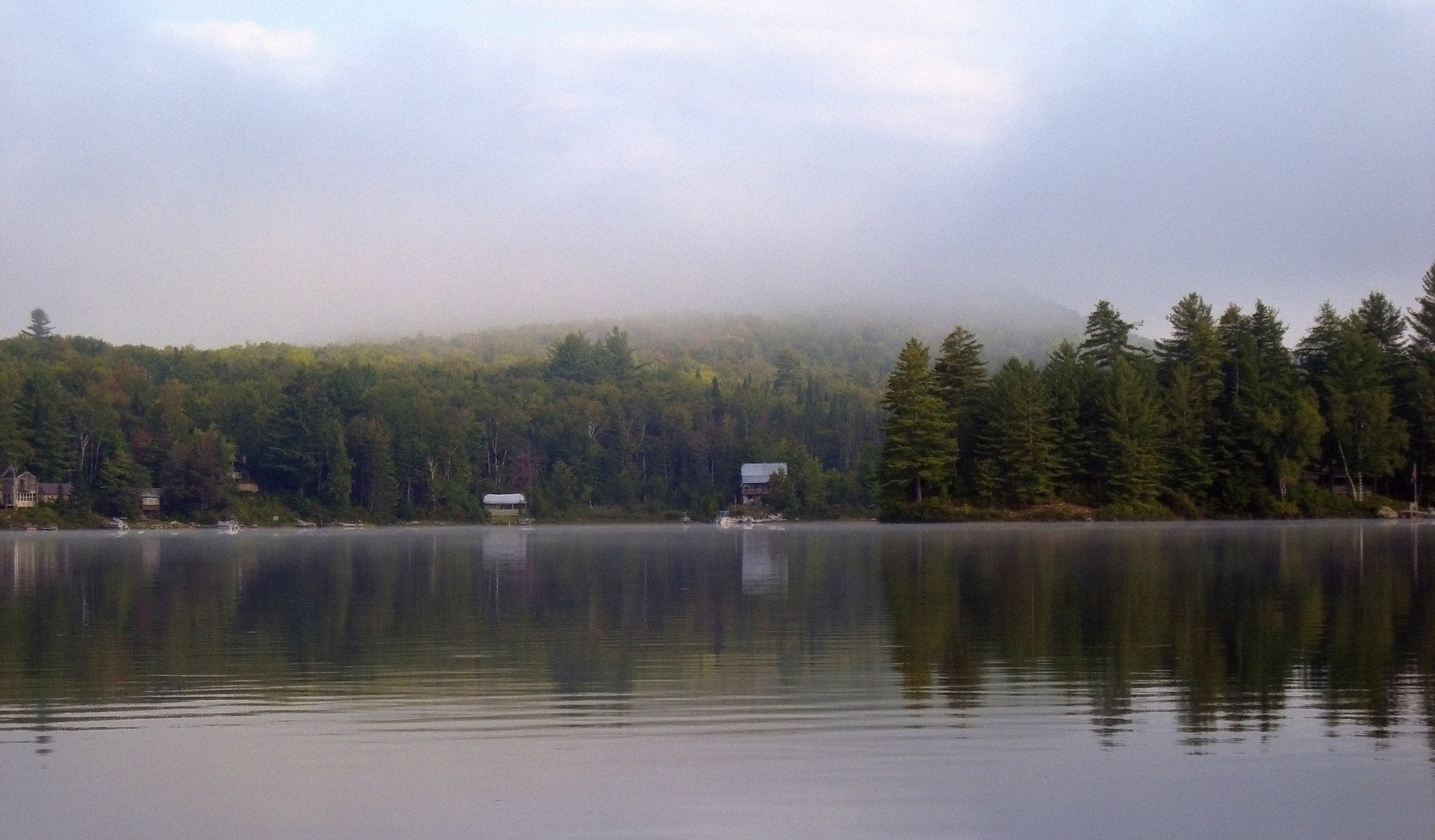
Morning fog over Ricker Pond

East Orange
Pidgeon Pond
Ricker Pond

Waits River

East Corinth, Vermont
IMG00035-20100725-1249.jpg
9/17/12

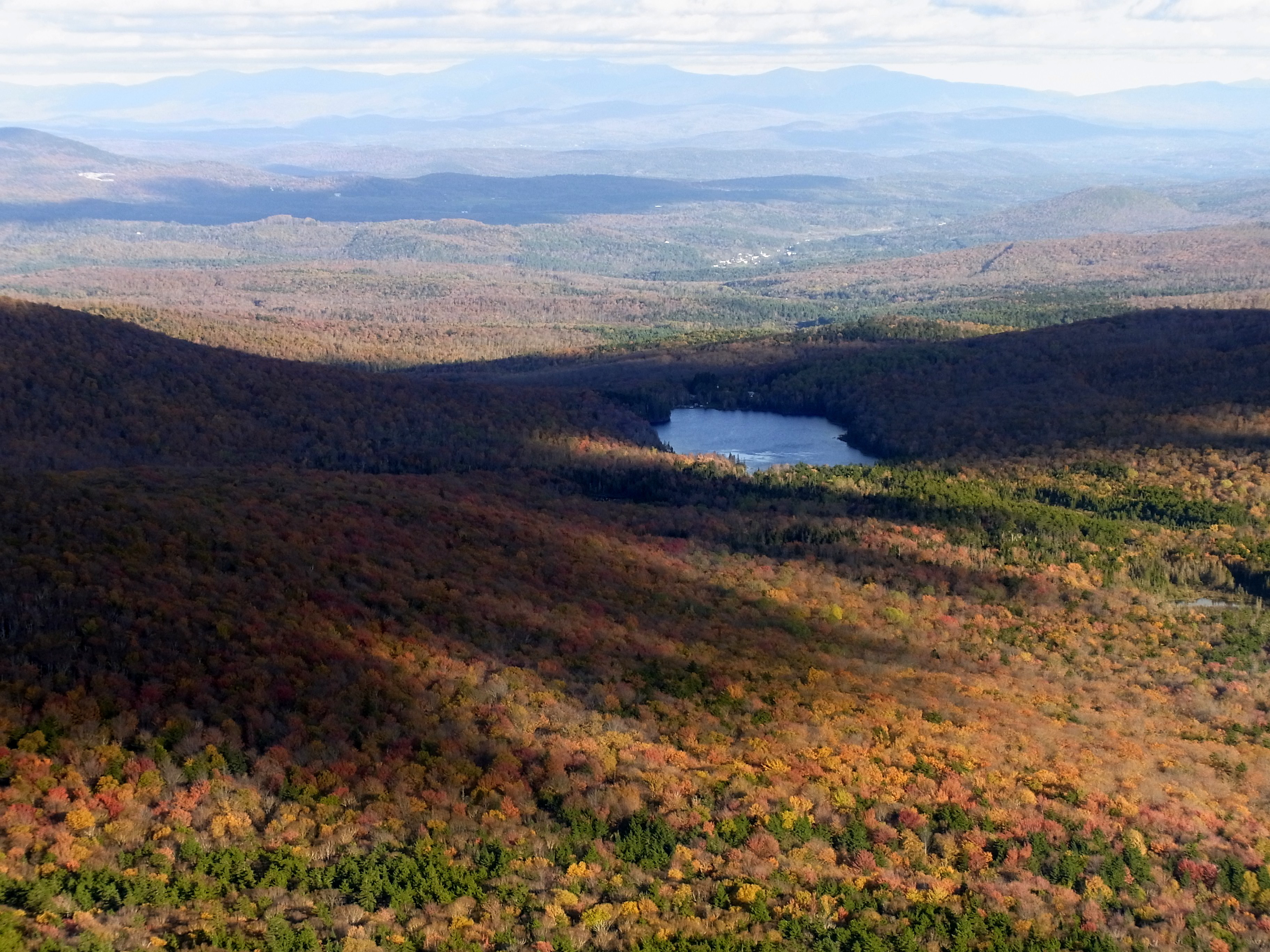
Groton SF Panorama
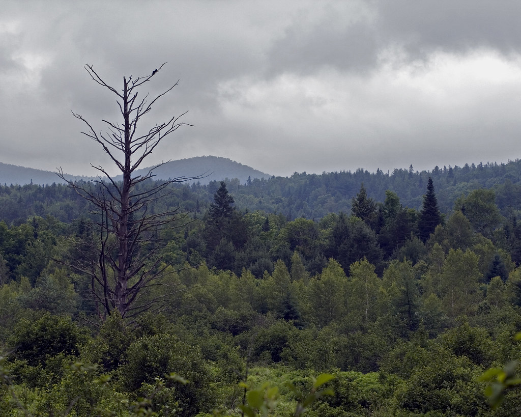
Lone Dead Tree

Wright’s Mountain
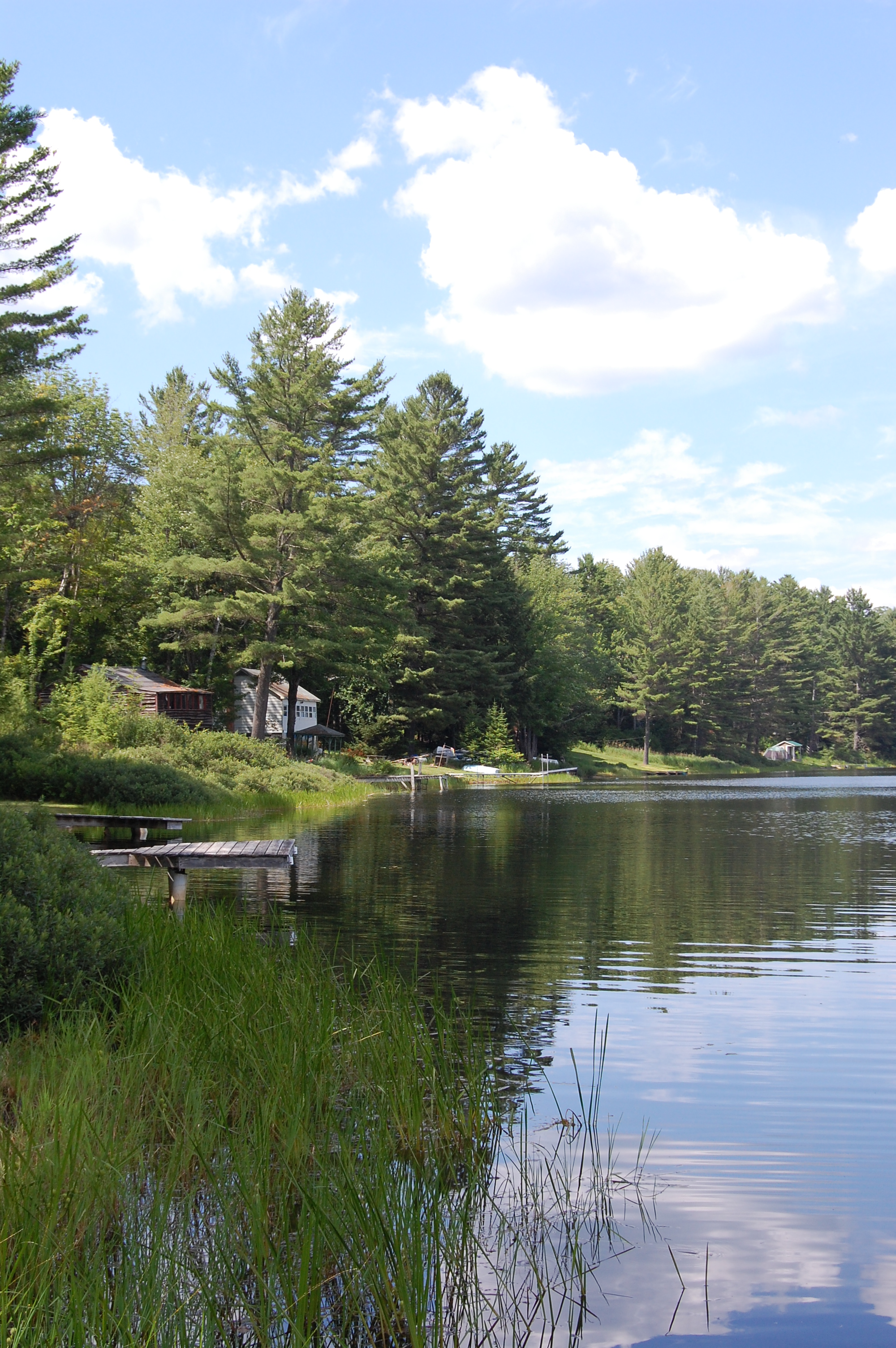
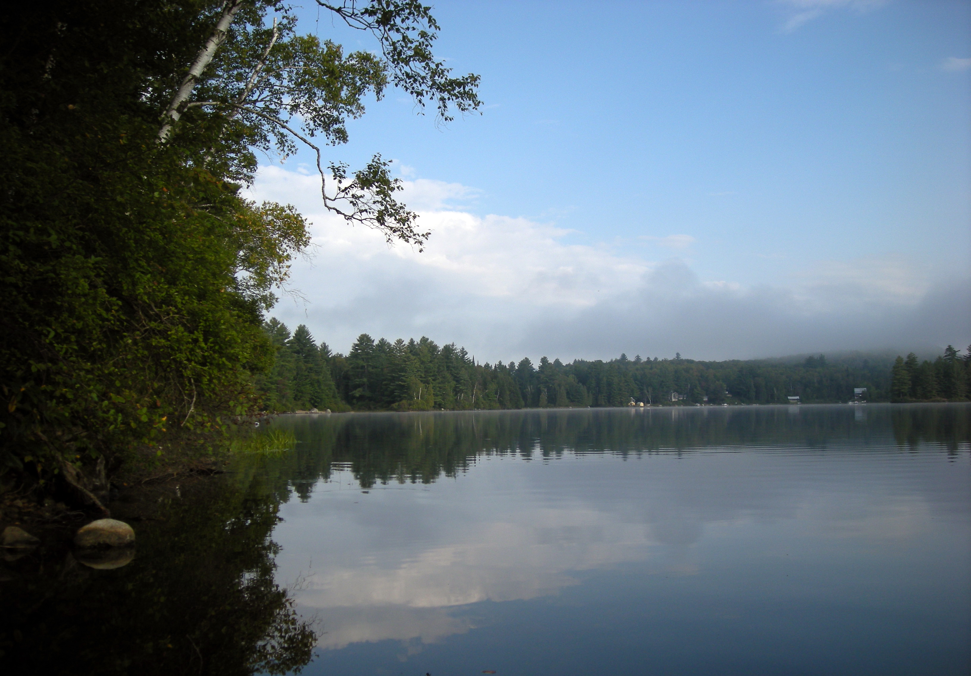
Round Pond
Topographic Map of Topsham, VT, USA
Find elevation by address:

Places in Topsham, VT, USA:
Places near Topsham, VT, USA:
230 Willey Hill Rd
18 Kasson Rd
93 Harts Rd
Powder Spring Road
8 Harts Rd
8 Harts Crossroad
8 Harts Crossroad
8 Harts Crossroad
8 Harts Crossroad
8 Harts Crossroad
8 Harts Crossroad
East Orange
24 Seldom Seen Farm Rd
13 Mountain View Dr
Mountain View Drive
Riddel Pond
158 Railroad St
110 Provencher Ln
1334 Scott Hwy #3
563 State Forest Rd
Recent Searches:
- Elevation of Corso Fratelli Cairoli, 35, Macerata MC, Italy
- Elevation of Tallevast Rd, Sarasota, FL, USA
- Elevation of 4th St E, Sonoma, CA, USA
- Elevation of Black Hollow Rd, Pennsdale, PA, USA
- Elevation of Oakland Ave, Williamsport, PA, USA
- Elevation of Pedrógão Grande, Portugal
- Elevation of Klee Dr, Martinsburg, WV, USA
- Elevation of Via Roma, Pieranica CR, Italy
- Elevation of Tavkvetili Mountain, Georgia
- Elevation of Hartfords Bluff Cir, Mt Pleasant, SC, USA