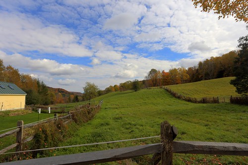
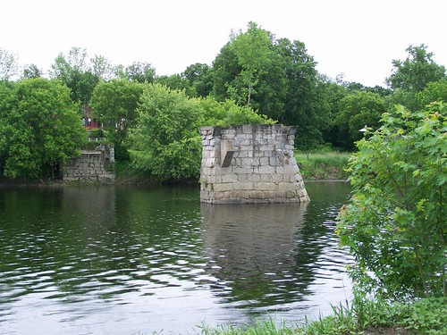
Elevation of East Corinth, Corinth, VT, USA

Location: United States > Vermont > Orange County > Corinth >

Longitude: -72.222232

Latitude: 44.0639777

Elevation: 216m / 709feet

Barometric Pressure: 99KPa

Elevation Map:

elevation map of East Corinth, Corinth, VT, USA

Satellite Map:

Satellite map of East Corinth, Corinth, VT, USA

Related Photos:

epsonv500 vermont farm redbarn newburyvermont geotagged
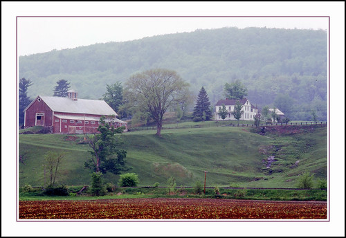
An Old New England Farm in Vermont - 1985
church mainstreet vermont bradford orangecounty vt congregationalchurch bradfordvermont vermontdreams
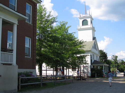
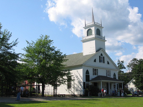
Congregational Church of Bradford, Vermont
firstdayofschool mountainschool 8252012
The view from Jack's dorm towards main campus
firstdayofschool mountainschool 8252012
Another view
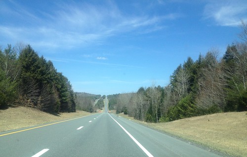
91NB-Exit16-17
panorama vermont farm 15threunion tms mountainschool f93 themountainschool
mountain school panorama
Pancakes and a view.
Best breakfast view.
newbury vermont shapenotemusic connexionalldaysinging ingallsbicentenial 05051
Another View of the Church
Pancakes and a view.
newbury vermont shapenotemusic connexionalldaysinging ingallsbicentenial 05051
From the Green
square squareformat iphoneography instagramapp uploaded:by=instagram
View from the bed. Somehow waking up early just doesn't hurt so much at the Cabin.
2010neslc
A Beautiful View
whatsnews
Back view of the sun sail
whatsnews
Side view
square squareformat iphoneography instagramapp uploaded:by=instagram
Good morning, Cabin! (View from the outhouse) #nofilter #cabinlove
whatsnews
Poles for Sun Sail
2019 canon canon5dmarkiv canonef2470mmf28liiusm davetrono eastorange newengland vt vermont communityhouse geotagged hill landscape meetinghouse oneroomschoolhouse red road rural school schoolhouse snow trees winter
East Orange, Vermont
2016 canon canon6d canonef2470mmf28liiusm davetrono mciverroad newengland vt vermont vershire autumn countryroad fall fallcolors fallfoliage foliage geotagged landscape maplesap maplesyrup perspective trees unitedstates road
Vermont Country Road
2018 canon canon5dmarkiv canonef2470mmf28liiusm davetrono newengland barn blue bluehour church fence field geotagged green hill iconic landscape rural shed steeple summer trees village eastcorinth vermont unitedstates us tree
Evening at East Corinth, Vermont
2017 canon canon5dmarkiv canonef2470mmf28liiusm davetrono eastorange maplewoodroad newengland vt vermont autumn fall fallcolors fallfoliage foliage geotagged trees landscape
Autumn in Vermont
blue summer sky stone wall clouds barn corn afternoon farm cirrus farmstead projectweathersubmission
next to the cemetery
White Horses
2016 beetlejuice canon canon6d canonef2470mmf28liiusm corinth davetrono eastcorinth newengland vt vermont villageroad autumn church fall fallcolors fallfoliage foliage geotagged landscape trees us
East Corinth, Vermont
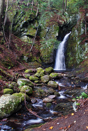
waterfall vermont falls glen waterfalls orangecounty vt fairlee glenfalls fairleevt vermontdreams
Glen Falls, Fairlee, VT
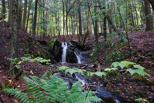
waterfall woods vermont falls glen waterfalls orangecounty vt fairlee downstream glenfalls fairleevt vermontdreams
Downstream from Glen Falls, VT 1
waterfall woods vermont falls glen waterfalls orangecounty vt fairlee downstream glenfalls fairleevt vermontdreams
Downstream from Glen Falls, VT 2
water electric waterfall vermont bradford dam hydro
Bradford Dam
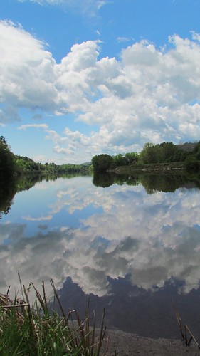
blue sky reflection water clouds river spring cloudy riverbank waterway projectweathersubmission
Reflections on the Connecticut River
creek canon store woodlands vermont village 1740mm hdr thetford vershire canon6d fairleee
Vermont, Oct 2014
blue sky cloud green grass yellow fence spring day post meadow dandelion projectweathersubmission pwpartlycloudy
dandelion meadow
vermont vt orangecounty topshamtown landscapes newengland northamerica unitedstates us
Northern New England Landscape (Topsham Town, Vermont)
statepark bridge ruin newhampshire coveredbridge connecticutriver grafton nationalregister nationalregisterofhistoricplaces bedellcoveredbridge
Bedell Covered Bridge- Grafton County NH (3)
firstdayofschool mountainschool 8252012
New Hampshire in the distance