Elevation of Via Sevilla St, Corona, CA, USA
Location: United States > California > Riverside County > Corona >
Longitude: -117.54433
Latitude: 33.8195371
Elevation: 383m / 1257feet
Barometric Pressure: 97KPa
Elevation Map:
Satellite Map:
Related Photos:
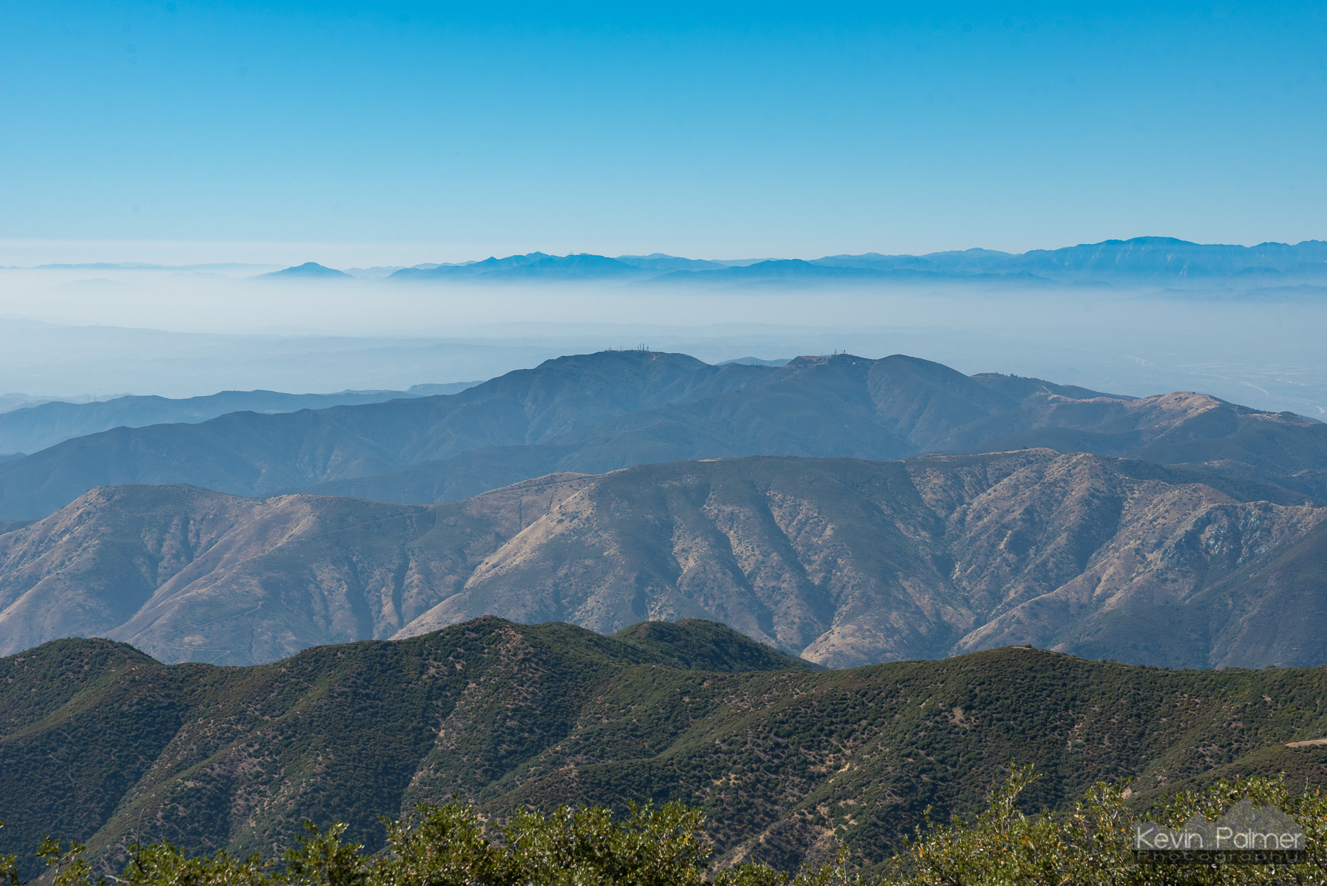
Smoggy Ridges
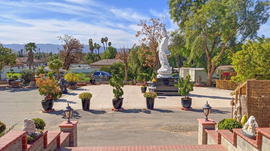
view from steps, chua phat tue
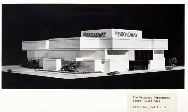
Riverside - The Broadway
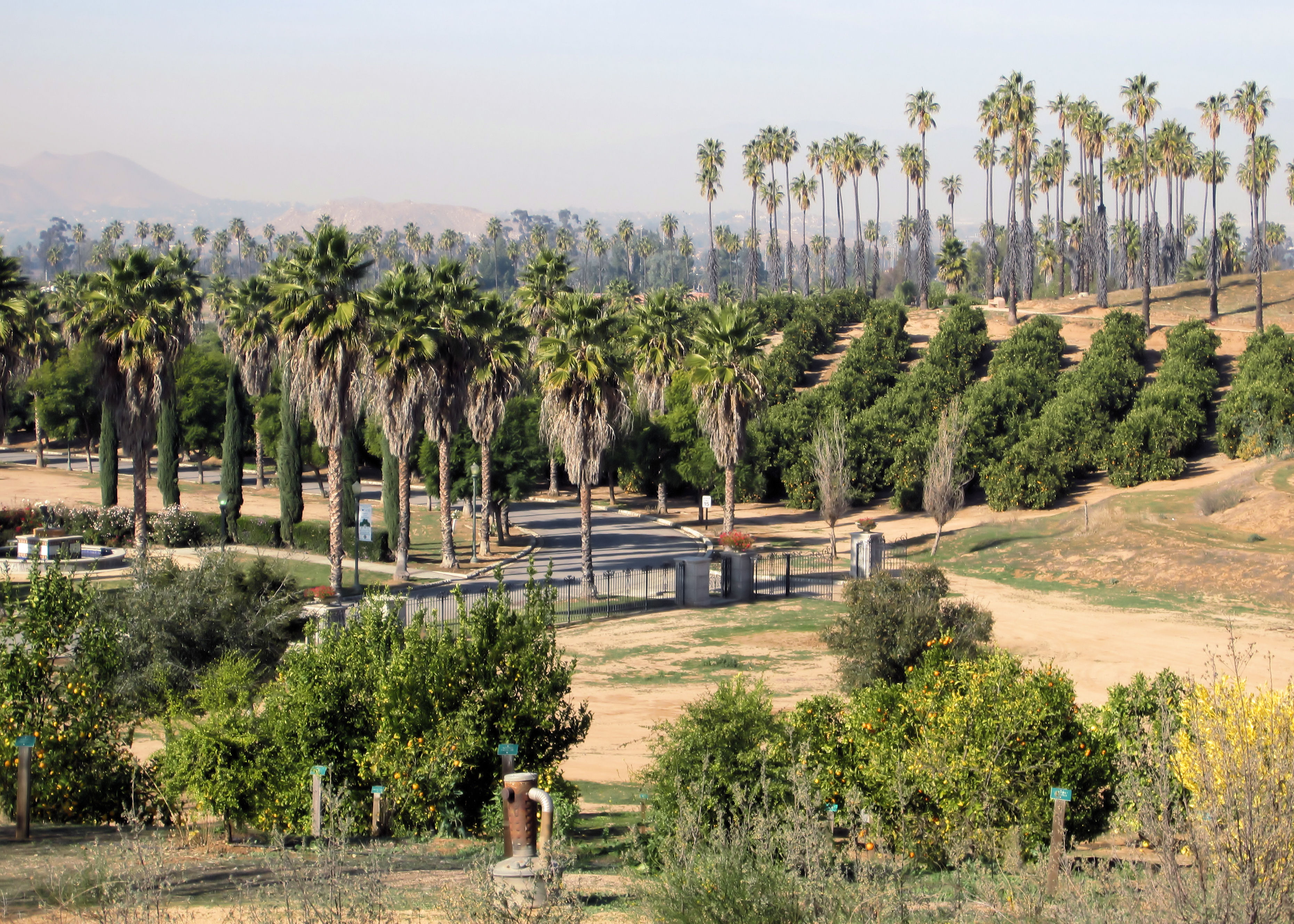
California Citrus State Historic Park

Santiago Trail Revolution 2

View across Silverado Canyon

Upper Cretaceous rocks on the Harding Truck Trail
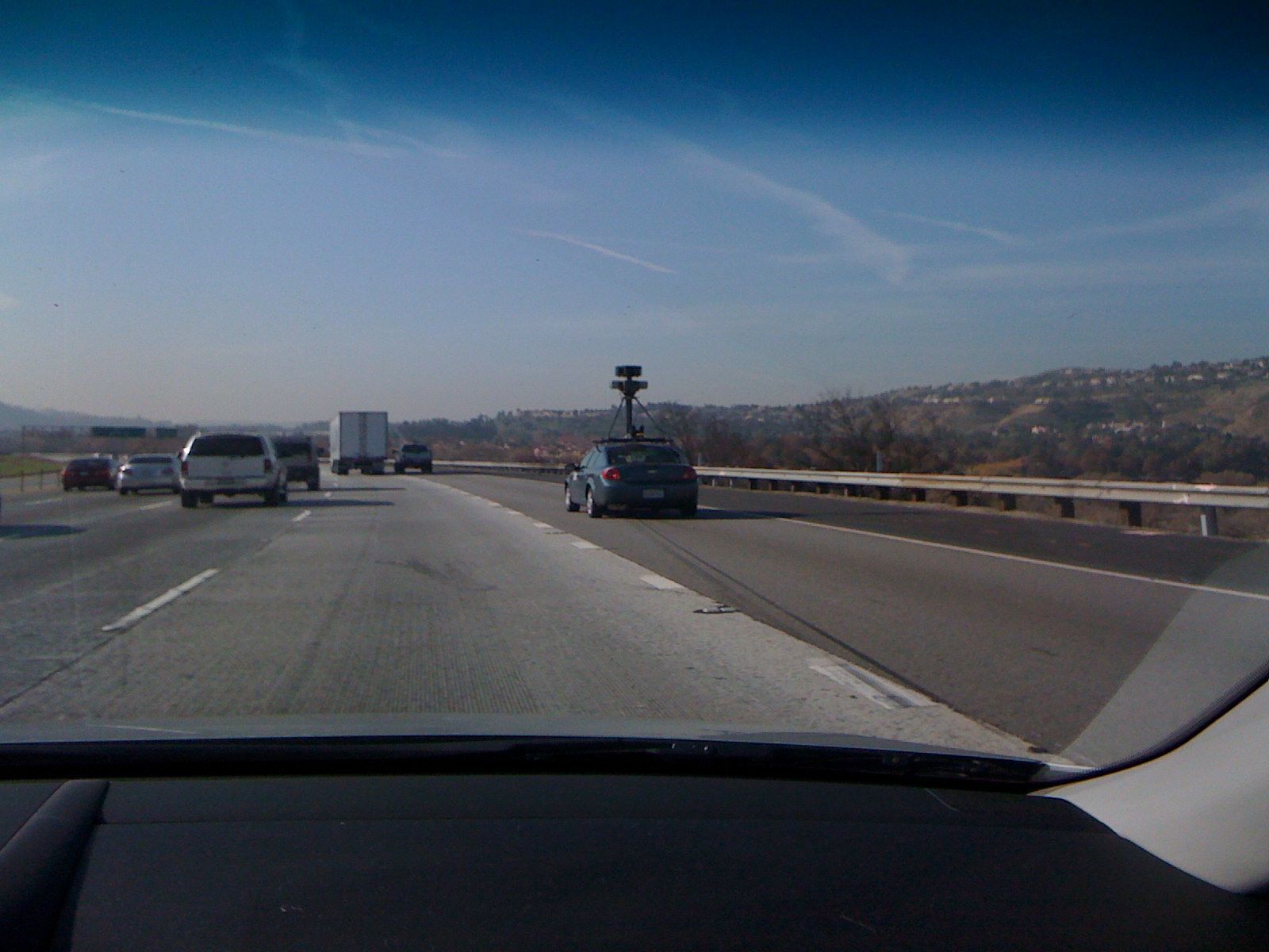
google street view car
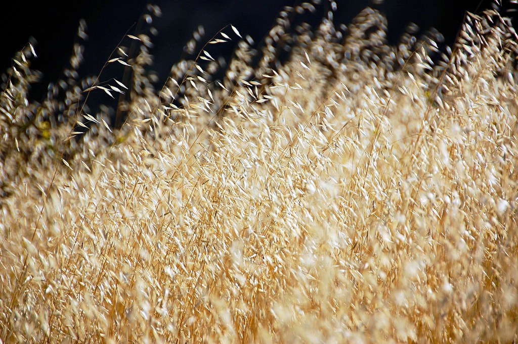
Wild Oats

Holy Jim Falls
Silverado Canyon from Maple Springs Trailhead, Santa Ana Mountains

SoCal from the top

Laurel Springs Trail Head
Blackstar to Deathstar 2,300 ft of climbing -16.7 miles.. Gotta earn the view up here! @oakleybike @girocycling @clymb @ellsworth_bikes @garmin

P1010282 pano view

Walnut Breadboard Sofa Table
Walnut Breadboard Sofa Table

Picture 011

Norco Valley Fair 148

The panorama view from Limestone Canyon to Irvine Lake

skull canyon. USA. Google earth view

Edge of the Road, Edge of the Fire

Black Star Canyon

OCHS Blue Light Mine hike

Dead Tree with Clouds and Impending Sunset

Modjeska Canyon

A lemony peek at the Pacific

Mysterious Meadow

Dead Tree Point with Fog

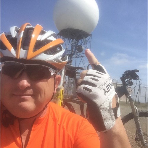
AstroCamp Idyllwild
Black Star Canyon

Black Star Canyon

Clear day
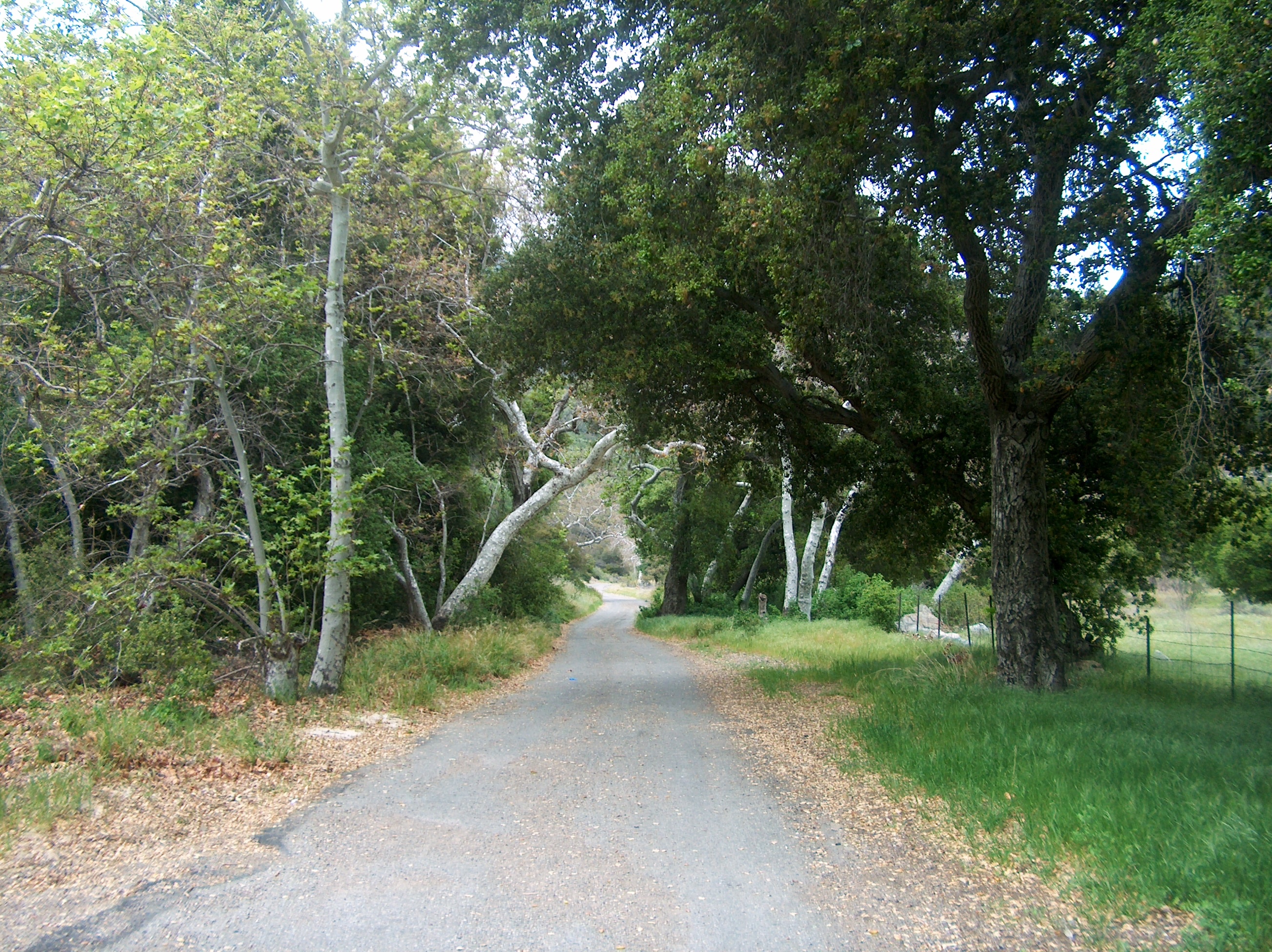
2013.12.14 - Harding Truck Trail

2013.12.14 - Harding Truck Trail

Cleveland National Park- Infrared
Coal Canyon

Silverado Canyon 4/22/2011

Untitled (grass meadow)

Near Modjeska Peak, looking toward Riverside Co.
Topographic Map of Via Sevilla St, Corona, CA, USA
Find elevation by address:

Places near Via Sevilla St, Corona, CA, USA:
1527 Beacon Ridge Way
1763 Hayden Ave
1379 Roadrunner Dr
4320 Butler National Rd
1800 Eagle Glen Pkwy
3348 Redport Dr
Eagle Glen Parkway
Bedford Canyon Road
2457 Marigold Way
Royal Summit Circle
3770 Wallowa Cir
T-mobile
4063 Suzie Cir
19030 State St
Quiet Meadow Circle
3540 Birchleaf Dr
674 Gambel Dr
Winston Way, Corona, CA, USA
3211 S Main St
559 C L Fleming Cir
Recent Searches:
- Elevation of Corso Fratelli Cairoli, 35, Macerata MC, Italy
- Elevation of Tallevast Rd, Sarasota, FL, USA
- Elevation of 4th St E, Sonoma, CA, USA
- Elevation of Black Hollow Rd, Pennsdale, PA, USA
- Elevation of Oakland Ave, Williamsport, PA, USA
- Elevation of Pedrógão Grande, Portugal
- Elevation of Klee Dr, Martinsburg, WV, USA
- Elevation of Via Roma, Pieranica CR, Italy
- Elevation of Tavkvetili Mountain, Georgia
- Elevation of Hartfords Bluff Cir, Mt Pleasant, SC, USA