Elevation of Roadrunner Dr, Corona, CA, USA
Location: United States > California > Riverside County > Corona >
Longitude: -117.55229
Latitude: 33.8294429
Elevation: 377m / 1237feet
Barometric Pressure: 97KPa
Elevation Map:
Satellite Map:
Related Photos:
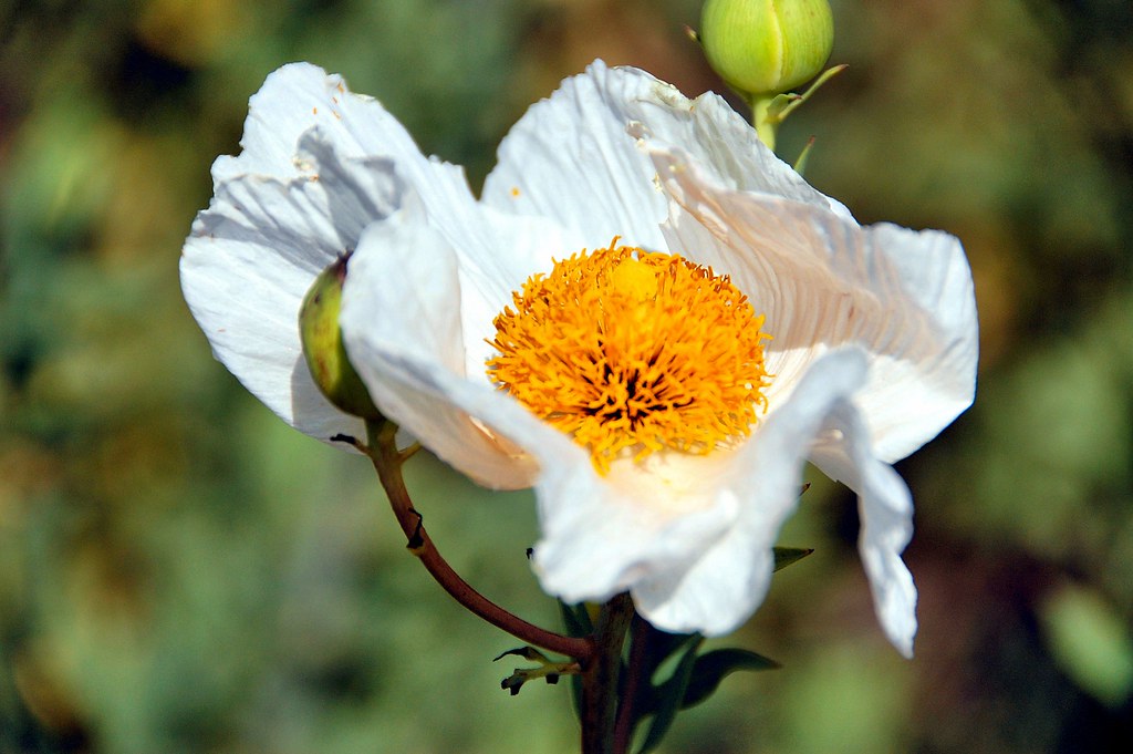
Marilyn (Matilija Poppy)

Riverside - 6350 Van Buren Blvd.
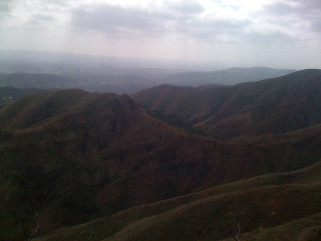
View from STT
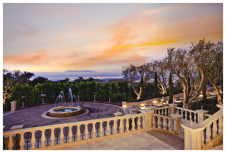
Twilight View
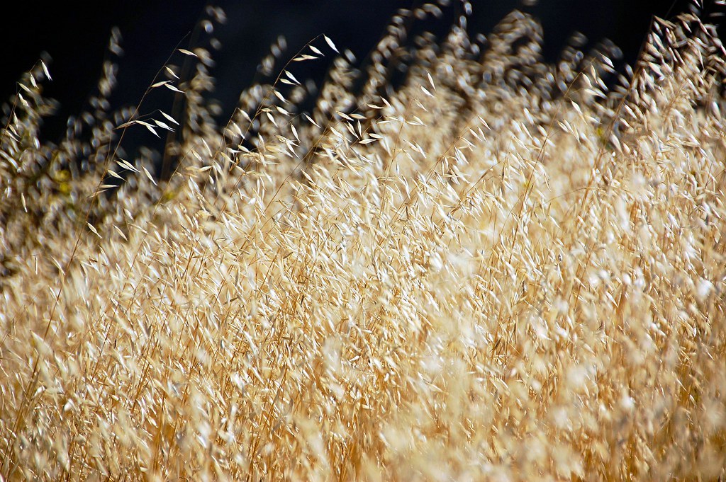
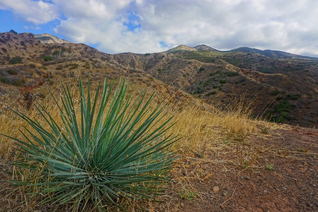
Wild Oats
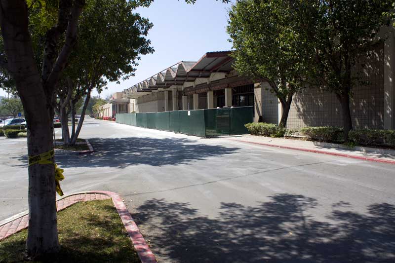
Car Wash, Working At The Car Wash Yeah
Silverado Canyon Revolution
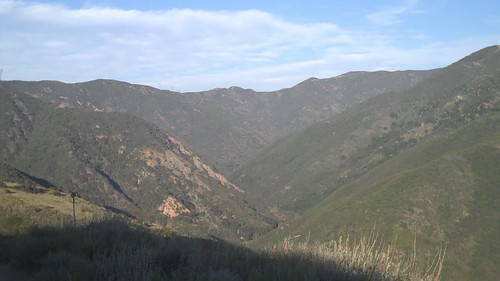
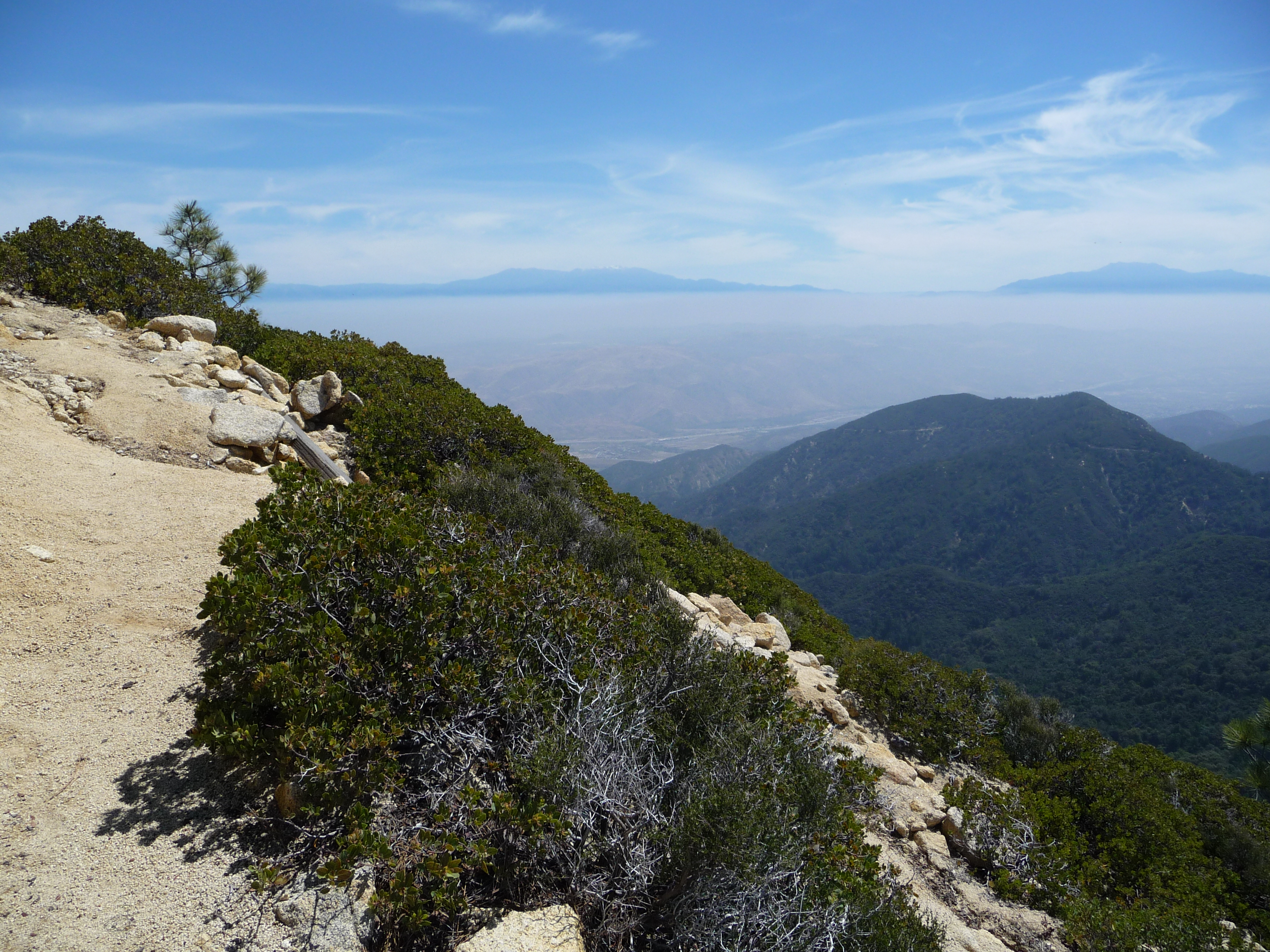
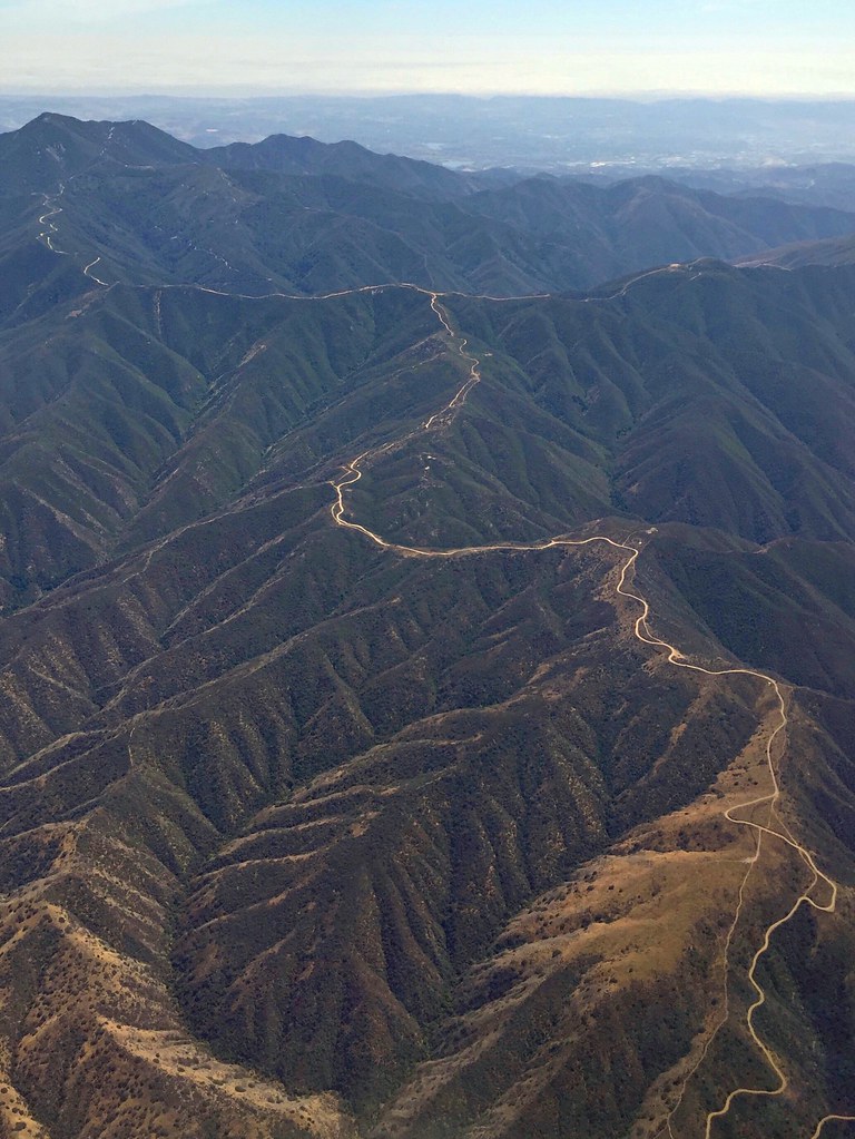
Santa Ana Mountains
Physical fitness with a view. #getfit #runforestrun #shedfat #24hrfitness
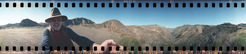
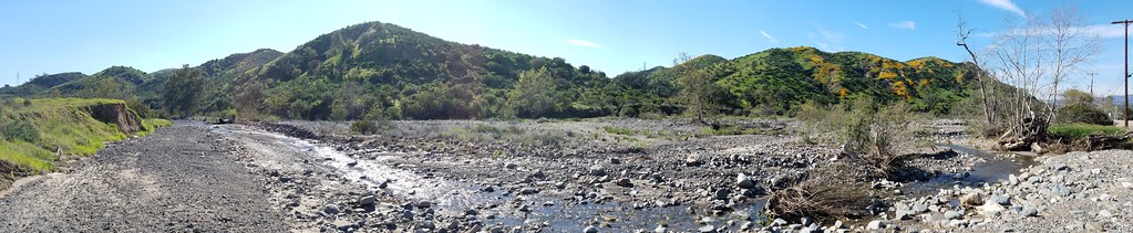
P1010280 pano view
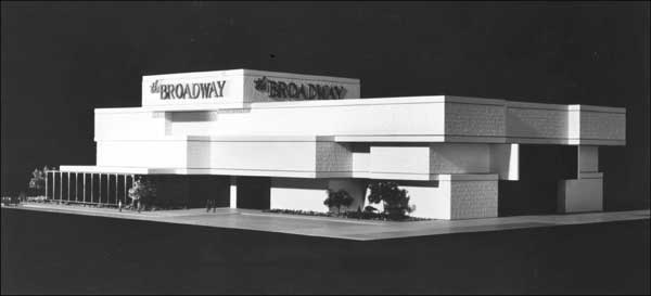
Riverside - The Broadway
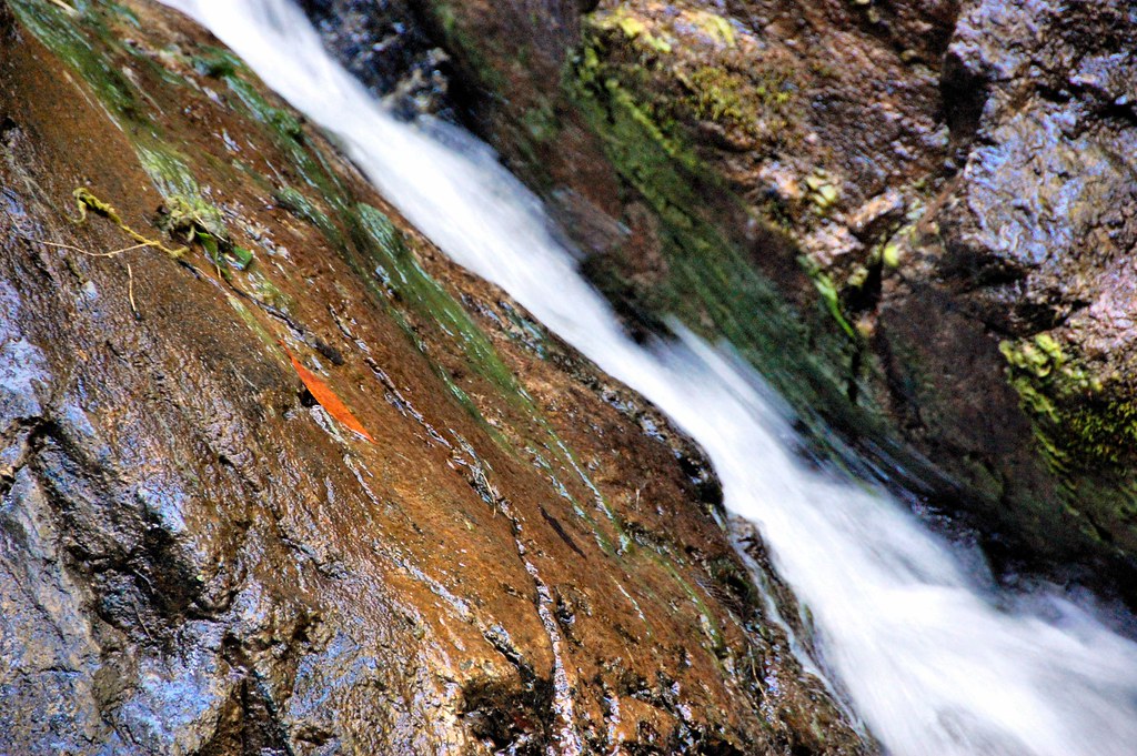
Holy Jim Falls
Night View
Riverside - 3520 Tyler St.
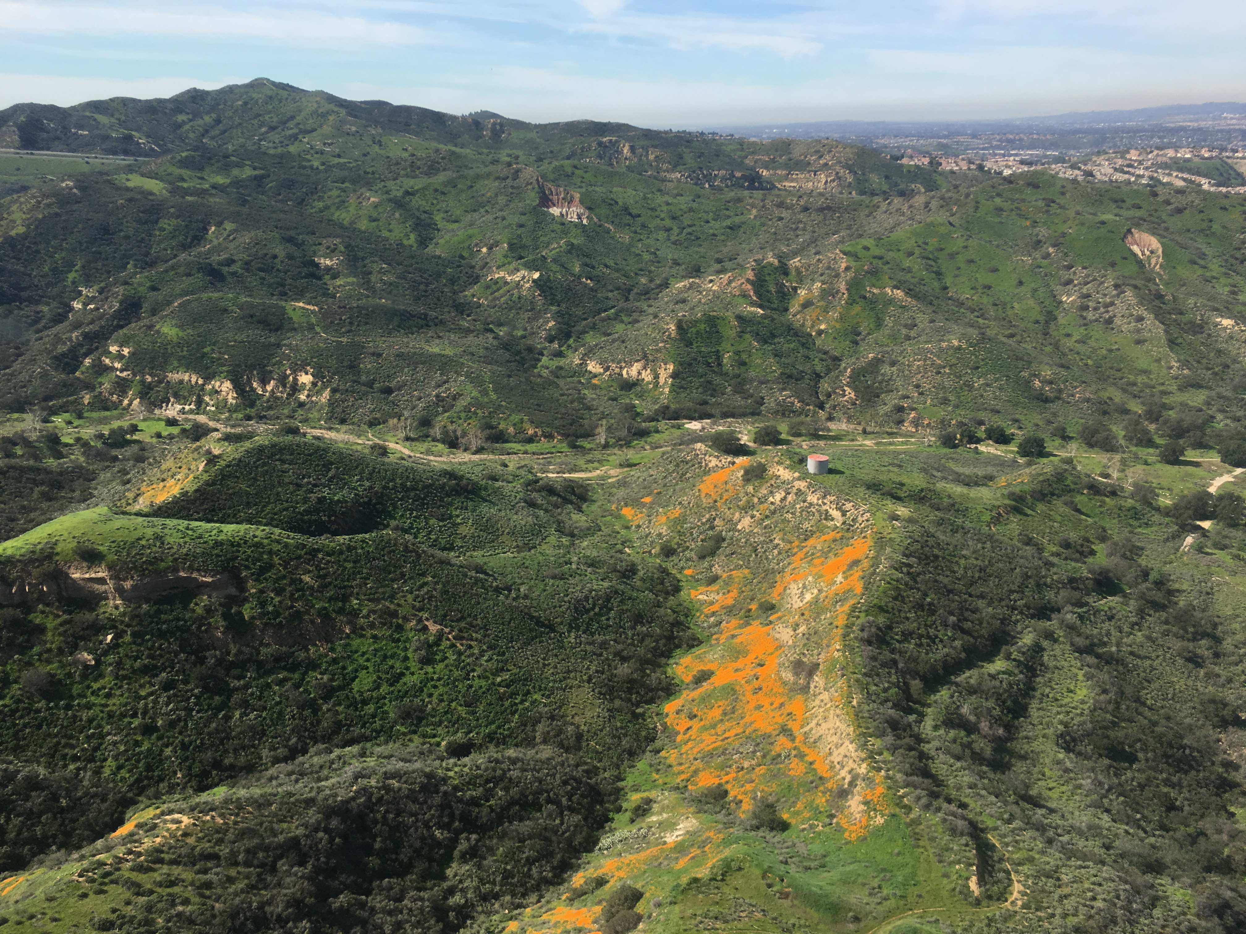
Gypsum Canyon Poppies
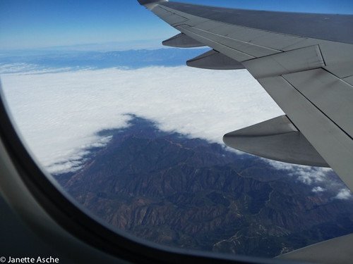
Somewhere near Corona in CA - view from airplane window
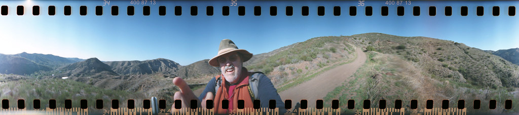
Harding Trail Spinner
Cleveland National Forest
Harding Canyon Spinner
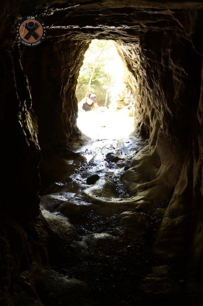
View from the inside of the mine shaft
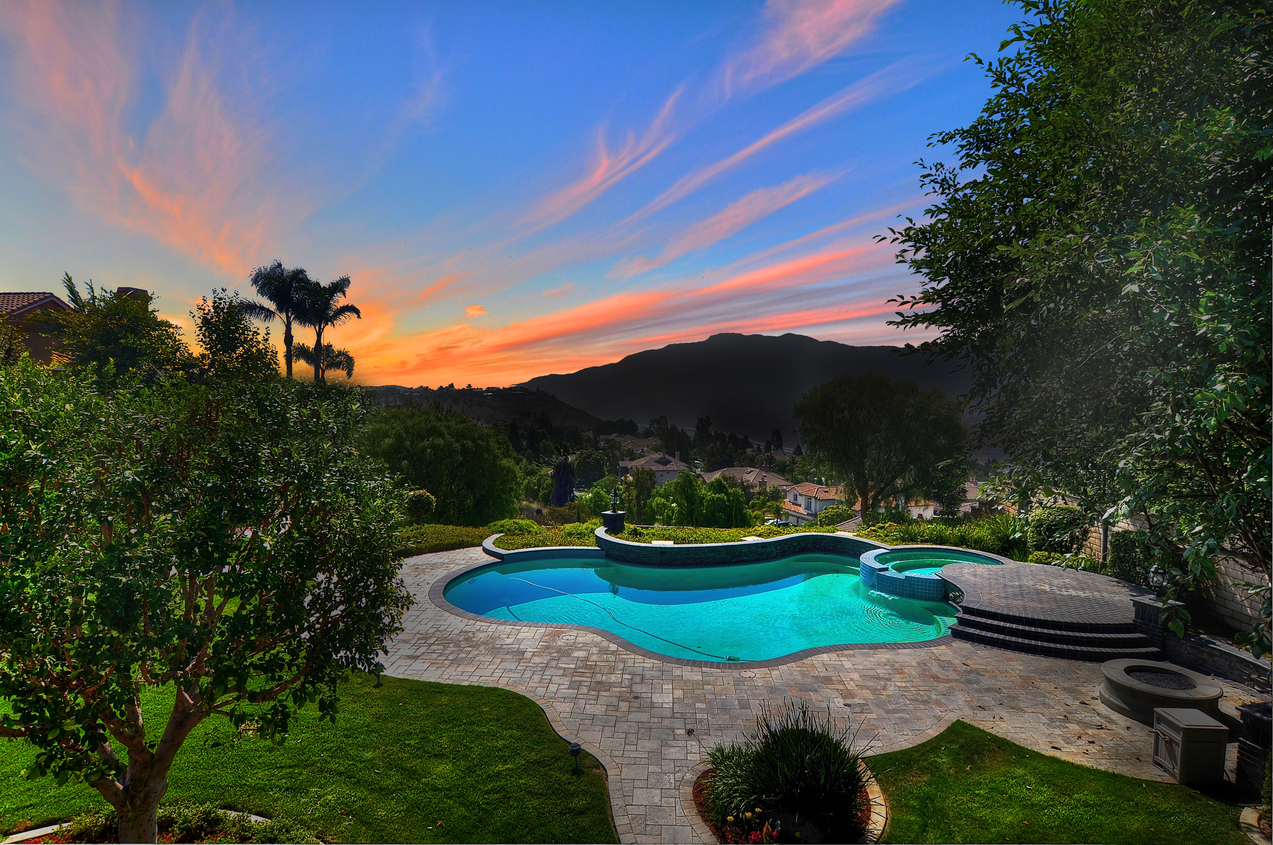
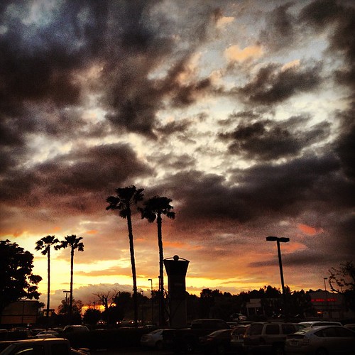
Sunset View

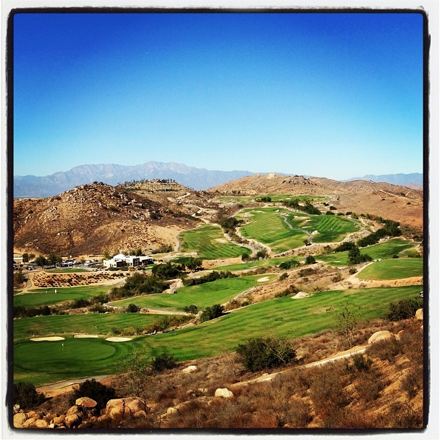
Downhill from here

Laguna Beach Cresent Bay

#new#travel#followme#tourism#instagramers#photolover#tbt#lol#nature#vivid#color#blue#sky#myart#egypt#redSea#tabaheight#justanidea#fun#lol#stillphoto#snapshot#peace#samiaphotography.com#losangeles#california#usa
#new#landscape#nature#SantaAna#River#instamood#tbt#lol#sky#blue#parks#outdoors#summer#heat#Anaheim#CA#USA
#new#landscape#nature#SantaAnaRiver#instalove#lol#tbt#blue#sky#parks#outdoors#summer#heat#Anaheim#justanidea#express#yourself#CA#USA

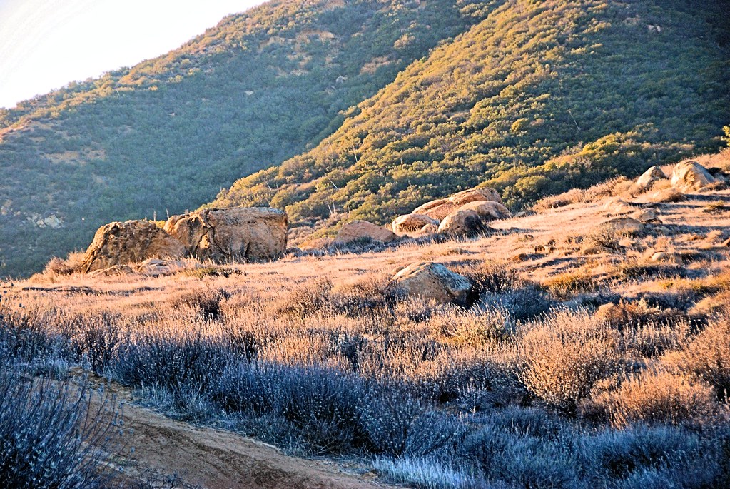
Early Moon over Chaparral 2-14-2011

Image acquired by Sentinel-2B on 2019 January 19 at 18:44 UTC. Centre coordinates: 33.84 N, 117.49 W.

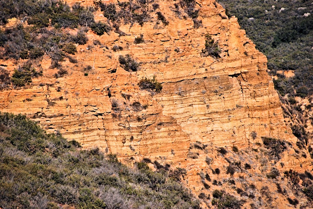
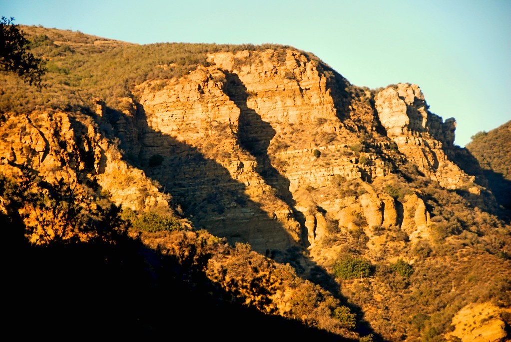
Red Rock and the First Hint of Chaparral
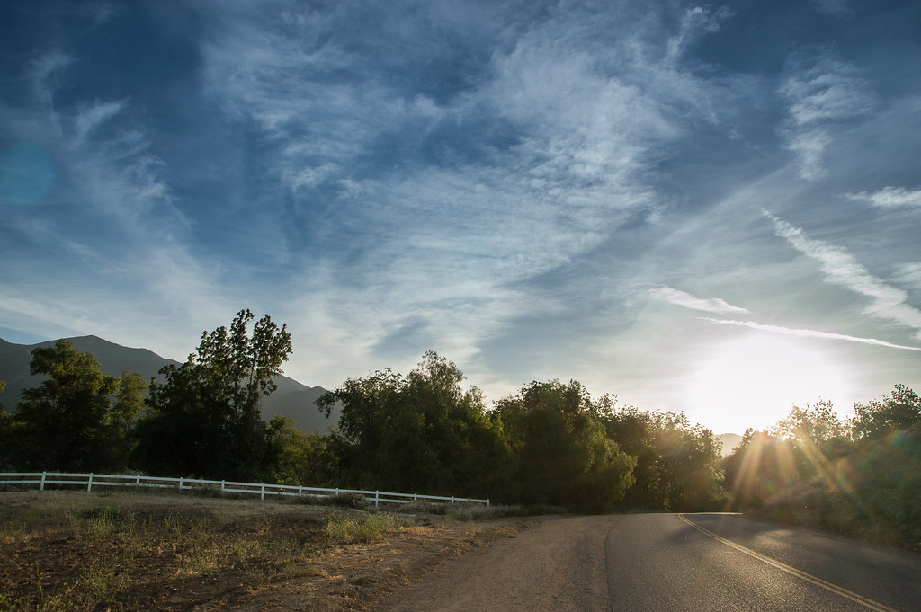
The Road
Black Star Canyon
Santiago Canyon
Always enjoy playing here.

#new#greatfall#changingleaves#vivid#color#instaphoto#tbt#lol#fun#peace#nature#justanidea#coloroflight#expressyourself#nationalpark#anaheim#ca

The clouds were pink. I used an iPod touch to take the pictures.
Black Star Canyon

Black Star Canyon 43

The Glow of the Pacific
Mariposa Preserve (color)

The clouds were pink. I used an iPod touch to take the pictures.
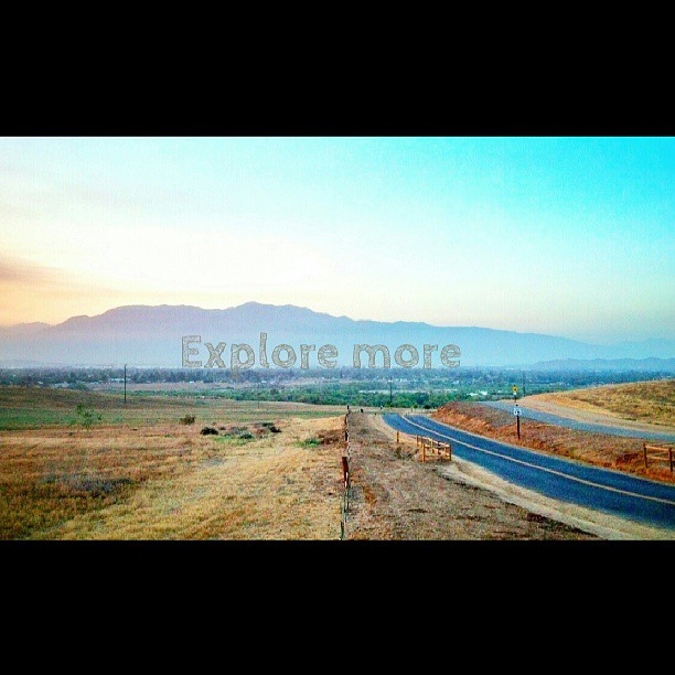
Happy Friday everyone! #exploremore #nature #hiddenvalley #sunset #landscape #photolife
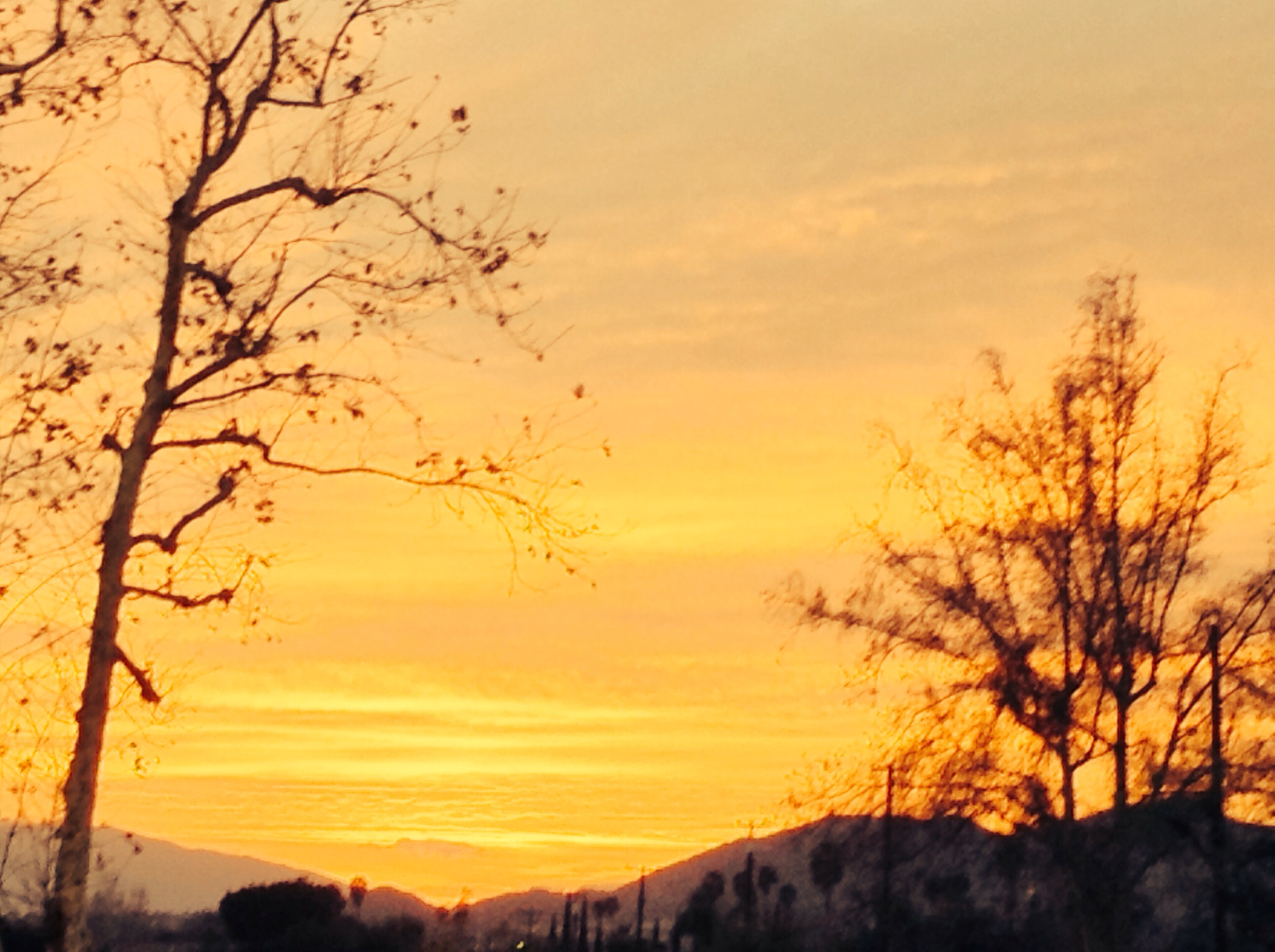
The clouds were pink. I used an iPod touch to take the pictures.
Topographic Map of Roadrunner Dr, Corona, CA, USA
Find elevation by address:

Places near Roadrunner Dr, Corona, CA, USA:
3348 Redport Dr
1676 Via Sevilla St
3770 Wallowa Cir
Royal Summit Circle
1527 Beacon Ridge Way
1763 Hayden Ave
2457 Marigold Way
Quiet Meadow Circle
4063 Suzie Cir
674 Gambel Dr
3540 Birchleaf Dr
3211 S Main St
T-mobile
Winston Way, Corona, CA, USA
559 C L Fleming Cir
2964 Bishop Way
132 Pringle Cir
19030 State St
4320 Butler National Rd
1901 Nutwood Cir
Recent Searches:
- Elevation of Corso Fratelli Cairoli, 35, Macerata MC, Italy
- Elevation of Tallevast Rd, Sarasota, FL, USA
- Elevation of 4th St E, Sonoma, CA, USA
- Elevation of Black Hollow Rd, Pennsdale, PA, USA
- Elevation of Oakland Ave, Williamsport, PA, USA
- Elevation of Pedrógão Grande, Portugal
- Elevation of Klee Dr, Martinsburg, WV, USA
- Elevation of Via Roma, Pieranica CR, Italy
- Elevation of Tavkvetili Mountain, Georgia
- Elevation of Hartfords Bluff Cir, Mt Pleasant, SC, USA