Elevation of Quiet Meadow Circle, Quiet Meadow Cir, Corona, CA, USA

Location: United States > California > Riverside County > Corona >

Longitude: -117.54961

Latitude: 33.8480493

Elevation: 287m / 942feet

Barometric Pressure: 98KPa

Elevation Map:

elevation map of Quiet Meadow Circle, Quiet Meadow Cir, Corona, CA, USA

Satellite Map:

Satellite map of Quiet Meadow Circle, Quiet Meadow Cir, Corona, CA, USA

Related Photos:

california ca travel blue red sky orange usa cloud storm color green nature rain yellow photoshop canon landscape photo interestingness interesting colorful skies photographer spectrum cs2 picture violet explore adobe southerncalifornia 1001nights doublerainbow hdr multi 2010 miraloma infocus continuos riversidecounty pedley photomatix raonbow 40d topazlabs fullrainbow concordians topazadjust topazdenoise photographersnaturecom davetoussaint cloudsstormssunsetssunrises ringexcellence dblringexcellence
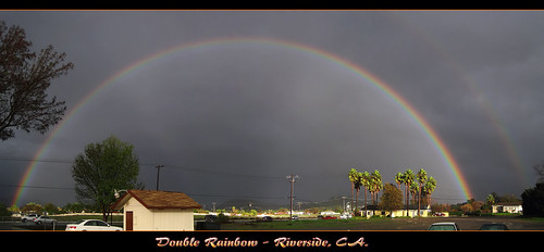
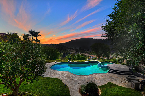
The Double Rainbow in a Storm
Boeing B-17G Flying Fortress
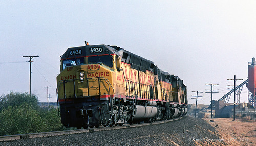
trains railroads unionpacific up lasl locomotive emd dda40x sd402 pedley jarupa valley california
Leaning Centennial
california sign retail arlington store neon riverside bank 1960s southerncalifornia
Riverside - 6350 Van Buren Blvd.
california county orange forest cleveland hike national oc
Cleveland National Forest
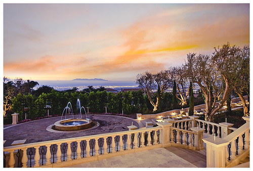
Twilight View
california panorama film analog photo exterior lofi 360 400asa hardingtrucktrail clevelandnationalforest modjeska hardingcanyon lomographycolornegative hardingtrail lomographyspinner360
Harding Canyon Spinner
blackstar silveradocanyon blackstarcanyon blackstarcanyonfalls2
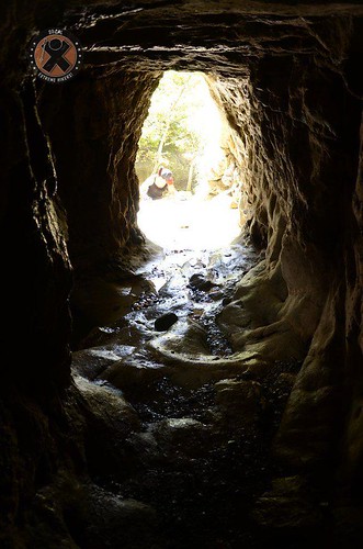
View from the inside of the mine shaft
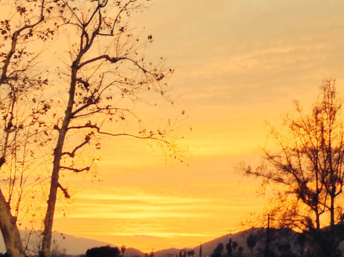
Sunset View
california photo deadtree hardingtrucktrail clevelandnationalforest modjeska modjeskacanyon fauxplatinum hardingtrail
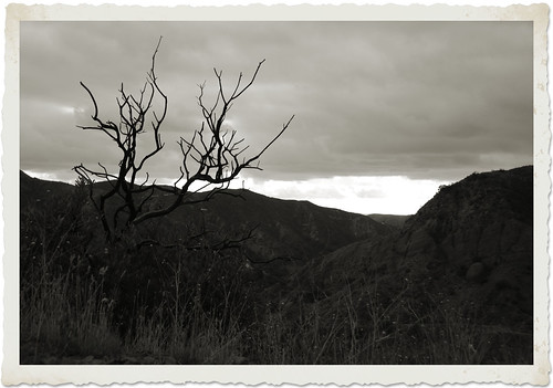
Harding Truck Trail 2/29/2012 #4
santarosaplateau californiaigers uploaded:by=flickstagram jjforum0419 instagram:photo=29994012716717683623031
#santarosaplateau #california_igers #jj_forum_0419
cameraphone carwash greenlight android htc explored ourdailychallenge droidincredible vignettecameraapp hbmike2000 throughasinglewindow
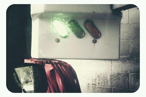
Car Wash, Working At The Car Wash Yeah
square squareformat iphoneography instagramapp uploaded:by=instagram foursquare:venue=4c3bc257def90f47b773fe2d
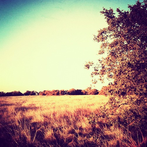
View of the Santa Ana mountain foothills from the Dos Lagos bridge.
uploaded:by=flickstagram instagram:photo=30062214825216455023031 jjforum0420
#jj_forum_0420
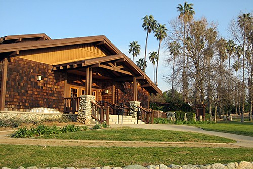
ca riverside craftsman bungalow sunkist arlingtonheights californiacitrusstatehistoricpark elph300hs
CA Citrus State Historic Park - Sunkist Center
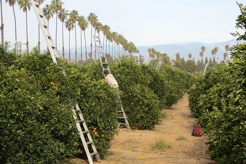
ca riverside harvest oranges arlingtonheights cch californiacitrusstatehistoricpark washingtonnavel elph300hs coronacollegeheightsorangeandlemonassociation harvestingoranges cchcitrus
Harvesting Oranges in Riverside #2
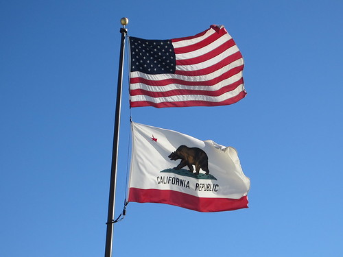
ca riverside usflag unitedstatesflag californiaflag californiastateflag elph300hs
United States Flag & California State Flag
ca riverside gazebo craftsman bungalow sunkist arlingtonheights californiacitrusstatehistoricpark elph300hs
CA Citrus State Historic Park - Gazebo
blackstar silveradocanyon blackstarcanyon blackstarcanyonfalls2
The view from below
california photo waterfall googleearth chaparral hardingtrucktrail clevelandnationalforest modjeska
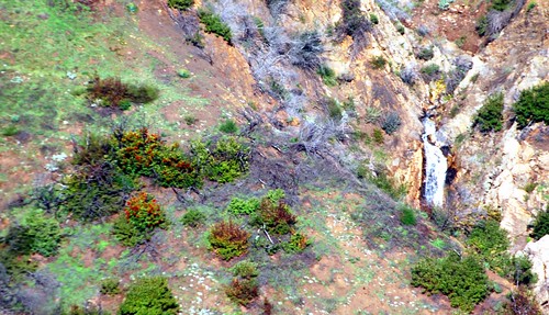
Transient Waterfall
santiago summer plants nature june canon landscape outdoors view hiking scenic powershot socal vegetation southerncalifornia orangecounty chaparral clevelandnationalforest santaanamountains foothiils bedfordpeak sx260
Bedford Peak 6/9/13
square squareformat iphoneography instagramapp uploaded:by=instagram
#new#travel#followme#tourism#instagramers#photolover#tbt#lol#nature#vivid#color#blue#sky#myart#egypt#redSea#tabaheight#justanidea#fun#lol#stillphoto#snapshot#peace#samiaphotography.com#losangeles#california#usa
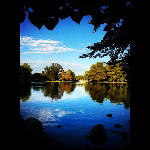
square lofi squareformat iphoneography instagramapp uploaded:by=instagram
#new#landscape#nature#SantaAna#River#instamood#tbt#lol#sky#blue#parks#outdoors#summer#heat#Anaheim#CA#USA
square squareformat iphoneography instagramapp uploaded:by=instagram
#new#landscape#nature#SantaAnaRiver#instalove#lol#tbt#blue#sky#parks#outdoors#summer#heat#Anaheim#justanidea#express#yourself#CA#USA
square squareformat iphoneography instagramapp uploaded:by=instagram foursquare:venue=4e21dfb8e4cdf685918a0ba7
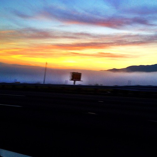
Above the fog below the clouds. #fog #sunrise #clouds #sky #dawn #thetollroads
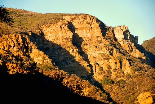
silverado bakercanyon irvineranchnaturallandmarks california photo digital autumn fall geology chaparral morning
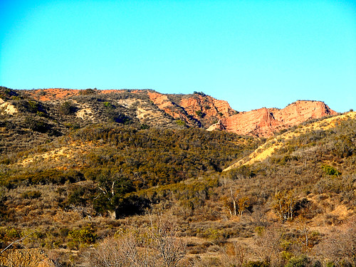
Red Rock and the First Hint of Chaparral
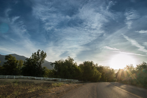
road landscape country countryroad
The Road
california autumn nature digital photo canyon cliffs geology silverado clevelandnationalforest blackstarcanyon
Black Star Canyon
square lofi squareformat iphoneography instagramapp uploaded:by=instagram foursquare:venue=4b86c998f964a5204f9d31e3
Always enjoy playing here.
square squareformat iphoneography instagramapp uploaded:by=instagram
#new#greatfall#changingleaves#vivid#color#instaphoto#tbt#lol#fun#peace#nature#justanidea#coloroflight#expressyourself#nationalpark#anaheim#ca
orange leaves brush trunk blackstarcanyon couunty
Black Star Canyon 43
california winter sunset nature digital photo canyon cliffs silverado clevelandnationalforest blackstarcanyon blackstarcanyonroad
Black Star Canyon
california autumn sunset nature digital photo fashionisland pacificocean hardingtrucktrail clevelandnationalforest modjeska
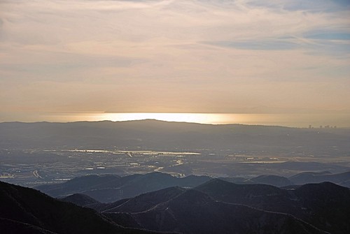
The Glow of the Pacific
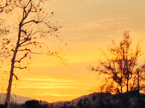
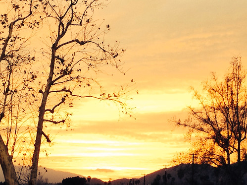
The clouds were pink. I used an iPod touch to take the pictures.
california autumn mountains nature digital photo geology silverado chaparral clevelandnationalforest
Mariposa Preserve (color)
The clouds were pink. I used an iPod touch to take the pictures.
square squareformat normal iphoneography instagramapp uploaded:by=instagram foursquare:venue=4bb532686edc76b0f16b2f1c
Happy Friday everyone! #exploremore #nature #hiddenvalley #sunset #landscape #photolife
The clouds were pink. I used an iPod touch to take the pictures.
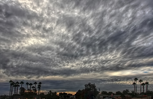
california ca travel sunset usa storm nature photoshop canon landscape photo interestingness google interesting day photographer picture clarity august explore socal adobe getty southerncalifornia mira avon loma adjust infocus glan pedley cs6 2013 denoise 60d topazlabs jurupavalley photographersnaturecom davetoussaint
A Stormy Day In Jurupa Valley
square lofi squareformat iphoneography instagramapp uploaded:by=instagram foursquare:venue=4bafff31f964a520cf303ce3
Just a lil' walk in the park...
california summer digital landscape photo rocks afternoon silverado chaparral outcroppings sagescrub blackstarcanyonwildernesspark irvineranchnaturallandmarks
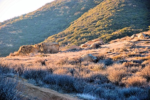
Rocks along Silverado Creek Trail