Elevation of Birchleaf Dr, Corona, CA, USA
Location: United States > California > Riverside County > Corona >
Longitude: -117.57216
Latitude: 33.8357018
Elevation: 372m / 1220feet
Barometric Pressure: 97KPa
Elevation Map:
Satellite Map:
Related Photos:
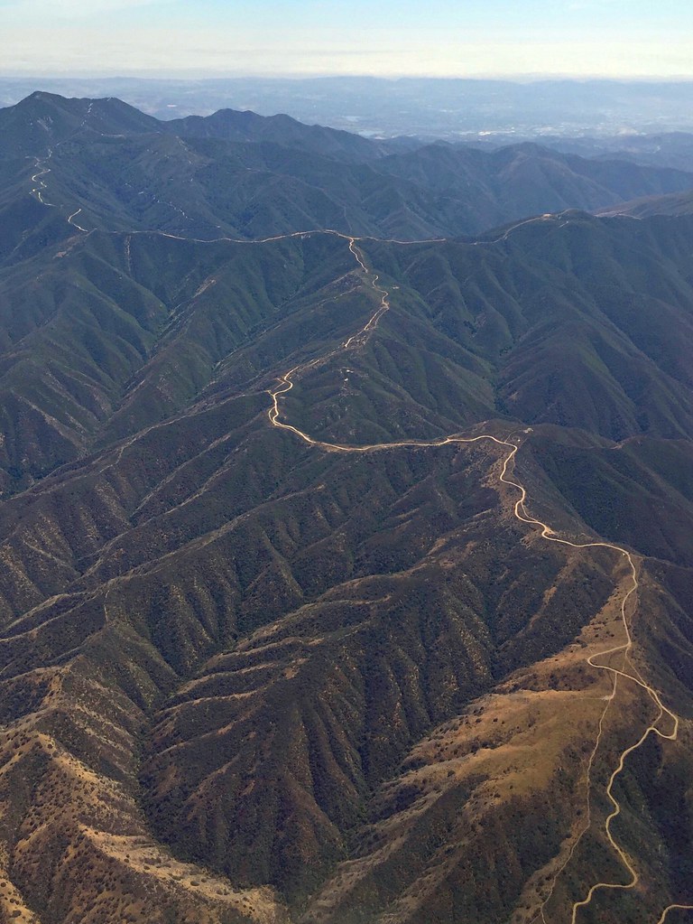
Somewhere near Corona in CA - view from airplane window
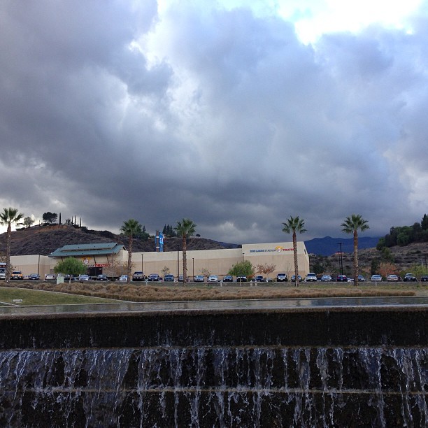
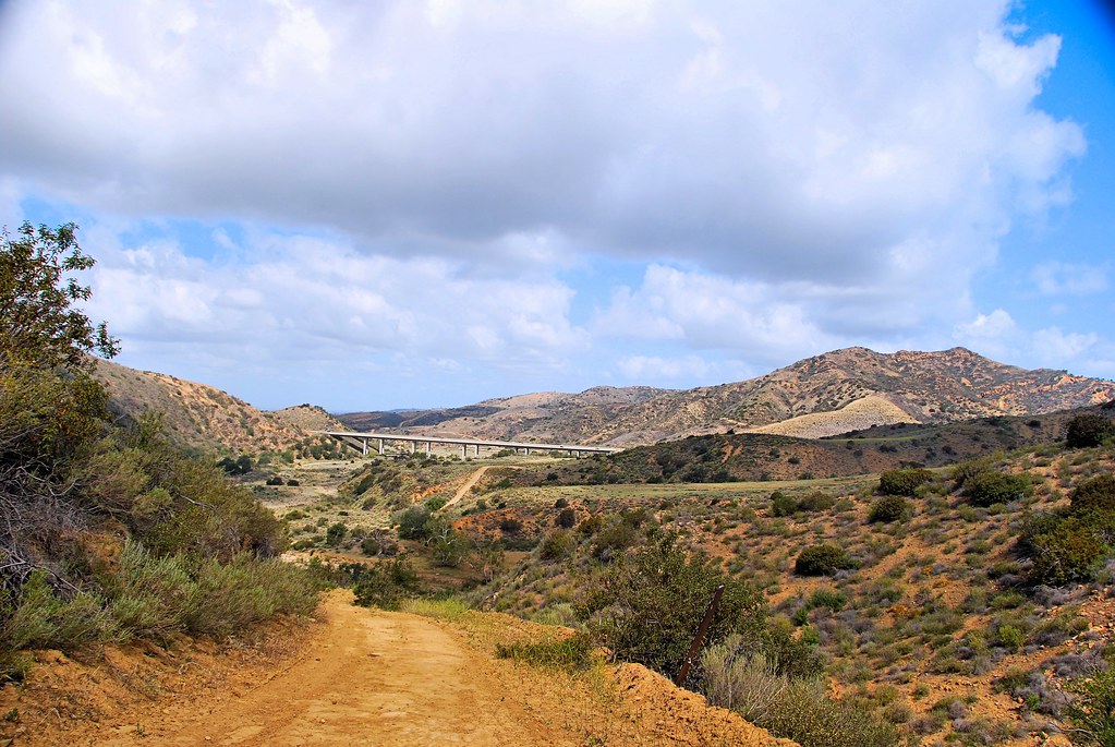
View of the Santa Ana mountain foothills from the Dos Lagos bridge.
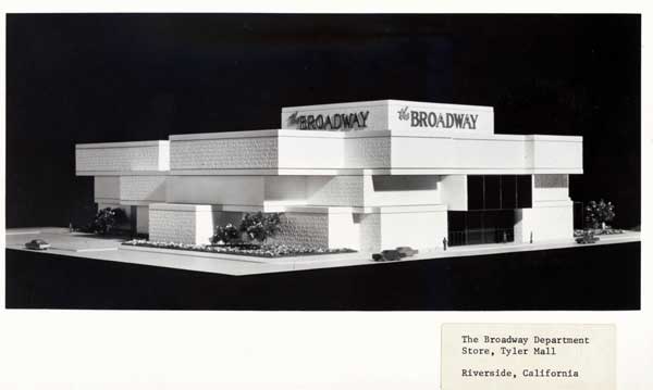
Riverside - The Broadway
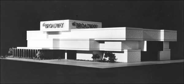
Riverside - The Broadway
Riverside - 3520 Tyler St.
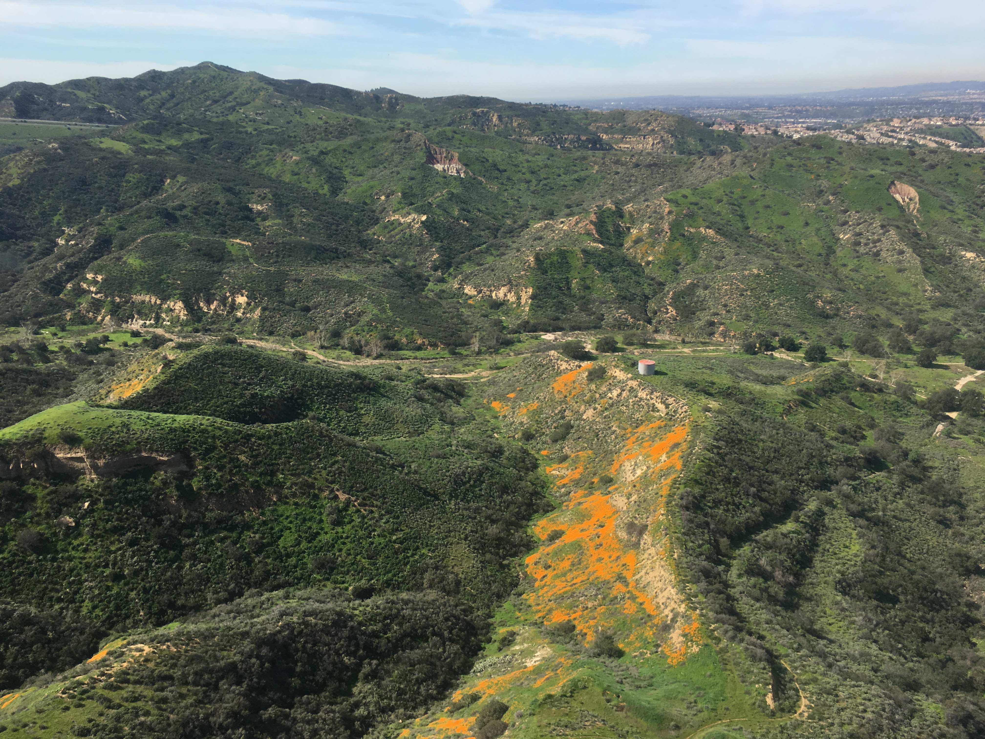
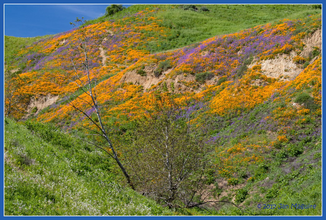
Gypsum Canyon Poppies
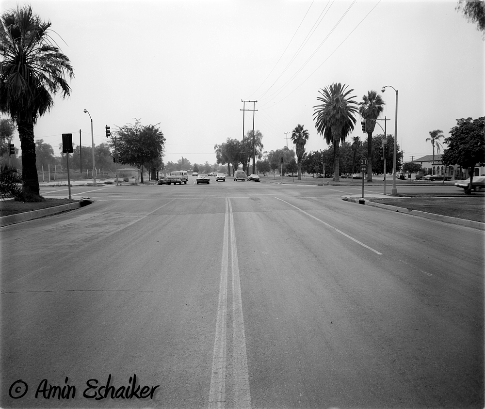
East Grand Avenue at North Main Street, Corona Ca (1973)-01
View from STT
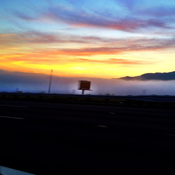
Twilight View
Harding Canyon Spinner
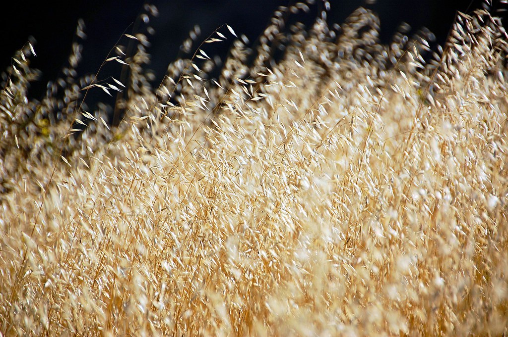
Wild Oats

CA Citrus State Historic Park - Interpretive Path
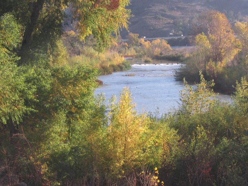
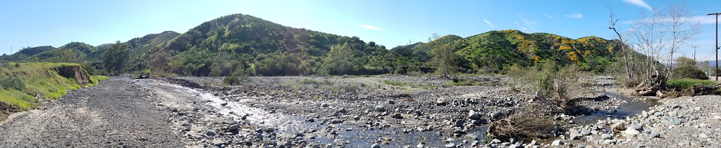
Santa Ana River
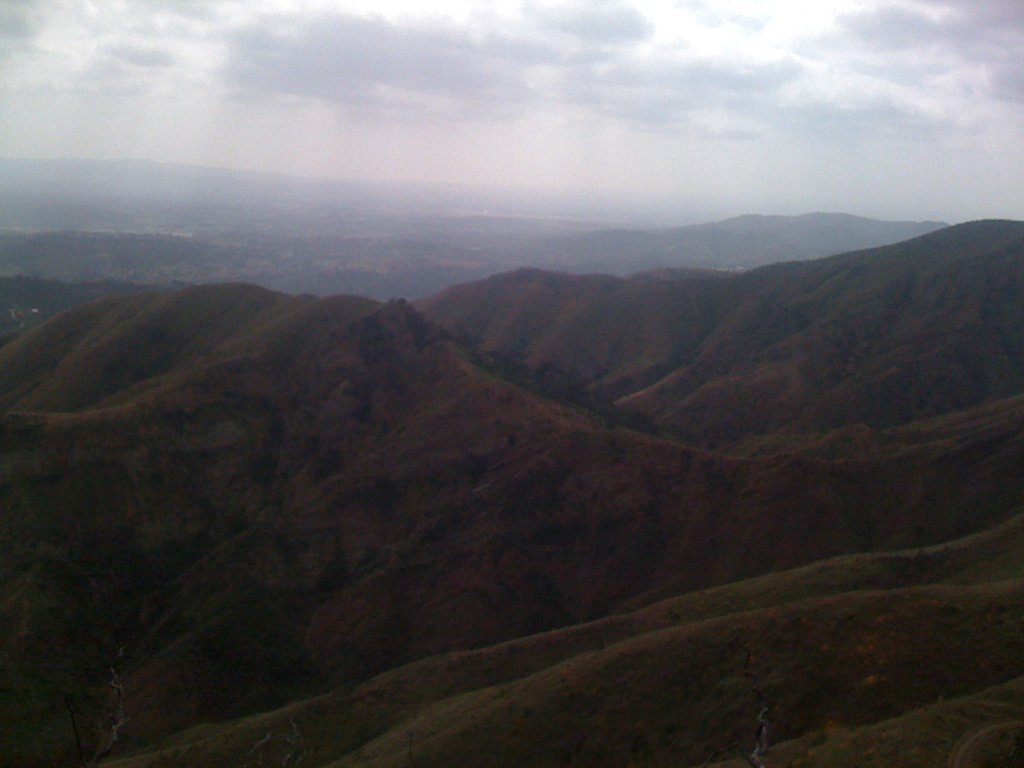
Harding Truck Trail 2/29/2012 #4

Is your baby this cute? Prove it! $50.00, 5 picks, online viewing. #perfectlyedited #perfectlyposed #cutiepatooty
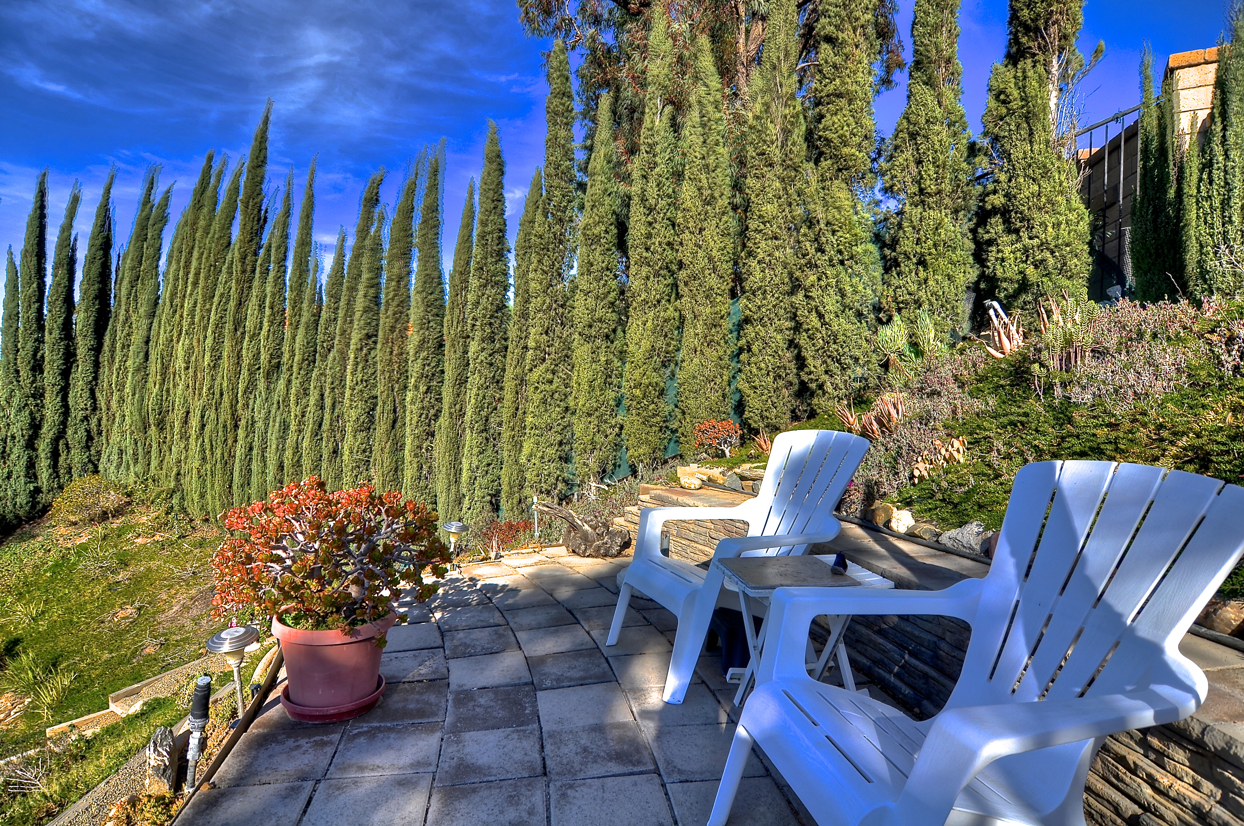
Viewing Terrace
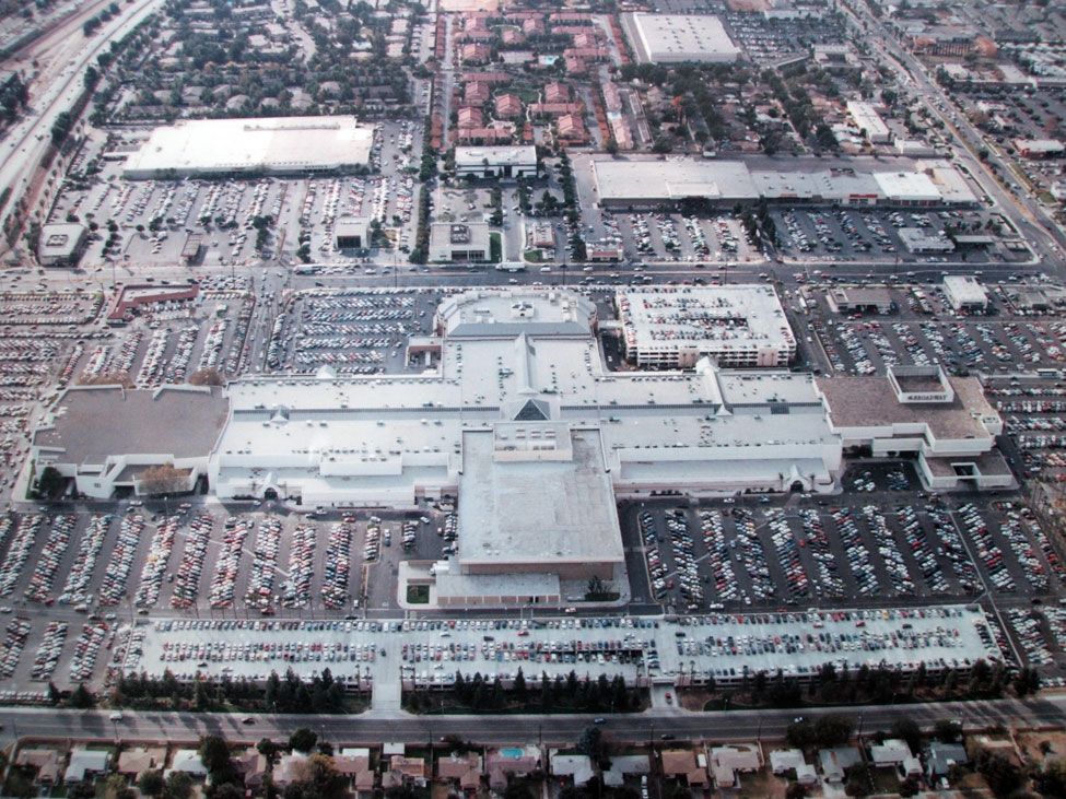
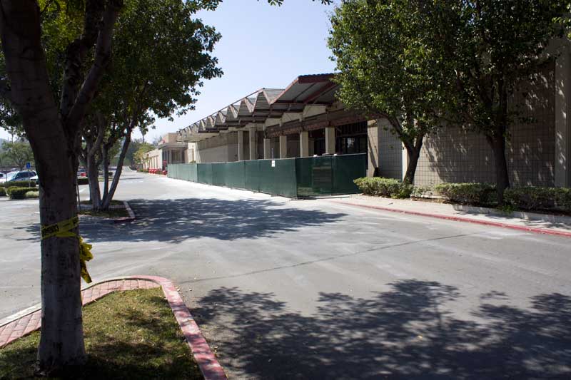
Riverside - Galleria at Tyler
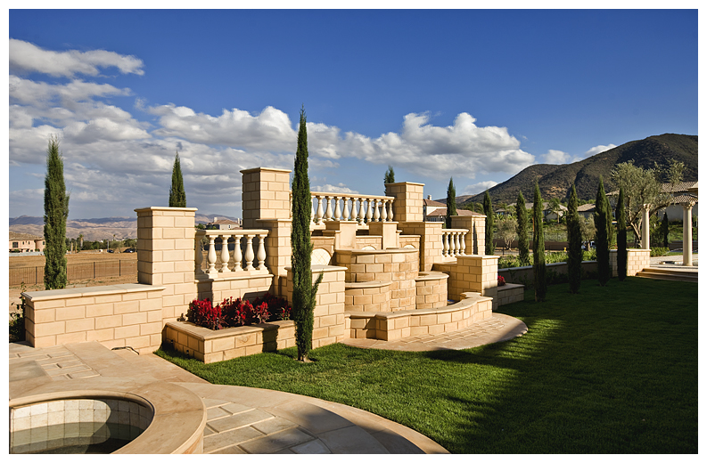
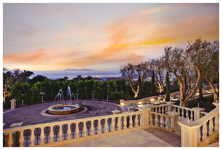
Fountain and Views
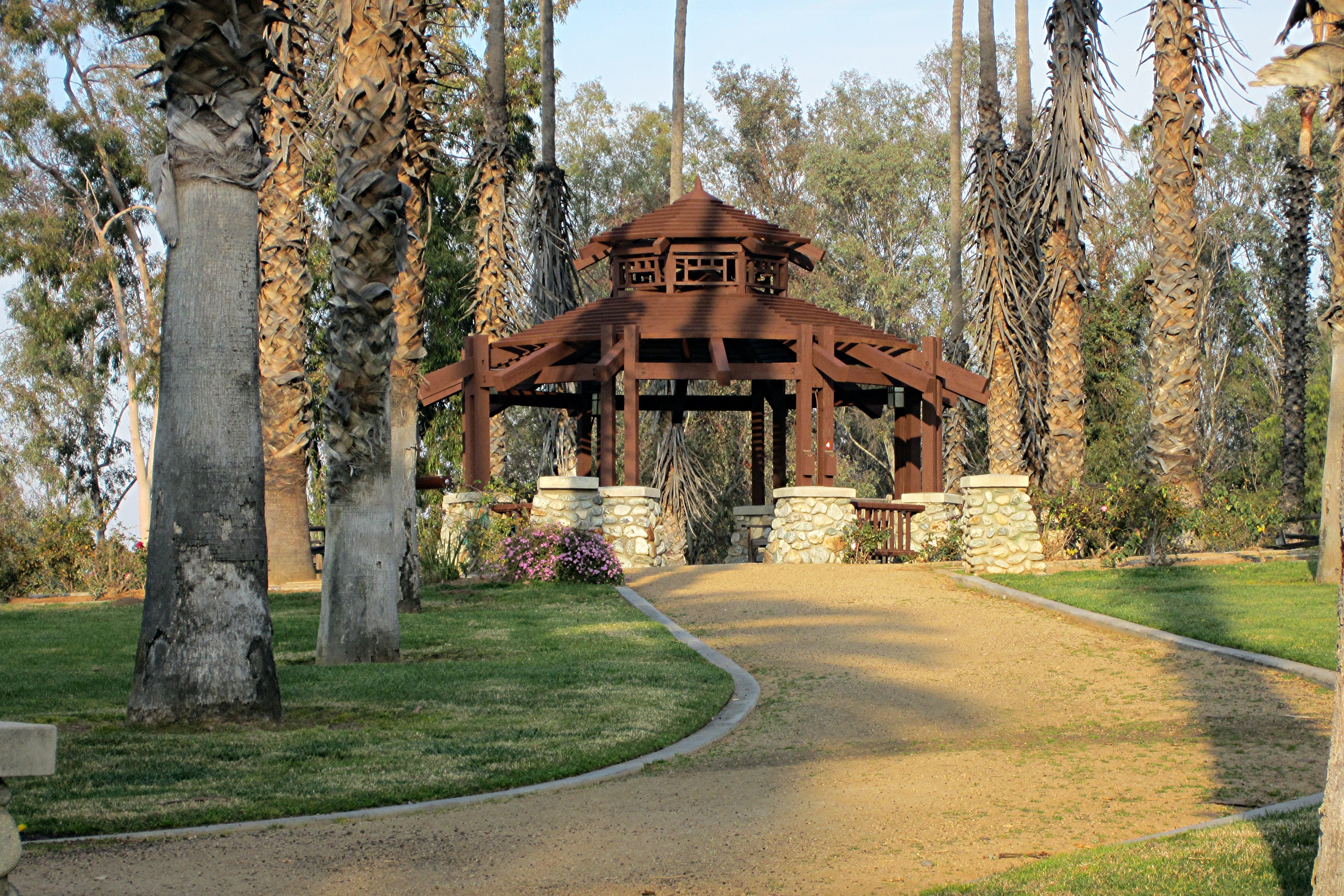
CA Citrus State Historic Park - Gazebo

The view from below

Calliope Hummingbird (male) (13818)
Chino Hills 5630
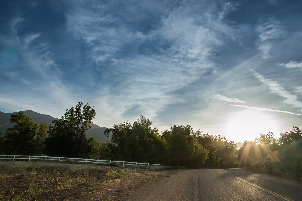
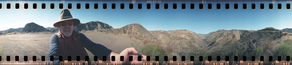
The Road
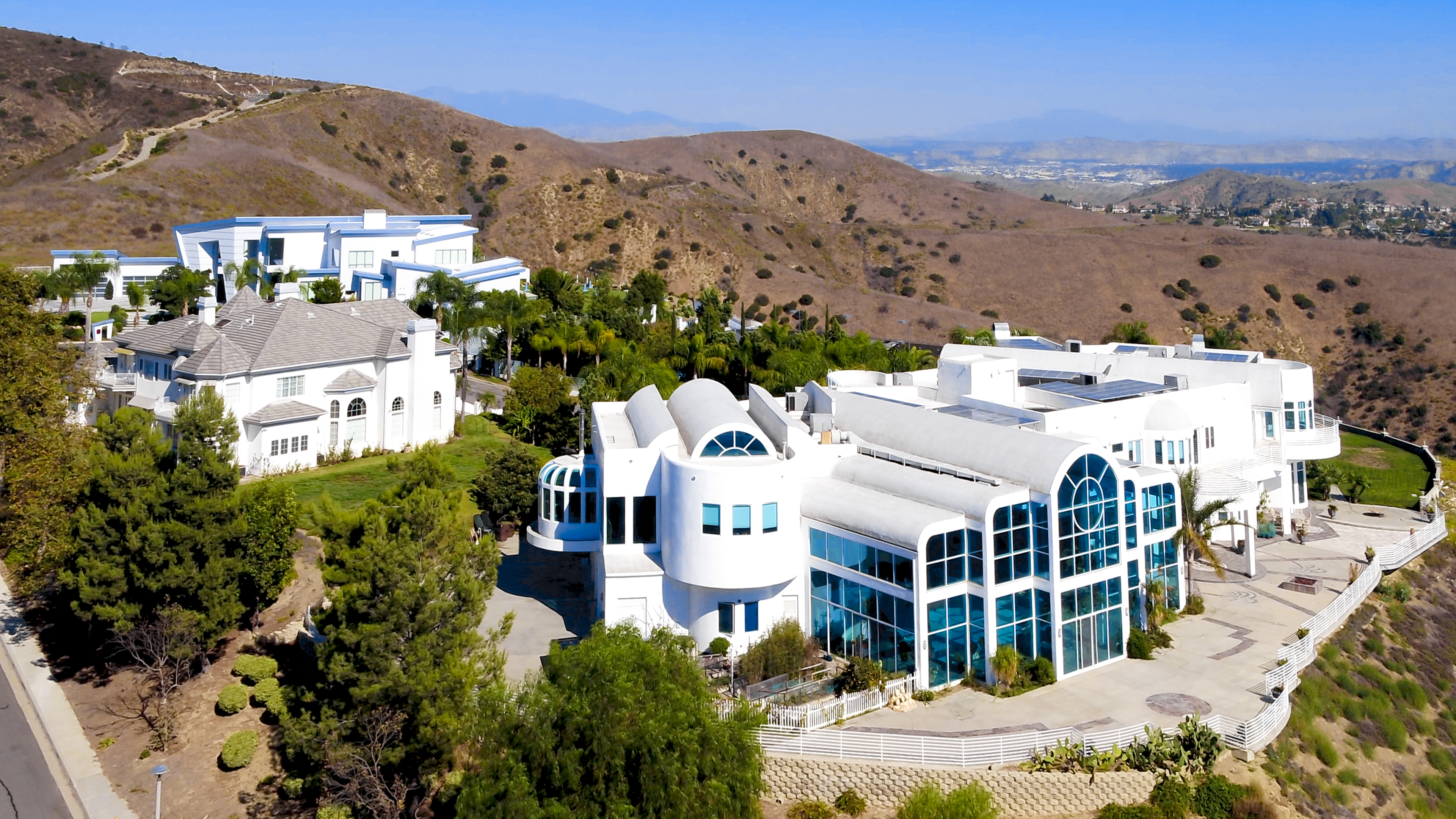
Lives of the Rich in Yorba Linda
Toll road landscape
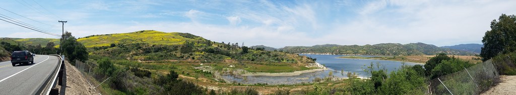
The Return of Irvine Lake

Laguna Beach Cresent Bay

DSC00701.JPG

#new#travel#followme#tourism#instagramers#photolover#tbt#lol#nature#vivid#color#blue#sky#myart#egypt#redSea#tabaheight#justanidea#fun#lol#stillphoto#snapshot#peace#samiaphotography.com#losangeles#california#usa
#new#landscape#nature#SantaAna#River#instamood#tbt#lol#sky#blue#parks#outdoors#summer#heat#Anaheim#CA#USA
#new#landscape#nature#SantaAnaRiver#instalove#lol#tbt#blue#sky#parks#outdoors#summer#heat#Anaheim#justanidea#express#yourself#CA#USA

Early Moon over Chaparral 2-14-2011
Above the fog below the clouds. #fog #sunrise #clouds #sky #dawn #thetollroads

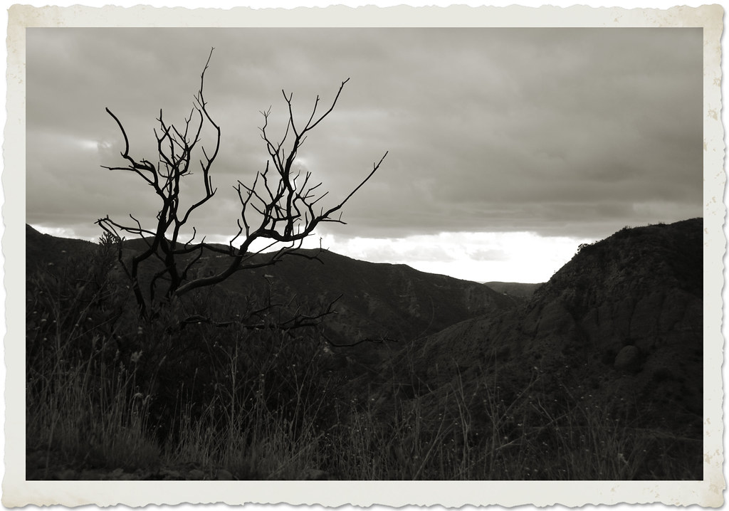
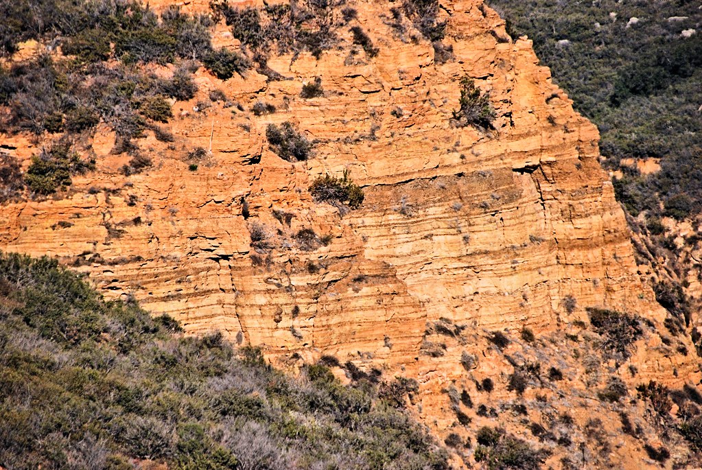
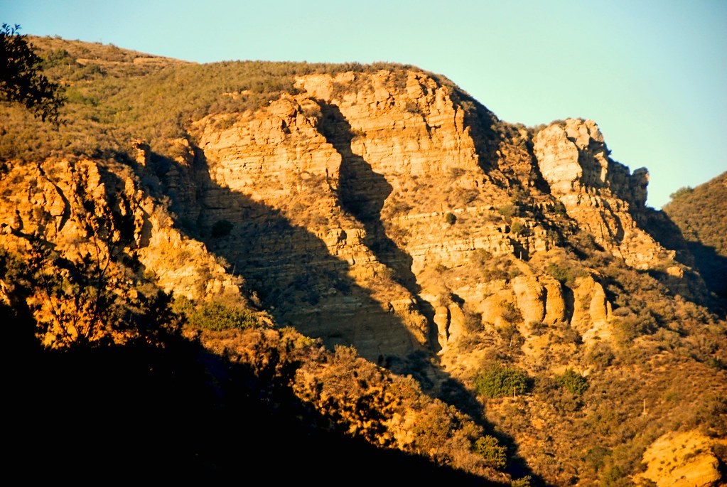
Red Rock and the First Hint of Chaparral
Black Star Canyon
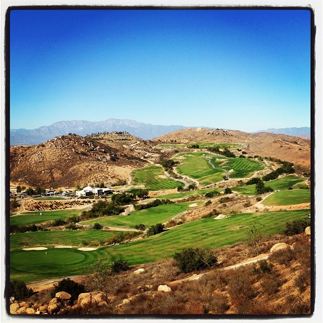
Always enjoy playing here.
Santiago Canyon

#new#greatfall#changingleaves#vivid#color#instaphoto#tbt#lol#fun#peace#nature#justanidea#coloroflight#expressyourself#nationalpark#anaheim#ca
Black Star Canyon

Black Star Canyon 43

The Glow of the Pacific

The clouds were pink. I used an iPod touch to take the pictures.
Topographic Map of Birchleaf Dr, Corona, CA, USA
Find elevation by address:

Places near Birchleaf Dr, Corona, CA, USA:
3211 S Main St
132 Pringle Cir
2964 Bishop Way
411 Orange Heights Ln
3770 Wallowa Cir
Royal Summit Circle
4063 Suzie Cir
895 Sheppard Crest Dr
3785 Mountain Gate Dr
674 Gambel Dr
2550 S Main St
2550 S Main St
559 C L Fleming Cir
1379 Roadrunner Dr
3348 Redport Dr
2885 Coral St
304 W Mission Rd
Quiet Meadow Circle
Winston Way, Corona, CA, USA
3200 Mangular Ave
Recent Searches:
- Elevation of Corso Fratelli Cairoli, 35, Macerata MC, Italy
- Elevation of Tallevast Rd, Sarasota, FL, USA
- Elevation of 4th St E, Sonoma, CA, USA
- Elevation of Black Hollow Rd, Pennsdale, PA, USA
- Elevation of Oakland Ave, Williamsport, PA, USA
- Elevation of Pedrógão Grande, Portugal
- Elevation of Klee Dr, Martinsburg, WV, USA
- Elevation of Via Roma, Pieranica CR, Italy
- Elevation of Tavkvetili Mountain, Georgia
- Elevation of Hartfords Bluff Cir, Mt Pleasant, SC, USA