Elevation of Wallowa Cir, Corona, CA, USA
Location: United States > California > Riverside County > Corona >
Longitude: -117.56584
Latitude: 33.8305432
Elevation: 390m / 1280feet
Barometric Pressure: 97KPa
Elevation Map:
Satellite Map:
Related Photos:
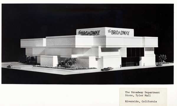
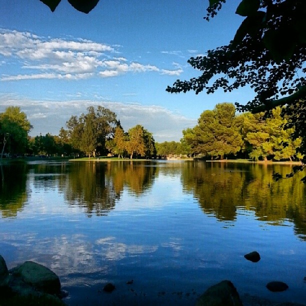
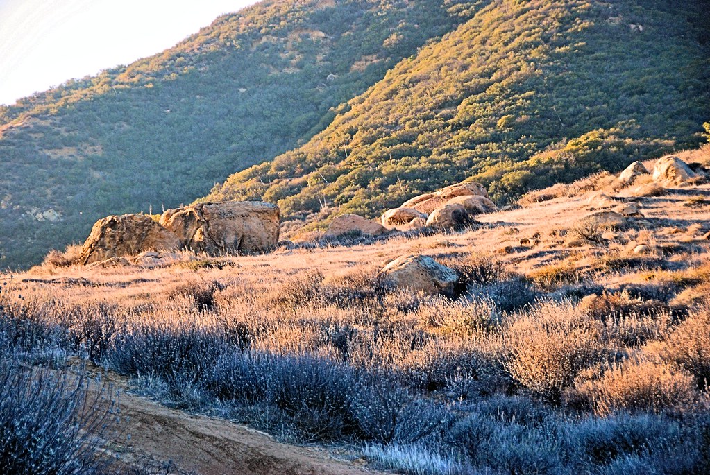
Riverside - The Broadway

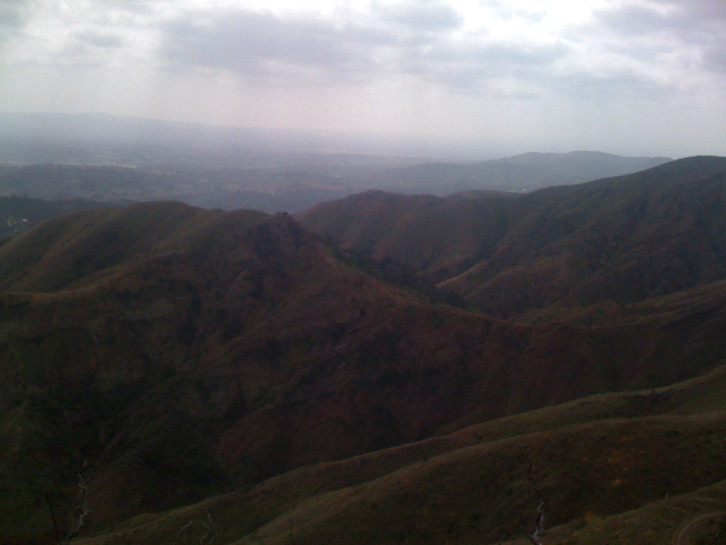
Over the Hump
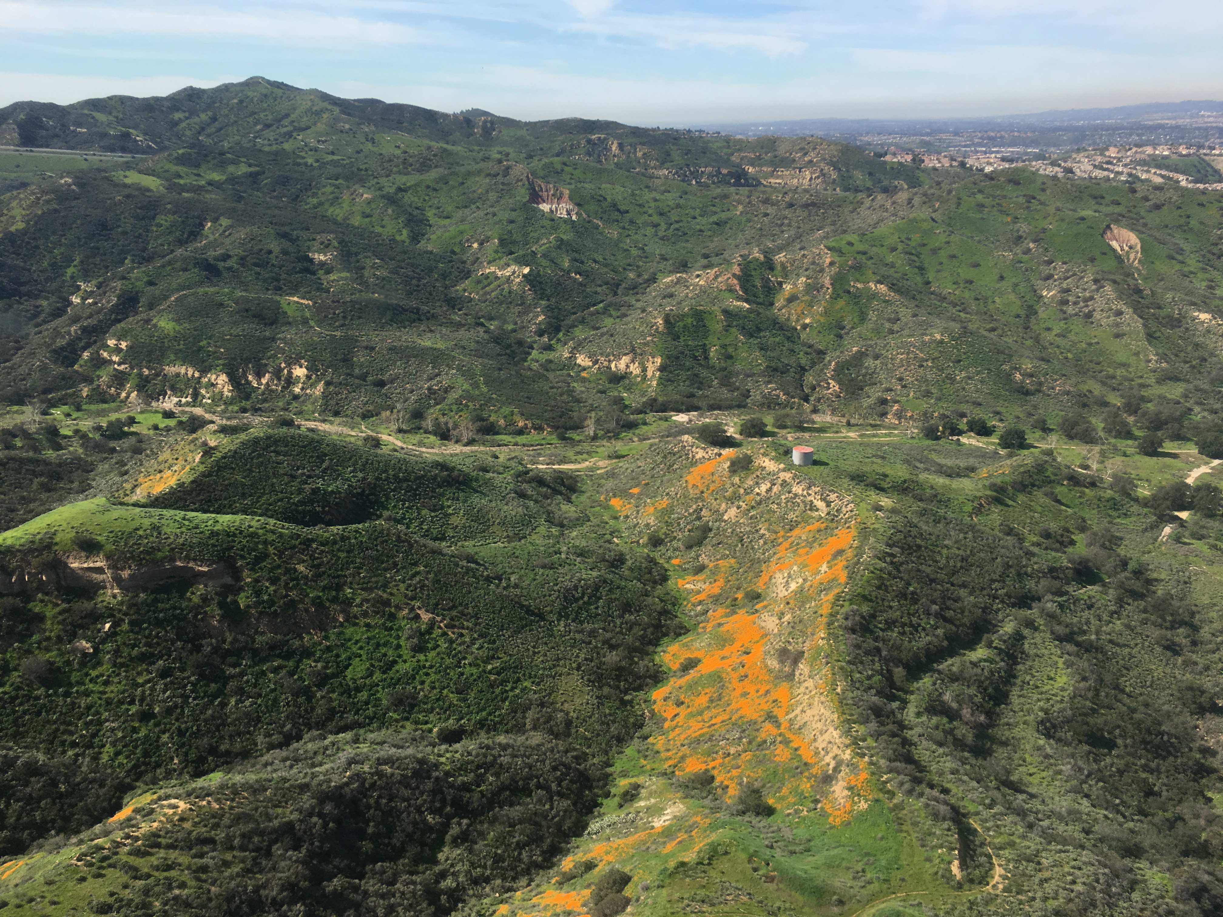
Gypsum Canyon Poppies
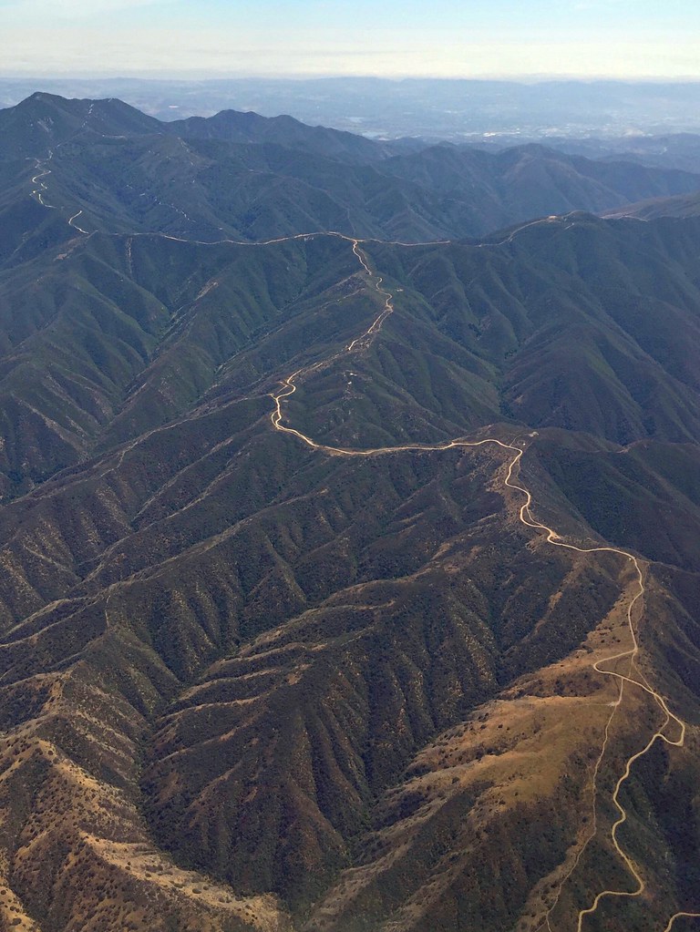
Somewhere near Corona in CA - view from airplane window
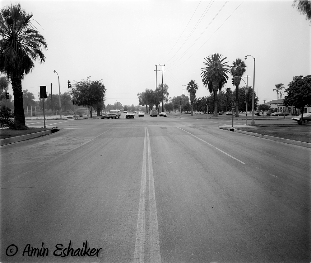
East Grand Avenue at North Main Street, Corona Ca (1973)-01
View from STT
Twilight View
Harding Canyon Spinner
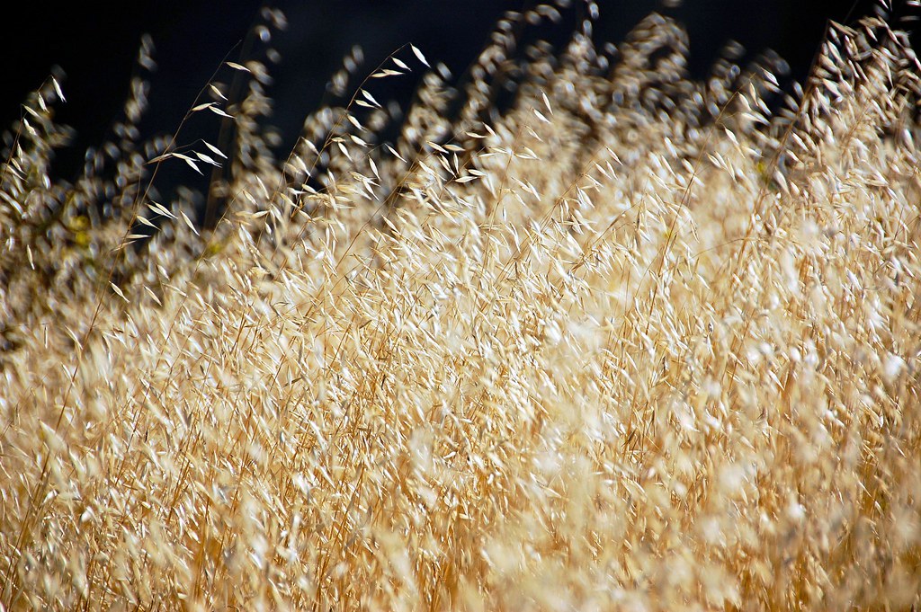
Wild Oats

CA Citrus State Historic Park - Interpretive Path
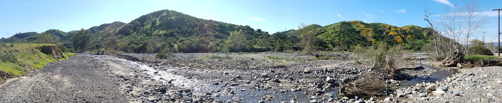
Harding Truck Trail 2/29/2012 #4
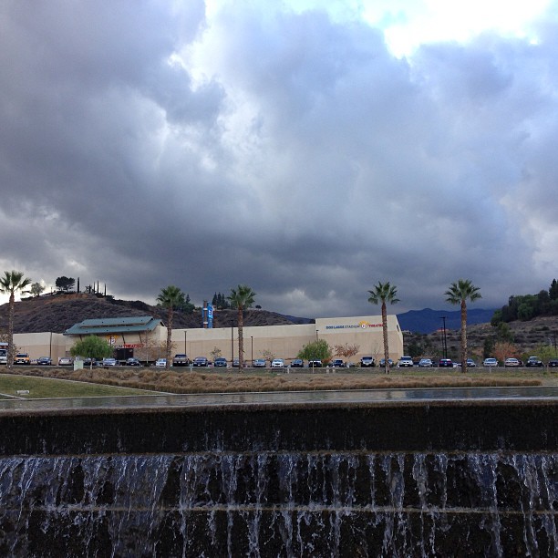
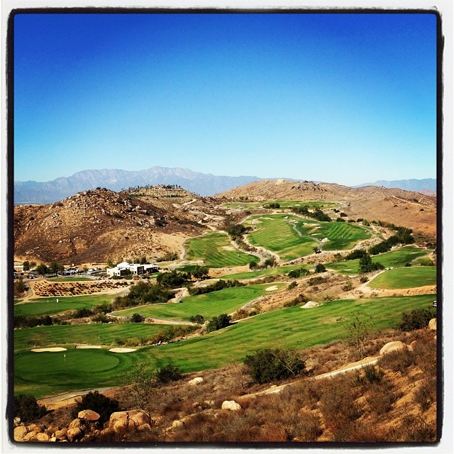
View of the Santa Ana mountain foothills from the Dos Lagos bridge.

Is your baby this cute? Prove it! $50.00, 5 picks, online viewing. #perfectlyedited #perfectlyposed #cutiepatooty
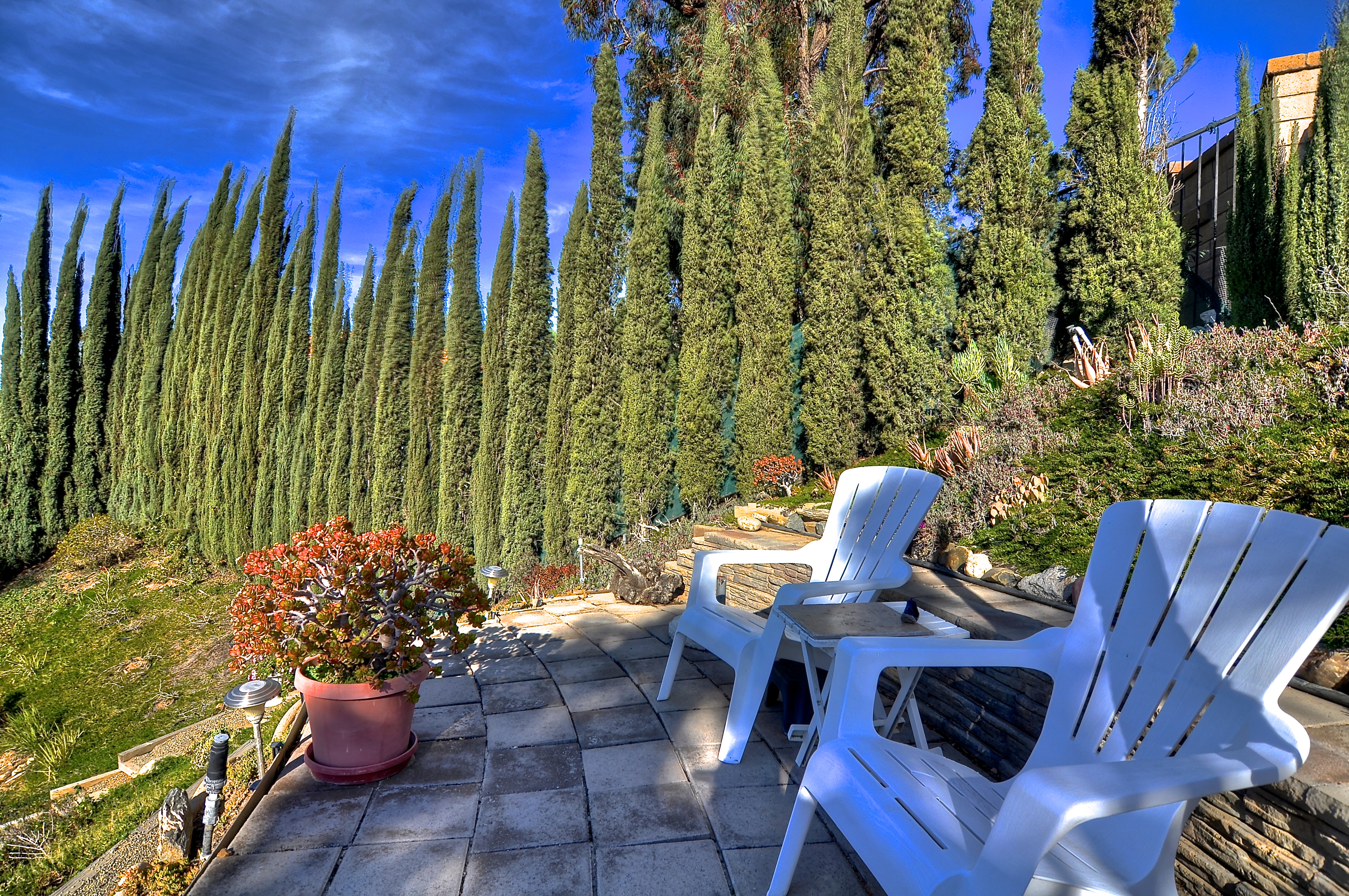
Viewing Terrace
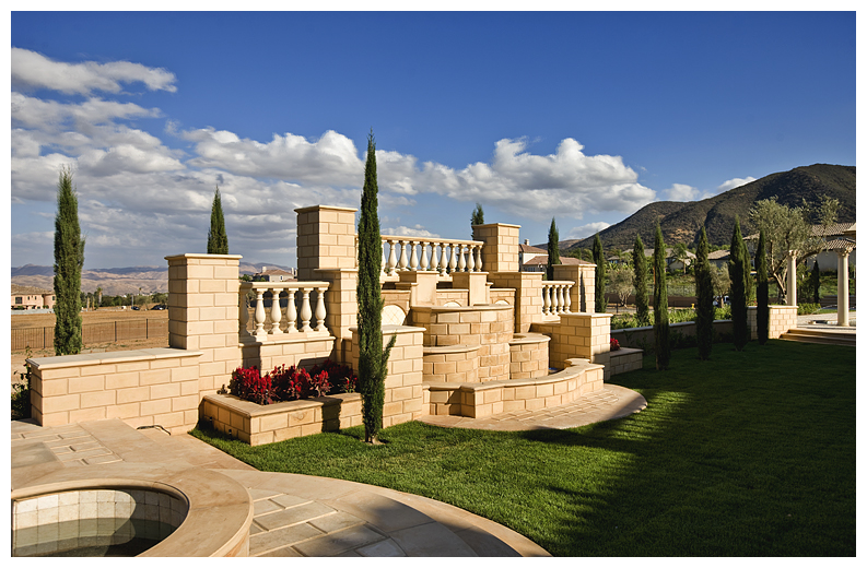
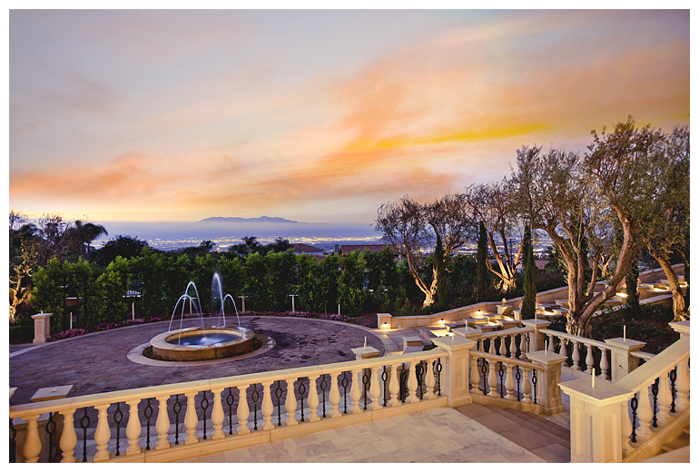
Fountain and Views
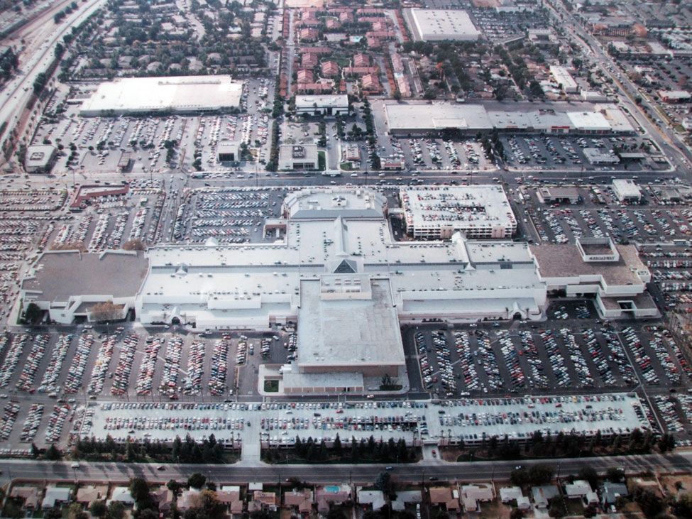
Riverside - Galleria at Tyler
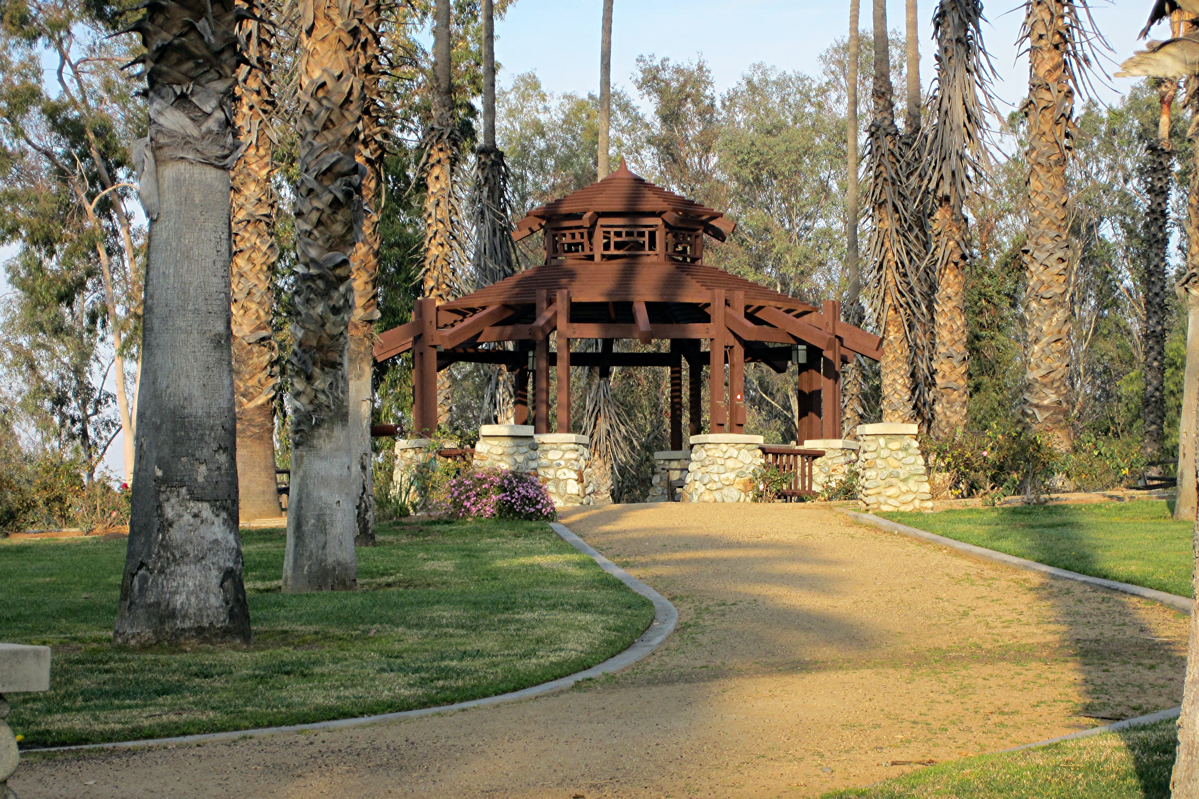
CA Citrus State Historic Park - Gazebo

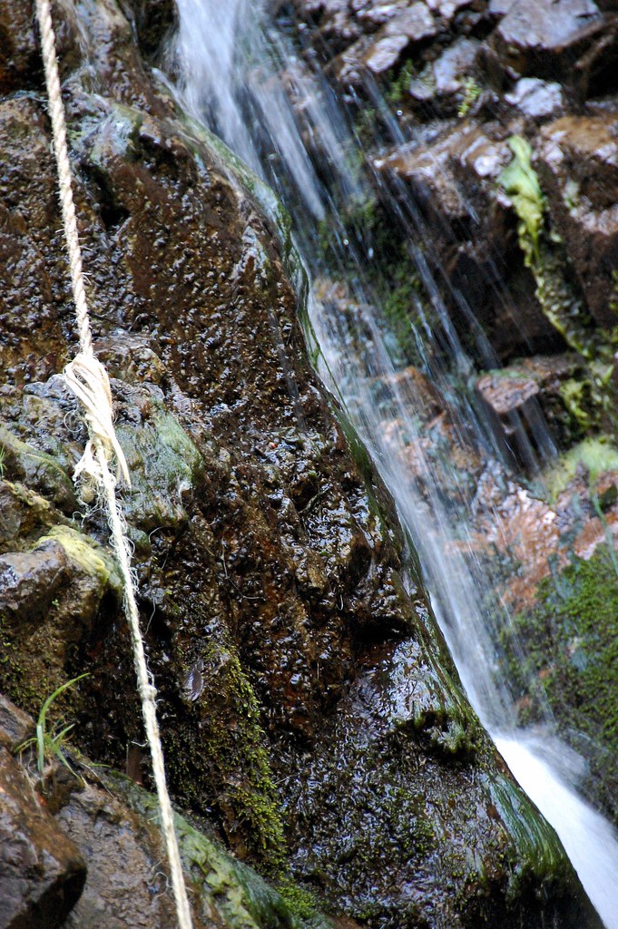
The view from below
Holy Jim Falls
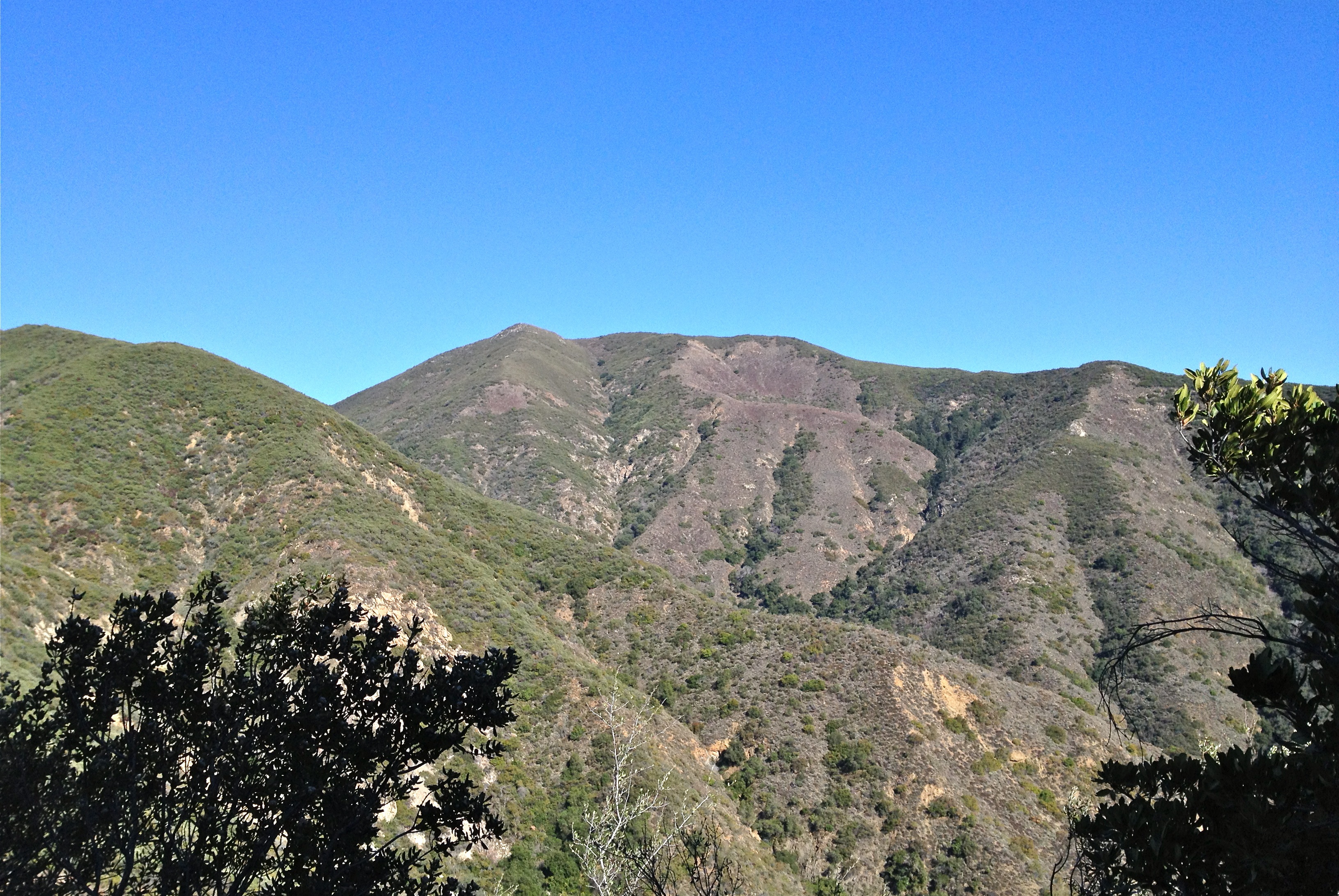
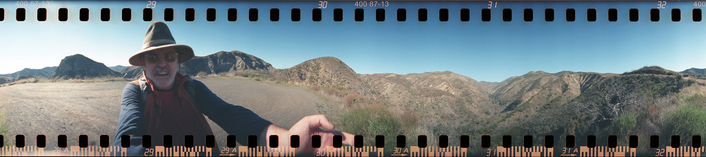
1st View North
Bedford Peak 6/9/13

#new#travel#followme#tourism#instagramers#photolover#tbt#lol#nature#vivid#color#blue#sky#myart#egypt#redSea#tabaheight#justanidea#fun#lol#stillphoto#snapshot#peace#samiaphotography.com#losangeles#california#usa

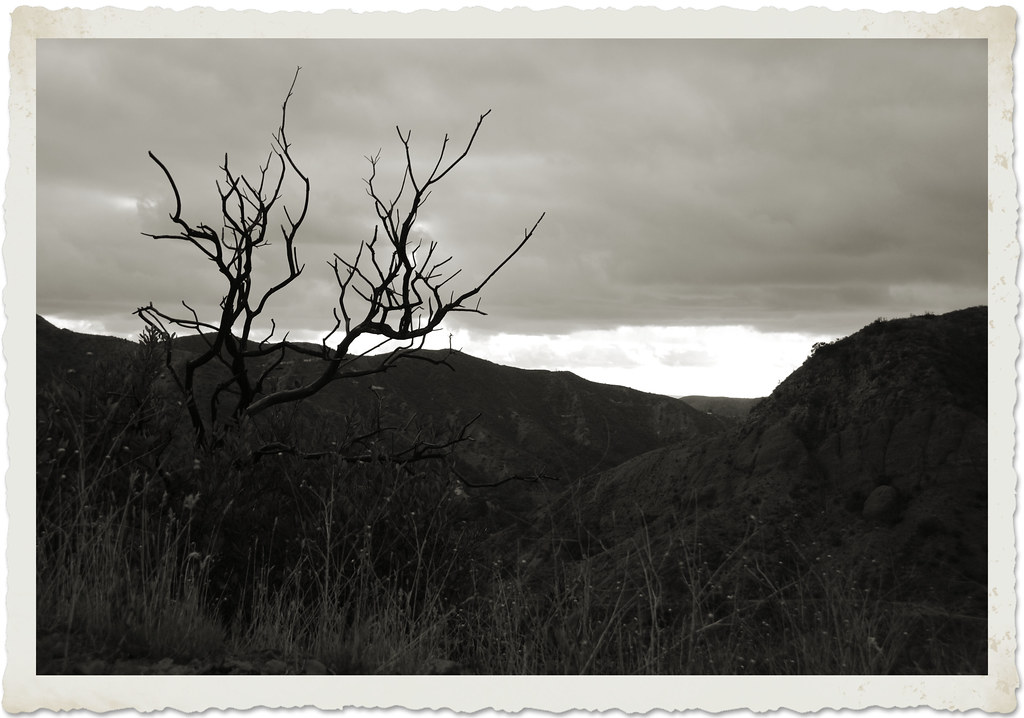
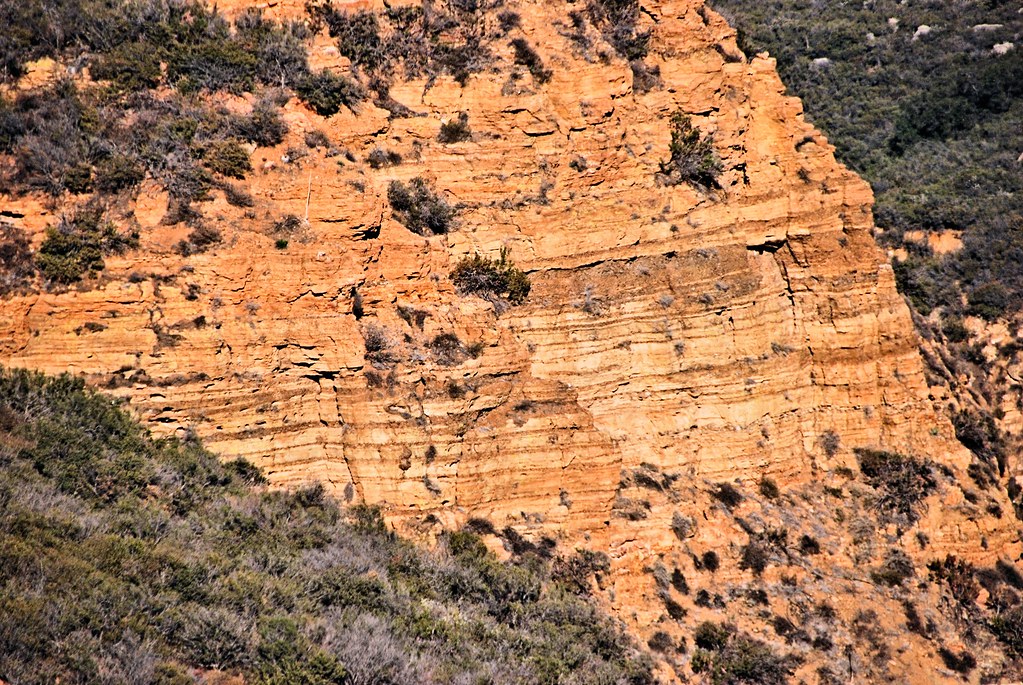
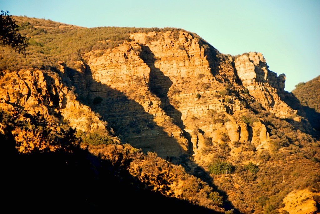
Red Rock and the First Hint of Chaparral
Canyon Brushwork

The Glow of the Pacific
Toll road landscape

Laguna Beach Cresent Bay
#new#landscape#nature#SantaAna#River#instamood#tbt#lol#sky#blue#parks#outdoors#summer#heat#Anaheim#CA#USA
#new#landscape#nature#SantaAnaRiver#instalove#lol#tbt#blue#sky#parks#outdoors#summer#heat#Anaheim#justanidea#express#yourself#CA#USA

Early Moon over Chaparral 2-14-2011
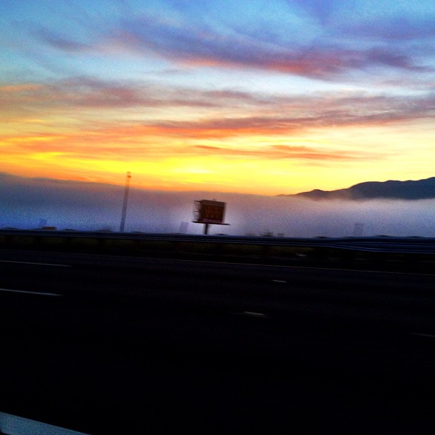
Above the fog below the clouds. #fog #sunrise #clouds #sky #dawn #thetollroads
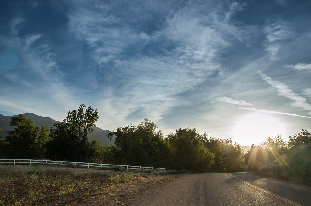
The Road
Black Star Canyon
Santiago Canyon
Always enjoy playing here.

#new#greatfall#changingleaves#vivid#color#instaphoto#tbt#lol#fun#peace#nature#justanidea#coloroflight#expressyourself#nationalpark#anaheim#ca
Black Star Canyon

Black Star Canyon 43

The clouds were pink. I used an iPod touch to take the pictures.
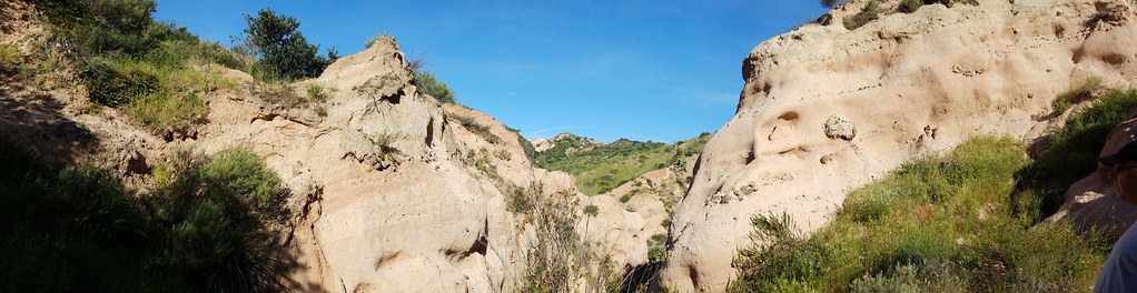
Slot Canyon
Mariposa Preserve (color)
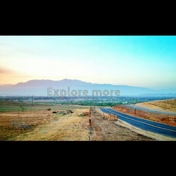
Happy Friday everyone! #exploremore #nature #hiddenvalley #sunset #landscape #photolife
Topographic Map of Wallowa Cir, Corona, CA, USA
Find elevation by address:

Places near Wallowa Cir, Corona, CA, USA:
Royal Summit Circle
4063 Suzie Cir
3540 Birchleaf Dr
3211 S Main St
2964 Bishop Way
132 Pringle Cir
1379 Roadrunner Dr
411 Orange Heights Ln
3348 Redport Dr
674 Gambel Dr
895 Sheppard Crest Dr
559 C L Fleming Cir
3785 Mountain Gate Dr
2550 S Main St
2550 S Main St
1527 Beacon Ridge Way
Quiet Meadow Circle
1676 Via Sevilla St
Winston Way, Corona, CA, USA
304 W Mission Rd
Recent Searches:
- Elevation of Corso Fratelli Cairoli, 35, Macerata MC, Italy
- Elevation of Tallevast Rd, Sarasota, FL, USA
- Elevation of 4th St E, Sonoma, CA, USA
- Elevation of Black Hollow Rd, Pennsdale, PA, USA
- Elevation of Oakland Ave, Williamsport, PA, USA
- Elevation of Pedrógão Grande, Portugal
- Elevation of Klee Dr, Martinsburg, WV, USA
- Elevation of Via Roma, Pieranica CR, Italy
- Elevation of Tavkvetili Mountain, Georgia
- Elevation of Hartfords Bluff Cir, Mt Pleasant, SC, USA