Elevation of T-Mobile, E Ontario Ave Ste, Corona, CA, USA
Location: United States > California > Riverside County > Corona >
Longitude: -117.53834
Latitude: 33.845059
Elevation: 277m / 909feet
Barometric Pressure: 98KPa
Elevation Map:
Satellite Map:
Related Photos:
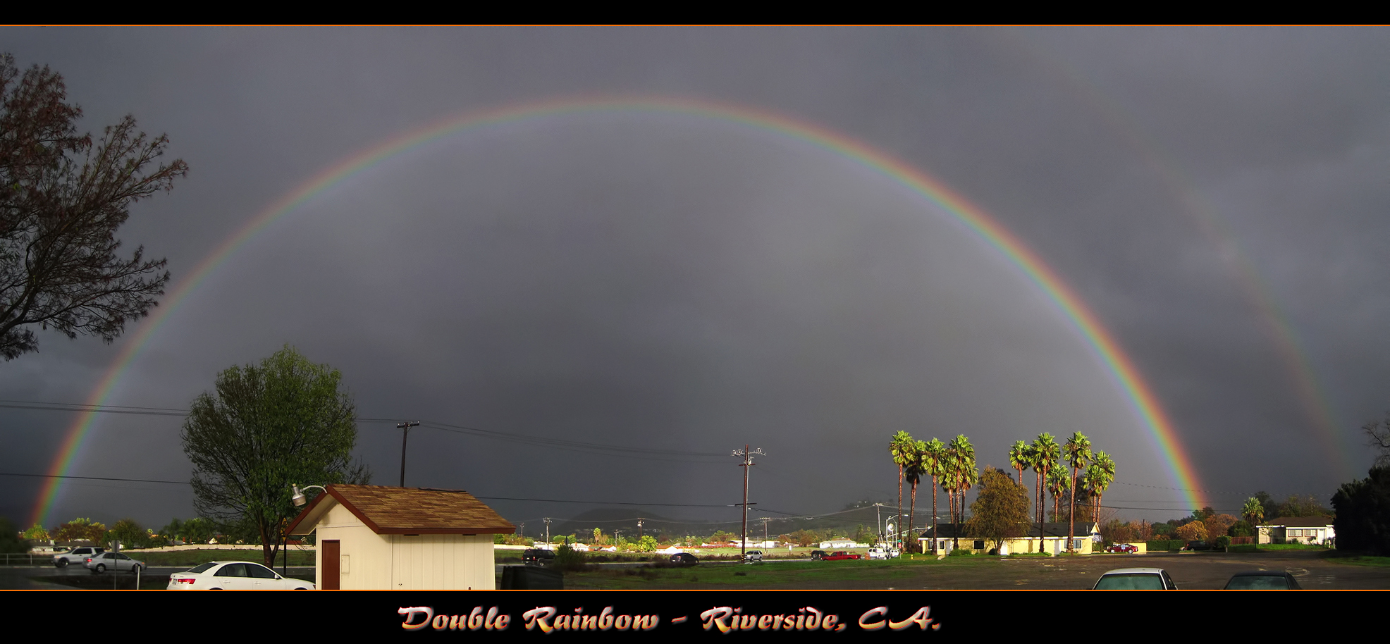
The Double Rainbow in a Storm
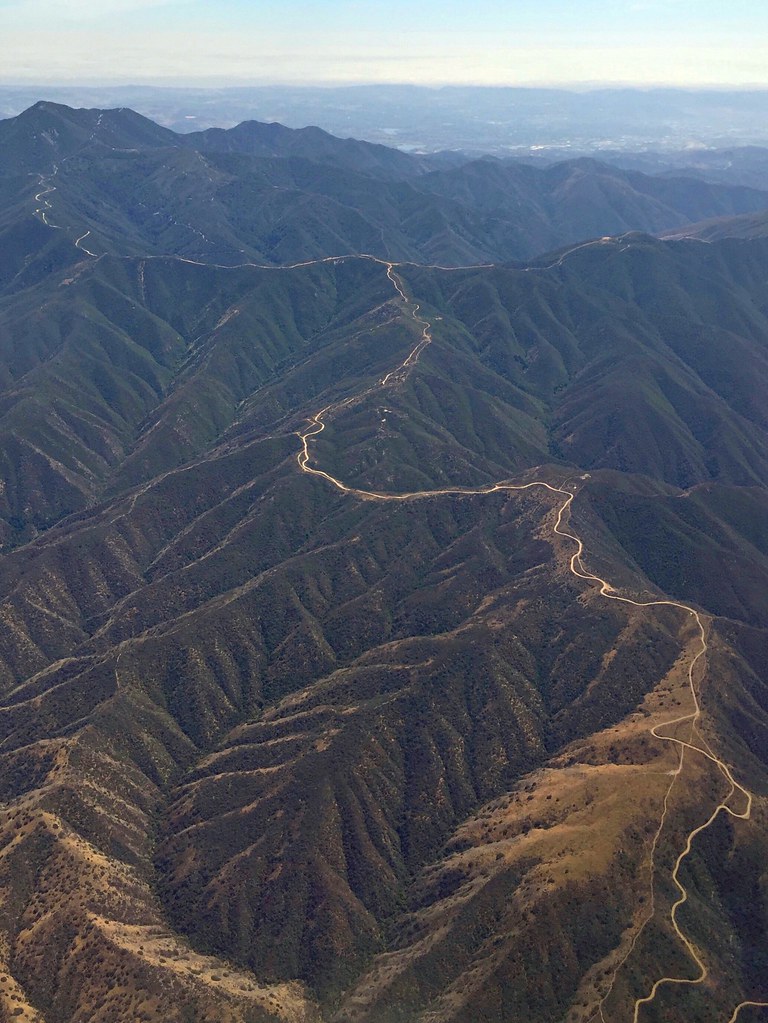
Somewhere near Corona in CA - view from airplane window

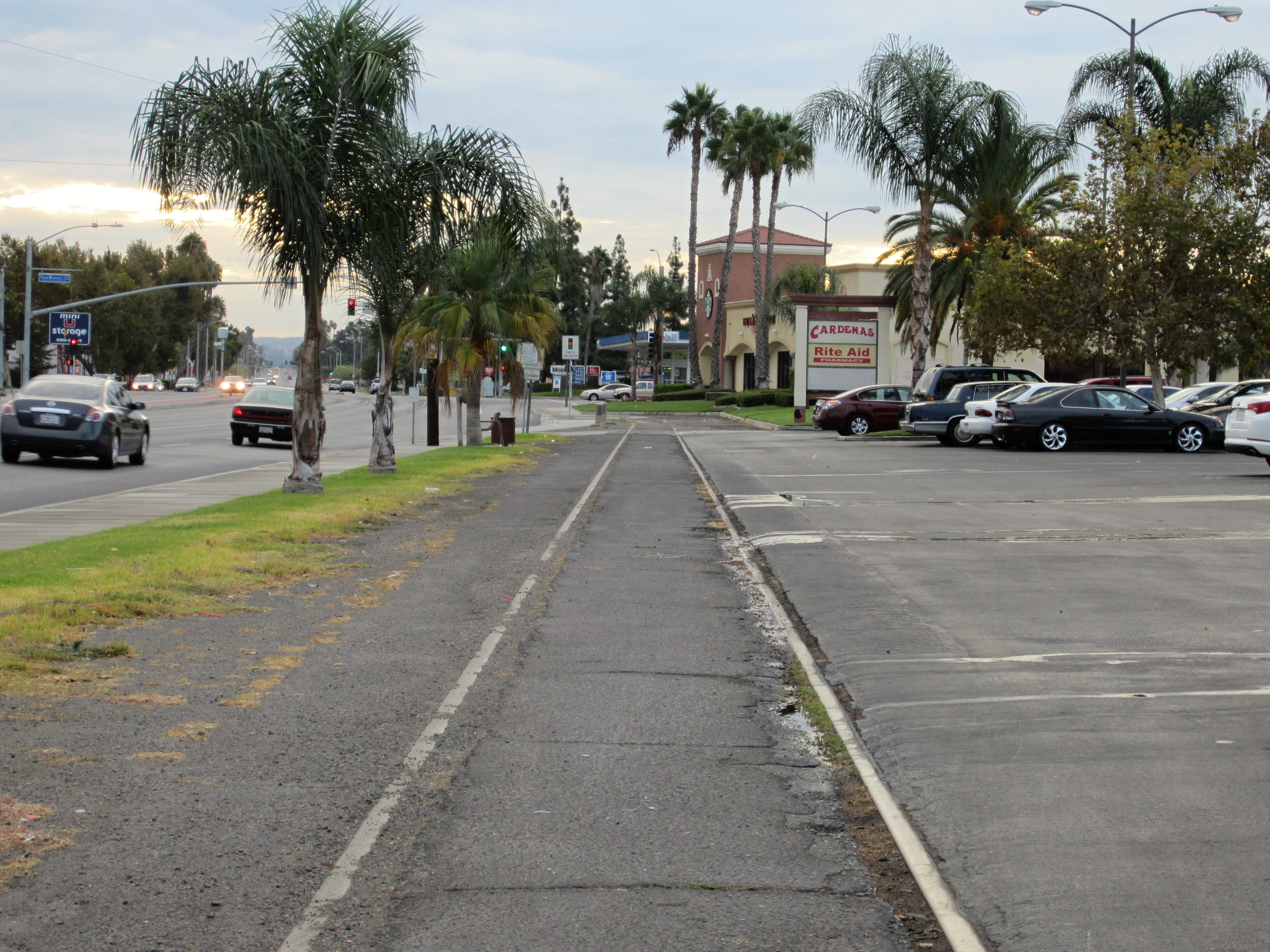
Riverside - 6350 Van Buren Blvd.
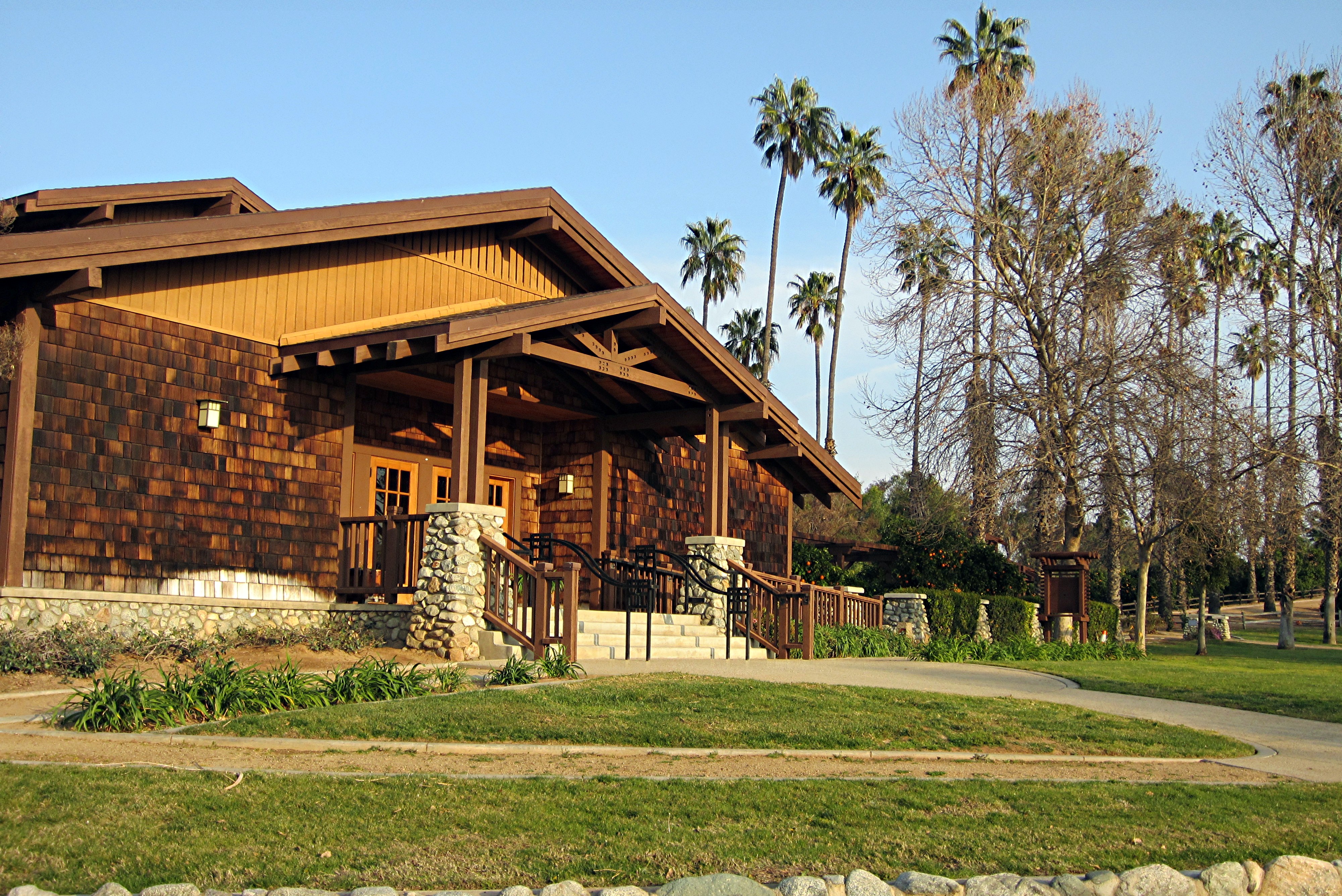
CA Citrus State Historic Park - Sunkist Center
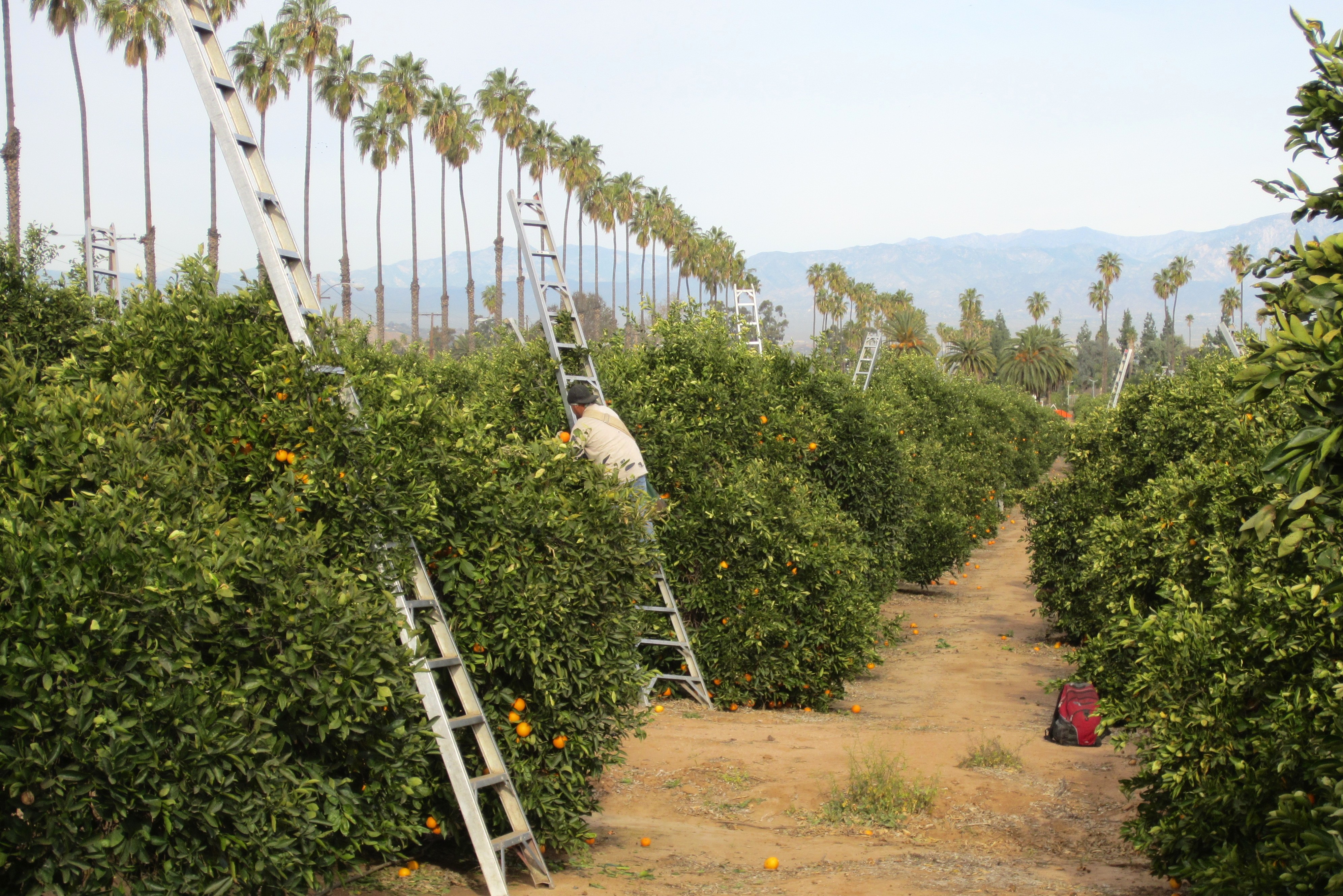
Harvesting Oranges in Riverside #2
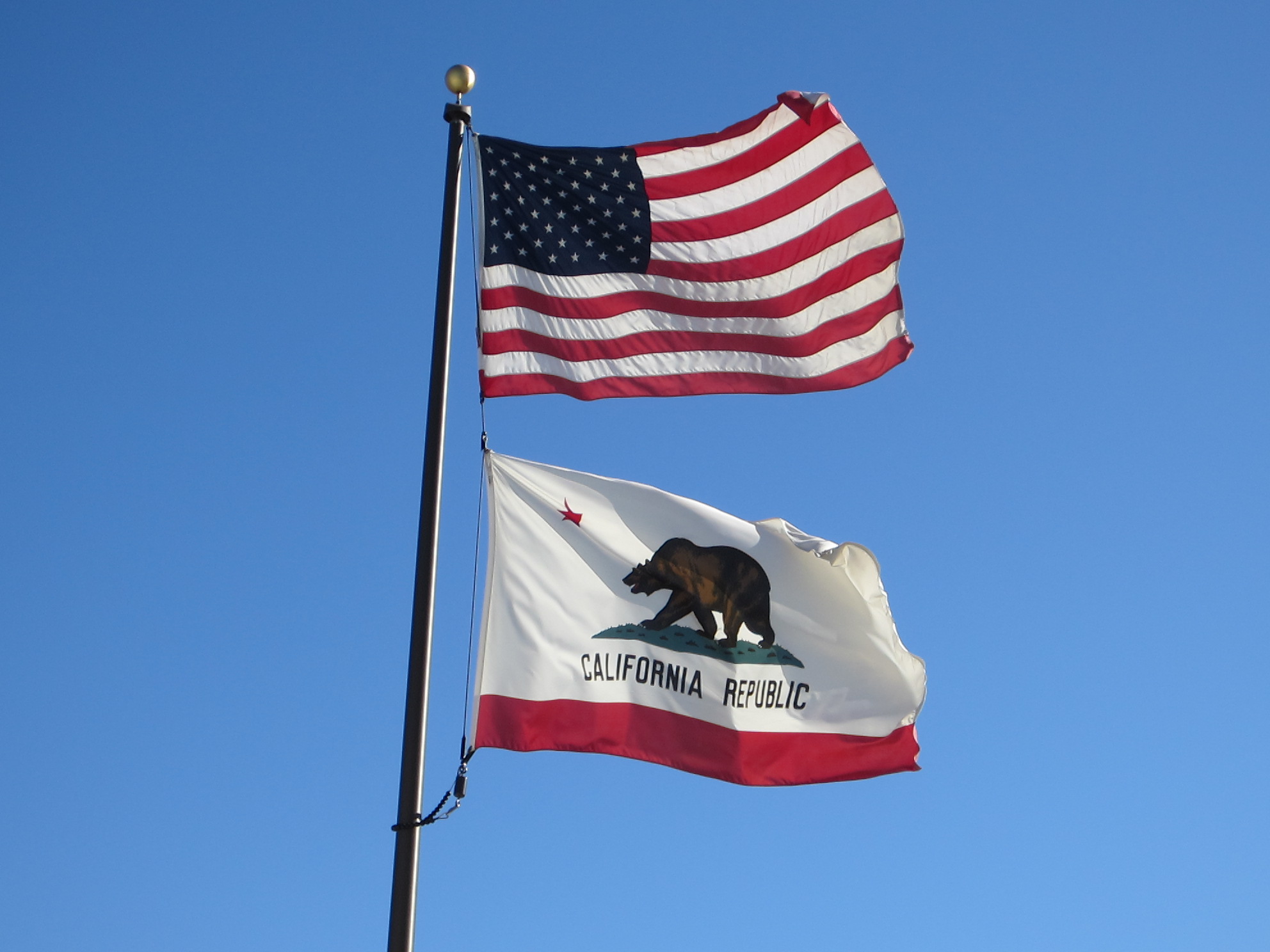
United States Flag & California State Flag
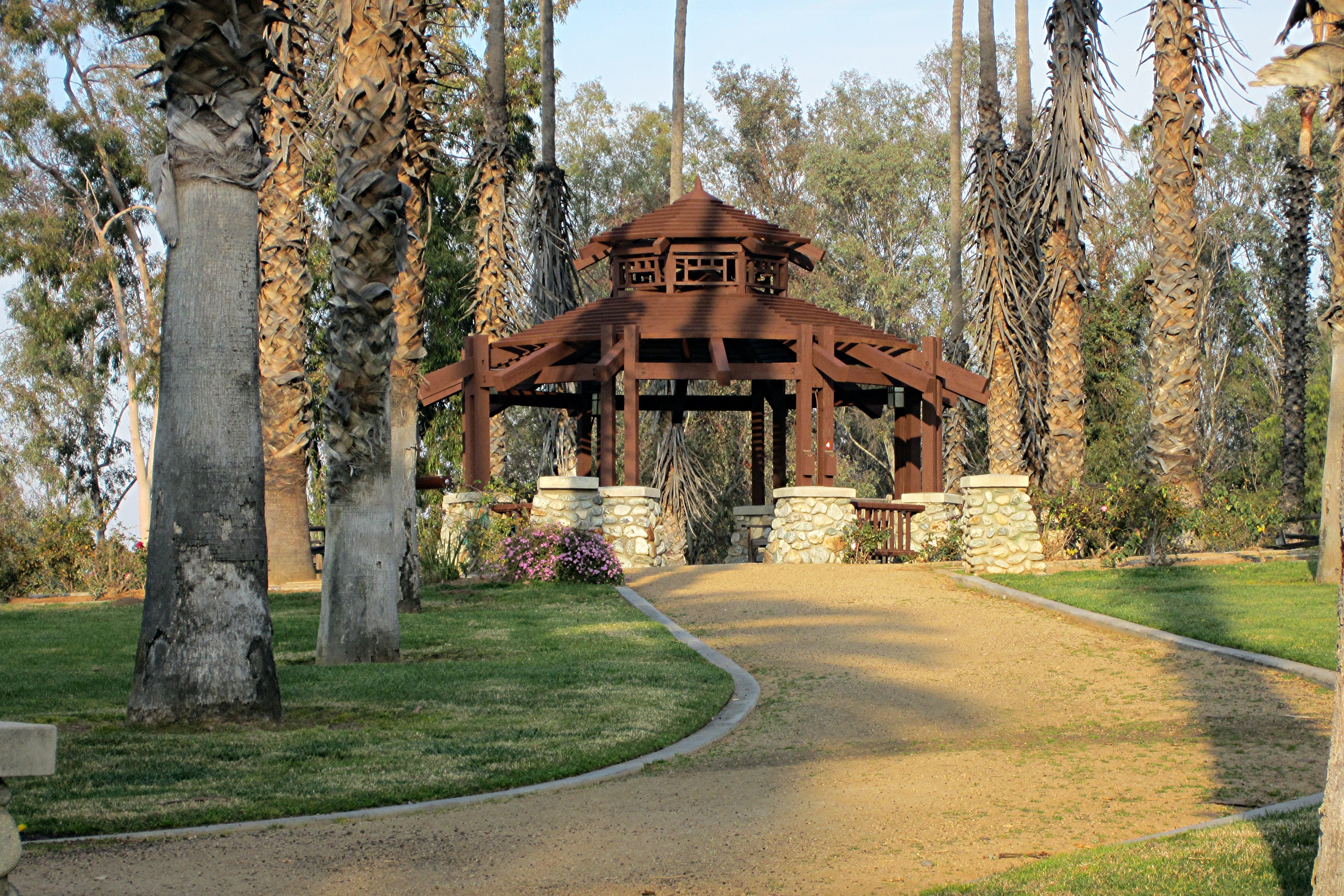
CA Citrus State Historic Park - Gazebo

Morsels for chocolate
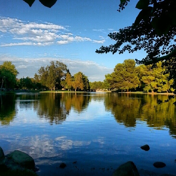
P1010280 pano view
Riverside - 3520 Tyler St.
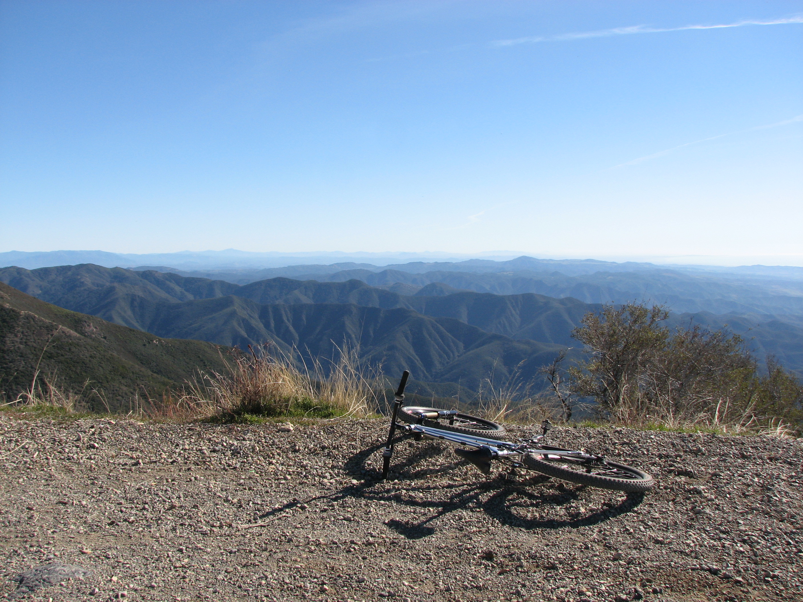
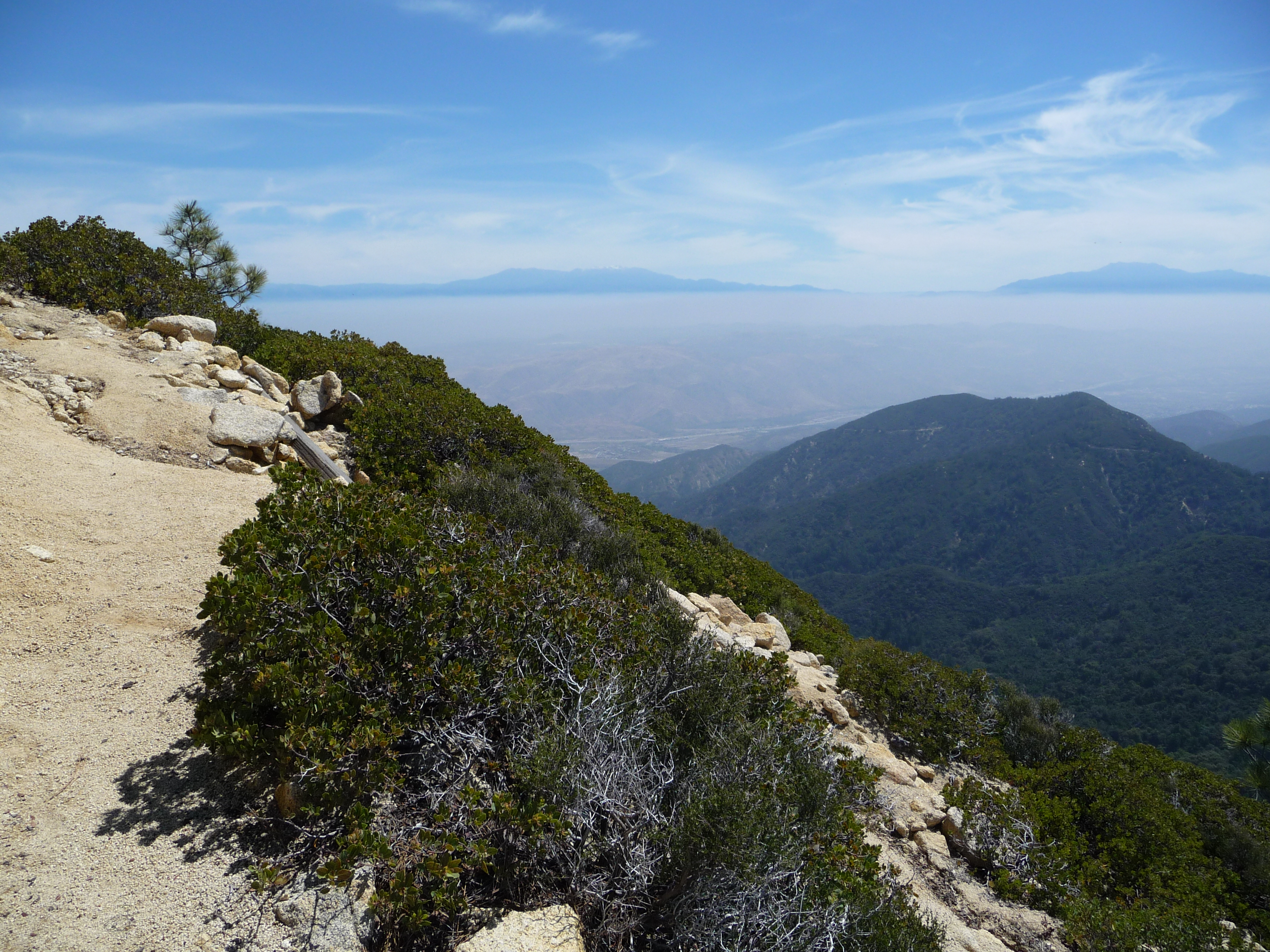
View off Modjeska Peak
Camp Anza Union Pacific Siding
Riverside - 3520 Tyler St.
Riverside - 3520 Tyler St.
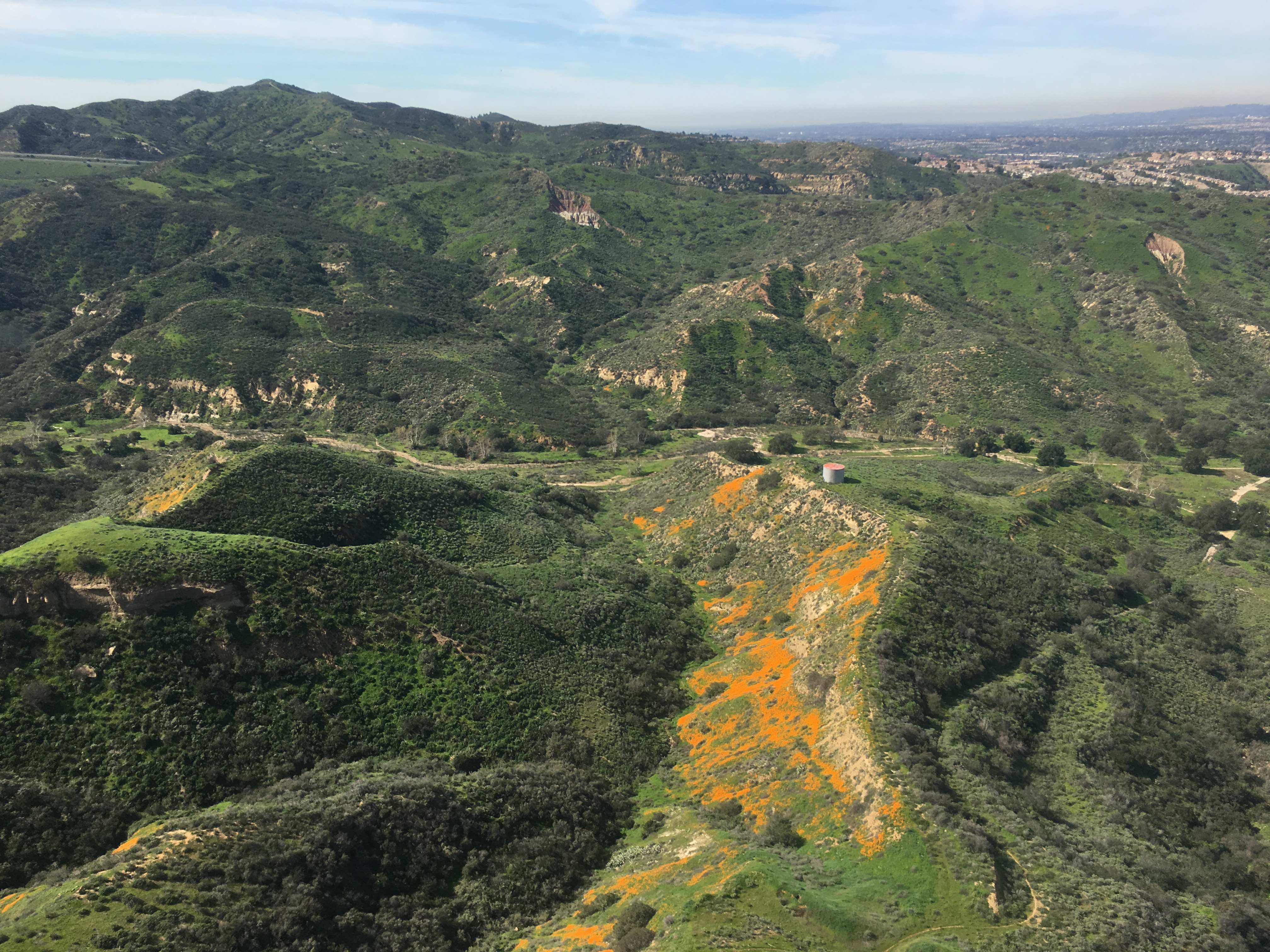
Gypsum Canyon Poppies
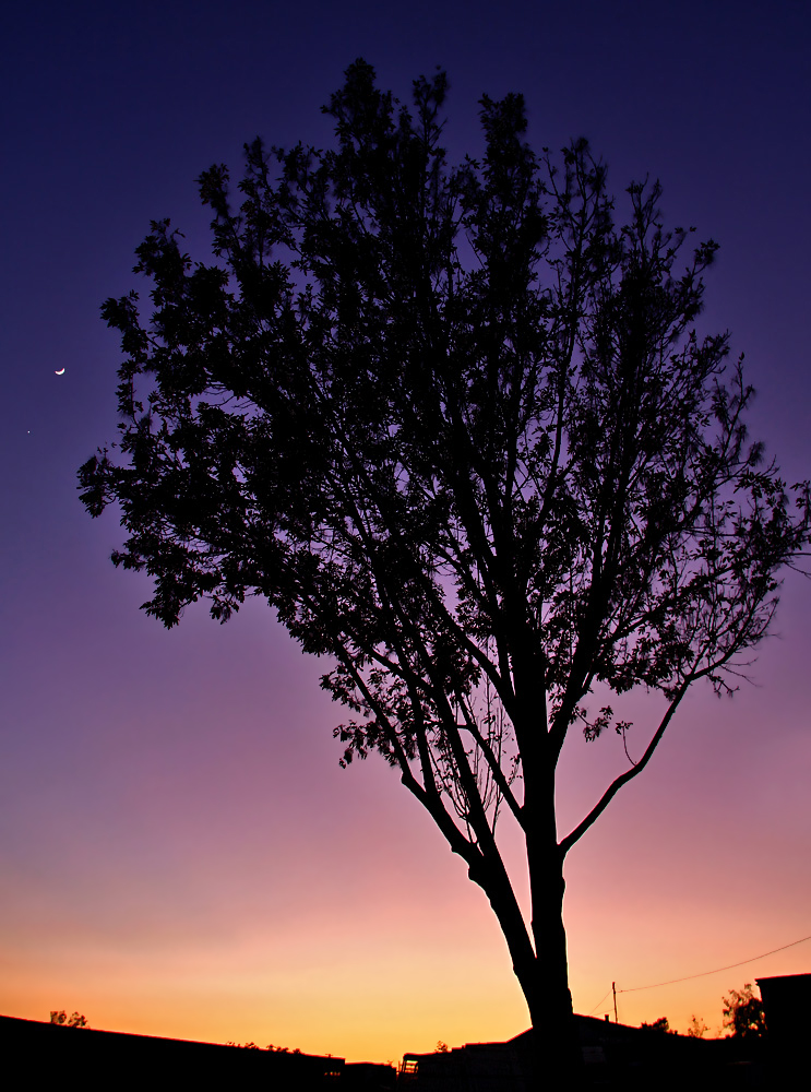
Venus and the Moon at Sunset

Boeing B-17G Flying Fortress

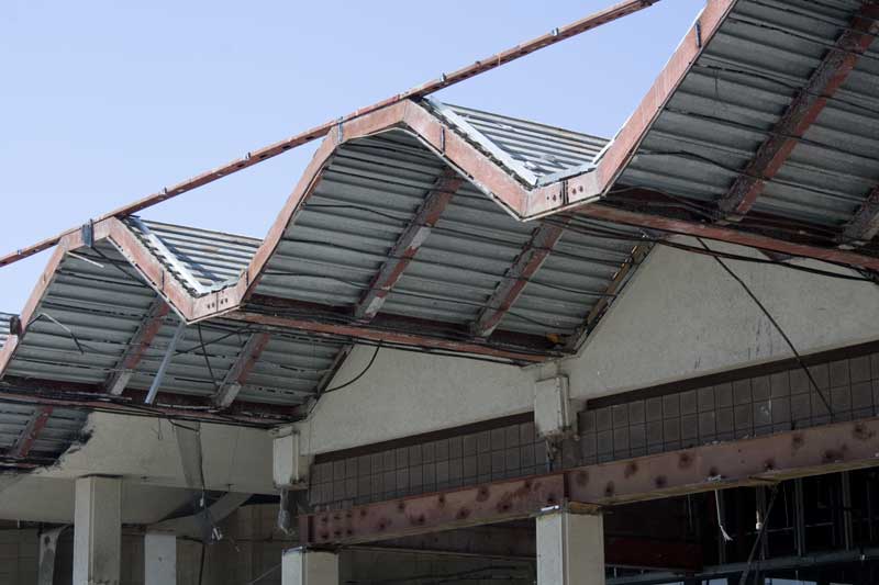
Leaning Centennial

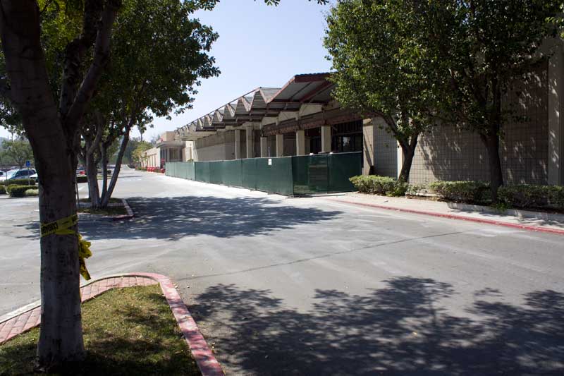
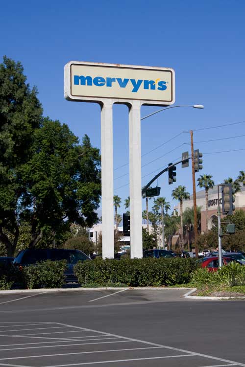
Riverside - Sears
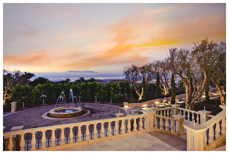
Twilight View
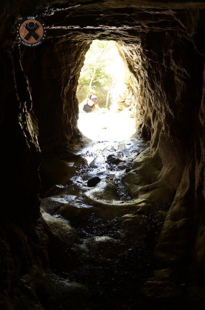
View from the inside of the mine shaft
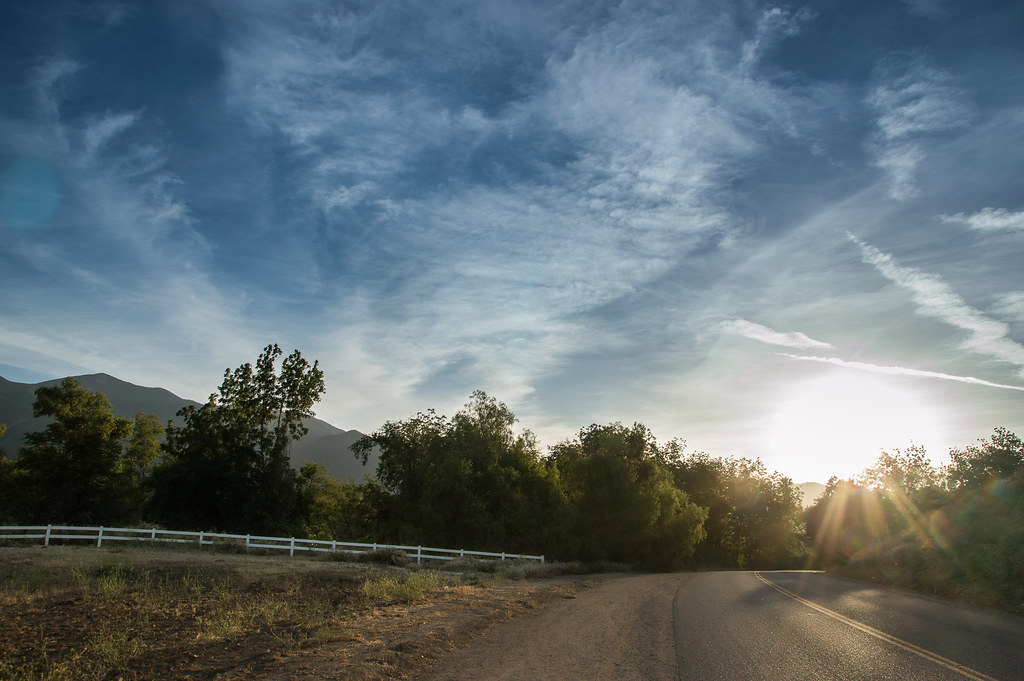
The Road

The clouds were pink. I used an iPod touch to take the pictures.

A Stormy Day In Jurupa Valley II
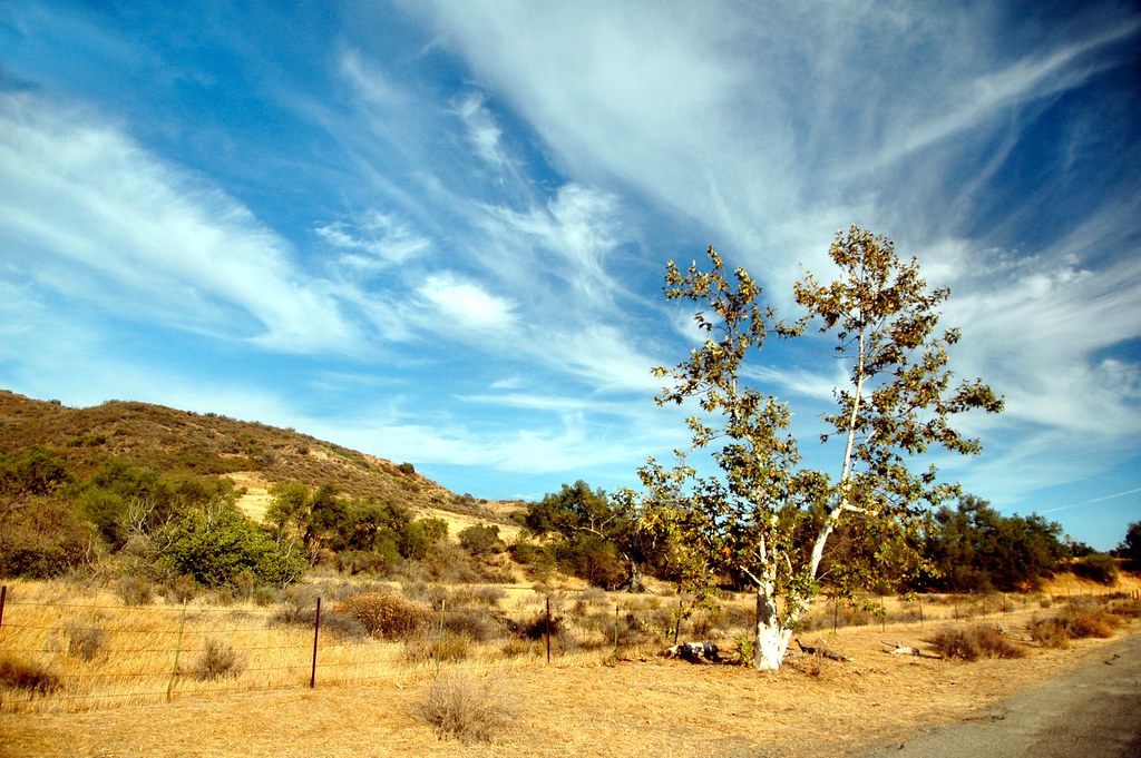
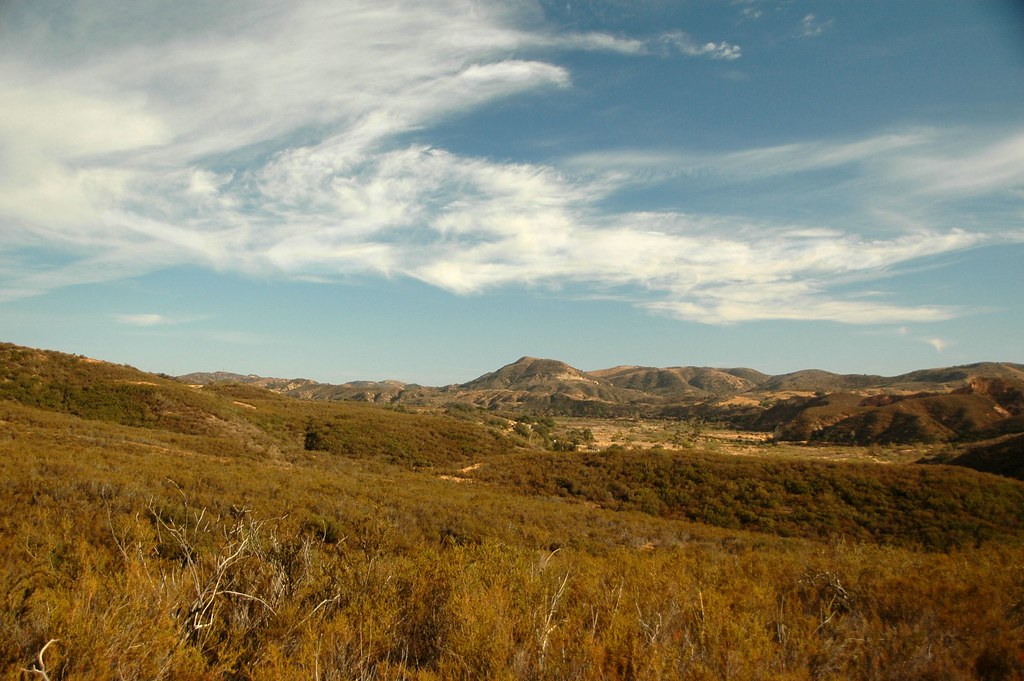
Sycamore Along the Road

#new#travel#followme#tourism#instagramers#photolover#tbt#lol#nature#vivid#color#blue#sky#myart#egypt#redSea#tabaheight#justanidea#fun#lol#stillphoto#snapshot#peace#samiaphotography.com#losangeles#california#usa
#new#landscape#nature#SantaAna#River#instamood#tbt#lol#sky#blue#parks#outdoors#summer#heat#Anaheim#CA#USA
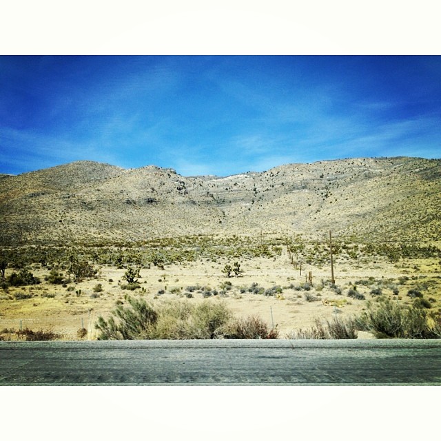
The drive home. Last shot for the day. #Desert #cacti #mountains
#new#landscape#nature#SantaAnaRiver#instalove#lol#tbt#blue#sky#parks#outdoors#summer#heat#Anaheim#justanidea#express#yourself#CA#USA

Mariposa Preserve #2

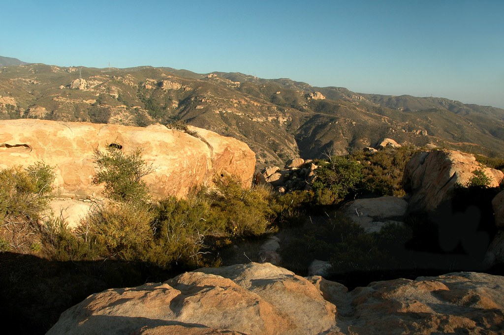
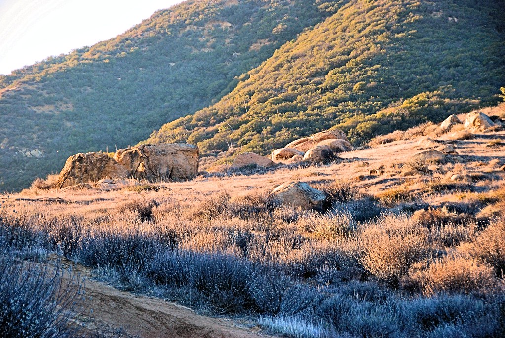
Red Rock and the First Hint of Chaparral
Fremont Canyon

#new#greatfall#changingleaves#vivid#color#instaphoto#tbt#lol#fun#peace#nature#justanidea#coloroflight#expressyourself#nationalpark#anaheim#ca
Santiago Canyon

Black Star Canyon 43

The Glow of the Pacific
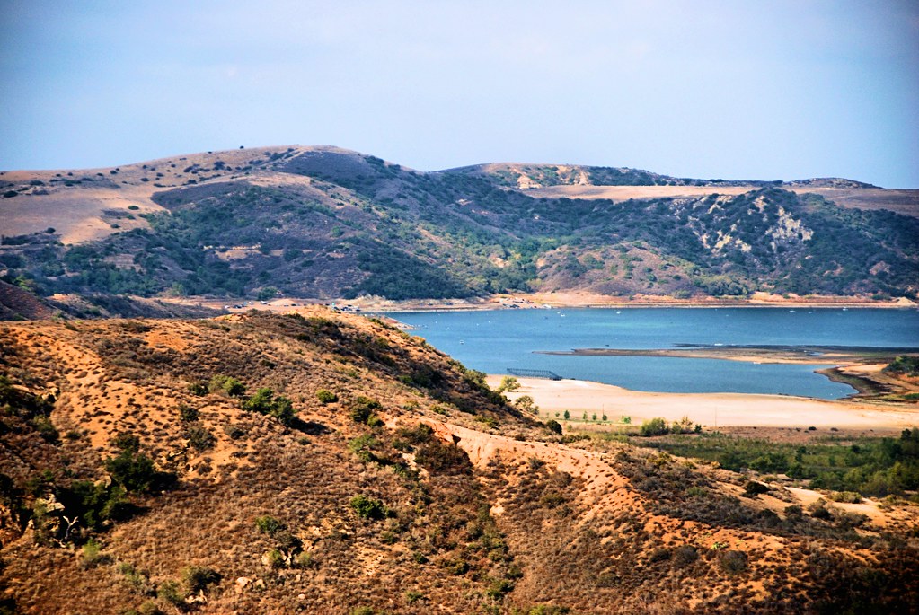
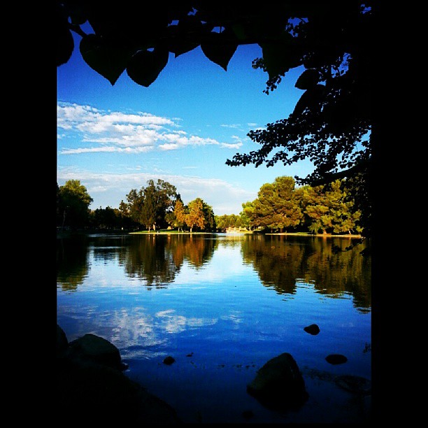
Irvine Lake

The clouds were pink. I used an iPod touch to take the pictures.
Mariposa Preserve (color)
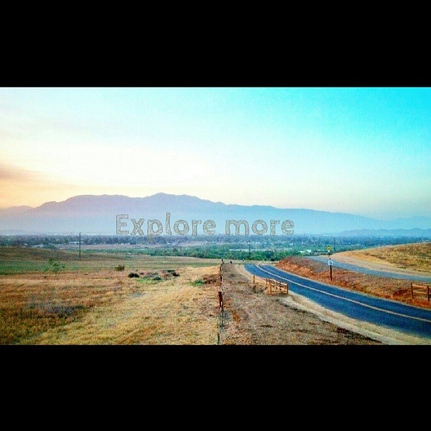
Happy Friday everyone! #exploremore #nature #hiddenvalley #sunset #landscape #photolife
Topographic Map of T-Mobile, E Ontario Ave Ste, Corona, CA, USA
Find elevation by address:

Places near T-Mobile, E Ontario Ave Ste, Corona, CA, USA:
2457 Marigold Way
19030 State St
Quiet Meadow Circle
Winston Way, Corona, CA, USA
1901 Nutwood Cir
3348 Redport Dr
1379 Roadrunner Dr
1763 Hayden Ave
803 Magnolia Ave
Dalia's Pizza
674 Gambel Dr
Bedford Canyon Road
559 C L Fleming Cir
1676 Via Sevilla St
3770 Wallowa Cir
149 Via Trevizio
Eagle Glen Parkway
TRM Cir, Corona, CA, USA
East Bentley Drive
1527 Beacon Ridge Way
Recent Searches:
- Elevation of Corso Fratelli Cairoli, 35, Macerata MC, Italy
- Elevation of Tallevast Rd, Sarasota, FL, USA
- Elevation of 4th St E, Sonoma, CA, USA
- Elevation of Black Hollow Rd, Pennsdale, PA, USA
- Elevation of Oakland Ave, Williamsport, PA, USA
- Elevation of Pedrógão Grande, Portugal
- Elevation of Klee Dr, Martinsburg, WV, USA
- Elevation of Via Roma, Pieranica CR, Italy
- Elevation of Tavkvetili Mountain, Georgia
- Elevation of Hartfords Bluff Cir, Mt Pleasant, SC, USA