Elevation of US-36, Woodrow, CO, USA
Location: United States > Colorado > Washington County > Woodrow >
Longitude: -103.59144
Latitude: 39.7400595
Elevation: 1467m / 4813feet
Barometric Pressure: 85KPa
Elevation Map:
Satellite Map:
Related Photos:

2010-06-11_3310
Last Photo

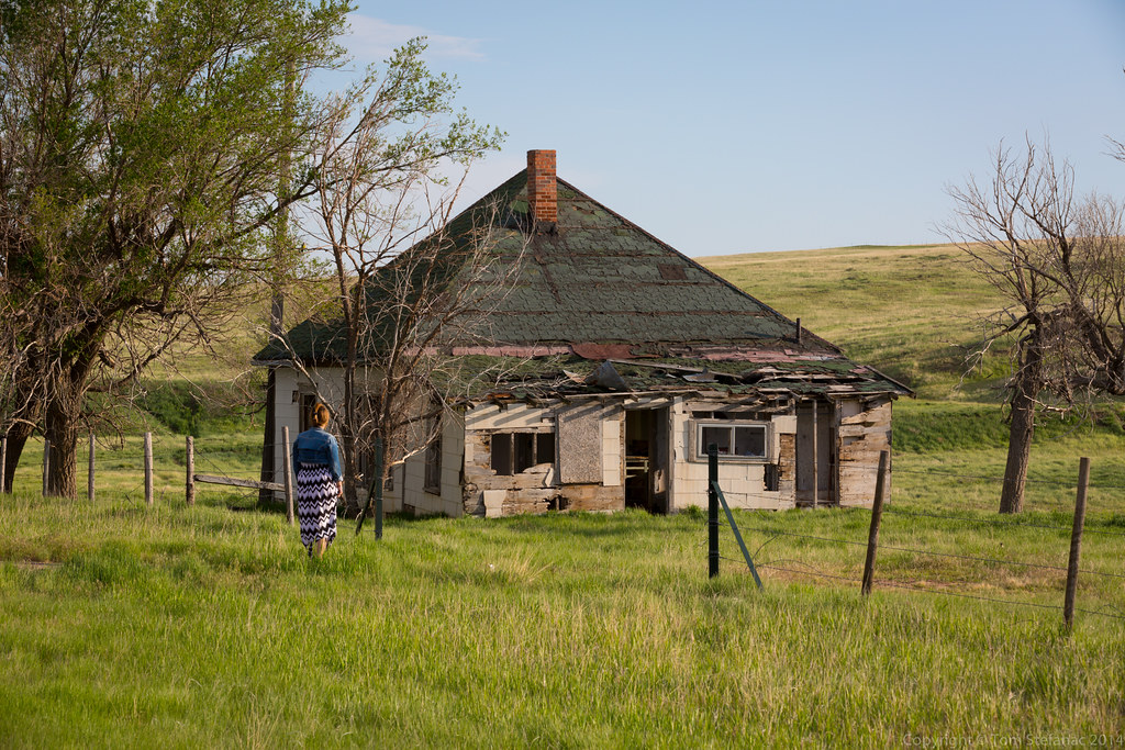
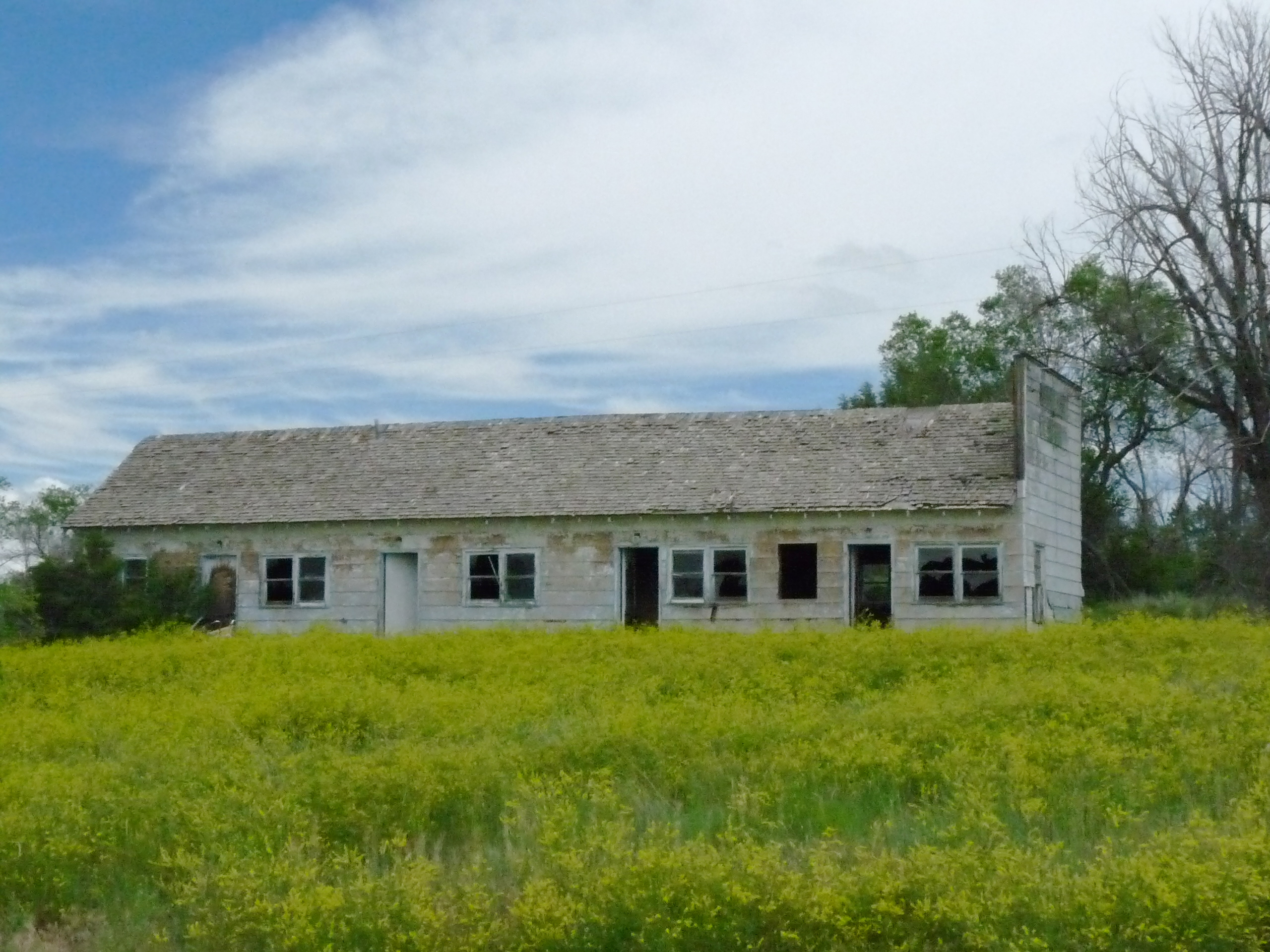
Vacant Homestead
Closer Look
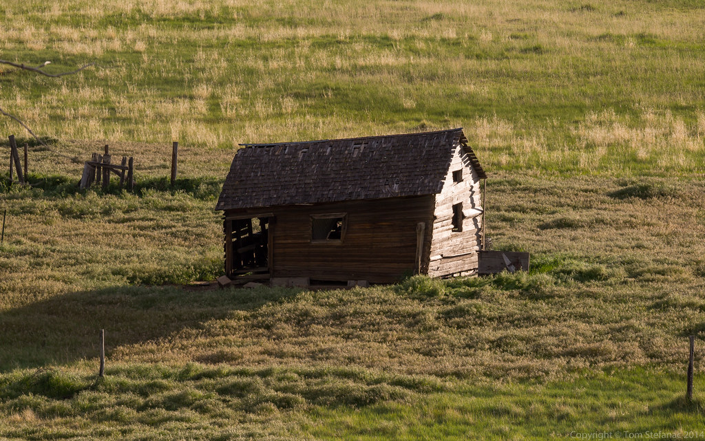
Twisted Outbuilding

2010-06-11_3292

2010-06-11_3298
Attempted Redeveloped

2010-06-11_3317

Thou Art Dust

Sign of the Times

Black-headed Grosbeak - Last Chance, CO (7)
004 Colorado, Last Chance, Derelict Motel

Brown Thrasher

Last Chance

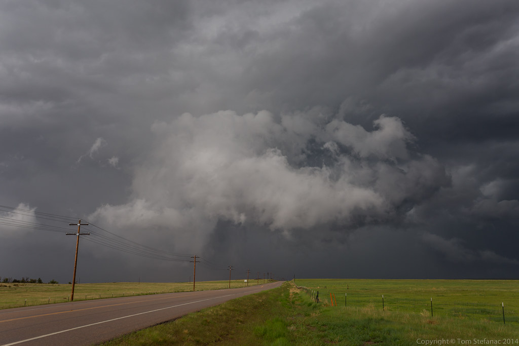
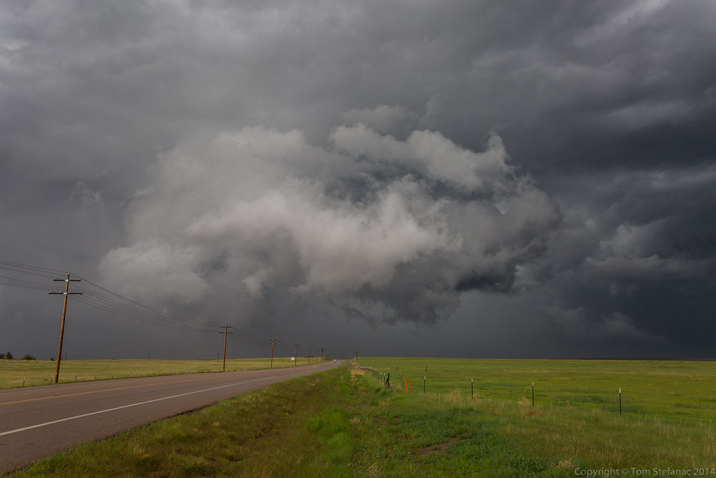
Last Chance Landspout
Topographic Map of US-36, Woodrow, CO, USA
Find elevation by address:

Places near US-36, Woodrow, CO, USA:
Deer Trail, CO, USA
Woodrow
County Rd E, Brush, CO, USA
Co Rd 30, Akron, CO, USA
Co Rd B, Fort Morgan, CO, USA
CO-63, Akron, CO, USA
Agate
1st Ave, Agate, CO, USA
Date St, Deer Trail, CO, USA
Deer Trail
Pinneo
Brush
US-34, Fort Morgan, CO, USA
19377 Co Rd Q
Fort Morgan
431 Meeker St
County Rd 20.5, Fort Morgan, CO, USA
Akron
Lamb
Co Rd 16, Fort Morgan, CO, USA
Recent Searches:
- Elevation of Corso Fratelli Cairoli, 35, Macerata MC, Italy
- Elevation of Tallevast Rd, Sarasota, FL, USA
- Elevation of 4th St E, Sonoma, CA, USA
- Elevation of Black Hollow Rd, Pennsdale, PA, USA
- Elevation of Oakland Ave, Williamsport, PA, USA
- Elevation of Pedrógão Grande, Portugal
- Elevation of Klee Dr, Martinsburg, WV, USA
- Elevation of Via Roma, Pieranica CR, Italy
- Elevation of Tavkvetili Mountain, Georgia
- Elevation of Hartfords Bluff Cir, Mt Pleasant, SC, USA