Elevation of Lamb, CO, USA

Location: United States > Colorado > Morgan County >

Longitude: -103.84772

Latitude: 40.2449804

Elevation: 1329m / 4360feet

Barometric Pressure: 86KPa

Elevation Map:

elevation map of Lamb, CO, USA

Satellite Map:

Satellite map of Lamb, CO, USA

Related Photos:

pet trek store google colorado co hdr streetview panamerican fortmorgan photomatix ftmorgan gsv petsarepeopletoo googlestreetview
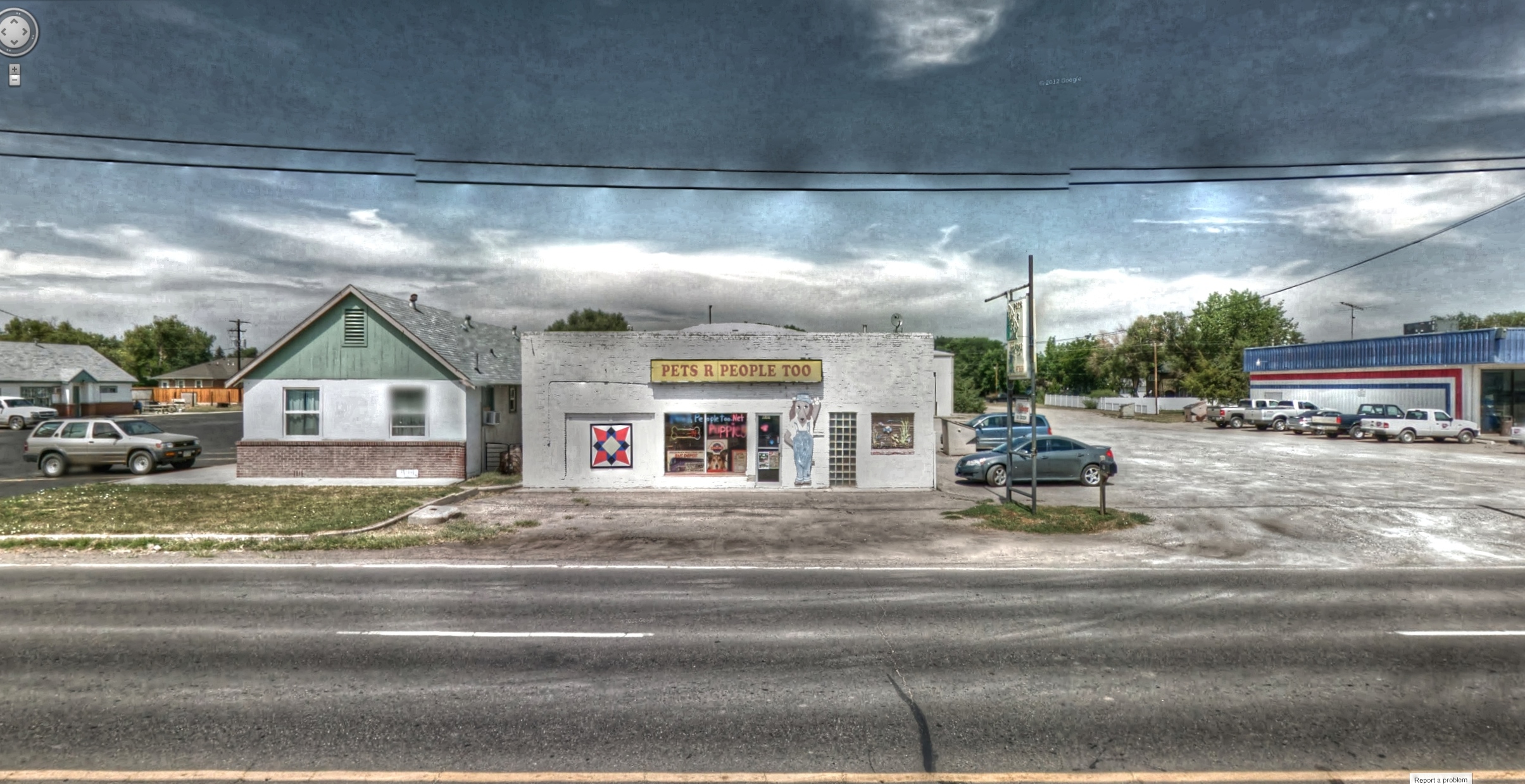
Google Street View - Pan-American Trek - Pets are People Too
building trek google colorado theater downtown theatre cover co paranormal hdr smalltown movietheater streetview panamerican stapleton fortmorgan photomatix ftmorgan gsv googlestreetview expendables2 bournelegacy
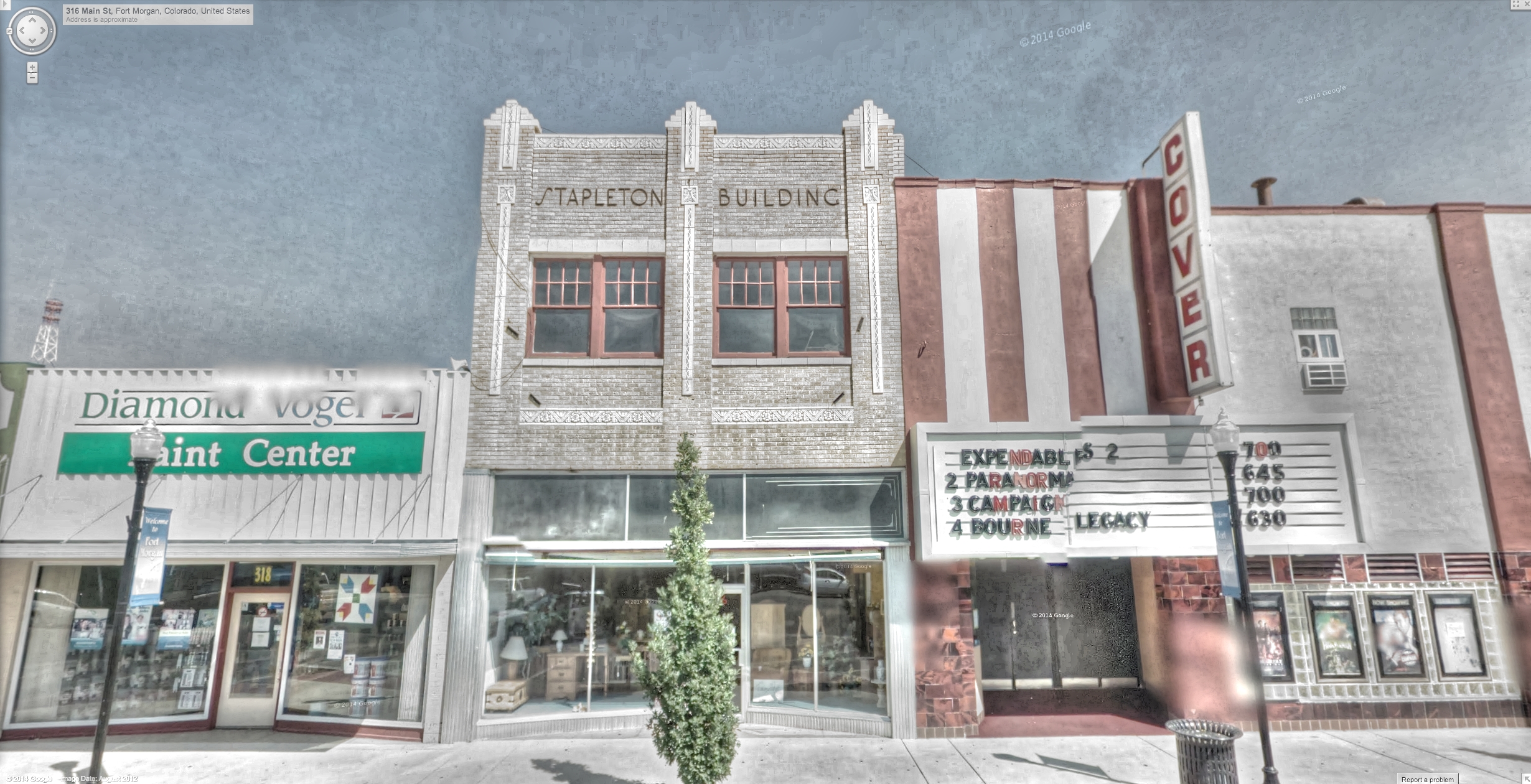
Google Street View - Pan-American Trek - Cover movie theater
tattoo trek hair google colorado piercing nails massage co salon parlor tanning hdr styling streetview panamerican fortmorgan photomatix ftmorgan gsv googlestreetview inkdcut
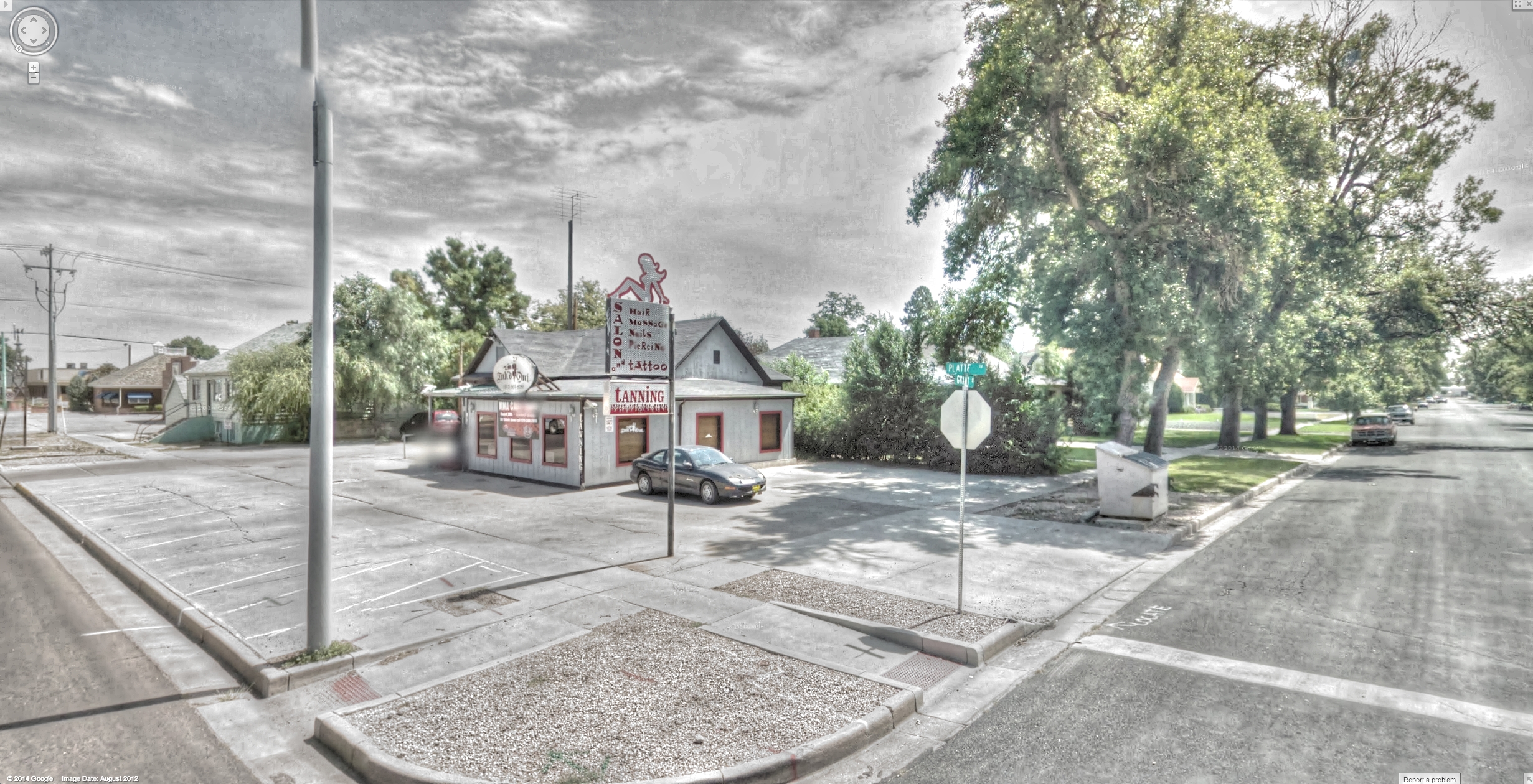
Google Street View - Pan-American Trek - Inkd and cut
trek google colorado steel shed co hdr streetview panamerican fortmorgan photomatix ftmorgan gsv googlestreetview
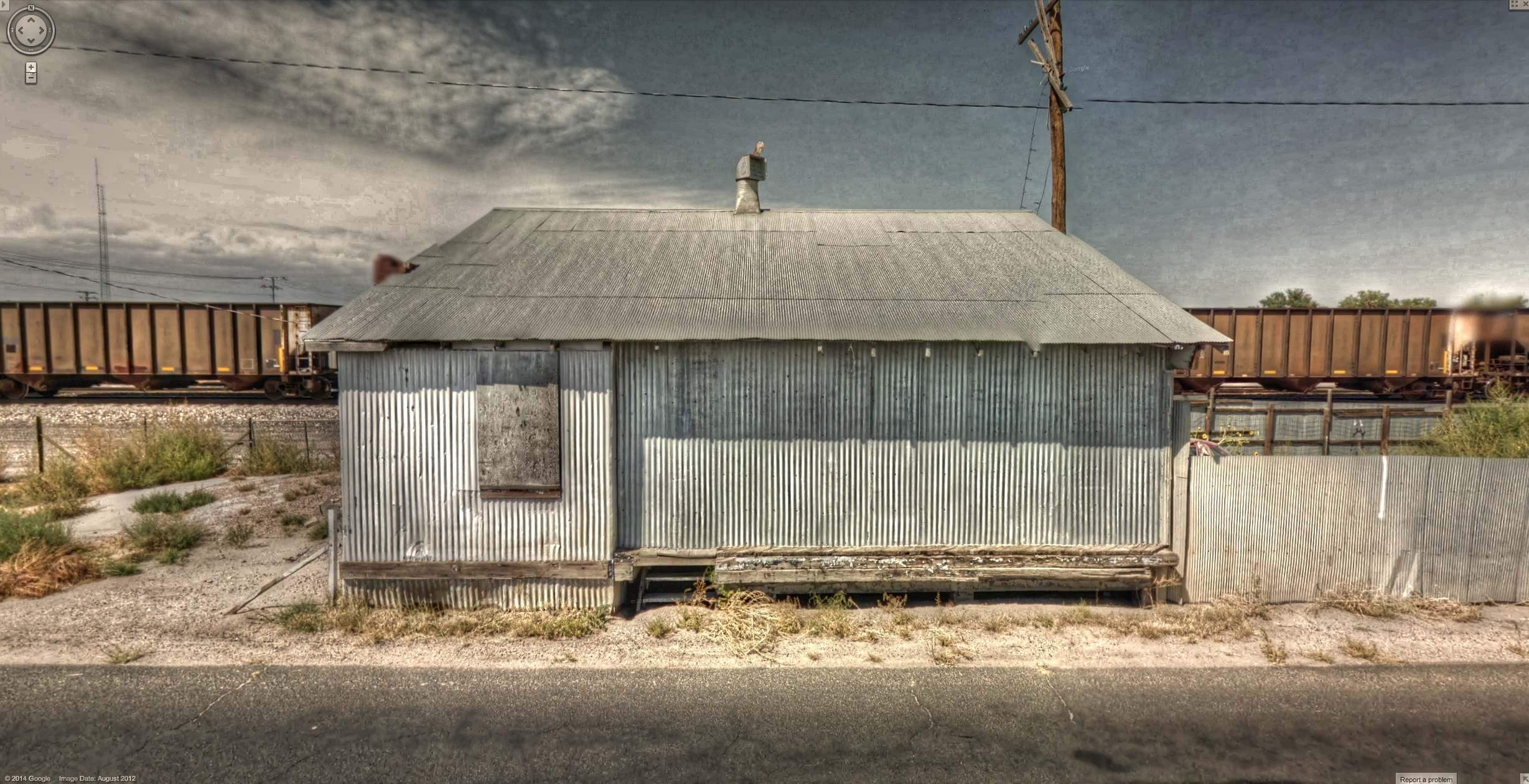
Google Street View - Pan-American Trek - Steel shed in Fort Morgan
trek google colorado downtown commercial co hdr smalltown streetview printers panamerican fortmorgan photomatix ftmorgan gsv googlestreetview
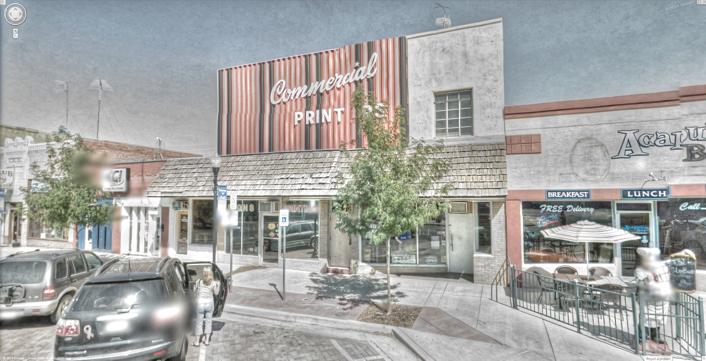
Google Street View - Pan-American Trek - Commercial Printers
industry trek google colorado welding business co cyclone hdr streetview panamerican fortmorgan photomatix ftmorgan gsv googlestreetview
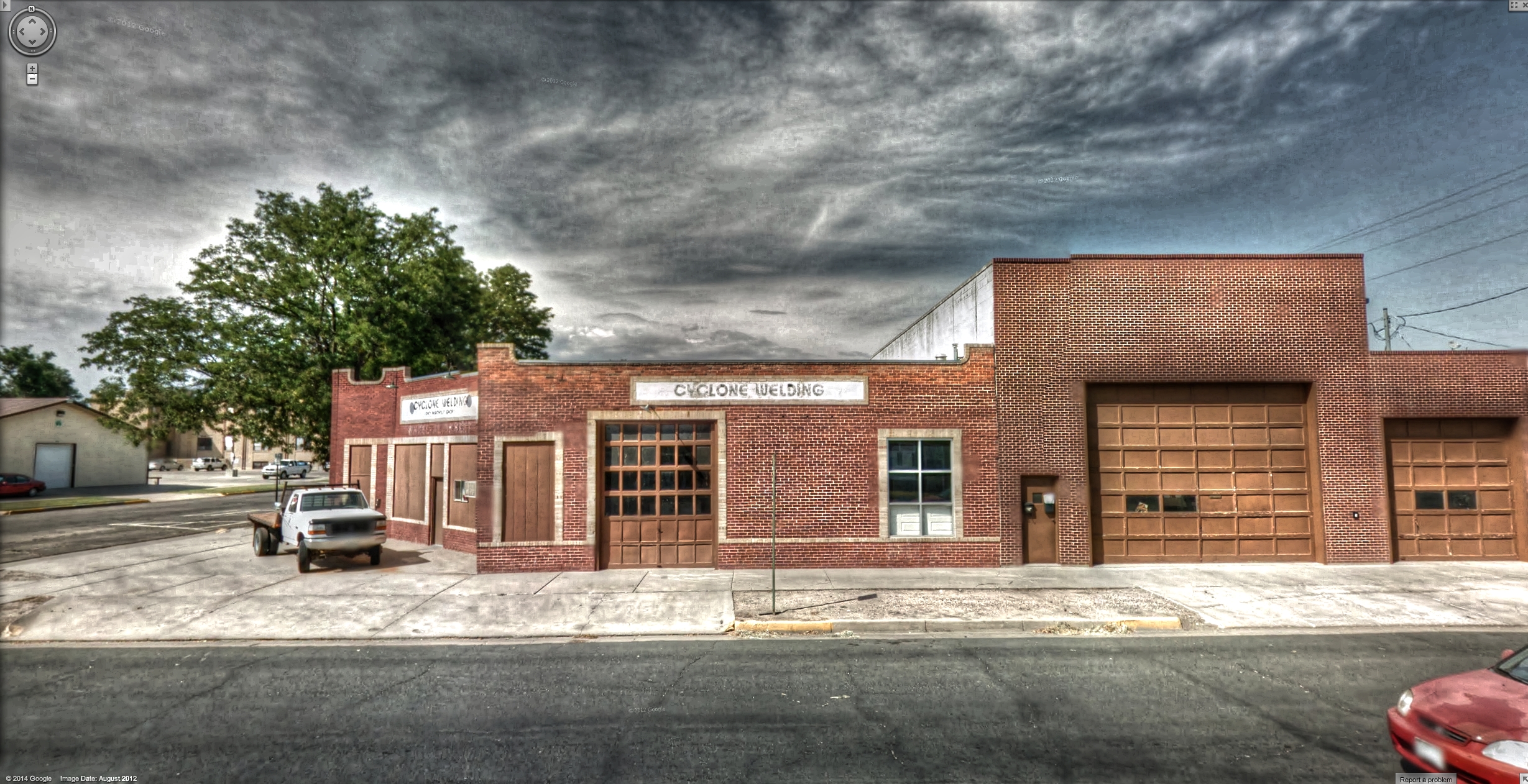
Google Street View - Pan-American Trek - Cyclone Welding
trek google mural colorado co hdr streetview panamerican fortmorgan photomatix ftmorgan gsv googlestreetview
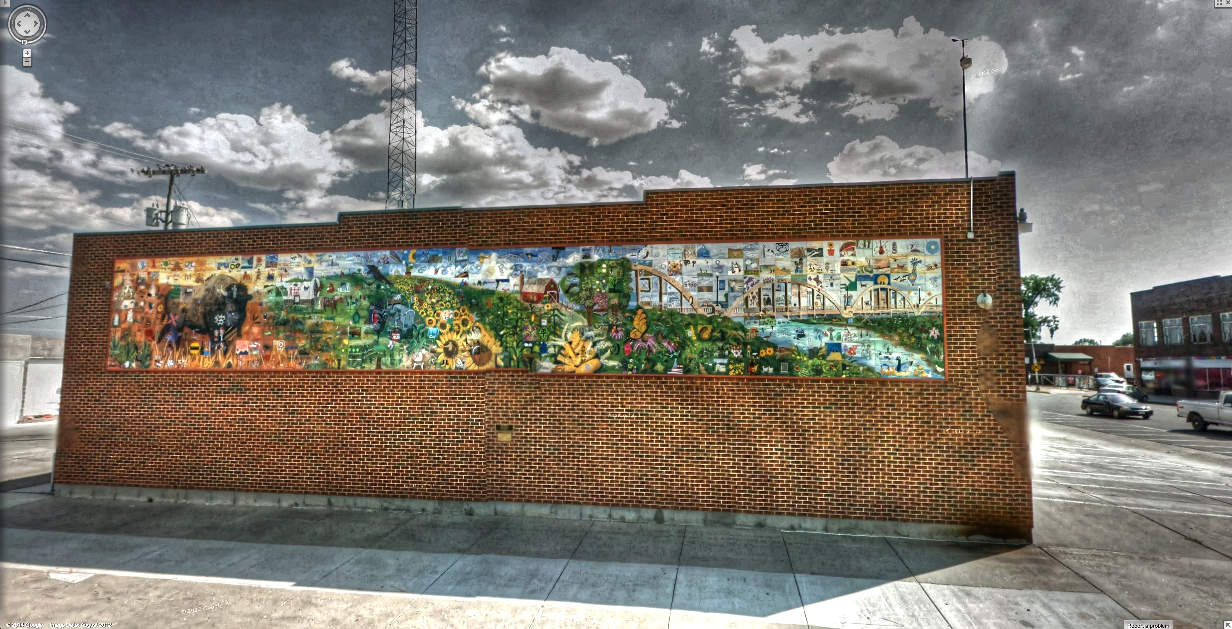
Google Street View - Pan-American Trek - Fort Morgan mural
trek store google colorado liquor co budlight hdr streetview panamerican icemachine jovi yesi beersign tiendita fortmorgan photomatix ftmorgan gsv jovis googlestreetview
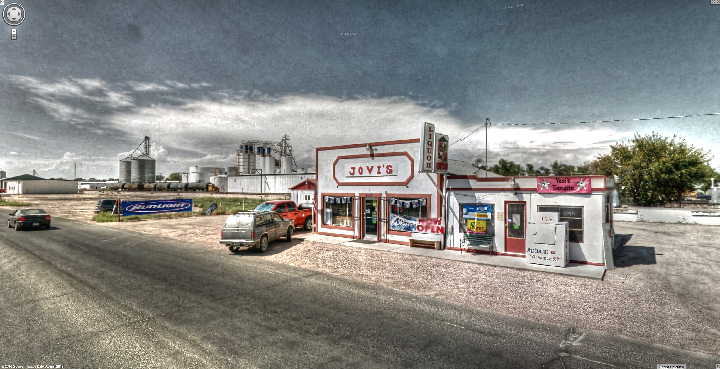
Google Street View - Pan-American Trek - Jovi's Liquor Store
trek google colorado downtown furniture co morgan hdr smalltown streetview panamerican fortmorgan photomatix ftmorgan gsv googlestreetview
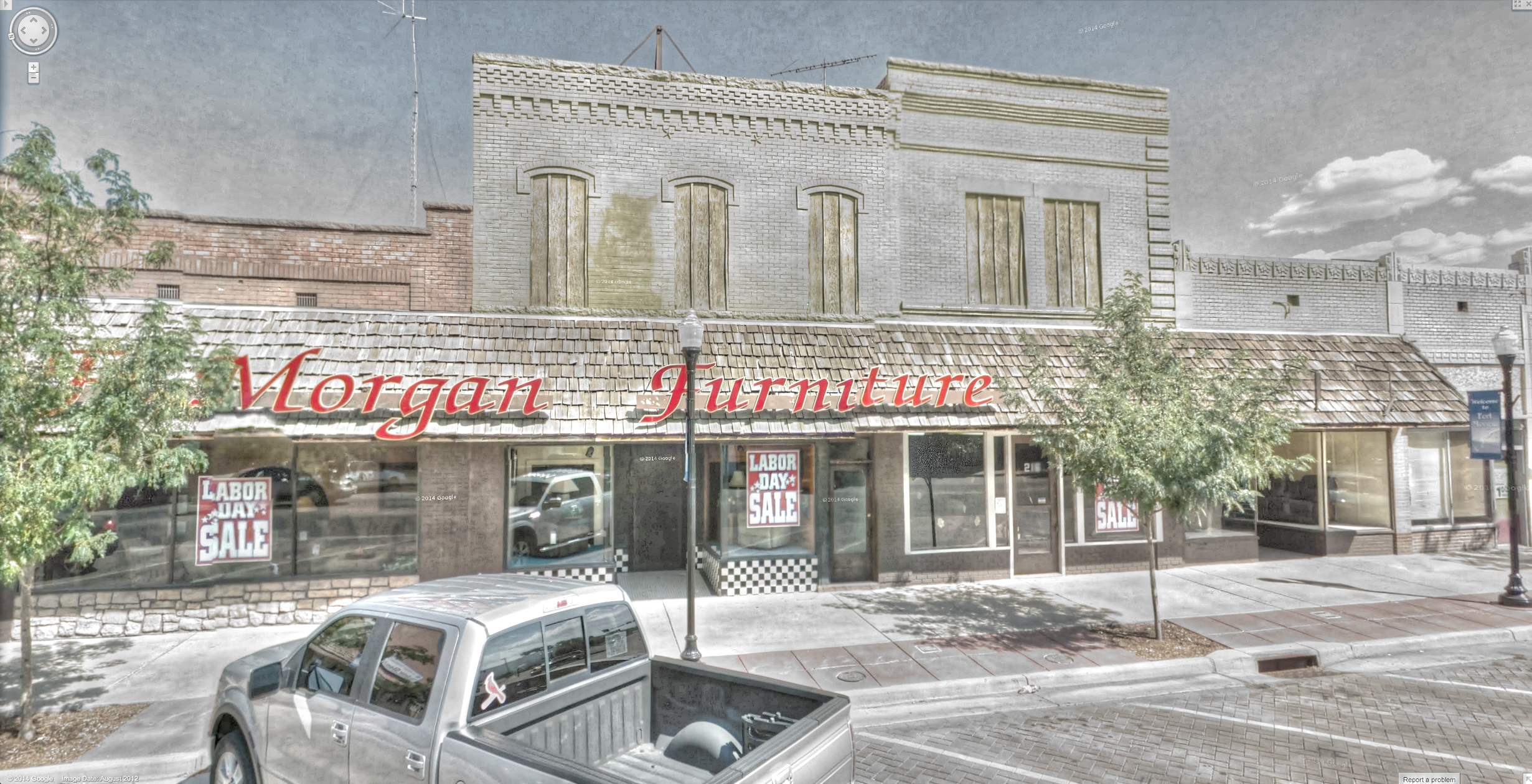
Google Street View - Pan-American Trek - Morgan Furniture
architecture trek google colorado co hdr streetview panamerican semicircle fortmorgan photomatix ftmorgan gsv googlestreetview
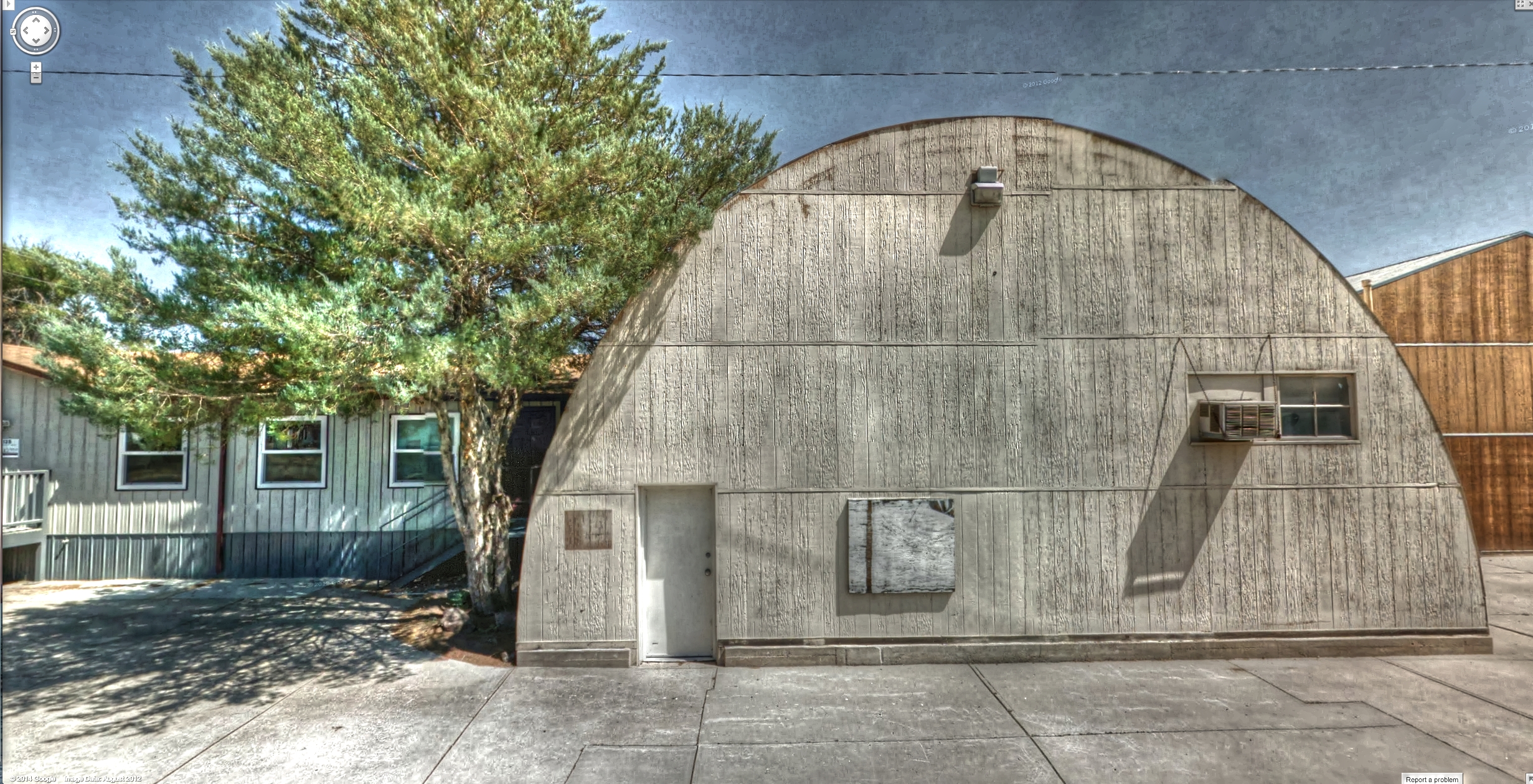
Google Street View - Pan-American Trek - Semi-circle
sign trek google colorado co hdr streetview panamerican noloudmusic fortmorgan photomatix ftmorgan gsv googlestreetview
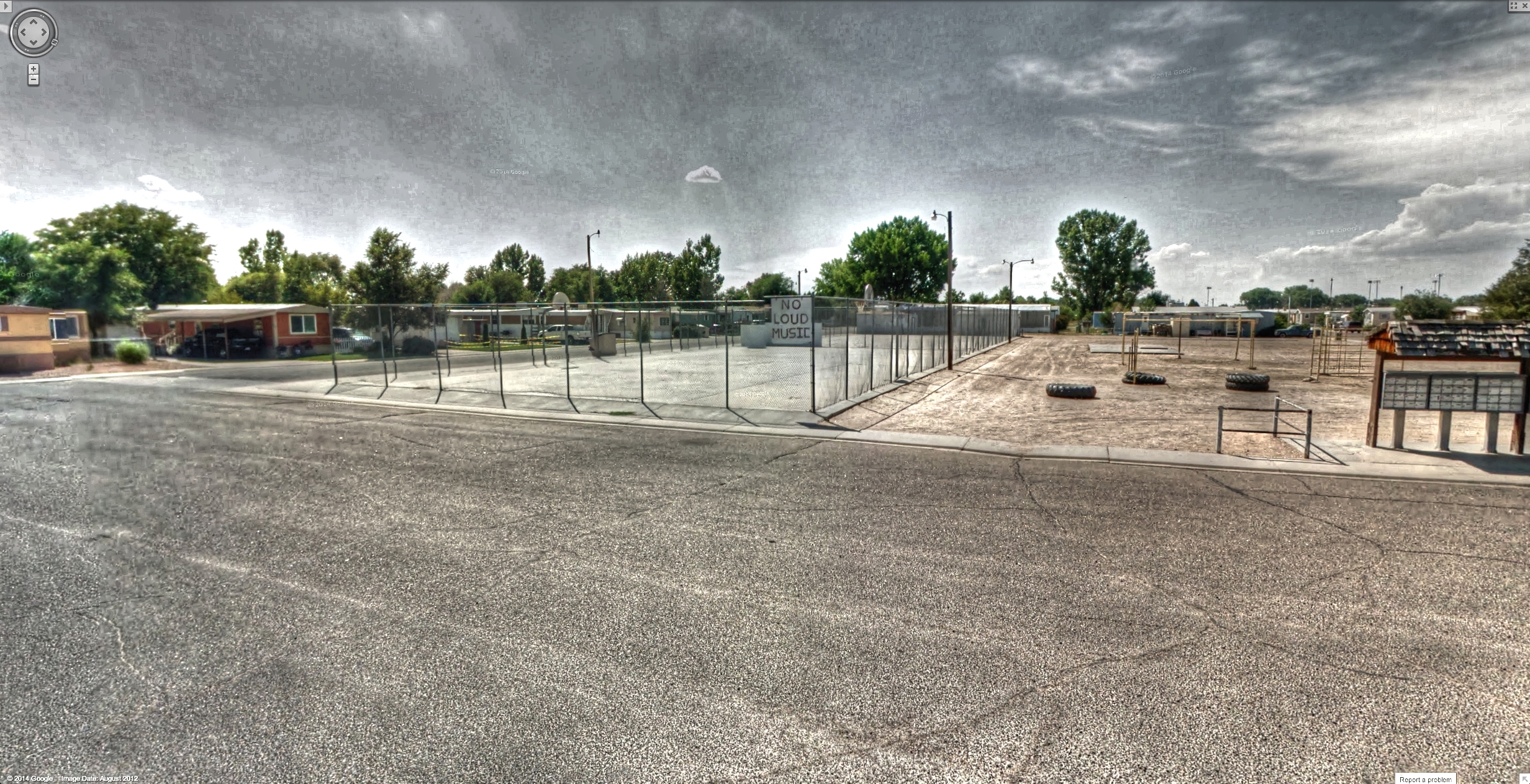
Google Street View - Pan-American Trek - No loud music
ptphoto colorado easternplainsofcolorado storm clouds hdr lightroom5 pse12 sigma1020mm stitched mammatus
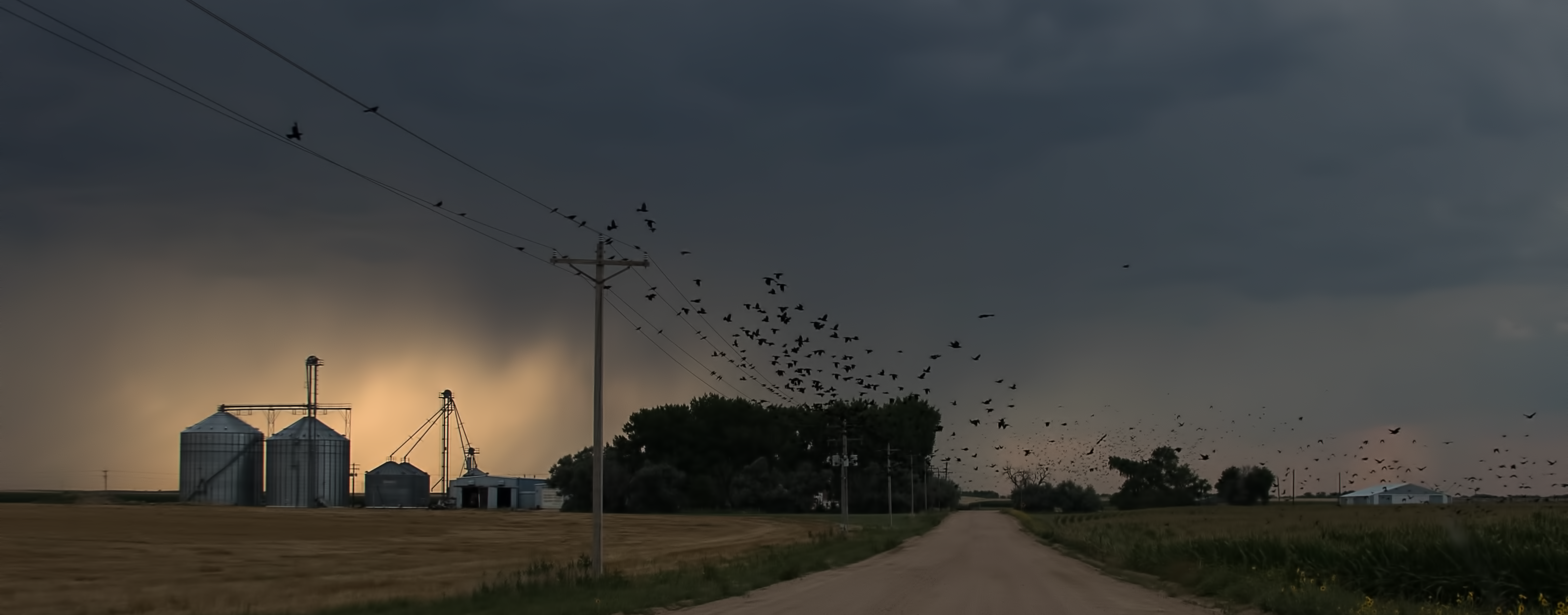
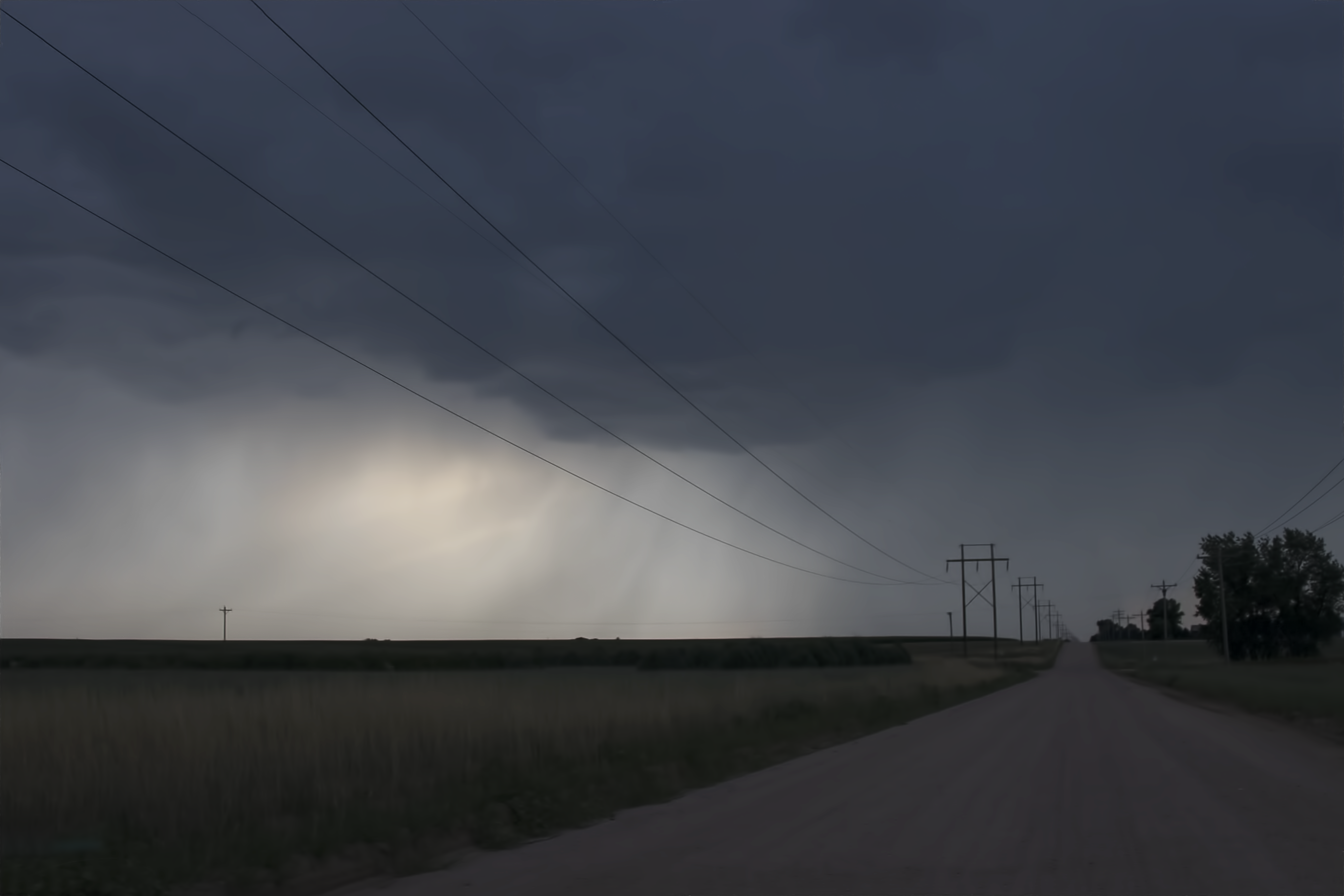
Colorado Storm Clouds
nature landscape fortmorgan colorado sun sunset burlingtonave street road railroad railroadtracks clouds sky fgppc coloradophotography fgppcwinner winner b4 awaitingsmugmug bfour fbgppc rural morgancounty b5 best2017 bestof2017 allof2017
Looking west on Burlington Ave, Fort Morgan, Colorado. 7/18/2017 - 20170718_201629
lmx b398 fortmorganco
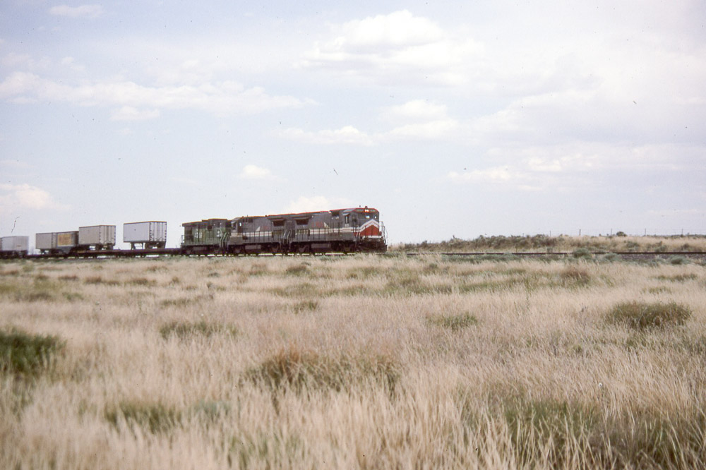
LMX B39-8 #8505 near Fort Morgan CO on 6/27/90
monroecounty nature landscape farm bnw sprinkler dark colorado rural pinnacle bbb cropsprinkler centerpivotsprinkler 100best bbbb morgancounty creative topdark24oct16 bestdark30 bestdark3029 minimalism landscape112616 topbnw artsy lines geometry postprocess b4 clouds 100best2 bfour morganco topbnw2 county country necolorado
Monroe County (Colorado) Road 24, south of CR R, between Fort Morgan and Brush - PLDL5272
morgancounty colorado landscape yellow sun sunset tree color pinnacle bbb coloradophotography bbbb bbbbb nature creative minimalism top40of2016 photoartimages toplandscape2016 gold b4 100best3 beholderjuly2017 beholderjuly2017v2 beholderjuly2017v3 monochrome rural country b5real test1 sunflare bfour b6candidates morganco colorreal bright county myfavorites clouds necolorado
Morgan County (Colorado) Road T5, between MCR 20 and MCR 2005, NE of Fort Morgan - PLDS1967
morgancounty colorado sprinkler cropsprinkler sun sunset water farm rural clouds landscape coloradophotography centerpivotsprinkler pinnacle bbb coloradoophotography nature creative minimaltop7 photoartimages isolate top40of2016 toplandscape2016 photophactorychallenges bbbphoto bbbphotochallenge b4 ppg bfc ppc fgppc fgbpc 100best2 100best3 beholderjuly2017 beholderjuly2017v2 beholderjuly2017v3 bfour b6candidates morganco fbgppc b7 fbgbsus b8 sample county country theselect topselect myfavorites necolorado b5 b6
center pivot sprinkler, Morgan County (Colorado) Road 2005, between MCR V/21 and MCR U.5, NE of Fort Morgan 40°18'10" N 103°45'47" W - PLDS1934
morgancounty colorado nature landscape road clouds tree silhouette sun sunset yellow sunburst sunflare morganco rural baretree county country necolorado
Morgan County (Colorado) Road O, between MCR 6/600 and MCR 8, WSW of Fort Morgan, 40°12'13" N 104°0'17" W - PLDL0003
morgancounty nature landscape farm rural birds flock pole pinnacle bbb coloradophotography bbbb 100best evelyncolumbia colorado minimalism landscape112616 top40of2016 toplandscape2016 onsmugmug b4 clouds 100best2 telegraphtuesdaypending animal bfour structure morganco bestbirds b5 county country necolorado
flock - Morgan County (Colorado) Road T, between MCR 11 and MCR 12, WNW of Fort Morgan - PLDL7568
morgancounty landscape sky farm minimalism nature pinnacle bbb bbbb coloraodphotography coloradophotography 100best colorado minimaltop7 landscape112616 bestbest top40of2016 toplandscape2016 b4 100best2 beholderjuly2017v2 beholderjuly2017v3 rural country bfour morganco b5 county far clouds necolorado
At Morgan County (Colorado) Roads U & 7, facing NW - PLDL7843 40°17'27" N 104°1'5" W
morgancounty rural farm colorado minimalism cropsprinkler crop field sky landscape pinnacle bbb bnw coloraodphotography coloradophotography sprinkler centerpivotsprinkler bbbb nature minimaltop7 top40of2016 topbnw topminimalism minimalismtops theminimals favbnw minimalblacjandwhitecorner b4 beholderjuly2017v2 beholderjuly2017v3 b5 bfour morganco topbnw2 fbgbsus fbgsdp silhouette simple arc county country clouds necolorado in3words
"Sidearm Delivery", Morgan County, Colorado - PLDL6834-Edit
morgancounty rural pole colorado nature clouds road pinnacle bbb 100best bbbb minimalism top40of2016 onsmugmug b4 landscape 100best2 100best3 beholderjuly2017 beholderjuly2017v2 beholderjuly2017v3 telegraphtuesdaypending leadinglines bfour structure vanishingpoint b5 county country necolorado
Morgan County (Colorado) Road U, between CR 7 and CR 8 - PLDL7829
sunrise canon colorado riparian southplatteriver 70d ptphoto jeanktoolswa lightroom5 pse12
Chillin' by the South Platte River
sunrise dawn colorado southplatteriver 70d dphdr ptphoto pwlandscape jeanktoolswa lightroom5 pse12
Dawn by the River
storm lightning
Fort Morgan, Colorado
sky nature weather clouds rural landscapes colorado unitedstates country rustic homestead storms climate thunderstorms northeastcolorado jamesinsogna weldona
Country Air
spring colorado stitched hdr vertorama dphdr ptphoto pse8
The Calming Effect
colorado highplains easterncolorado abandoned storm haybales hay field canoneos60d canonef24105mmf4lisusm
High Plains
square squareformat iphoneography instagramapp uploaded:by=instagram
Highplains Skyscrapers
colorado nature landscape morgancounty sun pole b4 telegraphtuesday onsmugmug bfour structure morganco vanishingpoint b5 powerpole onssmugmug rural county country allof2017 bestof2017 necolorado
Morgan County (Colorado) road L, east of Shermanstreet Road - (40°9'35" N 103°47'0" W) PLDL4139.2048..crop
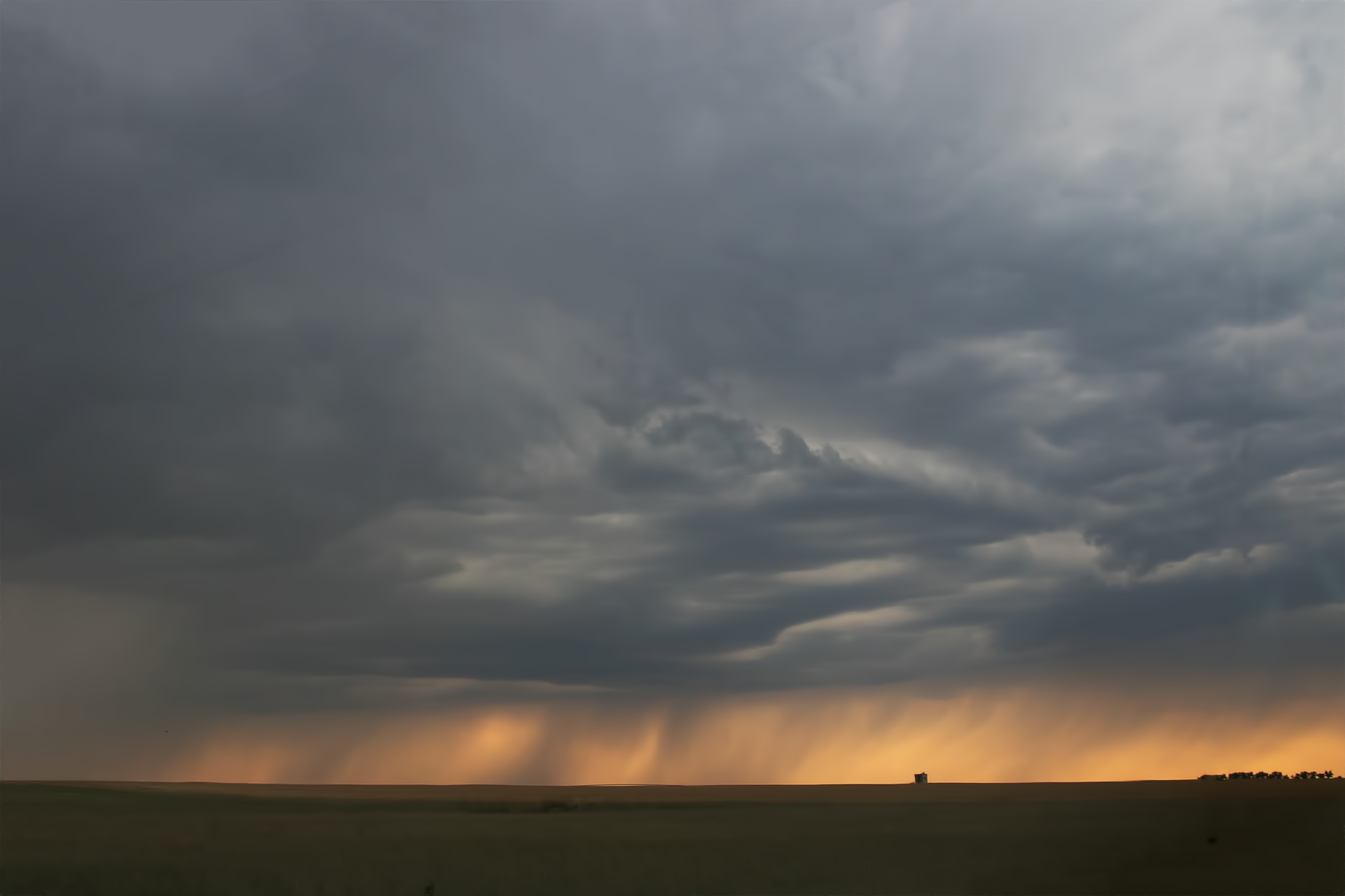
highplains easterncolorado colorado haybales hay field storm clouds sky blackandwhite monochrome
High Plains Storm
Nebraska / Colorado / Utah 2017