Elevation of Co Rd B, Fort Morgan, CO, USA
Location: United States > Colorado > Morgan County > Fort Morgan >
Longitude: -103.86601
Latitude: 40.0136445
Elevation: 1413m / 4636feet
Barometric Pressure: 85KPa
Elevation Map:
Satellite Map:
Related Photos:

2010-06-11_3283
Up From The Middle

IMG_0974.jpg

adena chapel
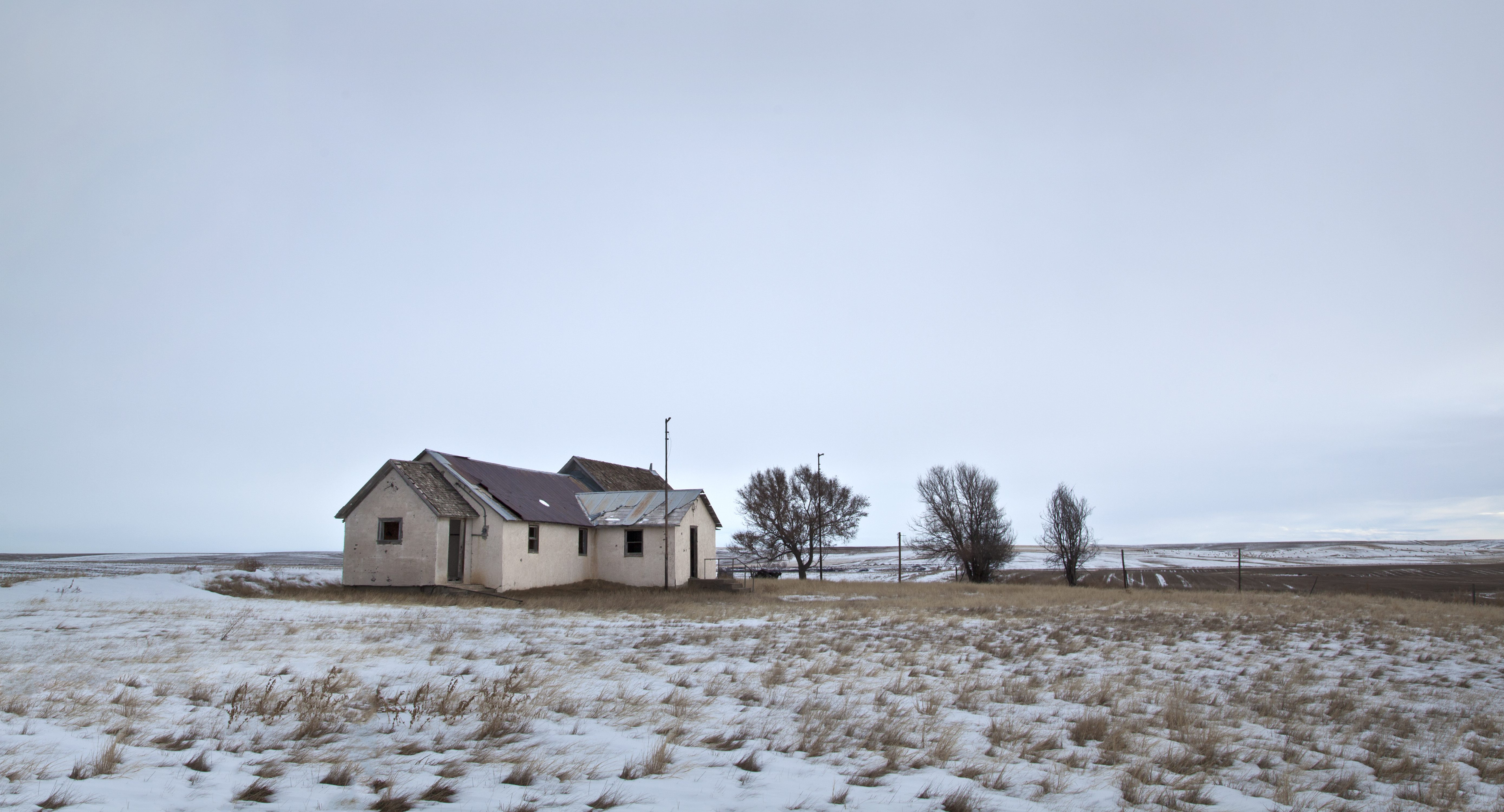
the Adena school
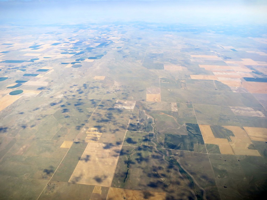
Aerial - USA (#1825)
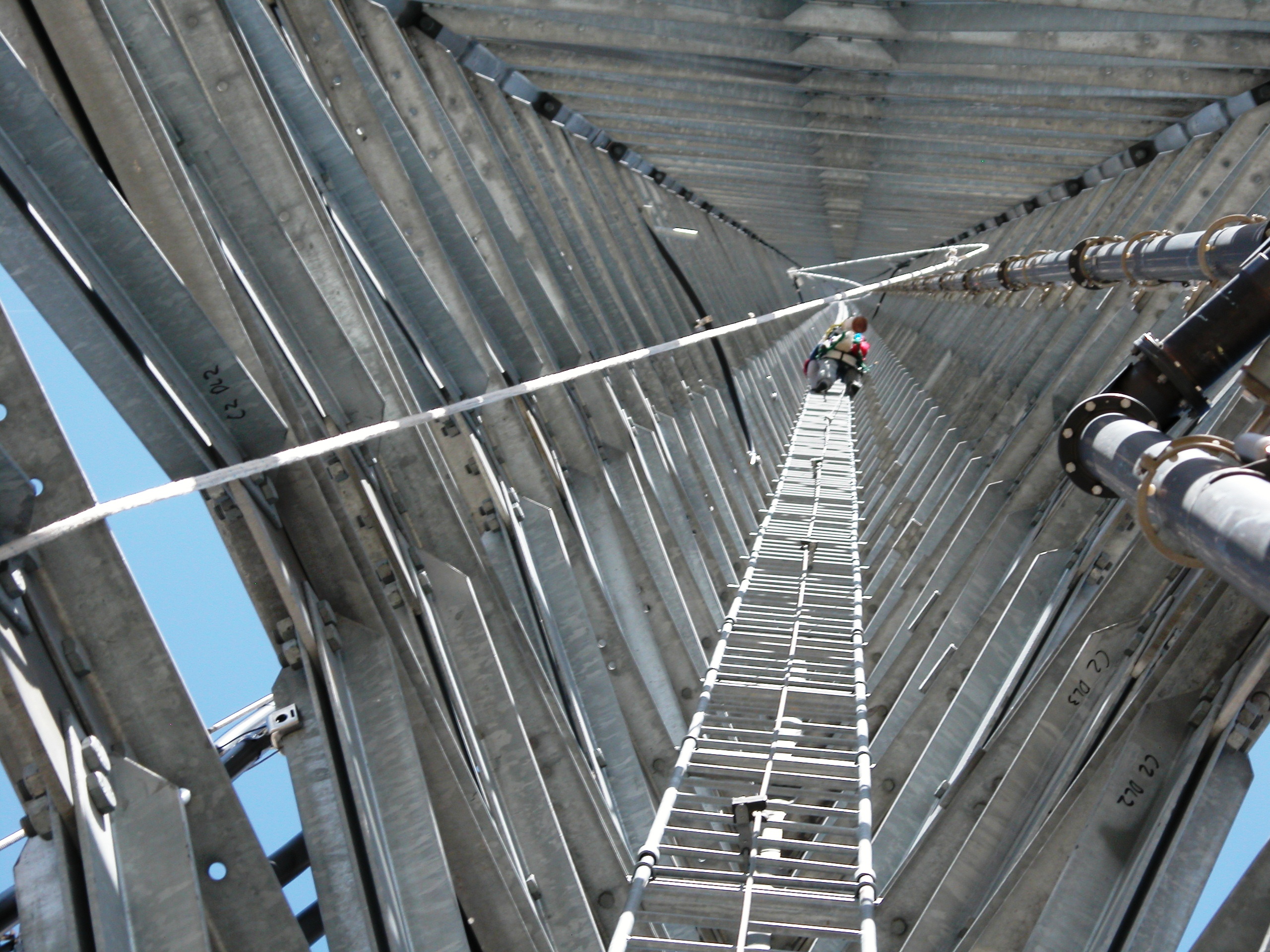
Inside Up
.
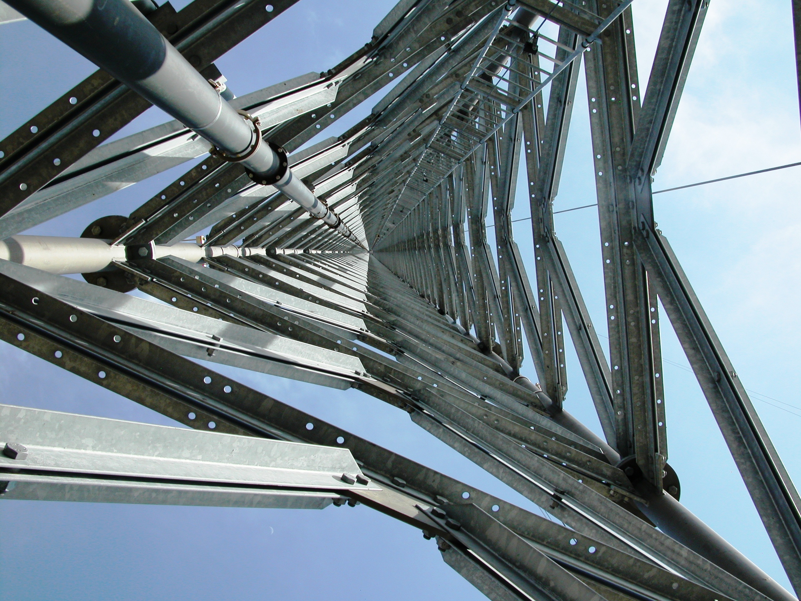
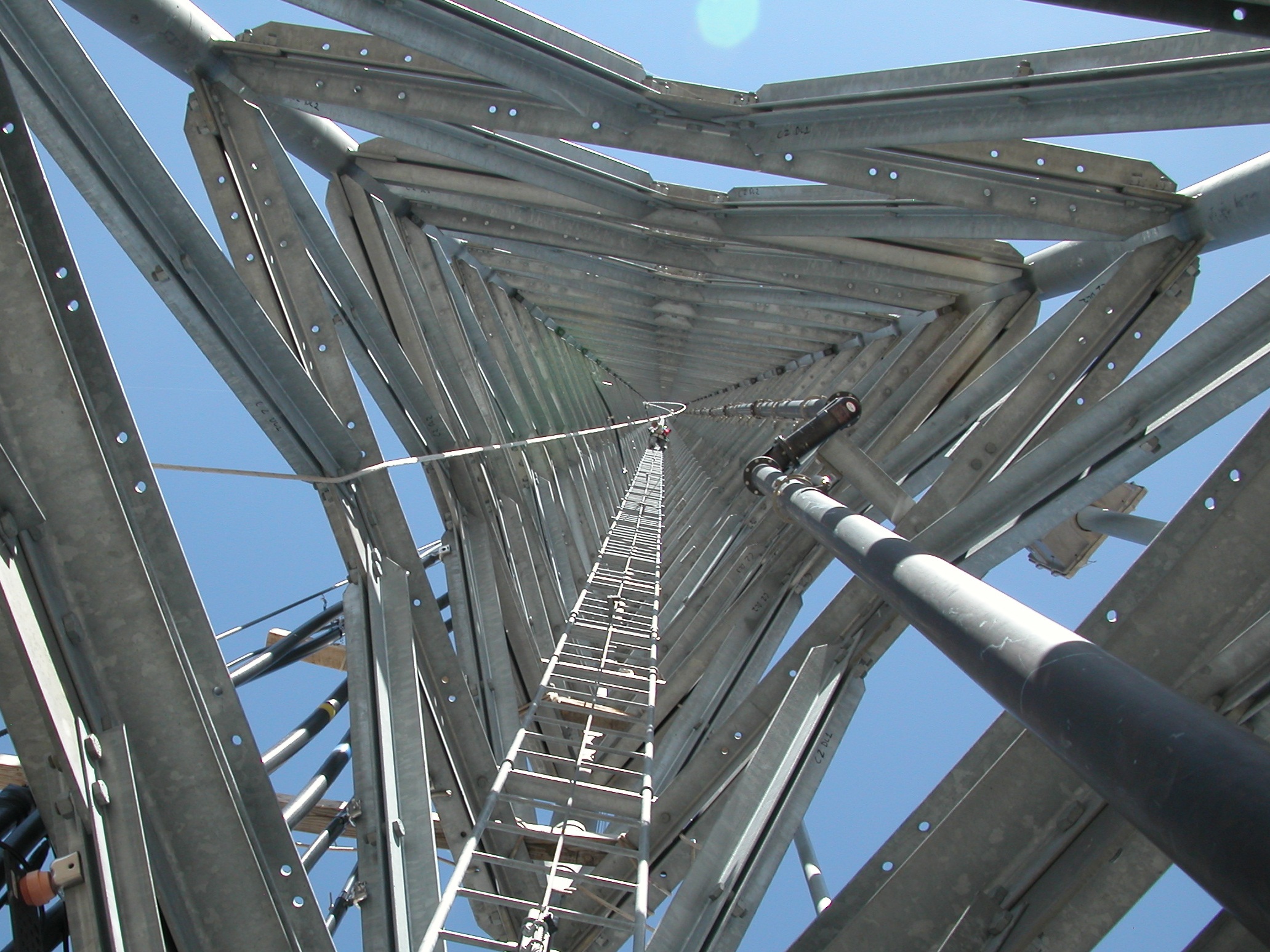
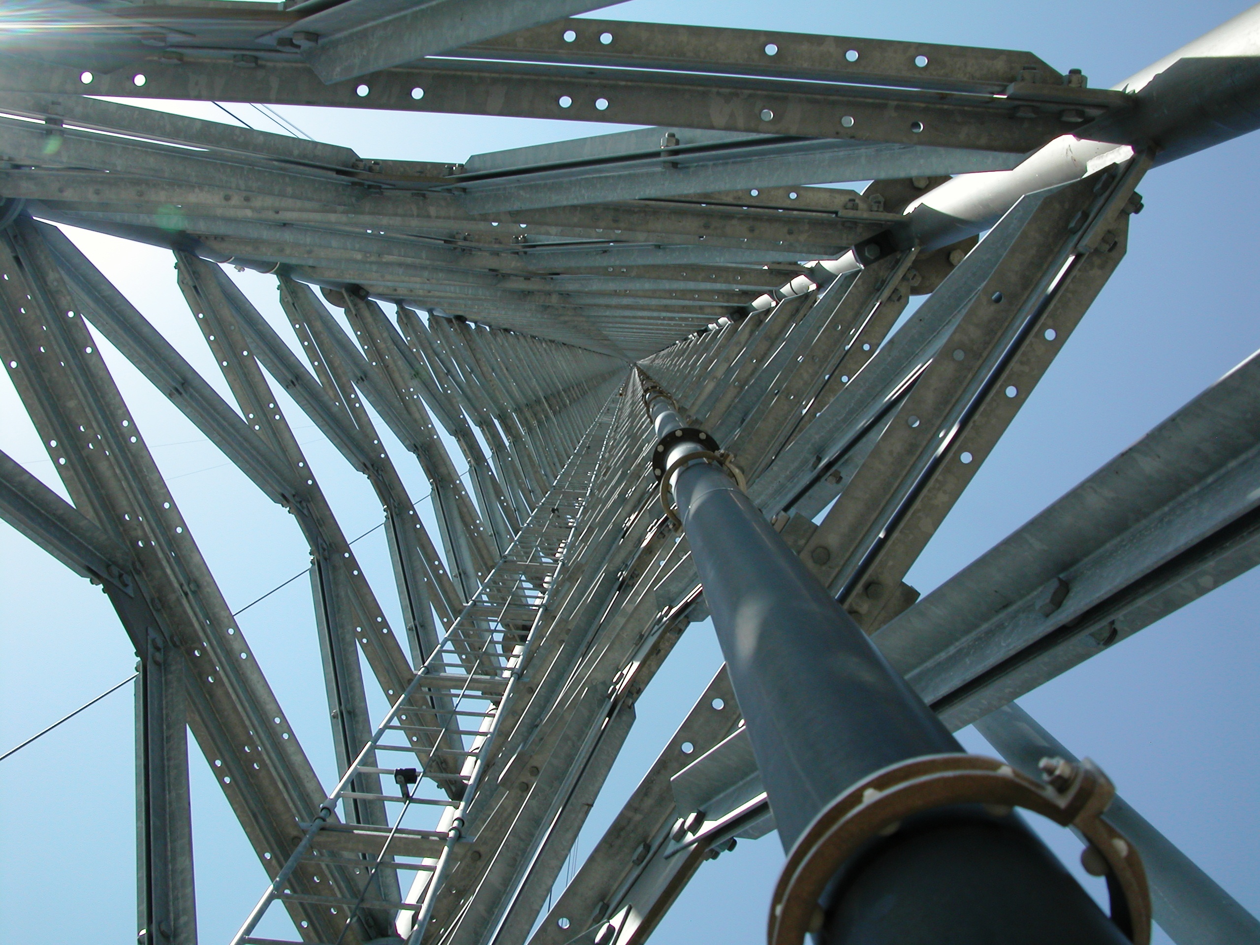
Going up
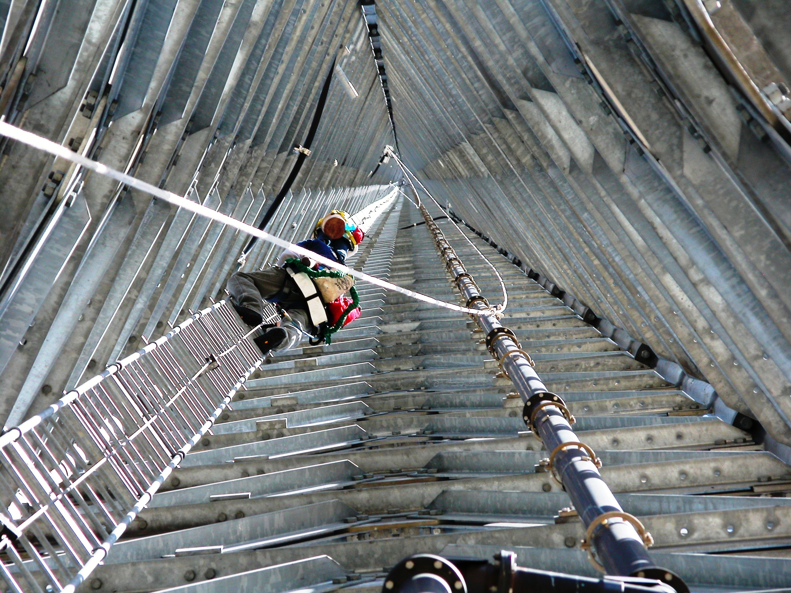
1900' Vertical Commute to work
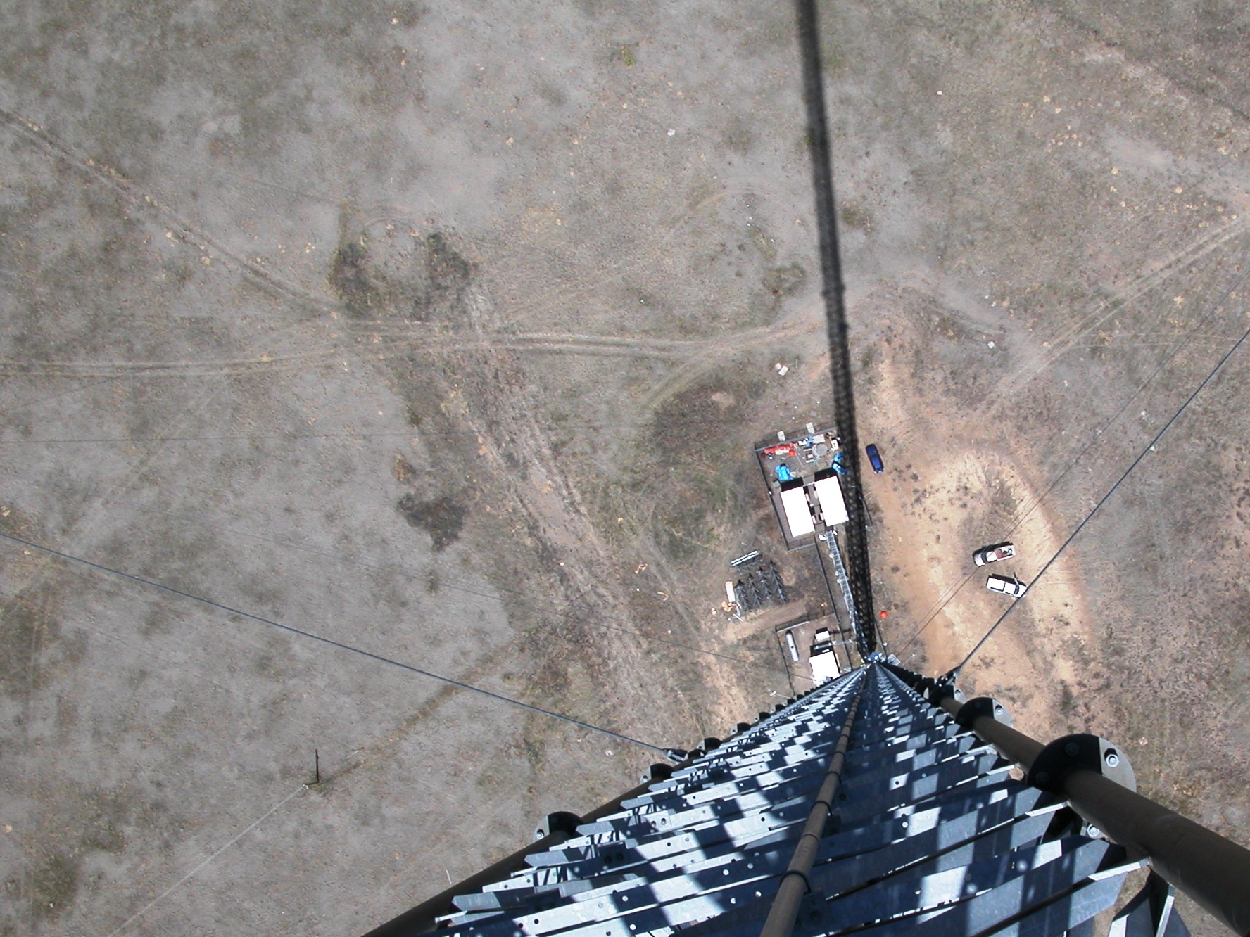
Long way down
.
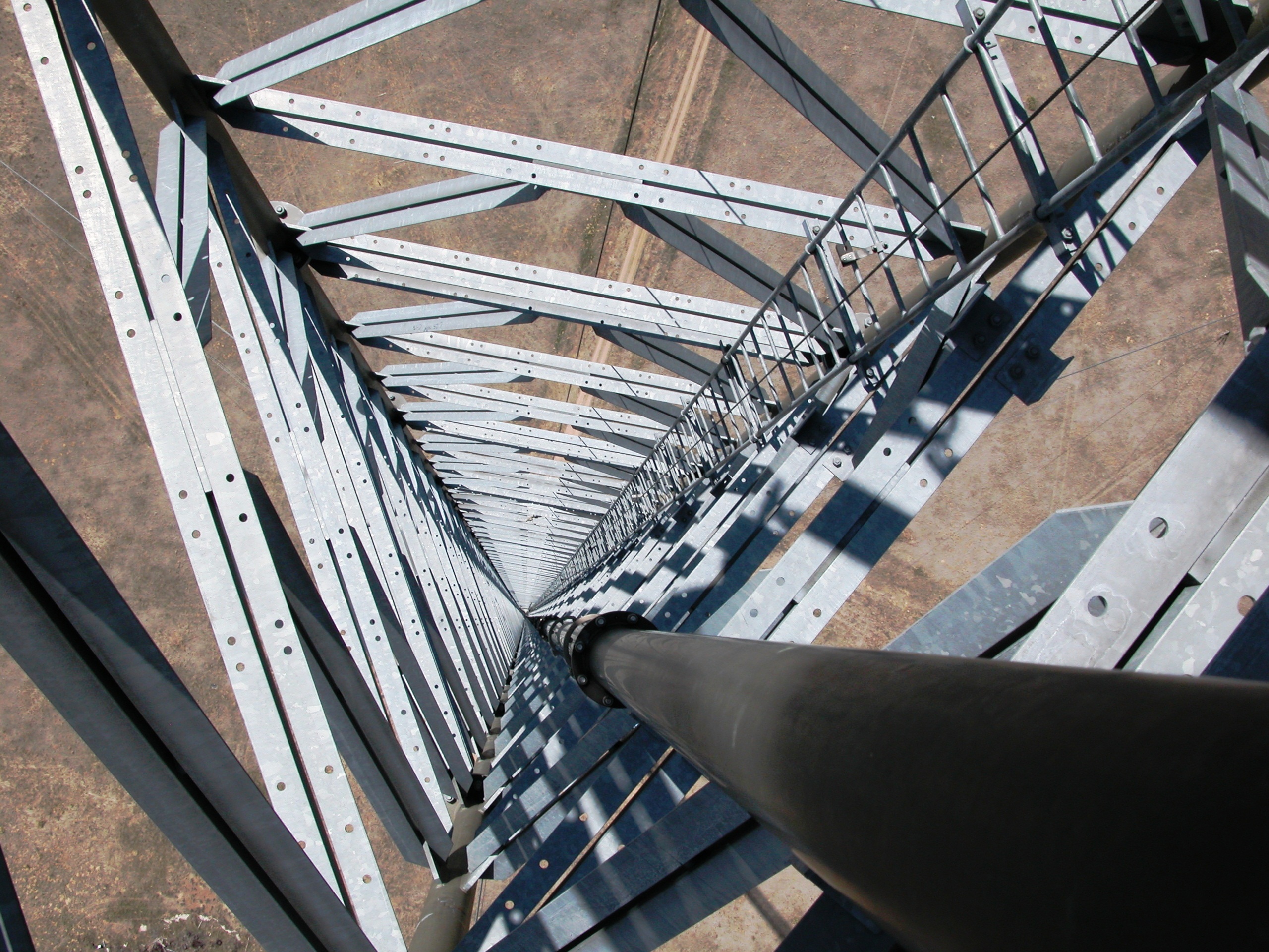
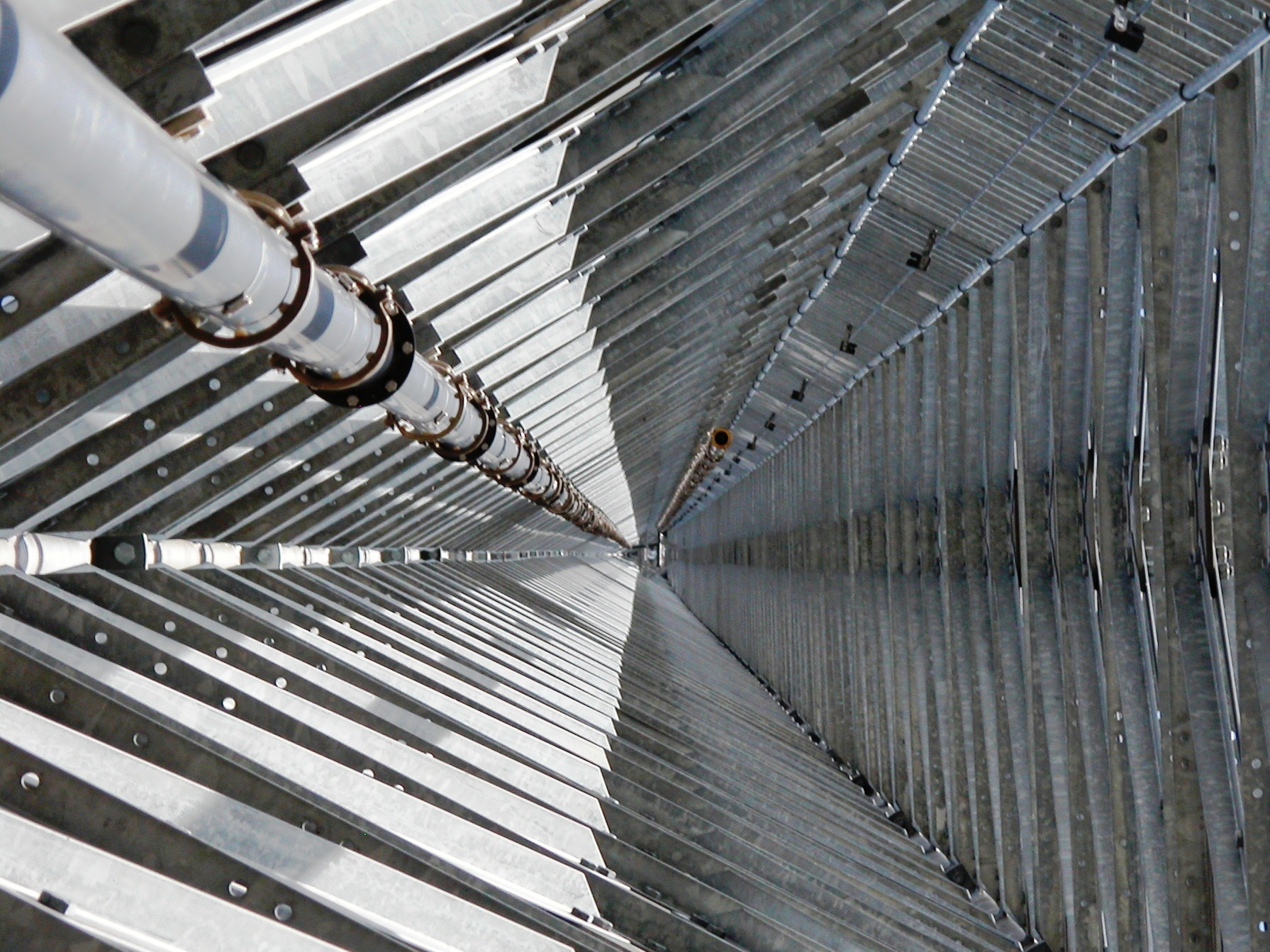
Inside down

Hummingbird Moth
Topographic Map of Co Rd B, Fort Morgan, CO, USA
Find elevation by address:

Places near Co Rd B, Fort Morgan, CO, USA:
Co Rd 16, Fort Morgan, CO, USA
Lamb
19377 Co Rd Q
Trailside Drive
Fort Morgan
431 Meeker St
104 Elm Dr
Oak St, Log Lane Village, CO, USA
Log Lane Village
102 Crest Dr
Woodrow
County Rd 20.5, Fort Morgan, CO, USA
US-34, Fort Morgan, CO, USA
County Rd E, Brush, CO, USA
Deer Trail, CO, USA
Saddle Ridge Drive
Morgan County
Brush
Weldona
US-36, Woodrow, CO, USA
Recent Searches:
- Elevation of Corso Fratelli Cairoli, 35, Macerata MC, Italy
- Elevation of Tallevast Rd, Sarasota, FL, USA
- Elevation of 4th St E, Sonoma, CA, USA
- Elevation of Black Hollow Rd, Pennsdale, PA, USA
- Elevation of Oakland Ave, Williamsport, PA, USA
- Elevation of Pedrógão Grande, Portugal
- Elevation of Klee Dr, Martinsburg, WV, USA
- Elevation of Via Roma, Pieranica CR, Italy
- Elevation of Tavkvetili Mountain, Georgia
- Elevation of Hartfords Bluff Cir, Mt Pleasant, SC, USA