Elevation of Woodrow, CO, USA
Location: United States > Colorado > Washington County >
Longitude: -103.59163
Latitude: 39.9881957
Elevation: 1369m / 4491feet
Barometric Pressure: 86KPa
Elevation Map:
Satellite Map:
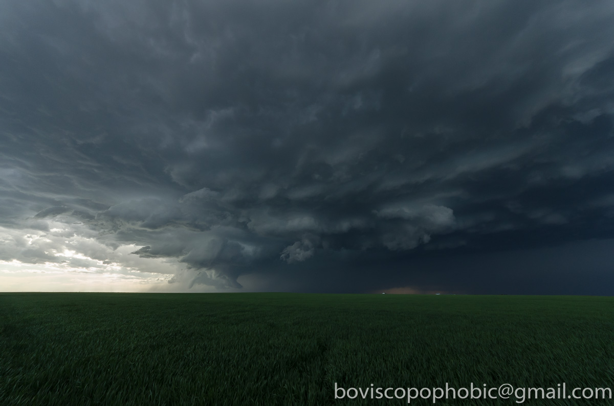
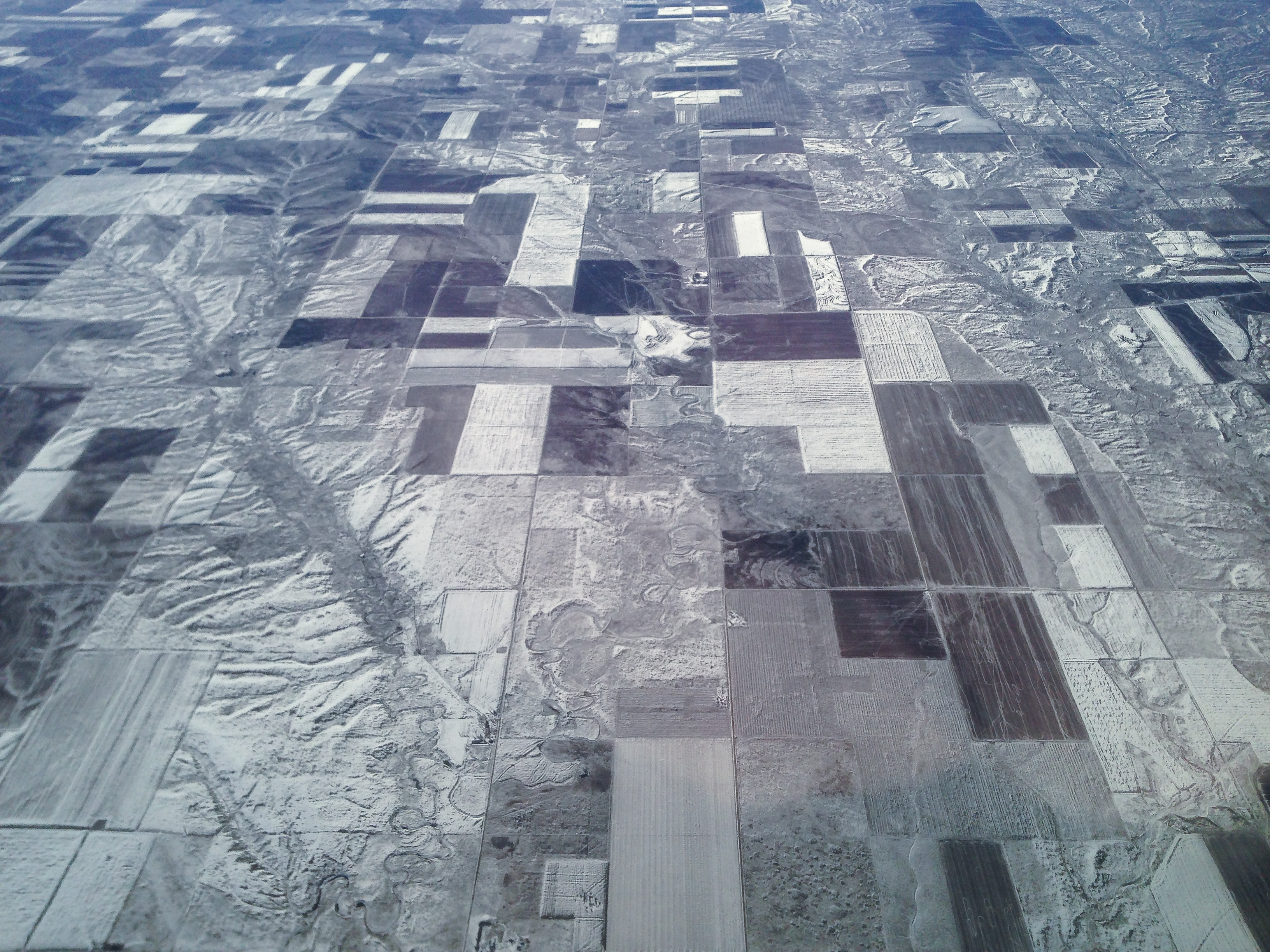
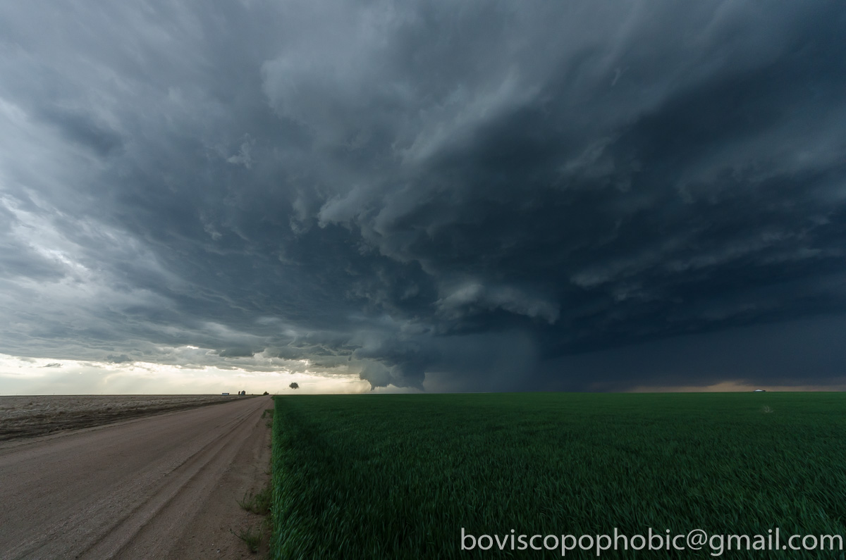
Related Photos:
20160524-DSC_1929

Brush, Colorado
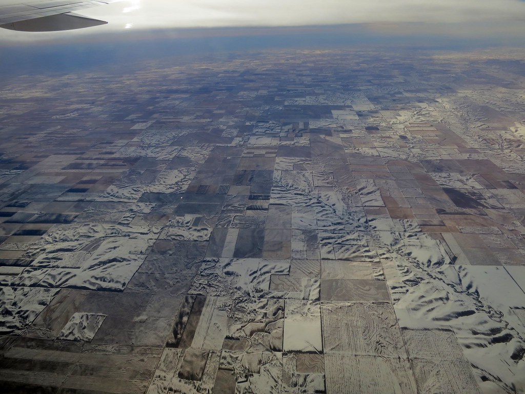
Aerial - USA (#6373)
Colorado Below

Cylon warbird bird, Morgan County, Colorado - PLDL9245

Looking up the rotation #severestorm #cowx #sky #weatherchannel #weatherlive #clouds #stormchasing #thunderstorm

20160524-DET_4707
20160524-DSC_1926
CH335 Farmland from the Air

Last Chance
Topographic Map of Woodrow, CO, USA
Find elevation by address:

Places in Woodrow, CO, USA:
Places near Woodrow, CO, USA:
County Rd E, Brush, CO, USA
Co Rd 30, Akron, CO, USA
US-36, Woodrow, CO, USA
Pinneo
Brush
Co Rd B, Fort Morgan, CO, USA
US-34, Fort Morgan, CO, USA
19377 Co Rd Q
County Rd 20.5, Fort Morgan, CO, USA
Fort Morgan
431 Meeker St
Morgan County
3rd St, Snyder, CO, USA
Snyder
Hillrose
Co Rd W 5/10, Hillrose, CO, USA
Deer Trail, CO, USA
Lamb
Co Rd 16, Fort Morgan, CO, USA
Trailside Drive
Recent Searches:
- Elevation of Corso Fratelli Cairoli, 35, Macerata MC, Italy
- Elevation of Tallevast Rd, Sarasota, FL, USA
- Elevation of 4th St E, Sonoma, CA, USA
- Elevation of Black Hollow Rd, Pennsdale, PA, USA
- Elevation of Oakland Ave, Williamsport, PA, USA
- Elevation of Pedrógão Grande, Portugal
- Elevation of Klee Dr, Martinsburg, WV, USA
- Elevation of Via Roma, Pieranica CR, Italy
- Elevation of Tavkvetili Mountain, Georgia
- Elevation of Hartfords Bluff Cir, Mt Pleasant, SC, USA