Elevation of Co Rd 30, Akron, CO, USA
Location: United States > Colorado > Washington County > Akron >
Longitude: -103.36504
Latitude: 40.0016606
Elevation: 1453m / 4767feet
Barometric Pressure: 85KPa
Elevation Map:
Satellite Map:
Related Photos:

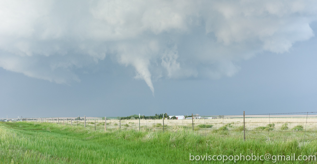
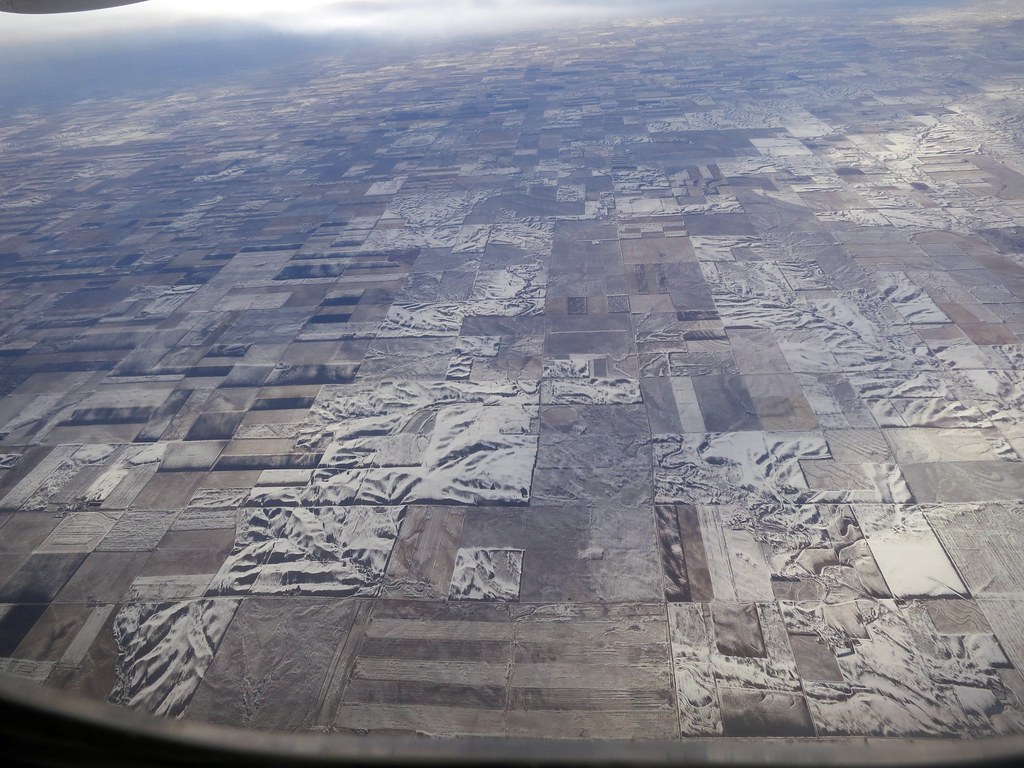
Aerial - USA (#6373)

DSC_0167-2

20160525-DET_4738
20160525-DET_4732

Besökare Samtidigt
Aerial - USA (#6375)

Aerial - USA (#6374)

DSC_0176-2

DSC_0168-2

DSC_0160-2

DSC_0095-2

DSC_0093-2

DSC_0063-3

DSC_0063-2
Topographic Map of Co Rd 30, Akron, CO, USA
Find elevation by address:

Places near Co Rd 30, Akron, CO, USA:
CO-63, Akron, CO, USA
Akron
Pinneo
County Rd E, Brush, CO, USA
Woodrow
US-36, Woodrow, CO, USA
Co Rd W 5/10, Hillrose, CO, USA
Hillrose
Brush
Washington County
Co Rd 32, Snyder, CO, USA
3rd St, Snyder, CO, USA
Snyder
US-34, Fort Morgan, CO, USA
Prewitt Reservoir
Otis
County Rd 59.5, Merino, CO, USA
Morgan County
19377 Co Rd Q
Merino
Recent Searches:
- Elevation of Corso Fratelli Cairoli, 35, Macerata MC, Italy
- Elevation of Tallevast Rd, Sarasota, FL, USA
- Elevation of 4th St E, Sonoma, CA, USA
- Elevation of Black Hollow Rd, Pennsdale, PA, USA
- Elevation of Oakland Ave, Williamsport, PA, USA
- Elevation of Pedrógão Grande, Portugal
- Elevation of Klee Dr, Martinsburg, WV, USA
- Elevation of Via Roma, Pieranica CR, Italy
- Elevation of Tavkvetili Mountain, Georgia
- Elevation of Hartfords Bluff Cir, Mt Pleasant, SC, USA