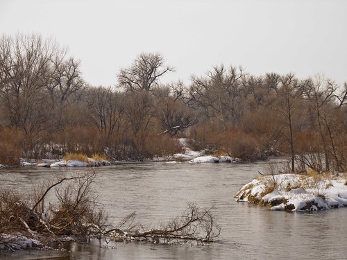
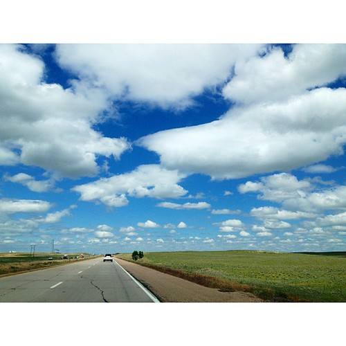
Elevation of County Rd 59.5, Merino, CO, USA
Location: United States > Colorado > Washington County > Merino >
Longitude: -103.43690
Latitude: 40.4291634
Elevation: 1247m / 4091feet
Barometric Pressure: 87KPa
Related Photos:
Topographic Map of County Rd 59.5, Merino, CO, USA
Find elevation by address:

Places near County Rd 59.5, Merino, CO, USA:
Prewitt Reservoir
Merino
Co Rd 32, Snyder, CO, USA
Co Rd W 5/10, Hillrose, CO, USA
Hillrose
Co Rd 11, Merino, CO, USA
Co Rd 22, Sterling, CO, USA
Snyder
3rd St, Snyder, CO, USA
Atwood
39811 Co Rd 157
Pinneo
Co Rd, Sterling, CO, USA
Brush
12456 Co Rd 37
615 Fairhurst St
Sterling, CO, USA
Sterling
25 E Chestnut St
312 Hereford Ave
Recent Searches:
- Elevation of Corso Fratelli Cairoli, 35, Macerata MC, Italy
- Elevation of Tallevast Rd, Sarasota, FL, USA
- Elevation of 4th St E, Sonoma, CA, USA
- Elevation of Black Hollow Rd, Pennsdale, PA, USA
- Elevation of Oakland Ave, Williamsport, PA, USA
- Elevation of Pedrógão Grande, Portugal
- Elevation of Klee Dr, Martinsburg, WV, USA
- Elevation of Via Roma, Pieranica CR, Italy
- Elevation of Tavkvetili Mountain, Georgia
- Elevation of Hartfords Bluff Cir, Mt Pleasant, SC, USA
