Elevation of Co Rd, Merino, CO, USA
Location: United States > Colorado > Weld County >
Longitude: -103.58272
Latitude: 40.578653
Elevation: 1378m / 4521feet
Barometric Pressure: 86KPa
Elevation Map:
Satellite Map:
Related Photos:
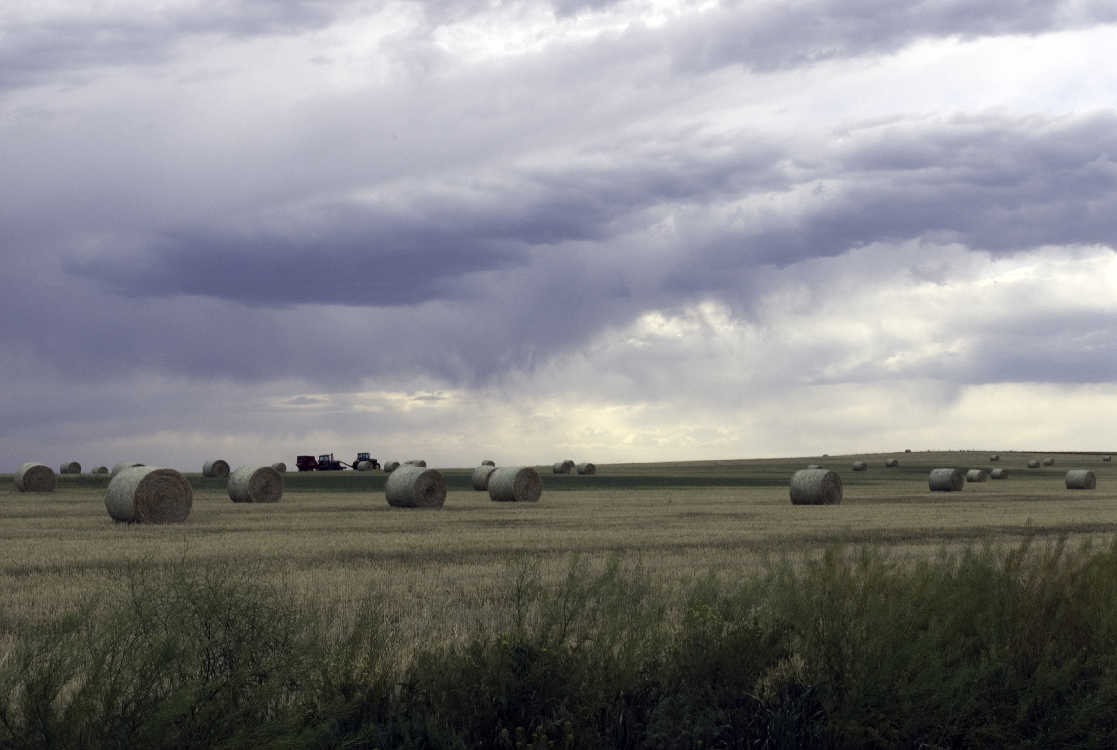
Colorado Hay Bales
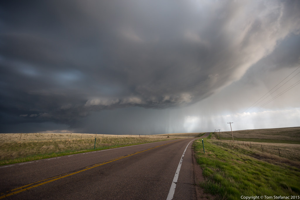
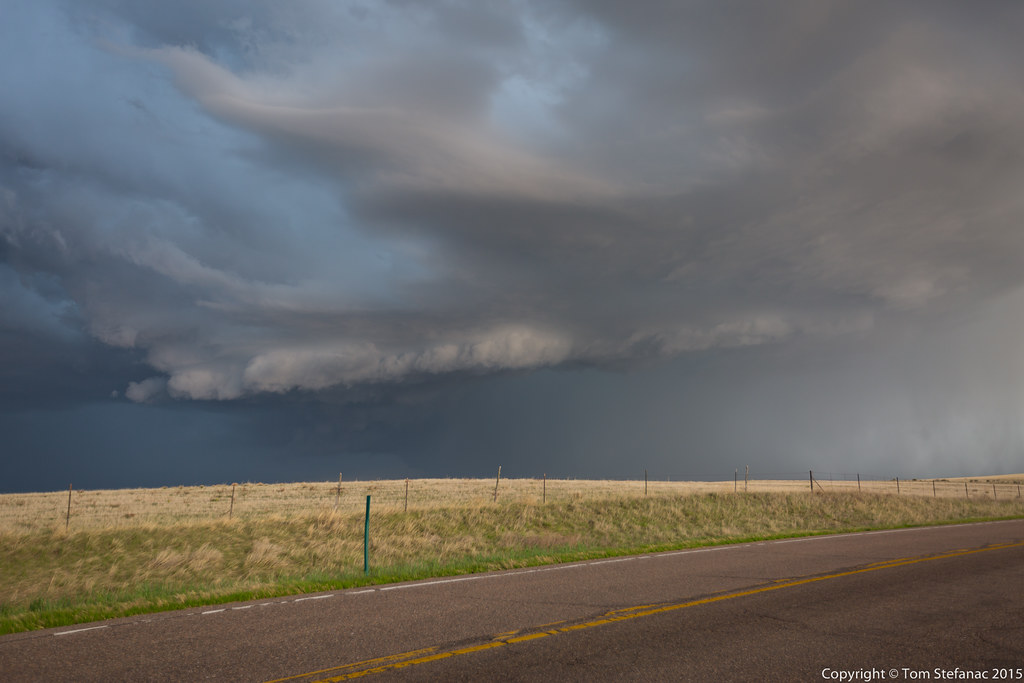
Backwards Storm
20170716-_MG_3432
20170716-_MG_3433
20170716-_MG_3428
20170716-_MG_3429
20170716-_MG_3430
20170716-_MG_3423
20170716-_MG_3426
20170716-_MG_3427
20170715-_MG_2936
20170715-_MG_2937
20170715-_MG_2938

20170715-_MG_2940
20170715-_MG_2941
2017-01-09_01-45-38
November 25, 2016 - Willard Colorado 3

20140521-IMG_5363
Cold Pooling
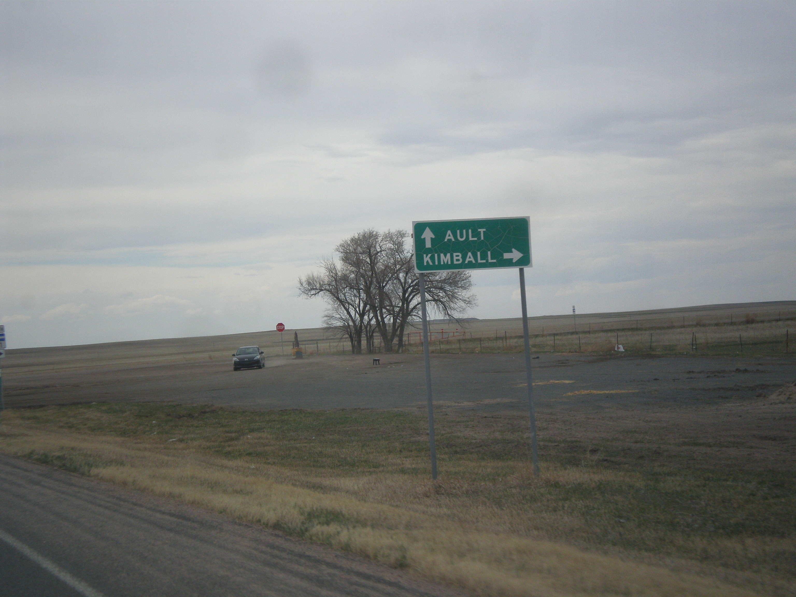
CO-14 West/CO-71 North at CO-71 North
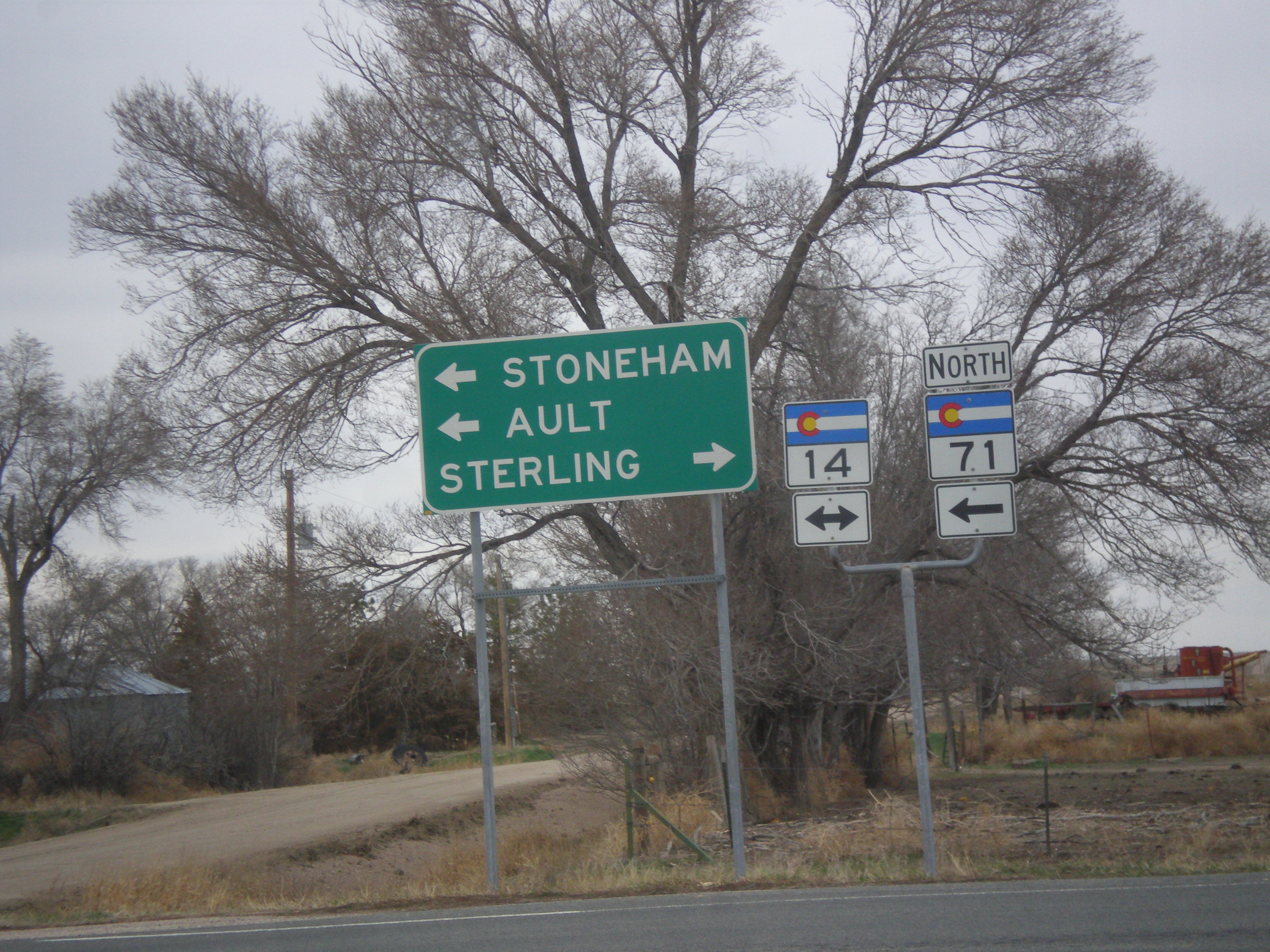
CO-71 North at CO-14
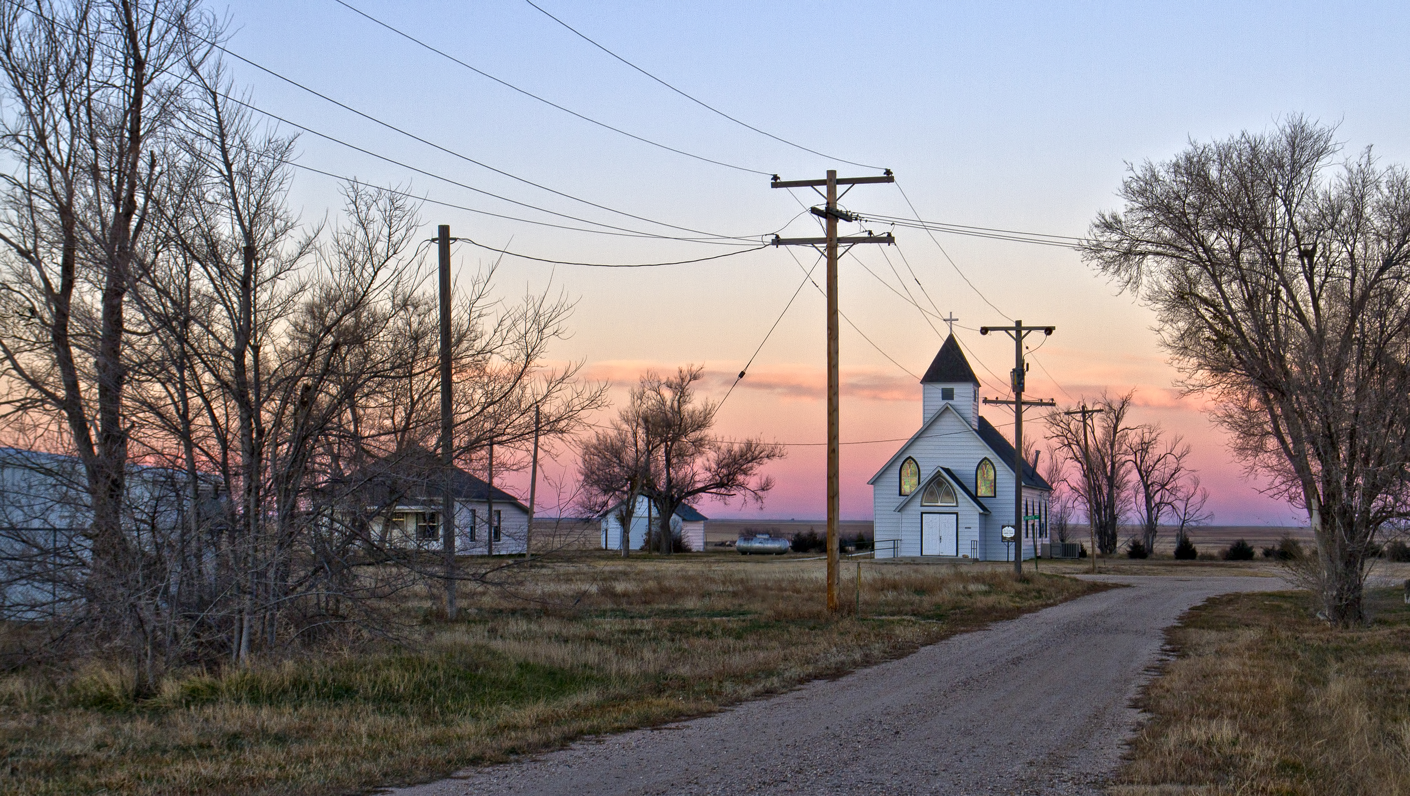
St Paul's
Topographic Map of Co Rd, Merino, CO, USA
Find elevation by address:

Places near Co Rd, Merino, CO, USA:
Co Rd 11, Merino, CO, USA
County Rd 59.5, Merino, CO, USA
Co Rd 32, Snyder, CO, USA
Co Rd 22, Sterling, CO, USA
Snyder
3rd St, Snyder, CO, USA
Merino
Hillrose
Co Rd W 5/10, Hillrose, CO, USA
Raymer
Prewitt Reservoir
Atwood
Morgan County
Brush
Saddle Ridge Drive
12456 Co Rd 37
US-34, Fort Morgan, CO, USA
County Rd 20.5, Fort Morgan, CO, USA
North Sterling Reservoir
Co Rd, Sterling, CO, USA
Recent Searches:
- Elevation of Corso Fratelli Cairoli, 35, Macerata MC, Italy
- Elevation of Tallevast Rd, Sarasota, FL, USA
- Elevation of 4th St E, Sonoma, CA, USA
- Elevation of Black Hollow Rd, Pennsdale, PA, USA
- Elevation of Oakland Ave, Williamsport, PA, USA
- Elevation of Pedrógão Grande, Portugal
- Elevation of Klee Dr, Martinsburg, WV, USA
- Elevation of Via Roma, Pieranica CR, Italy
- Elevation of Tavkvetili Mountain, Georgia
- Elevation of Hartfords Bluff Cir, Mt Pleasant, SC, USA