Elevation of Date St, Deer Trail, CO, USA
Location: United States > Colorado > Arapahoe County > Deer Trail >
Longitude: -104.04366
Latitude: 39.615031
Elevation: 1582m / 5190feet
Barometric Pressure: 84KPa
Elevation Map:
Satellite Map:
Related Photos:

Front Range

Trying Again

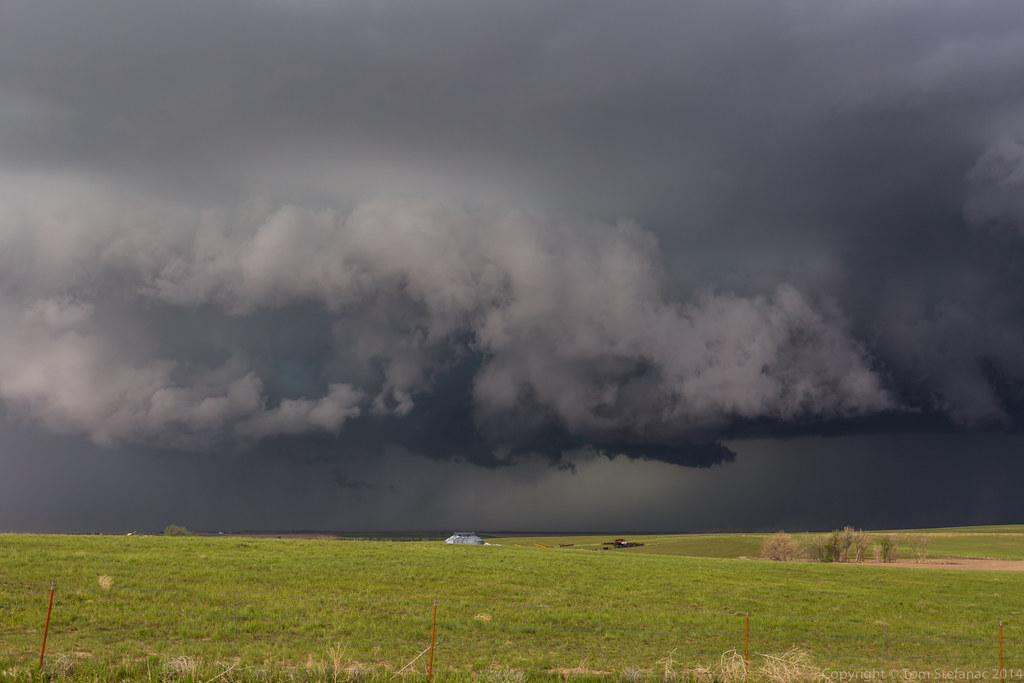
More Structure
Ramping Back Up
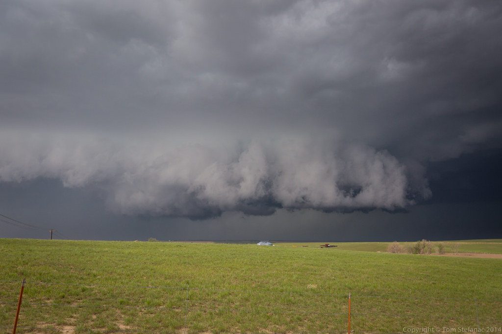
Even More Structure

Sunset Dear Trail 7/4/7
Deer Trail0010
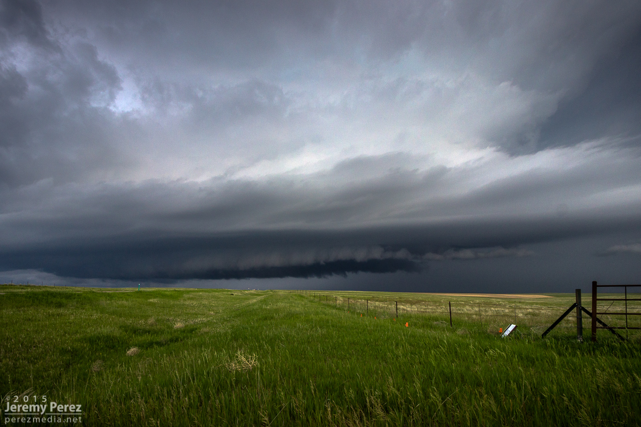
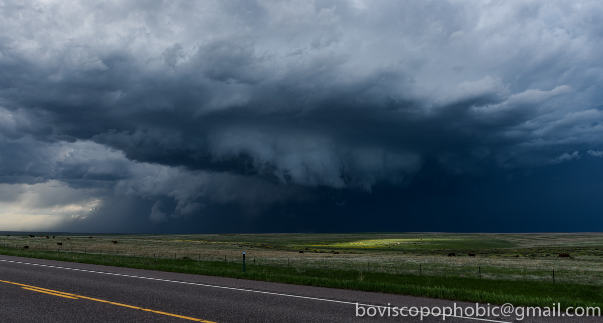
Jaws of a Byers Supercell

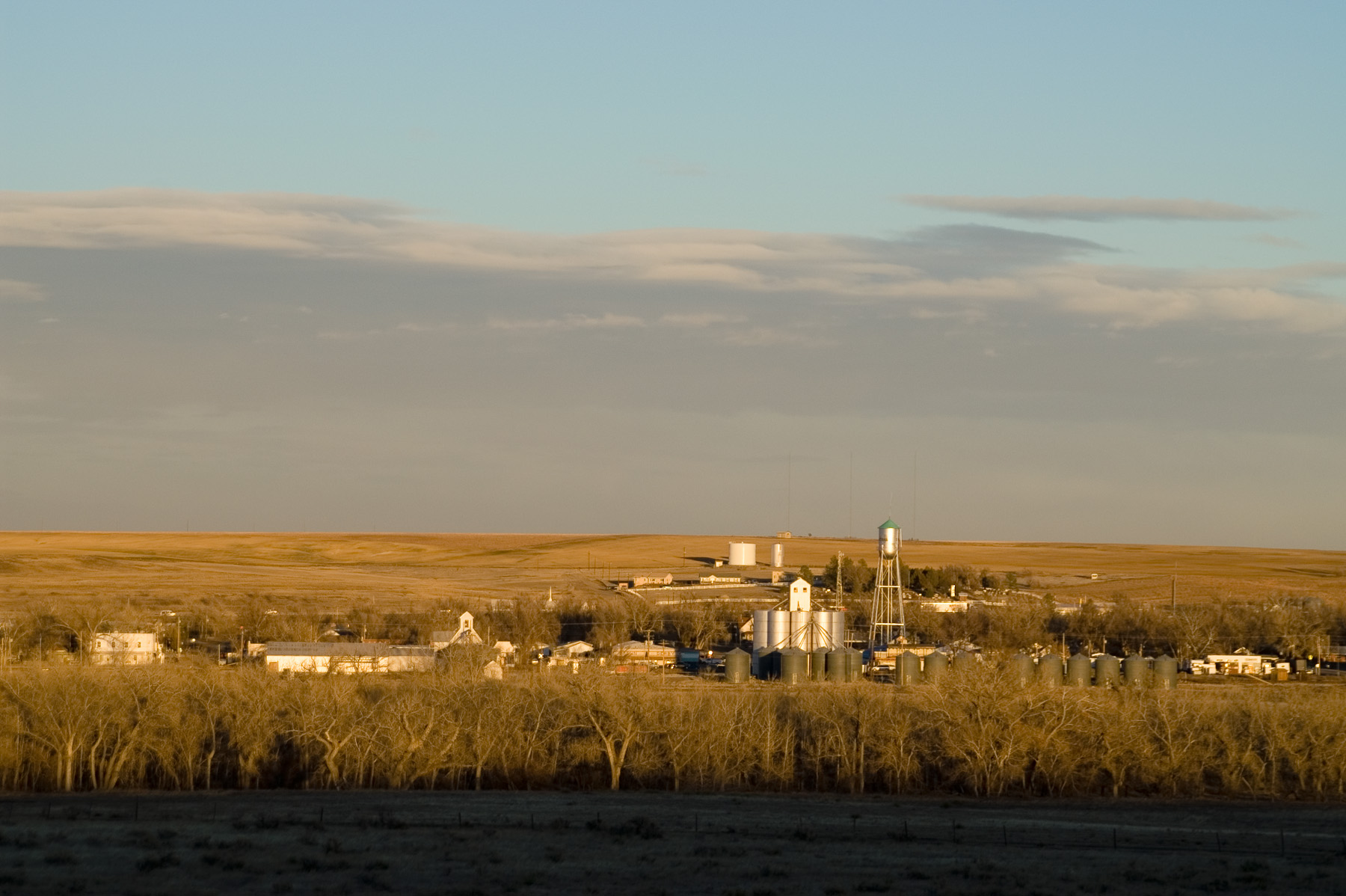
Grain Elevator Foundation - Deer Trail, CO
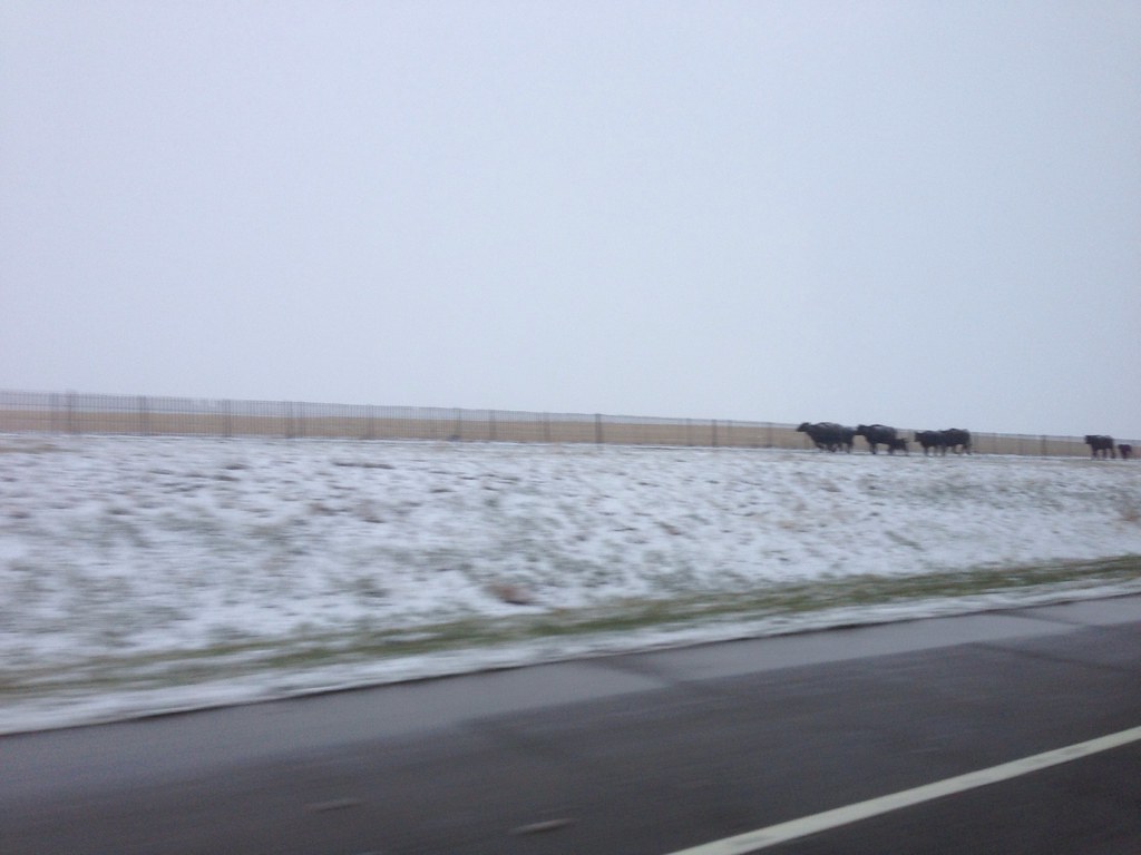
Run cows run, White out on I-70 Colorado
20160524-DET_4696
Topographic Map of Date St, Deer Trail, CO, USA
Find elevation by address:

Places near Date St, Deer Trail, CO, USA:
Deer Trail
1st Ave, Agate, CO, USA
Agate
Deer Trail, CO, USA
Co Rd B, Fort Morgan, CO, USA
US-36, Woodrow, CO, USA
Woodrow
County Rd E, Brush, CO, USA
Co Rd 16, Fort Morgan, CO, USA
Lamb
Trailside Drive
19377 Co Rd Q
Fort Morgan
431 Meeker St
104 Elm Dr
Log Lane Village
Oak St, Log Lane Village, CO, USA
102 Crest Dr
County Rd 20.5, Fort Morgan, CO, USA
US-34, Fort Morgan, CO, USA
Recent Searches:
- Elevation of Corso Fratelli Cairoli, 35, Macerata MC, Italy
- Elevation of Tallevast Rd, Sarasota, FL, USA
- Elevation of 4th St E, Sonoma, CA, USA
- Elevation of Black Hollow Rd, Pennsdale, PA, USA
- Elevation of Oakland Ave, Williamsport, PA, USA
- Elevation of Pedrógão Grande, Portugal
- Elevation of Klee Dr, Martinsburg, WV, USA
- Elevation of Via Roma, Pieranica CR, Italy
- Elevation of Tavkvetili Mountain, Georgia
- Elevation of Hartfords Bluff Cir, Mt Pleasant, SC, USA