Elevation map of Tumkur, Karnataka, India
Location: India > Karnataka >
Longitude: 76.6412712
Latitude: 13.3709627
Elevation: 848m / 2782feet
Barometric Pressure: 92KPa
Elevation Map:
Satellite Map:
Related Photos:

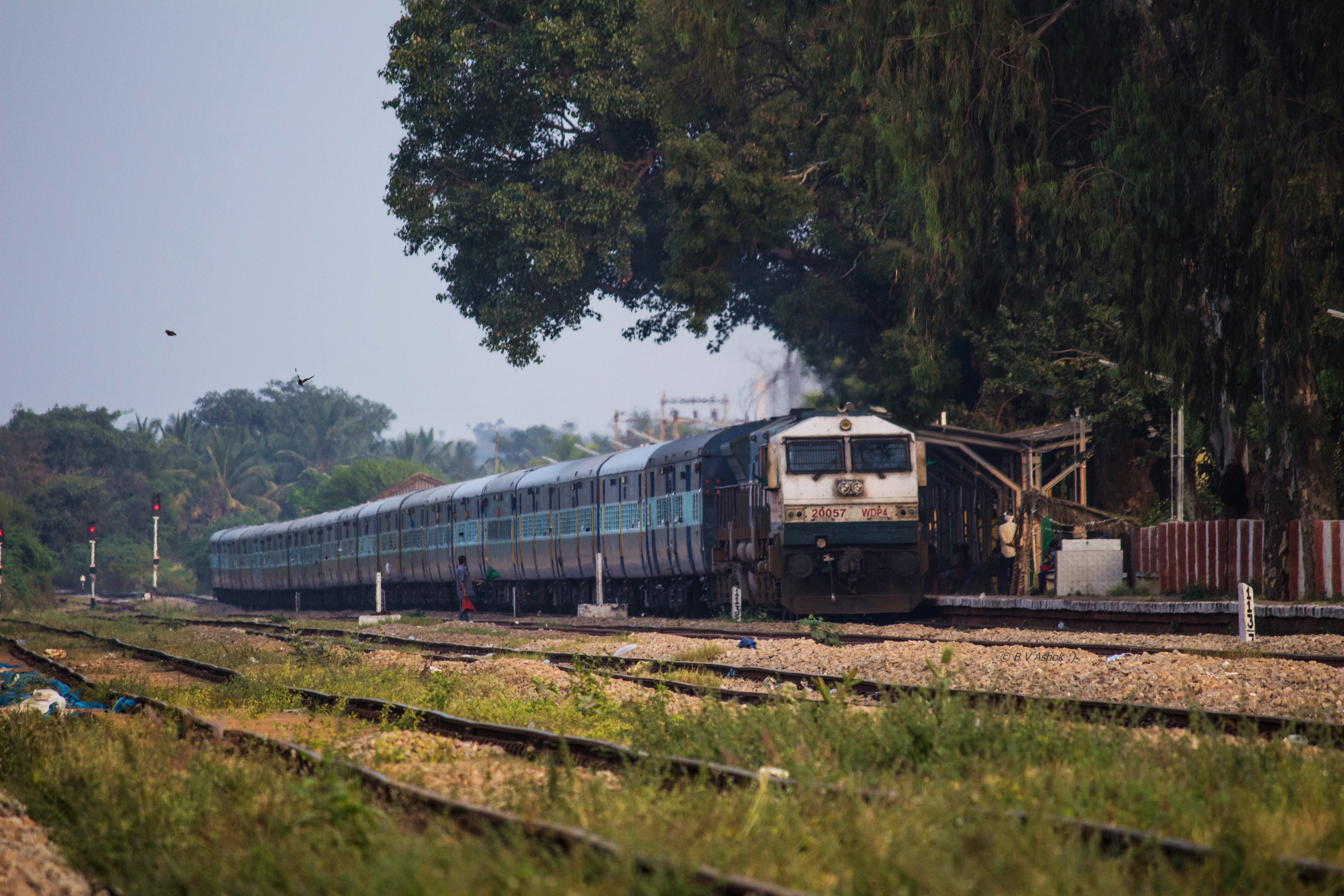
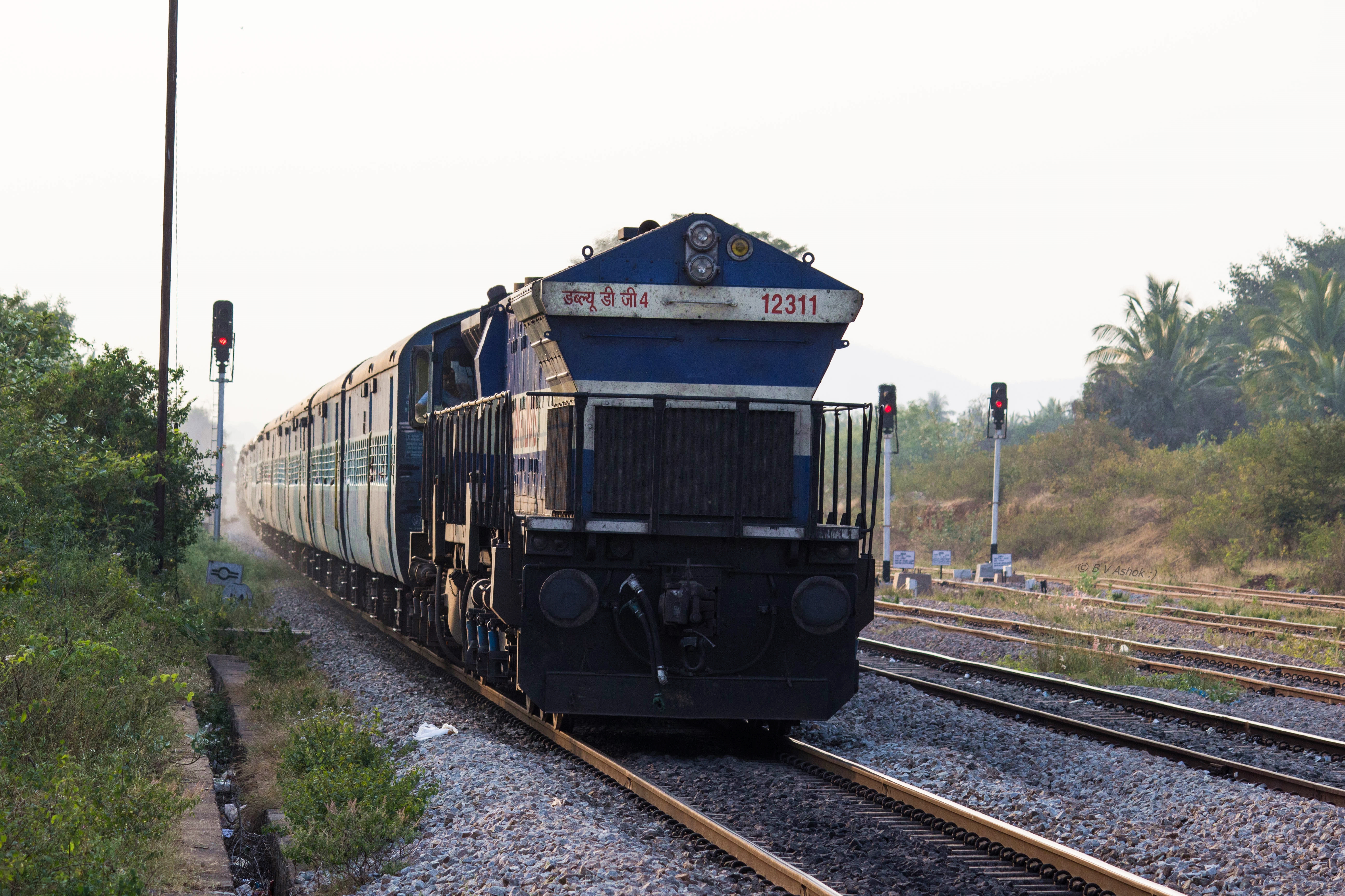
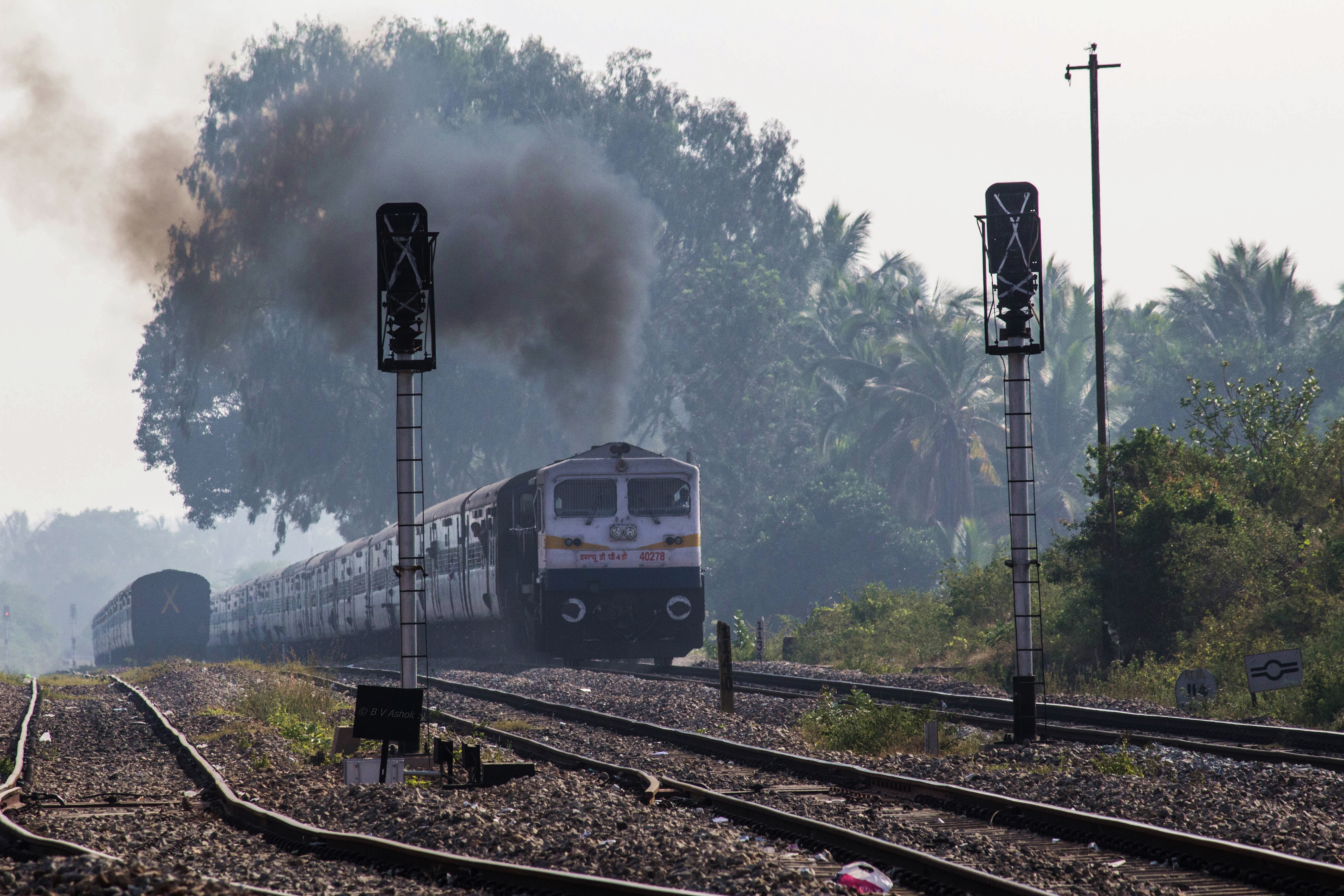
Chalukya Exp.
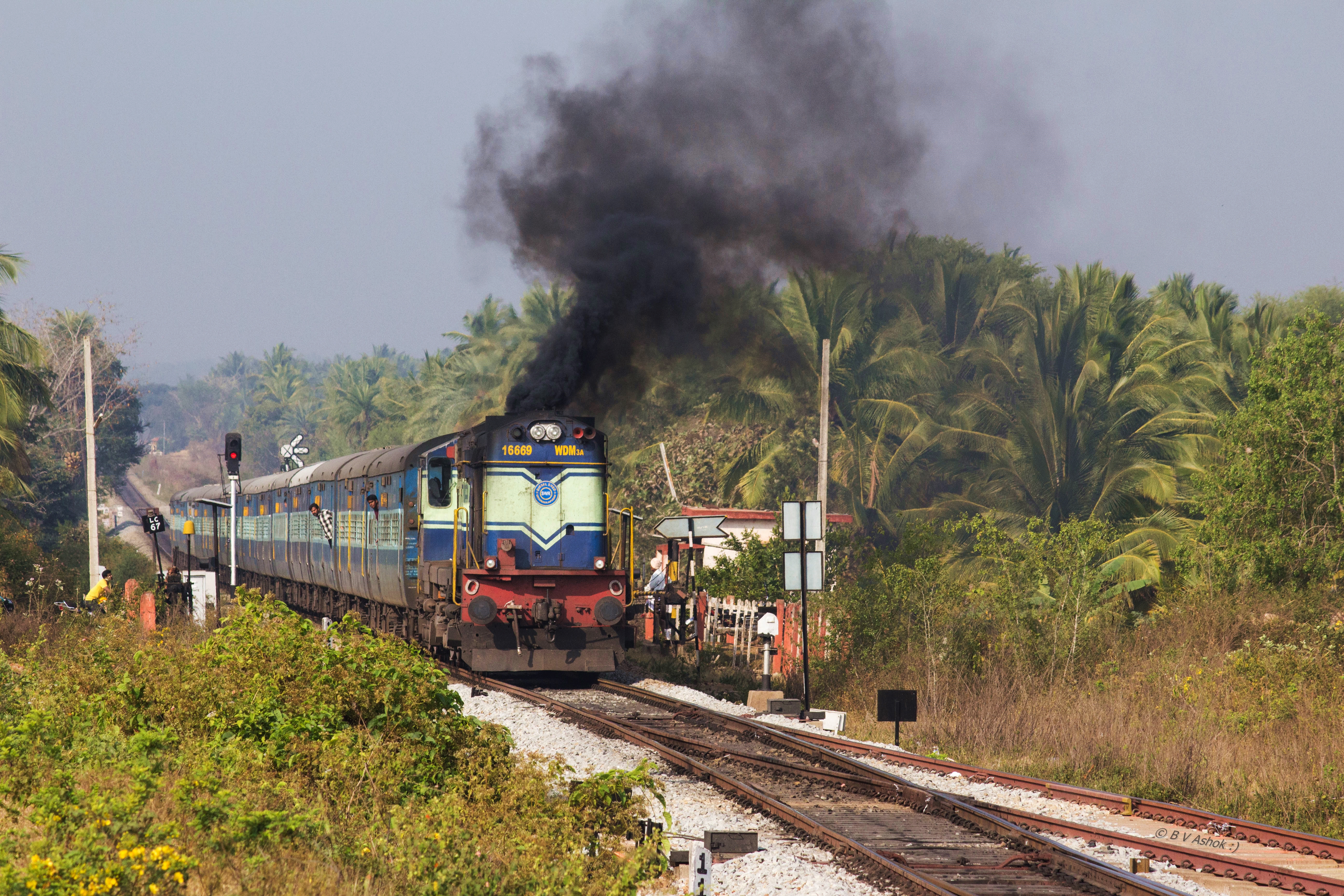
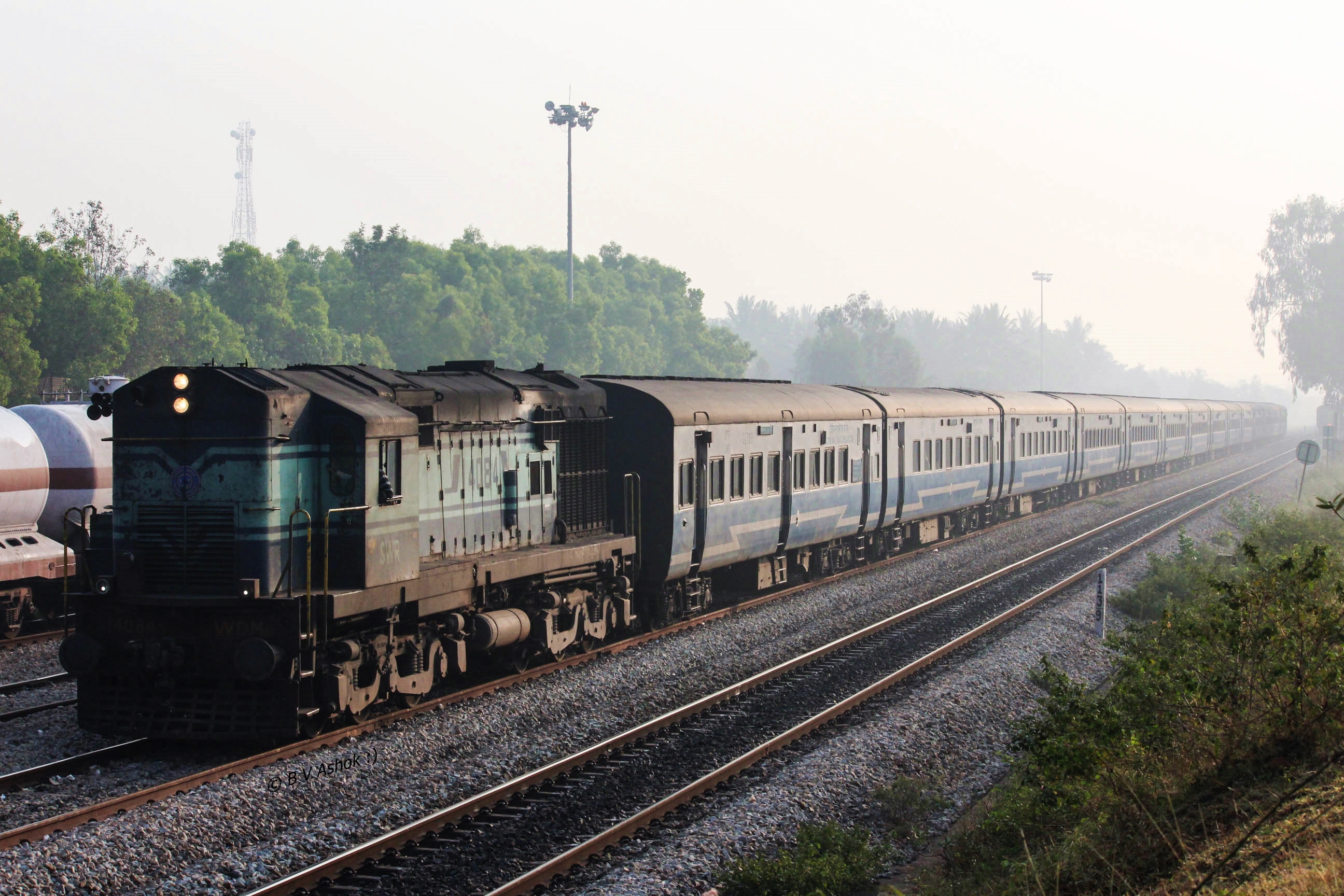
SBC - SMET ICE
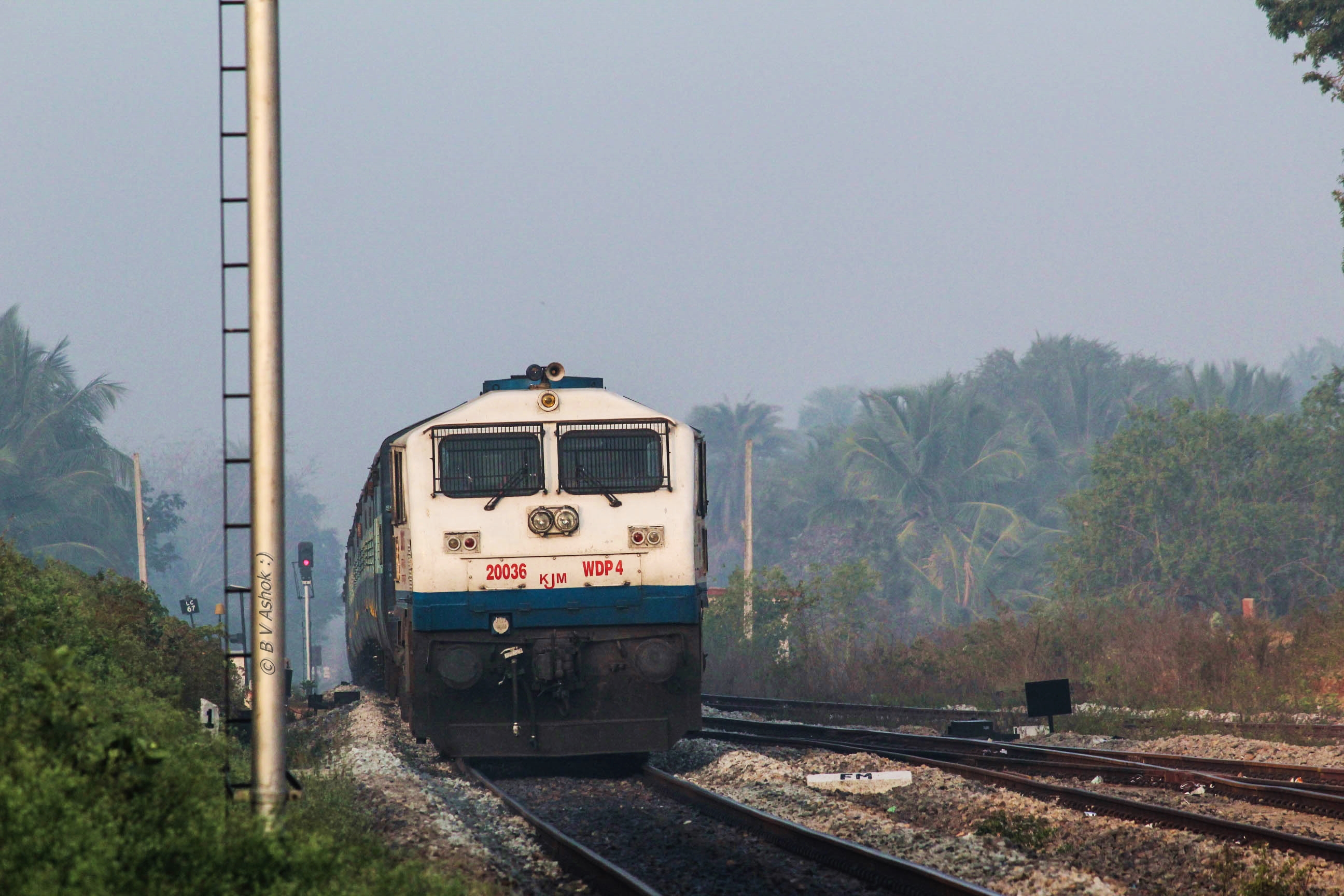
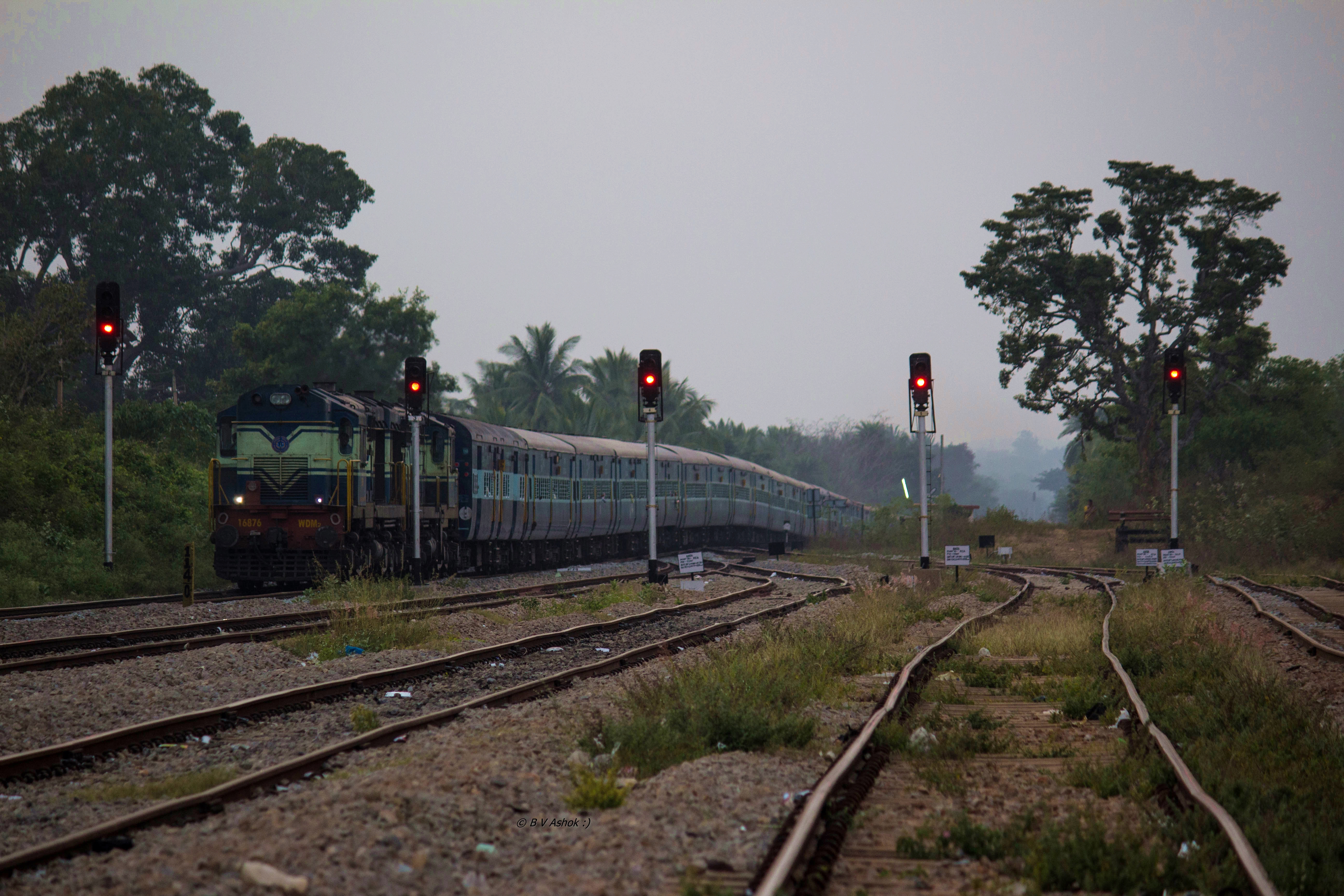
HRR - YPR ICE

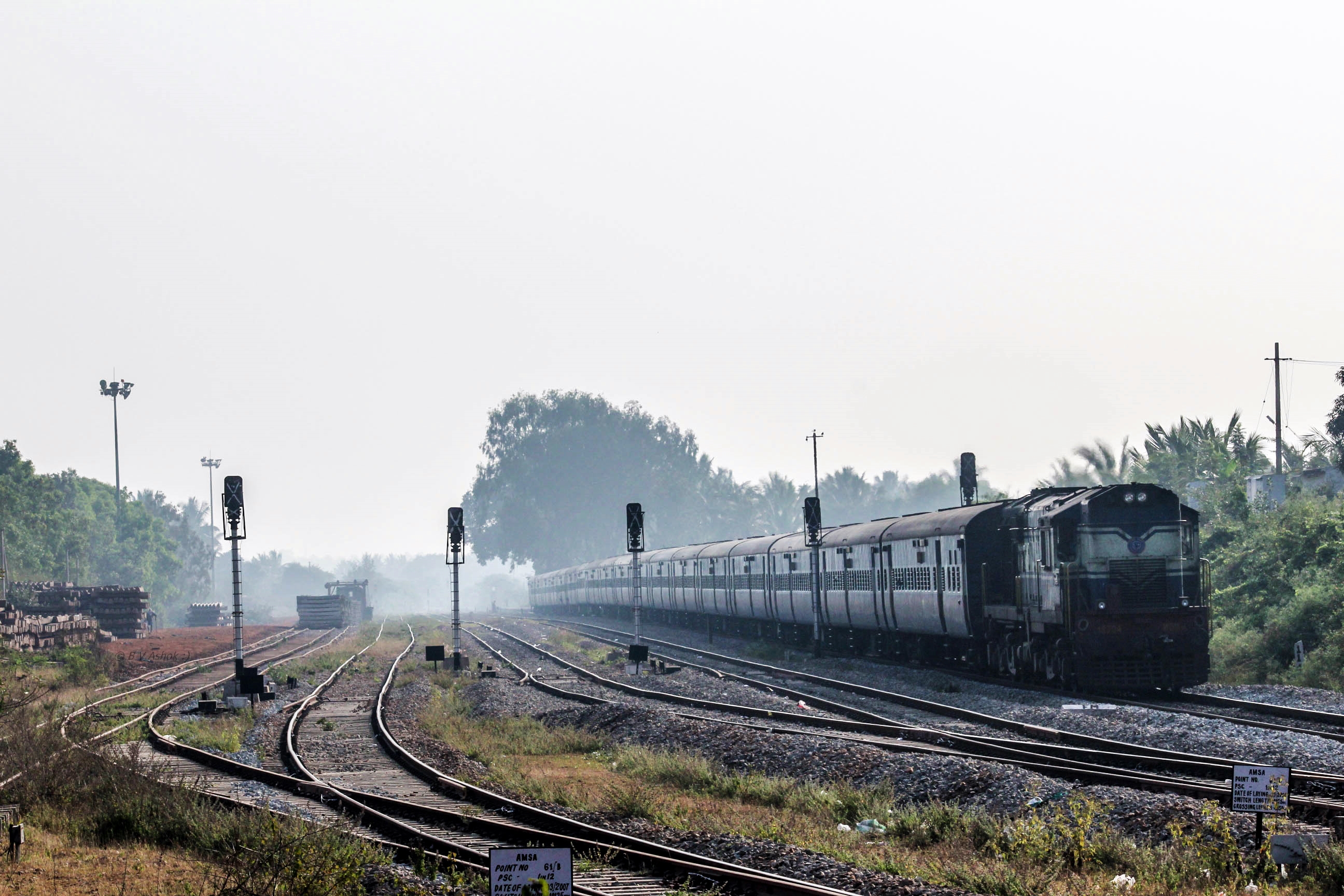
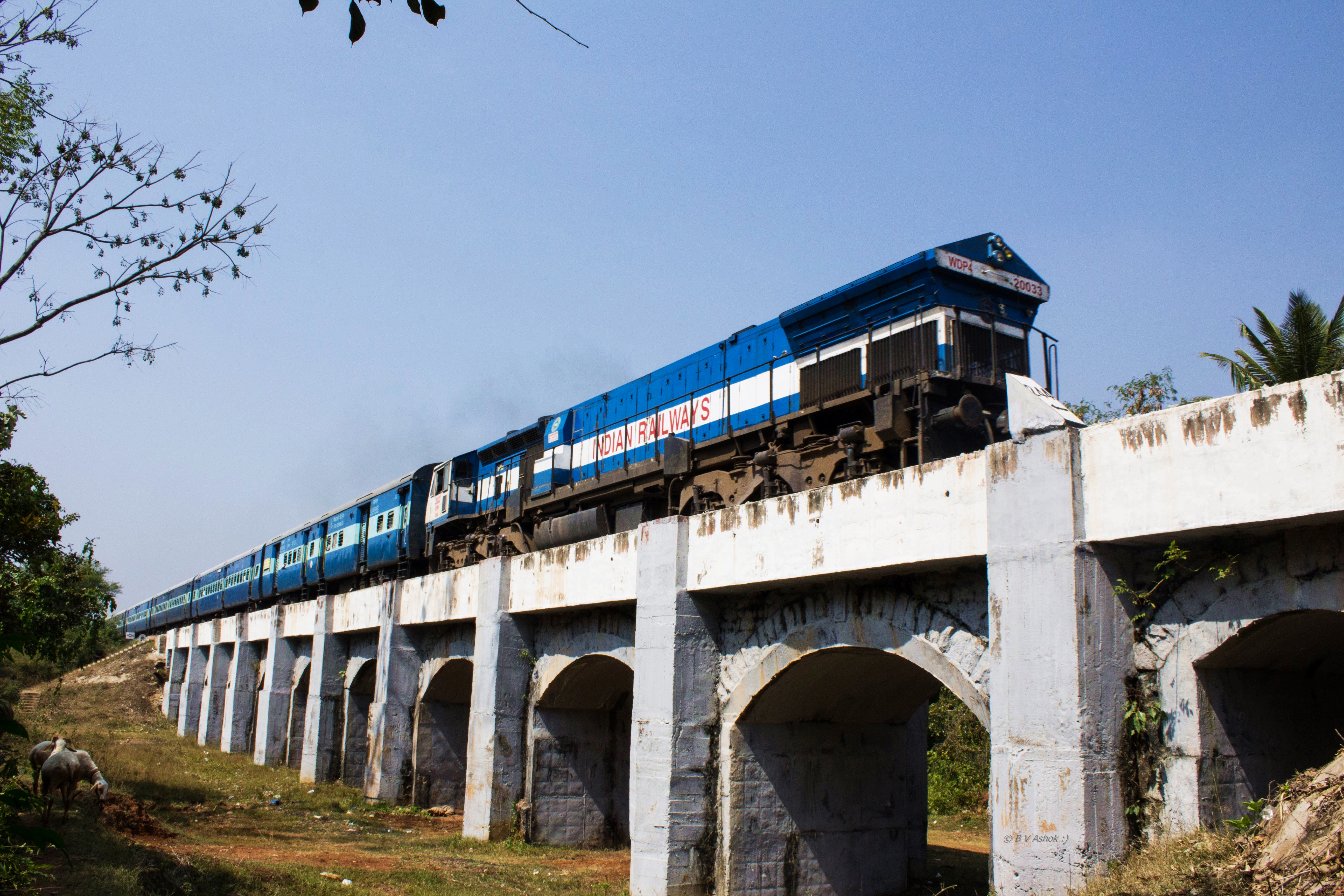
SMET - SBC ICE
SMET SBC Pass.
YPR - KAWR ICE
UBL - SBC Pass.
SBC - UBL Janshatabdi SF
UBL - SBC FP
Siddhaganga SF
SBC - UBL FP
YPR - CMGR FP
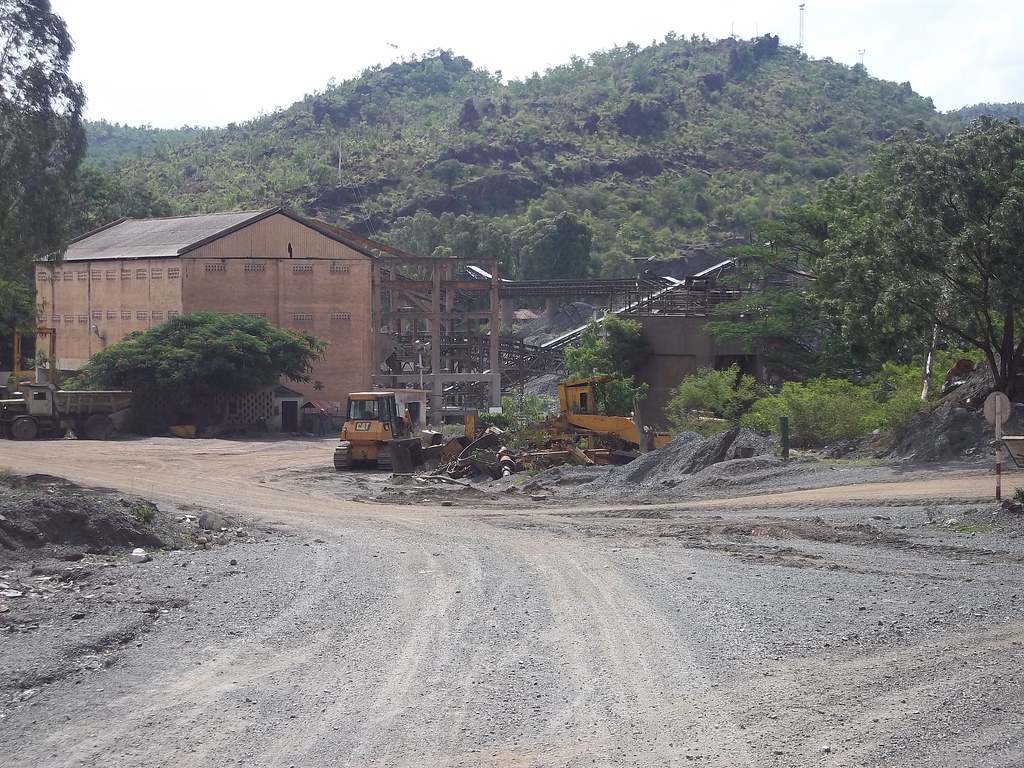
Limestone Quarry

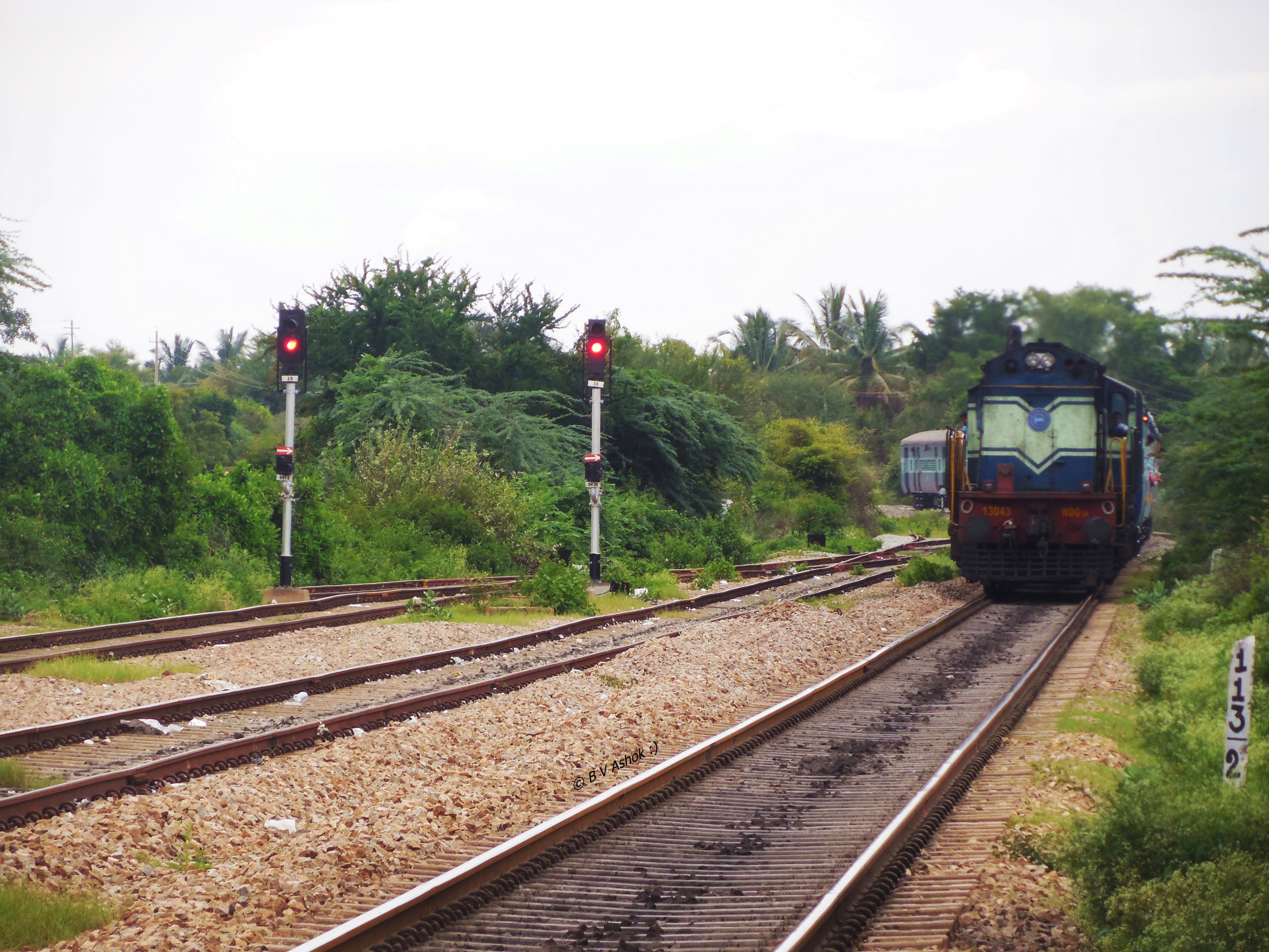
We stop for none!

beautiful clouds near tumkur
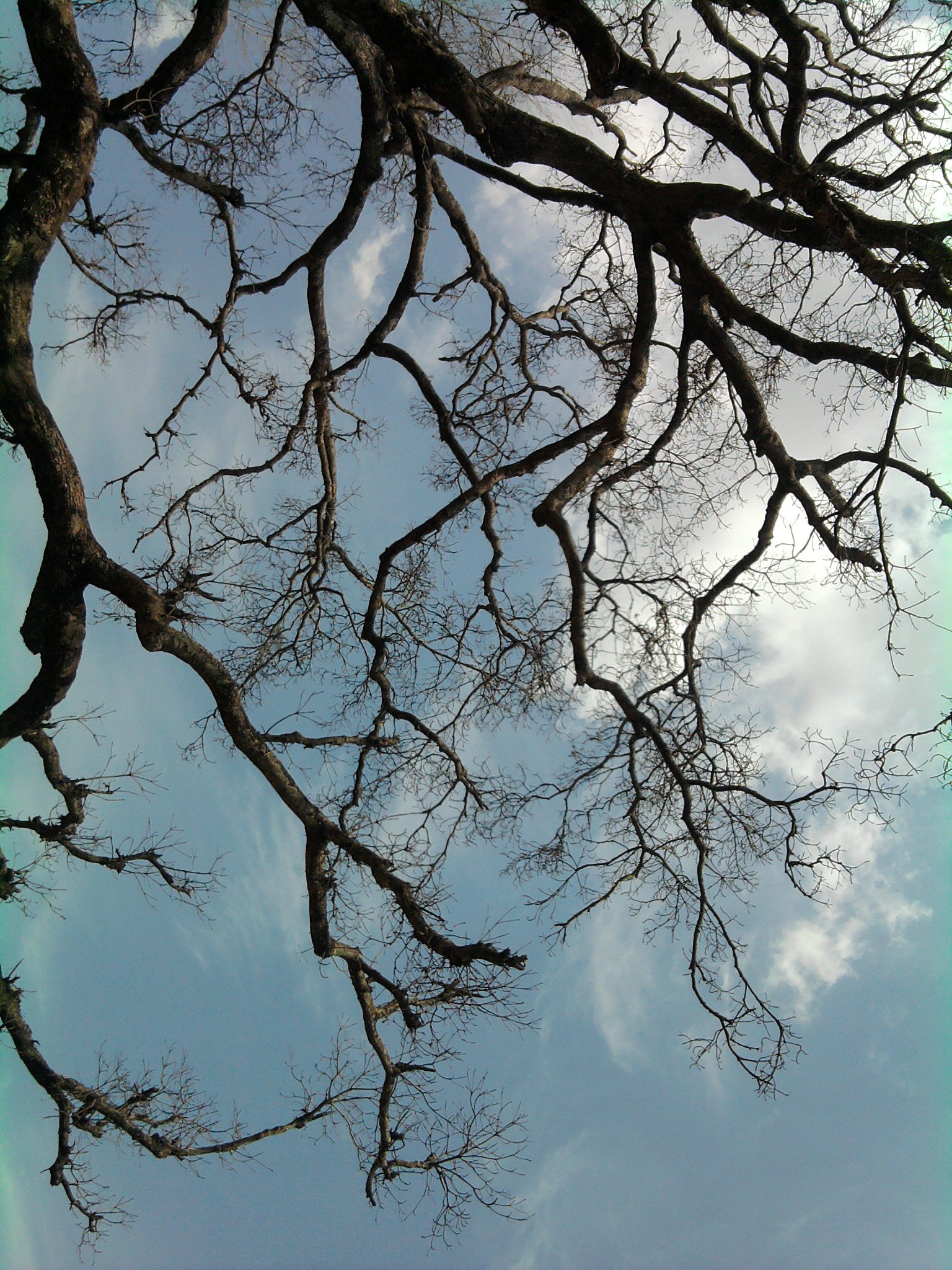
tree silhoutte
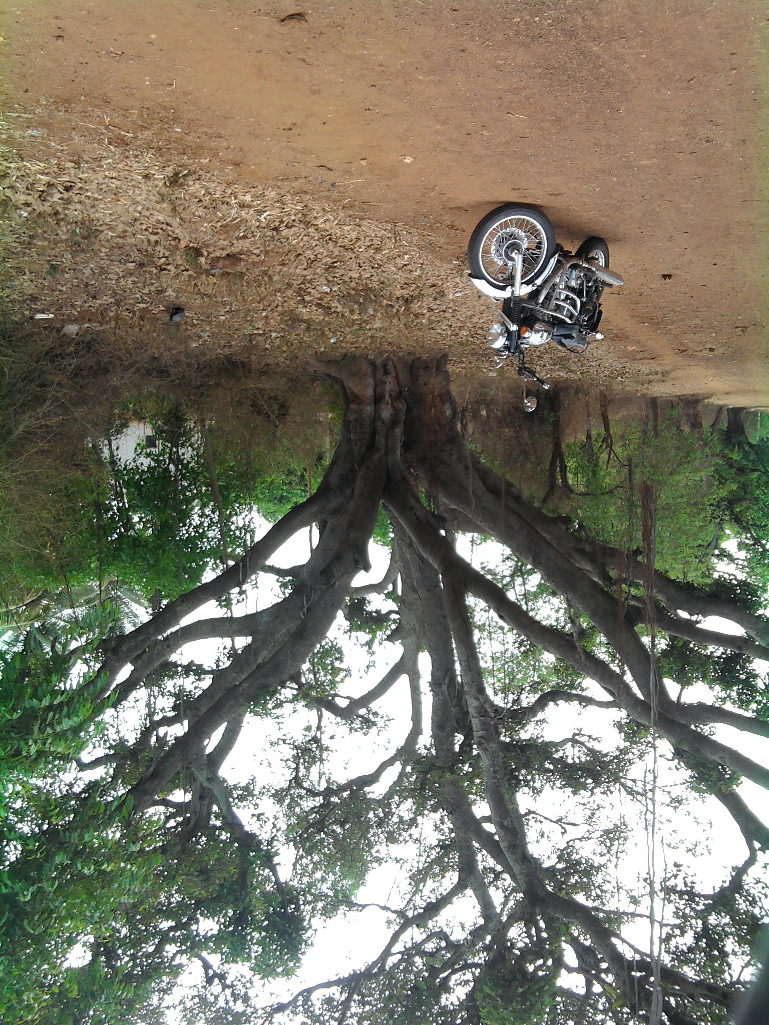
bike pose
Topographic Map of Tumkur, Karnataka, India
Find elevation by address:

Places in Tumkur, Karnataka, India:
Places near Tumkur, Karnataka, India:
Halepalya
Tiptur
Tiptur
Mayasandra
Sriramanuja Residency
Bangalore Division
Shreerampura Road
Shreerampura Road
Shreerampura Road
Kanchipura
Arsikere
Bellur Cross
Sadashivanagar
Sira
Tumakuru
Bommanahalli
Channarayapattana
Bengaluru - Mangaluru Highway
Shravanbela Gola (rural)
Hassan
Recent Searches:
- Elevation of Corso Fratelli Cairoli, 35, Macerata MC, Italy
- Elevation of Tallevast Rd, Sarasota, FL, USA
- Elevation of 4th St E, Sonoma, CA, USA
- Elevation of Black Hollow Rd, Pennsdale, PA, USA
- Elevation of Oakland Ave, Williamsport, PA, USA
- Elevation of Pedrógão Grande, Portugal
- Elevation of Klee Dr, Martinsburg, WV, USA
- Elevation of Via Roma, Pieranica CR, Italy
- Elevation of Tavkvetili Mountain, Georgia
- Elevation of Hartfords Bluff Cir, Mt Pleasant, SC, USA