Elevation of Madhugiri, Karnataka, India
Location: India > Karnataka > Tumkur >
Longitude: 77.2088987
Latitude: 13.6643166
Elevation: 763m / 2503feet
Barometric Pressure: 92KPa
Elevation Map:
Satellite Map:
Related Photos:

View from Madhugiri fort
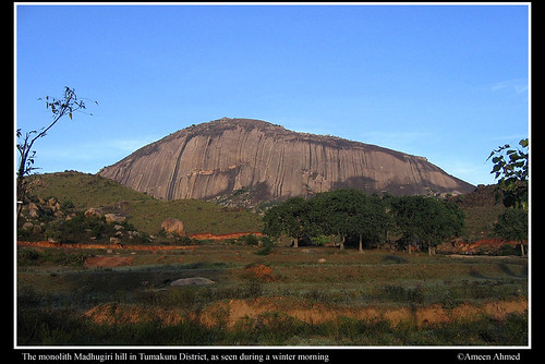
Monolith wonder
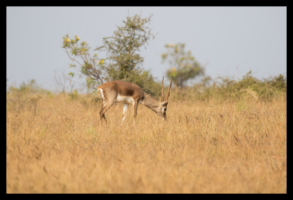
Black buck
Day 198: Catch of the Day #project365

Day 80 : Lighting Up the Night #project365 #WithTheWife

Stones in Macro
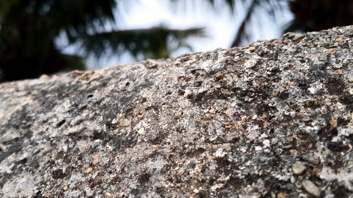
Stones in Macro

Stones in Macro
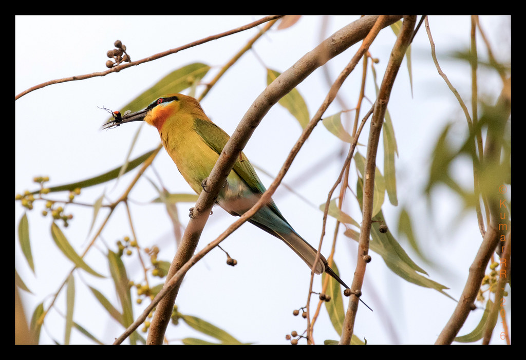
Blue tailed Bee-eater
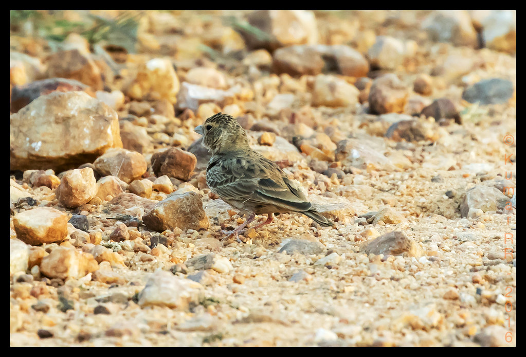
Mrs Sparrow Lark
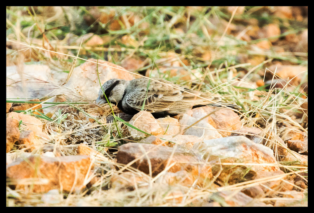
Sparrow Lark
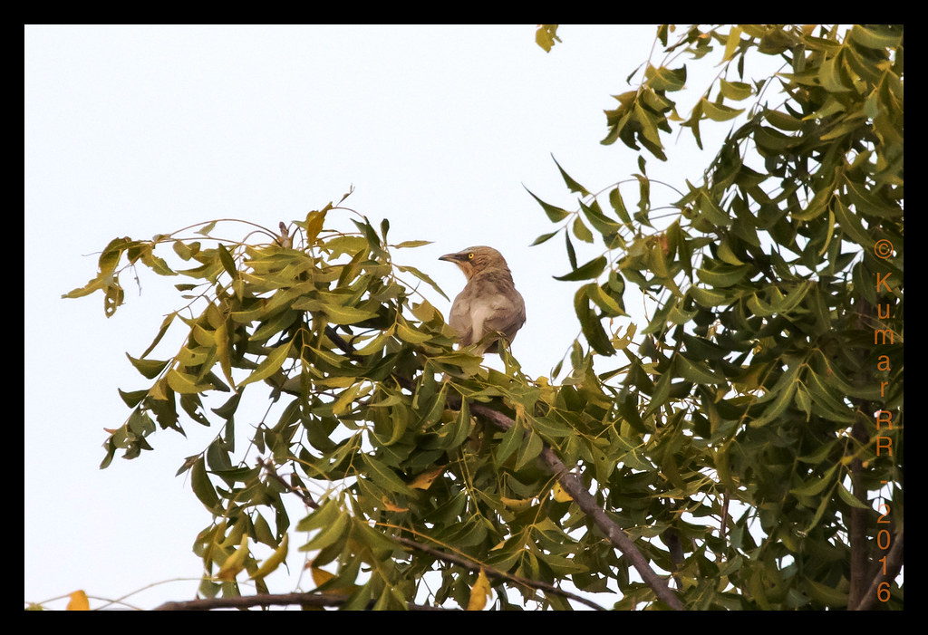
Large Grey Babbler
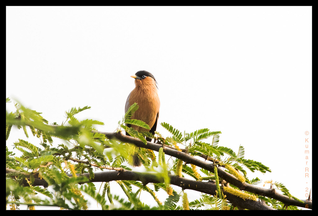
Brahminy Starling

White Throat

Black buck

White throat
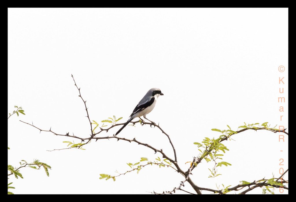
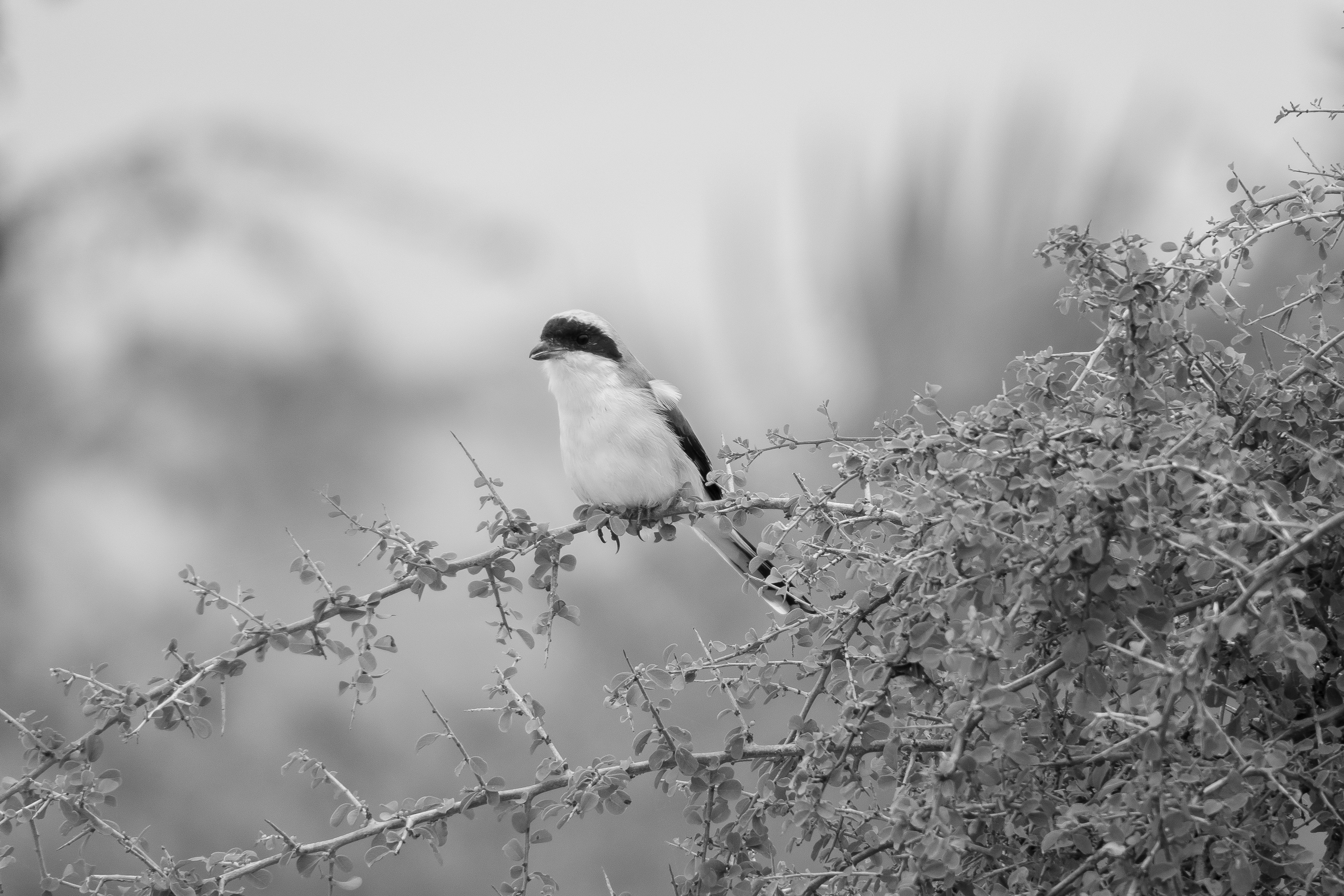
Grey Shrike

Black Buck
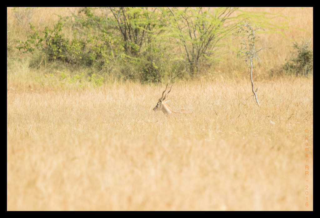
Black buck

Sunbird Purple
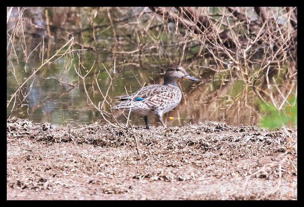
Common Teal
Bay Backed Shrike
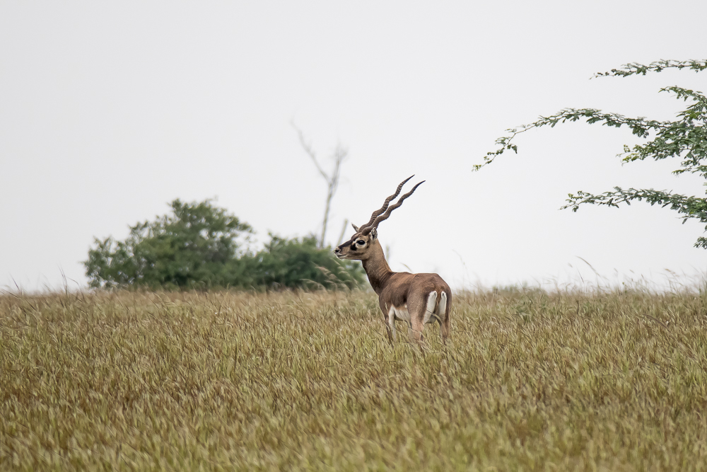
Black Buck
Topographic Map of Madhugiri, Karnataka, India
Find elevation by address:

Places near Madhugiri, Karnataka, India:
Koratagere
Bommanahalli
Sira
Tumakuru
Sadashivanagar
Deccan
Obalapura
Shivagange
Bangalore Division
Tumkur
Hiriyur
Mayasandra
Shreerampura Road
Shreerampura Road
Shreerampura Road
Kanchipura
Sriramanuja Residency
Savandurga Hill
Savandurga Fort
Savanadurga State Forest
Recent Searches:
- Elevation of Corso Fratelli Cairoli, 35, Macerata MC, Italy
- Elevation of Tallevast Rd, Sarasota, FL, USA
- Elevation of 4th St E, Sonoma, CA, USA
- Elevation of Black Hollow Rd, Pennsdale, PA, USA
- Elevation of Oakland Ave, Williamsport, PA, USA
- Elevation of Pedrógão Grande, Portugal
- Elevation of Klee Dr, Martinsburg, WV, USA
- Elevation of Via Roma, Pieranica CR, Italy
- Elevation of Tavkvetili Mountain, Georgia
- Elevation of Hartfords Bluff Cir, Mt Pleasant, SC, USA