Elevation of Hiriyur, Karnataka, India
Location: India > Karnataka > Chitradurga >
Longitude: 76.6160733
Latitude: 13.9438209
Elevation: 608m / 1995feet
Barometric Pressure: 94KPa
Elevation Map:
Satellite Map:
Related Photos:
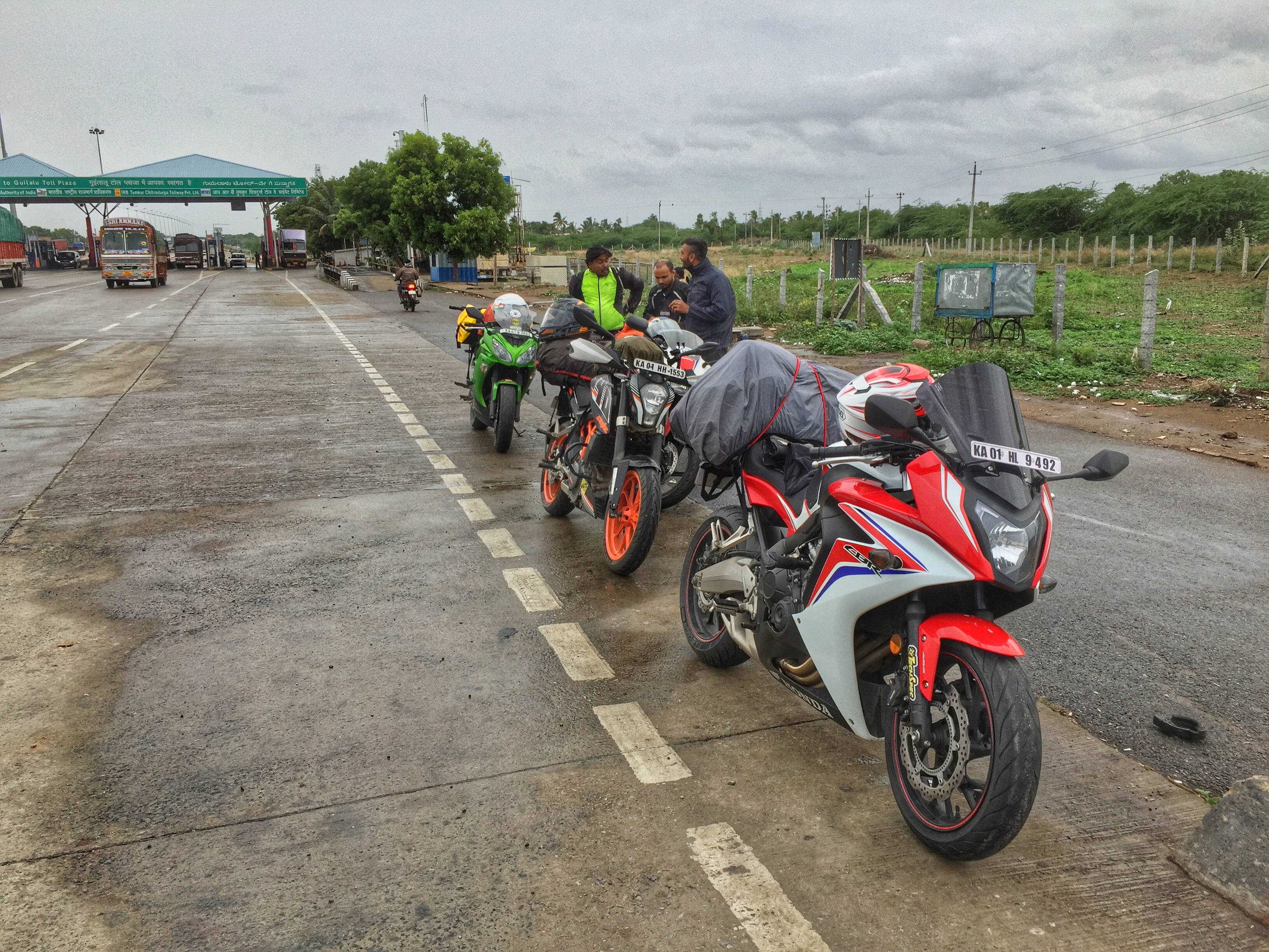
Day 0: First Pit stop
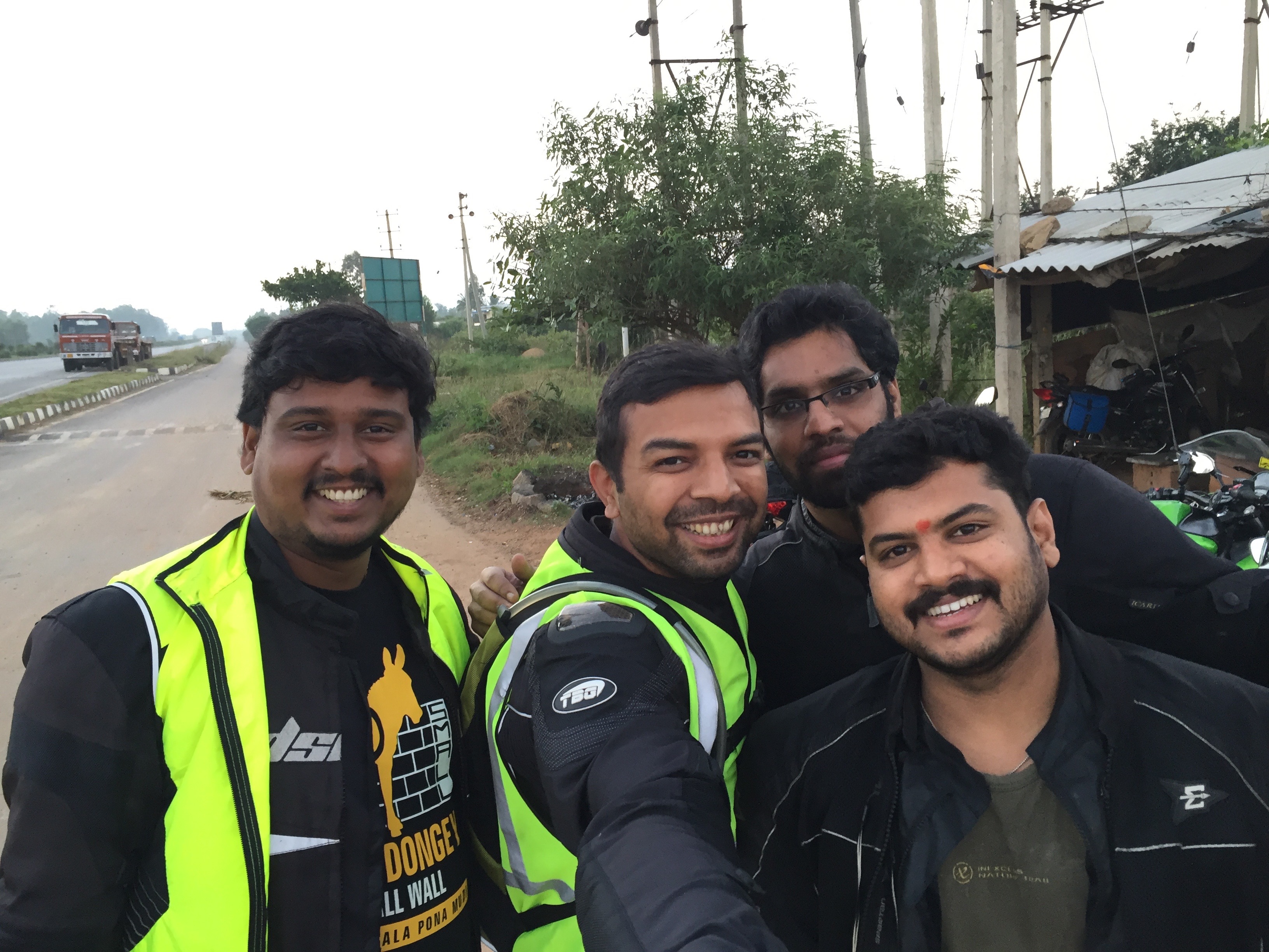
Selfie Time
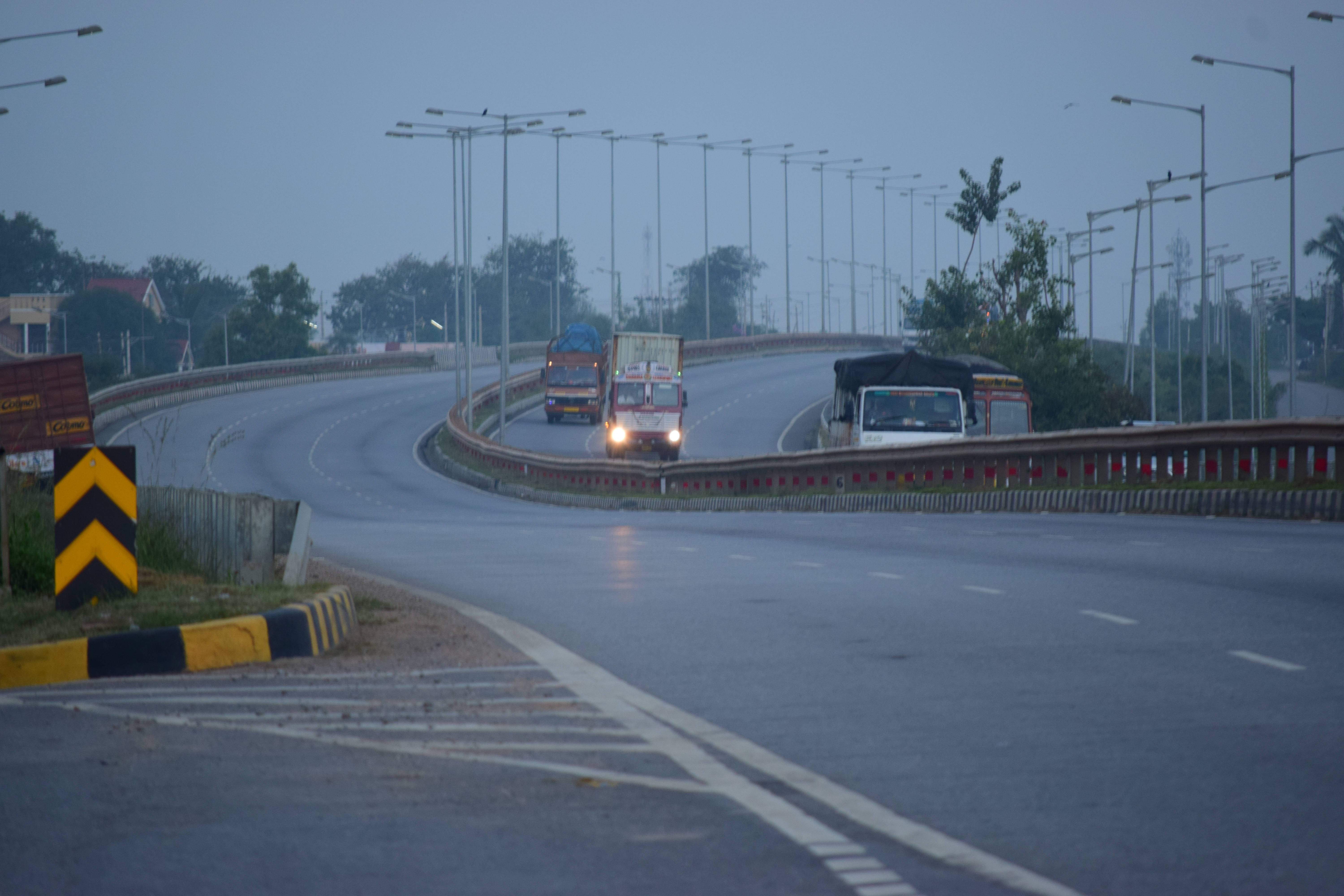
Morning Traffic
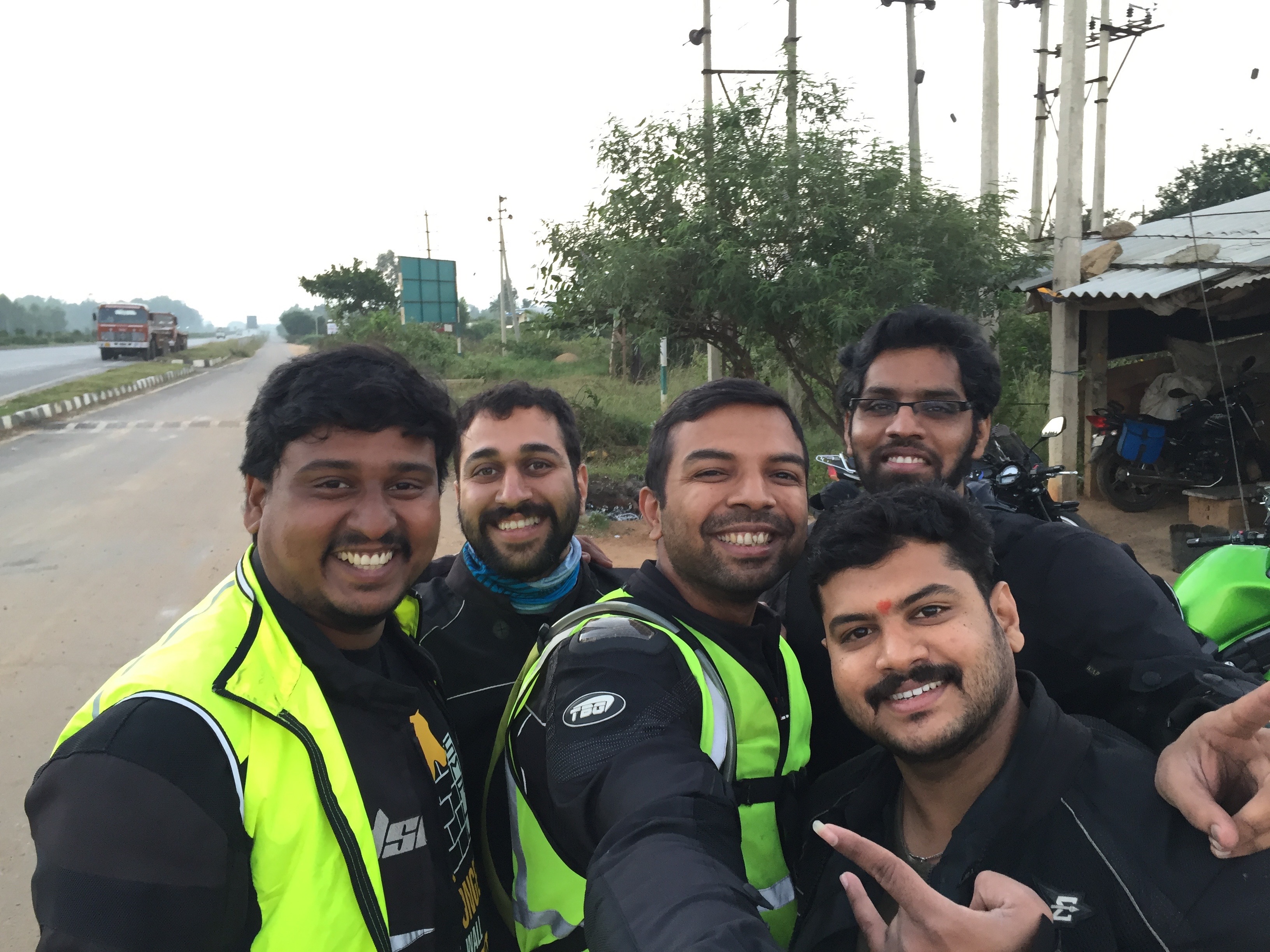
Selfie Time
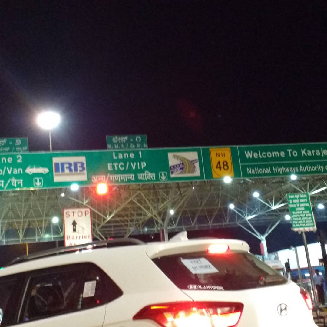
A toll lane dedicated for #VIP vehicles. Whereas other poor souls have to struggle around #vipculture
Topographic Map of Hiriyur, Karnataka, India
Find elevation by address:

Places near Hiriyur, Karnataka, India:
Bangalore Division
Kanchipura
Shreerampura Road
Shreerampura Road
Shreerampura Road
Sira
Hosadurga
Deccan
Holalkere
Tumkur
Madhugiri
Halepalya
Tiptur
Tiptur
Kadur
Bommanahalli
Arsikere
Koratagere
Sadashivanagar
Tumakuru
Recent Searches:
- Elevation of Corso Fratelli Cairoli, 35, Macerata MC, Italy
- Elevation of Tallevast Rd, Sarasota, FL, USA
- Elevation of 4th St E, Sonoma, CA, USA
- Elevation of Black Hollow Rd, Pennsdale, PA, USA
- Elevation of Oakland Ave, Williamsport, PA, USA
- Elevation of Pedrógão Grande, Portugal
- Elevation of Klee Dr, Martinsburg, WV, USA
- Elevation of Via Roma, Pieranica CR, Italy
- Elevation of Tavkvetili Mountain, Georgia
- Elevation of Hartfords Bluff Cir, Mt Pleasant, SC, USA