Elevation of Arsikere, Karnataka, India
Location: India > Karnataka > Hassan >
Longitude: 76.2537052
Latitude: 13.3104549
Elevation: 820m / 2690feet
Barometric Pressure: 92KPa
Elevation Map:
Satellite Map:
Related Photos:
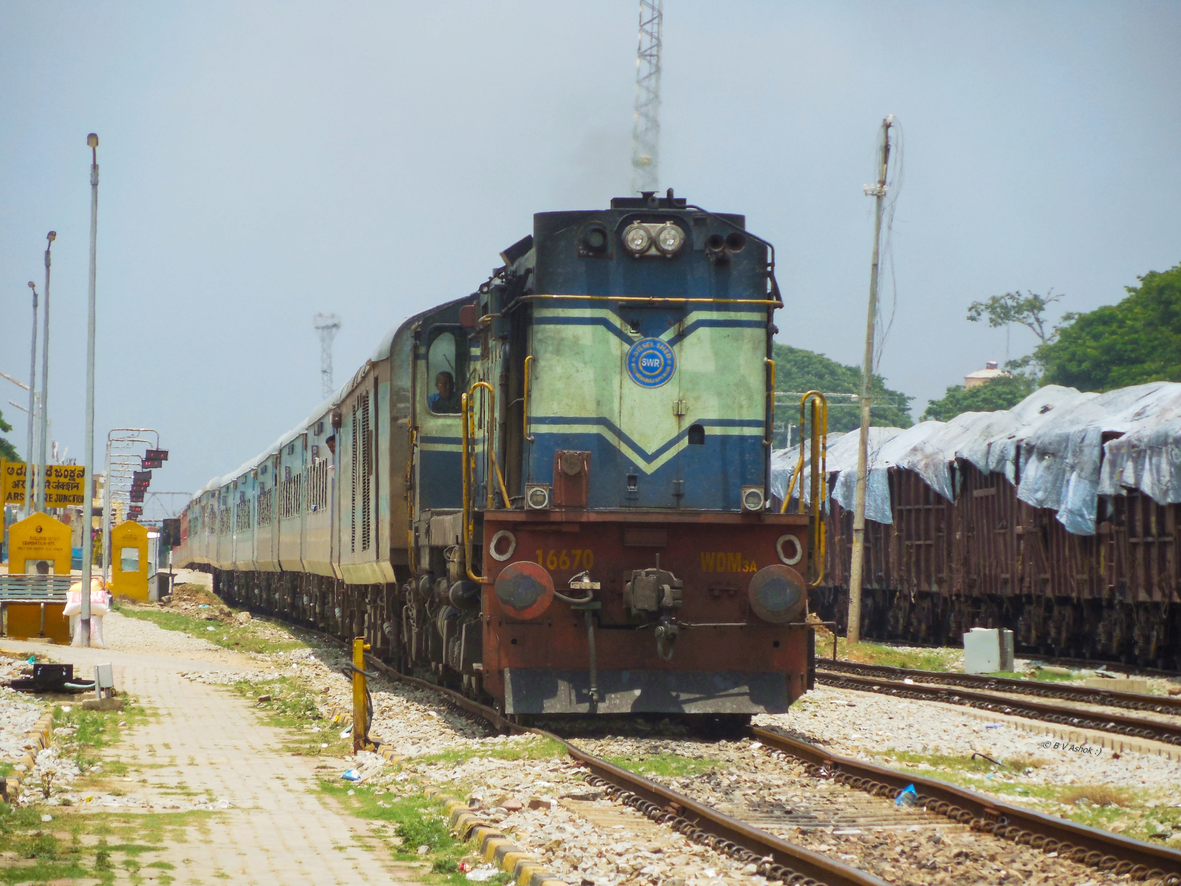
YPR - SMET ICE
SMET - MYS FP
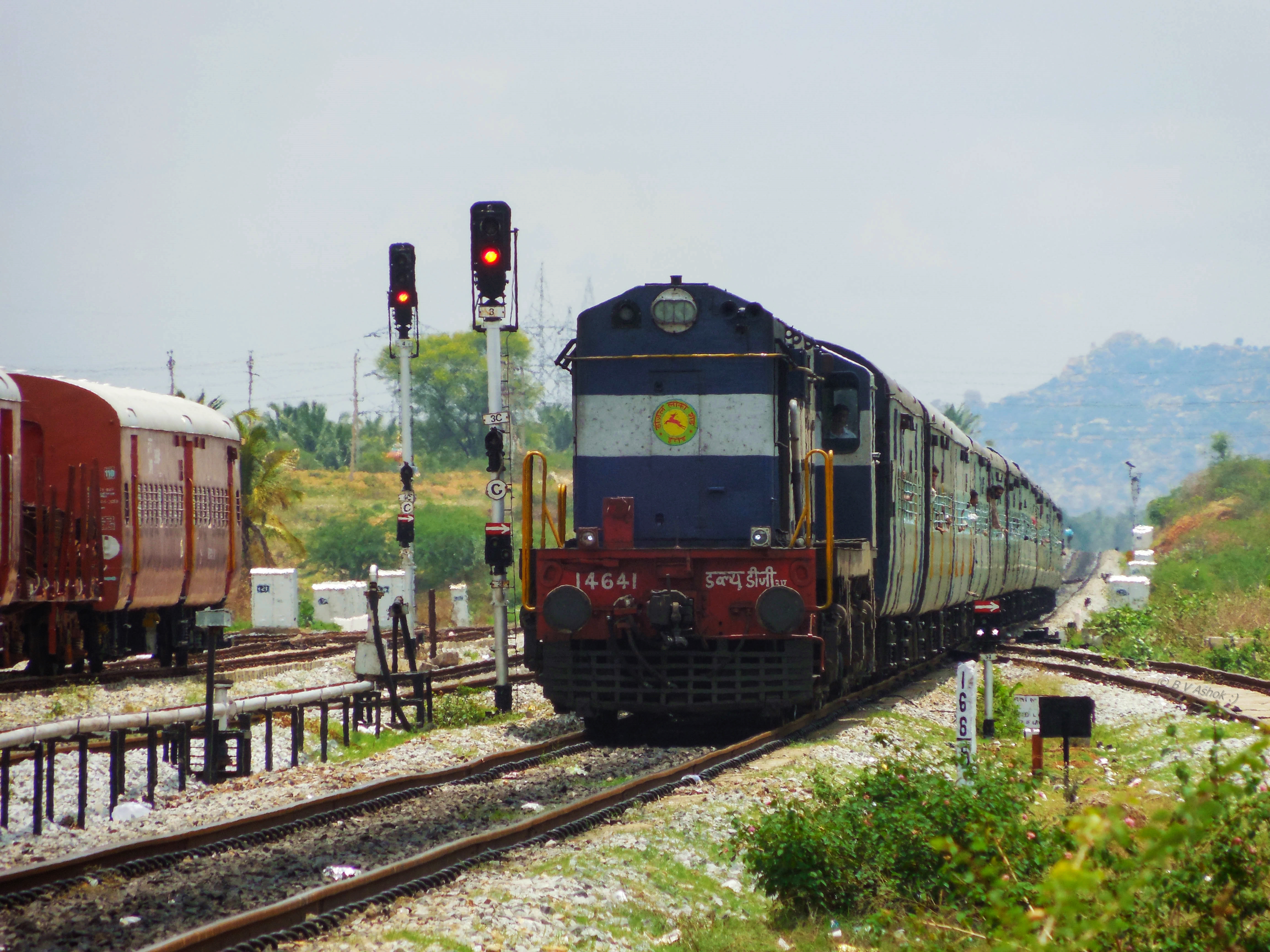
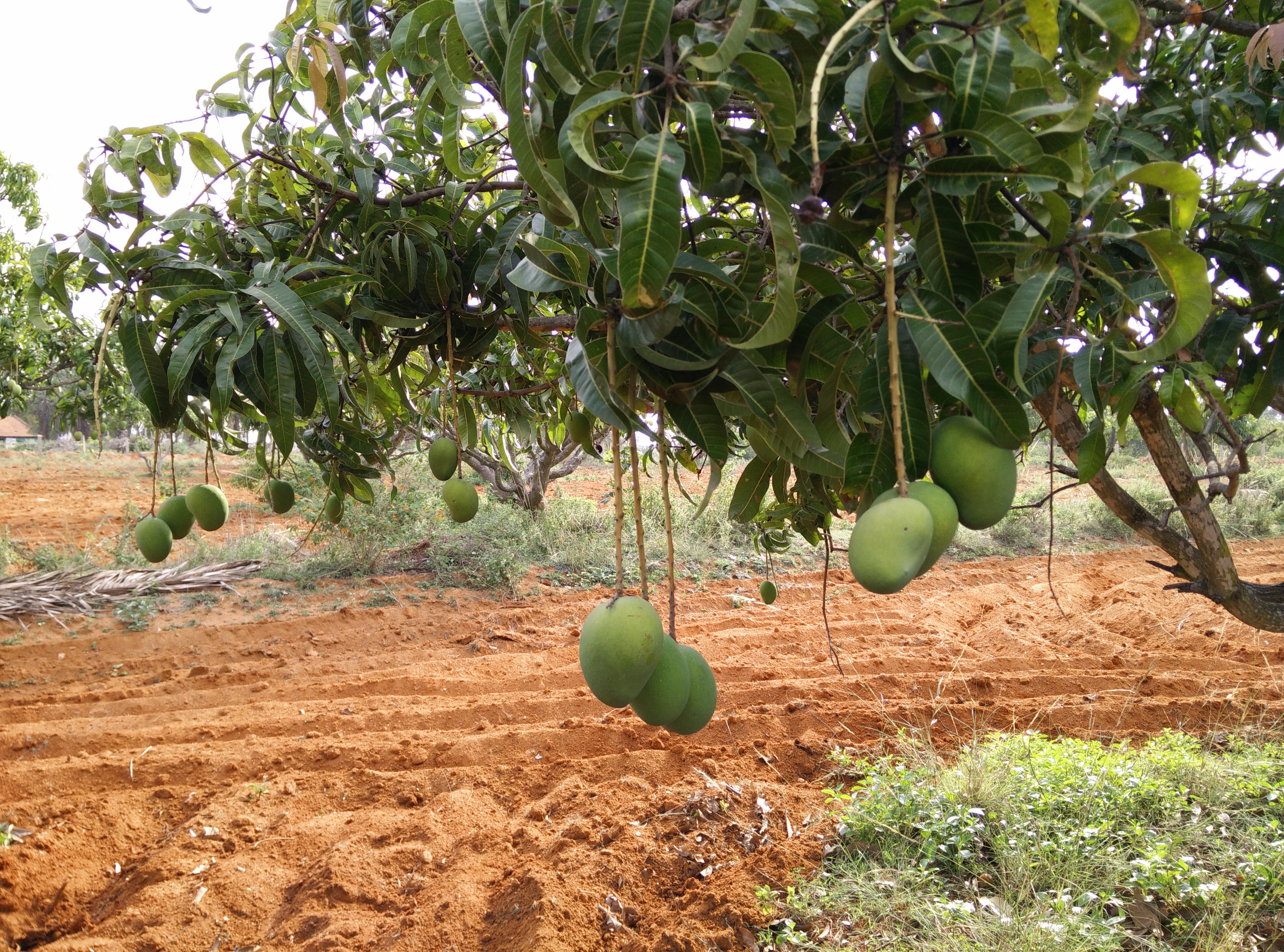
Trip to Banavara
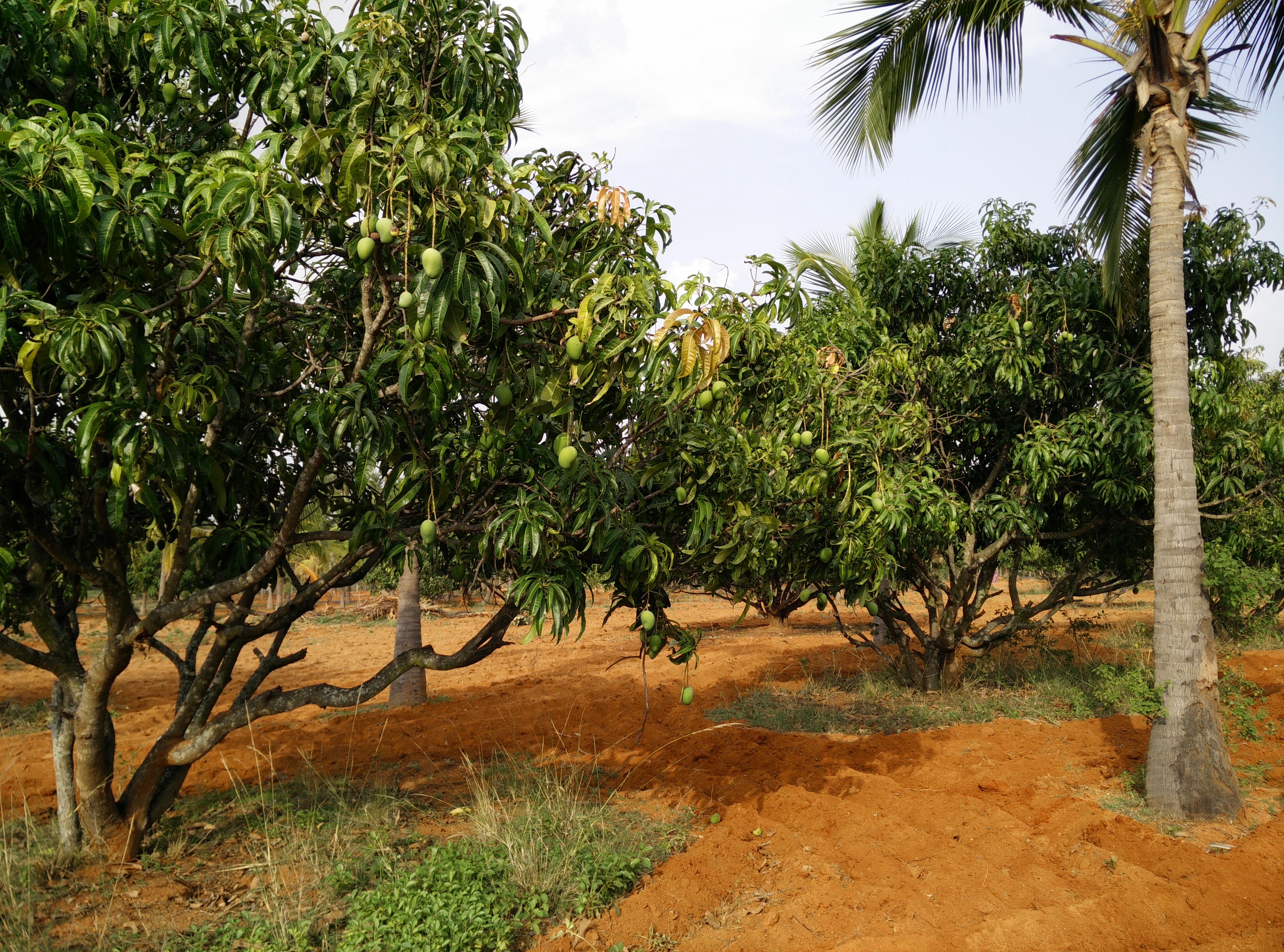
Trip to Banavara
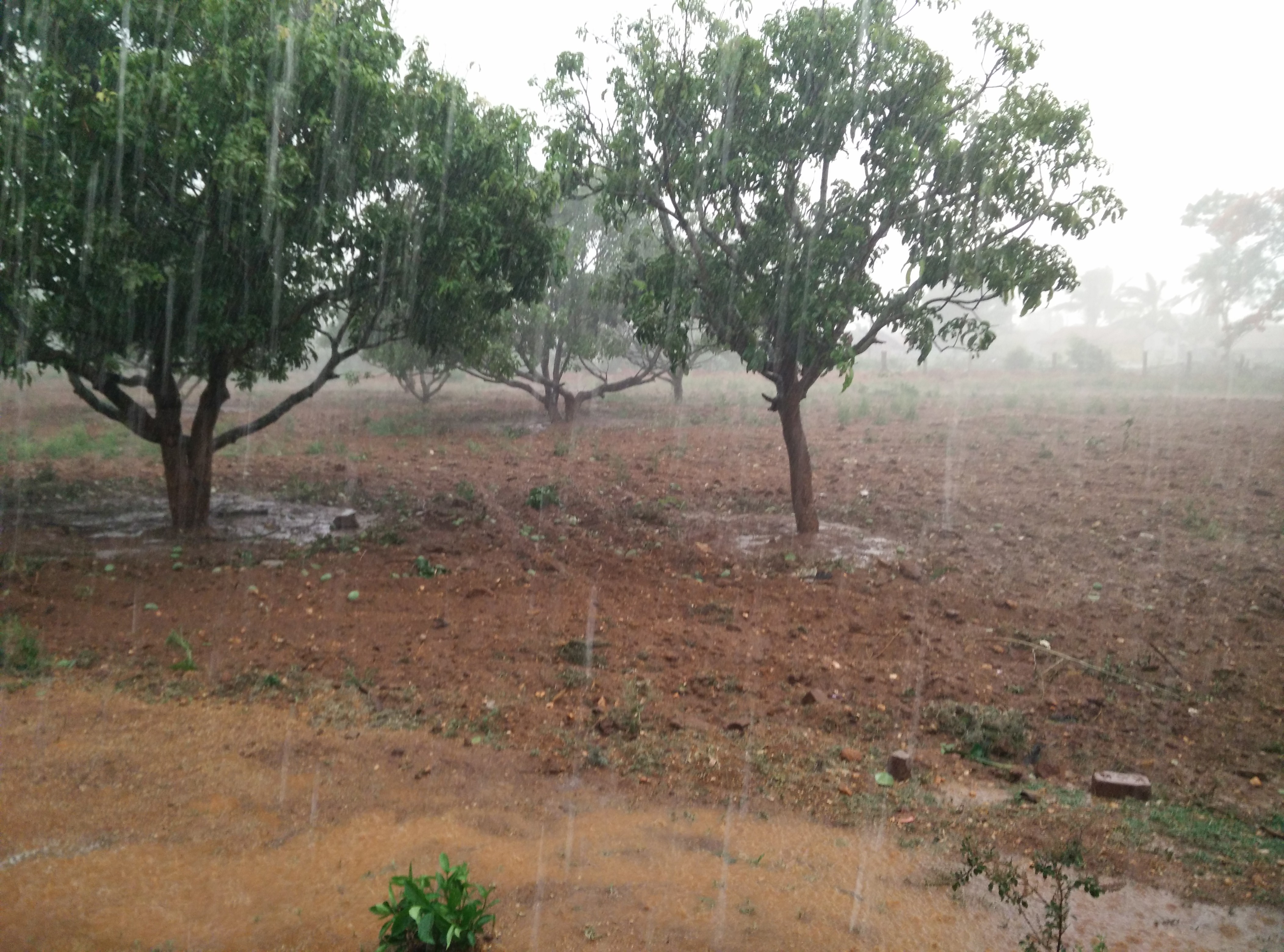
Trip to Banavara

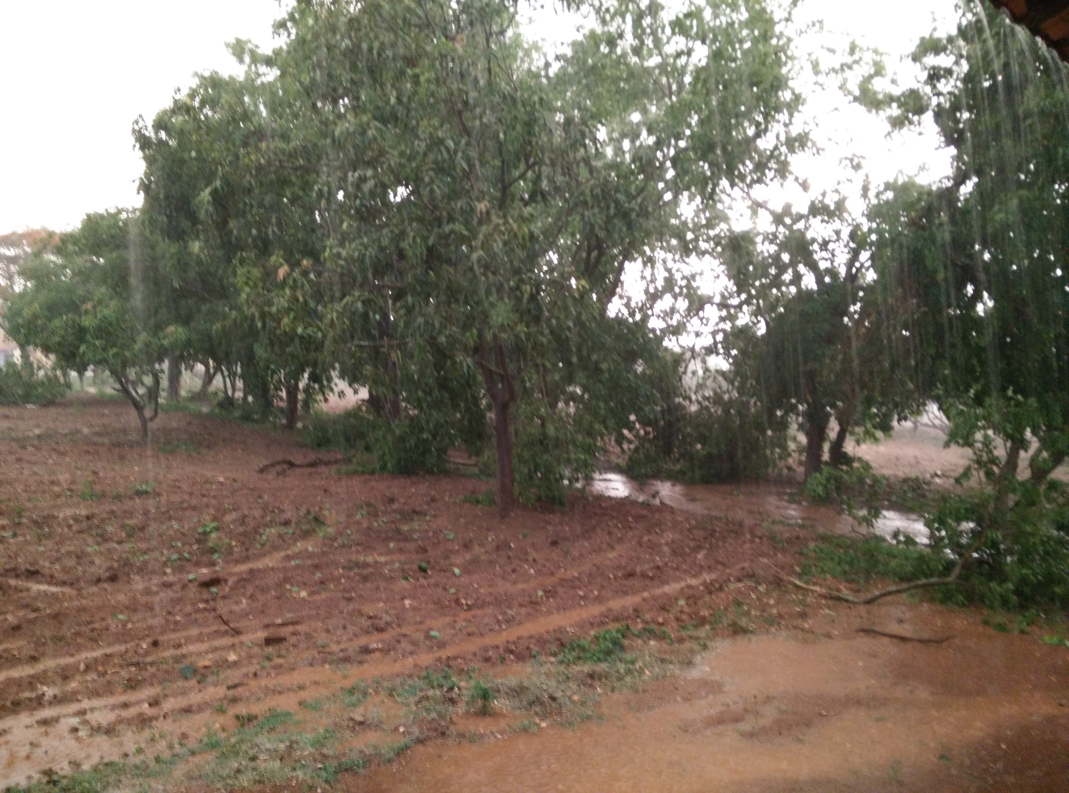
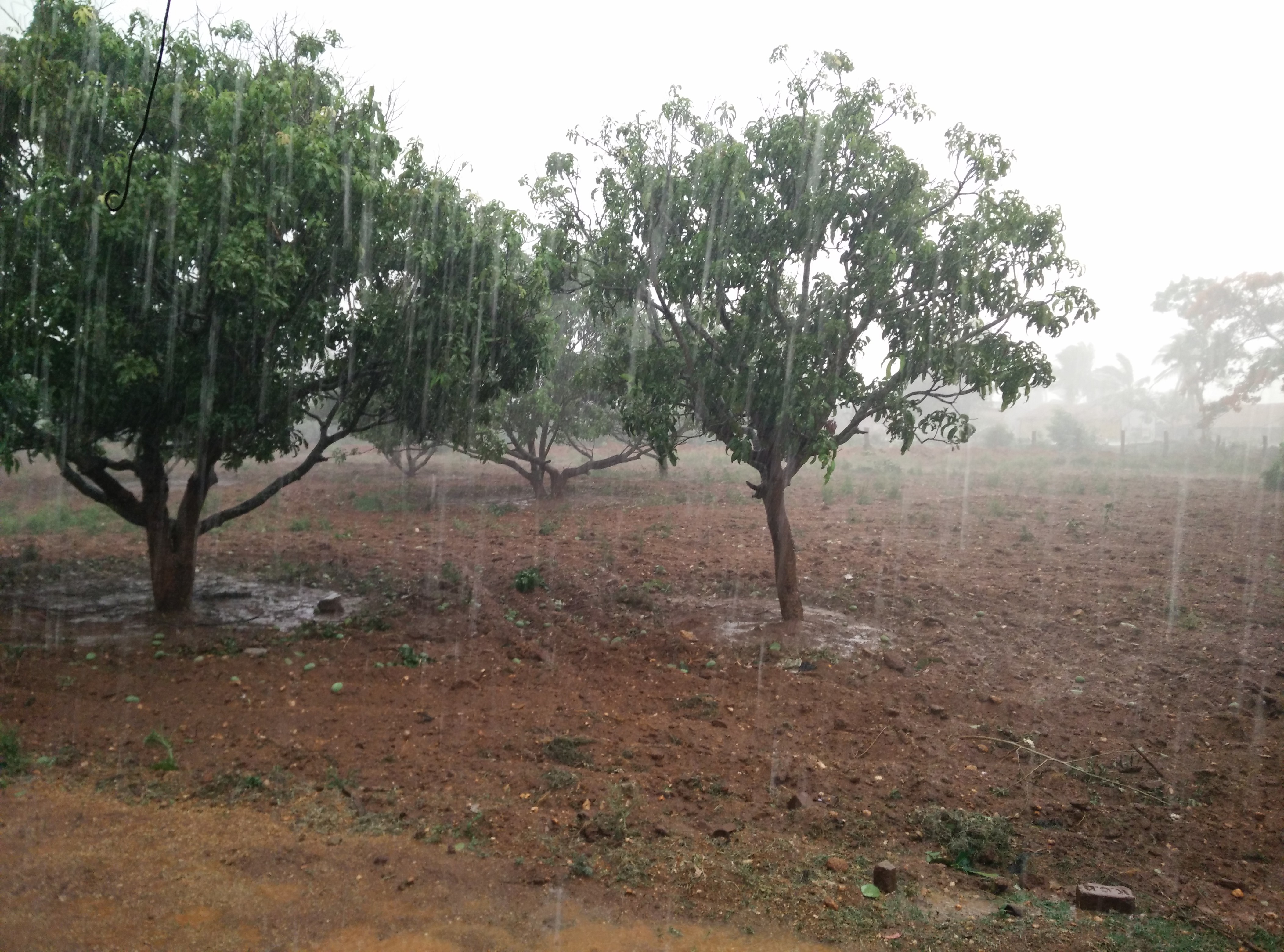
Trip to Banavara
Trip to Banavara
Trip to Banavara
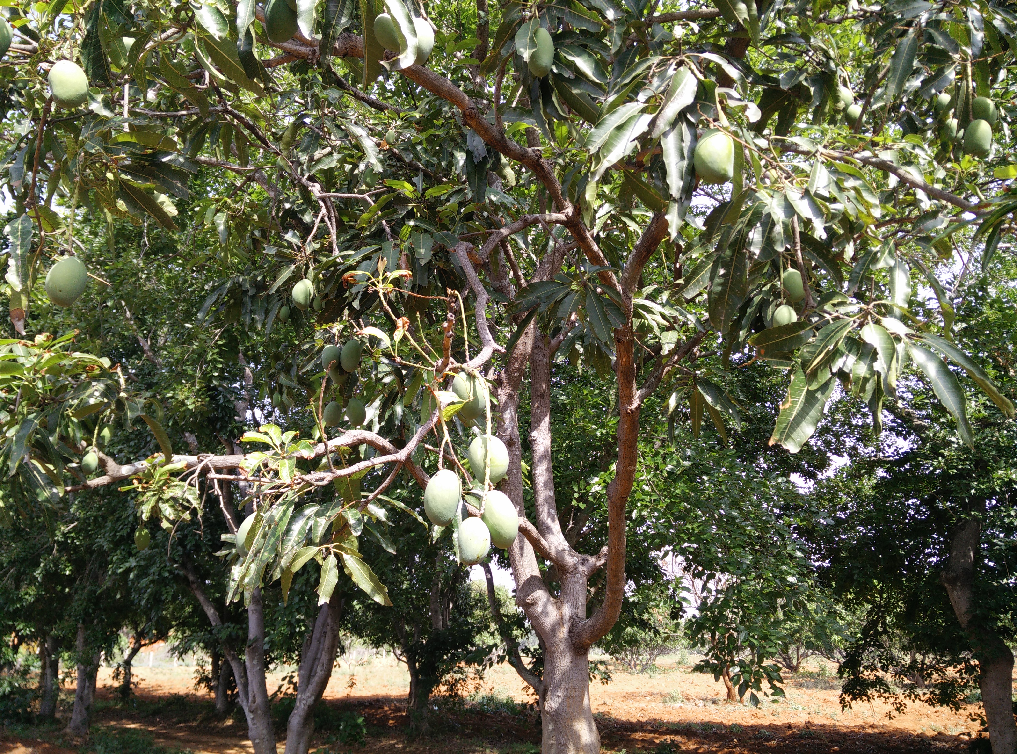
Trip to Banavara
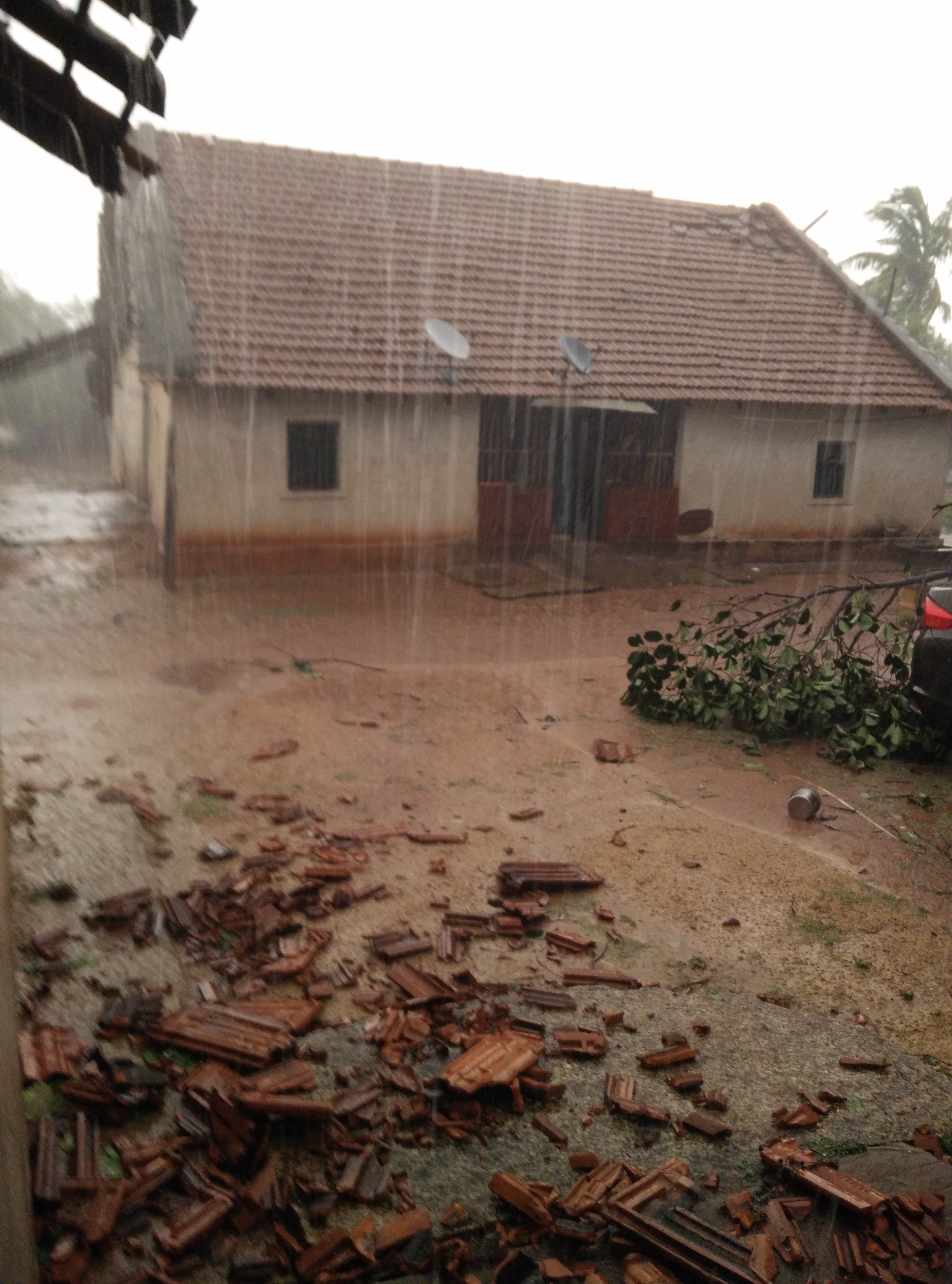
Trip to Banavara
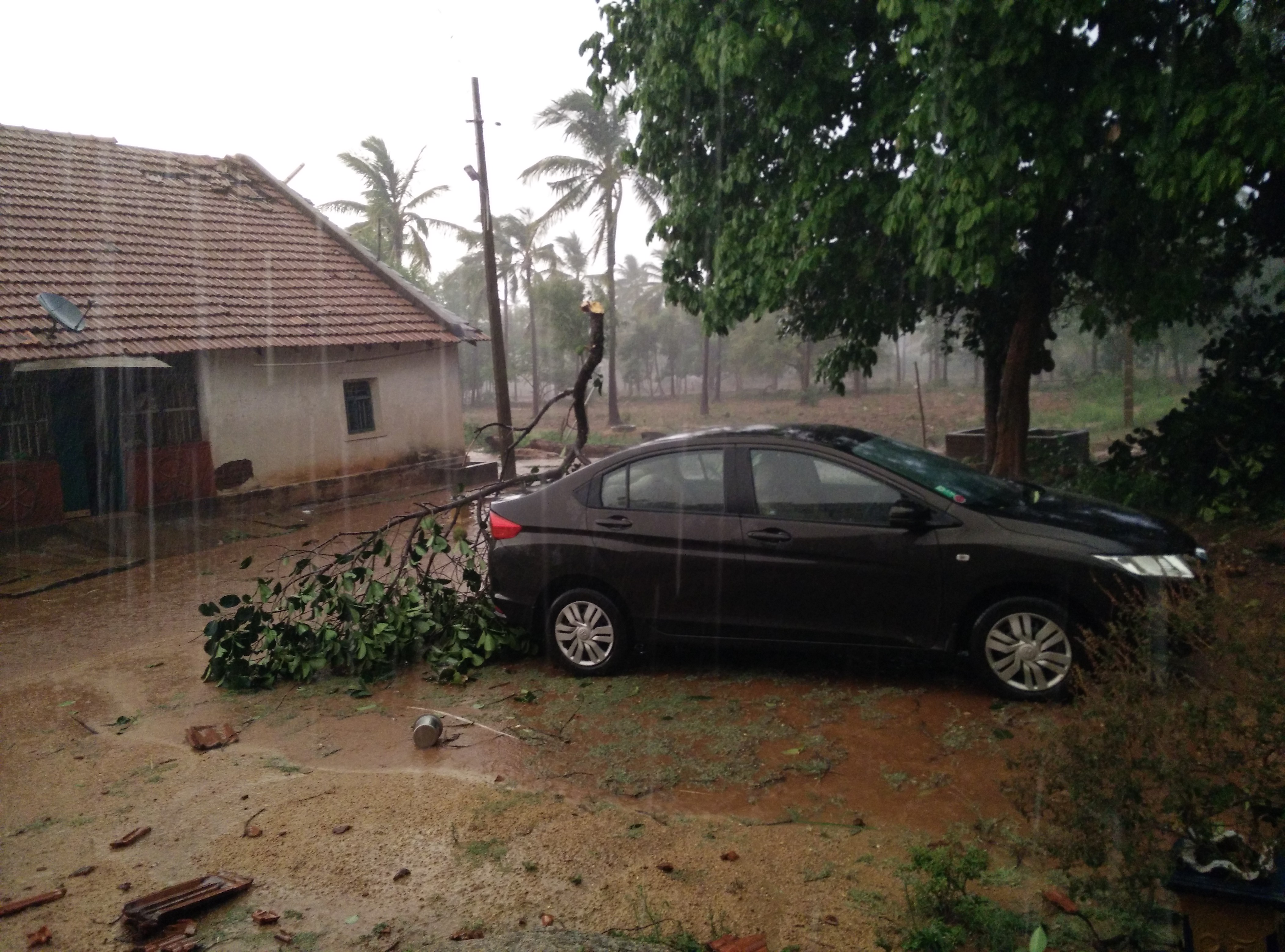
Trip to Banavara
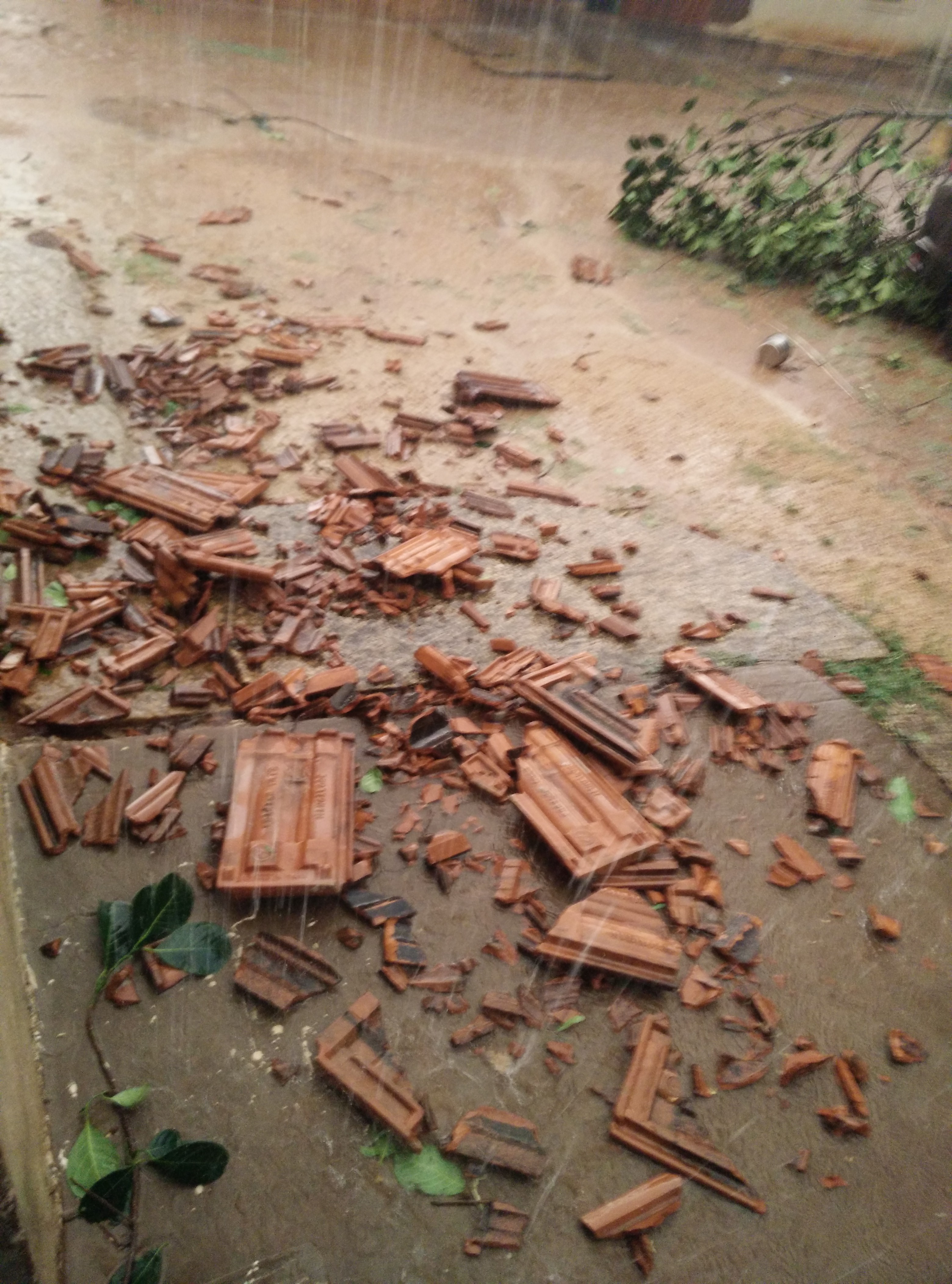
Trip to Banavara

Trip to Banavara

Trip to Banavara

Trip to Banavara

Trip to Banavara
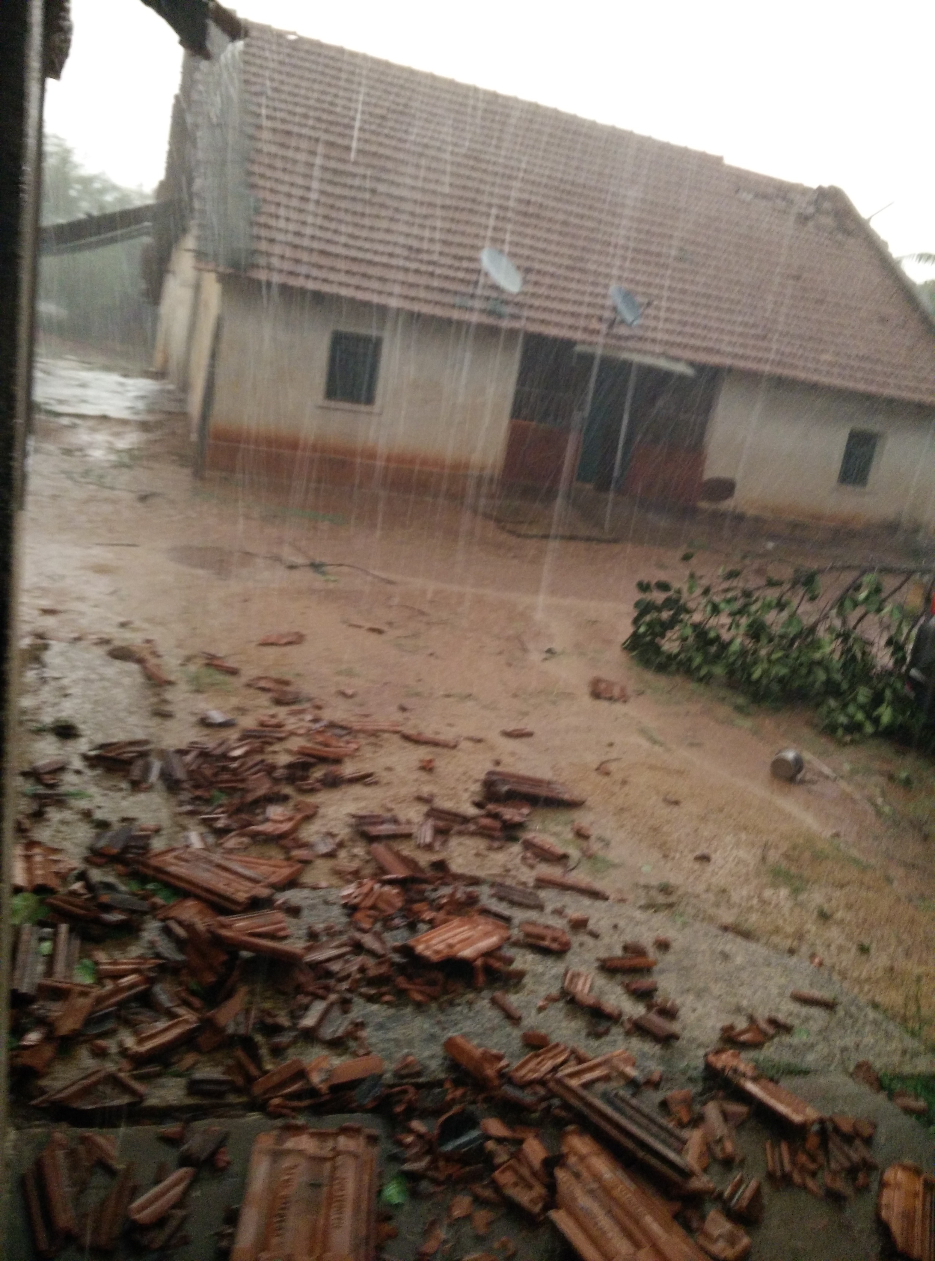
Trip to Banavara
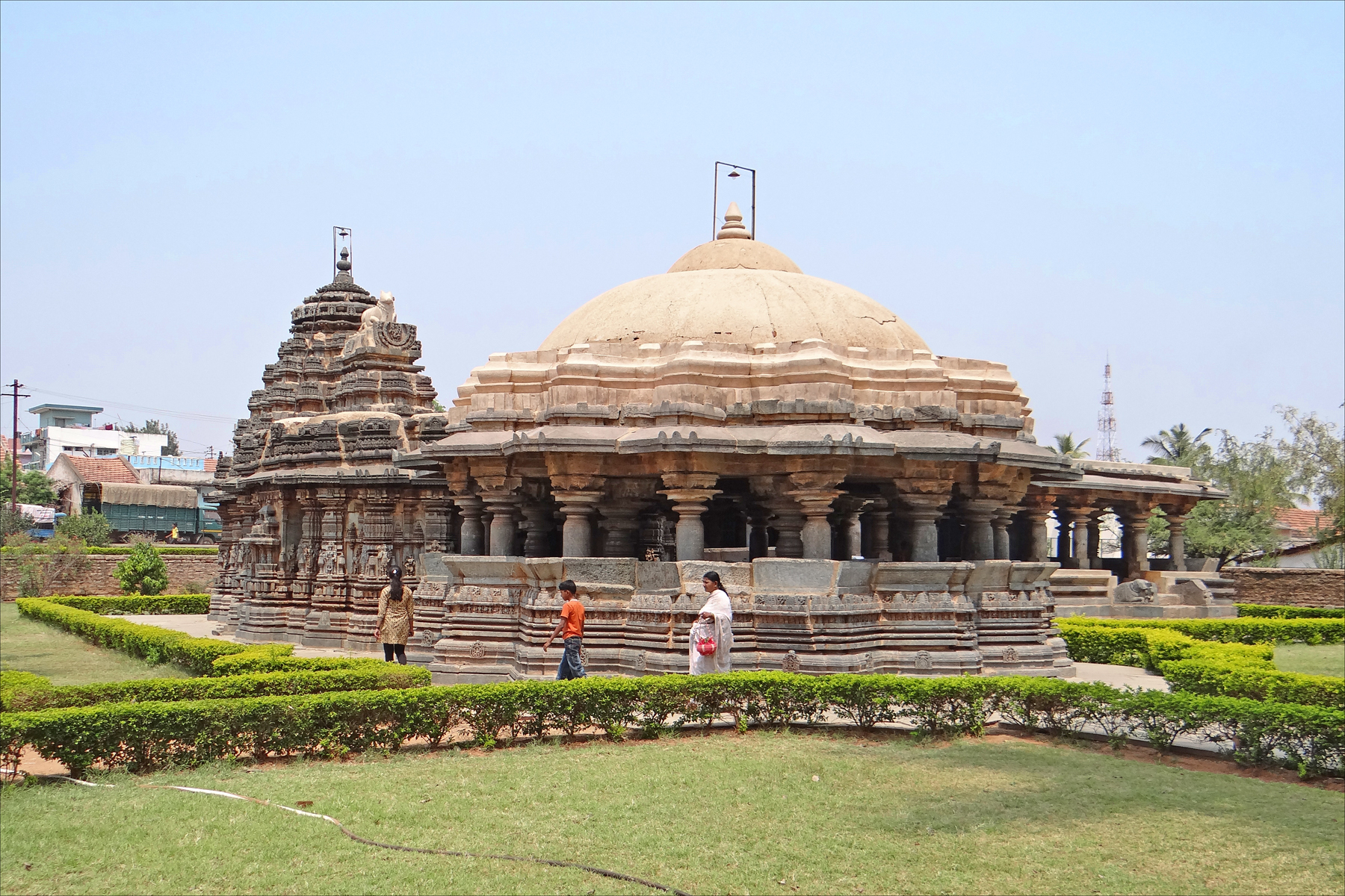
Le temple Kalameshwara (Arsikere, Inde)
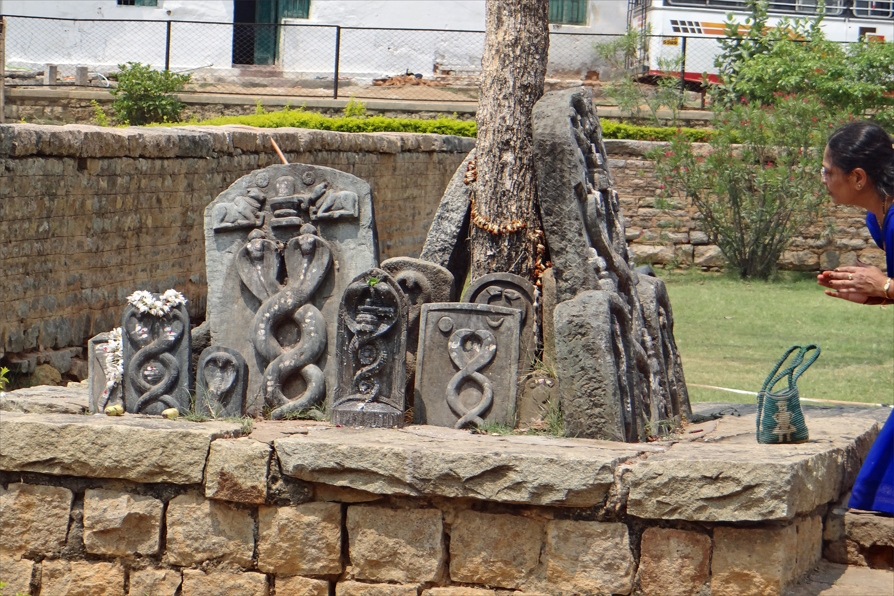
Culte des Naga (Arsikere, Inde)

YPR - KAWR ICE
Trip to Banavara
Topographic Map of Arsikere, Karnataka, India
Find elevation by address:

Places near Arsikere, Karnataka, India:
Javagal
Tiptur
Halepalya
Tiptur
Hassan
Halebeedu
Bengaluru - Mangaluru Highway
Hassan
Kadur
Tumkur
Alur
Channarayapattana
Shreerampura Road
Shreerampura Road
Shreerampura Road
Kanchipura
Hosadurga
Shravanbela Gola (rural)
Gorur
Holenarasipur
Recent Searches:
- Elevation of Corso Fratelli Cairoli, 35, Macerata MC, Italy
- Elevation of Tallevast Rd, Sarasota, FL, USA
- Elevation of 4th St E, Sonoma, CA, USA
- Elevation of Black Hollow Rd, Pennsdale, PA, USA
- Elevation of Oakland Ave, Williamsport, PA, USA
- Elevation of Pedrógão Grande, Portugal
- Elevation of Klee Dr, Martinsburg, WV, USA
- Elevation of Via Roma, Pieranica CR, Italy
- Elevation of Tavkvetili Mountain, Georgia
- Elevation of Hartfords Bluff Cir, Mt Pleasant, SC, USA