Elevation of Tiptur, Karnataka, India
Location: India > Karnataka > Tumkur >
Longitude: 76.4702946
Latitude: 13.2637814
Elevation: 856m / 2808feet
Barometric Pressure: 91KPa
Elevation Map:
Satellite Map:
Related Photos:

000_0229-1
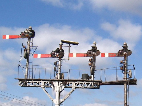
Semaphore Stops
Topographic Map of Tiptur, Karnataka, India
Find elevation by address:

Places near Tiptur, Karnataka, India:
Tiptur
Halepalya
Tumkur
Arsikere
Mayasandra
Sriramanuja Residency
Bengaluru - Mangaluru Highway
Hassan
Channarayapattana
Bellur Cross
Shravanbela Gola (rural)
Javagal
Hassan
Shreerampura Road
Shreerampura Road
Shreerampura Road
Kanchipura
Halebeedu
Bangalore Division
Holenarasipur
Recent Searches:
- Elevation of Corso Fratelli Cairoli, 35, Macerata MC, Italy
- Elevation of Tallevast Rd, Sarasota, FL, USA
- Elevation of 4th St E, Sonoma, CA, USA
- Elevation of Black Hollow Rd, Pennsdale, PA, USA
- Elevation of Oakland Ave, Williamsport, PA, USA
- Elevation of Pedrógão Grande, Portugal
- Elevation of Klee Dr, Martinsburg, WV, USA
- Elevation of Via Roma, Pieranica CR, Italy
- Elevation of Tavkvetili Mountain, Georgia
- Elevation of Hartfords Bluff Cir, Mt Pleasant, SC, USA